Immersing in the captivating landscapes of Remptendorf in Thüringen, Germany on a cycling adventure.
Cycling routes from Remptendorf
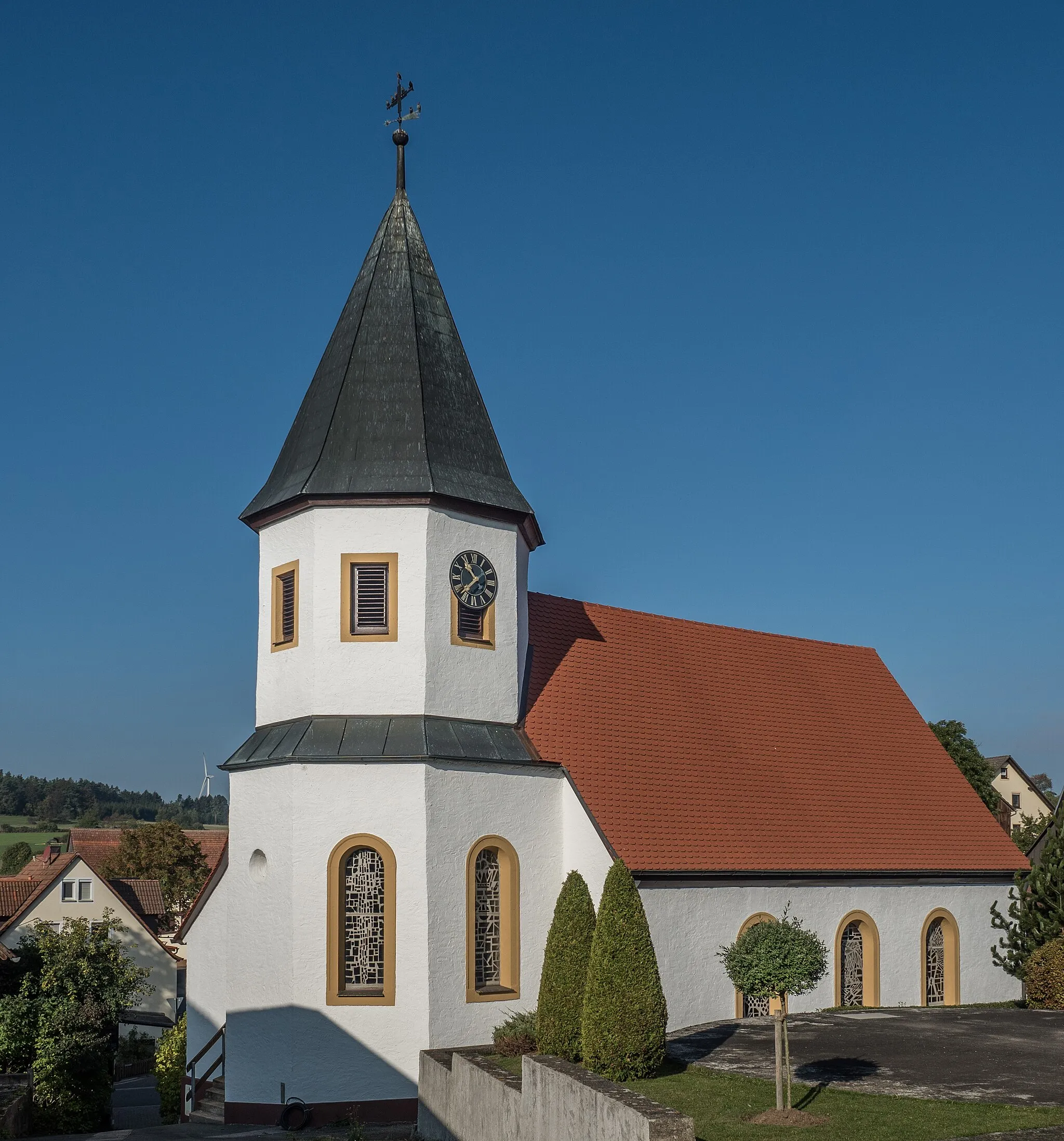
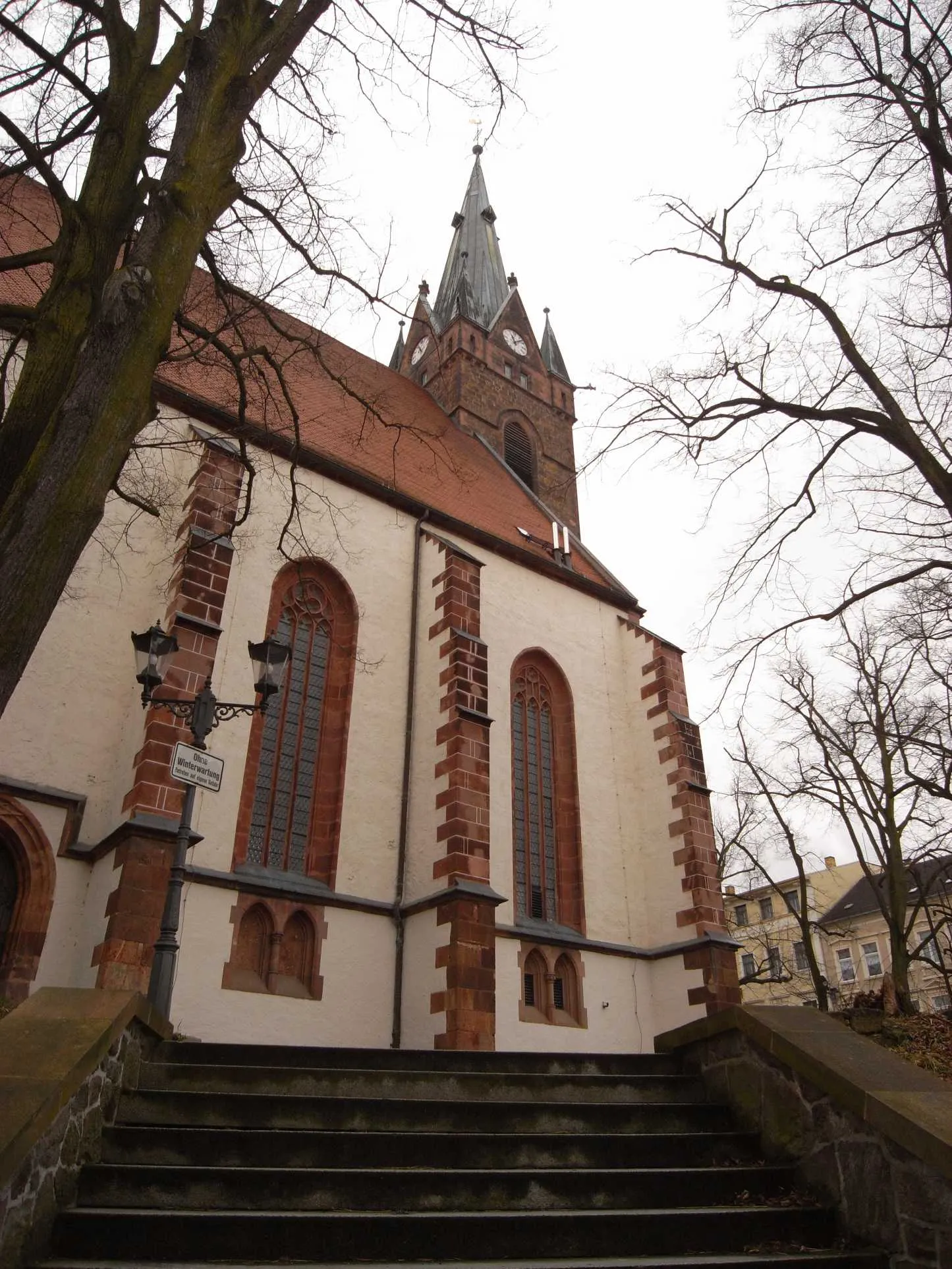
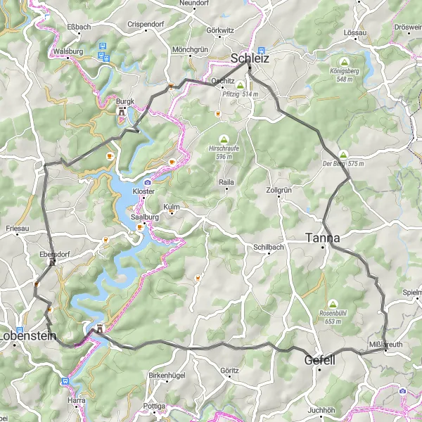
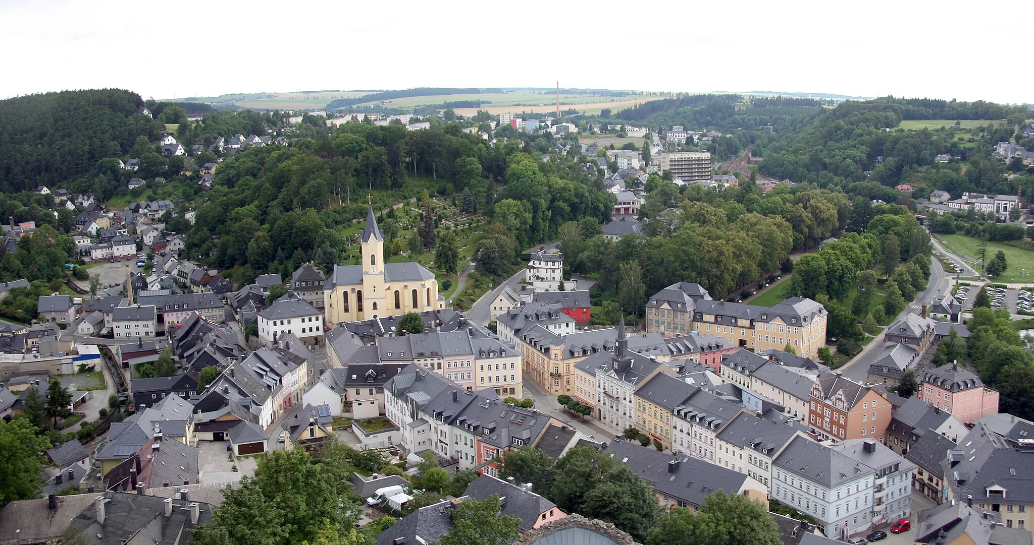
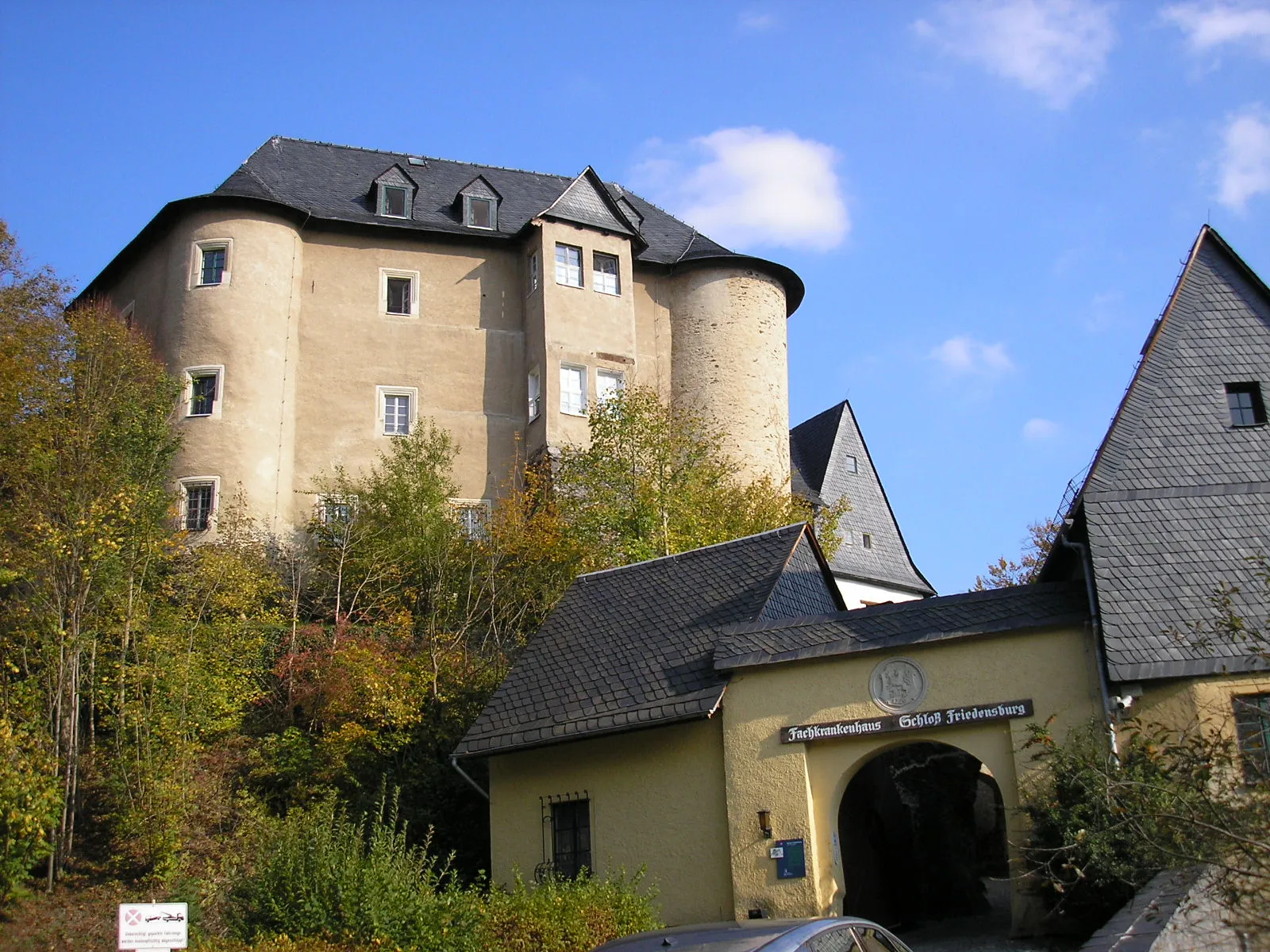
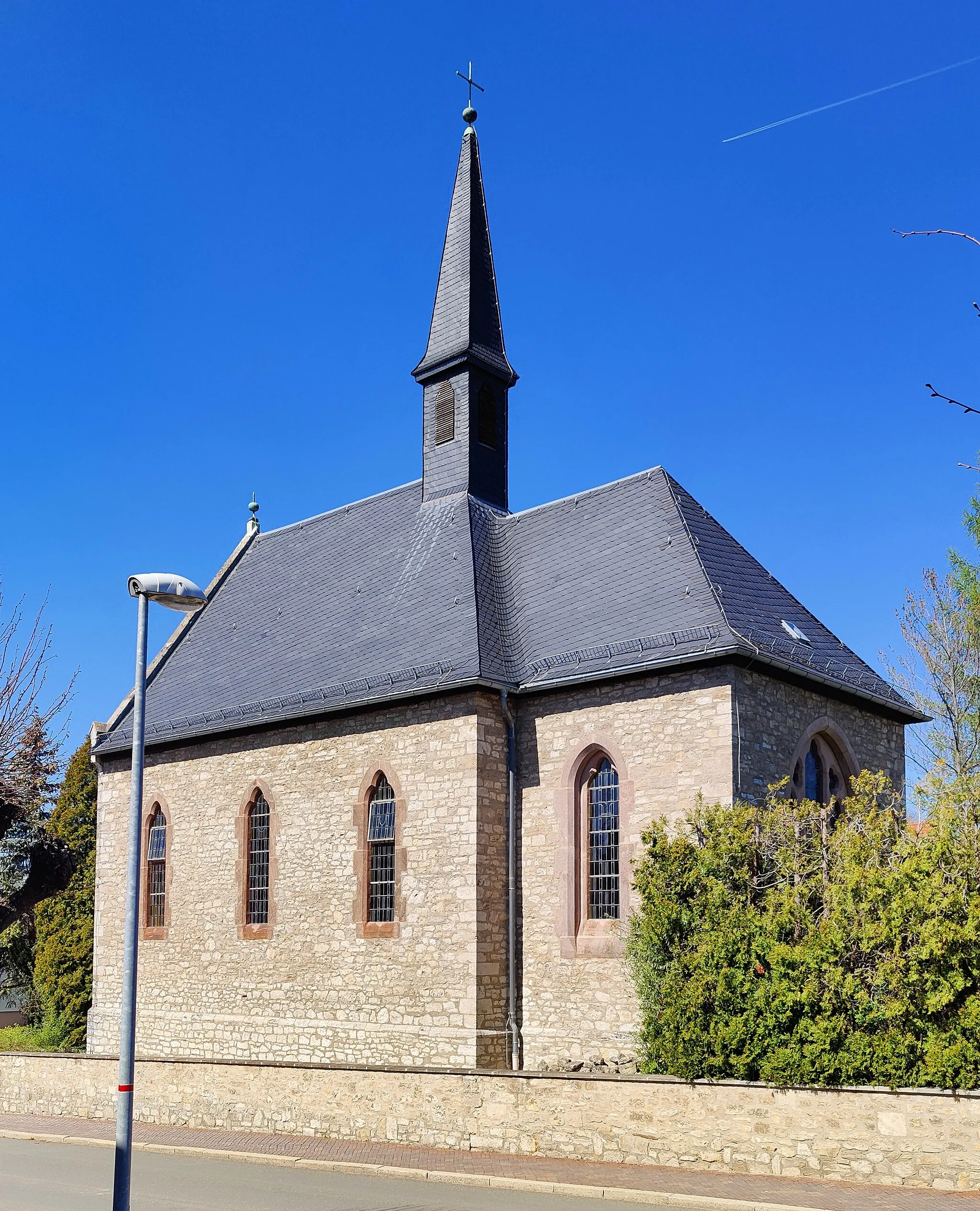
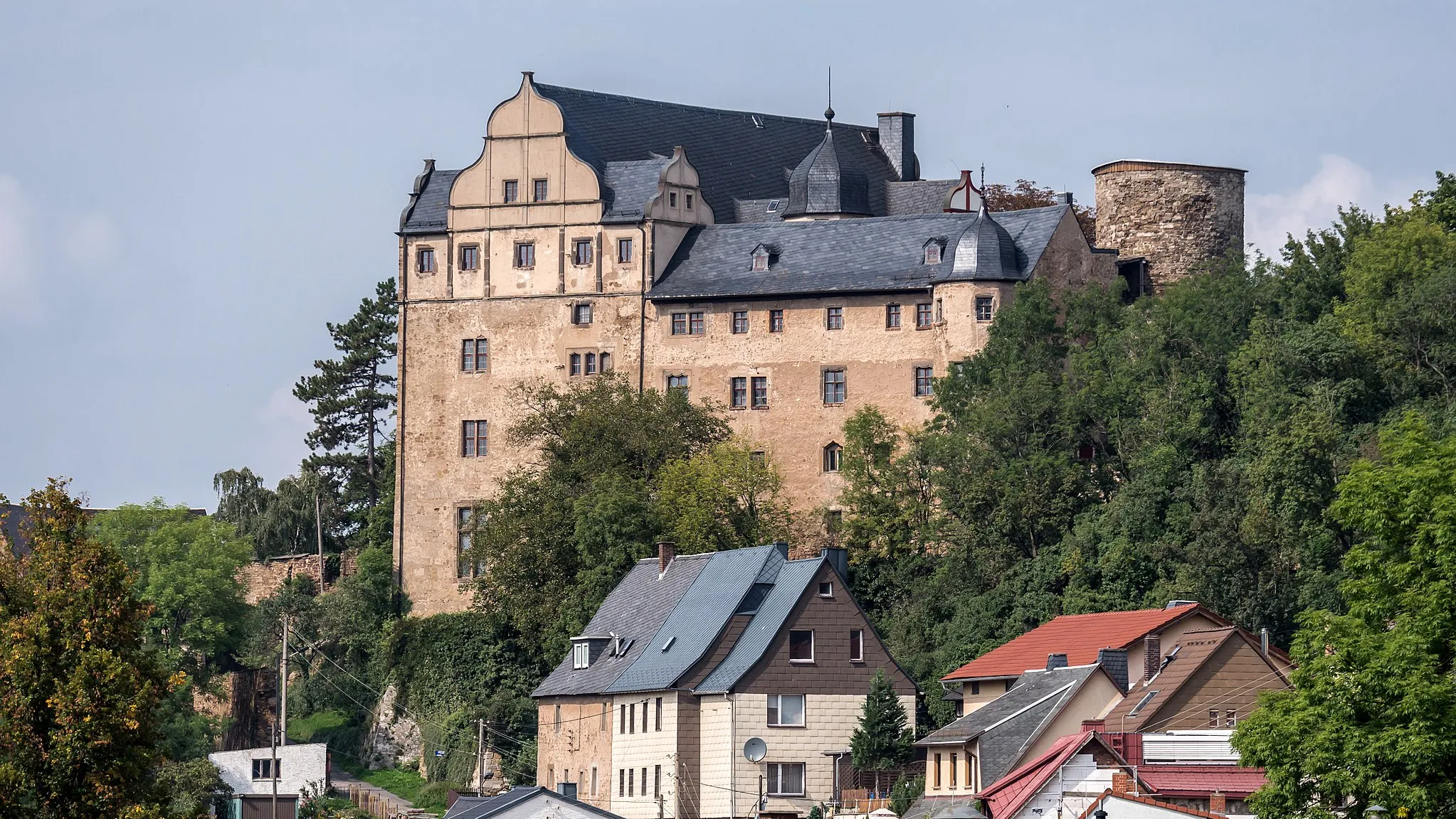
Remptendorf in Thüringen, Germany is surrounded by enchanting landscapes, making it an attractive destination for road and gravel cyclists. The town offers rolling hills and idyllic farmlands, providing varied terrain for enjoyable rides. As part of the Saale-Orla-Kreis district, cyclists can explore the scenic Saale Valley and experience the local hospitality in charming villages along the way. Remptendorf is an ideal locality for cyclists seeking tranquility and the opportunity to discover the hidden gems of Thüringen.
The Gravel Adventure
A thrilling gravel ride with stunning views and challenging terrain
This 106 km gravel route starting near Remptendorf offers adventurous cyclists a challenging ride with a total ascent of 1856 m. The route takes you through beautiful landscapes, including the famous Weinberg, Mönchgrün, Sandberg, and Bernsgrün. You will also experience the historical and cultural highlights of Hammertorvorstadt, Galgenberg, Schwand, Kienberg, Gebersreuth, Steintor, Gans, Isabellengrün, and more. The difficulty level of this route is 4 out of 5, suitable for well-trained amateurs.
The Gravel Escape

An epic gravel ride through diverse landscapes and historic sites
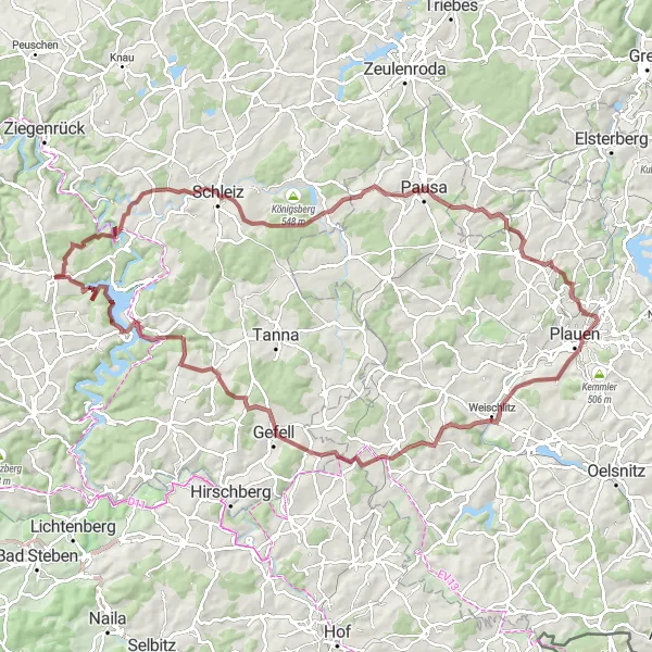
This adventurous 107 km gravel route near Remptendorf takes cyclists through diverse landscapes, including the stunning Lasterberg, Moxa, Köstitz, Galgenberg, Lippersdorf-Erdmannsdorf, Lutzer Berg, Leubsdorf, Berg, Mönchgrün, and Schöne Aussicht. With a challenging total ascent of 1918 m, this route is suitable for experienced cyclists seeking a thrilling ride. The route offers a unique blend of natural beauty and historical sites, offering riders a well-rounded experience. The difficulty level of this route is 4 out of 5, requiring a high level of fitness and cycling proficiency.
Climb through the Bocher Höhe and visit the Bismarckturm in Neustadt an der Orla.
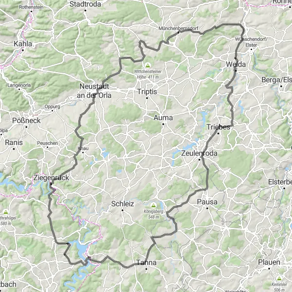
This road cycling route offers a challenging and hilly terrain, with an ascent of 2136 meters over a distance of 142 kilometers. Along the way, you will encounter some historic landmarks that are worth exploring. The highlights include the Bocher Höhe, a notable climb, and the Bismarckturm in Neustadt an der Orla, where you can enjoy a panoramic view of the surrounding countryside.

Enjoy a relaxing ride through charming small villages and stop by Möschlitz.
This road cycling route allows you to appreciate the small villages and picturesque landscapes of the region. With an ascent of 1027 meters over a distance of 76 kilometers, it offers a leisurely ride for intermediate cyclists. One of the highlights is Möschlitz, a quaint village known for its traditional architecture and peaceful atmosphere.

Explore scenic peaks and visit the Koselstein on this gravel cycling route.
This gravel cycling route takes you to some of the most picturesque peaks in the region. With an ascent of 1272 meters over a distance of 65 kilometers, it offers a challenging yet rewarding journey for experienced cyclists. One of the highlights is Koselstein, a rocky peak that provides breathtaking panoramic views of the surrounding landscapes.
The Gravel Discovery

An exhilarating gravel adventure through diverse landscapes near Remptendorf
Embark on a captivating 79 km gravel cycling journey starting near Remptendorf, featuring the breathtaking landscapes of Remptendorf, Bügelshügel, Marktgölitz, Weinberg, Steinberg, Kleingeschwenda, Kappelberg, and Lückenmühle. With an impressive total ascent of 1886 m, this route offers adventurous cyclists a thrilling experience. Discover hidden gems along the way, such as charming villages, scenic viewpoints, and idyllic natural landscapes. The difficulty level of this route is 4 out of 5, perfect for experienced gravel riders seeking an epic adventure.
Admire the views from the Bocher Höhe and explore the charming village of Gans.
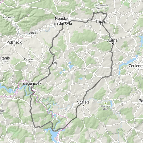
This road cycling route offers magnificent panoramic views and takes you through beautiful countryside and charming villages. With an ascent of 1201 meters over a distance of 85 kilometers, it provides a rewarding adventure for intermediate cyclists. The highlights include the Bocher Höhe, which offers breathtaking views of the surrounding landscapes, and the picturesque village of Gans.
A breathtaking road cycling route with diverse landscapes and challenging climbs
Embark on a thrilling 103 km road cycling journey starting near Remptendorf, offering cyclists a mix of stunning natural landscapes and challenging climbs. With a total ascent of 2112 m, this route is perfect for experienced cyclists looking for an adventure. Highlights include Remptendorf, Söllhügel, Totenkopf, Tschirn, Gifting, Pfaffenberg, Steinbach an der Haide, Schieferberg, Galgenhügel, Altengesees, and the thrilling descent of Abfahrt Draisinen nach Ziegenrück. The difficulty level of this route is 5 out of 5, suitable only for very well-trained amateurs.
A scenic road cycling route through charming rural areas near Remptendorf
Enjoy a picturesque 64 km road cycling adventure starting near Remptendorf, taking you through the peaceful landscapes of Möschlitz, Lohmen, Oberböhmsdorf, Der Berg, Haidefeld, Pfaffenhügel, and back to Remptendorf. With a manageable total ascent of 1022 m, this route is ideal for cycling enthusiasts looking for a scenic yet approachable ride. Take in the captivating beauty of the countryside and experience the tranquility that rural areas have to offer. The difficulty level of this route is 3 out of 5, suitable for regular cyclists with moderate fitness levels.

Embark on a gravel adventure through picturesque landscapes and visit the Haidefeld.
This gravel cycling route takes you on a scenic journey through beautiful natural landscapes. With an ascent of 1681 meters over a distance of 101 kilometers, this route offers both challenge and tranquility. One of the highlights is Haidefeld, a small village surrounded by stunning meadows and forests.
Cycling routes nearby:

Nearby regions: