Challenging Hills and Historic Landmarks
A road cycling route starting from Remptendorf
Climb through the Bocher Höhe and visit the Bismarckturm in Neustadt an der Orla.
Map
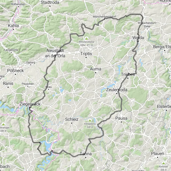
This road cycling route offers a challenging and hilly terrain, with an ascent of 2136 meters over a distance of 142 kilometers. Along the way, you will encounter some historic landmarks that are worth exploring. The highlights include the Bocher Höhe, a notable climb, and the Bismarckturm in Neustadt an der Orla, where you can enjoy a panoramic view of the surrounding countryside.
road
142 km
2136 m
Tough
Route profile
Highlights on the route
0 km
0 km
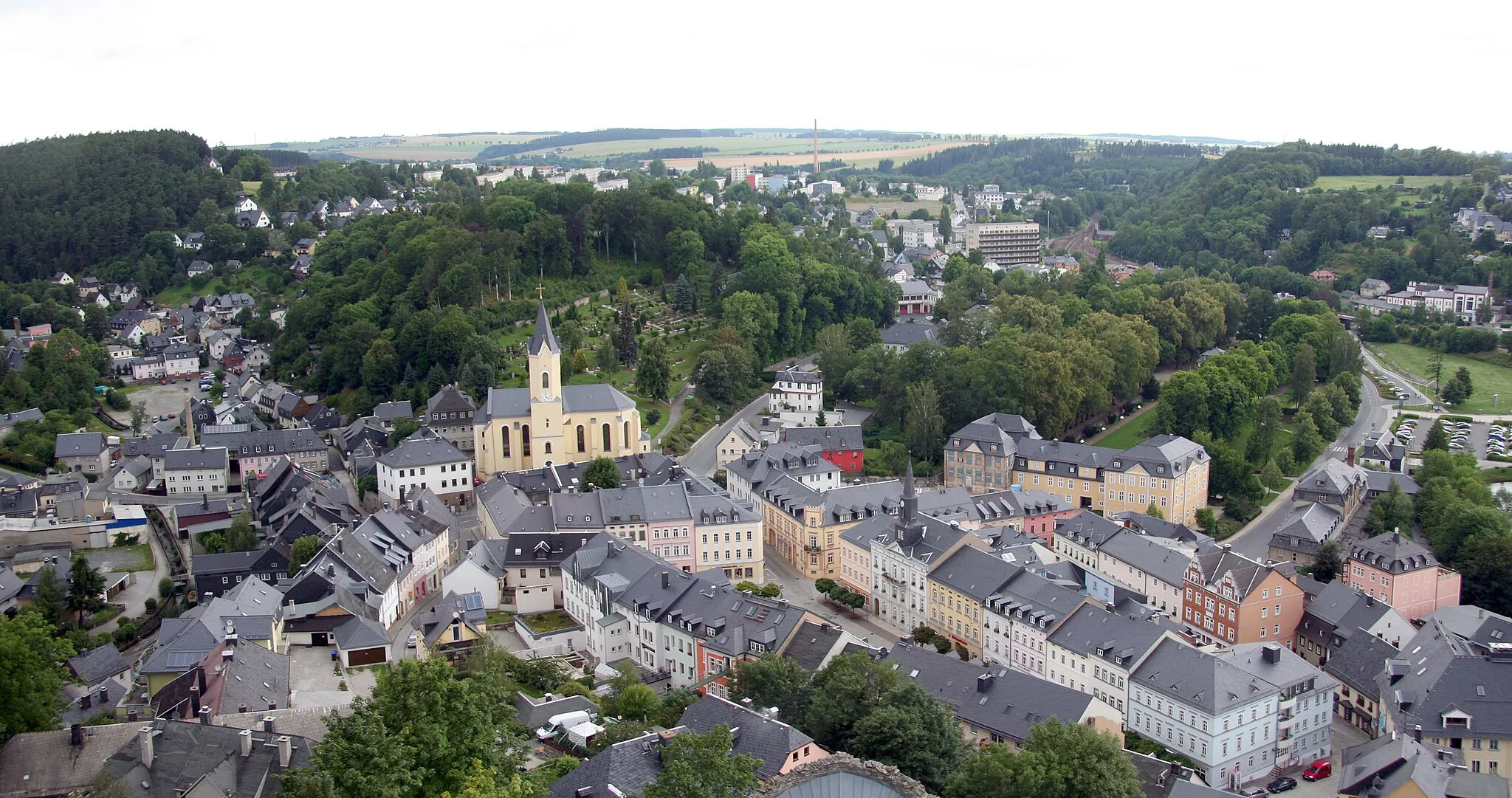
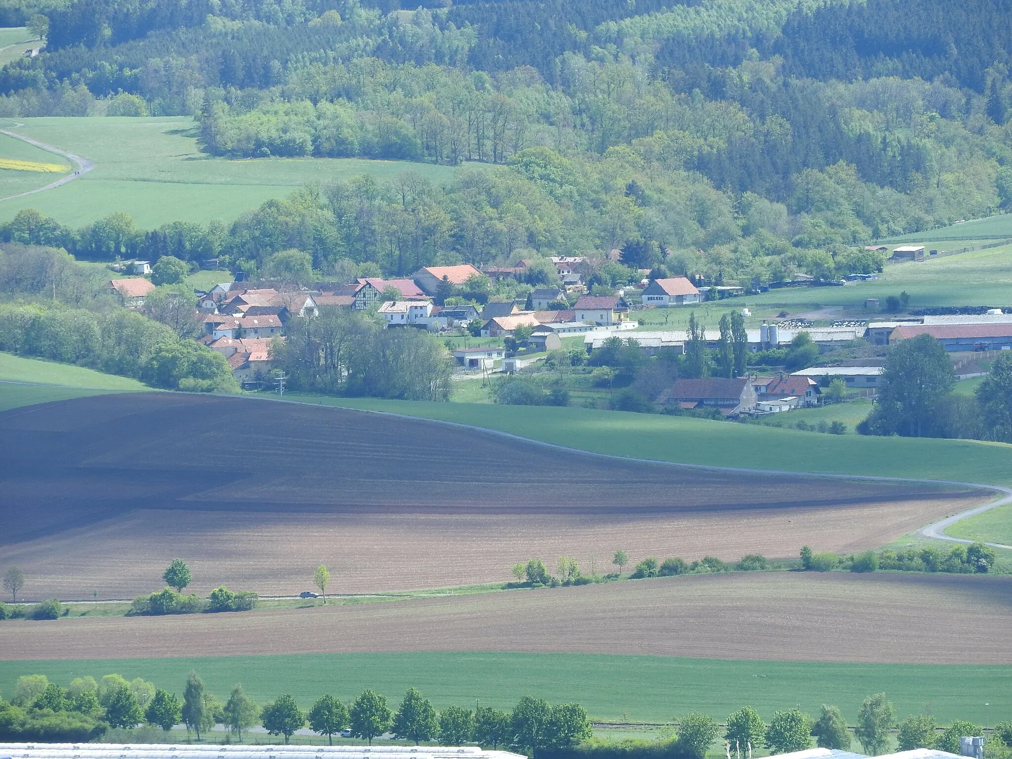
Start: Remptendorf Village centerRemptendorf: Immersing in the captivating landscapes of Remptendorf in Thüringen, Germany on a cycling adventure.
Remptendorf in Thüringen, Germany is surrounded by enchanting landscapes, making it an attractive destination for road and gravel cyclists. The town offers rolling hills and idyllic farmlands, providing varied terrain for enjoyable rides. As part of the Saale-Orla-Kreis district, cyclists can explore the scenic Saale Valley and experience the local hospitality in charming villages along the way. Remptendorf is an ideal locality for cyclists seeking tranquility and the opportunity to discover the hidden gems of Thüringen.13 km
13 km
Bocher Höhe477 mPeakThe Bocher Höhe offers a challenging ascent with stunning views at the top.
13 km
13 km
KülmlaVillageKülmla is a small village with beautiful countryside scenery along the route.
33 km
33 km
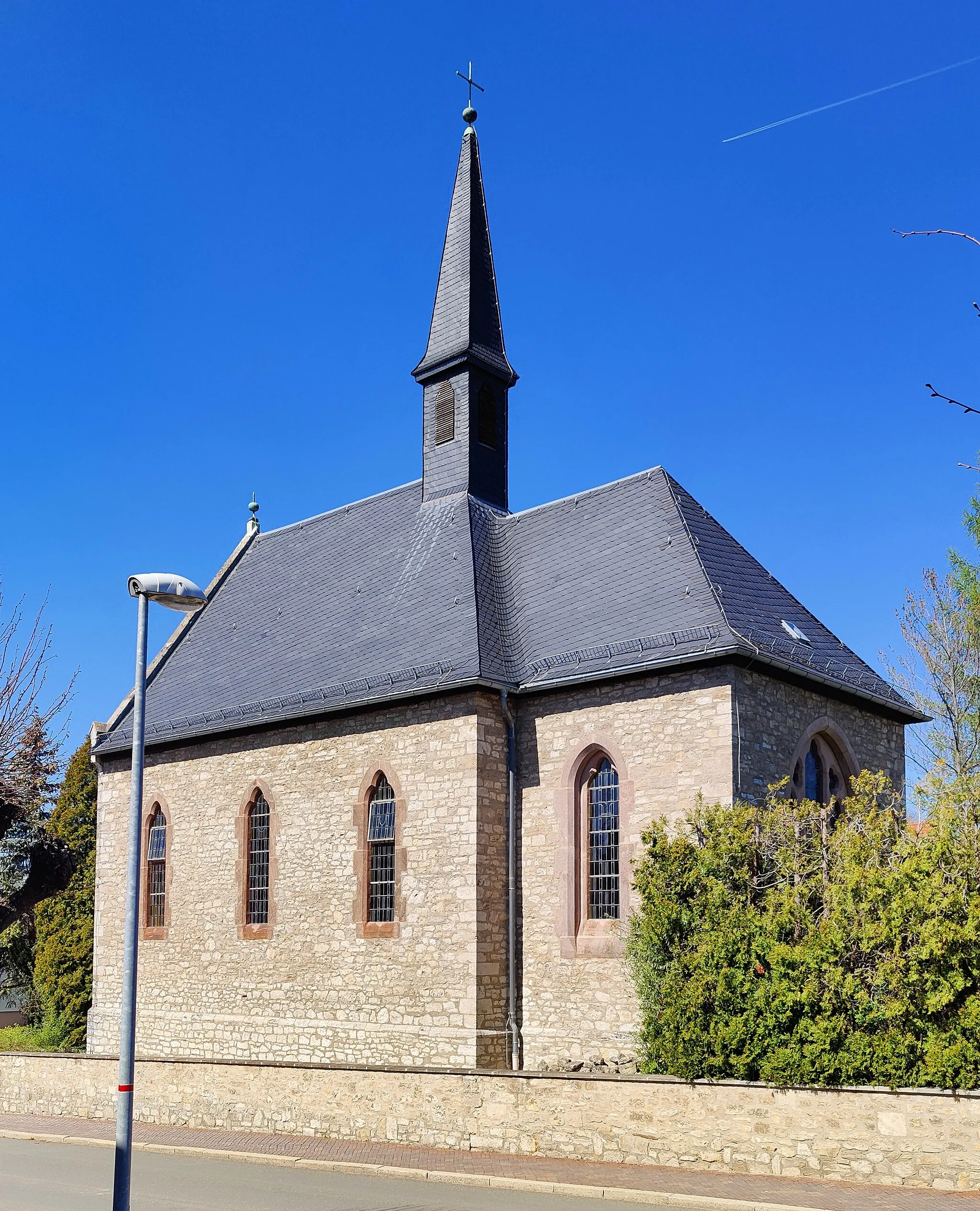
Bismarckturm Neustadt an der OrlaViewpointThe Bismarckturm in Neustadt an der Orla is a historic landmark with a panoramic view.
37 km
37 km
ZwackauVillageZwackau is a charming village with traditional architecture.
55 km
55 km
MünchenbernsdorfVillageMünchenbernsdorf features picturesque streets and historic buildings.
56 km
56 km
Fabelsberg351 mPeakFabelsberg is a small hamlet with tranquil countryside surroundings.
63 km
63 km
GorlitzschVillageGorlitzsch is a scenic village with idyllic rural landscapes.
66 km
66 km
Zoitzberg285 mPeakZoitzberg offers beautiful views of the rolling hills and valleys in the area.
79 km
79 km
LoitschVillageLoitsch is a quaint village with classic German architecture.
101 km
101 km
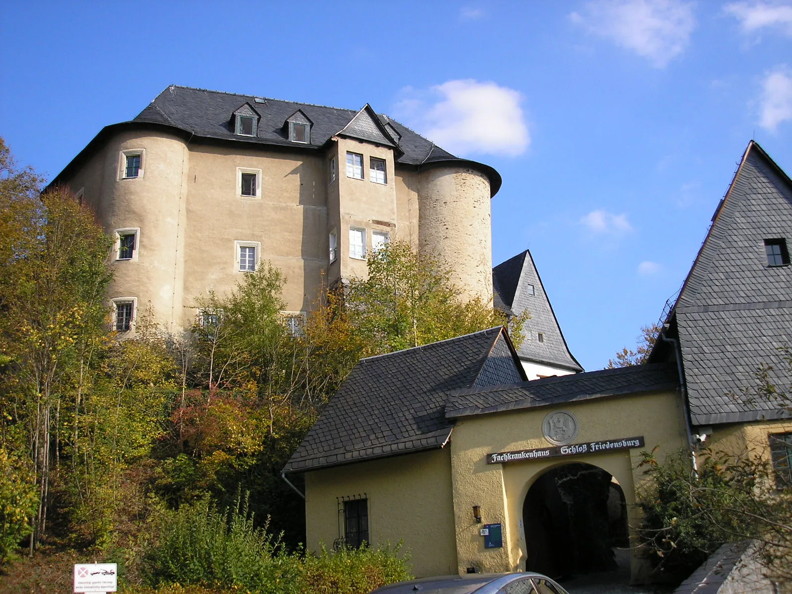
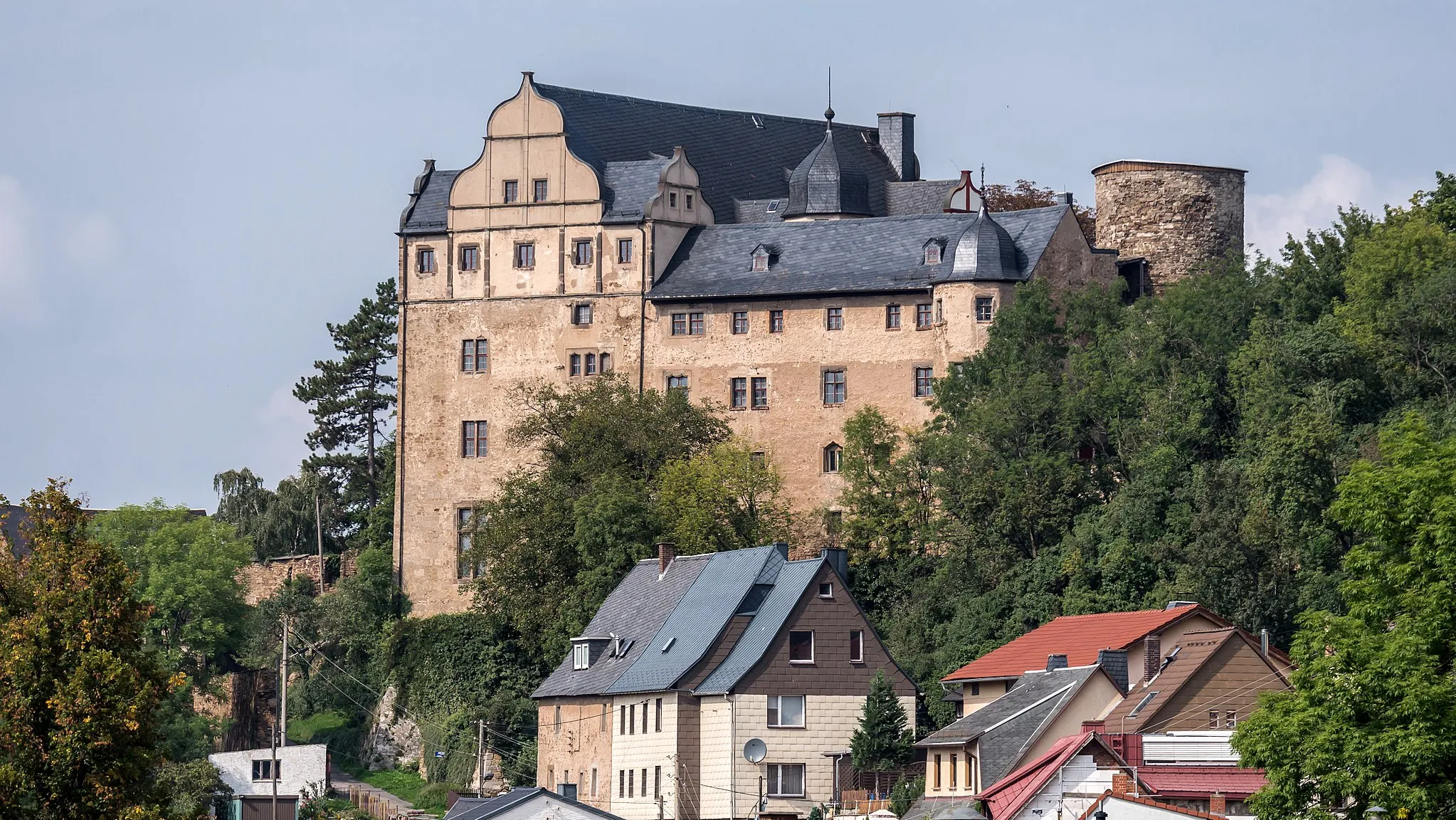
KatzensteinViewpointKatzenstein is a medieval castle with a rich history and impressive views.
104 km
104 km
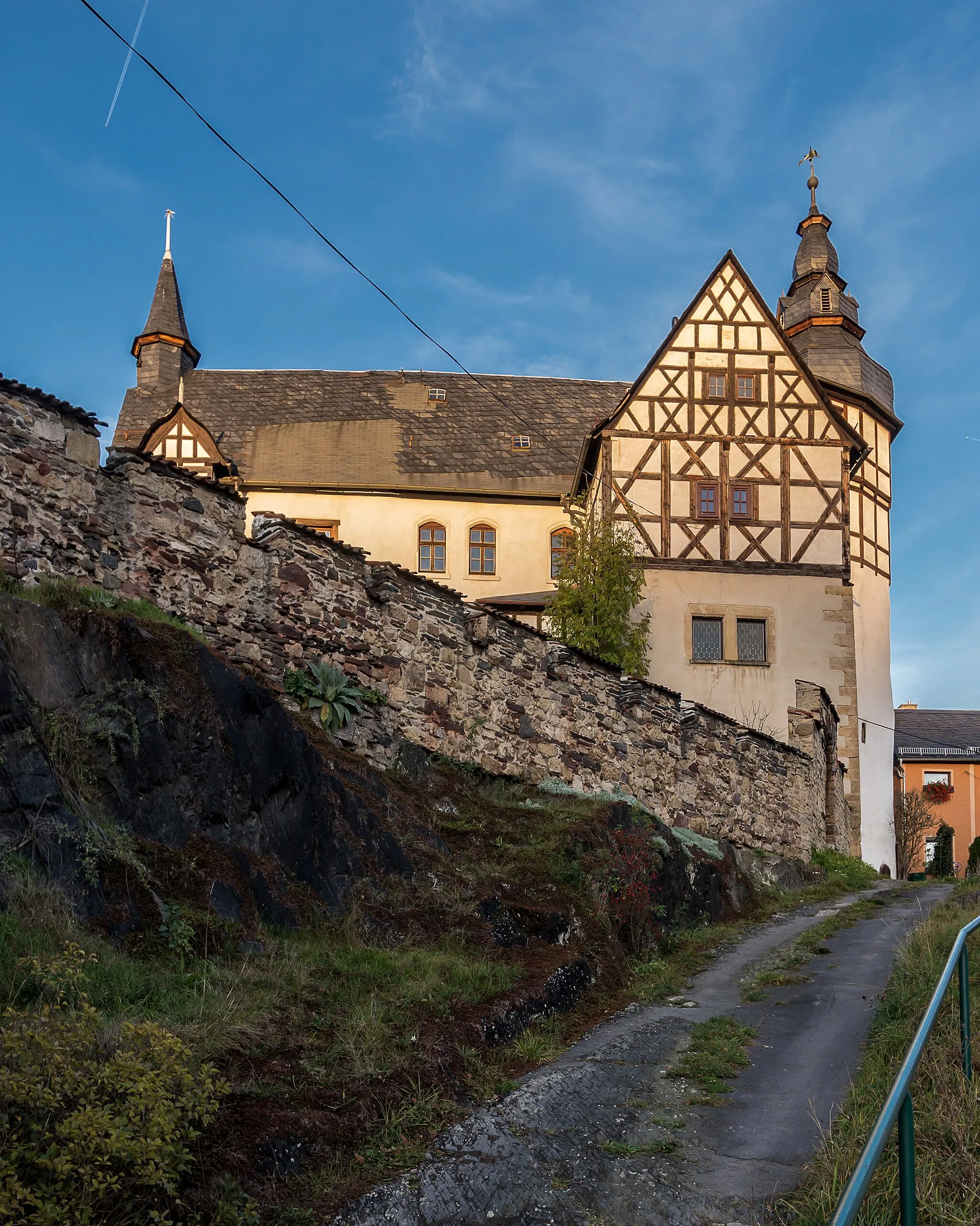
ThierbachVillageThierbach is a charming village known for its traditional half-timbered houses.
113 km
113 km
LangenbachVillageLangenbach is a picturesque village nestled in the Thuringian Forest.
115 km
115 km
Der Berg575 mPeakThe towering Der Berg offers a challenging climb rewarded with breathtaking views.
129 km
129 km
Hatzenberg502 mPeakHatzenberg is a tranquil hilltop village with beautiful vistas.
137 km
137 km
RöppischVillageRöppisch is a scenic village surrounded by rolling hills and forests.
142 km
142 km
Finish: Remptendorf Village centerRemptendorf: Immersing in the captivating landscapes of Remptendorf in Thüringen, Germany on a cycling adventure.
Cycling routes from Remptendorf:
Cycling routes nearby: