Gravel Adventure through Nature's Beauty
A gravel cycling route starting from Remptendorf
Embark on a gravel adventure through picturesque landscapes and visit the Haidefeld.
Map

This gravel cycling route takes you on a scenic journey through beautiful natural landscapes. With an ascent of 1681 meters over a distance of 101 kilometers, this route offers both challenge and tranquility. One of the highlights is Haidefeld, a small village surrounded by stunning meadows and forests.
gravel
101 km
1681 m
Tough
Route profile
Highlights on the route
0 km
0 km
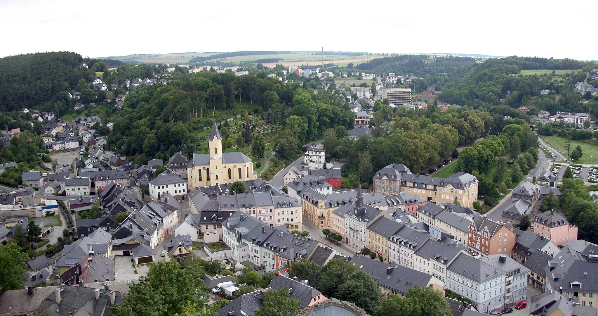
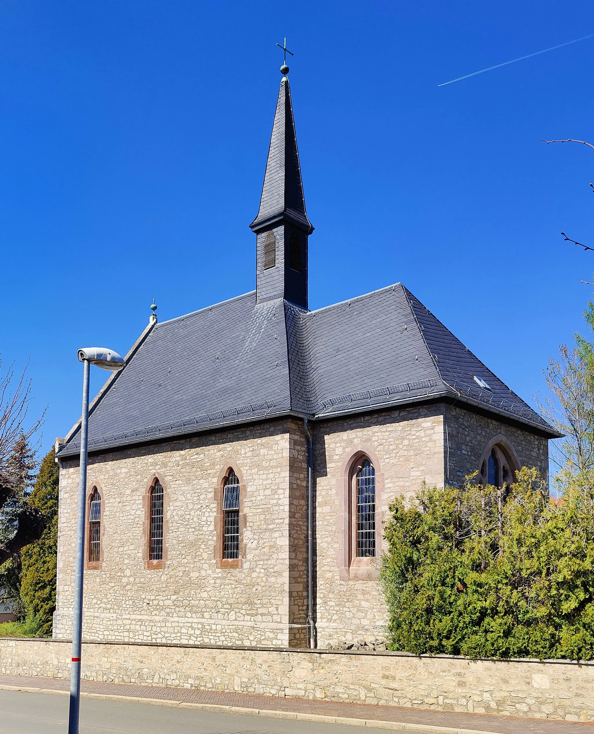
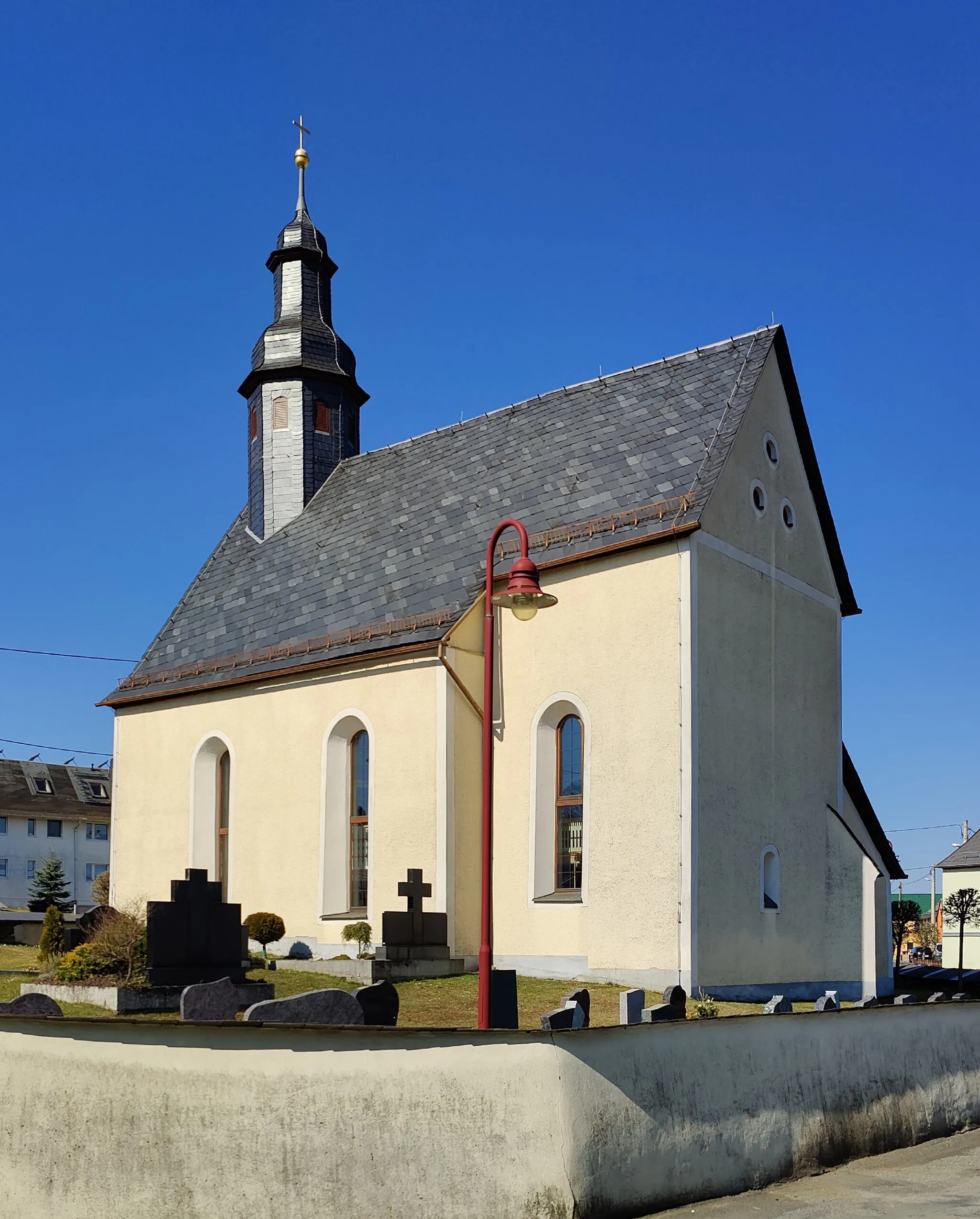
Start: Remptendorf Village centerRemptendorf: Immersing in the captivating landscapes of Remptendorf in Thüringen, Germany on a cycling adventure.
Remptendorf in Thüringen, Germany is surrounded by enchanting landscapes, making it an attractive destination for road and gravel cyclists. The town offers rolling hills and idyllic farmlands, providing varied terrain for enjoyable rides. As part of the Saale-Orla-Kreis district, cyclists can explore the scenic Saale Valley and experience the local hospitality in charming villages along the way. Remptendorf is an ideal locality for cyclists seeking tranquility and the opportunity to discover the hidden gems of Thüringen.5 km
5 km
Gans441 mPeak17 km
17 km
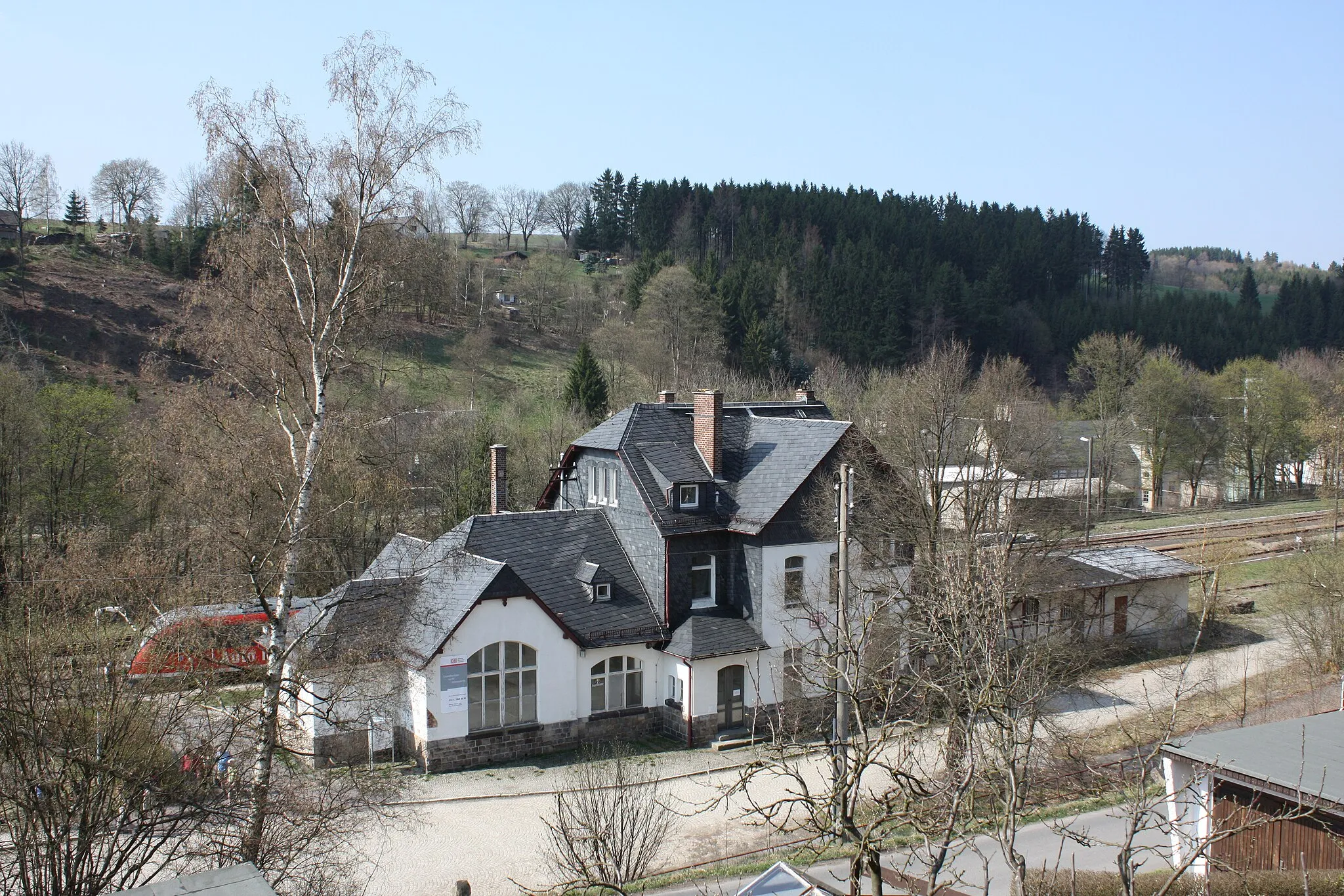
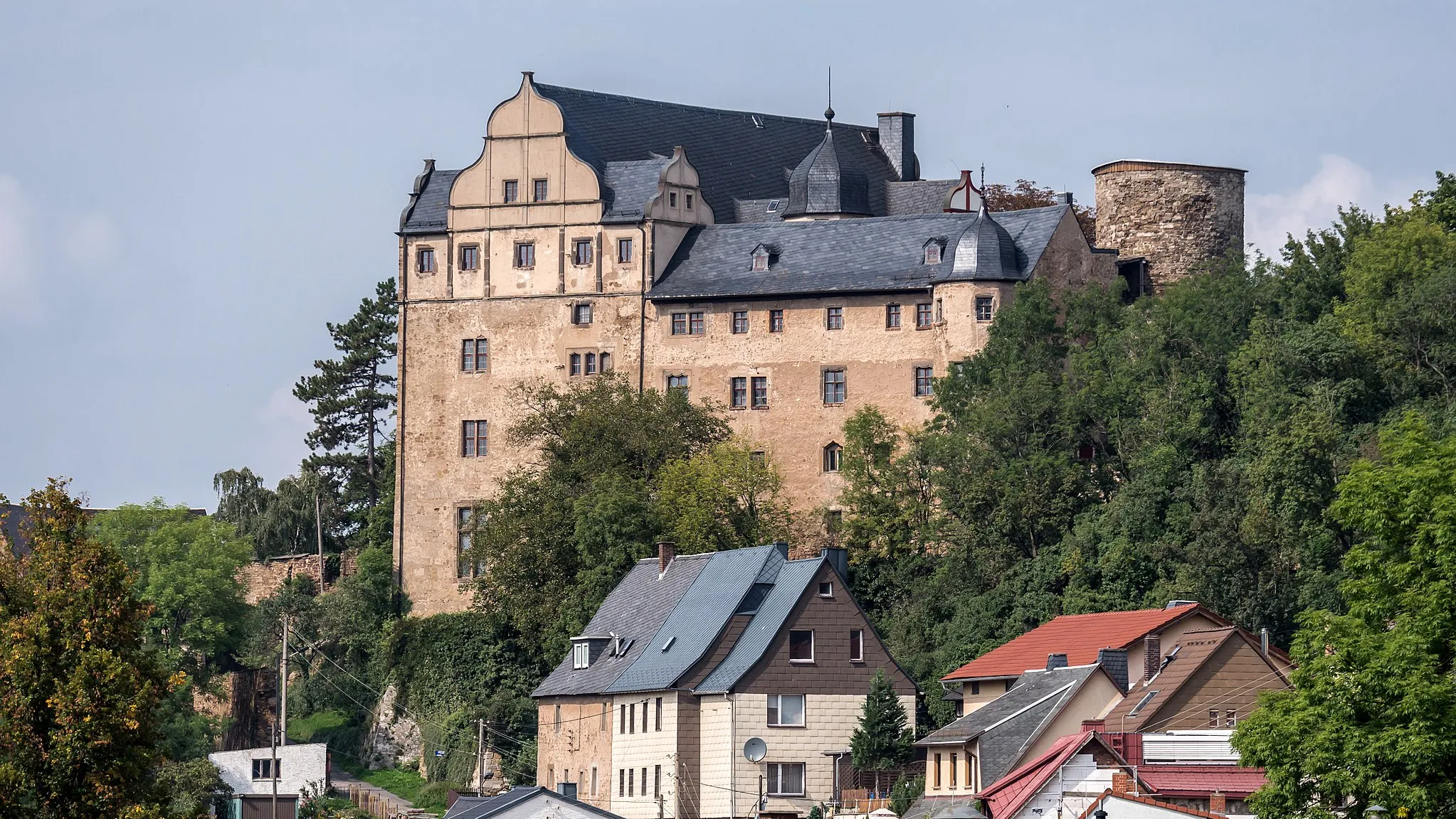
ZollgrünVillageZollgrün is a peaceful hamlet surrounded by green fields and rolling hills.
25 km
25 km
Rosenbühl653 mPeakRosenbühl is a picturesque hill with panoramic views of the surrounding landscapes.
28 km
28 km
HaidefeldHamletHaidefeld is a charming village known for its scenic natural beauty.
51 km
51 km
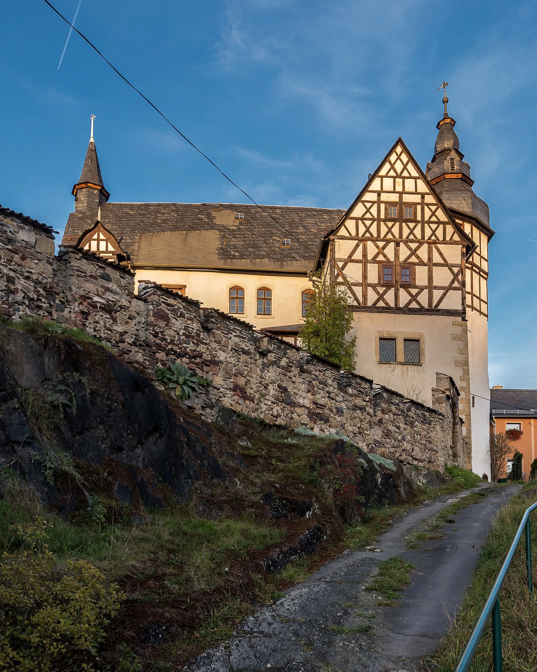
LeimitzSub-urbLeimitz is a quaint village with a traditional atmosphere and lovely countryside.
76 km
76 km
Preußenbühl559 mPeakPreußenbühl offers peaceful and idyllic surroundings with lush greenery.
101 km
101 km
RemptendorfVillageRemptendorf is the starting point and a great place to appreciate the beautiful landscapes along the route.
101 km
101 km
Finish: Remptendorf Village centerRemptendorf: Immersing in the captivating landscapes of Remptendorf in Thüringen, Germany on a cycling adventure.
Cycling routes from Remptendorf:
Cycling routes nearby: