Challenging Gravel Ride
A gravel cycling route starting from Tambach-Dietharz
Embark on a challenging gravel ride and conquer high mountain peaks along the way.
Map
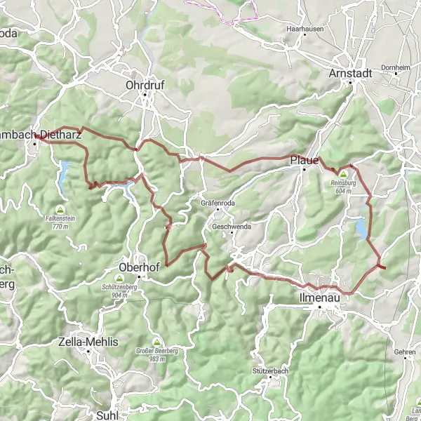
For experienced gravel riders seeking a more challenging adventure, this round-trip route near Tambach-Dietharz is perfect. With a total distance of 83 km and an elevation gain of 1876 m, this route will test your climbing and technical skills. You will be rewarded with breathtaking views, rugged terrains, and the satisfaction of conquering high mountain peaks.
gravel
83 km
1876 m
Savage
Route profile
Highlights on the route
0 km
0 km
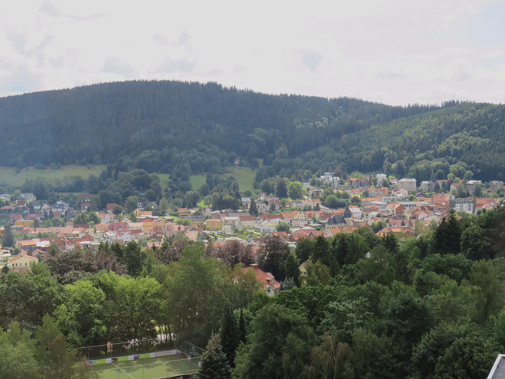
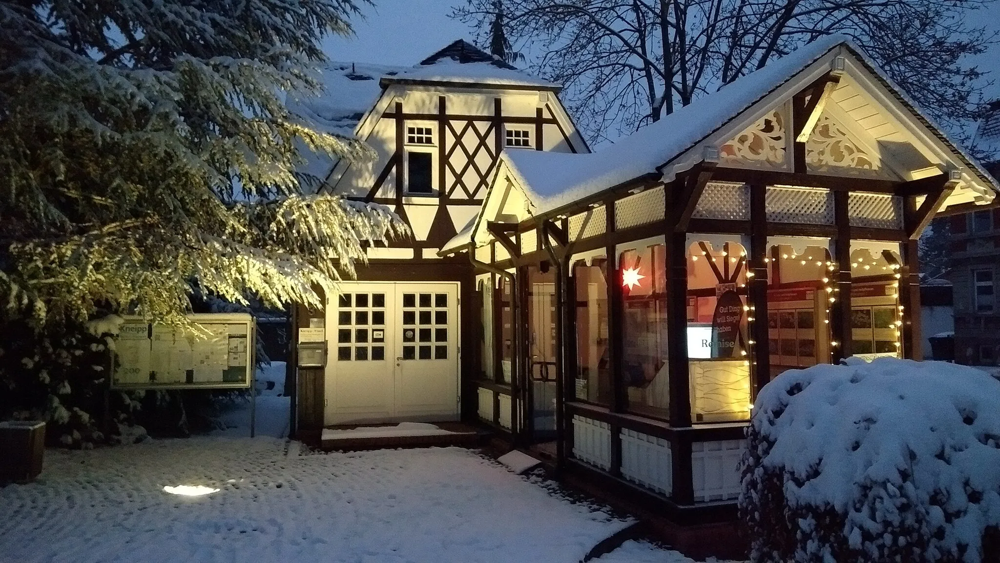
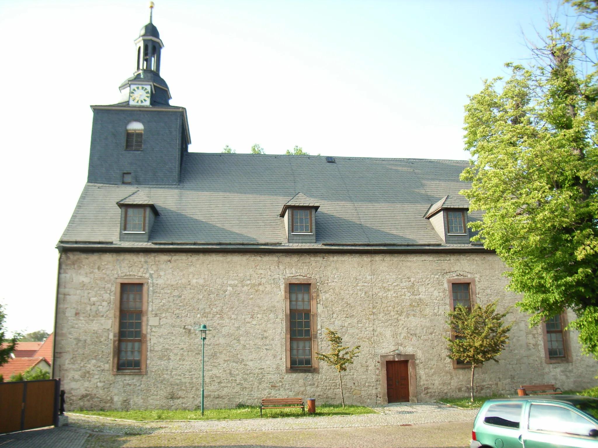
Start: Tambach-Dietharz City centerTambach-Dietharz: Exploring the scenic Thuringian Forest and tackling challenging climbs in Tambach-Dietharz.
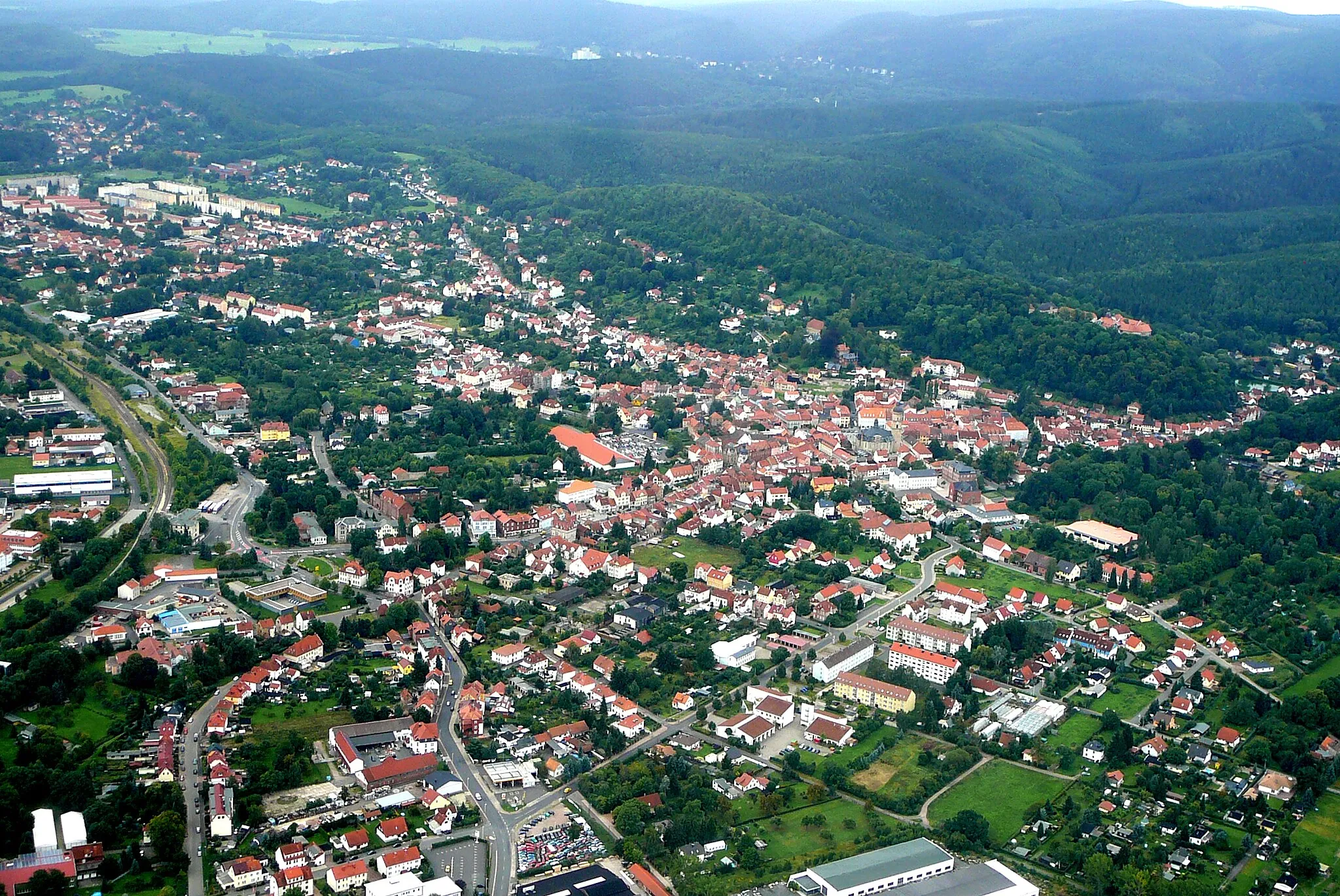
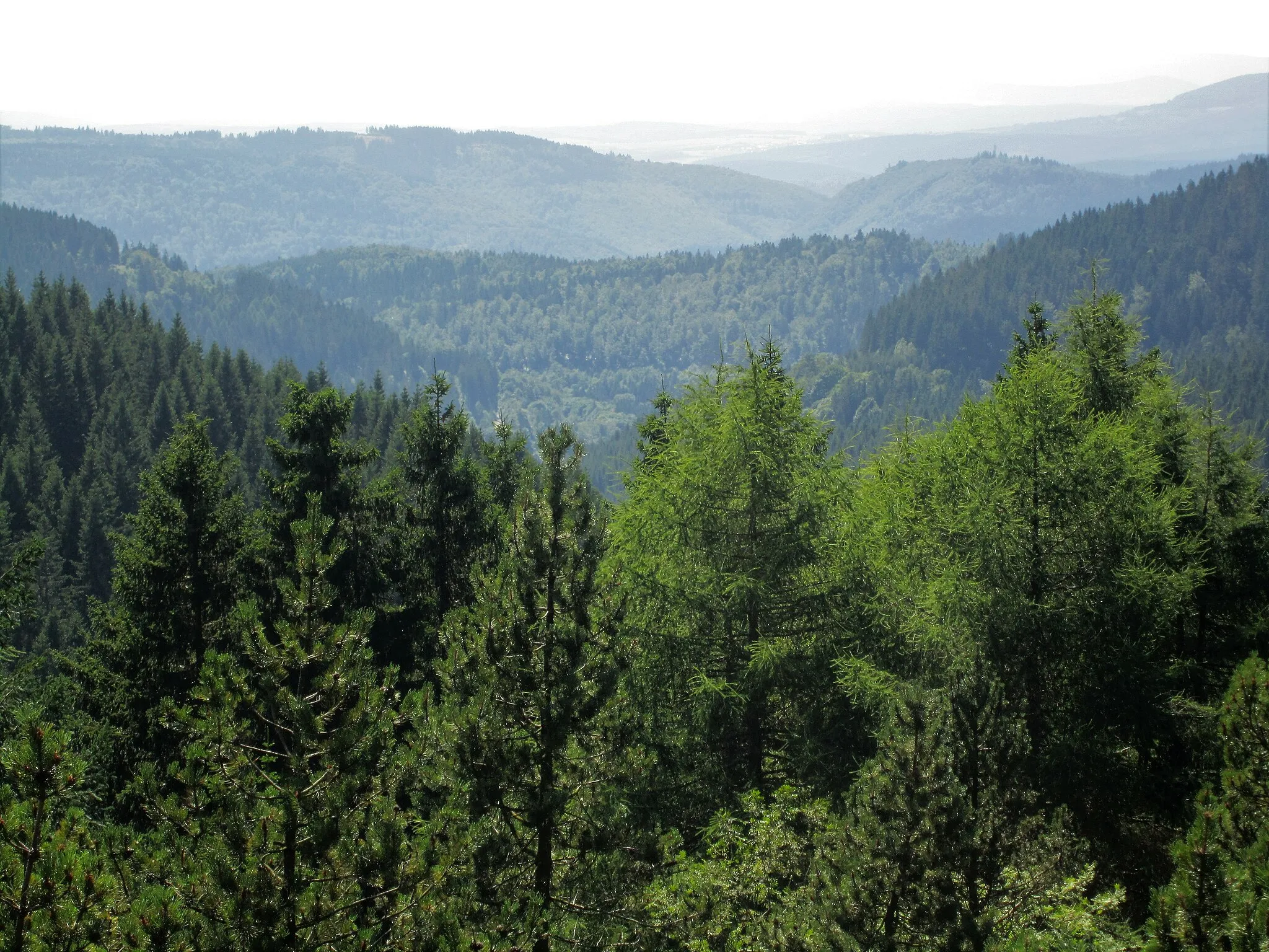
Tambach-Dietharz, located in Thüringen, Germany, offers a beautiful landscape for road and gravel cyclists to explore. The locality provides a mix of challenging terrain with picturesque views. Cyclists can enjoy riding through the Thuringian Forest, which is known for its dense forests, winding roads, and peaceful atmosphere. Tambach-Dietharz also offers various well-maintained cycling routes, providing options for cyclists of different levels of expertise. One of the notable cycling spots nearby is the Rennsteig, a famous long-distance trail that offers breathtaking views and challenging climbs. Overall, Tambach-Dietharz is a great destination for cyclists who enjoy both road and gravel riding.5 km
5 km
Ziegelberg673 mPeakClimb up Ziegelberg and enjoy the panoramic view of the Thuringian Forest from its summit.
9 km
9 km
StutzhausHamletDiscover Stutzhaus, a mountain hut offering shelter and a place to rest while enjoying the magnificent mountain views.
30 km
30 km
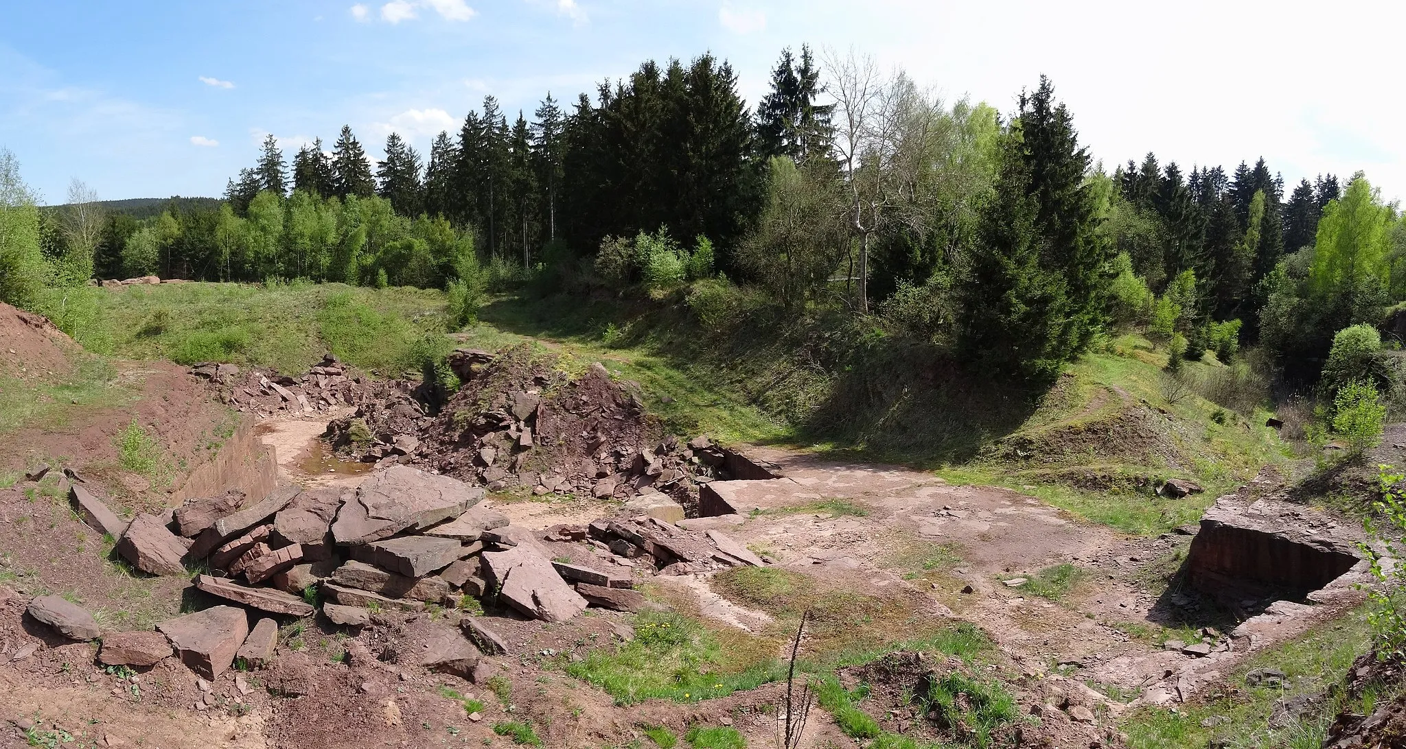
Schnakenhügel431 mPeakCycle through Schnakenhügel and experience the thrilling descents and challenging climbs of this mountainous terrain.
31 km
31 km
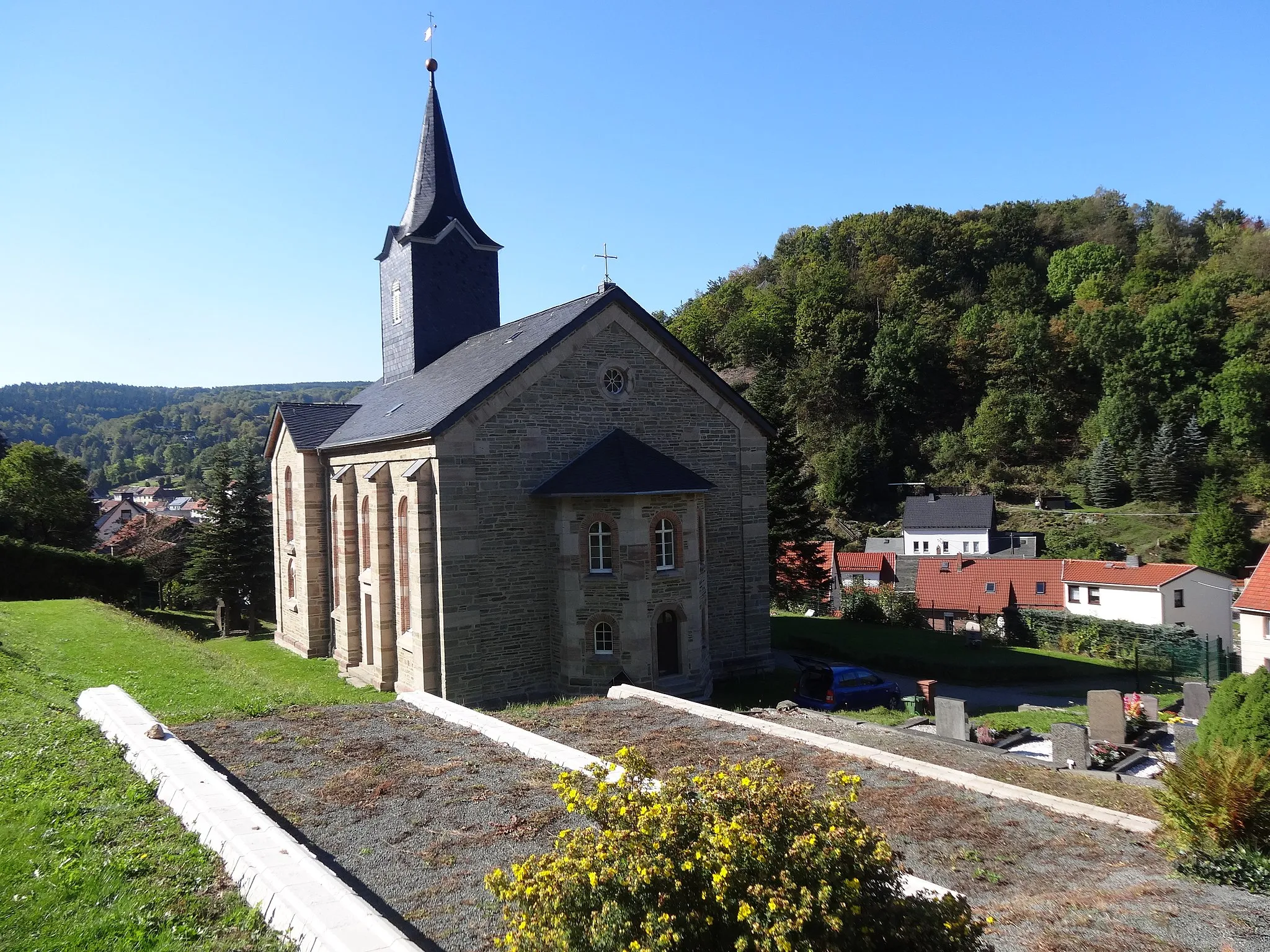
WipfraVillageAdmire the natural beauty of Wipfra, a scenic spot with crystal-clear streams and lush green landscapes.
49 km
49 km
BurgblickViewpointEnjoy the stunning views of Burgblick, a vantage point offering panoramic views of surrounding castles and landscapes.
49 km
49 km
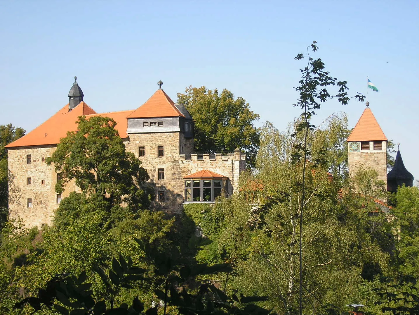
ElgersburgVillageMarvel at Elgersburg, a historical castle perched on a hilltop with a fascinating history and stunning architectural details.
70 km
70 km
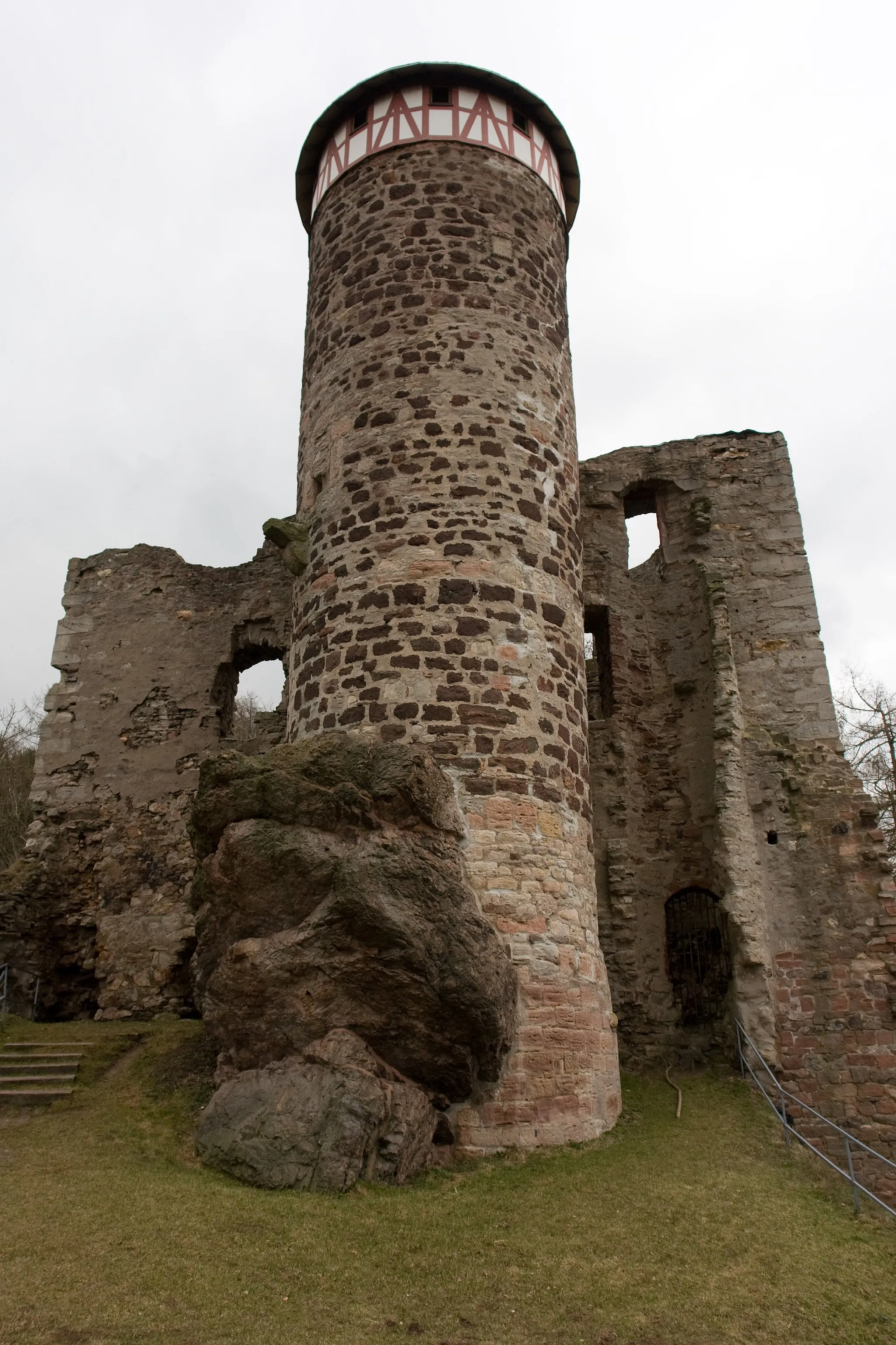
Burg SchwarzwaldCastleDon't miss the opportunity to visit Burg Schwarzwald, a medieval castle known for its unique architecture and scenic beauty.
73 km
73 km
Streitberg699 mPeakChallenge yourself with the steep climb up Streitberg and enjoy the sense of accomplishment at its top.
80 km
80 km
Mittelrain623 mPeakDiscover the beauty of Mittelrain, a peaceful spot with scenic views and lush green landscapes.
81 km
81 km
MarderbachtalAttractionCycle through Marderbachtal and marvel at the untouched natural beauty of this remote valley.
83 km
83 km
Finish: Tambach-Dietharz City centerTambach-Dietharz: Exploring the scenic Thuringian Forest and tackling challenging climbs in Tambach-Dietharz.
Cycling routes nearby: