The Road Quest
A road cycling route starting from Unterwellenborn
A challenging road cycling expedition through captivating landscapes and historic landmarks
Map
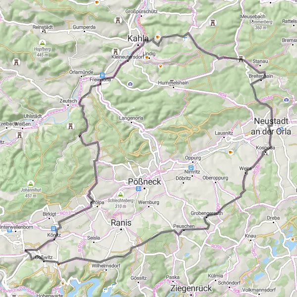
Embark on The Road Quest and take your cycling skills to the next level. This 78-kilometer route will test your endurance with an ascent of 1089 meters. Großkamsdorf greets you with a warm welcome before you continue your journey to enjoy a panoramic view from the Reinhard Seidemann Blick highlight. Discover the historical significance of Spießhuhn and embrace the beauty of Freienorla's picturesque landscapes. Pfaffenberg allows you to catch your breath before venturing into the quaint village of Breitenhain. Daumitsch and Brand offer unique perspectives of the region, while Kalte Schenke highlights the scenic charm of the area.
road
78 km
1089 m
Tough
Route profile
Highlights on the route
0 km
0 km
Start: Großkamsdorf Village centerUnterwellenborn: Cycling Paradise in Thuringia
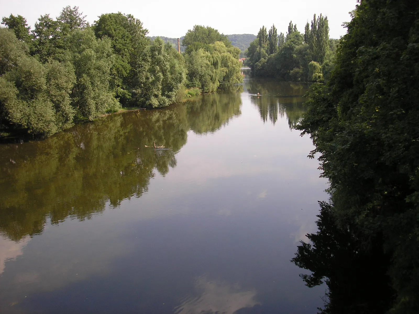
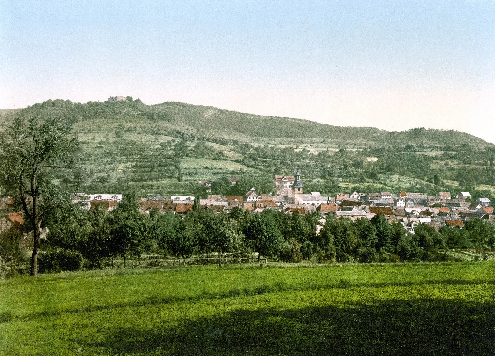
Unterwellenborn is a locality in Germany, located in the region of Thüringen. From a cyclist's perspective, this area offers picturesque countryside routes with rolling hills and charming villages. Thüringen is known for its well-developed cycling infrastructure, making it a popular destination for both road and gravel cyclists. Cyclists can explore the famous Rennsteig cycling path, which stretches across the Thuringian Forest. Overall, Unterwellenborn provides a pleasant cycling experience with its scenic landscapes and well-maintained roads.0 km
0 km
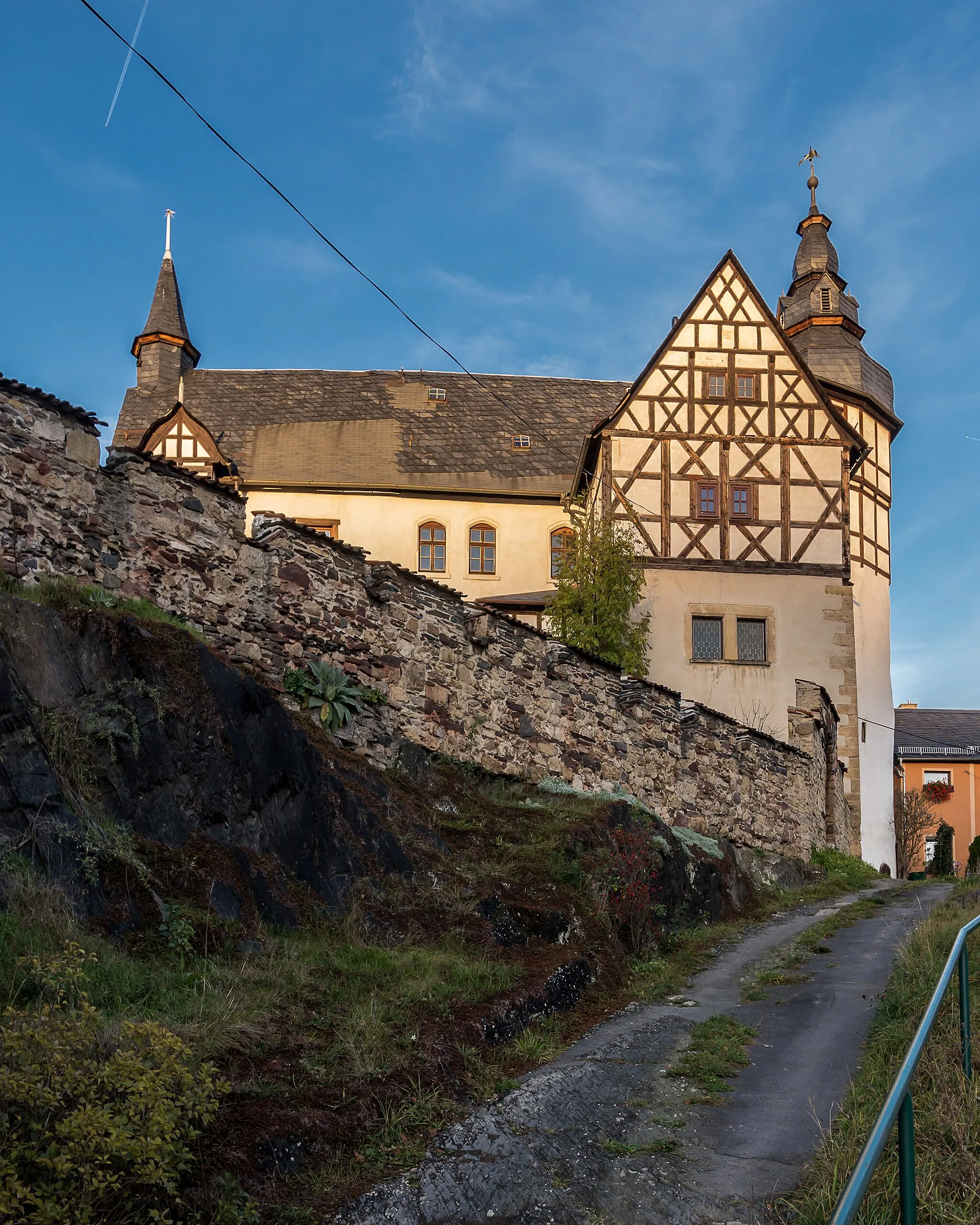
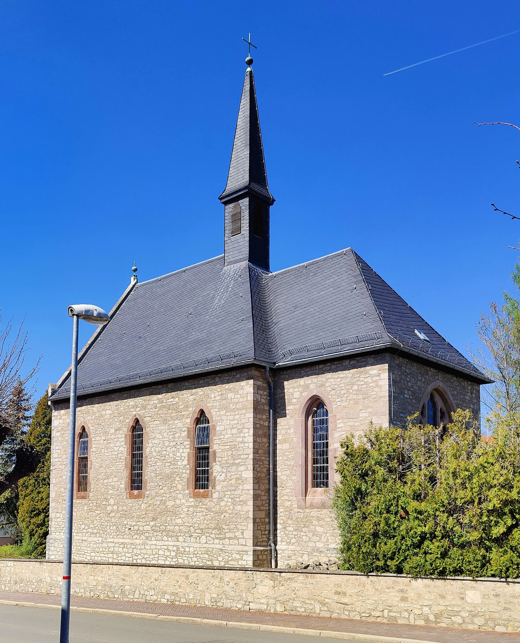
GroßkamsdorfVillageGroßkamsdorf welcomes cyclists with open arms, offering a friendly atmosphere and picturesque surroundings.
2 km
2 km
Reinhard Seidemann BlickViewpointReinhard Seidemann Blick provides a panoramic viewpoint, allowing cyclists to appreciate the beauty of the region.
17 km
17 km
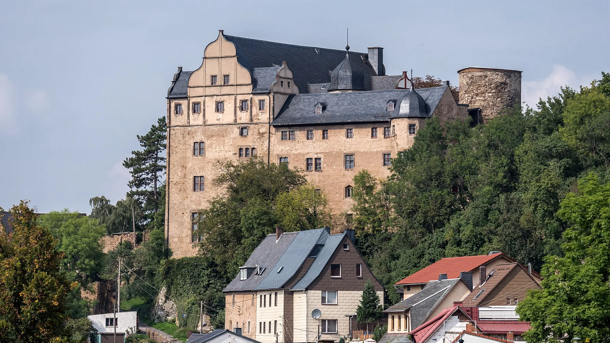
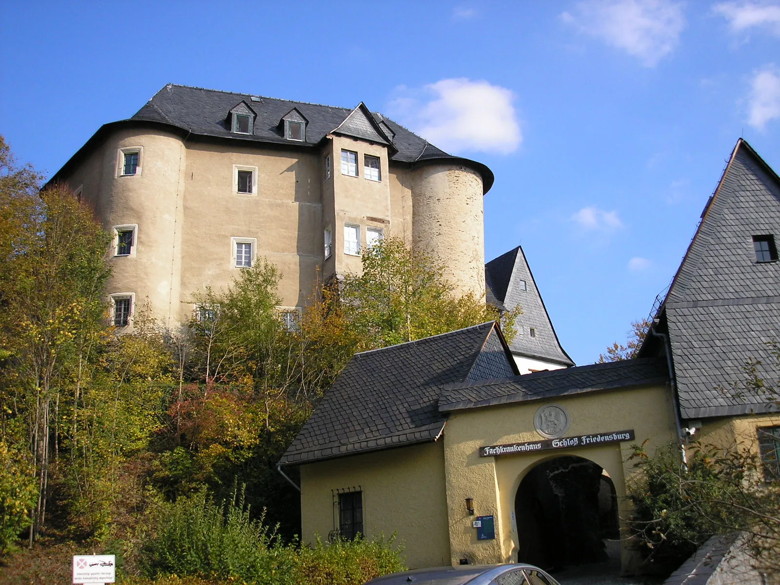
Spießhuhn321 mPeakSpießhuhn offers an opportunity to delve into the region's historical story and appreciate its rich heritage.
22 km
22 km
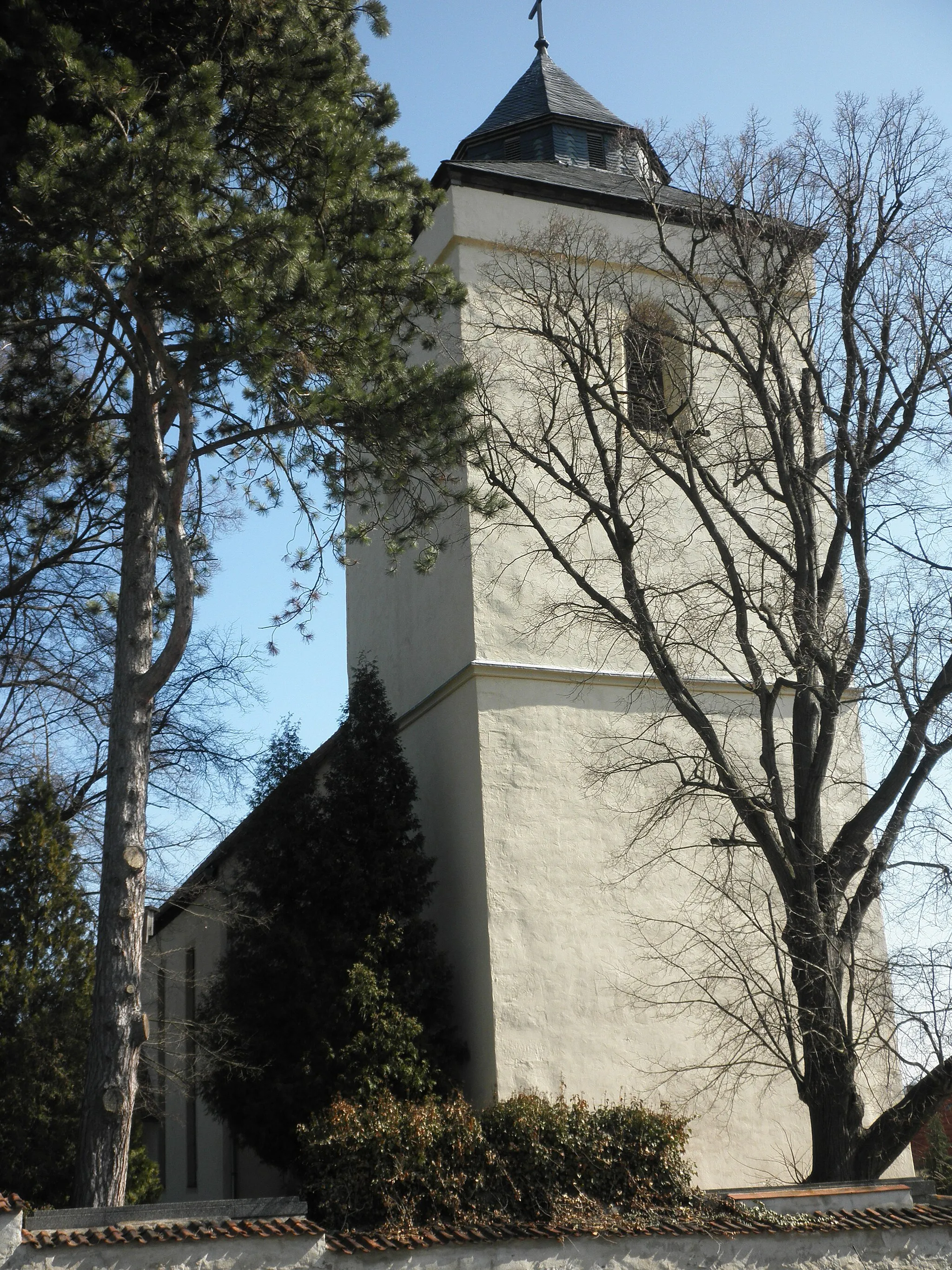
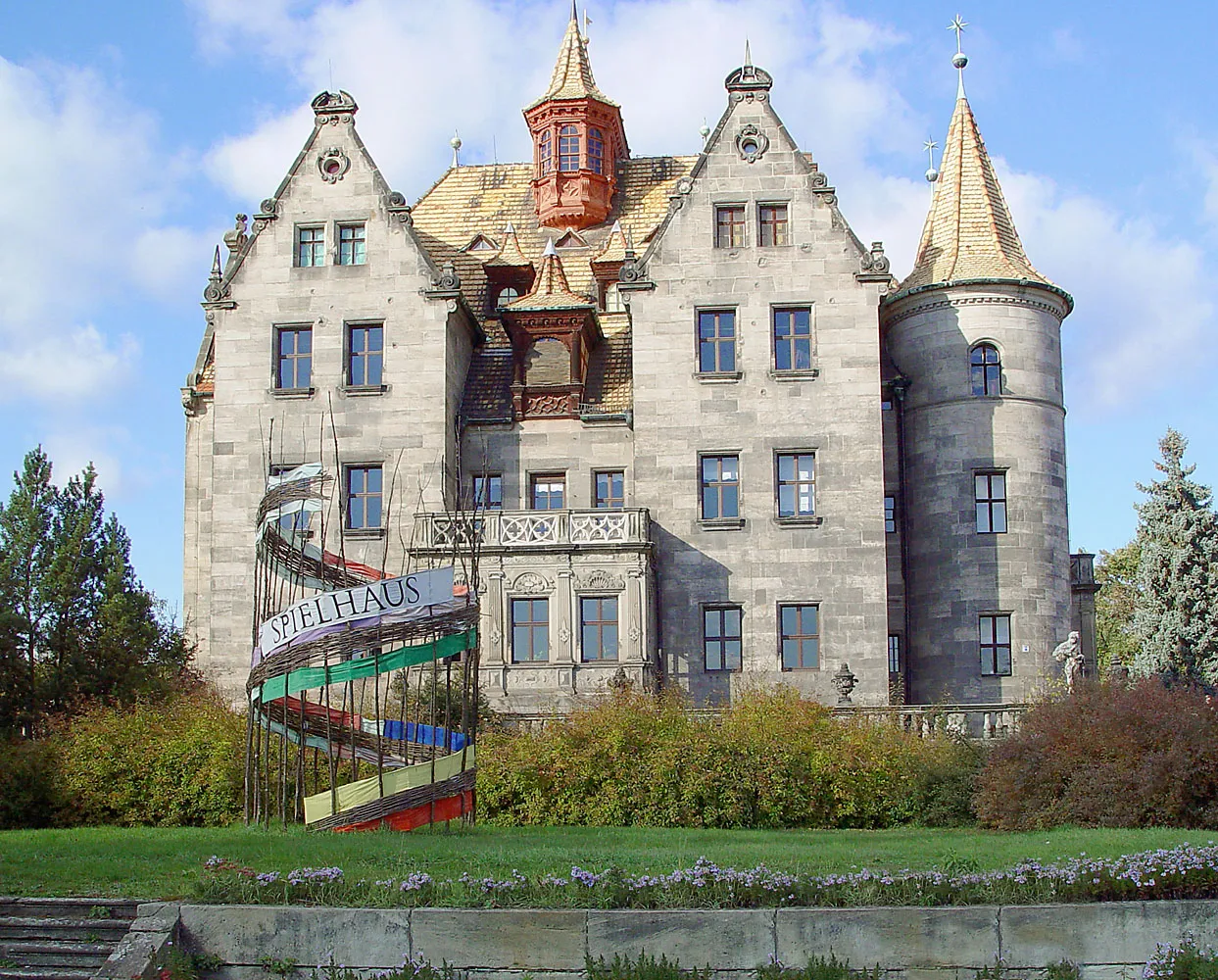
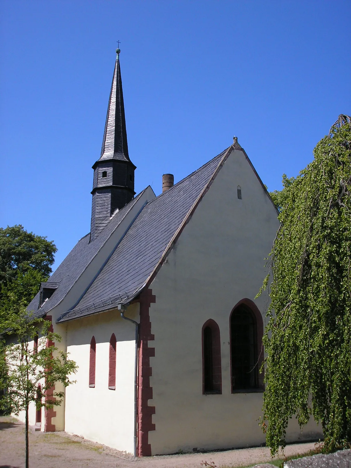
FreienorlaVillageFreienorla's picturesque countryside provides an immersive cycling experience in the heart of nature.
30 km
30 km
Pfaffenberg391 mPeakPfaffenberg allows cyclists to catch their breath and absorb the tranquil natural surroundings before continuing on their journey.
42 km
42 km
BreitenhainVillageBreitenhain's charming village is nestled amidst scenic landscapes, captivating cyclists with its rustic beauty.
58 km
58 km
DaumitschVillageDaumitsch offers brilliant views that showcase Thüringen's varied topography for cyclists to feast their eyes on.
69 km
69 km
Brand516 mPeakBrand presents cyclists with a unique perspective of the region, immersing them in its scenic charm.
72 km
72 km
Kalte SchenkeVillageKalte Schenke epitomizes the beauty of the area and allows cyclists to dive into a serene and peaceful atmosphere.
78 km
78 km
Finish: Großkamsdorf Village centerUnterwellenborn: Cycling Paradise in Thuringia
Cycling routes nearby: