The Legendary Climbing Challenge
A road cycling route starting from Unterwellenborn
Conquer legendary climbs and marvel at captivating scenery on this epic road cycling route
Map
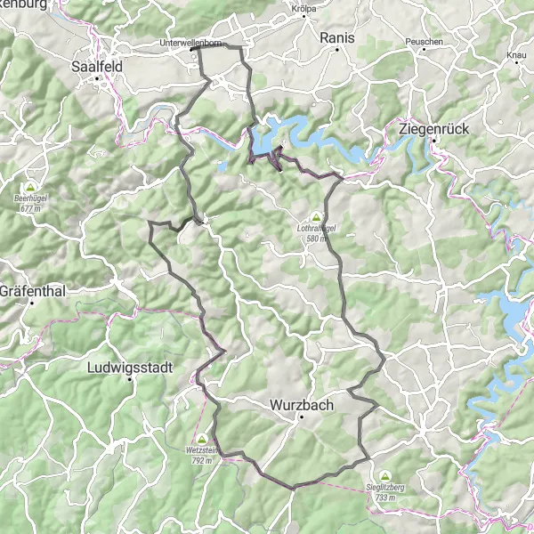
Prepare for the ultimate road cycling challenge on The Legendary Climbing Challenge. This 90-kilometer route boasts an impressive ascent of 1800 meters, making it ideal for experienced cyclists seeking a thrilling adventure. Könitz welcomes you with its historical charm, while Galgenberg rewards you with panoramic vistas of the surrounding landscapes. Lothra showcases the region's picturesque countryside, while Espig is a tranquil spot perfect for reflection. As you continue, the Hornsgrün and Kirchhügel highlights present stunning viewpoints that will take your breath away. Großgeschwenda and Katzenhügel offer unique perspectives on the landscape, while Löhmberg and Großkamsdorf mark the end of an unforgettable journey.
road
90 km
1800 m
Savage
Route profile
Highlights on the route
0 km
0 km
Start: Unterwellenborn Village centerUnterwellenborn: Cycling Paradise in Thuringia
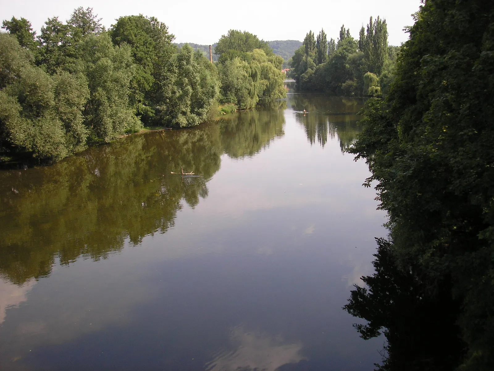
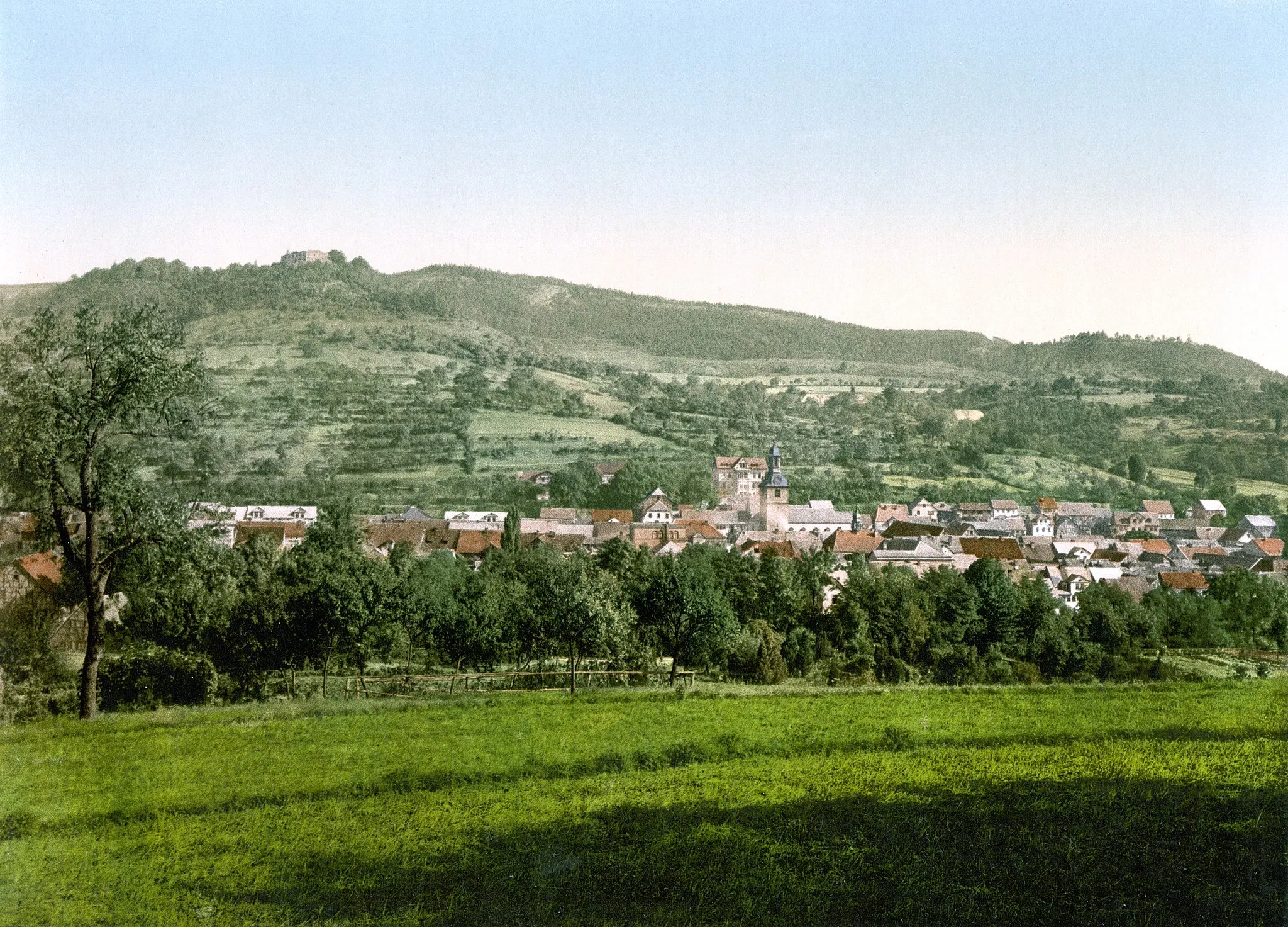
Unterwellenborn is a locality in Germany, located in the region of Thüringen. From a cyclist's perspective, this area offers picturesque countryside routes with rolling hills and charming villages. Thüringen is known for its well-developed cycling infrastructure, making it a popular destination for both road and gravel cyclists. Cyclists can explore the famous Rennsteig cycling path, which stretches across the Thuringian Forest. Overall, Unterwellenborn provides a pleasant cycling experience with its scenic landscapes and well-maintained roads.4 km
4 km
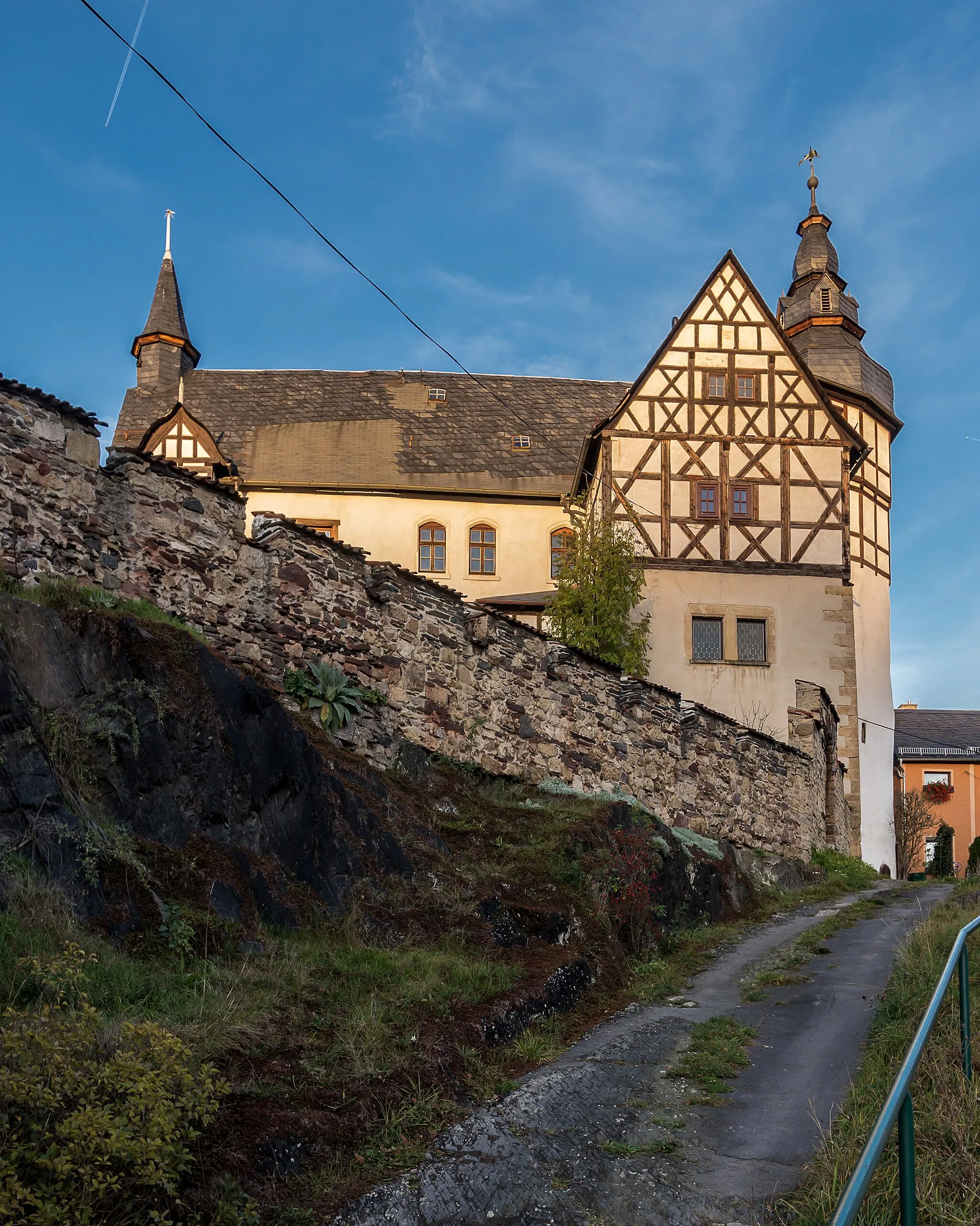
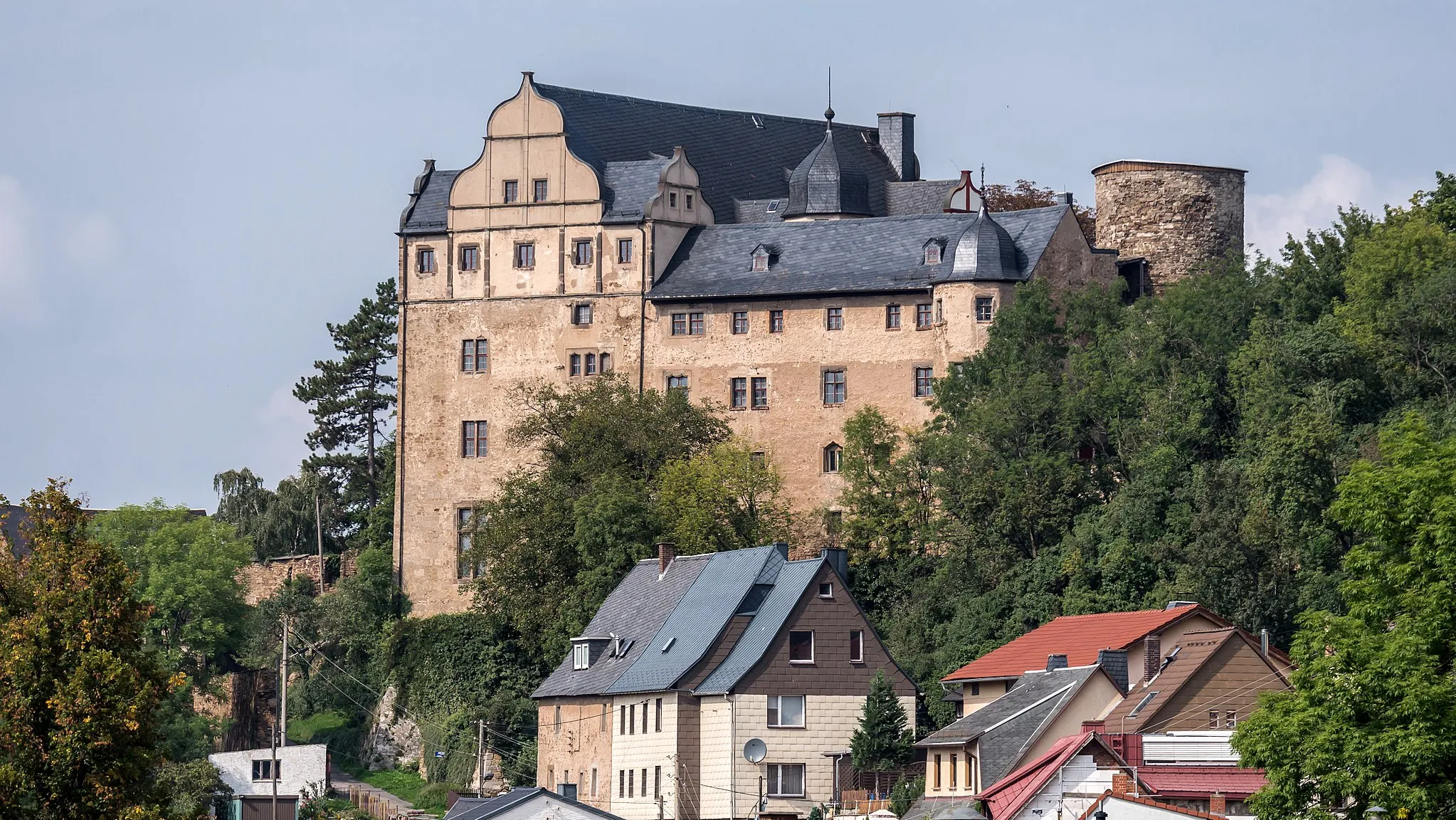
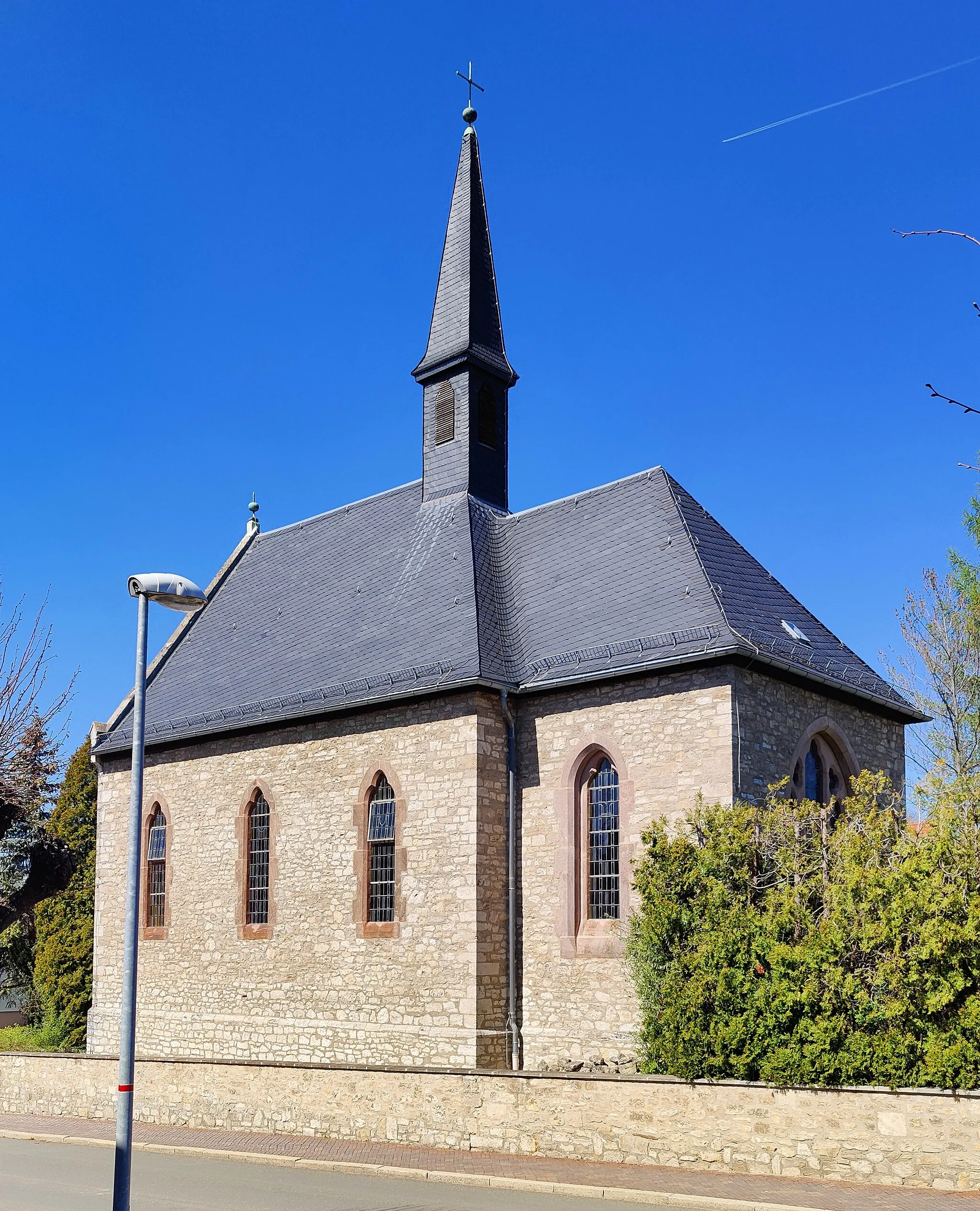
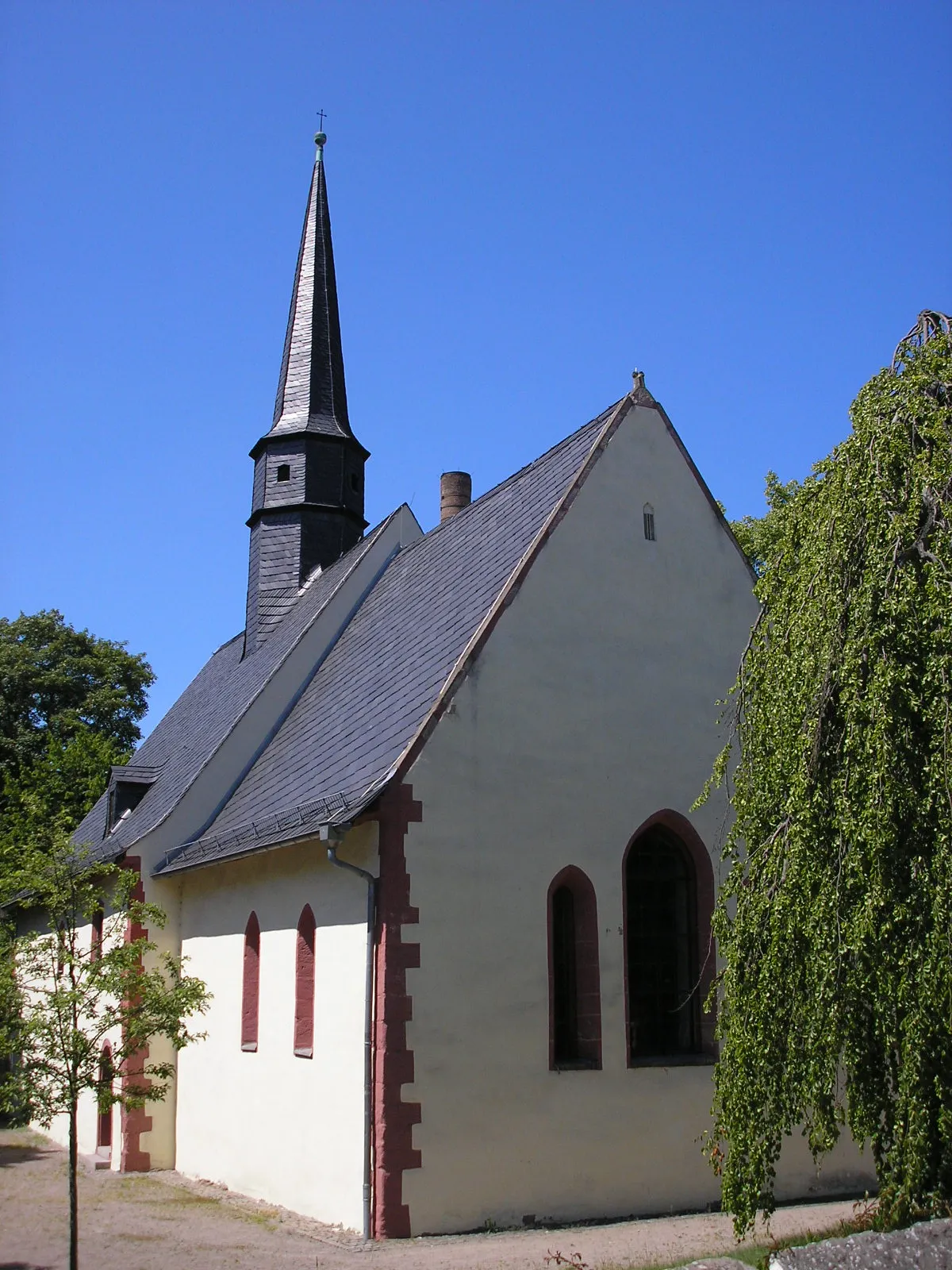
KönitzVillageKönitz's historical significance and architectural heritage make it an ideal place for cyclists to soak in the region's rich history.
17 km
17 km
Galgenberg509 mPeakGalgenberg provides cyclists with panoramic vistas, allowing them to revel in the breathtaking beauty of the surrounding landscapes.
24 km
24 km
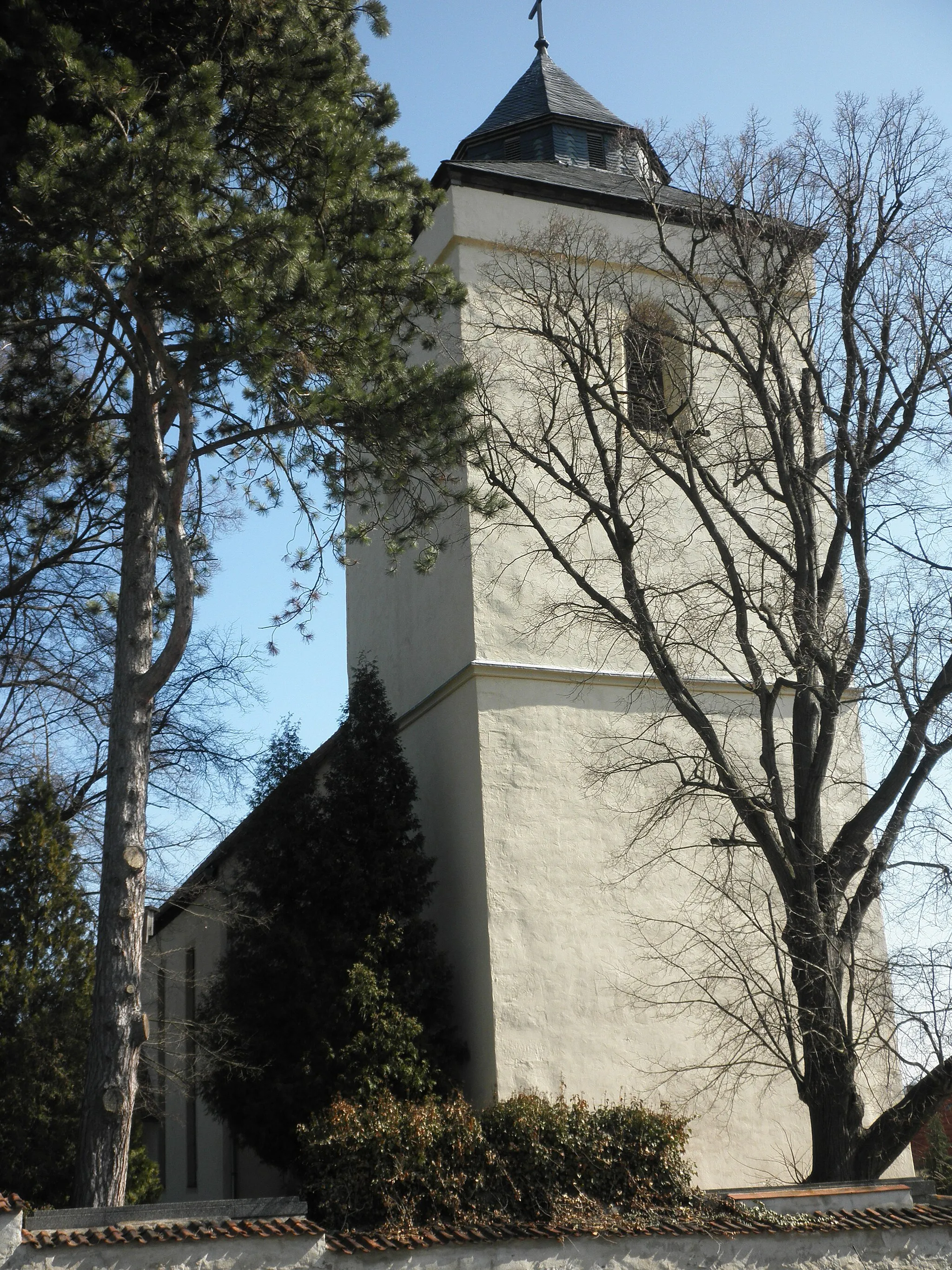
LothraVillageLothra's picturesque countryside offers postcard-perfect views that will leave cyclists in awe of Thüringen's natural splendor.
29 km
29 km
Espig633 mPeakEspig's tranquil atmosphere and scenic surroundings provide a serene spot for cyclists to reflect and rejuvenate.
45 km
45 km
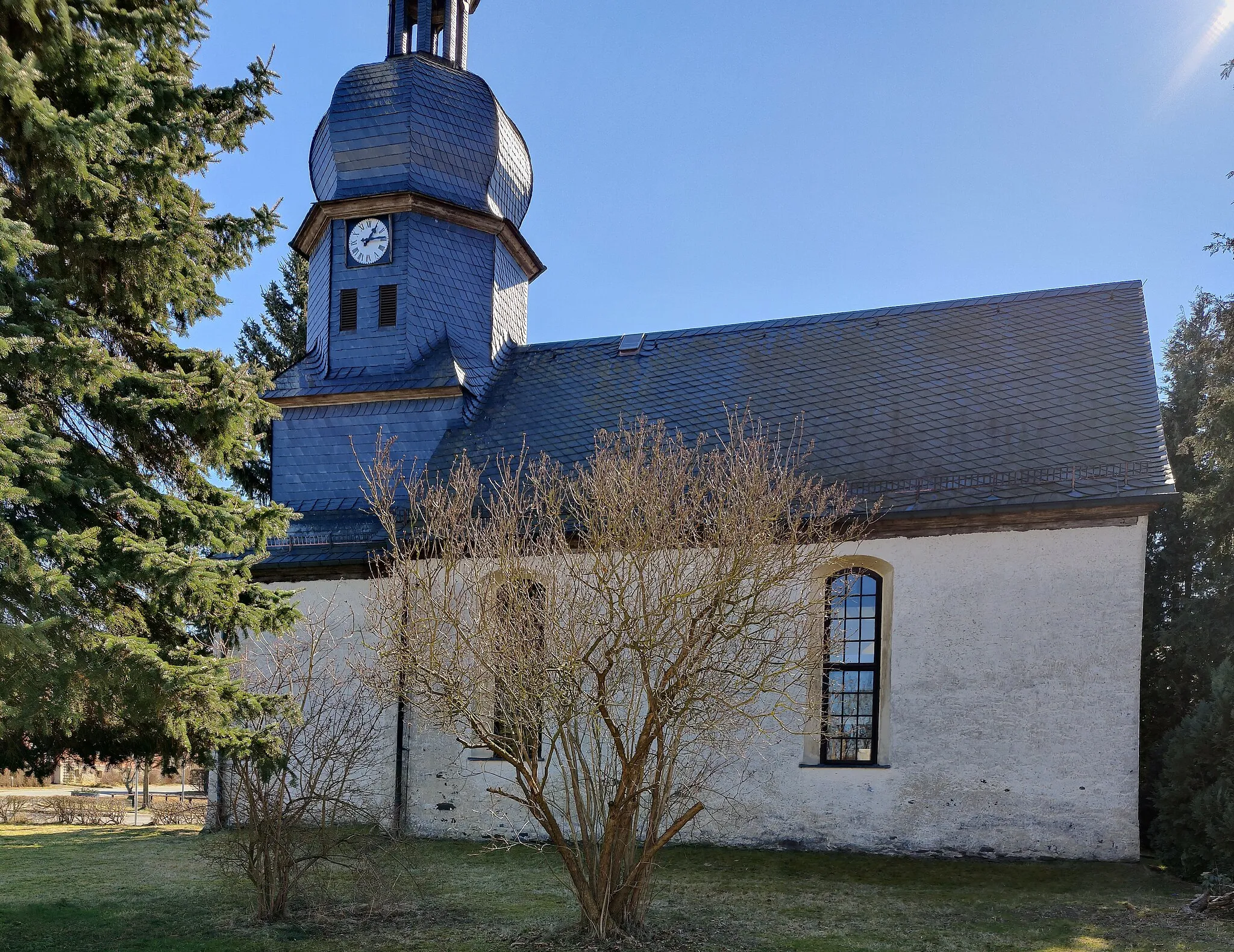
HornsgrünHamletHornsgrün enchants cyclists with its sweeping viewpoints and awe-inspiring scenery, making it a not-to-be-missed highlight.
47 km
47 km
Kirchhügel688 mPeakKirchhügel provides a captivating viewpoint that showcases the region's incredible landscapes, creating an unforgettable cycling experience.
69 km
69 km
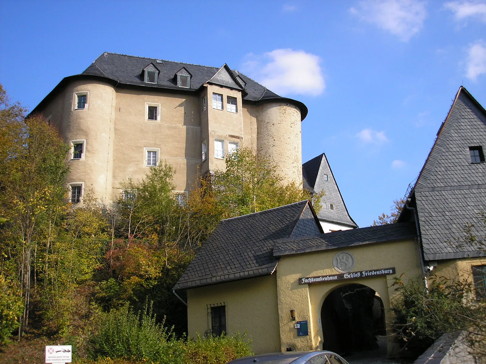
GroßgeschwendaVillageGroßgeschwenda's awe-inspiring scenery lets cyclists immerse themselves in the grandeur of the surrounding natural beauty.
70 km
70 km
Katzenhügel586 mPeakKatzenhügel offers cyclists a unique perspective on the region's landscape, unveiling hidden gems along the route.
78 km
78 km
Löhmberg501 mPeakLöhmberg treats cyclists to bucolic scenery and panoramic vistas, providing the perfect ending to an epic adventure.
88 km
88 km
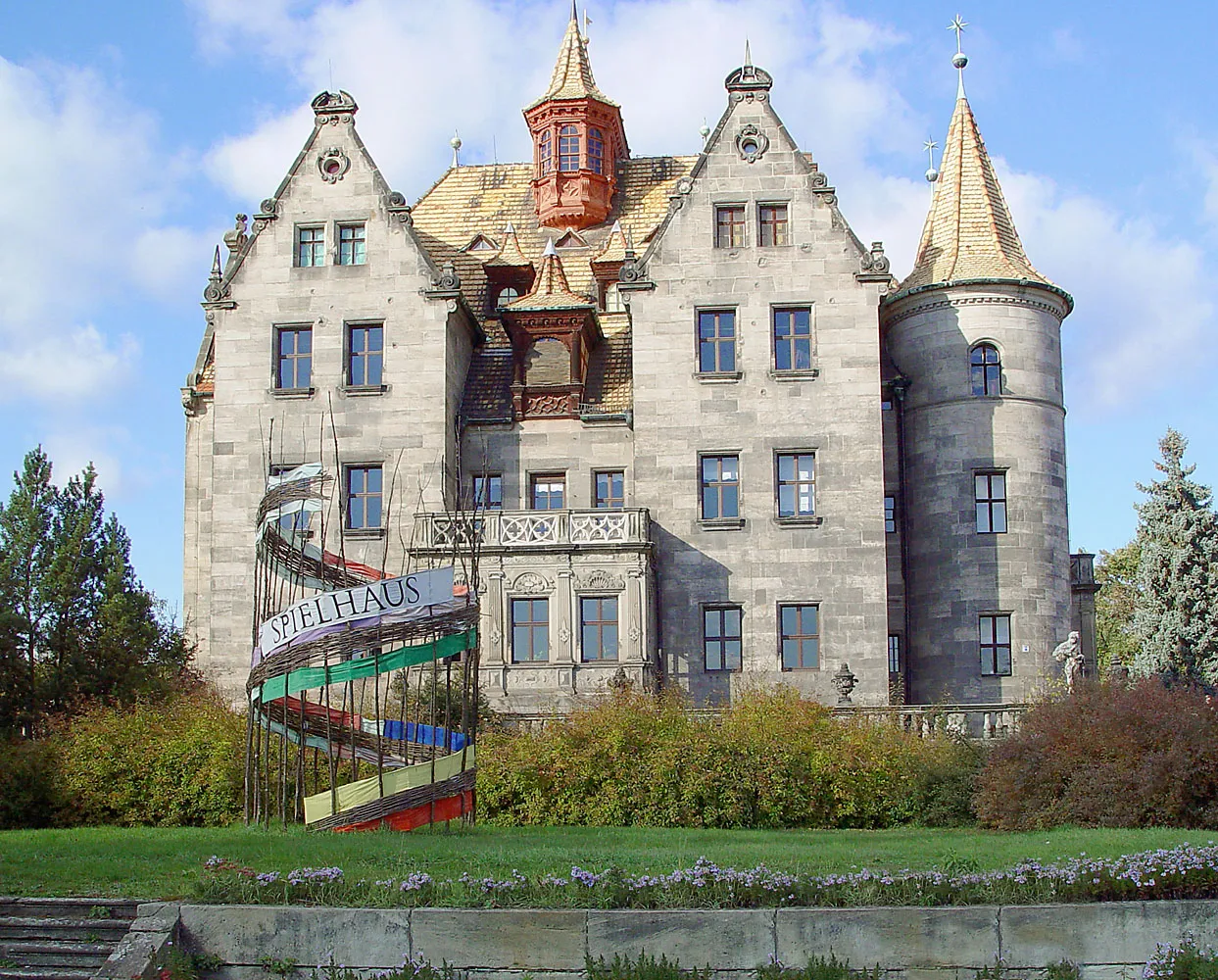
GroßkamsdorfVillageGroßkamsdorf bids farewell as cyclists take in the memories of their extraordinary journey through Thüringen's legendary climbs and captivating scenery.
90 km
90 km
Finish: Unterwellenborn Village centerUnterwellenborn: Cycling Paradise in Thuringia
Cycling routes nearby: