Gravel Adventure
A gravel cycling route starting from Vacha
Embark on a thrilling gravel adventure and discover hidden gems
Map
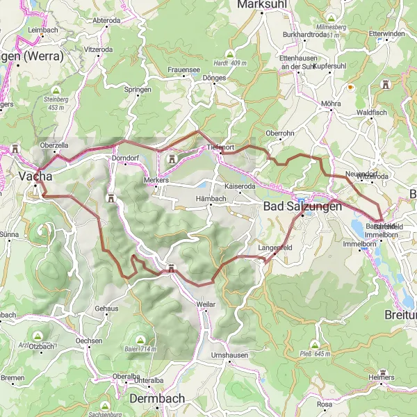
The Gravel Adventure is a thrilling cycling route that combines off-the-beaten-path trails and hidden gems. With a distance of 54 kilometers and an ascent of 885 meters, it offers a challenging ride for gravel enthusiasts. Starting in Vacha, the route takes you through scenic landscapes and picturesque villages, showcasing the beauty of Thuringia. Along the way, you'll encounter several highlights that add to the overall appeal of the adventure. Overall, this route offers a unique and exciting cycling experience for those looking to explore lesser-known paths and immerse themselves in the natural beauty of the region.
gravel
54 km
885 m
Tough
Route profile
Highlights on the route
0 km
0 km
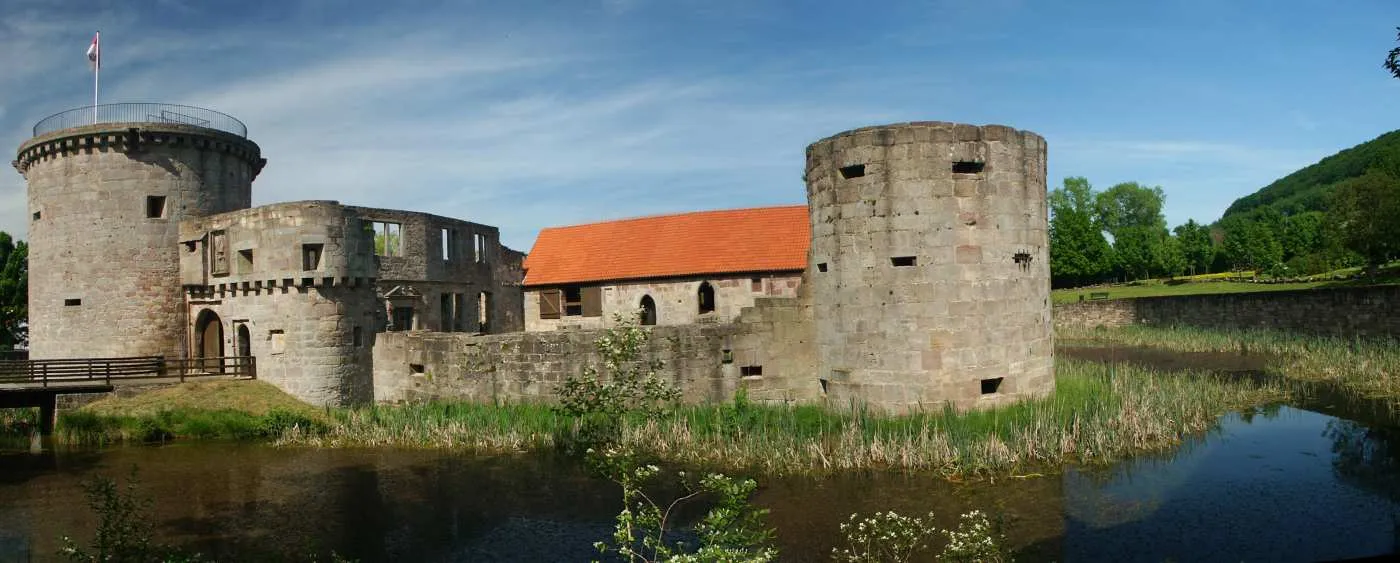
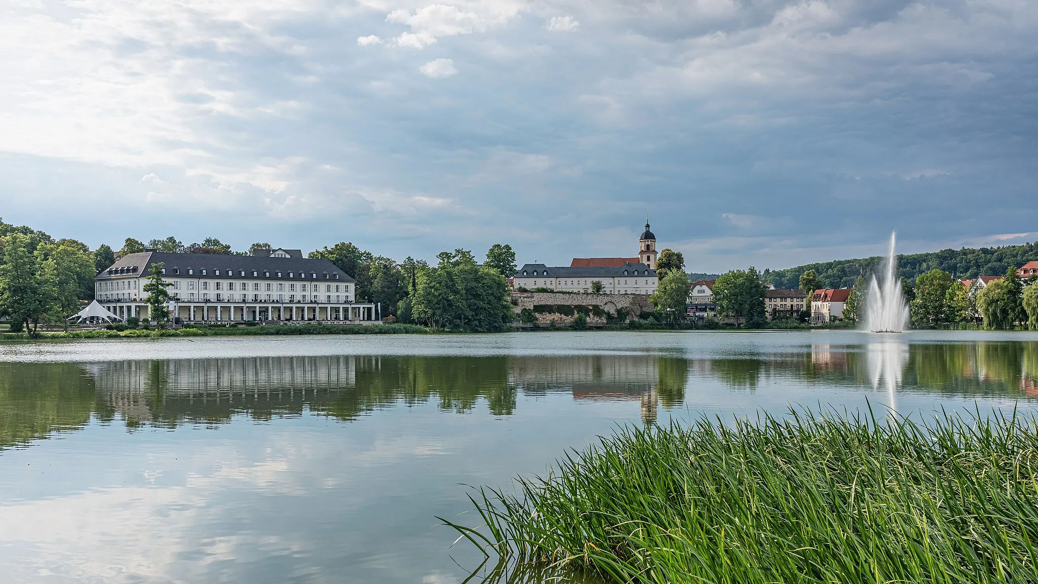
Start: Vacha City centerVacha: Cycling paradise in the heart of Thüringen
Vacha is a small town located in Thüringen, Germany. From a cyclist's perspective, Vacha offers beautiful scenic routes that are suitable for road and gravel cycling. The surrounding countryside is filled with rolling hills and picturesque landscapes, providing cyclists with a variety of terrain to explore. One of the highlights for cyclists in this area is the Werratal-Radweg, a popular cycling route that follows the course of the Werra River and offers stunning views along the way. With its cycling-friendly atmosphere and abundant natural beauty, Vacha is a great destination for cyclists of all levels.0 km
0 km
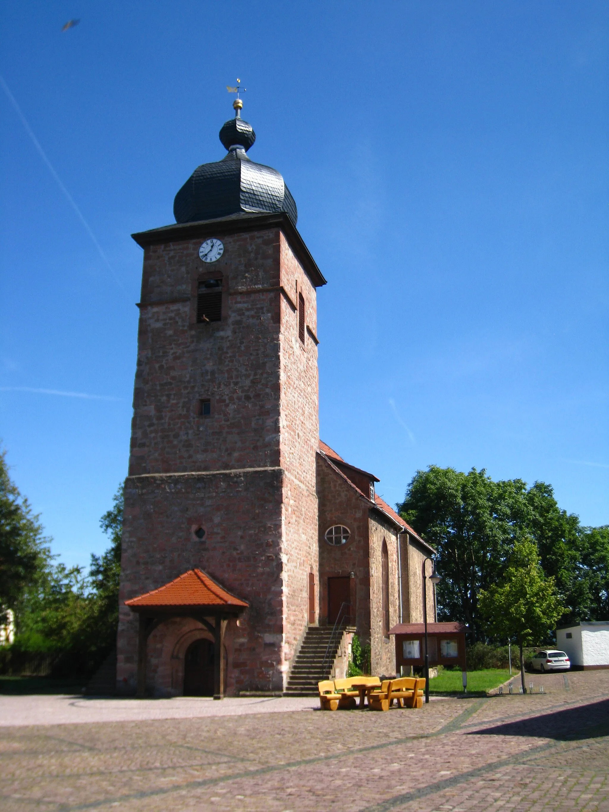
VachaTownVacha, located at the starting point, is a picturesque town with a charming historical center. Take a moment to explore its narrow streets and well-preserved buildings before starting your gravel adventure.
14 km
14 km
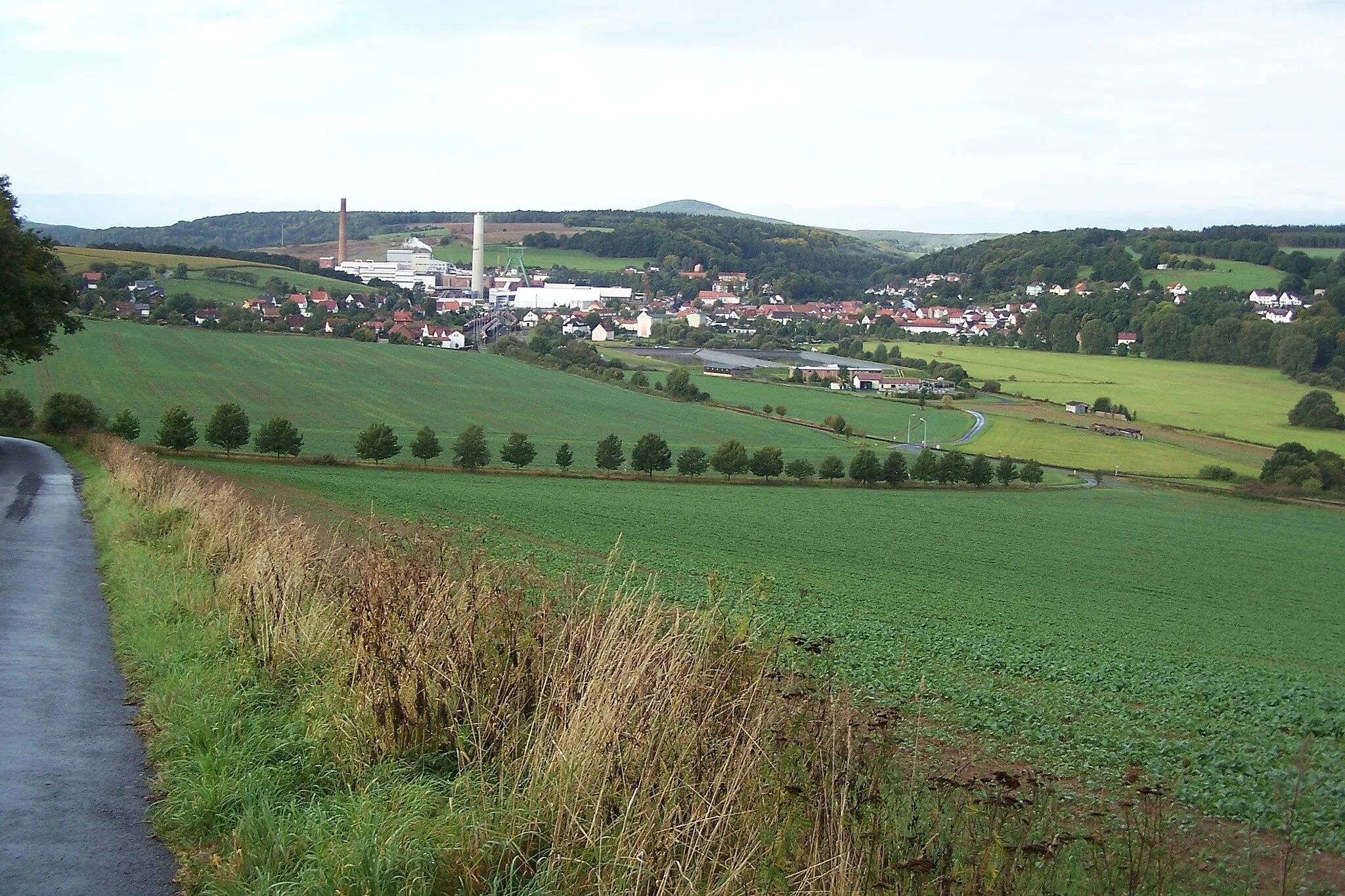
Kahler Berg338 mPeakKahler Berg, found at the 14-kilometer mark, offers stunning panoramic views of the surrounding countryside. It's a perfect spot to take a break and capture memorable photos.
20 km
20 km
Hohleberg367 mPeakHohleberg, located at the 20-kilometer mark, is a hill known for its unique geological features and scenic panoramas. Take in the beauty of the landscape before continuing your gravel adventure.
29 km
29 km
Bad SalzungenTownBad Salzungen, found at the 29-kilometer mark, is a charming spa town famous for its saltworks and health resorts. Stop by to explore its historical sites and indulge in a relaxing break.
35 km
35 km
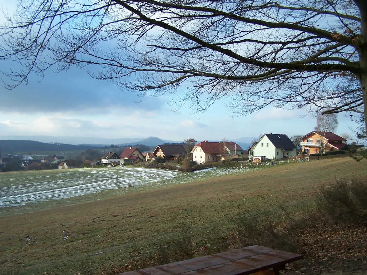
HohlebornVillageHohleborn, located at the 35-kilometer mark, is a nature reserve with stunning limestone formations and vibrant flora. Take your time to admire its unique natural beauty.
38 km
38 km
Stephanskopf312 mPeakStephanskopf, found at the 38-kilometer mark, is a hill that offers breathtaking panoramic views of the surrounding countryside. It's an ideal spot to appreciate the rural allure of the region.
49 km
49 km
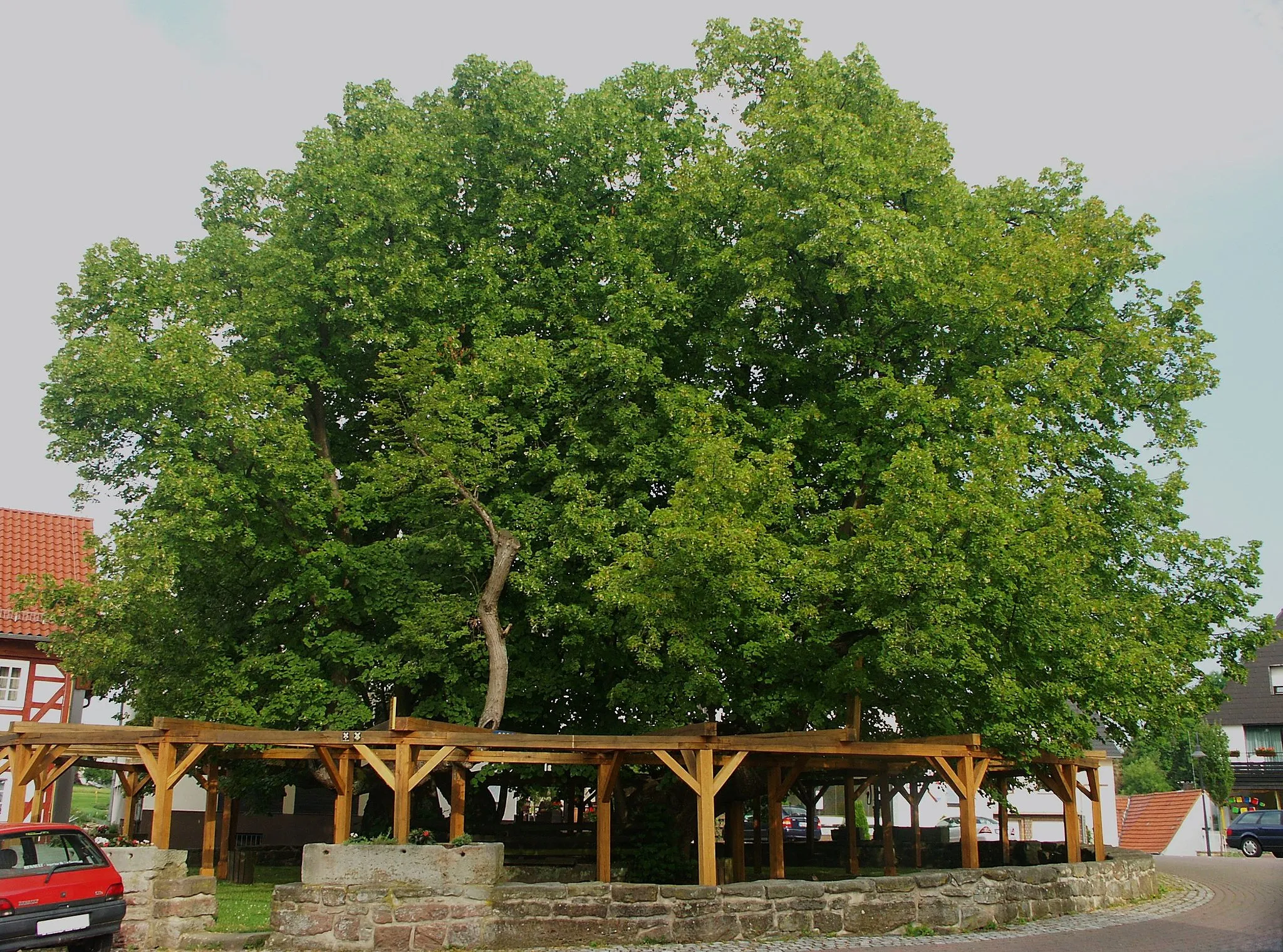
Riesenberg378 mPeakRiesenberg, located at the 49-kilometer mark, is a forested hill known for its tranquil ambiance. Enjoy the serene landscapes as you traverse this picturesque section of the route.
51 km
51 km
BusengrabenHamletBusengraben, found at the 51-kilometer mark, is a scenic stream that meanders through idyllic meadows. Take a moment to enjoy the peacefulness of this natural oasis.
54 km
54 km
Finish: Vacha City centerVacha: Cycling paradise in the heart of Thüringen
Cycling routes nearby: