Historical Discovery
A road cycling route starting from Vacha
Embark on a historical discovery and explore architectural marvels
Map
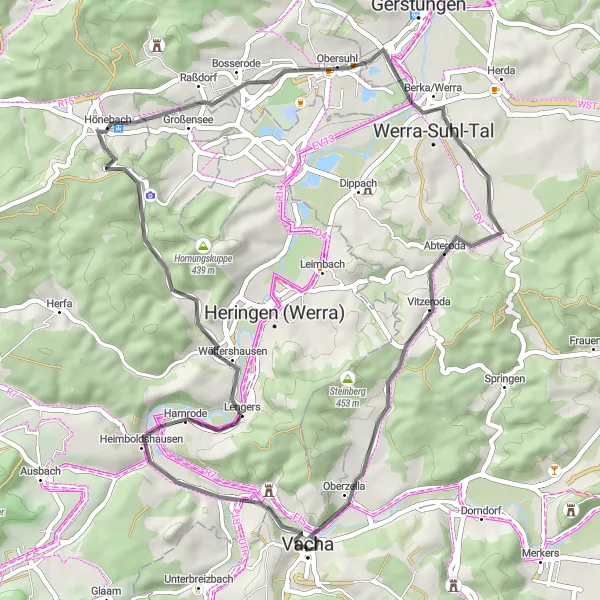
The Historical Discovery route is a fascinating cycling journey that takes you through a variety of historical sites and architectural marvels. With a distance of 50 kilometers and a manageable ascent of 494 meters, it offers a perfect balance between exploration and leisure. Starting in Vacha, you'll pedal through scenic landscapes and encounter several highlights that capture the rich heritage of Thuringia. From memorial sites to ancient castles, this route immerses you in history while showcasing the natural beauty of the region. Overall, the Historical Discovery route provides an enriching experience for history enthusiasts and architecture lovers alike.
road
50 km
494 m
Chill
Route profile
Highlights on the route
0 km
0 km
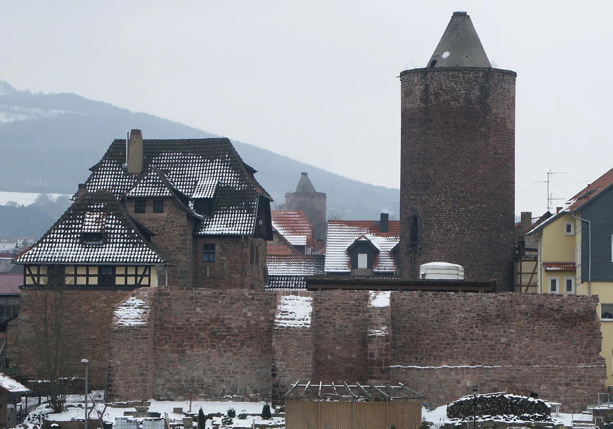
Start: Vacha City centerVacha: Cycling paradise in the heart of Thüringen
Vacha is a small town located in Thüringen, Germany. From a cyclist's perspective, Vacha offers beautiful scenic routes that are suitable for road and gravel cycling. The surrounding countryside is filled with rolling hills and picturesque landscapes, providing cyclists with a variety of terrain to explore. One of the highlights for cyclists in this area is the Werratal-Radweg, a popular cycling route that follows the course of the Werra River and offers stunning views along the way. With its cycling-friendly atmosphere and abundant natural beauty, Vacha is a great destination for cyclists of all levels.18 km
18 km
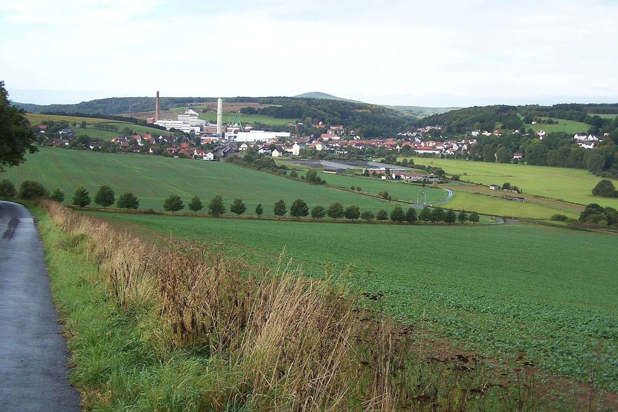
Mahnmal BodesruhViewpointMahnmal Bodesruh, located at the 18-kilometer mark, is a significant memorial honoring local resistance fighters during World War II. Standing atop a hill, it offers panoramic views of the surrounding countryside and serves as a reminder of the region's history.
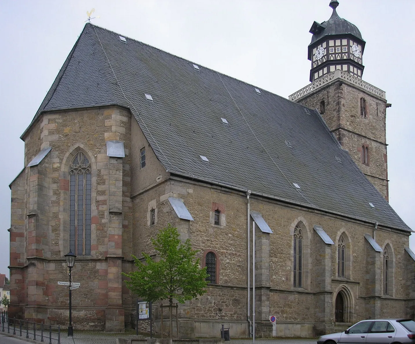
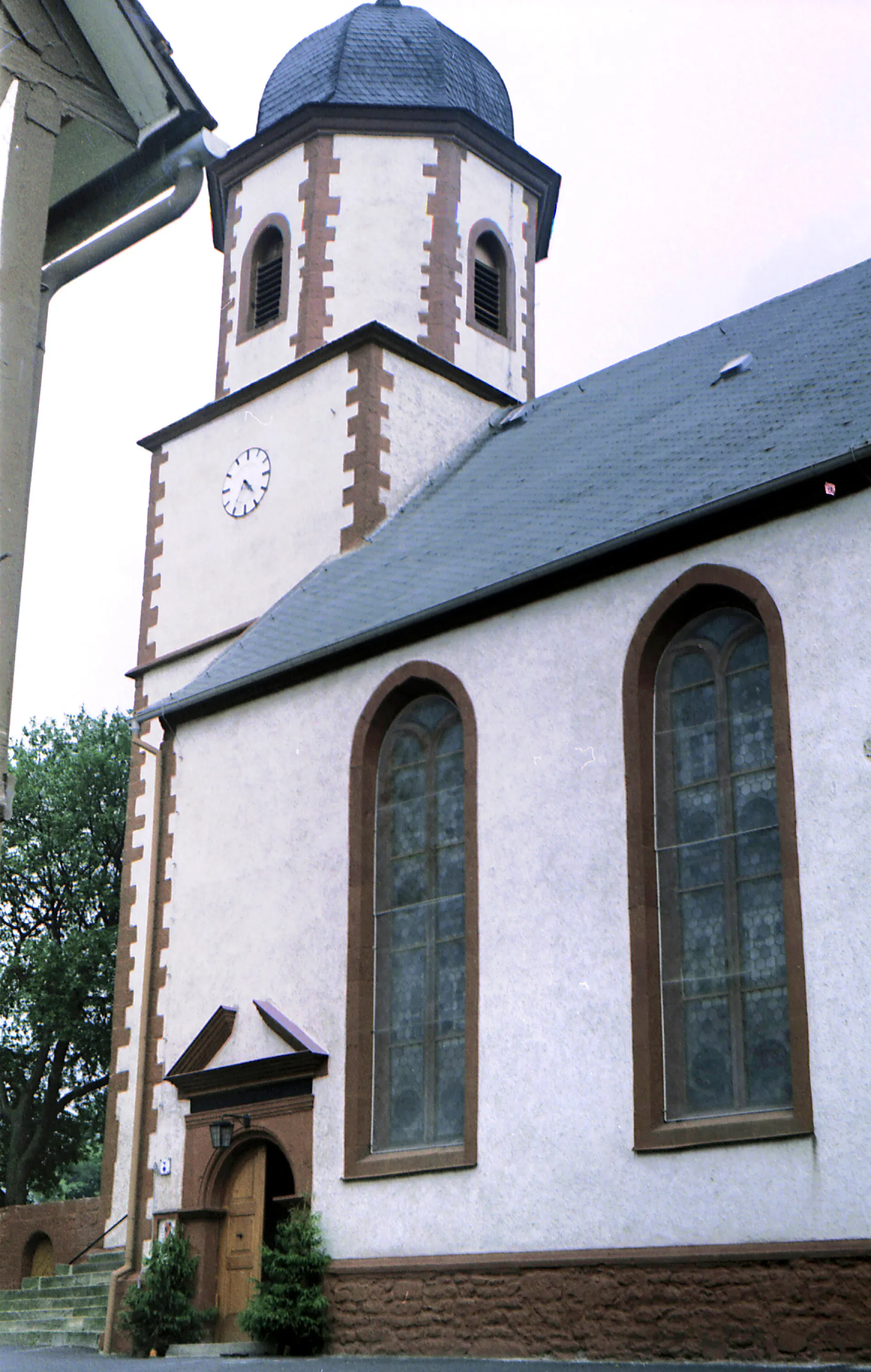
21 km
21 km
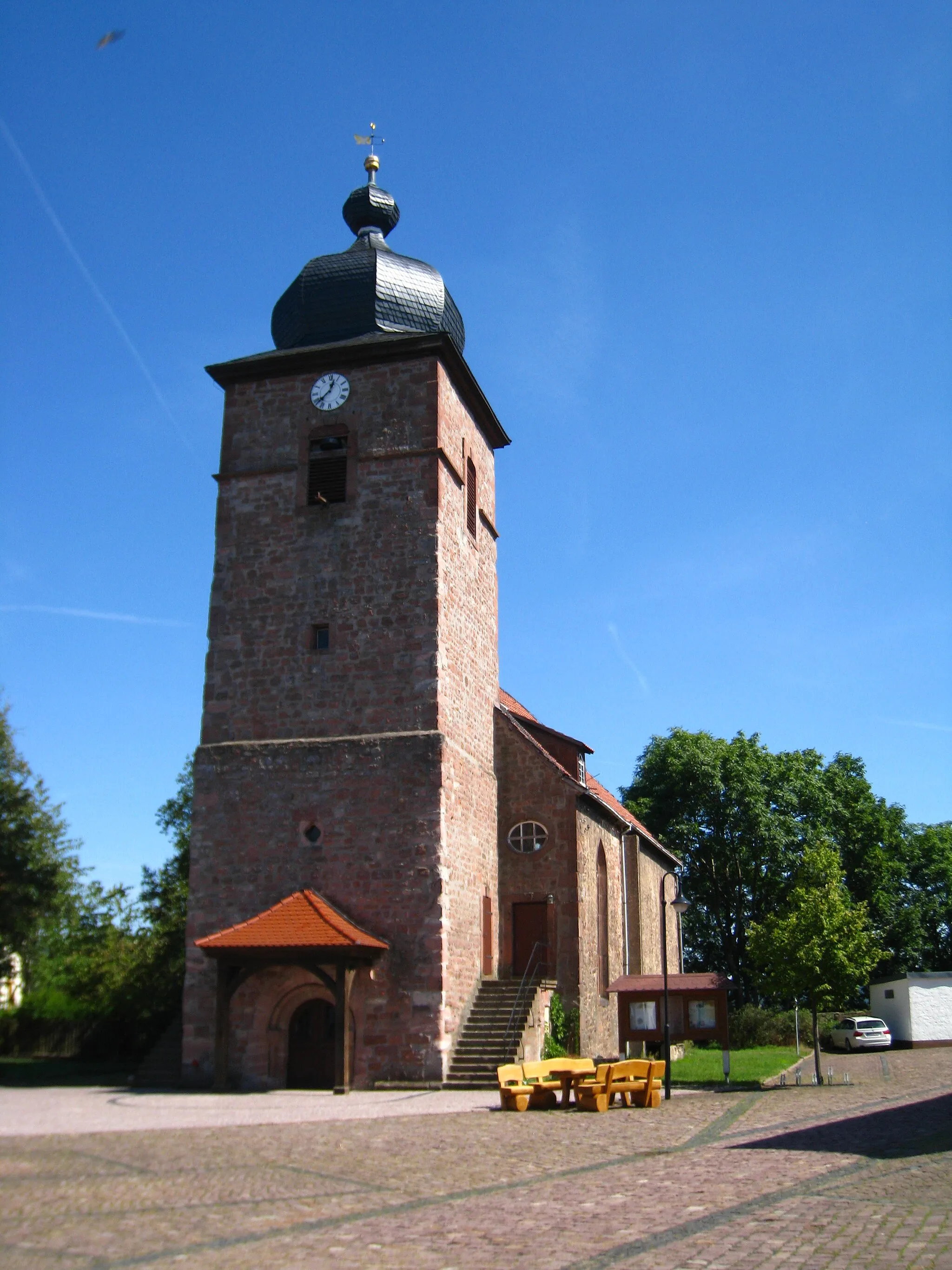
HönebachVillageHönebach, found at the 21-kilometer mark, is a charming village renowned for its well-preserved half-timbered houses. Take a moment to stroll through its narrow streets and soak up the historical ambiance.
37 km
37 km
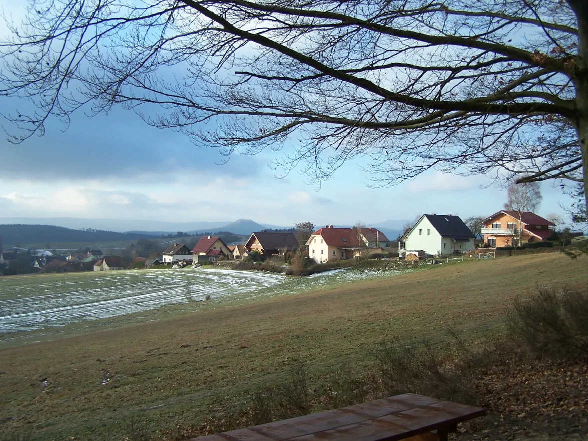
Salzberg306 mPeakSalzberg, located at the 37-kilometer mark, is a picturesque hill known for its salt mining heritage. Explore the remnants of mining activities and enjoy the breathtaking vistas from the hilltop.
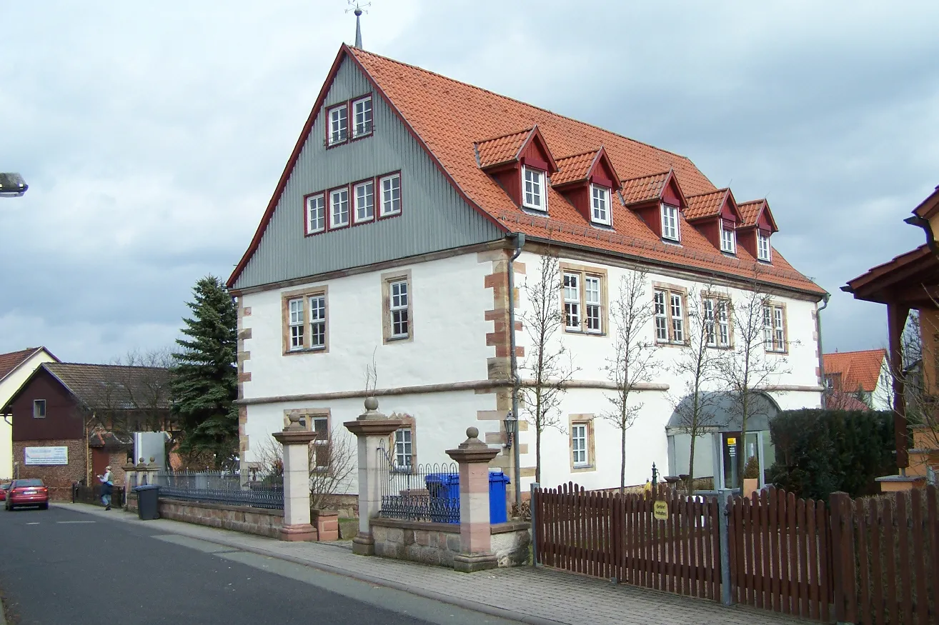
39 km
39 km
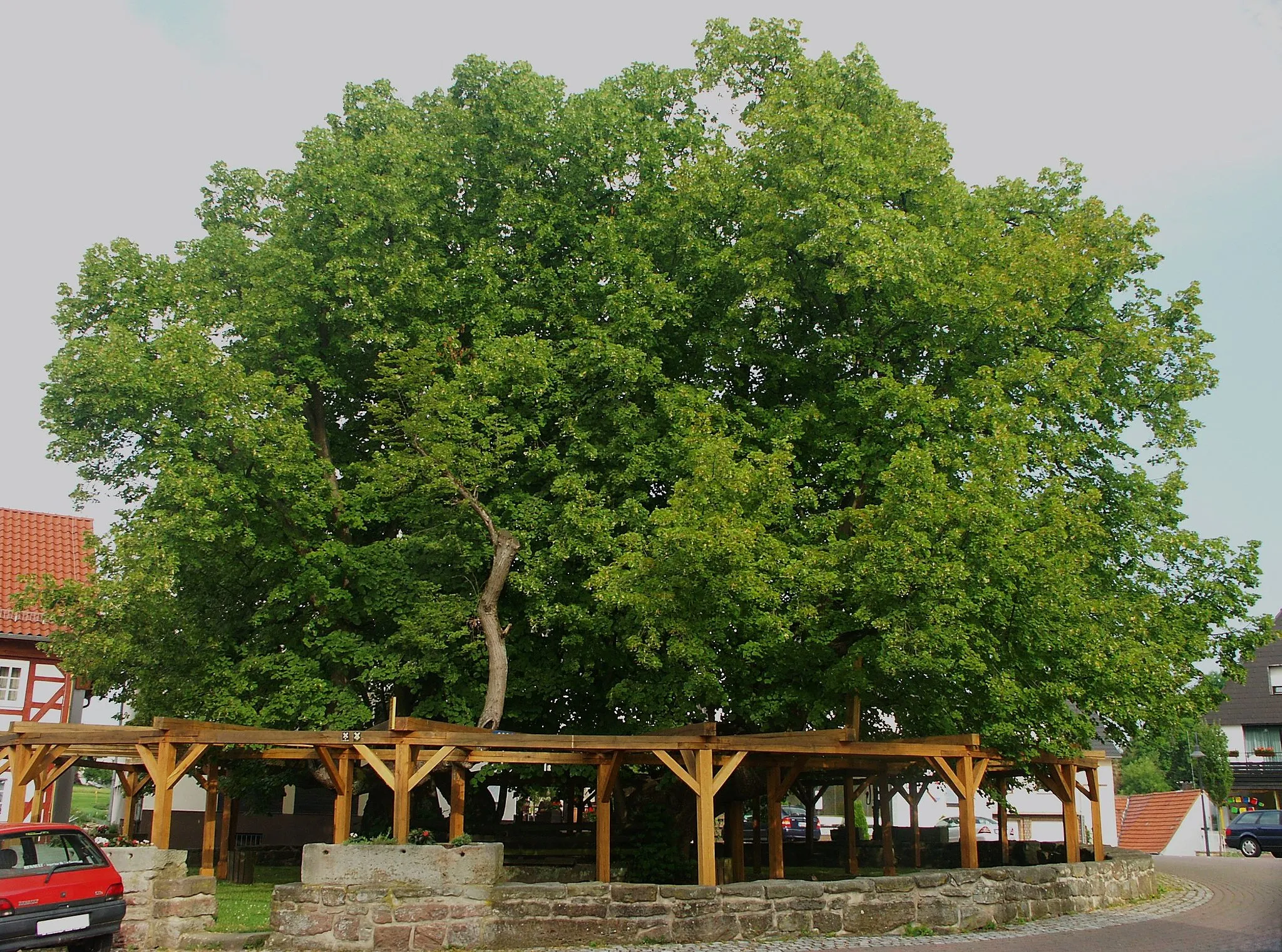
AbterodaVillageAbteroda, found at the 39-kilometer mark, is a quaint village surrounded by rolling hills and lush greenery. Experience the rural charm of the region as you pass through this idyllic settlement.
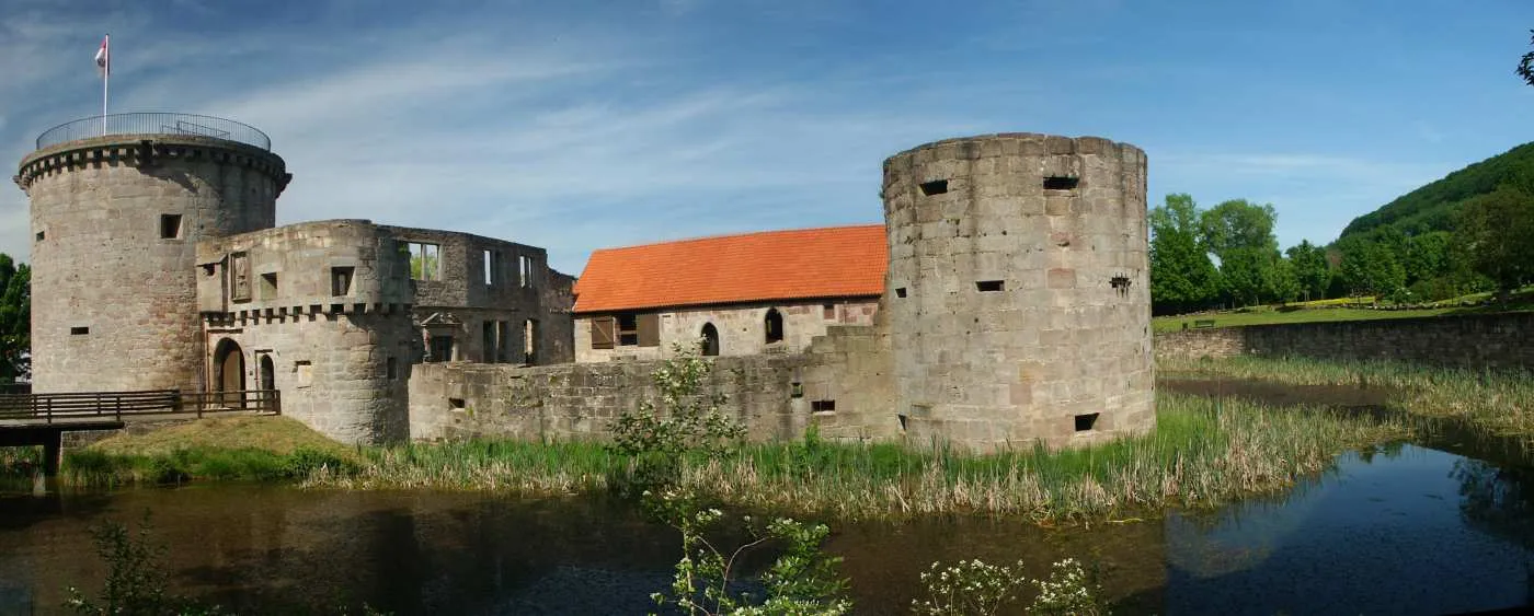
49 km
49 km
Burg WendelsteinCastleBurg Wendelstein, located at the 49-kilometer mark, is a medieval castle ruin that offers a glimpse into the region's rich history. Take a moment to explore the picturesque site and feast your eyes on its architectural splendor.
50 km
50 km
Finish: Vacha City centerVacha: Cycling paradise in the heart of Thüringen
Cycling routes nearby: