Discovering Gravel Paths and Hidden Gems
A gravel cycling route starting from Wurzbach
A gravel route leading you to charming villages and little-known attractions.
Map
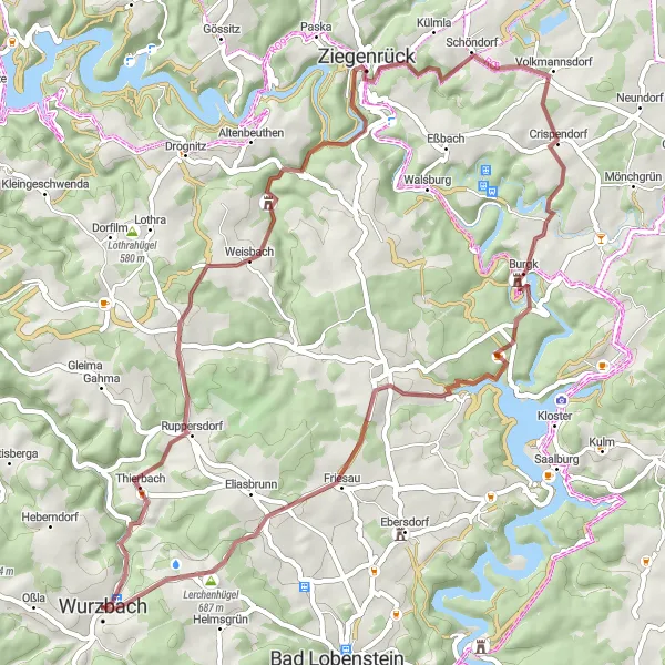
This gravel cycling route starting near Wurzbach is perfect for adventurers seeking less travelled paths. Prepare yourself for a challenging ride through varied terrains and discover hidden gems along the way. Highlights of the route include Espig, a quaint village with traditional houses, and Weisbach, where you can explore a historic castle ruins. Experience the thrill of cycling on Bocher Höhe, a towering hill with breathtaking views. Overall, this route offers a mix of natural beauty and cultural discoveries.
gravel
59 km
1360 m
Tough
Route profile
Highlights on the route
0 km
0 km
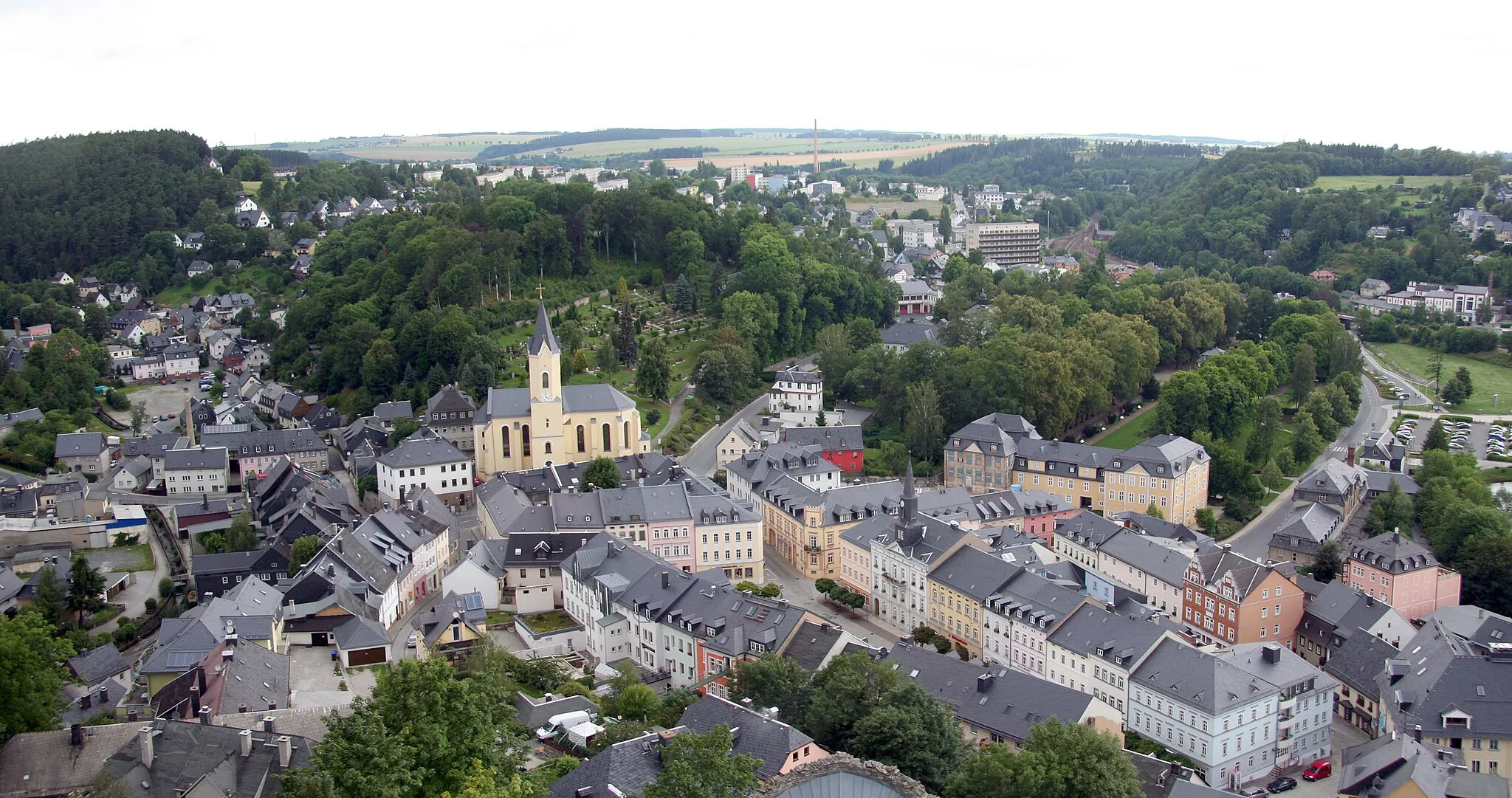
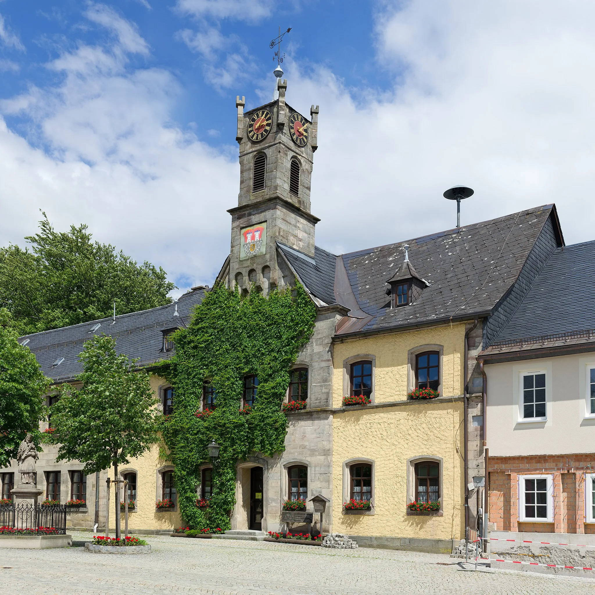
Start: Wurzbach City centerWurzbach: Cycling Tranquility in Thüringen
Wurzbach is a small town nestled in the Thüringen region of Germany. It offers a peaceful cycling experience with its quiet roads and scenic routes. The surrounding area is characterized by lush green landscapes and rolling hills, providing cyclists with a tranquil setting to enjoy their rides. The nearby Göritzhain Mountain is a popular spot for cyclists looking to challenge themselves with uphill climbs. Wurzbach is also known for its traditional festivals and cultural events, offering visitors a glimpse into the local way of life. Overall, Wurzbach is a charming locality that caters to those seeking a relaxing and beautiful cycling experience.8 km
8 km
Espig633 mPeakEspig is a charming village with narrow streets, traditional houses, and scenic views.
13 km
13 km
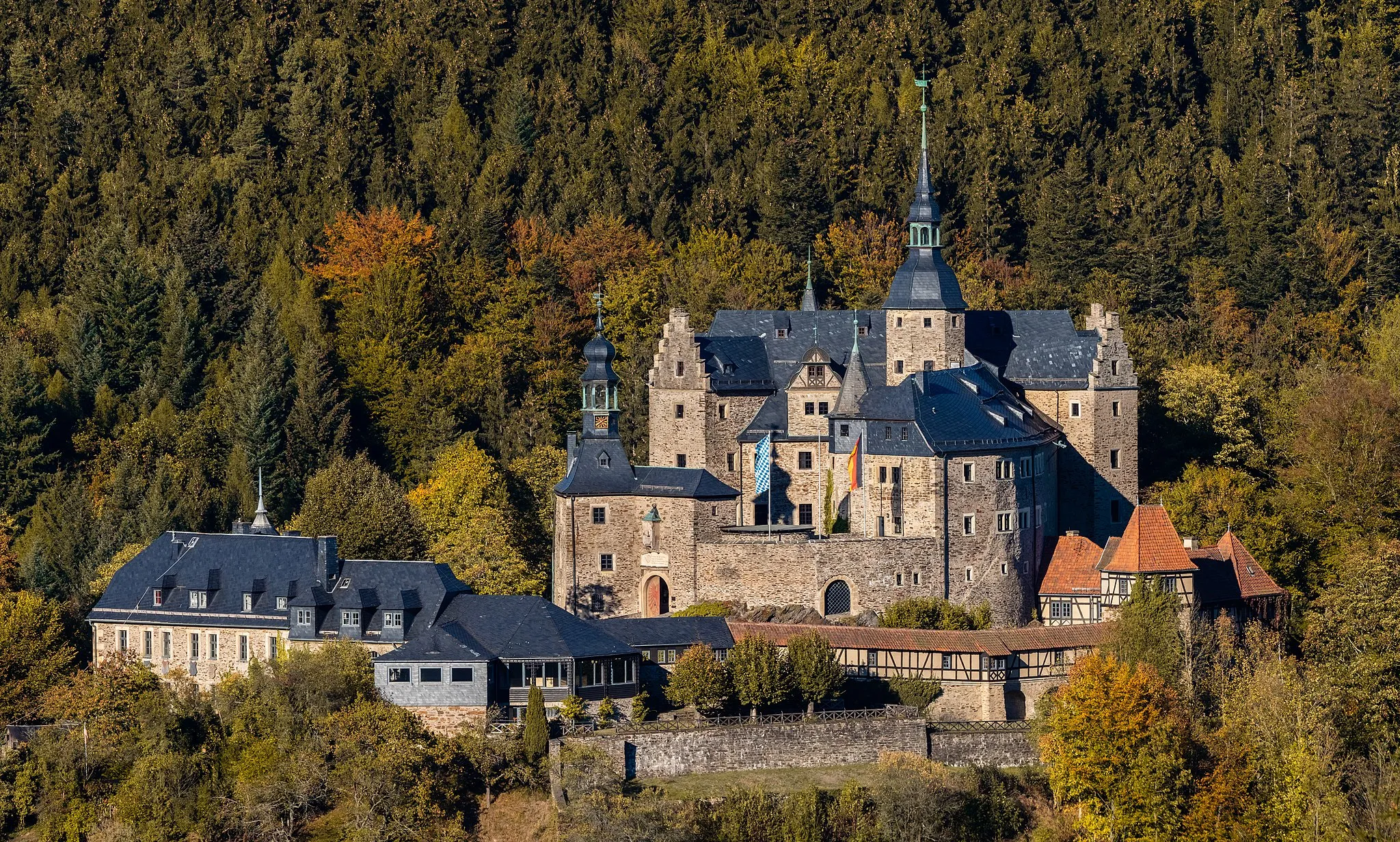
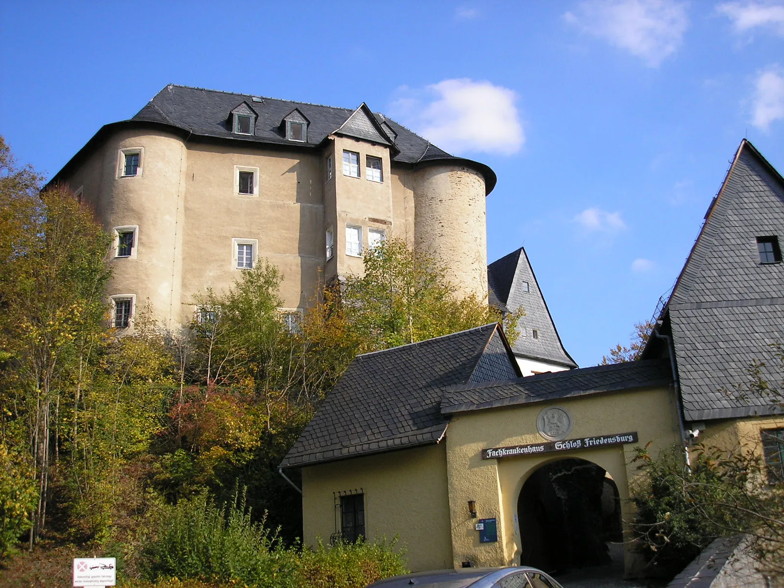
WeisbachVillageWeisbach features impressive castle ruins that offer a glimpse into the region's medieval history.
25 km
25 km
Bocher Höhe477 mPeakBocher Höhe is a challenging climb with rewarding panoramic views at the top.
32 km
32 km
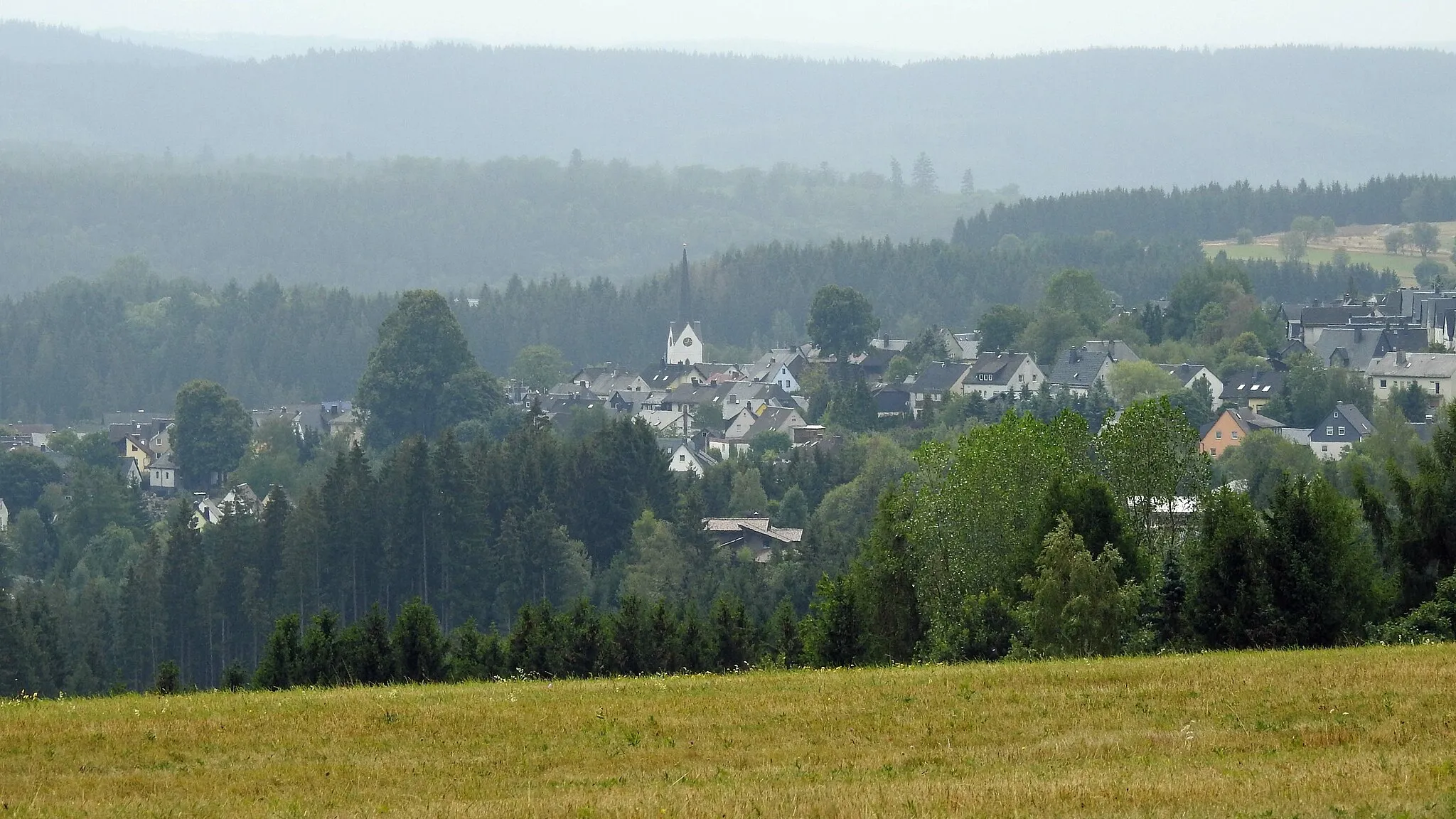
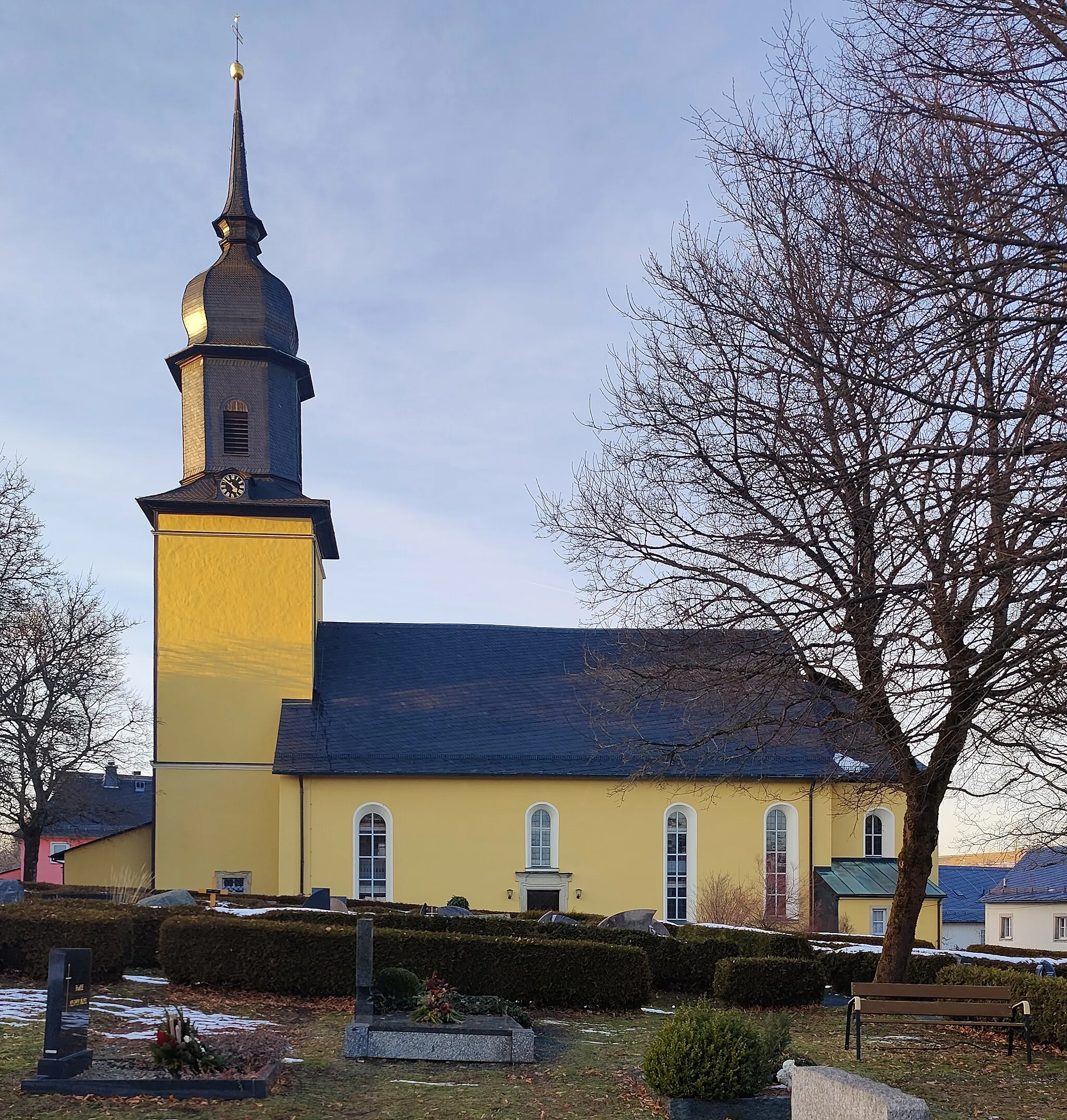
CrispendorfVillageCrispendorf is a small village with a picturesque church and peaceful atmosphere.
41 km
41 km
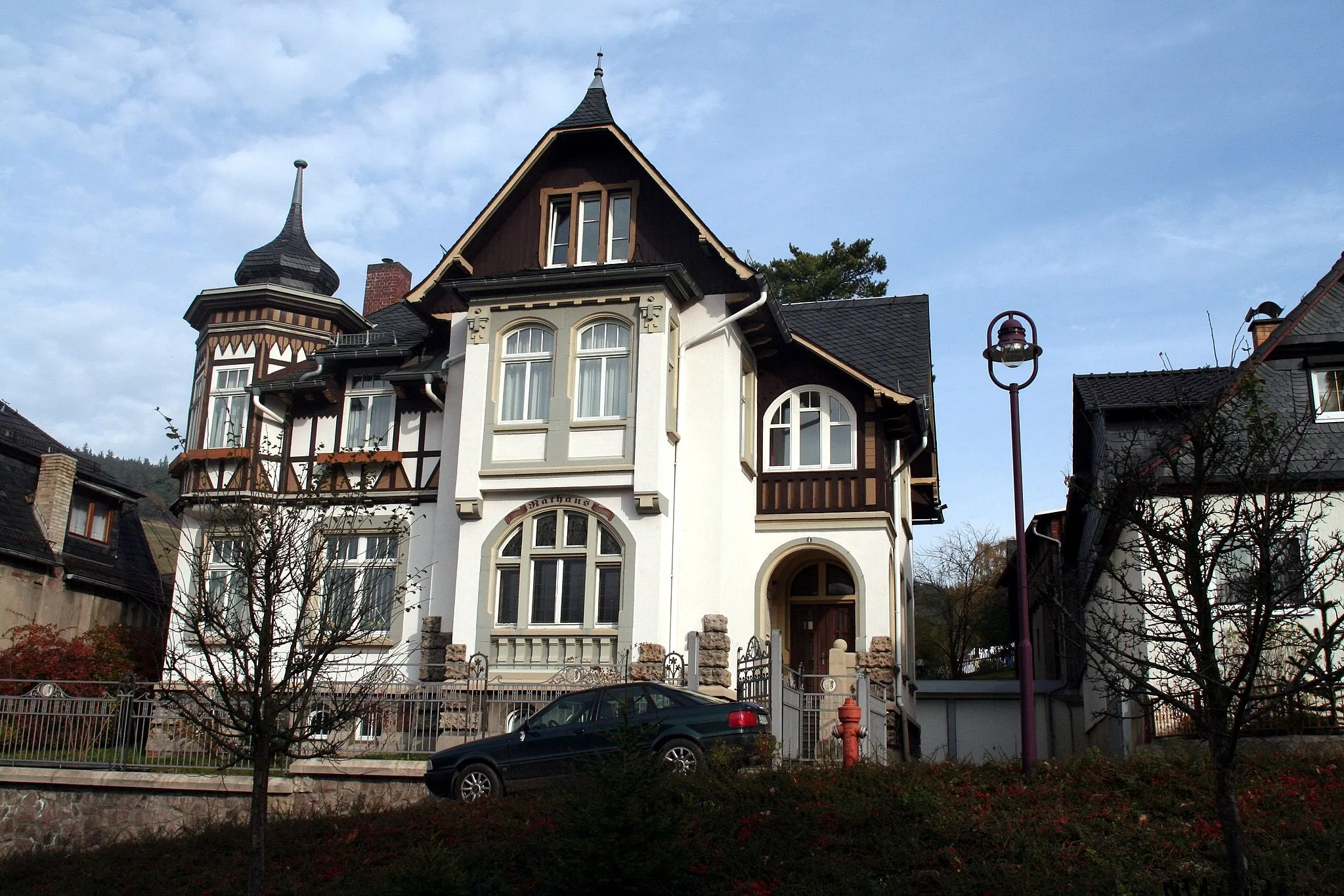
IsabellengrünHamletIsabellengrün is a hidden gem with beautifully preserved timber-framed houses.
42 km
42 km
Gans441 mPeakGans is a must-visit for nature lovers, with its scenic landscapes and peaceful hiking trails.
53 km
53 km
OberlemnitzVillageOberlemnitz offers a relaxing atmosphere and impressive views of the surrounding countryside.
58 km
58 km
Haidekoppe617 mPeakHaidekoppe is a scenic hill covered in forests and meadows.
59 km
59 km
Finish: Wurzbach City centerWurzbach: Cycling Tranquility in Thüringen
Cycling routes from Wurzbach:
Picturesque Road Adventure with Historical Delights Discovering Gravel Paths and Hidden Gems Lobenstein Adventure Gravel Adventure Wurzbach Round Scenic Gravel Adventure with Historical Highlights Exploring the Schloßberg and the Thomasmühle Countryside Exploration Conquering Challenging Gravel Paths Nature Escape
Cycling routes nearby: