Short Gravel Escape
A gravel cycling route starting from Gerolstein
Enjoy a scenic 23 km gravel route near Gerolstein
Map

If you're looking for a short but exhilarating gravel adventure, this 23 km route is the perfect choice. With a total ascent of 459 meters, this route offers a mix of gentle slopes and challenging climbs. Highlights include Dietzenley, Oberstadtfeld, Hustley, and Burg Gerolstein. Get ready to explore the scenic landscapes surrounding Gerolstein.
gravel
23 km
459 m
Chill
Route profile
Highlights on the route
0 km
0 km
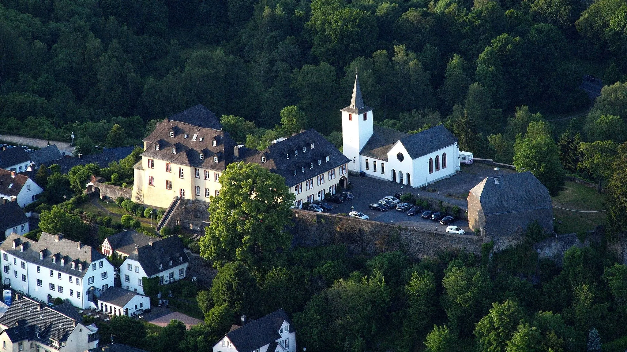
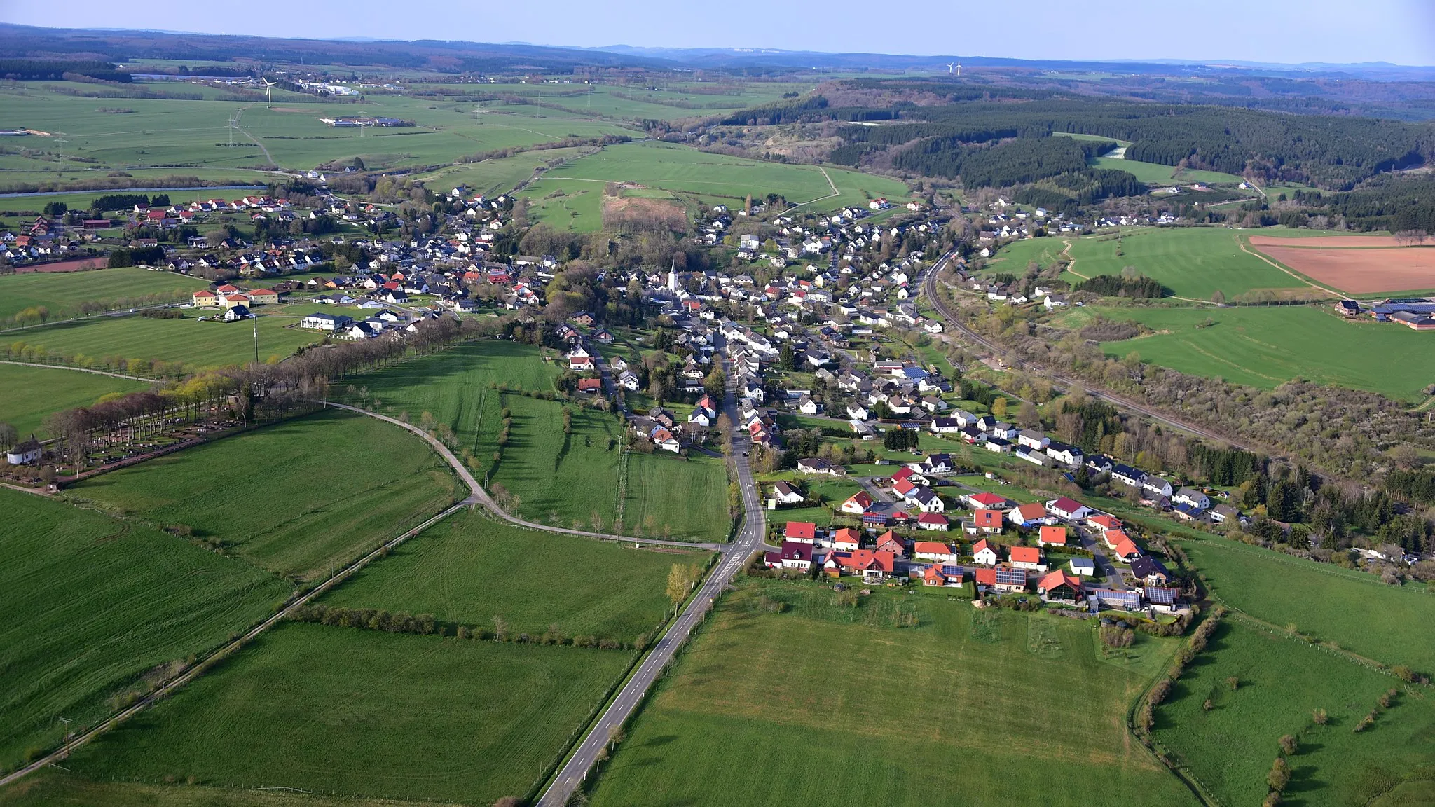
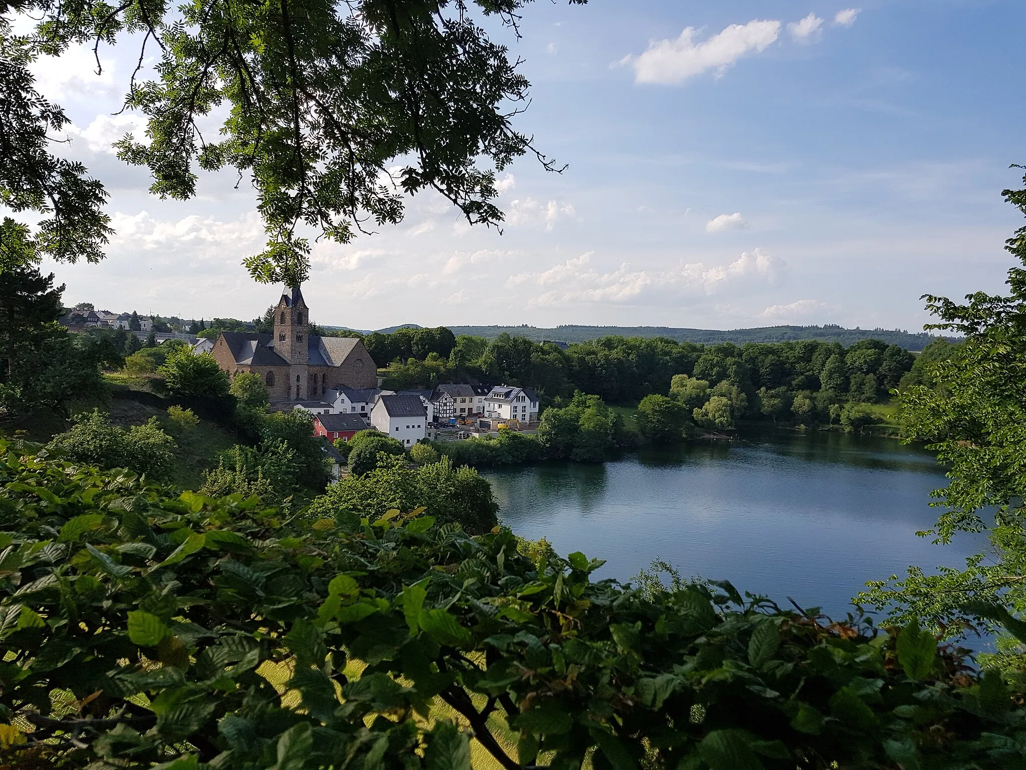
Start: Gerolstein City centerGerolstein: Cycling paradise in Trier
Gerolstein is a town located in the Trier region of Germany. It offers a variety of road and gravel cycling routes, suitable for both types of cyclists. The surrounding countryside is characterized by hilly landscapes, forests, and charming villages. Cyclists can enjoy scenic rides through the volcanic Eifel region, with options for both leisurely rides and challenging climbs. One well-known climb in the area is the Müllenborner Höhe, which offers a demanding ascent and stunning views. Gerolstein is a great destination for cyclists looking to experience the natural beauty of the Trier region.4 km
4 km
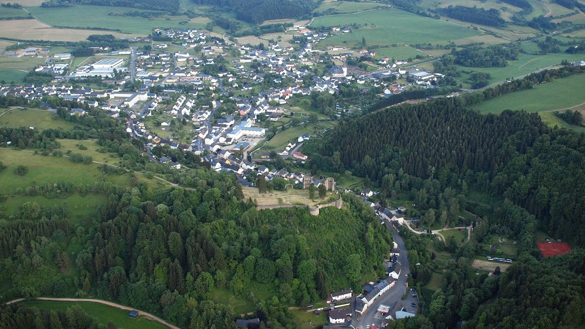
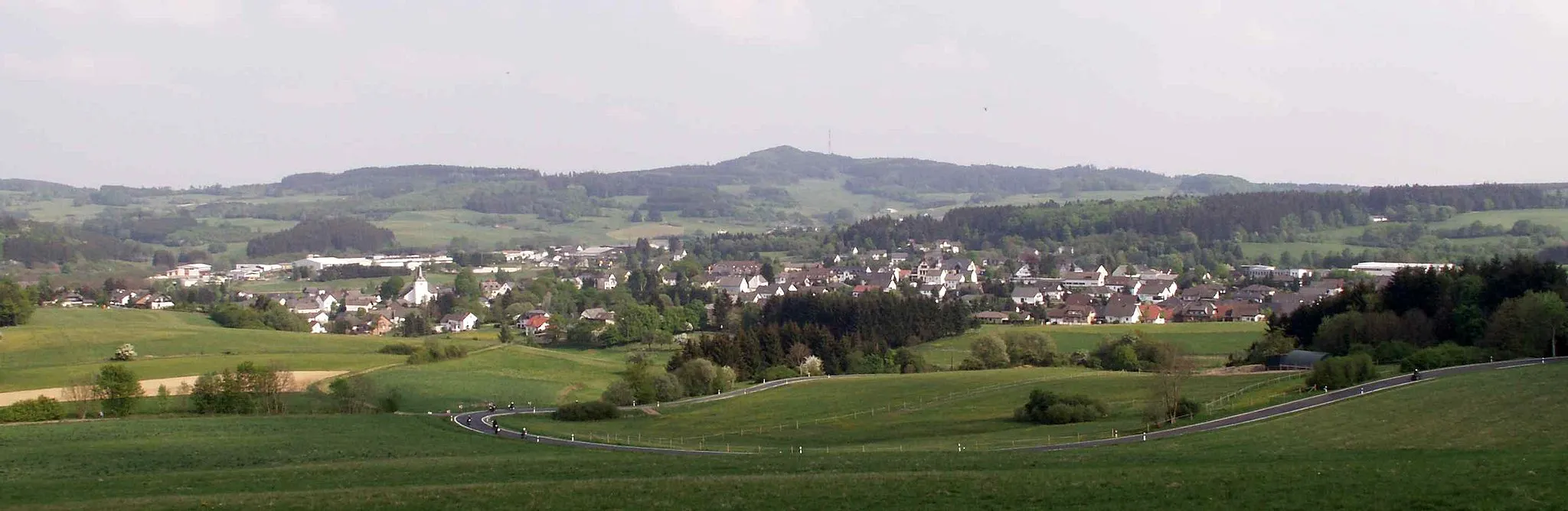
DietzenleyViewpointDietzenley is a popular spot among local cyclists. Enjoy the stunning views from the top and take a moment to catch your breath.
11 km
11 km
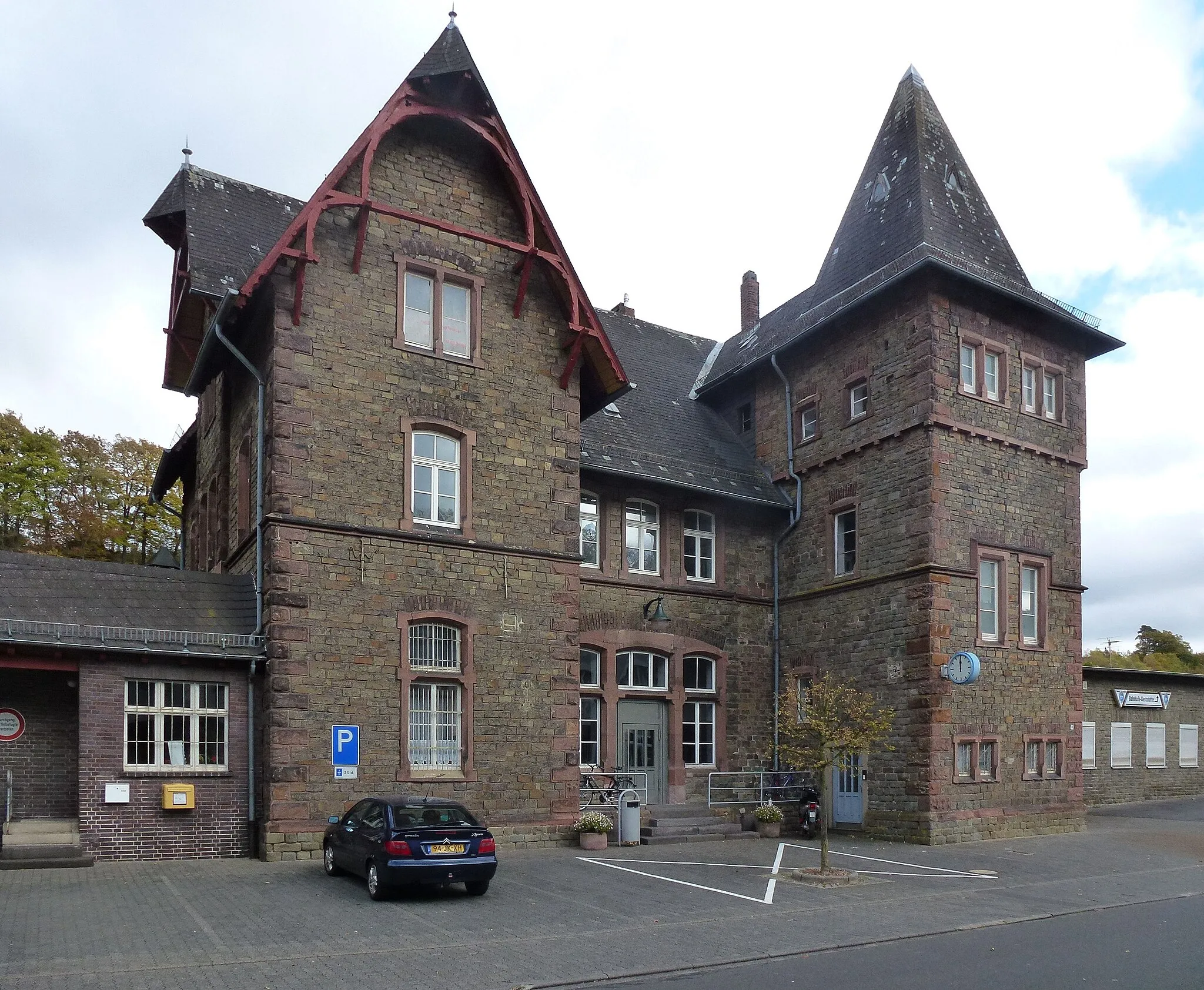
OberstadtfeldVillageOberstadtfeld is a charming village with traditional houses. Take a break and enjoy the peaceful atmosphere.
22 km
22 km
HustleyViewpointHustley offers beautiful views of the surrounding nature. Stop by the viewpoint and soak in the tranquility.
22 km
22 km
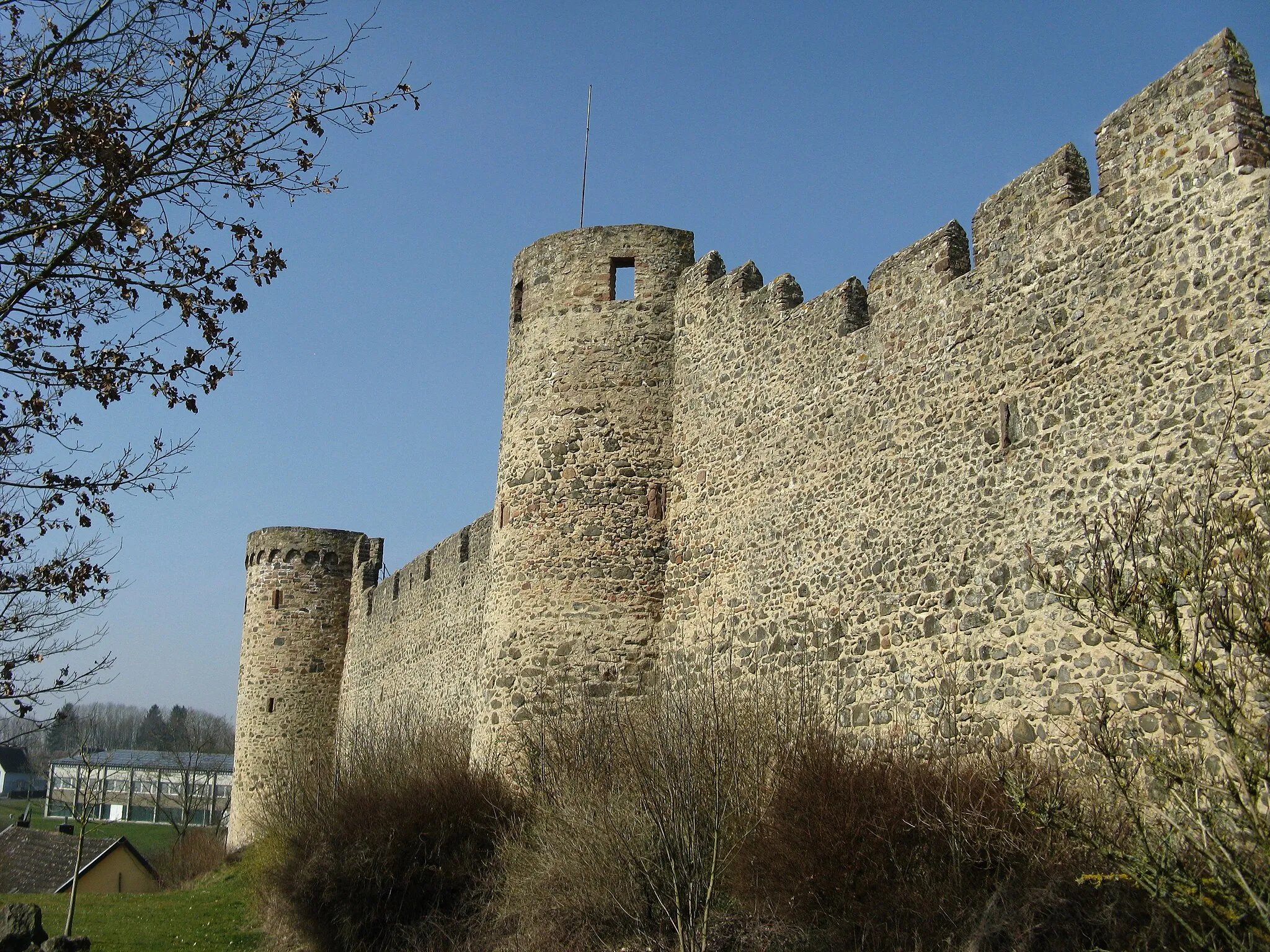
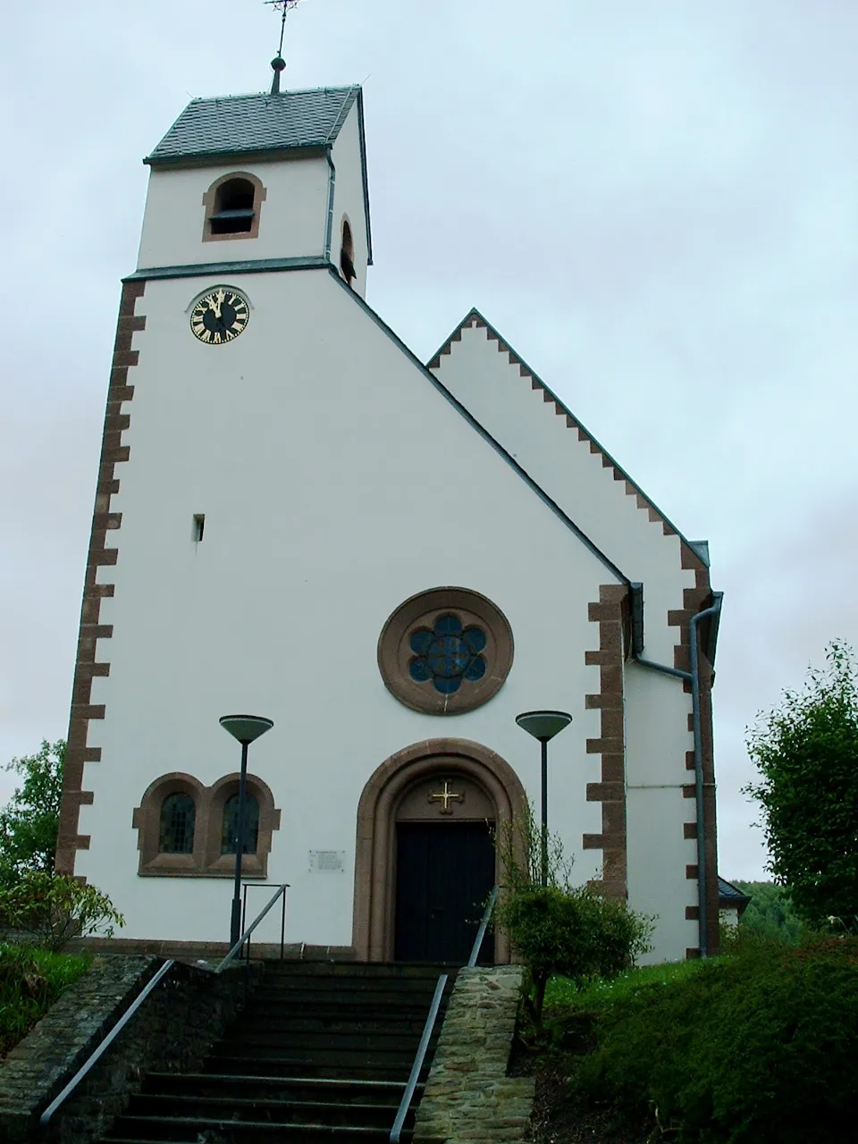
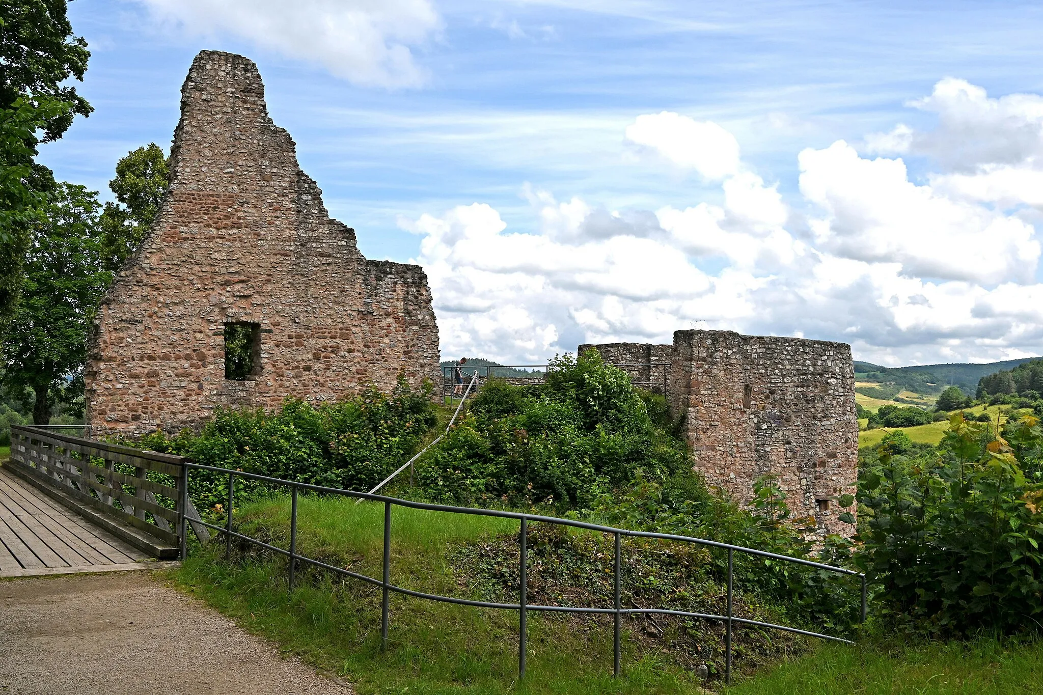
Burg GerolsteinCastleBurg Gerolstein is a medieval castle ruins overlooking the town of Gerolstein. Explore the ancient walls and enjoy panoramic views of the area.
23 km
23 km
Finish: Gerolstein City centerGerolstein: Cycling paradise in Trier
Cycling routes nearby: