Eifel Exploration
A road cycling route starting from Gerolstein
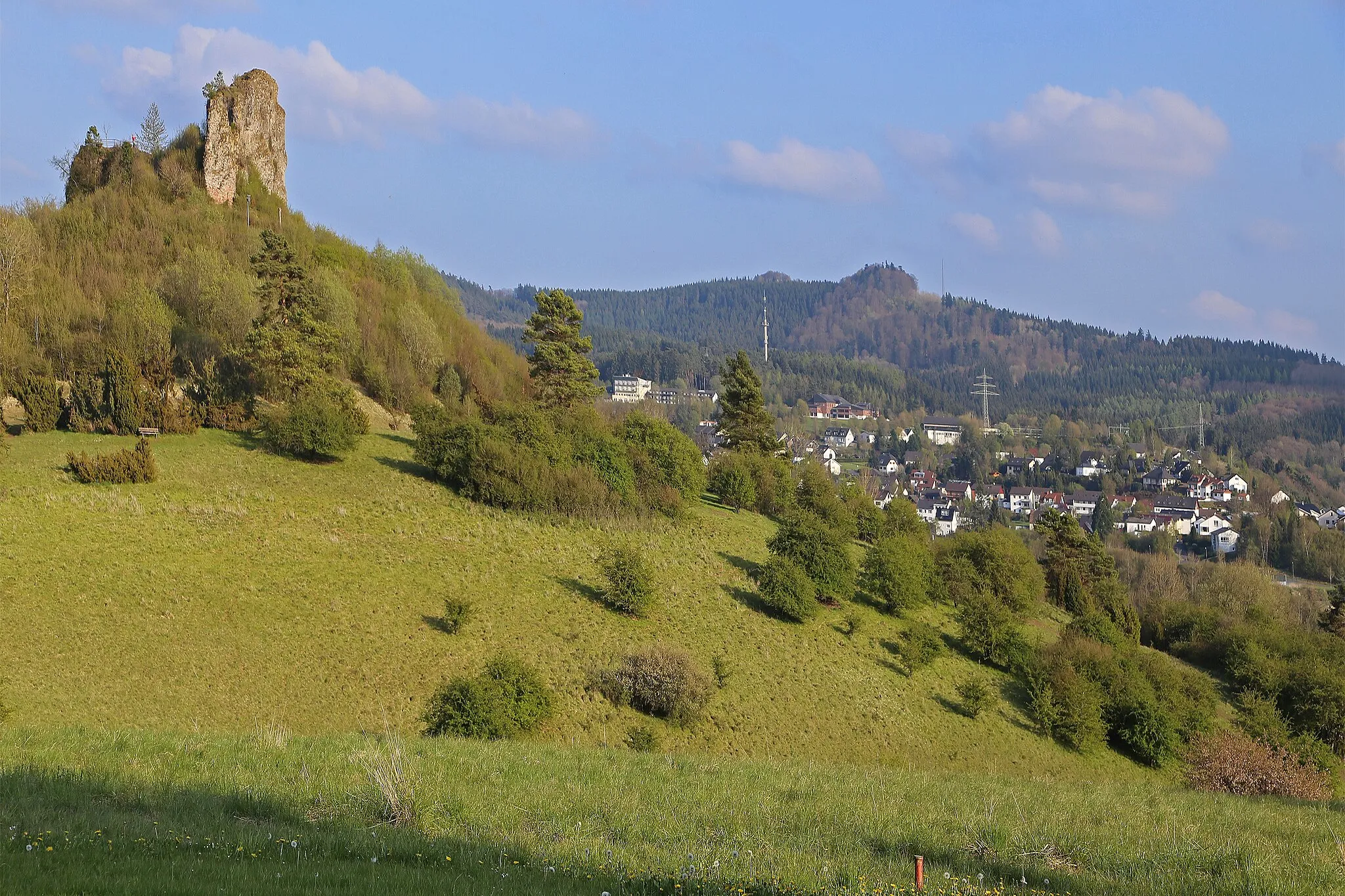
Climb the beautiful Lichtenborner Höhe with stunning views.
Map
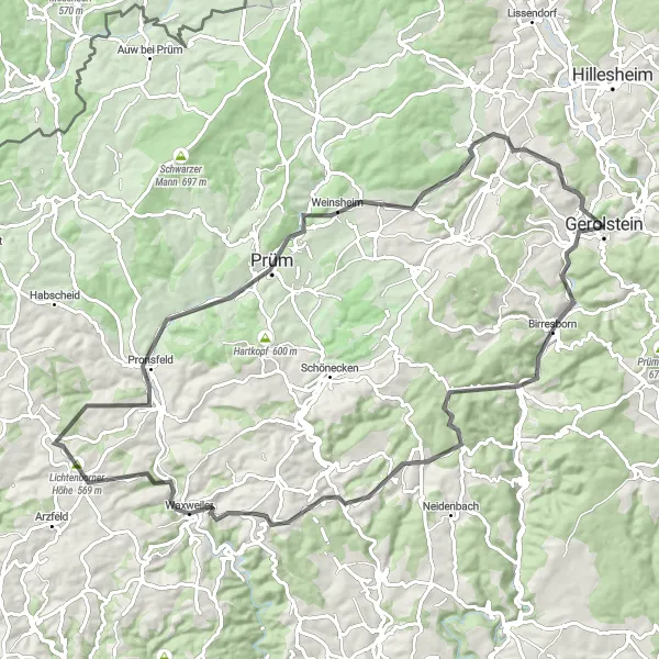
Embark on a challenging road cycling adventure through the picturesque landscapes of the Eifel region. With a total ascent of 1,366 meters and a distance of 89 kilometers, this route offers plenty of opportunities to test your endurance and enjoy breathtaking scenery. Starting in Gerolstein, the route takes you through hidden gems like the Krummenacker and Hargarten, before reaching the highlight of the ride, Lichtenborner Höhe. This renowned climb rewards you with panoramic views of the surrounding countryside. Don't miss stopping by Prüm and Hardt, charming towns with a rich history. Wrap up the journey in Munterley, with a sense of accomplishment and a desire to explore more.
road
89 km
1366 m
Tough
Route profile
Highlights on the route
0 km
0 km
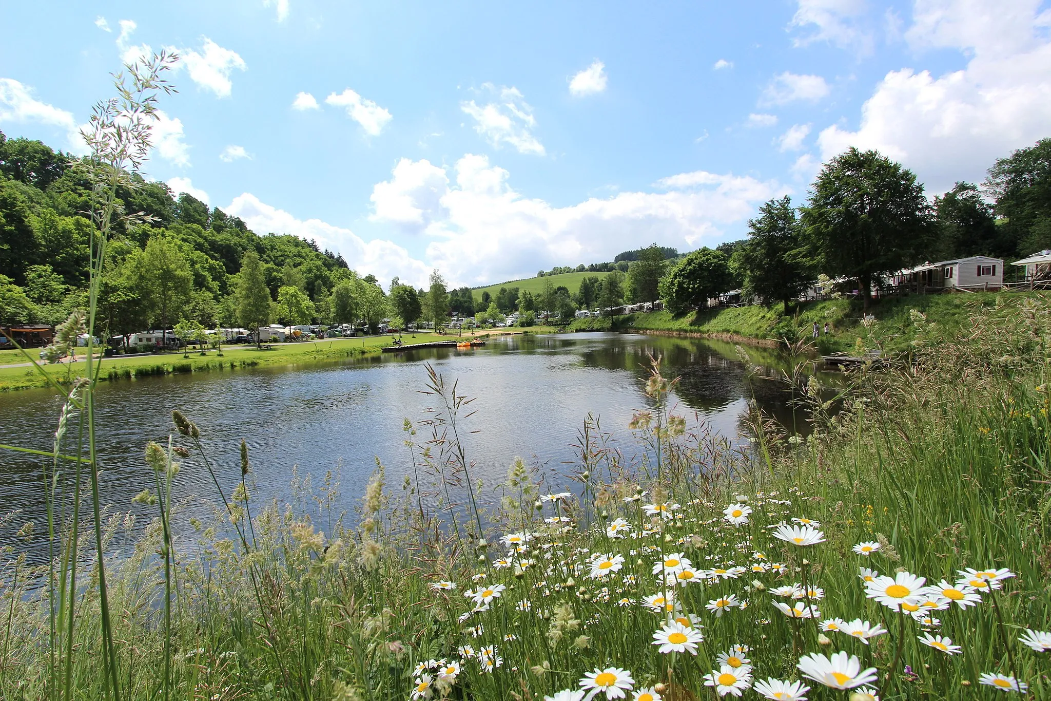
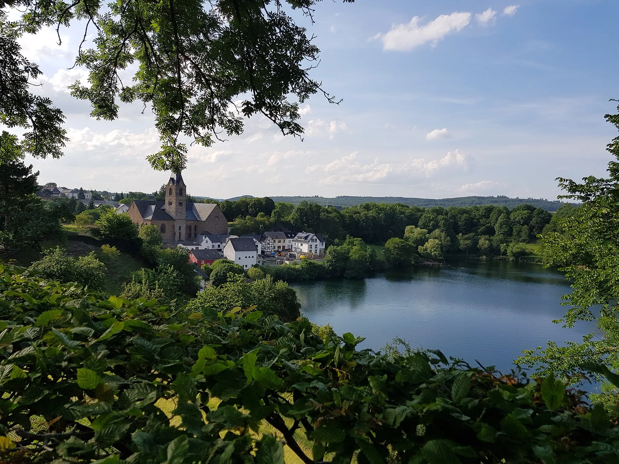
Start: Gerolstein City centerGerolstein: Cycling paradise in Trier
Gerolstein is a town located in the Trier region of Germany. It offers a variety of road and gravel cycling routes, suitable for both types of cyclists. The surrounding countryside is characterized by hilly landscapes, forests, and charming villages. Cyclists can enjoy scenic rides through the volcanic Eifel region, with options for both leisurely rides and challenging climbs. One well-known climb in the area is the Müllenborner Höhe, which offers a demanding ascent and stunning views. Gerolstein is a great destination for cyclists looking to experience the natural beauty of the Trier region.0 km
0 km
GerolsteinTownStarting in Gerolstein, this route will take you on a journey through the heart of the Eifel region, blessed with natural beauty and cultural heritage.
7 km
7 km
Goldberg523 mPeakThe Goldberg is a hidden gem offering tranquility and a chance to connect with nature.
29 km
29 km
Krummenacker555 mPeakKrummenacker welcomes you with its picturesque landscapes and postcard-worthy views.
32 km
32 km
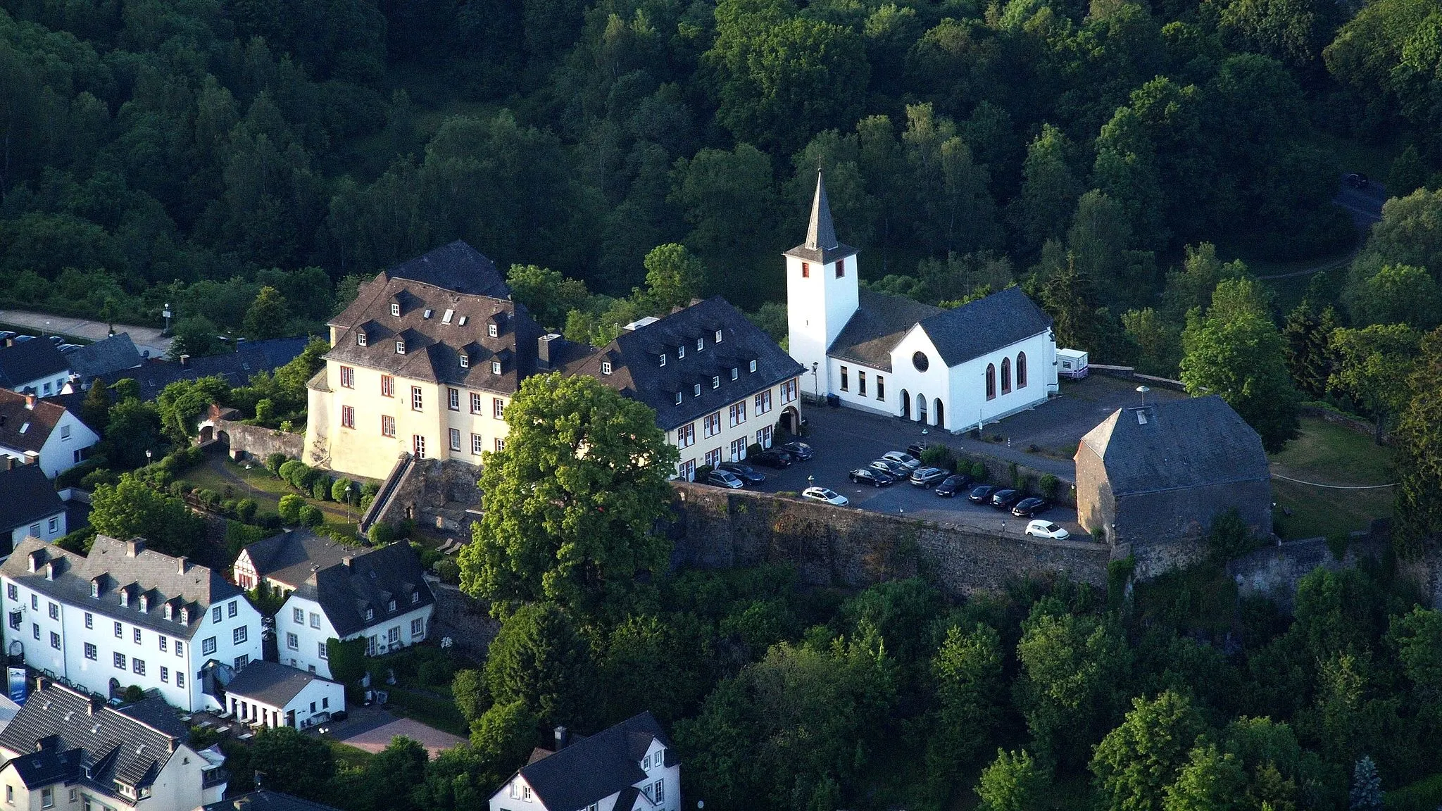
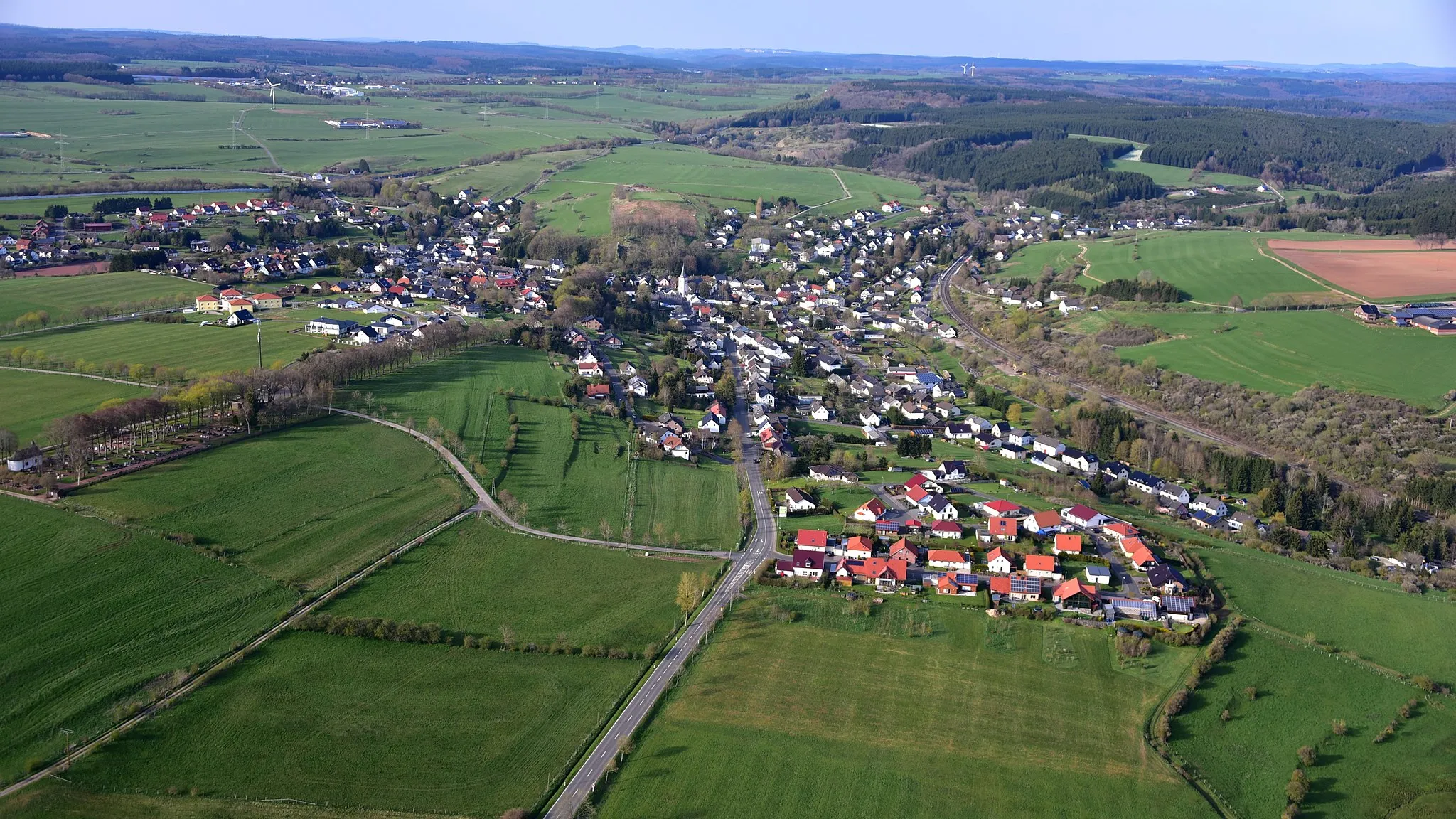
HargartenVillageHargarten is known for its traditional half-timbered houses and charming atmosphere.
45 km
45 km
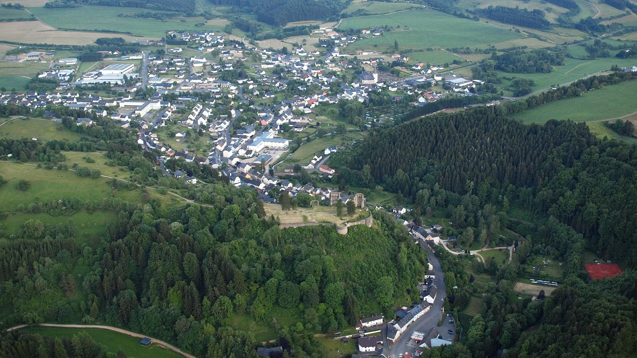
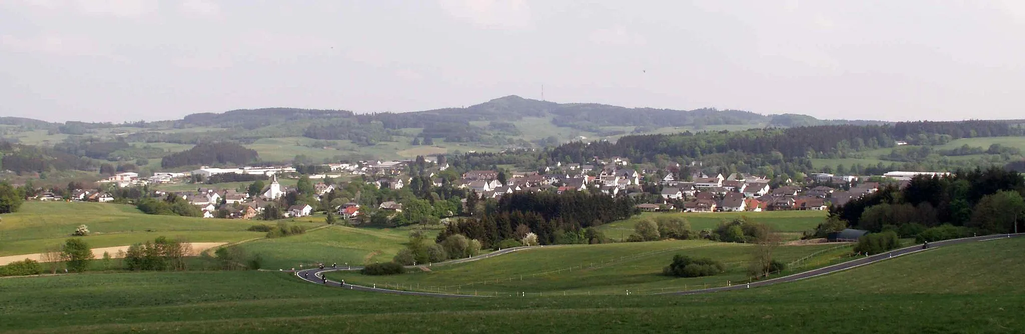
Lichtenborner Höhe569 mViewpointLichtenborner Höhe is a legendary climb that attracts cyclists from all over the country. Prepare to be rewarded with stunning panoramic views.
50 km
50 km
EuscheidVillageEuscheid offers a tranquil setting and the opportunity to explore its cultural and natural heritage.
64 km
64 km
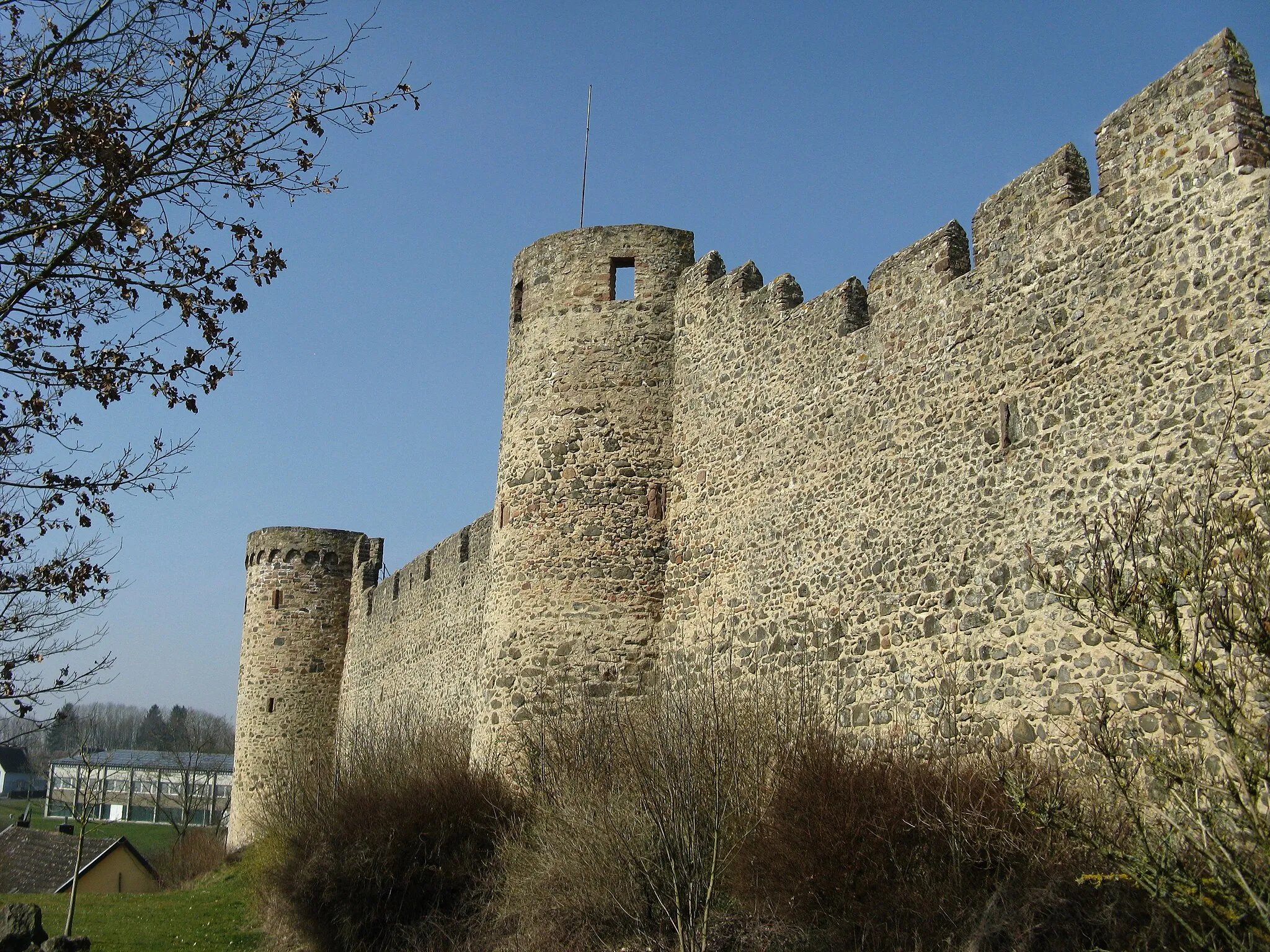
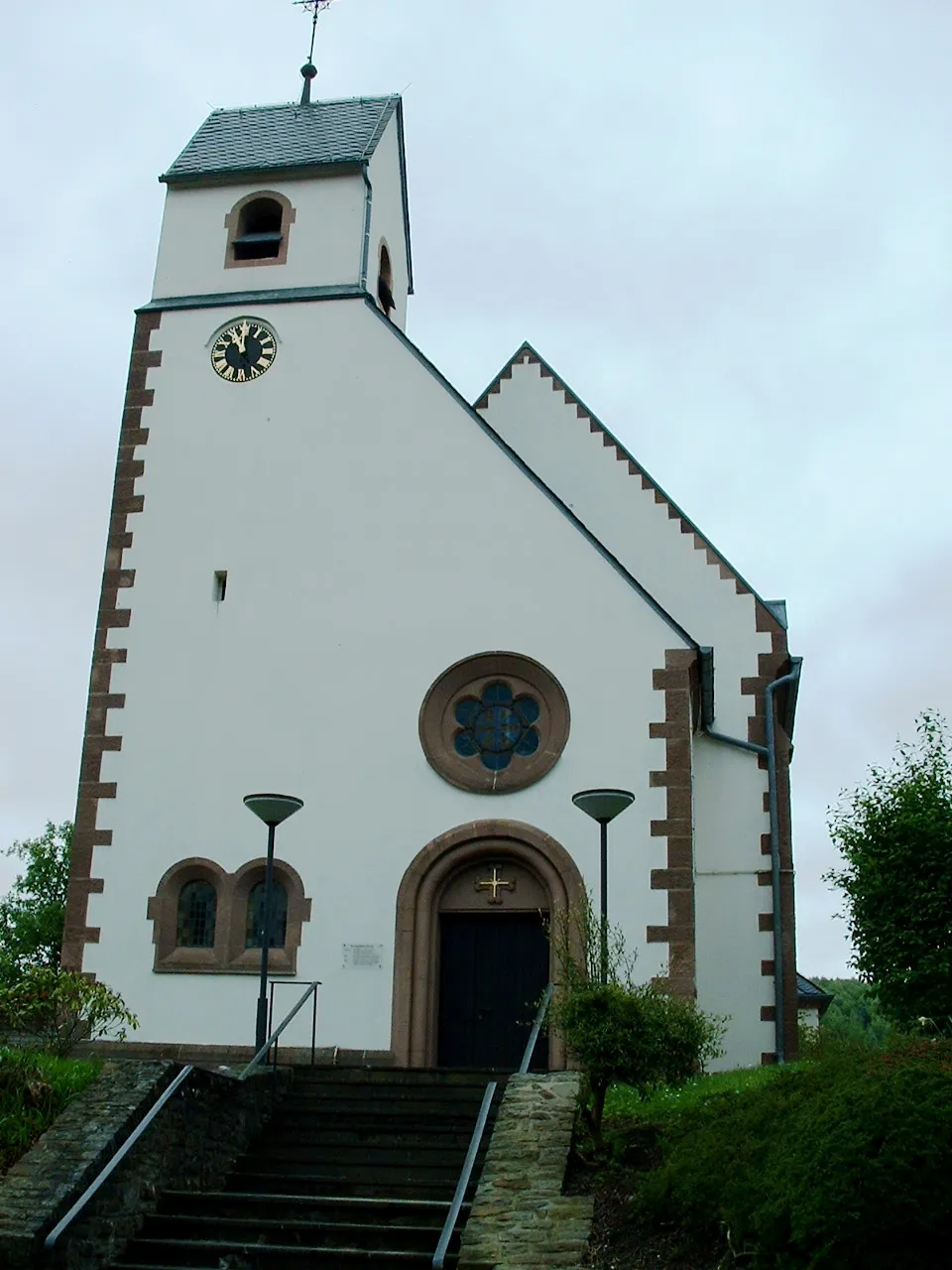
PrümTownPrüm is a charming town with an impressive abbey and a rich history waiting to be discovered.
70 km
70 km
Hardt627 mPeakHardt invites you to take a break and enjoy its picturesque surroundings.
78 km
78 km
DuppachVillageDuppach is a hidden gem offering serenity and a chance to rejuvenate.
88 km
88 km
Munterley482 mPeak ViewpointMunterley is a perfect endpoint for the journey, with its welcoming atmosphere and a variety of activities to unwind.
89 km
89 km
Finish: Gerolstein City centerGerolstein: Cycling paradise in Trier
Cycling routes nearby: