Challenging Road Journey
A road cycling route starting from Gerolstein
Embark on a challenging 81 km road cycling journey near Gerolstein
Map
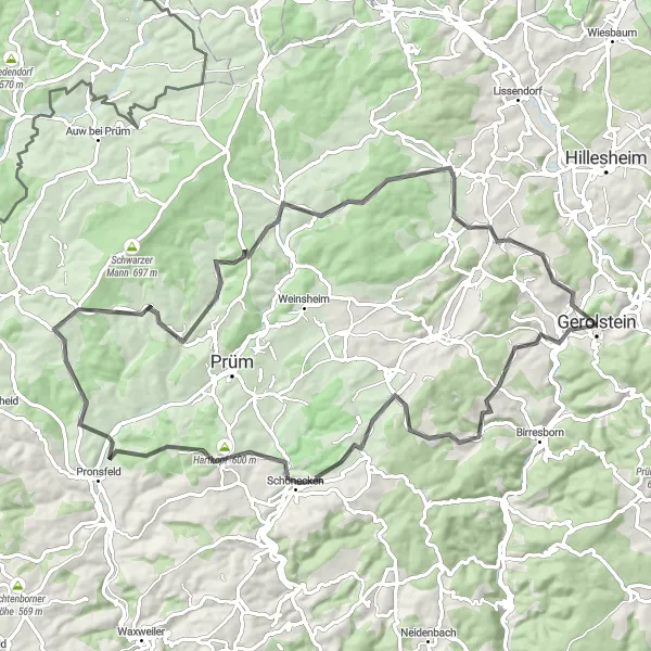
Get ready to push your limits with this challenging 81 km road cycling journey. With a total ascent of 1439 meters, this route is not for the faint-hearted. Highlights include Kopp, Niederlauch, Pittenbach, and Munterley. Prepare yourself for grueling climbs and thrilling descents as you explore the stunning landscapes around Gerolstein.
road
81 km
1439 m
Savage
Route profile
Highlights on the route
0 km
0 km
Start: Gerolstein City centerGerolstein: Cycling paradise in Trier
Gerolstein is a town located in the Trier region of Germany. It offers a variety of road and gravel cycling routes, suitable for both types of cyclists. The surrounding countryside is characterized by hilly landscapes, forests, and charming villages. Cyclists can enjoy scenic rides through the volcanic Eifel region, with options for both leisurely rides and challenging climbs. One well-known climb in the area is the Müllenborner Höhe, which offers a demanding ascent and stunning views. Gerolstein is a great destination for cyclists looking to experience the natural beauty of the Trier region.10 km
10 km
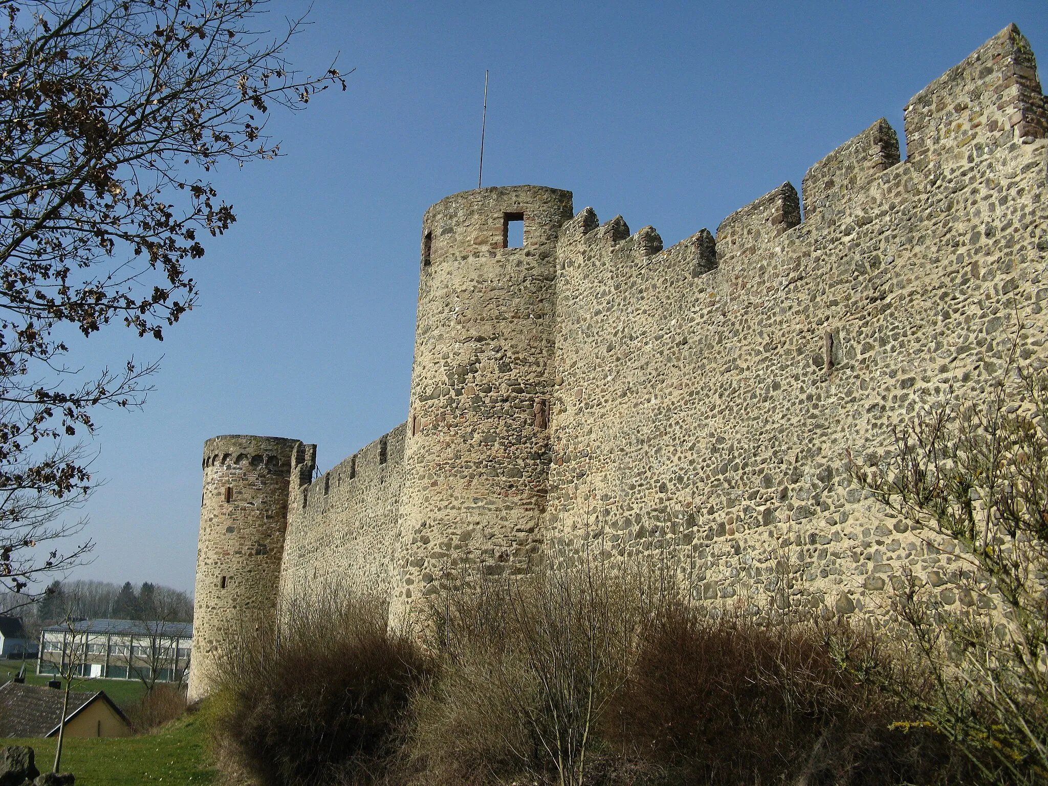
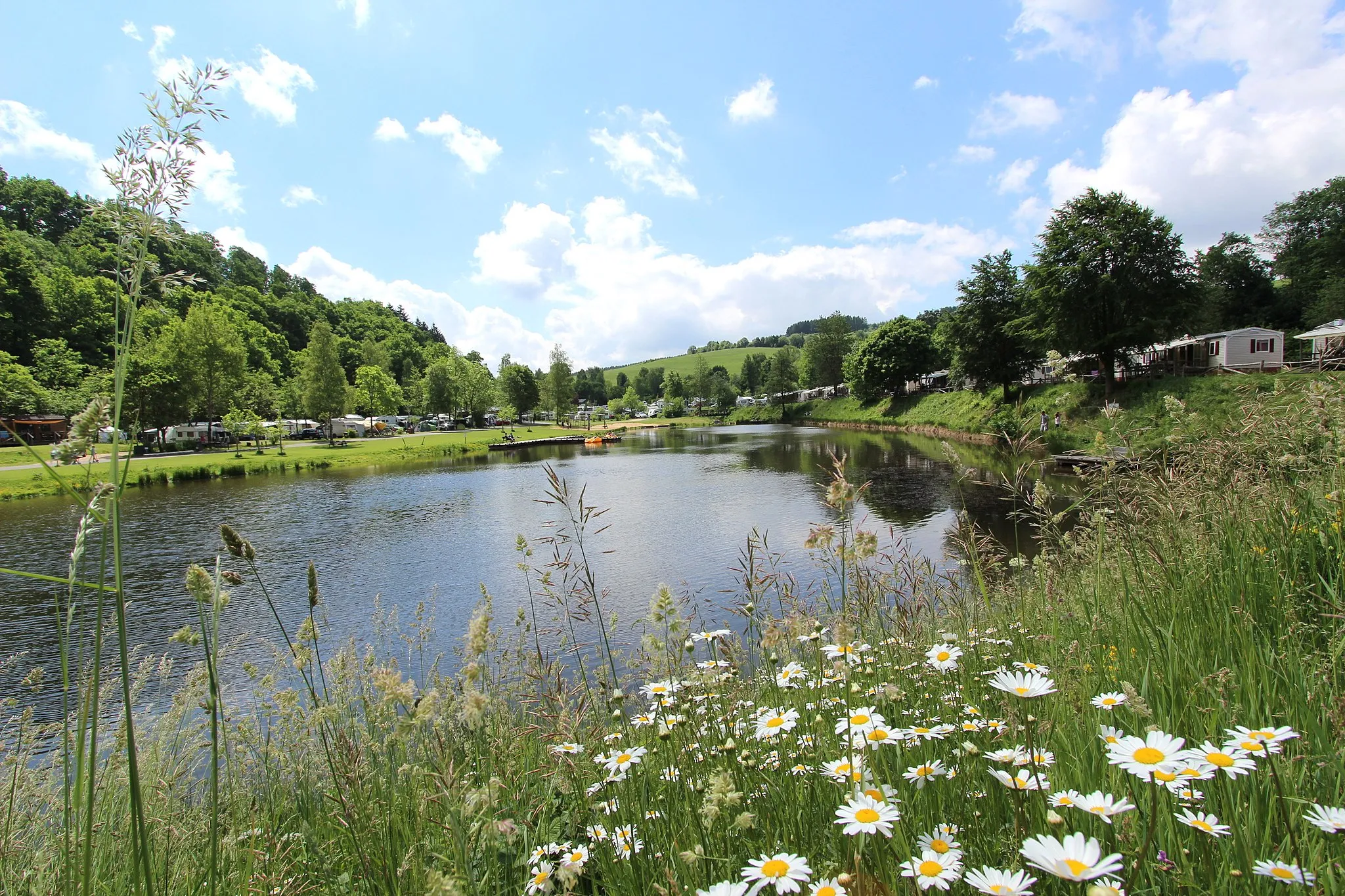
KoppVillageKopp is a serene village surrounded by rolling hills. Take a moment to enjoy the tranquility and admire the picturesque views.
27 km
27 km
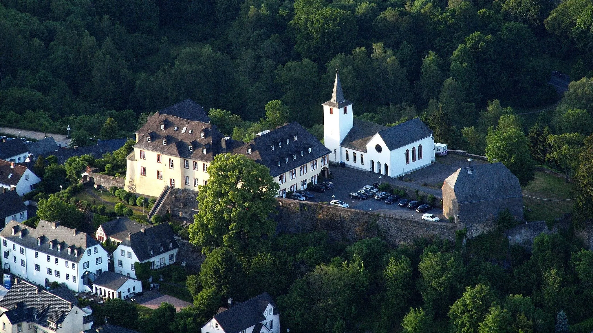
NiederlauchVillageNiederlauch is a charming village with beautiful half-timbered houses. Stop by a local bakery and indulge in some traditional pastries.
27 km
27 km
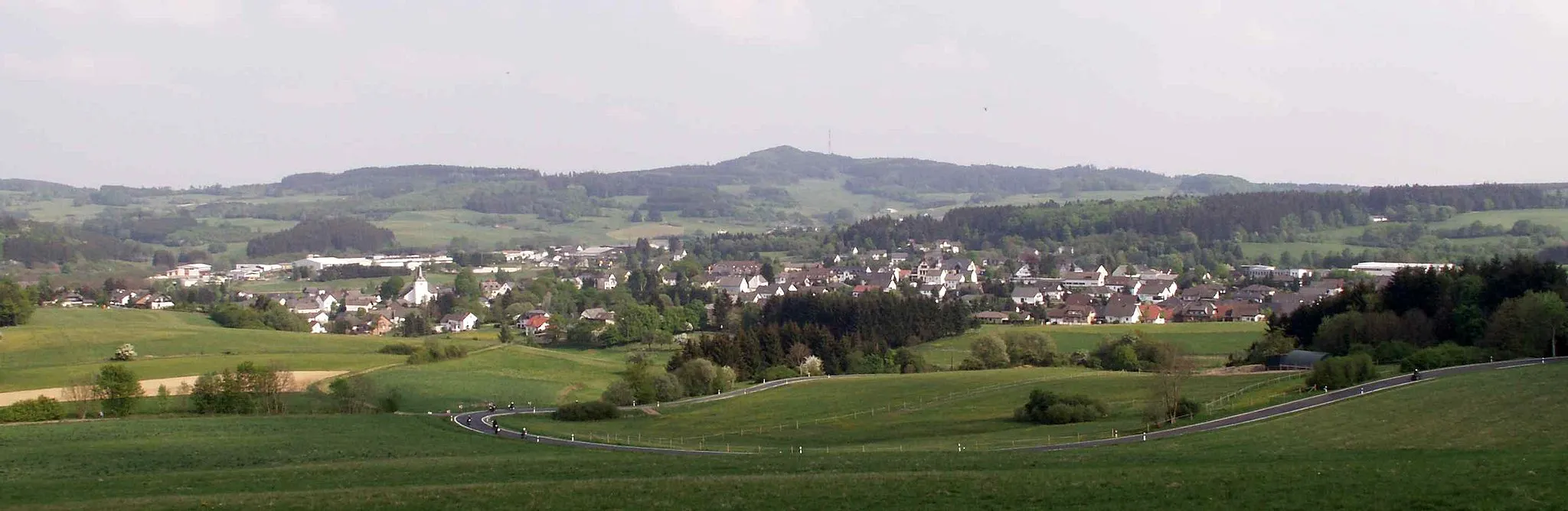
Hartkopf600 mPeakHartkopf offers breathtaking views of the vast countryside and distant mountains. Take a break and soak in the scenery.
35 km
35 km
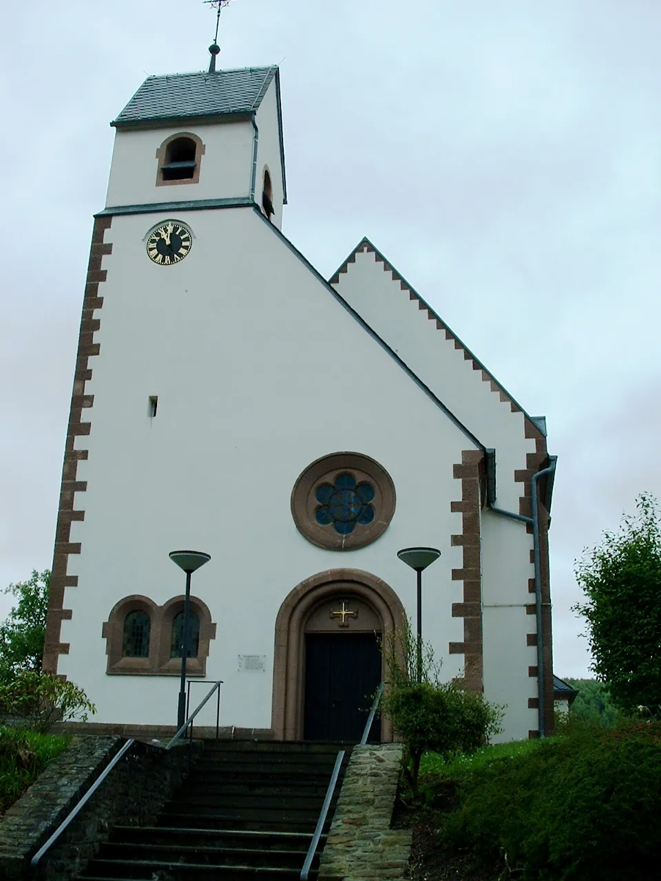
PittenbachVillagePittenbach is a small village nestled in a scenic valley. Discover the hidden charm of this quiet retreat.
64 km
64 km
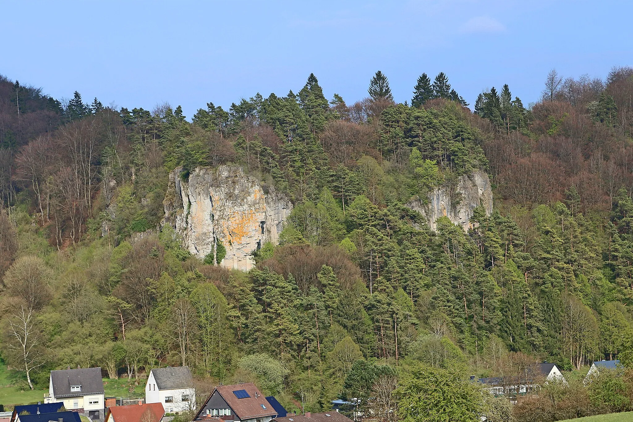
Langer Stein640 mPeakLanger Stein is a unique natural formation known for its tall rock formations. Admire the geological wonders and take a moment to rest.
70 km
70 km
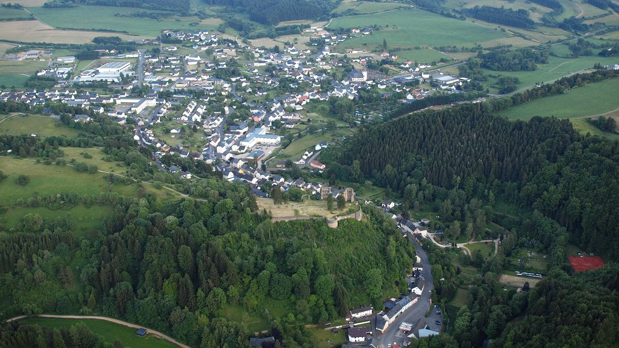
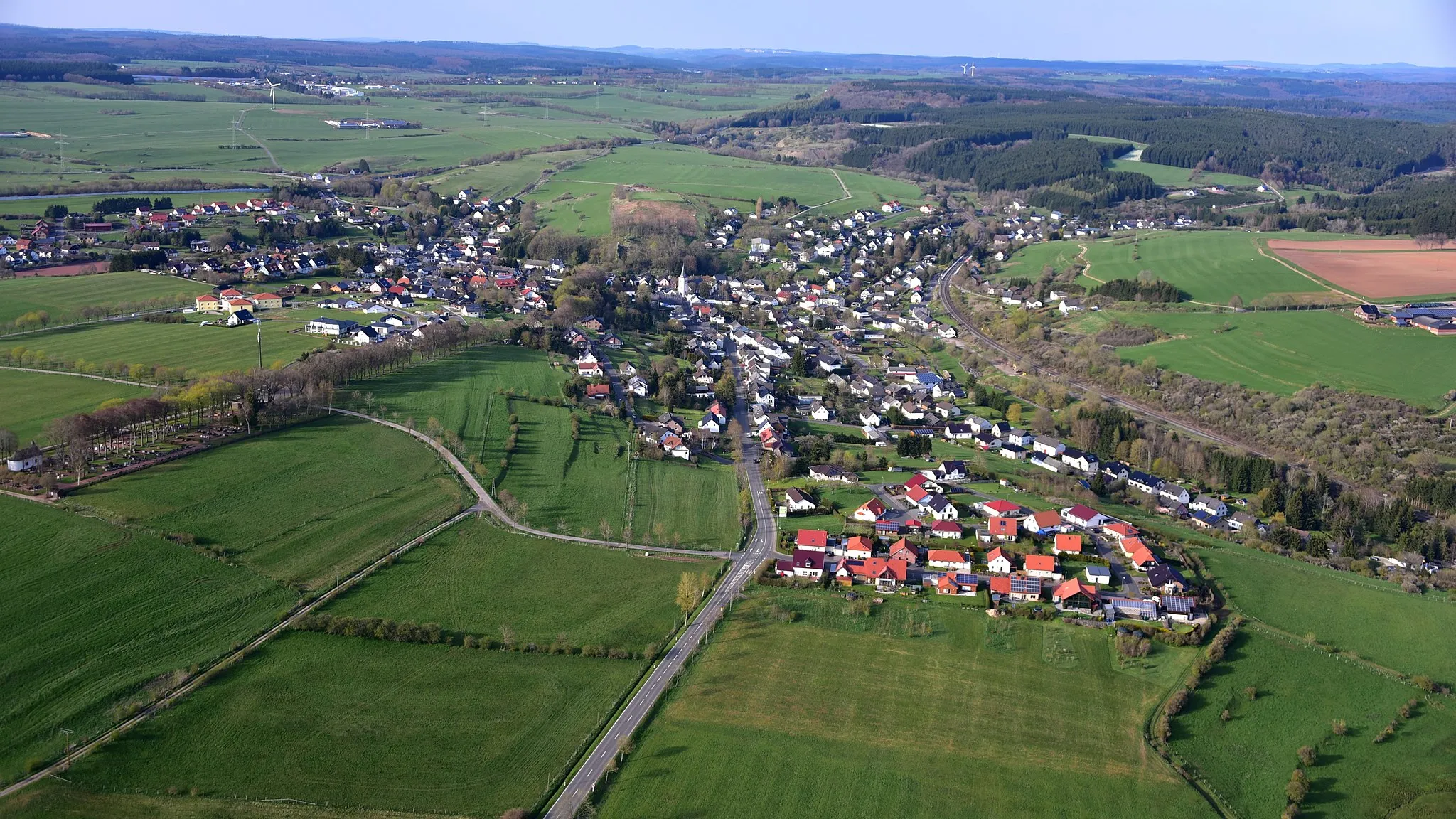
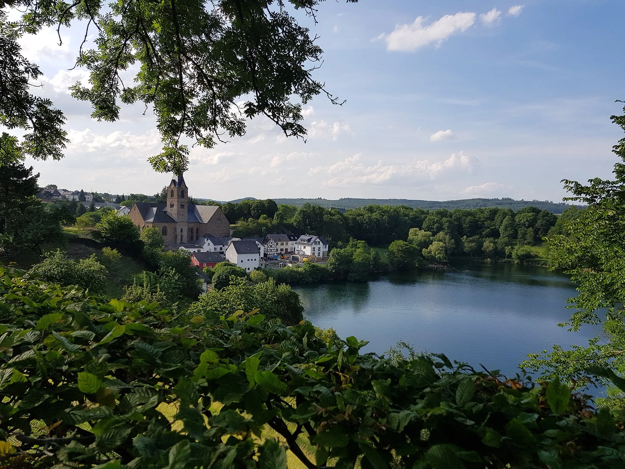
DuppachVillageDuppach is home to the iconic Duppacher Maar, a volcanic crater lake. Don't miss the opportunity to take a refreshing dip.
80 km
80 km
Munterley482 mPeak ViewpointMunterley is a picturesque village with charming traditional houses. Enjoy the peaceful atmosphere and relax in one of the local cafes.
80 km
80 km
PapenkauleAttractionPapenkaule is a small village with a rich history. Explore the old buildings and learn about the village's past.
81 km
81 km
Finish: Gerolstein City centerGerolstein: Cycling paradise in Trier
Cycling routes nearby: