The Gravel Adventure
A gravel cycling route starting from Hermeskeil
Embark on an exciting gravel bike ride starting near Hermeskeil
Map

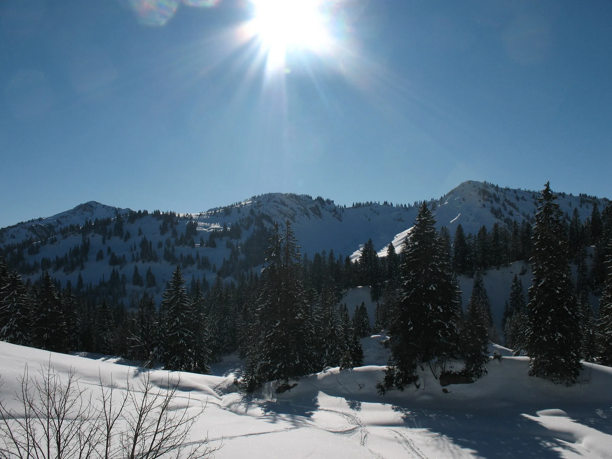
This gravel route takes cyclists on a thrilling adventure starting near Hermeskeil. With a total distance of 67km and an ascent of 1111m, this route offers a challenging but rewarding experience. Cyclists will pass through highlights such as Ruppelstein, Rinzenberg, and Steinerner Mann, each providing unique sights and attractions. With a difficulty rating of 4 and an epicness rating of 3, this route is perfect for well-trained amateur riders seeking exploration and adventure.
gravel
67 km
1111 m
Tough
Route profile
Highlights on the route
0 km
0 km
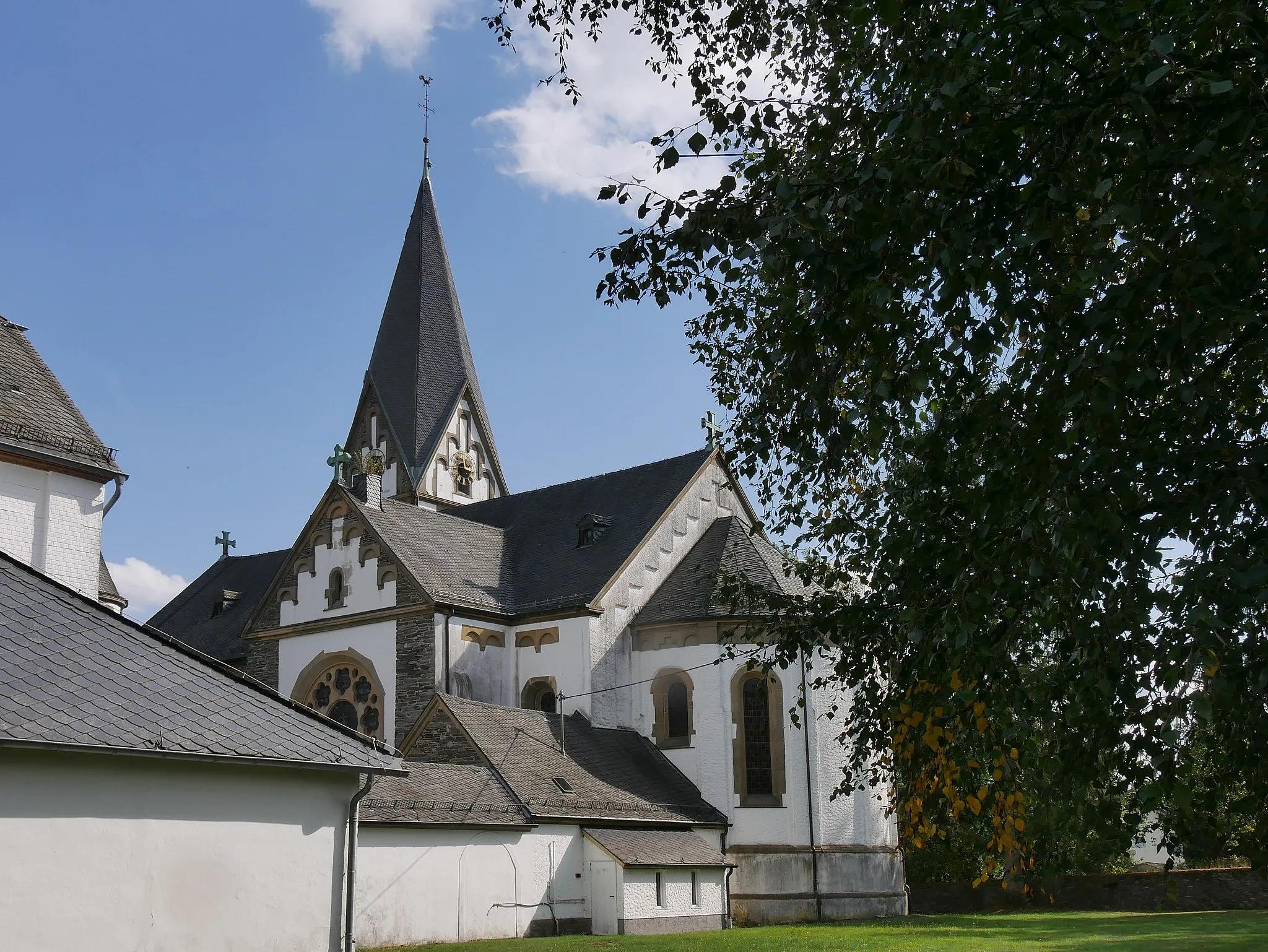
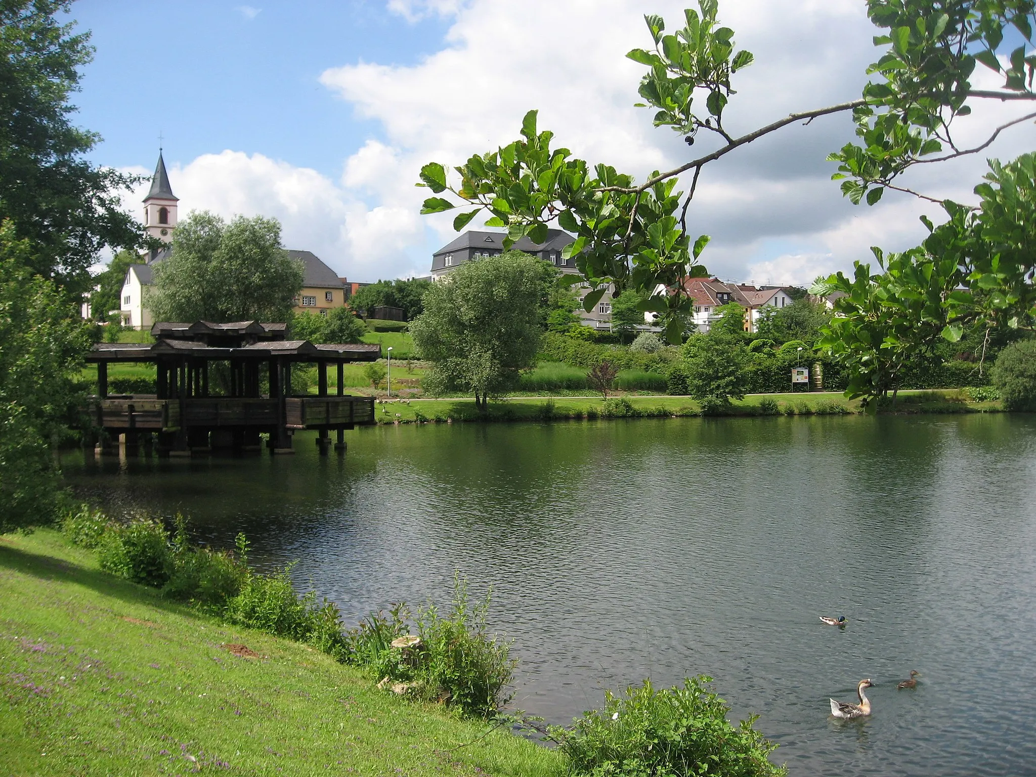
Start: Hermeskeil City centerHermeskeil: Cycling heaven in Trier, Germany
Hermeskeil, located in Trier, Germany, is a cyclist's paradise with its diverse terrain and well-developed cycling infrastructure. The region offers a range of cycling routes, from flat paths along the scenic Moselle River to challenging climbs in the nearby Hunsrück Mountains. With its picturesque landscapes and numerous cycling-friendly amenities, Hermeskeil is an excellent choice for road and gravel cyclists. Notable cycling spots include the Saar-Hunsrück-Steig trail and the famous Müllerthal Trail. Whether you are a leisure cyclist or a seasoned rider, Hermeskeil has something to offer for everyone.0 km
0 km
HermeskeilTownHermeskeil is the starting point of this gravel adventure. As a small town nestled in the hills of Germany, Hermeskeil offers a picturesque setting to begin your ride.
11 km
11 km
Ruppelstein762 mPeakRuppelstein, situated approximately 11km into the route, is a historic castle ruin that serves as a scenic highlight. Cyclists can take a break here and enjoy the views.
20 km
20 km
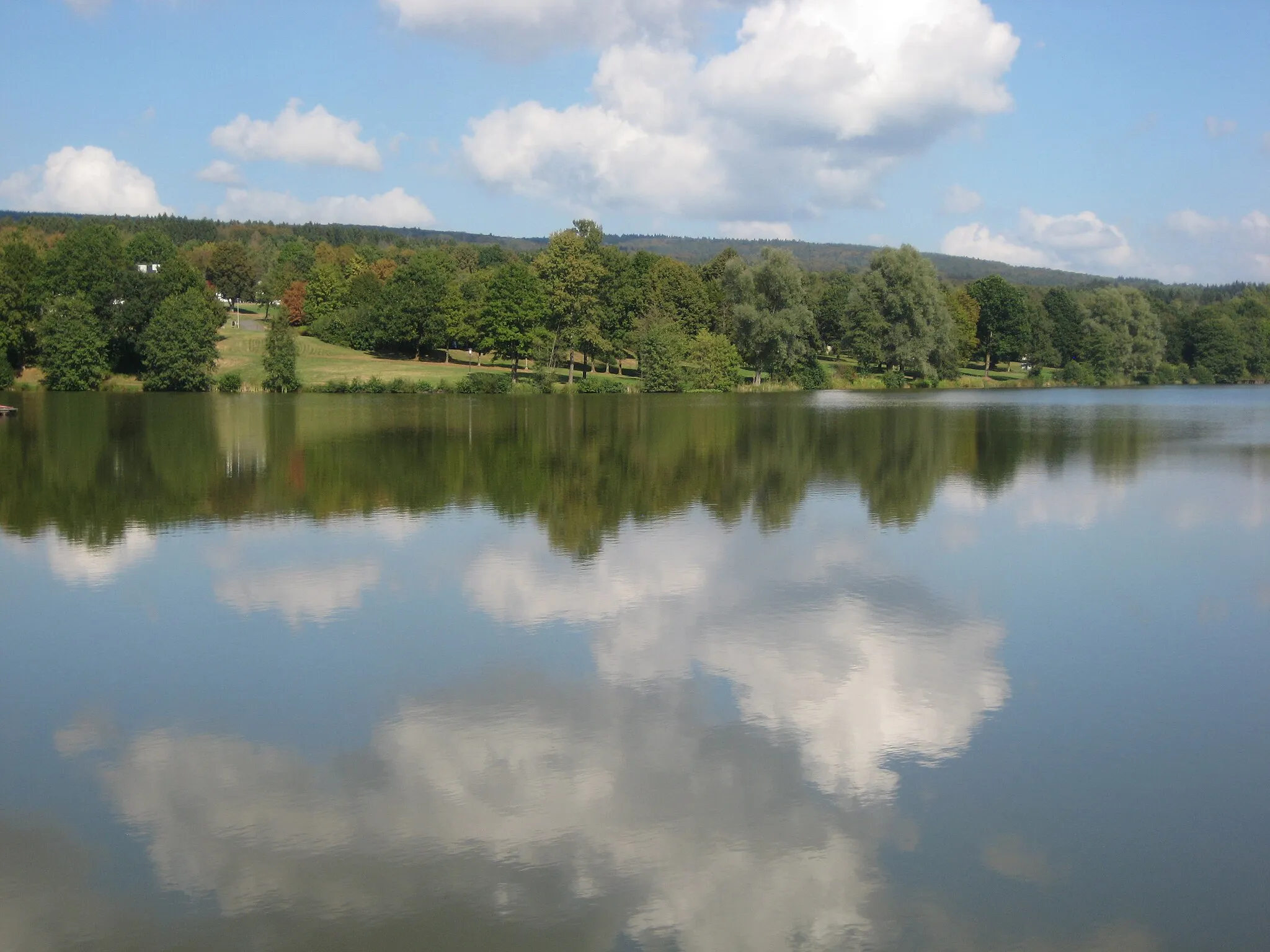
RinzenbergVillageRinzenberg is a picturesque hill known for its beautiful views. As you cycle by, take a moment to admire the natural beauty of the surroundings.
32 km
32 km
Steinerner Mann490 mPeakSteinerner Mann, located at a distance of 32km, is a rock formation that resembles a human figure. This unique feature adds a touch of intrigue to the route.
43 km
43 km
Heidenkopf510 mPeakHeidenkopf, located at the 43km mark, boasts panoramic views over the surrounding countryside. Stop here and take in the breathtaking scenery.
50 km
50 km
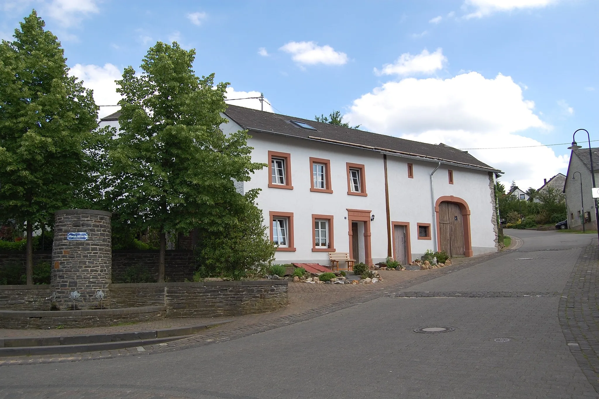
SöternSub-urbSötern is a small village along the route that offers a glimpse into rural life in Germany. Although not a major highlight, it provides a charming atmosphere.
57 km
57 km
Keltischer RingwallAttractionKeltischer Ringwall is an ancient Celtic hill fort that showcases the region's historical significance. History buffs may enjoy exploring this archaeological site.
59 km
59 km
Kahlenberg564 mPeakKahlenberg, located at the 59km mark, offers panoramic views of the surrounding landscape. This viewpoint is perfect for capturing stunning photographs.
67 km
67 km
Finish: Hermeskeil City centerHermeskeil: Cycling heaven in Trier, Germany
Cycling routes from Hermeskeil:
Scenic Gravel Ride around Hermeskeil Hermeskeil - Longuich Loop Hermeskeil - Neuhütten Loop Challenging Gravel Ride to Baldringen Explore Berlin on Wheels: Hermeskeil Road Trip Nature's Oasis: Hermeskeil Gravel Adventure The Hiking and Cycling Route of Hermeskeil Hermeskeil to Nonnweiler Loop Off-road Adventure: Hermeskeil to Nonnweiler Gravel Ride Hermeskeil to Züsch Thrilling Ride Gravel Delights Road Discoveries The Scenic Loop The Gravel Adventure
Cycling routes nearby: