Challenging Gravel Ride to Baldringen
A gravel cycling route starting from Hermeskeil
Embark on a challenging gravel ride and conquer the steep ascent to Baldringen.
Map
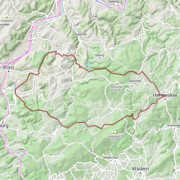
Get ready for a thrilling gravel biking adventure to Baldringen from Hermeskeil. This 77-kilometer route offers an elevation gain of 1742 meters, making it a difficult but rewarding challenge for experienced gravel riders. The route encompasses diverse terrain, including forest trails and scenic countryside roads, providing a truly unique and epic cycling experience.
gravel
77 km
1742 m
Savage
Route profile
Highlights on the route
0 km
0 km
Start: Hermeskeil City centerHermeskeil: Cycling heaven in Trier, Germany
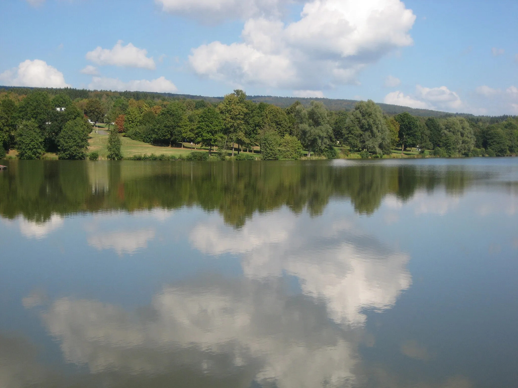
Hermeskeil, located in Trier, Germany, is a cyclist's paradise with its diverse terrain and well-developed cycling infrastructure. The region offers a range of cycling routes, from flat paths along the scenic Moselle River to challenging climbs in the nearby Hunsrück Mountains. With its picturesque landscapes and numerous cycling-friendly amenities, Hermeskeil is an excellent choice for road and gravel cyclists. Notable cycling spots include the Saar-Hunsrück-Steig trail and the famous Müllerthal Trail. Whether you are a leisure cyclist or a seasoned rider, Hermeskeil has something to offer for everyone.0 km
0 km
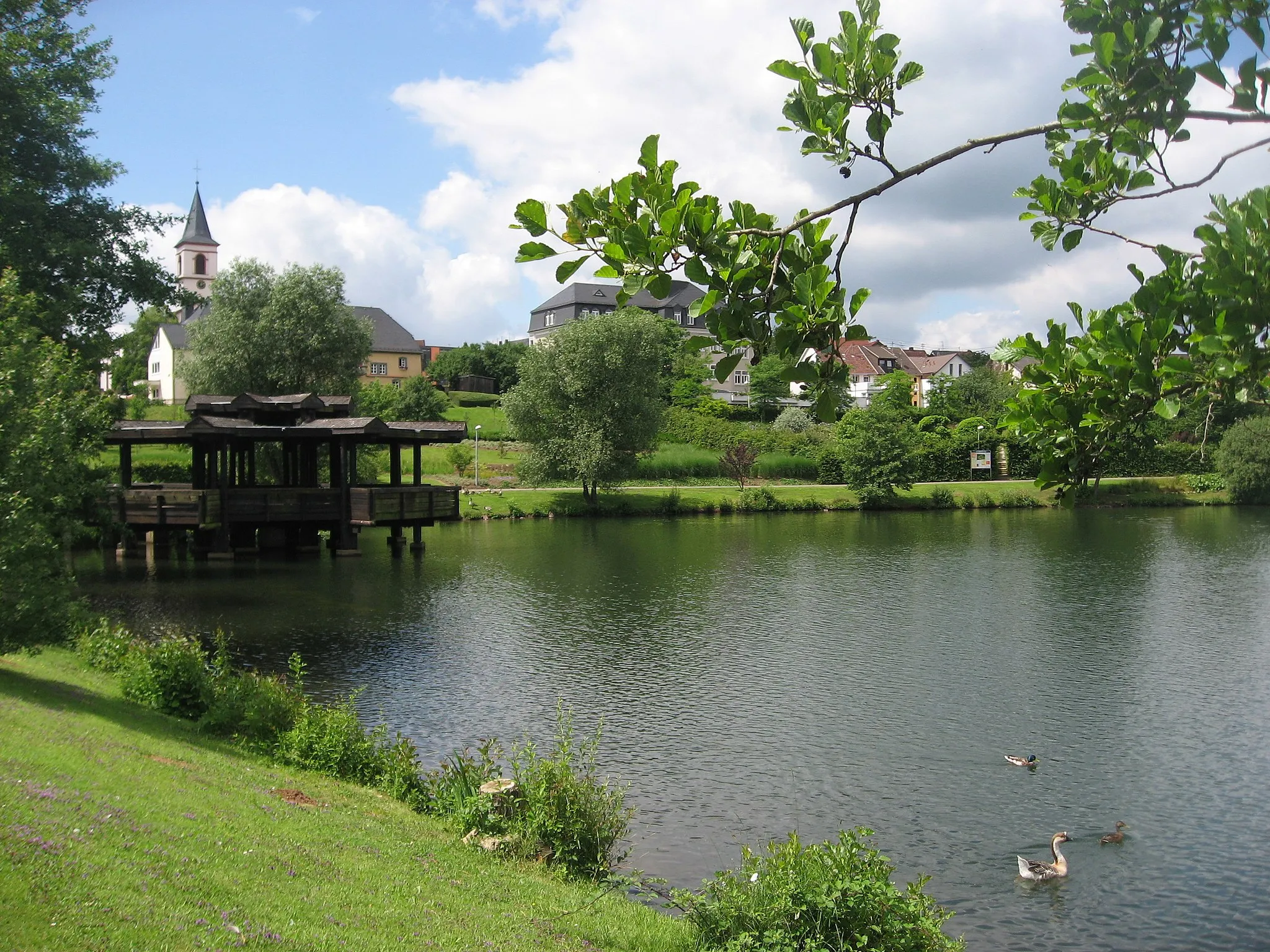
HermeskeilTownHermeskeil is the starting and ending point of this route. Explore its charming old town and visit the Hermeskeil Air Museum for a unique experience.
8 km
8 km
Hasenknopf497 mPeakHasenknopf is a forested hill with winding trails, creating a sense of adventure and exploration. Challenge yourself as you ride through this stunning natural area.
27 km
27 km
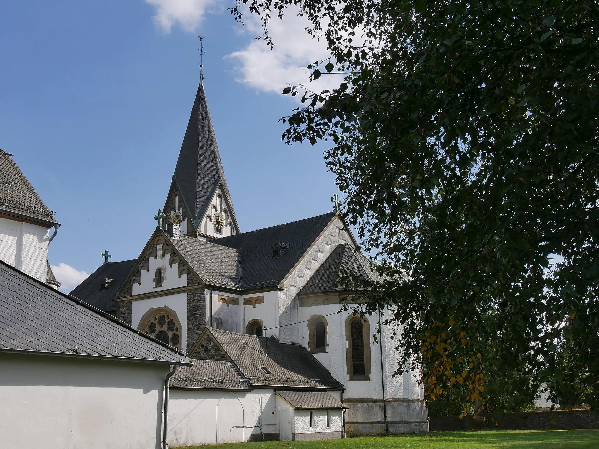
BaldringenVillageBaldringen is a small village nestled amidst rolling hills. Its serene atmosphere provides a perfect setting for a rest and offers stunning panoramic views.
37 km
37 km
WiltingenVillageWiltingen is a wine village known for its steep vineyard slopes. Admire the vineyard terraces as you ascend and enjoy the rewarding descent.
39 km
39 km
GalgenbergViewpointGalgenberg is a hill offering panoramic views of the entire region. Take a moment to appreciate the breathtaking landscapes before continuing your journey.
53 km
53 km
Kuppensteiner Wild427 mPeakKuppensteiner Wild is a nature reserve renowned for its diverse flora and fauna. Keep an eye out for wildlife as you pass through this picturesque area.
54 km
54 km
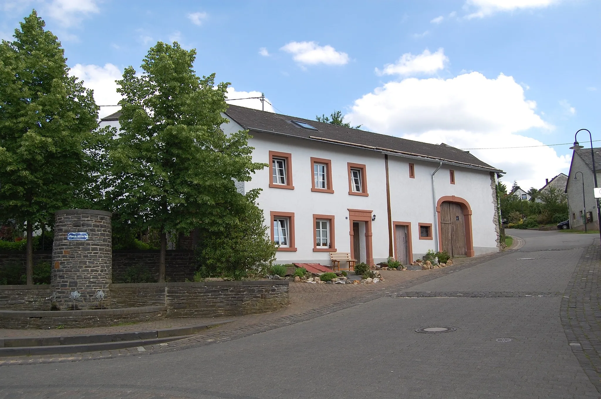
GutweilerVillageGutweiler is a charming village with traditional timber-framed houses. Take a break and stroll along the village's peaceful streets.
73 km
73 km
HöfchenSub-urbHöfchen is a idyllic hamlet surrounded by forests and magnificent natural landscapes. Immerse yourself in nature's tranquility.
77 km
77 km
Finish: Hermeskeil City centerHermeskeil: Cycling heaven in Trier, Germany
Cycling routes from Hermeskeil:
Scenic Gravel Ride around Hermeskeil Hermeskeil - Longuich Loop Hermeskeil - Neuhütten Loop Challenging Gravel Ride to Baldringen Explore Berlin on Wheels: Hermeskeil Road Trip Nature's Oasis: Hermeskeil Gravel Adventure The Hiking and Cycling Route of Hermeskeil Hermeskeil to Nonnweiler Loop Off-road Adventure: Hermeskeil to Nonnweiler Gravel Ride Hermeskeil to Züsch Thrilling Ride Gravel Delights Road Discoveries The Scenic Loop The Gravel Adventure
Cycling routes nearby: