Nature's Oasis: Hermeskeil Gravel Adventure
A gravel cycling route starting from Hermeskeil
Escape to nature's oasis on this thrilling gravel adventure from Hermeskeil.
Map

Immerse yourself in the beauty of nature with this thrilling gravel adventure from Hermeskeil. Covering a distance of 40 kilometers and encompassing an ascent of 827 meters, this route offers the perfect combination of excitement and tranquility. Highlights along the route include Hinzert, Moosberg, Naurath (Wald), Hohe Wurzel, and Höfchen. The difficulty level of this route is rated at 2 out of 5, making it suitable for intermediate cyclists.
gravel
40 km
827 m
Chill
Route profile
Highlights on the route
0 km
0 km
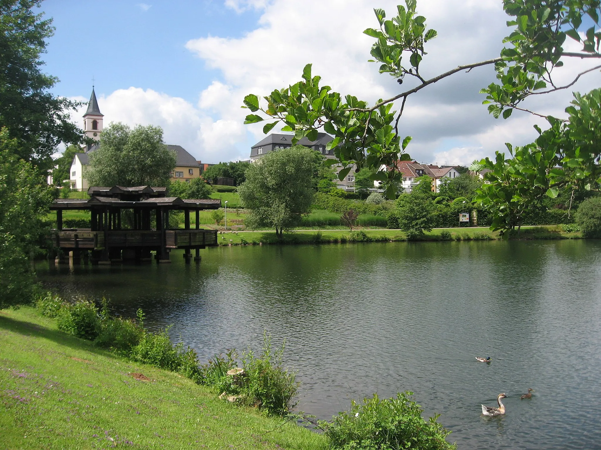
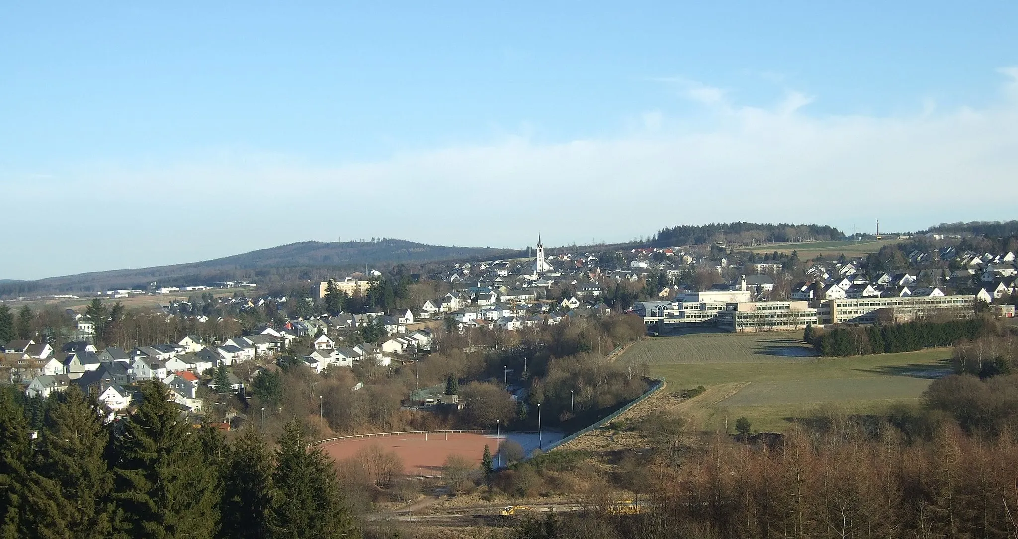
Start: Hermeskeil City centerHermeskeil: Cycling heaven in Trier, Germany
Hermeskeil, located in Trier, Germany, is a cyclist's paradise with its diverse terrain and well-developed cycling infrastructure. The region offers a range of cycling routes, from flat paths along the scenic Moselle River to challenging climbs in the nearby Hunsrück Mountains. With its picturesque landscapes and numerous cycling-friendly amenities, Hermeskeil is an excellent choice for road and gravel cyclists. Notable cycling spots include the Saar-Hunsrück-Steig trail and the famous Müllerthal Trail. Whether you are a leisure cyclist or a seasoned rider, Hermeskeil has something to offer for everyone.8 km
8 km
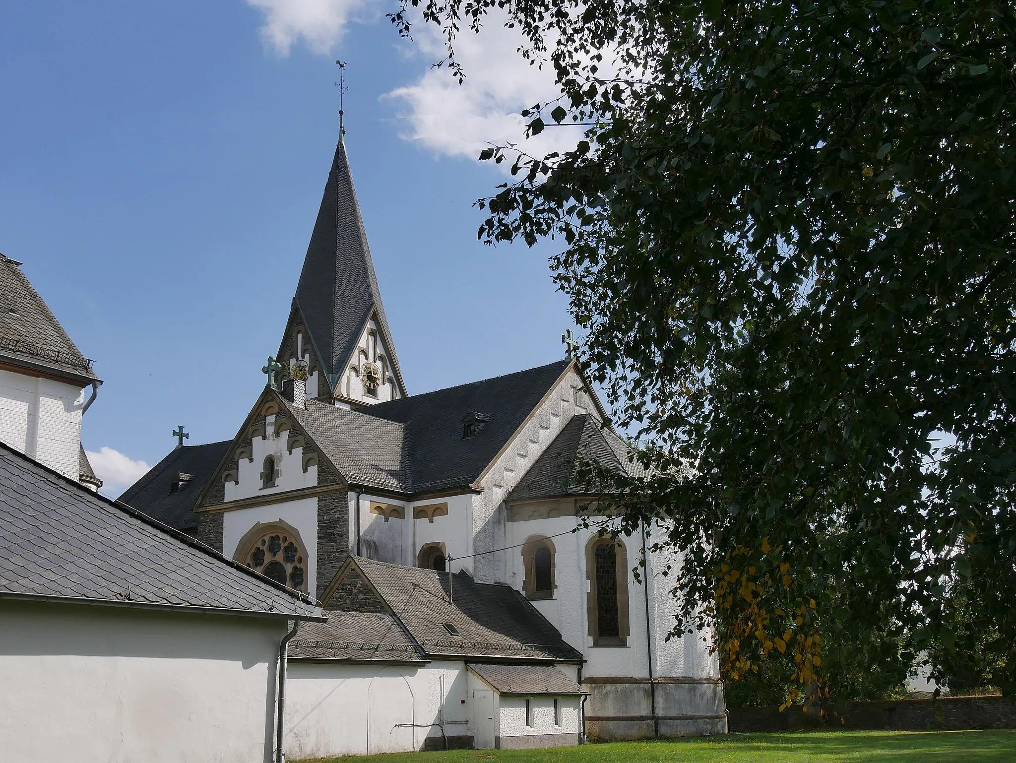
HinzertVillageHinzert, just 8 kilometers into the route, welcomes you with its idyllic landscapes and tranquil atmosphere.
14 km
14 km
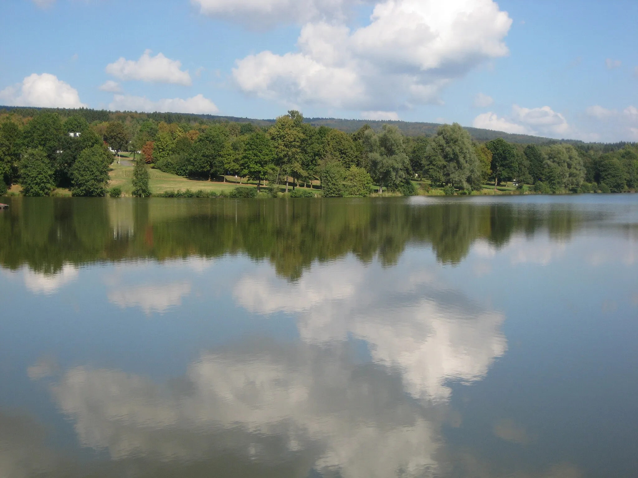
Moosberg435 mPeakMoosberg, at 14 kilometers, offers a delightful pause as you admire its natural beauty.
21 km
21 km
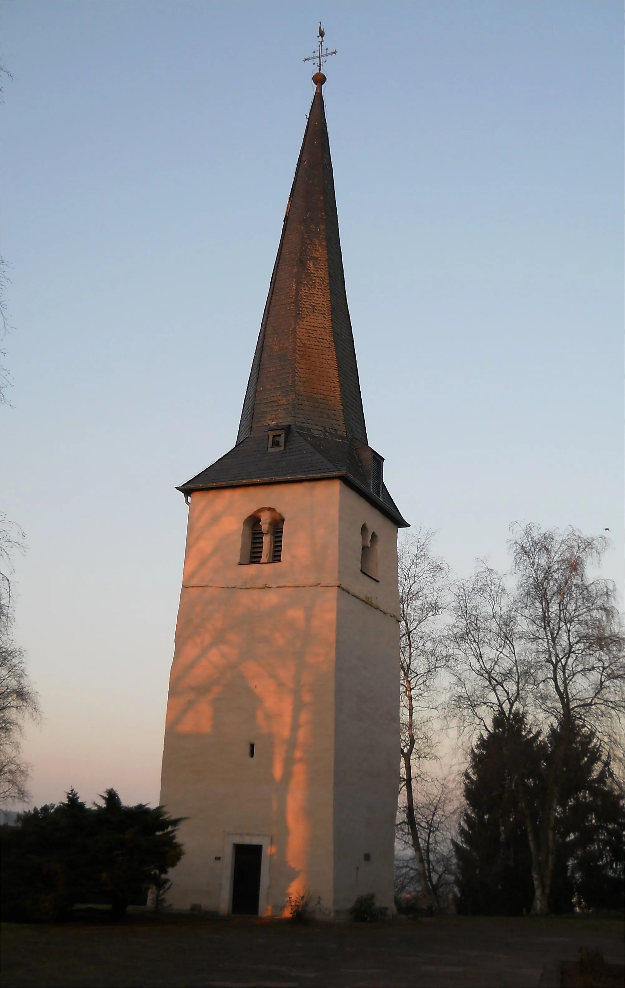
Naurath (Wald)VillageLocated at 21 kilometers, Naurath (Wald) embraces you with its lush greenery and peaceful ambiance.
29 km
29 km
Hohe Wurzel669 mPeakDiscover the magnificence of Hohe Wurzel at 29 kilometers, where nature's wonders abound.
36 km
36 km
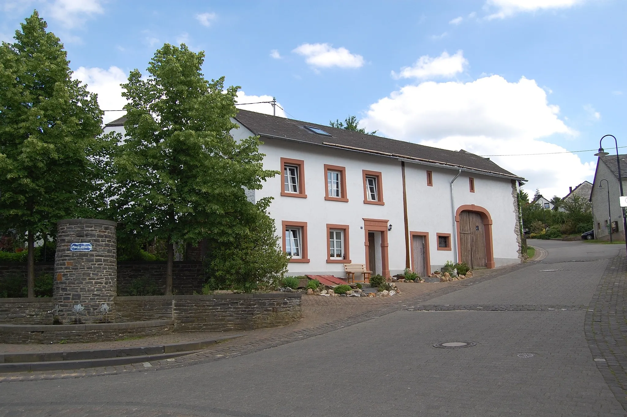
HöfchenSub-urbHöfchen awaits at 36 kilometers, ready to captivate you with its serene surroundings.
40 km
40 km
Finish: Hermeskeil City centerHermeskeil: Cycling heaven in Trier, Germany
Cycling routes from Hermeskeil:
Scenic Gravel Ride around Hermeskeil Hermeskeil - Longuich Loop Hermeskeil - Neuhütten Loop Challenging Gravel Ride to Baldringen Explore Berlin on Wheels: Hermeskeil Road Trip Nature's Oasis: Hermeskeil Gravel Adventure The Hiking and Cycling Route of Hermeskeil Hermeskeil to Nonnweiler Loop Off-road Adventure: Hermeskeil to Nonnweiler Gravel Ride Hermeskeil to Züsch Thrilling Ride Gravel Delights Road Discoveries The Scenic Loop The Gravel Adventure
Cycling routes nearby: