Gravel Escape
A gravel cycling route starting from Thalfang
Escape into nature on this scenic gravel route
Map
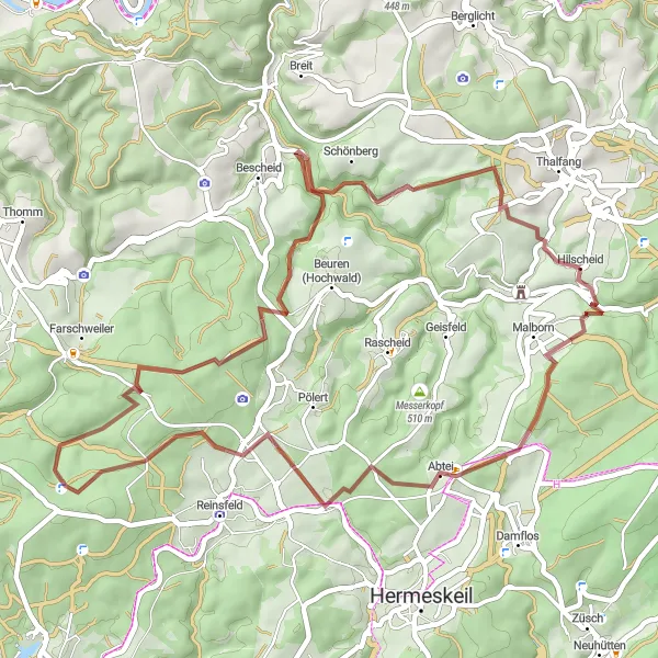
Escape into the tranquility of nature with this scenic gravel route near Thalfang. With a total ascent of 987 meters over a distance of 48 kilometers, this route is suitable for gravel enthusiasts looking for a moderate challenge. Highlights include the stunning Steinkopf, the majestic Hohe Wurzel, the idyllic Moosberg, and the charming village of Hilscheid.
gravel
48 km
987 m
Chill
Route profile
Highlights on the route
0 km
0 km
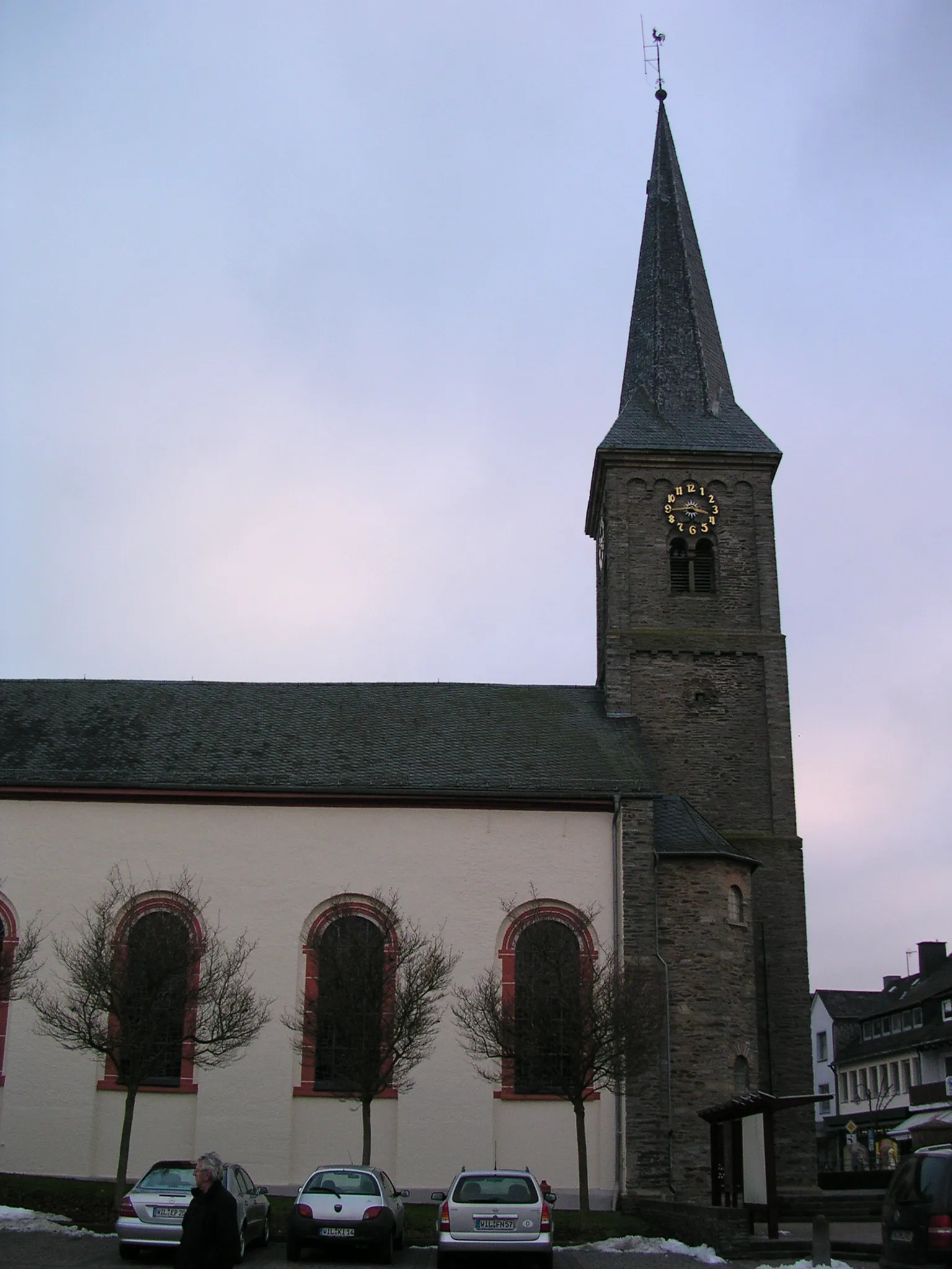
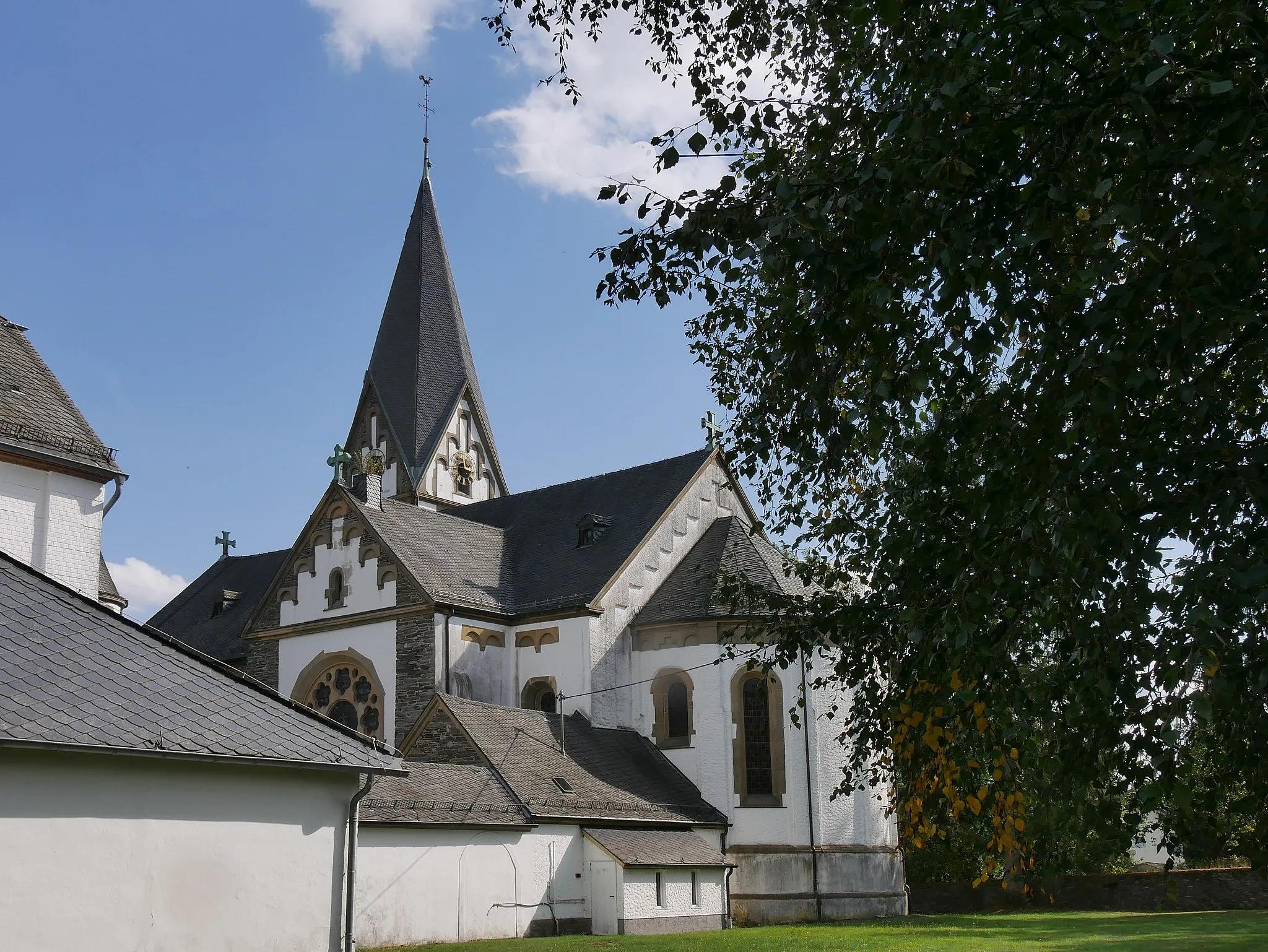
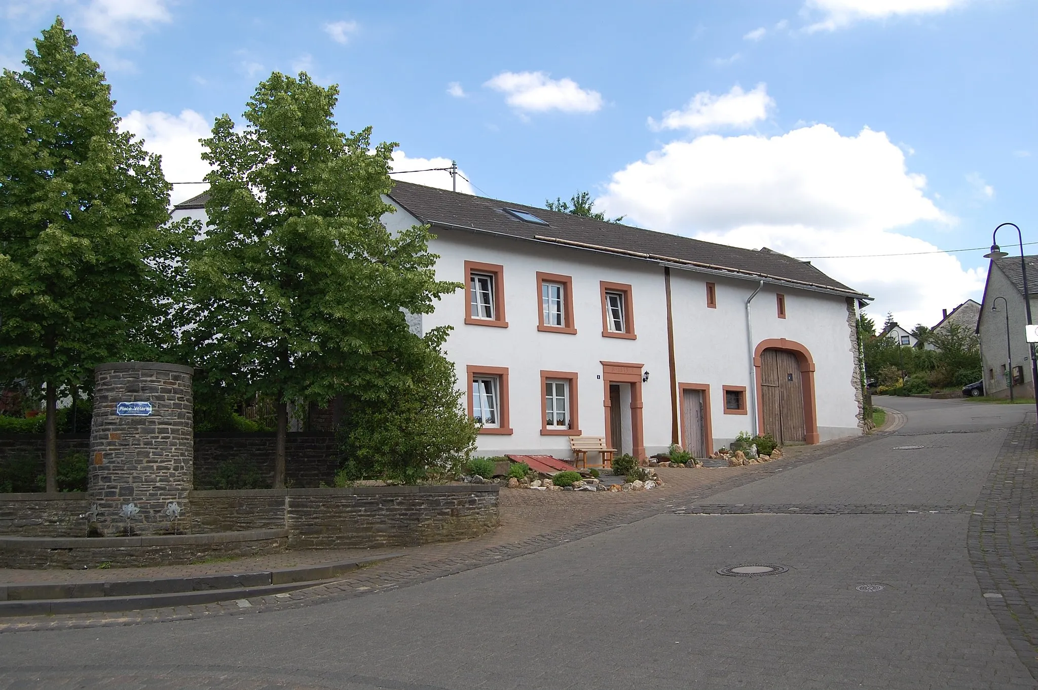
Start: Hilscheid Village centerThalfang: Explore Thalfang's natural beauty on two wheels.
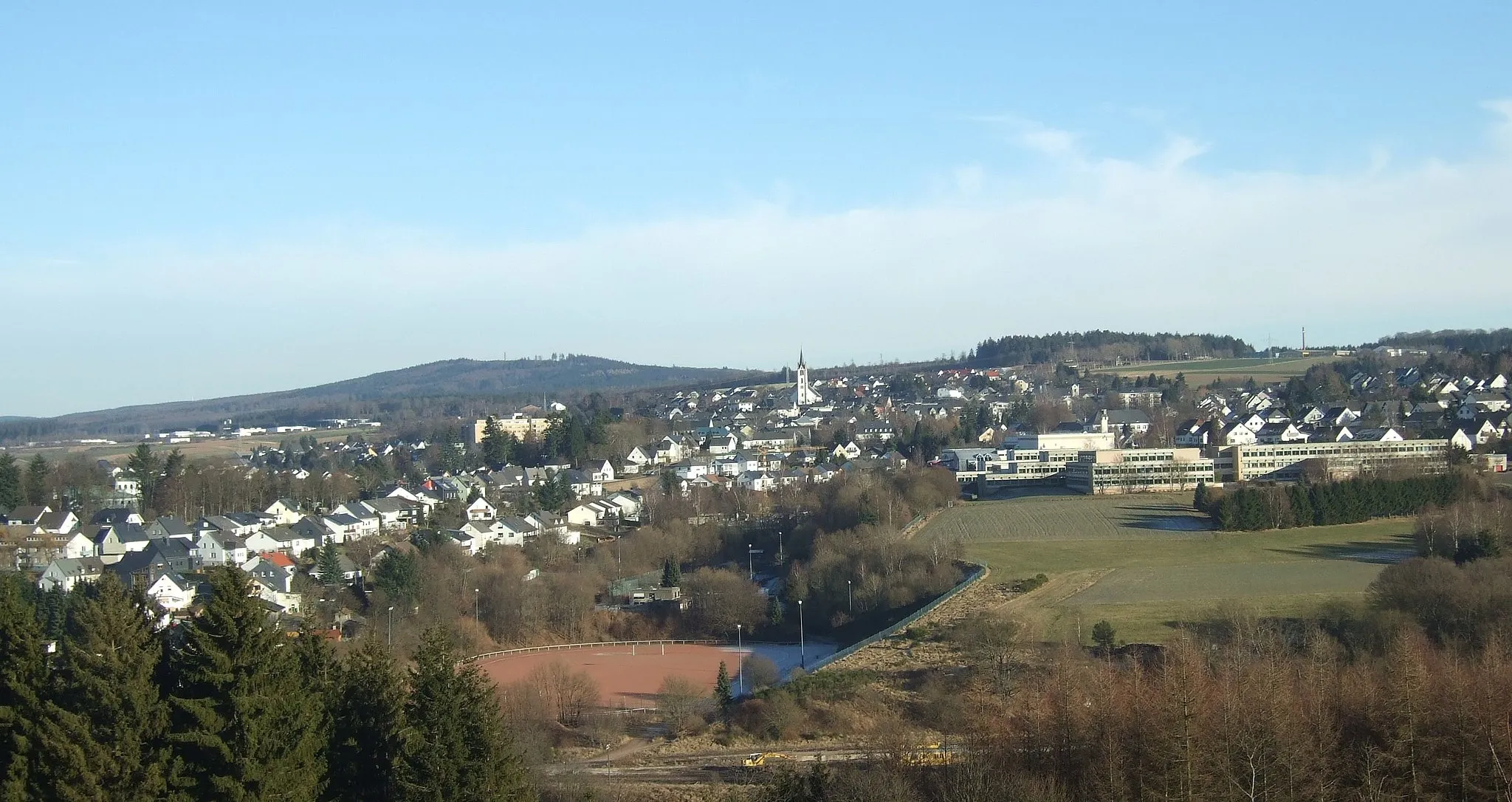
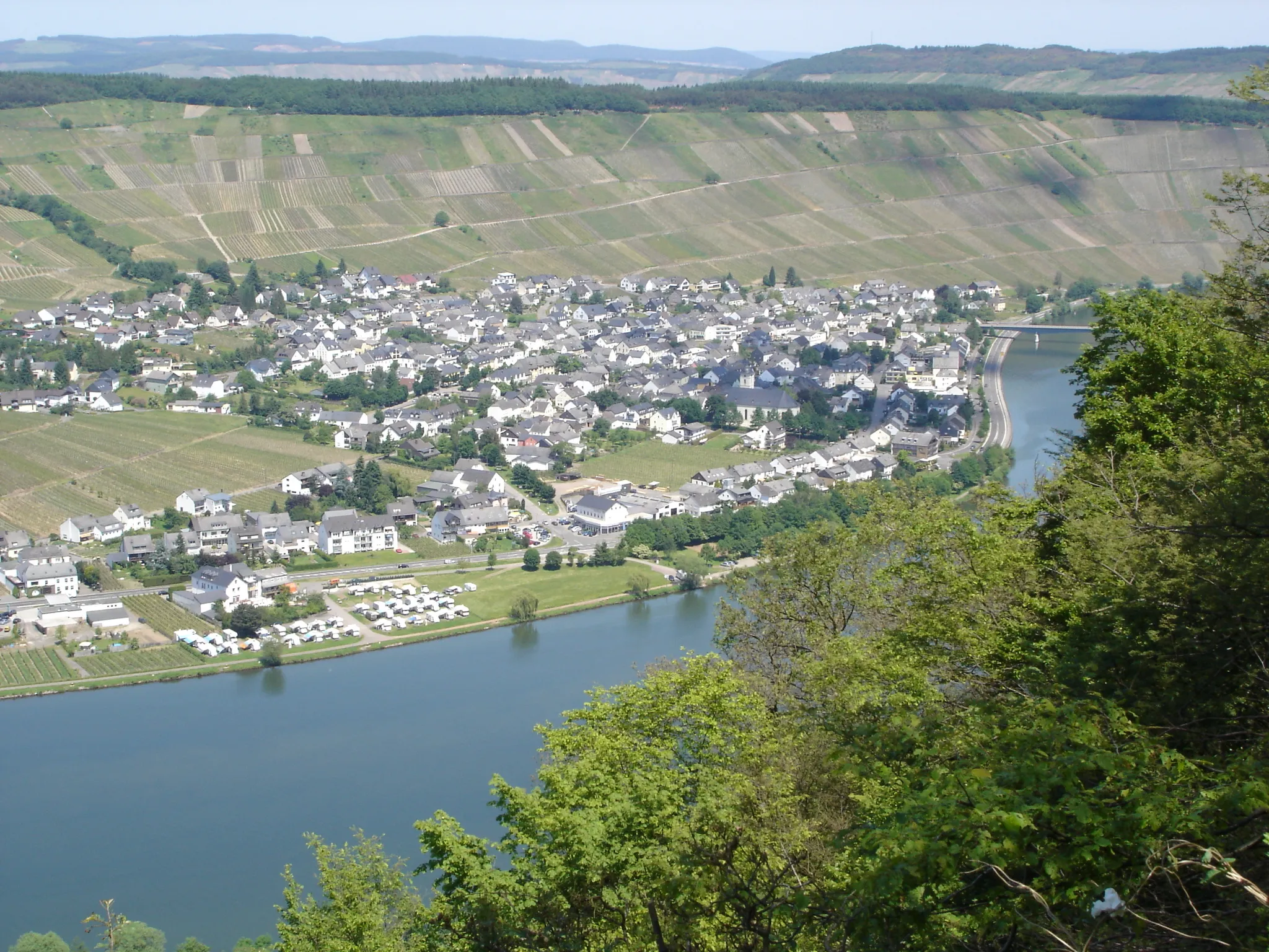
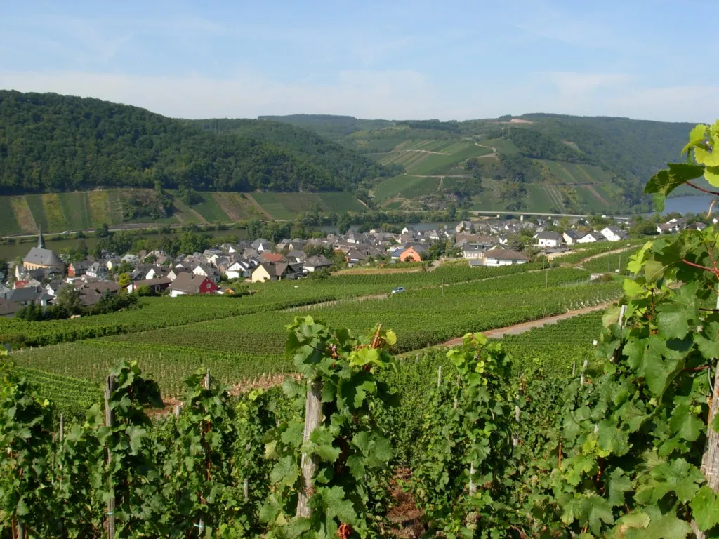
Thalfang, located in Trier, Germany, is a perfect destination for road and gravel cyclists looking to immerse themselves in nature. The area offers a variety of cycling routes, ranging from serene forest trails to challenging climbs. Cyclists can enjoy panoramic views of the Mosel Valley and ride through picturesque vineyards. While Thalfang does not have any famous cycling-related spots or well-known climbs, it provides a peaceful and scenic environment for riders. With its cyclist-friendly amenities and beautiful landscapes, Thalfang ranks 3 on the cyclist perspective scale.3 km
3 km
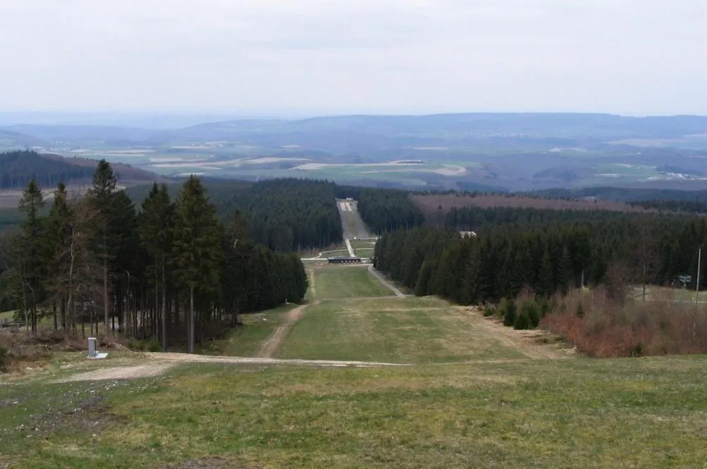
Steinkopf683 mPeakSteinkopf, situated at 3 kilometers on the route, is a mountain known for its unique rock formations and spectacular views of the surrounding landscapes.
28 km
28 km
Hohe Wurzel669 mPeakHohe Wurzel, located at 28 kilometers on the route, is a prominent mountain with lush forests and delightful hiking trails.
35 km
35 km
Moosberg435 mPeakMoosberg, situated at 35 kilometers on the route, is a natural area of outstanding beauty with diverse flora and fauna.
48 km
48 km
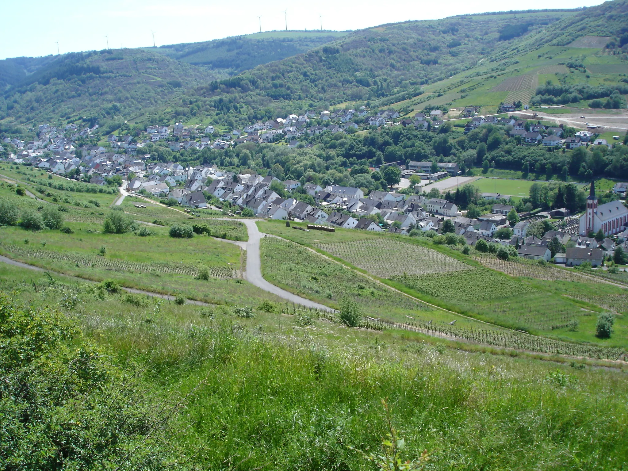
HilscheidVillageHilscheid, located at 48 kilometers on the route, is a charming village surrounded by idyllic countryside and scenic landscapes.
48 km
48 km
Finish: Hilscheid Village centerThalfang: Explore Thalfang's natural beauty on two wheels.
Cycling routes nearby: