Mountain Challenge
A road cycling route starting from Thalfang
A challenging road cycling route with spectacular mountain views
Map

Embark on a mountainous adventure with this challenging road cycling route near Thalfang. With a total ascent of 1893 meters over a distance of 103 kilometers, this route is suitable for experienced cyclists seeking a test of endurance. Highlights include the majestic Burg Dhronecken, the scenic Schankelberg, the panoramic Wachtelkopf, the picturesque village of Mitlosheim, the historic town of Britten, and the stunning landscapes of Judenkopf and Hahnenberg.
road
103 km
1893 m
Savage
Route profile
Highlights on the route
0 km
0 km
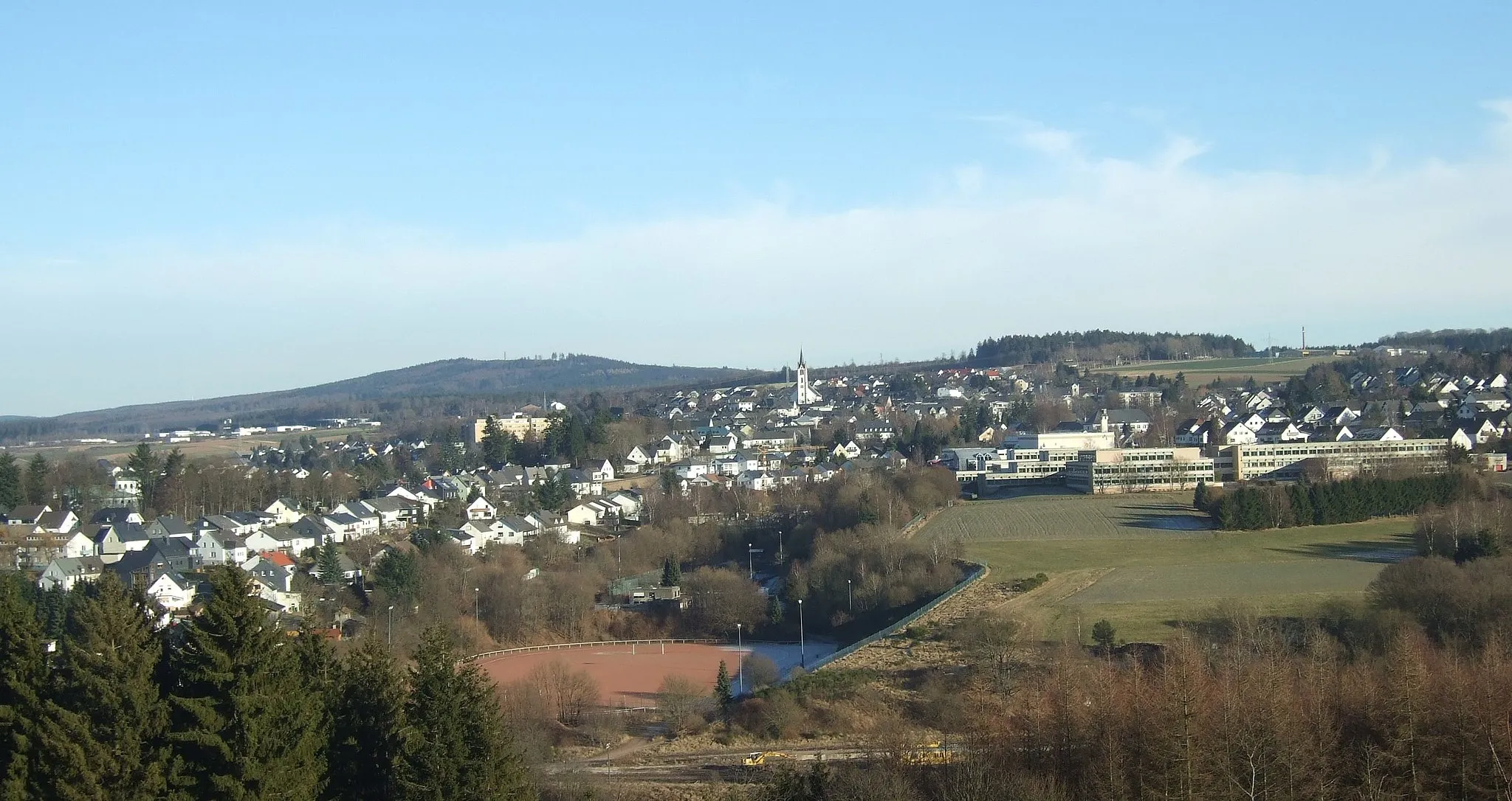
Start: Thalfang Village centerThalfang: Explore Thalfang's natural beauty on two wheels.
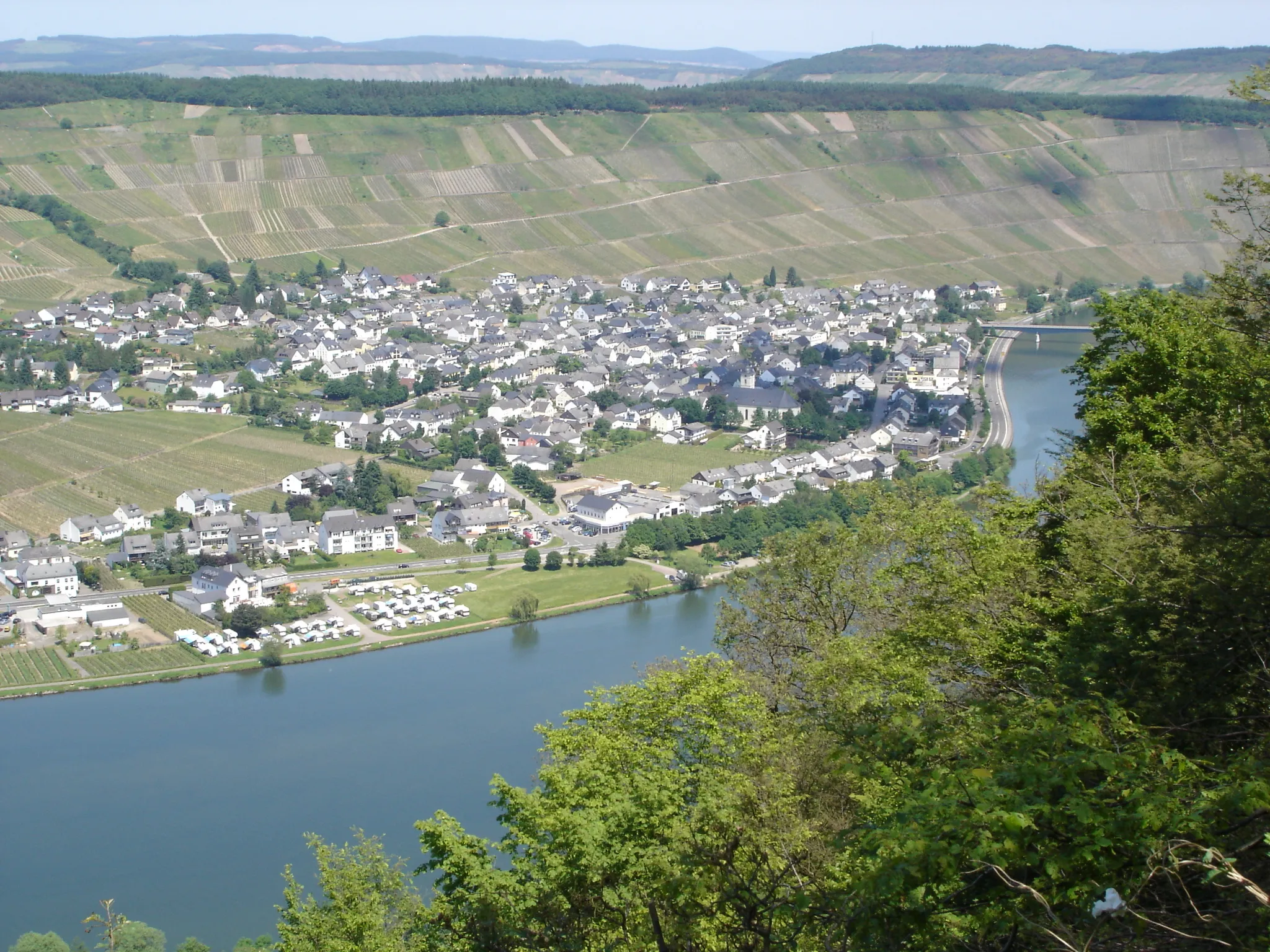
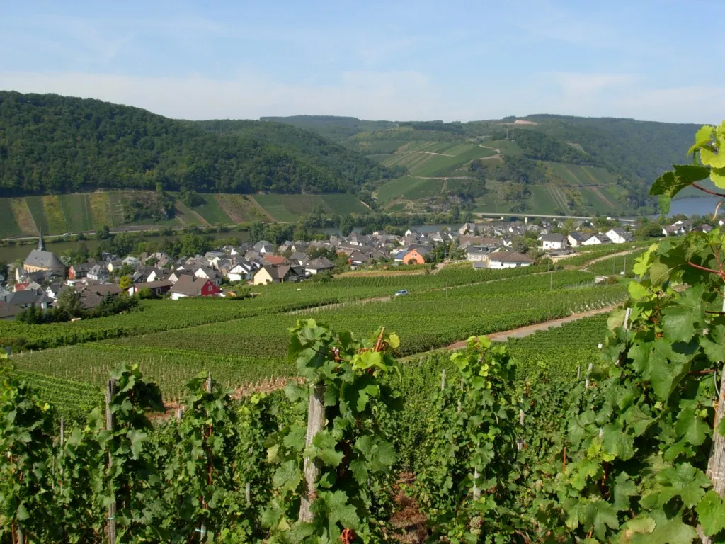
Thalfang, located in Trier, Germany, is a perfect destination for road and gravel cyclists looking to immerse themselves in nature. The area offers a variety of cycling routes, ranging from serene forest trails to challenging climbs. Cyclists can enjoy panoramic views of the Mosel Valley and ride through picturesque vineyards. While Thalfang does not have any famous cycling-related spots or well-known climbs, it provides a peaceful and scenic environment for riders. With its cyclist-friendly amenities and beautiful landscapes, Thalfang ranks 3 on the cyclist perspective scale.3 km
3 km
Burg DhroneckenCastleBurg Dhronecken, located at 3 kilometers on the route, is a medieval castle ruin perfect for a brief stop and a photo opportunity.
17 km
17 km
Schankelberg549 mPeakSchankelberg, situated at 17 kilometers on the route, offers mesmerizing views of the surrounding valleys and forests.
35 km
35 km
Wachtelkopf371 mPeakWachtelkopf, located at 35 kilometers on the route, is a hill known for its breathtaking panoramic views and natural beauty.
38 km
38 km
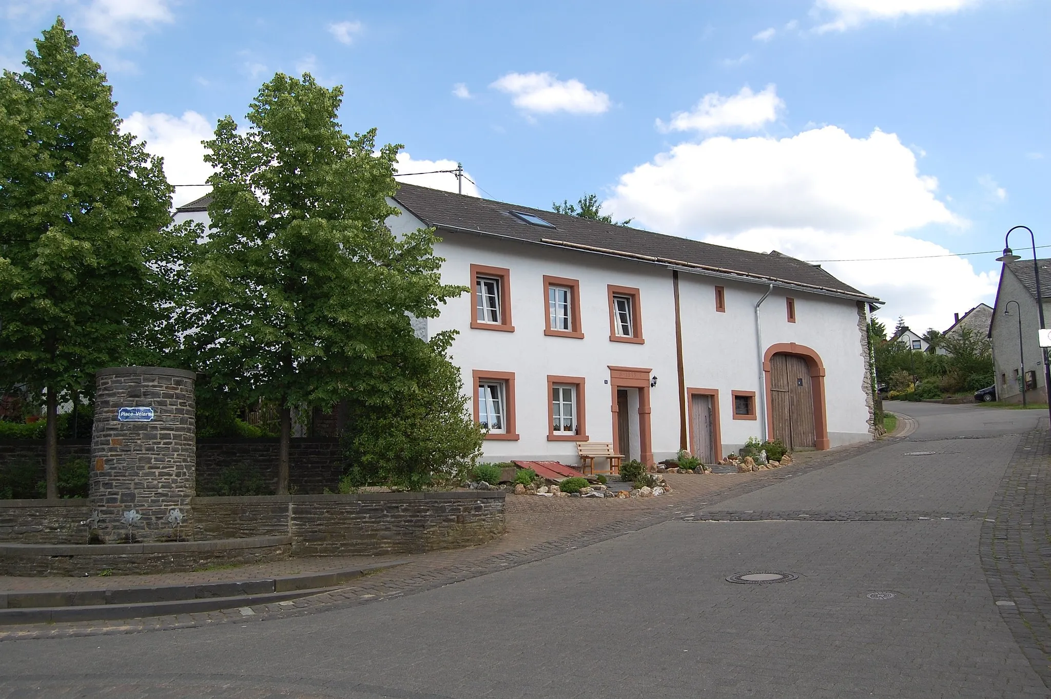
MitlosheimSub-urbMitlosheim, situated at 38 kilometers on the route, is a picturesque village with traditional half-timbered houses and charming streets.
48 km
48 km
BrittenVillageBritten, located at 48 kilometers on the route, is a historic town with well-preserved architecture and an interesting cultural heritage.
51 km
51 km
Judenkopf517 mPeakJudenkopf, situated at 51 kilometers on the route, provides cyclists with spectacular views of the surrounding mountains and valleys.
74 km
74 km
Romika-WegViewpointUnfortunately, there is no information available about Romika-Weg.
75 km
75 km
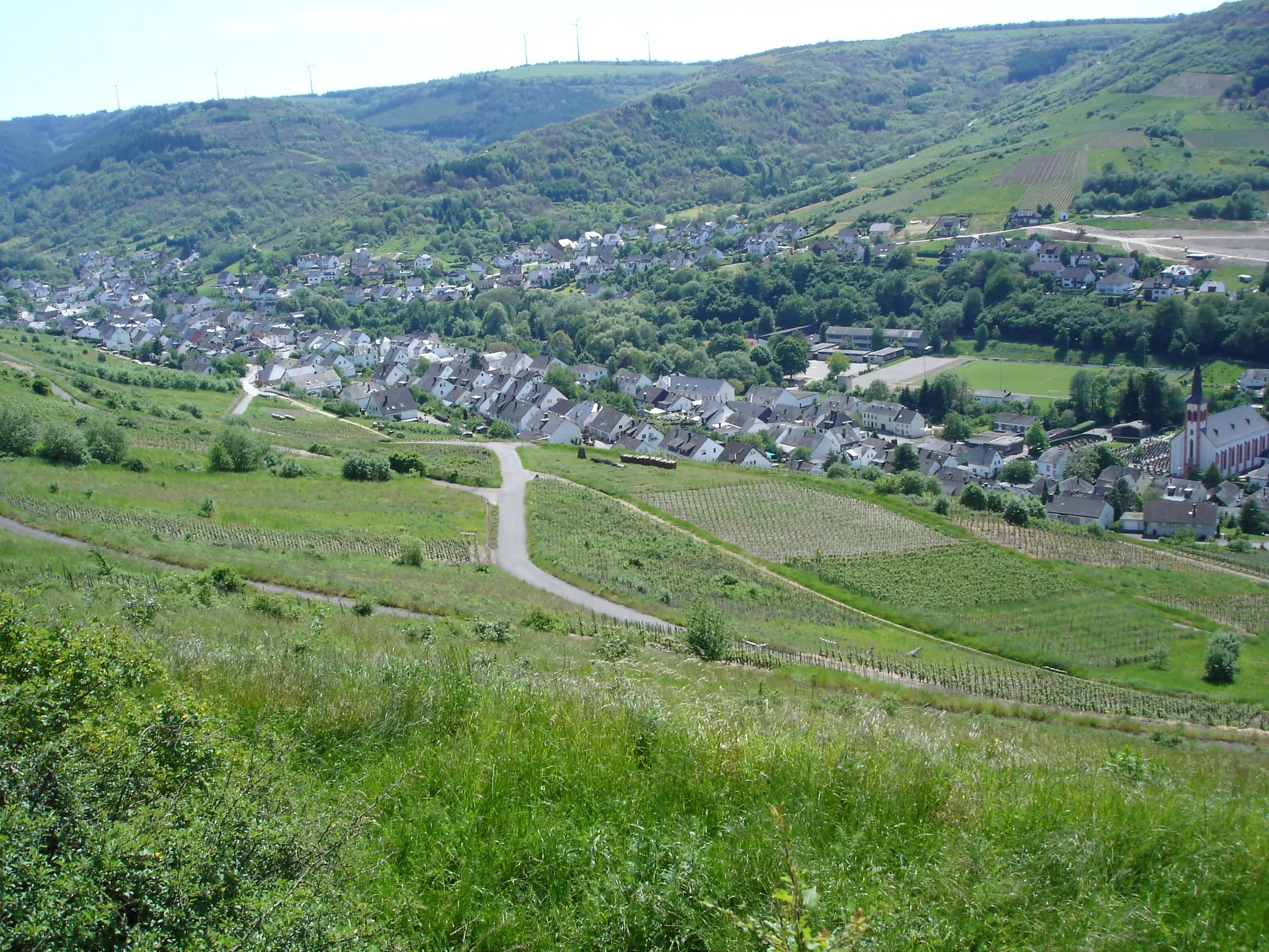
SommerauHamletSommerau, located at 75 kilometers on the route, is a scenic area known for its serene landscapes and charming countryside.
85 km
85 km
FellVillageFell, situated at 85 kilometers on the route, is a tranquil village featuring traditional architecture and stunning natural surroundings.
86 km
86 km
Hahnenberg408 mPeakHahnenberg, located at 86 kilometers on the route, offers sweeping views of the Thalfang region and is perfect for a relaxing break.
97 km
97 km
Naturdenkmal KugelbaumViewpointUnfortunately, there is no information available about Naturdenkmal Kugelbaum.
103 km
103 km
ThalfangVillageThalfang, the starting and ending point of the route, is a picturesque village surrounded by rolling hills and enchanting landscapes.
103 km
103 km
Finish: Thalfang Village centerThalfang: Explore Thalfang's natural beauty on two wheels.
Cycling routes nearby: