Landshut Castle Loop
A road cycling route starting from Thalfang
A scenic route with a challenging climb to Burg Landshut
Map
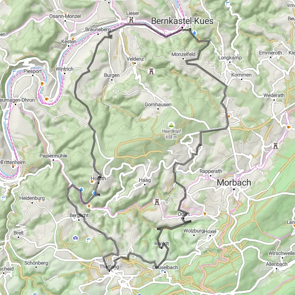
This road cycling route takes you on a scenic journey through the countryside of Thalfang and includes a challenging climb to Burg Landshut. With a total ascent of 1368 meters over a distance of 71 kilometers, this route provides a good workout for experienced cyclists. Discover the beauty of the Kaiserstuhl and Schackberg along the way.
road
71 km
1368 m
Tough
Route profile
Highlights on the route
0 km
0 km
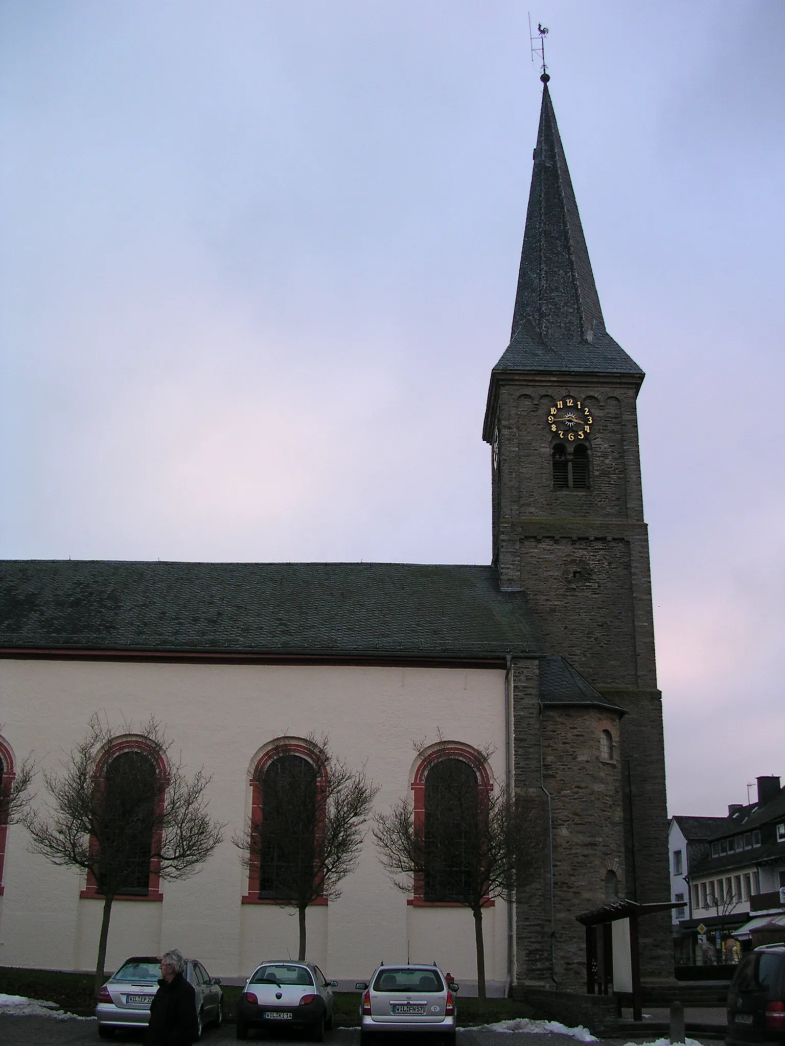
Start: Thalfang Village centerThalfang: Explore Thalfang's natural beauty on two wheels.
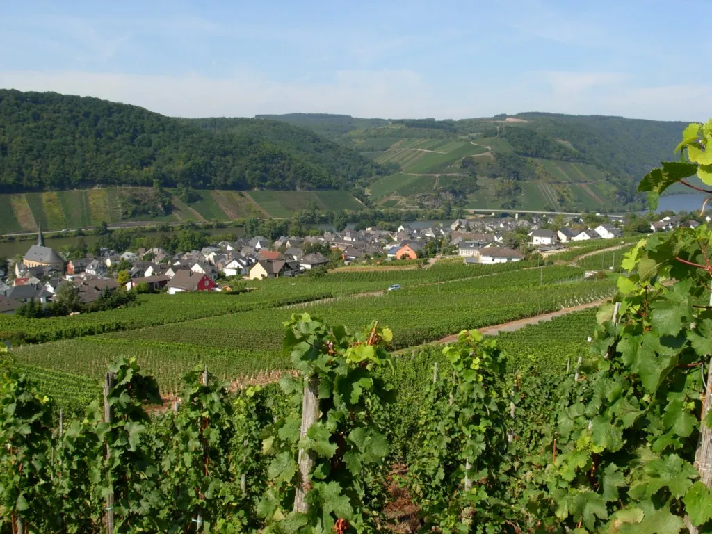
Thalfang, located in Trier, Germany, is a perfect destination for road and gravel cyclists looking to immerse themselves in nature. The area offers a variety of cycling routes, ranging from serene forest trails to challenging climbs. Cyclists can enjoy panoramic views of the Mosel Valley and ride through picturesque vineyards. While Thalfang does not have any famous cycling-related spots or well-known climbs, it provides a peaceful and scenic environment for riders. With its cyclist-friendly amenities and beautiful landscapes, Thalfang ranks 3 on the cyclist perspective scale.34 km
34 km
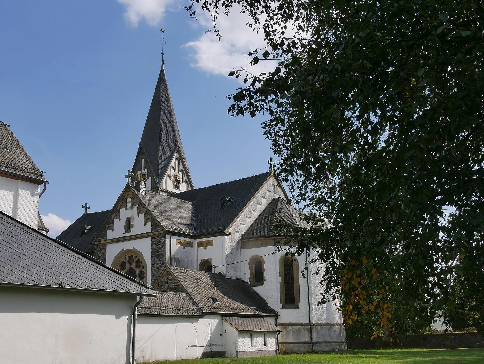
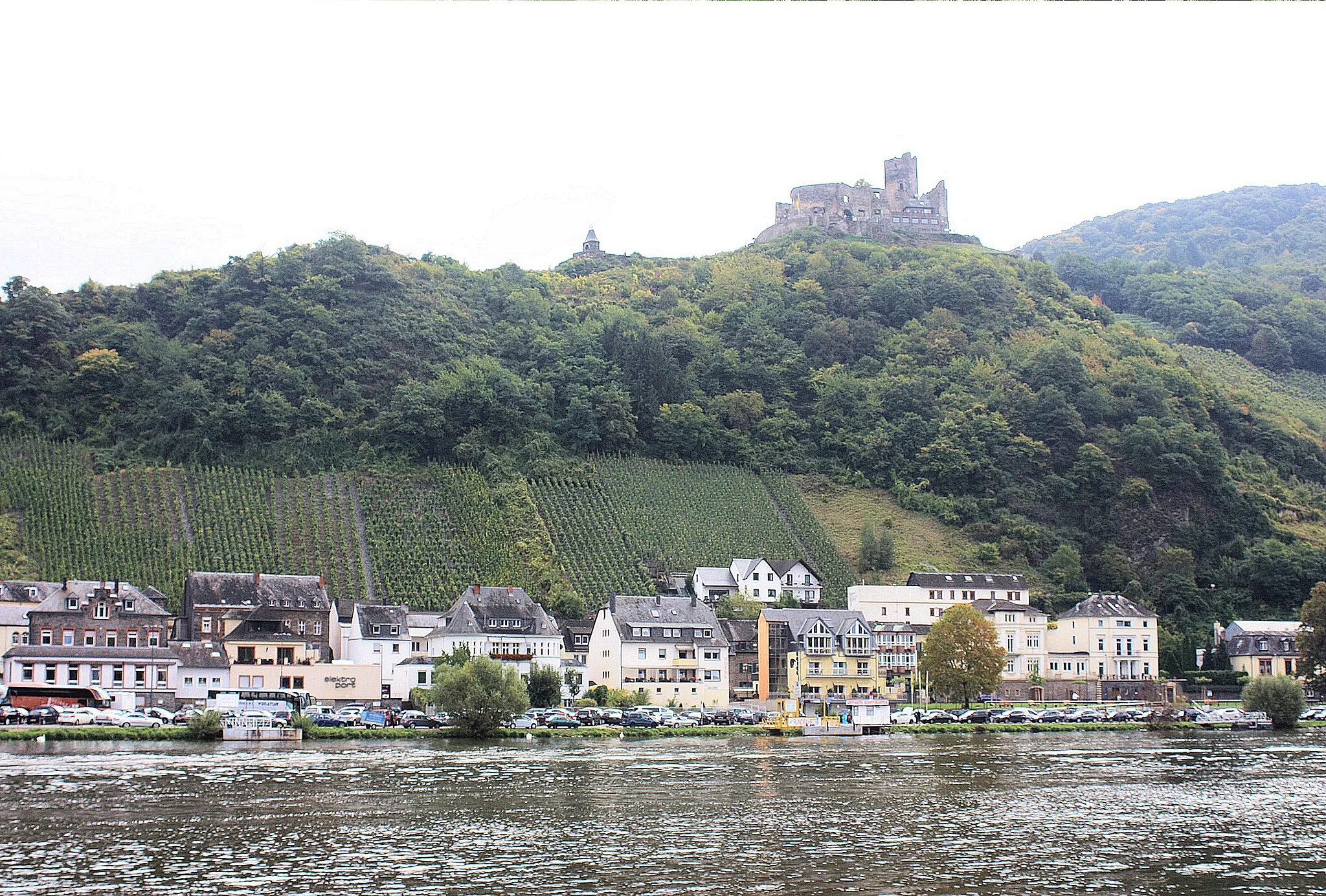
Burg LandshutCastleBurg Landshut, located at 34 kilometers on the route, is a medieval castle perched on a hill and offers stunning panoramic views of the surrounding landscape.
34 km
34 km
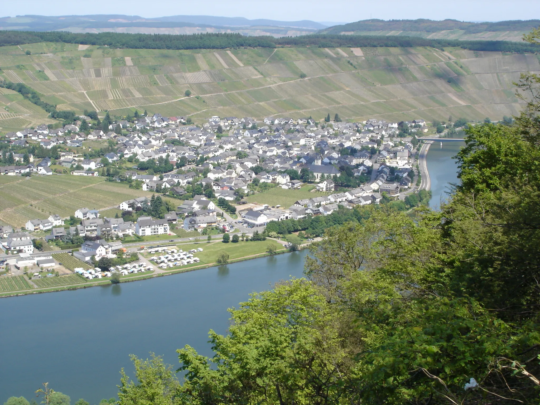
KaiserstuhlViewpointKaiserstuhl, situated at 34 kilometers on the route, is a quaint village known for its traditional architecture and charming atmosphere.
45 km
45 km
Schackberg501 mPeakSchackberg, located at 45 kilometers on the route, is a hill known for its hiking trails and scenic viewpoints.
57 km
57 km
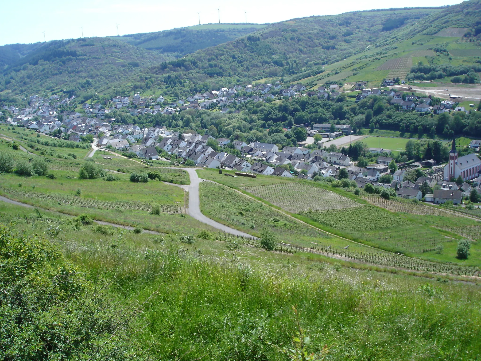
OdertVillageOdert, situated at 57 kilometers on the route, is a small village known for its preserved historic buildings and traditional way of life.
71 km
71 km
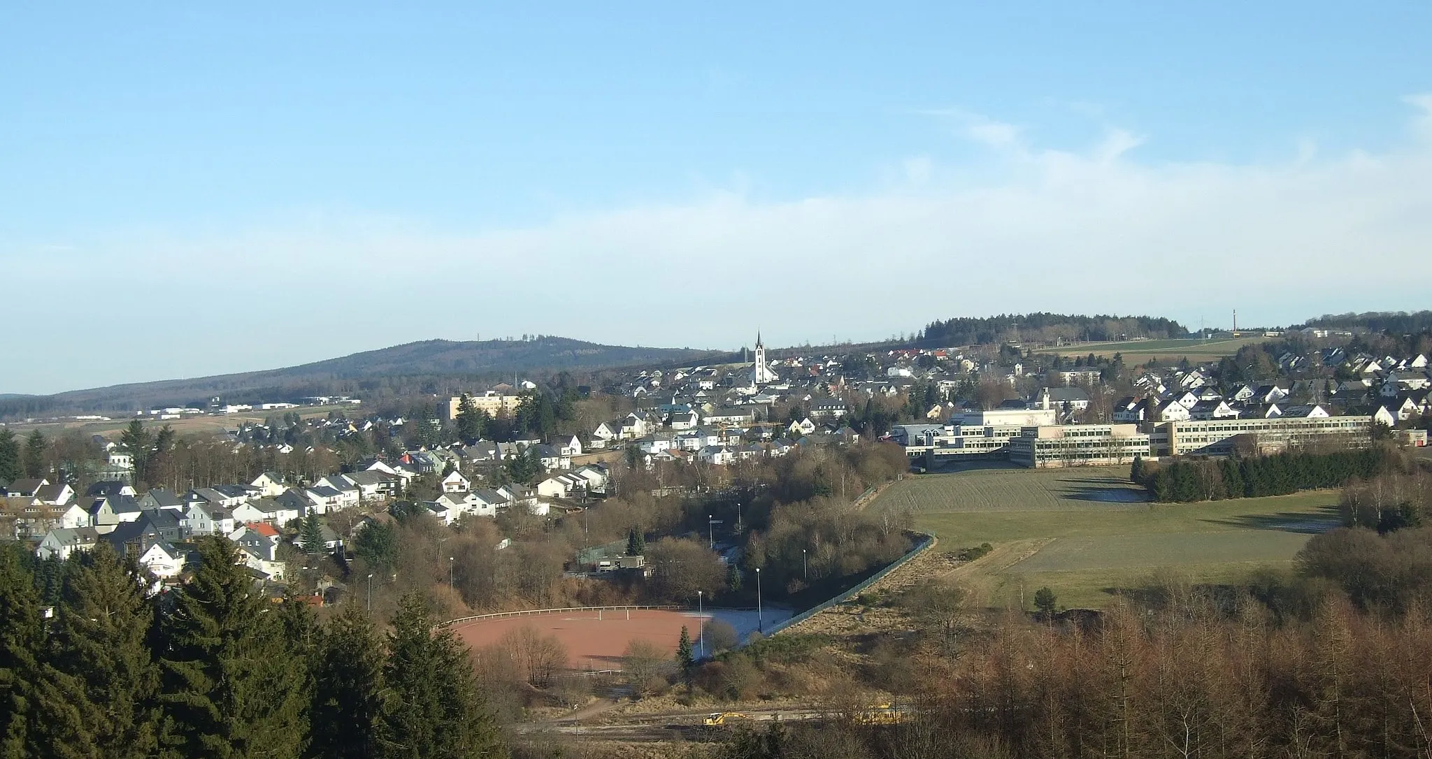
ThalfangVillageThalfang, the starting and ending point of the route, is a picturesque village surrounded by rolling hills and enchanting landscapes.
71 km
71 km
Finish: Thalfang Village centerThalfang: Explore Thalfang's natural beauty on two wheels.
Cycling routes nearby: