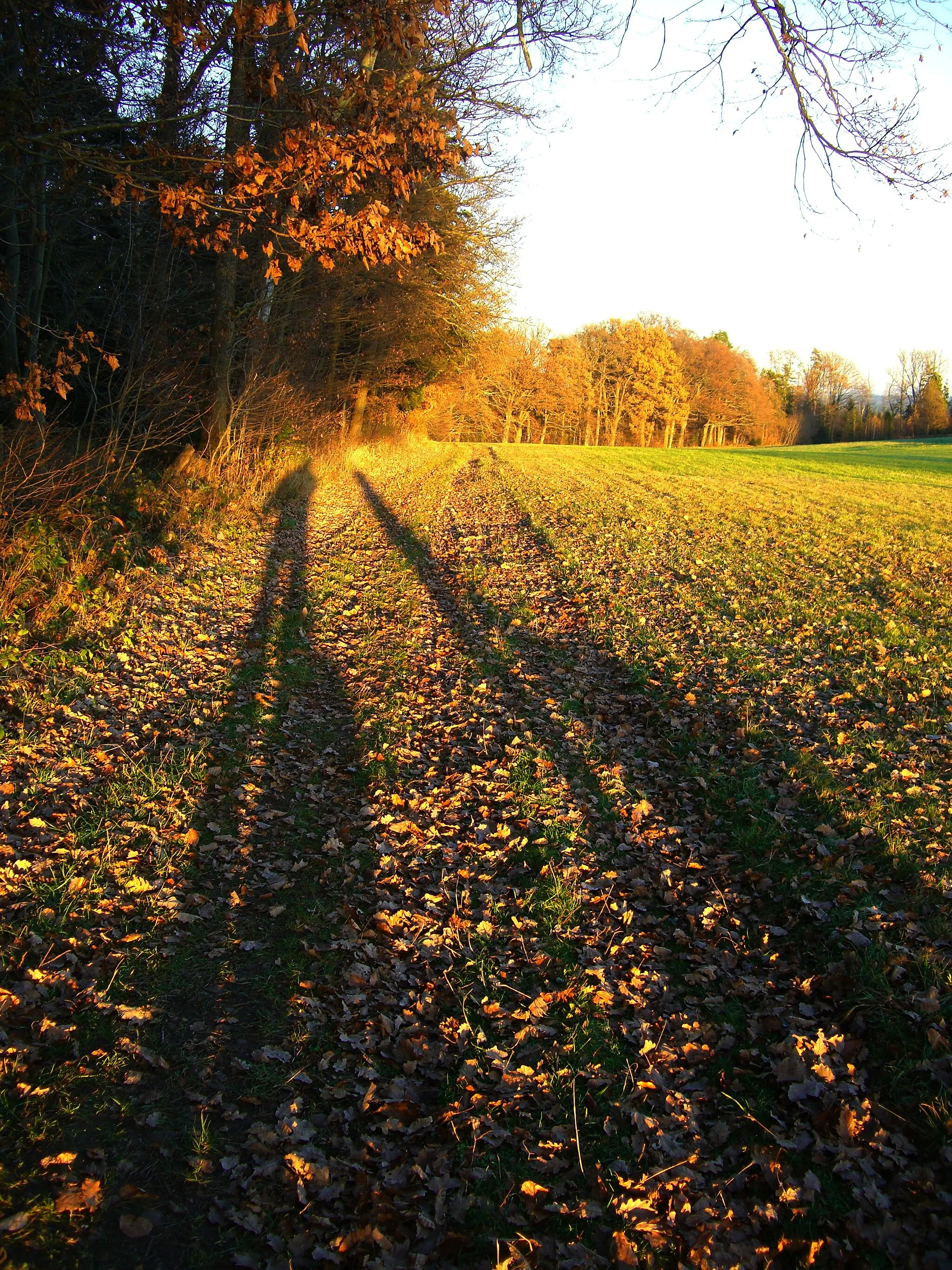
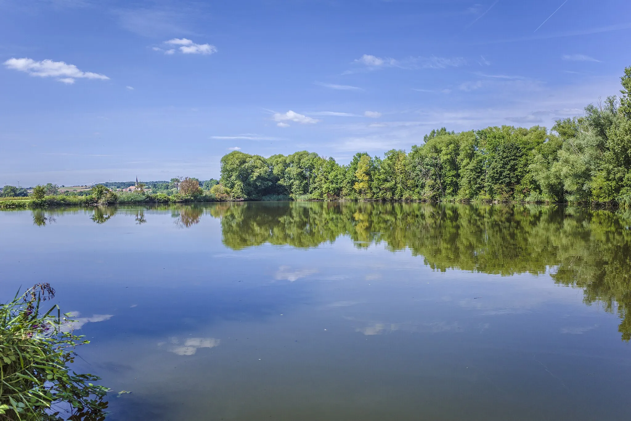
Picturesque rides in a serene setting.
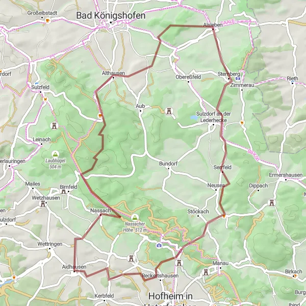
Cycling routes from Aidhausen
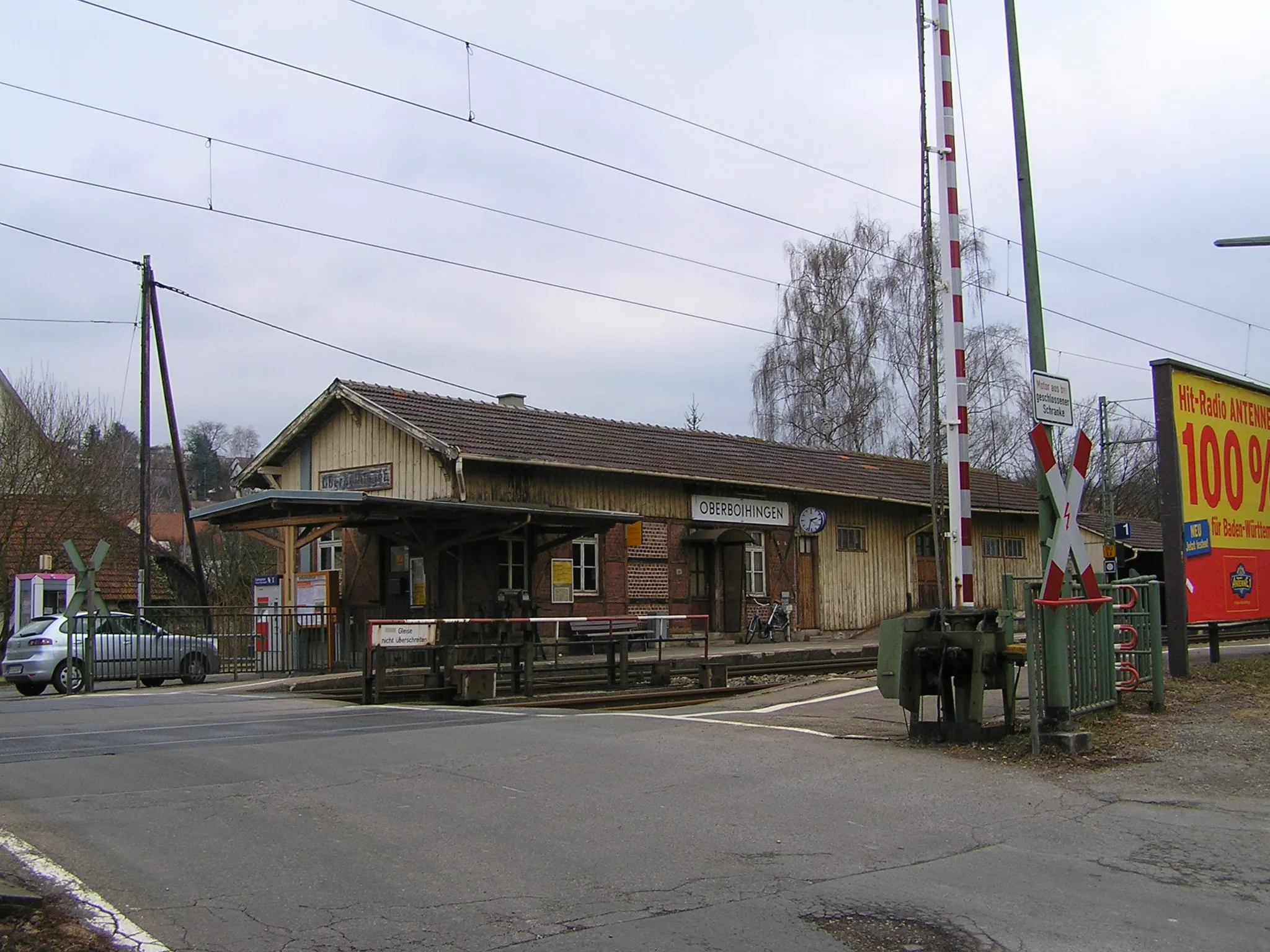
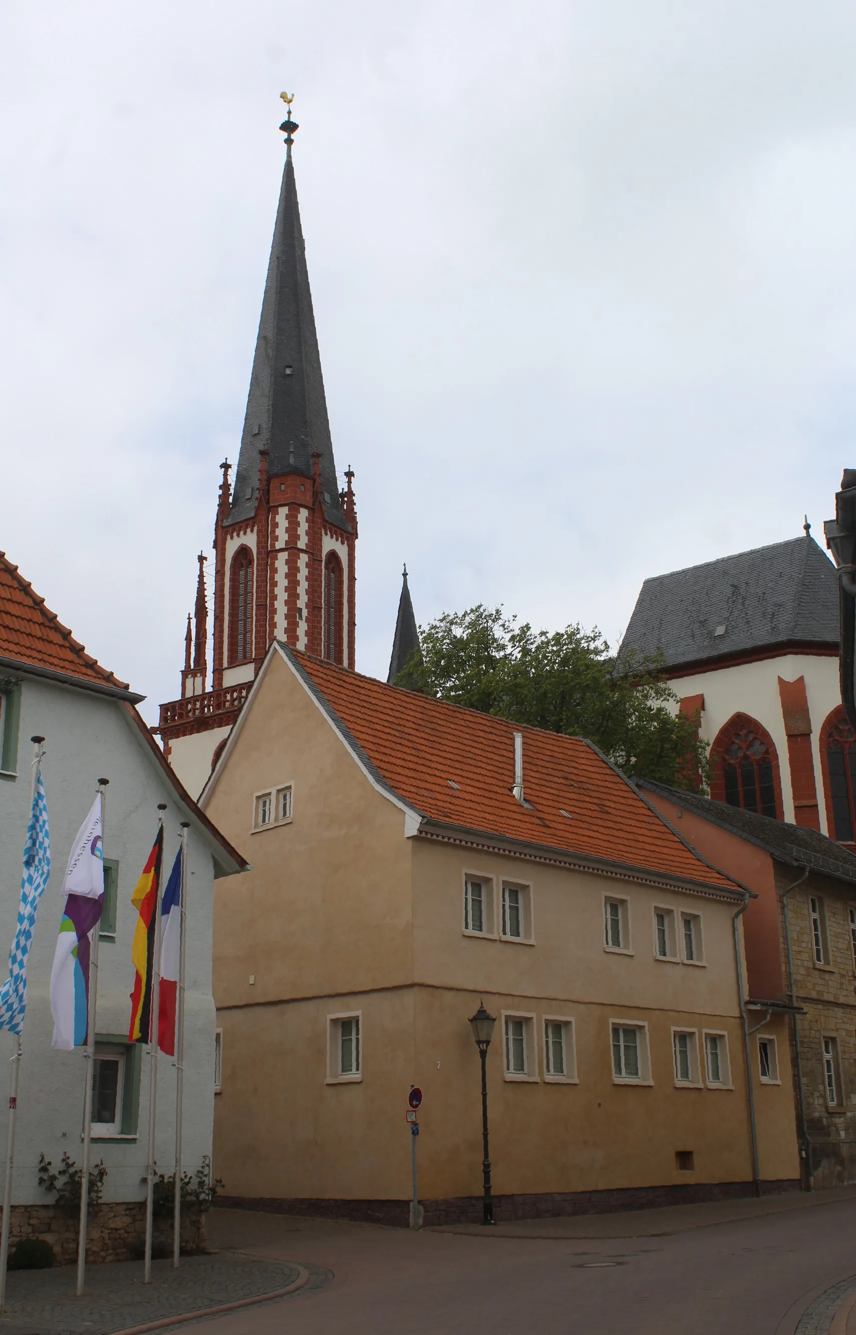
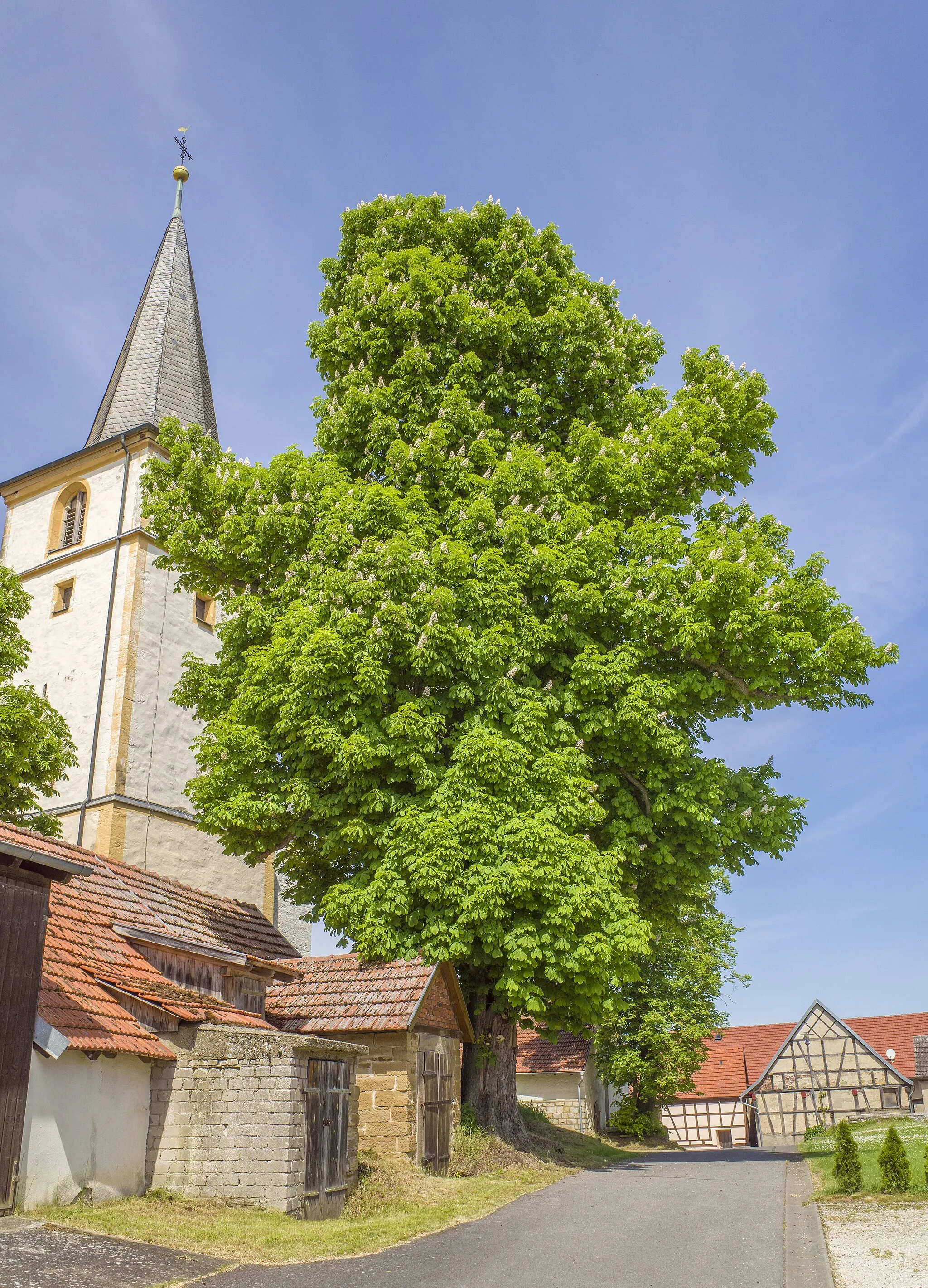
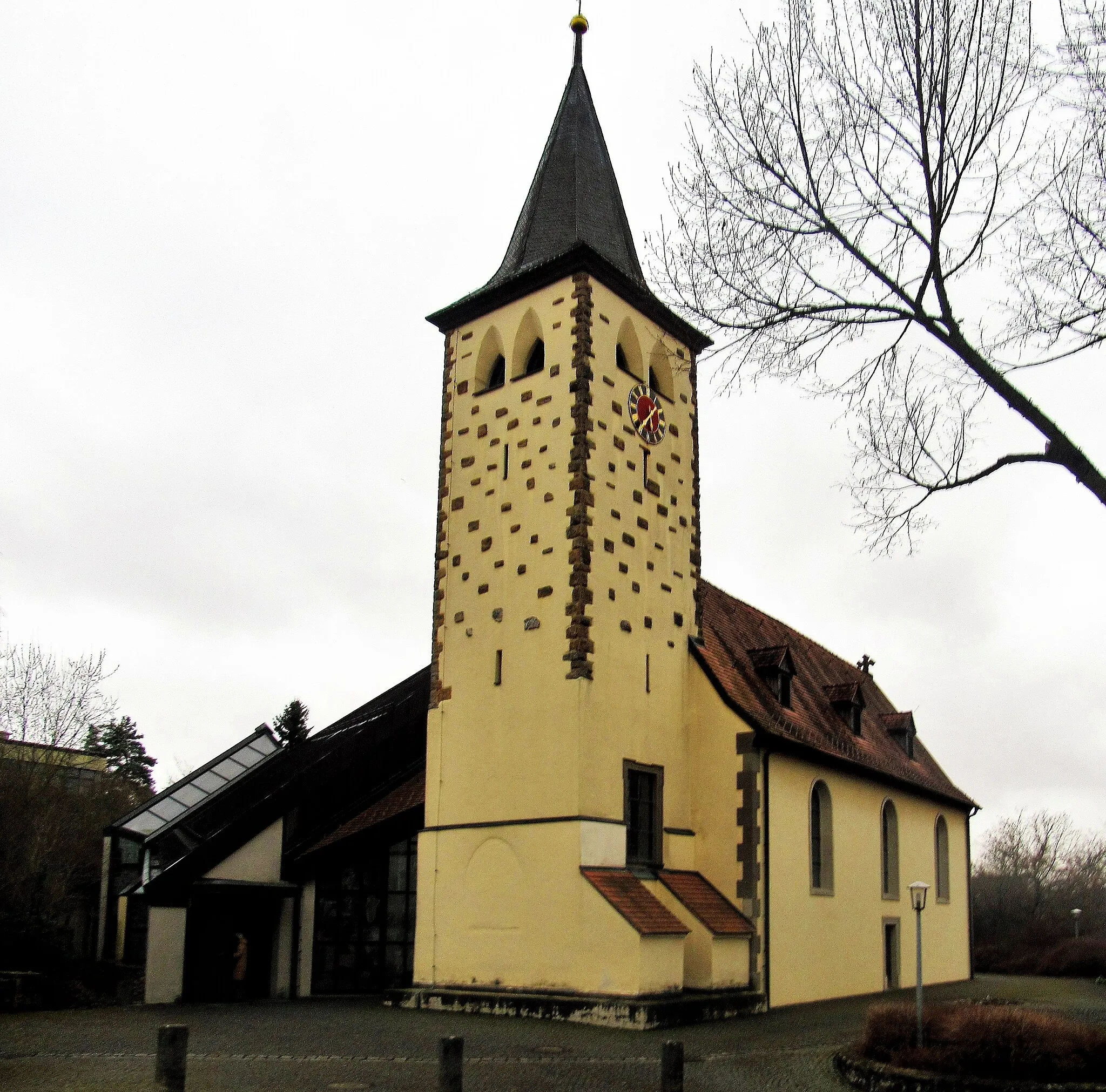
Aidhausen is a town located in Unterfranken, Germany. For road and gravel cyclists, Aidhausen offers enjoyable riding experiences through charming countryside landscapes. While not home to must-visit cycling destinations or famous climbs, the region provides picturesque views and quiet roads perfect for peaceful explorations. Cyclists looking for pleasant rides in a tranquil environment will find Aidhausen to be a suitable choice.
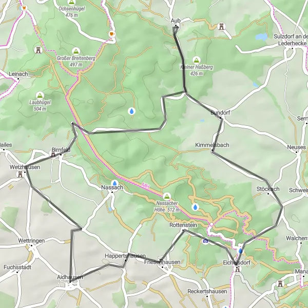
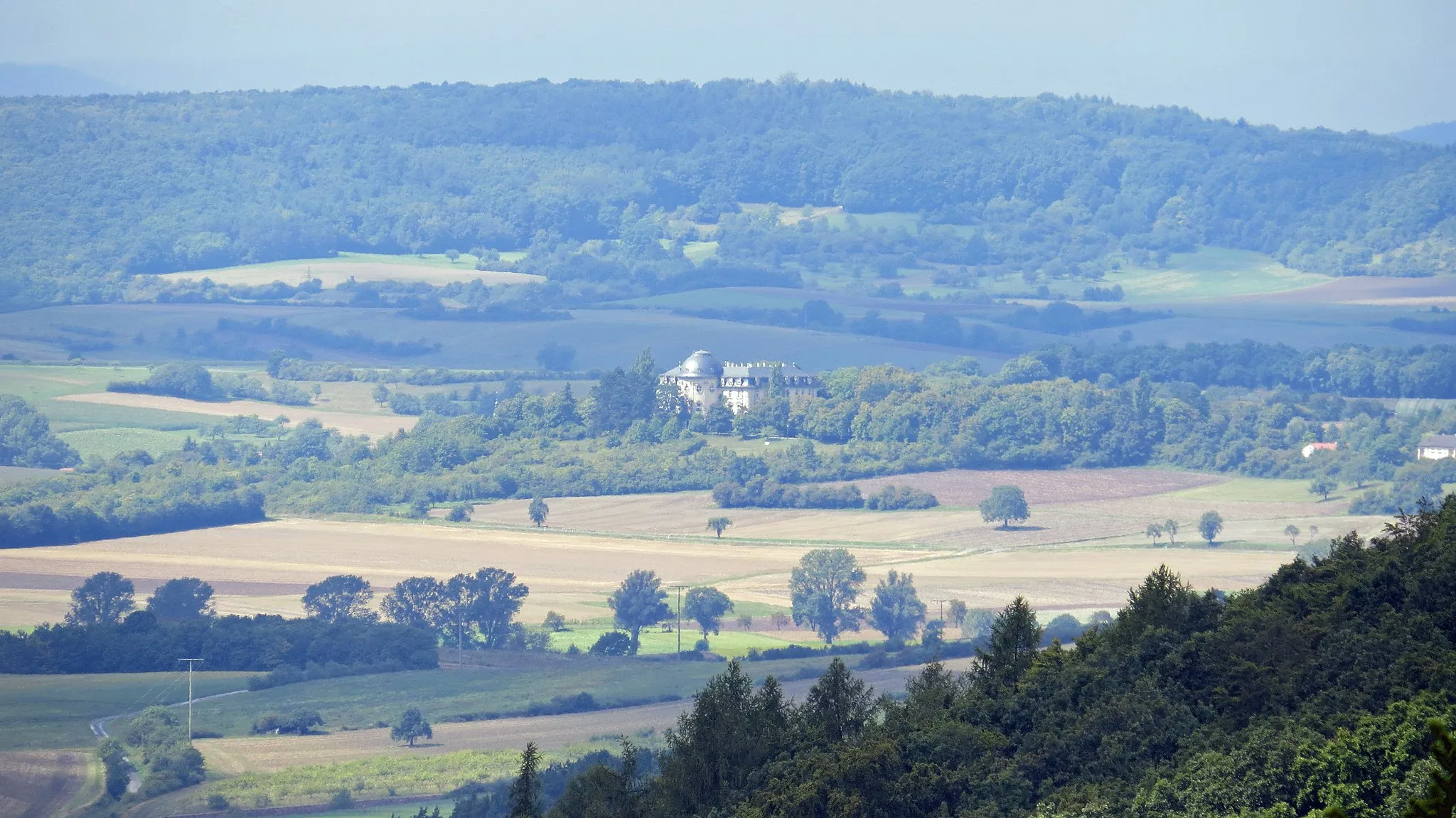
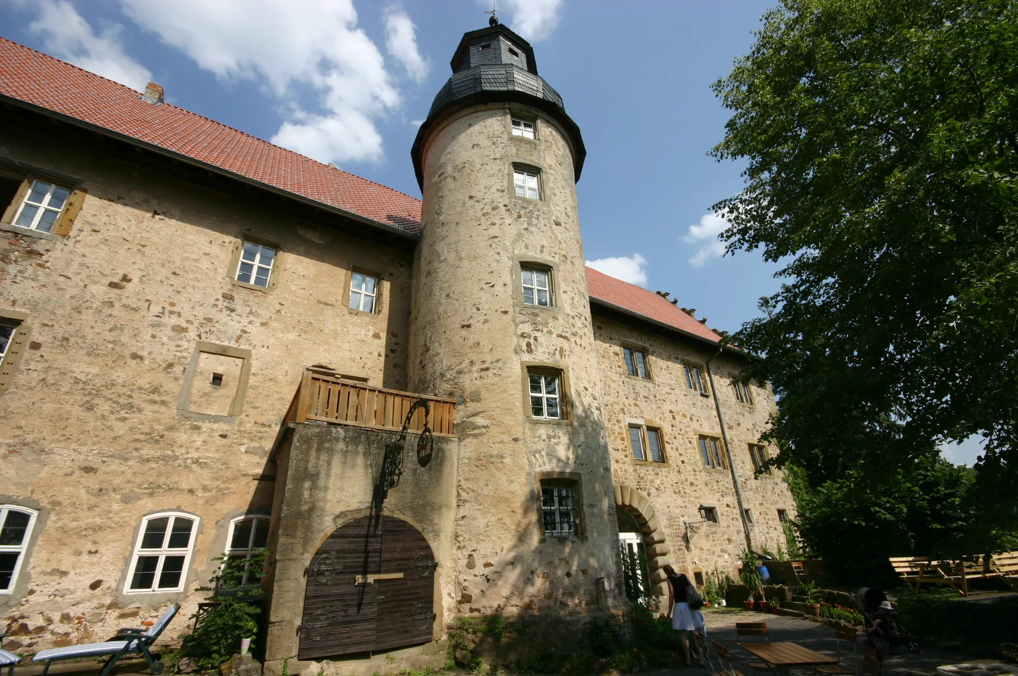
Scenic Tour through Birnfeld
Embark on a scenic cycling journey through picturesque landscapes and visit the historic Birnfeld Castle.
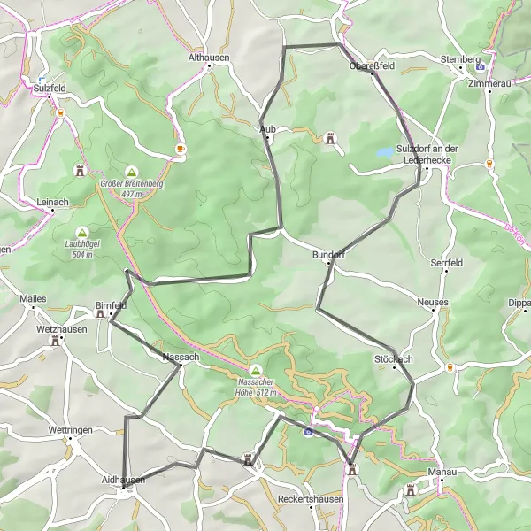
This road cycling route starting near Aidhausen offers a leisurely ride through the countryside. With a total ascent of 619 meters over a distance of 49 kilometers, it is suitable for moderately experienced cyclists. Highlights along the route include the iconic Birnfeld Castle, known for its impressive architecture. Other notable highlights include Rothügel, a hill providing panoramic views, and Sulzdorf an der Lederhecke, a charming village with a rich culinary tradition. Enjoy the beauty of the Franconian countryside as you pedal along this scenic tour.
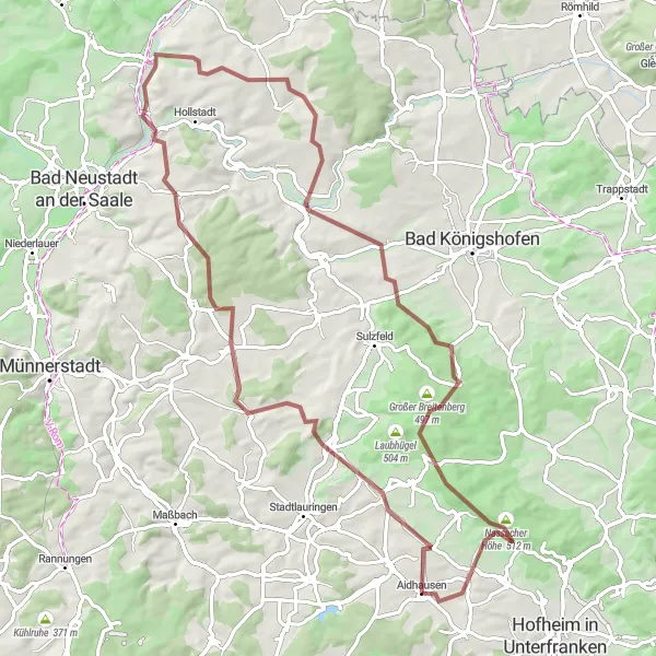
A classic road ride through Unterfranken
Enjoy a classic road cycling experience on this 41-kilometer route near Aidhausen. The route offers a moderate ascent with a total elevation gain of 546 meters, making it suitable for intermediate riders. Pass through picturesque villages such as Wetzhausen and Bundorf while enjoying the scenic beauty of Unterfranken. Don't miss the opportunity to visit the historic Rothügel and Schwedenschanze landmarks along the way.
Embark on an adventurous gravel ride to the idyllic village of Oberlauringen.
This gravel cycling route starting near Aidhausen is perfect for those seeking an adrenaline-filled adventure. With a total ascent of 1035 meters over a distance of 79 kilometers, the route offers a moderate to challenging ride. Highlights along the way include Oberlauringen, a picturesque village known for its traditional Franconian architecture. Other notable highlights include the Wambachshügel, offering panoramic views, and the Aussichtspunkt Maria Bildhausen, a viewpoint with stunning vistas. Immerse yourself in nature as you explore the gravel roads of this scenic route.
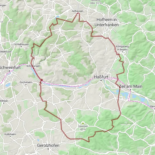
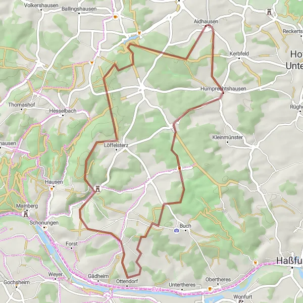
Gravel Route around Aidhausen
A scenic gravel ride around Aidhausen
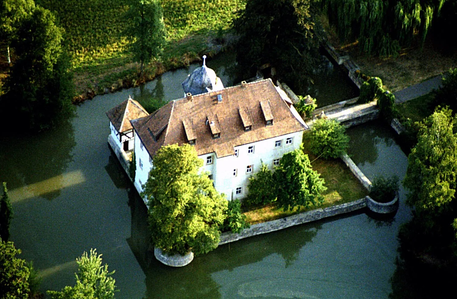
Experience the beautiful countryside and charming villages around Aidhausen on this scenic gravel route. With a total distance of 72 km and an ascent of 729 m, this ride offers a challenging yet rewarding adventure. The route takes you through a mix of rolling hills, picturesque farmland, and peaceful forests, providing a diverse and enjoyable cycling experience. Along the way, you'll encounter various highlights including the historic Bettenburg Castle, the Stone Cross monument in Steinernes Kreuz, and the charming village of Zeil am Main. Don't miss the opportunity to explore these hidden treasures in the Unterfranken region of Germany.
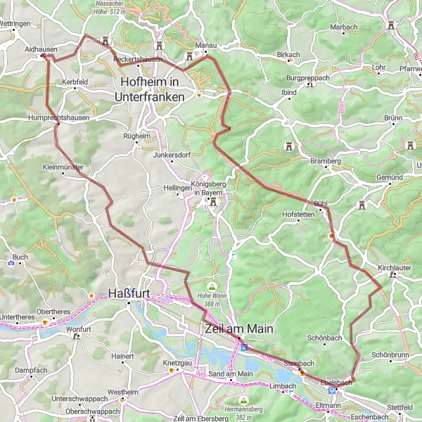
Embark on a monumental gravel adventure in Unterfranken
Get ready for an epic gravel adventure in the mesmerizing landscapes of Unterfranken near Aidhausen. This ambitious route covers a distance of 97 kilometers, with a challenging ascent of 1218 meters. Take in the stunning panoramic views as you conquer the gravel paths and conquer legendary climbs. From Kerbfeld to Michelau i.Steigerwald, this ride will test your endurance and reward you with unforgettable memories.
Rednershof Gravel Ride
A scenic gravel route near Aidhausen
This distinctive gravel ride near Aidhausen offers stunning views of the countryside and takes you through charming villages. The route includes a moderate ascent with a total elevation gain of 648 meters. It covers a distance of 46 kilometers, making it suitable for intermediate riders. The ride starts from Aidhausen and passes through Rednershof, providing an opportunity to explore this picturesque village. Overall, it is a great route for gravel enthusiasts looking for a scenic and enjoyable adventure.
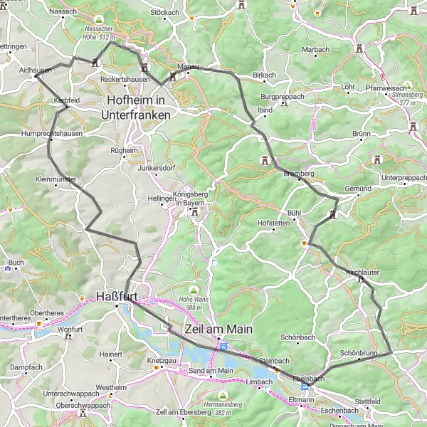
Discover the scenic views and historical landmarks along this road cycling route.
This road cycling route near Aidhausen takes you through picturesque landscapes and past notable highlights. Be prepared for a challenging ride with a total ascent of 827 meters over a distance of 81 kilometers. Along the way, you will encounter the Schwedenschanze, a historic fortification, and the Aussichtsplattform, a viewpoint offering stunning panoramic views. The route also passes through charming villages like Erlsdorf, Kirchlauter, and Humprechtshausen.
Grand Tour of Main-Sand
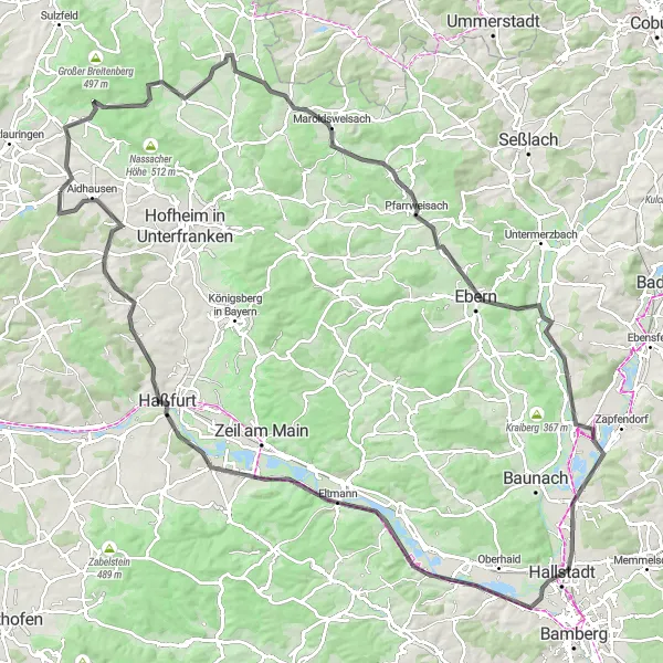
Embark on an epic road cycling adventure, exploring the Main and Sand river valleys.
This challenging road cycling route near Aidhausen covers a distance of 130 kilometers, with a total ascent of 1041 meters. Suitable for experienced cyclists, the route offers a grand tour of the Main and Sand river valleys. Highlights along the way include the scenic views from Rothügel, the picturesque village of Ermershausen, and the towering Aussichtsturm Baunachaue. Other notable highlights include the panoramic vista from Ebern-Blick, the historic town of Ebern, and the breathtaking scenery of Breitengüßbach. Prepare for an epic cycling adventure with stunning landscapes and cultural attractions along the way.
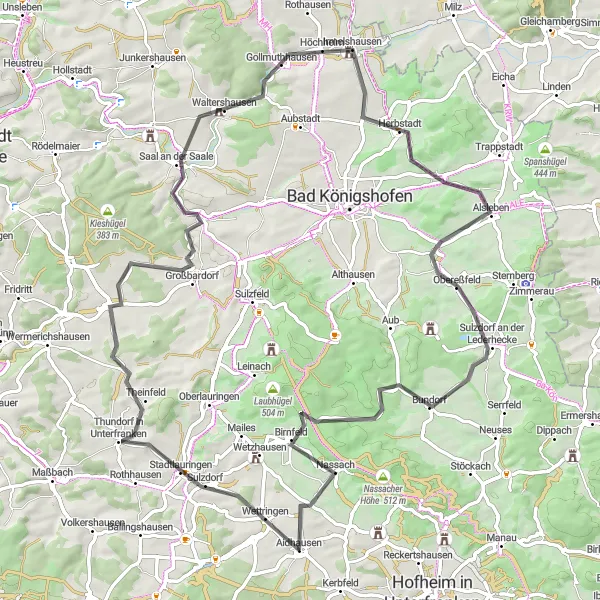
Experience an epic road adventure through Unterfranken
Embark on a challenging road adventure through the picturesque region of Unterfranken near Aidhausen. This 83-kilometer route will take you through stunning landscapes and charming towns, providing a true cycling adventure. With a demanding elevation gain of 823 meters, it is recommended for experienced cyclists. Explore the beauty of Stadtlauringen, Großbardorf, and Sulzdorf an der Lederhecke while conquering the challenging climbs of Sulzenhügel and Schloss Birnfeld.
Nassach Gravel Adventure
Explore the beauty of Nassach on this gravel ride
Embark on a thrilling gravel adventure near Aidhausen as you explore the scenic region around Nassach. This route is challenging with a significant elevation gain of 746 meters, covering a distance of 55 kilometers. Discover the hidden gems of Nassach, Gabolshausen, and Happertshausen while enjoying the stunning landscapes of Unterfranken. It's a great choice for experienced gravel riders seeking a memorable day out.
Cycling routes nearby:


Nearby regions: