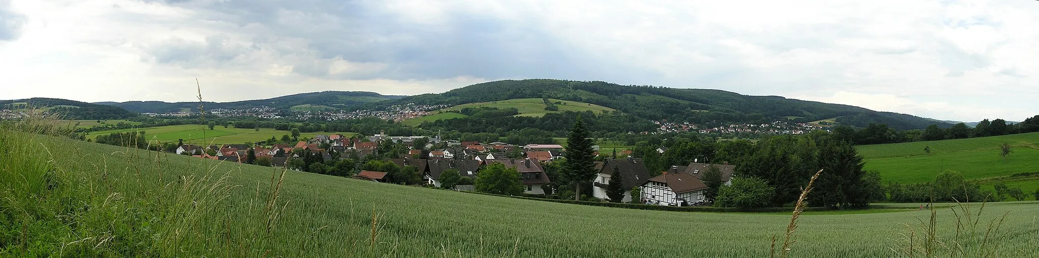
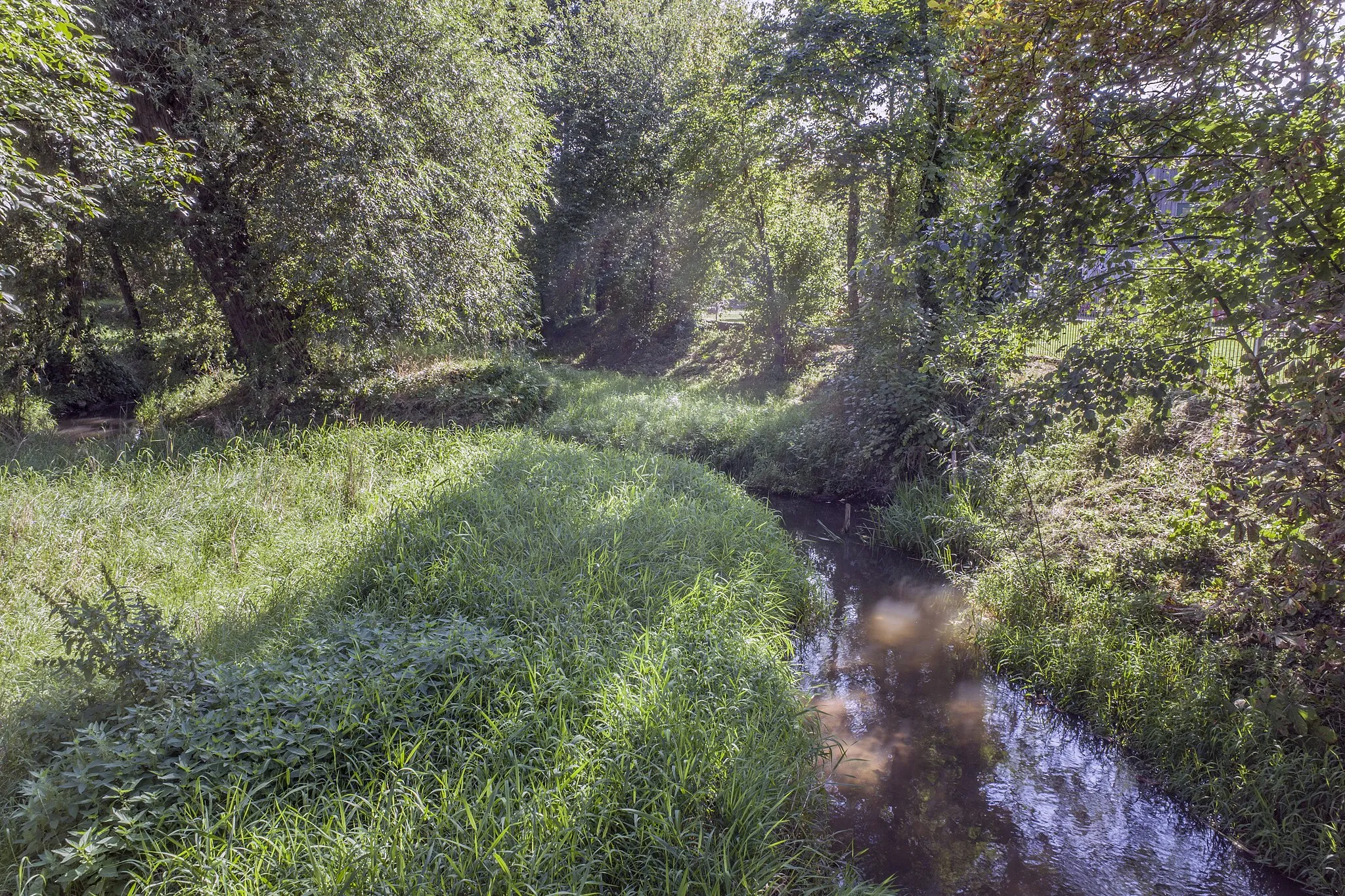
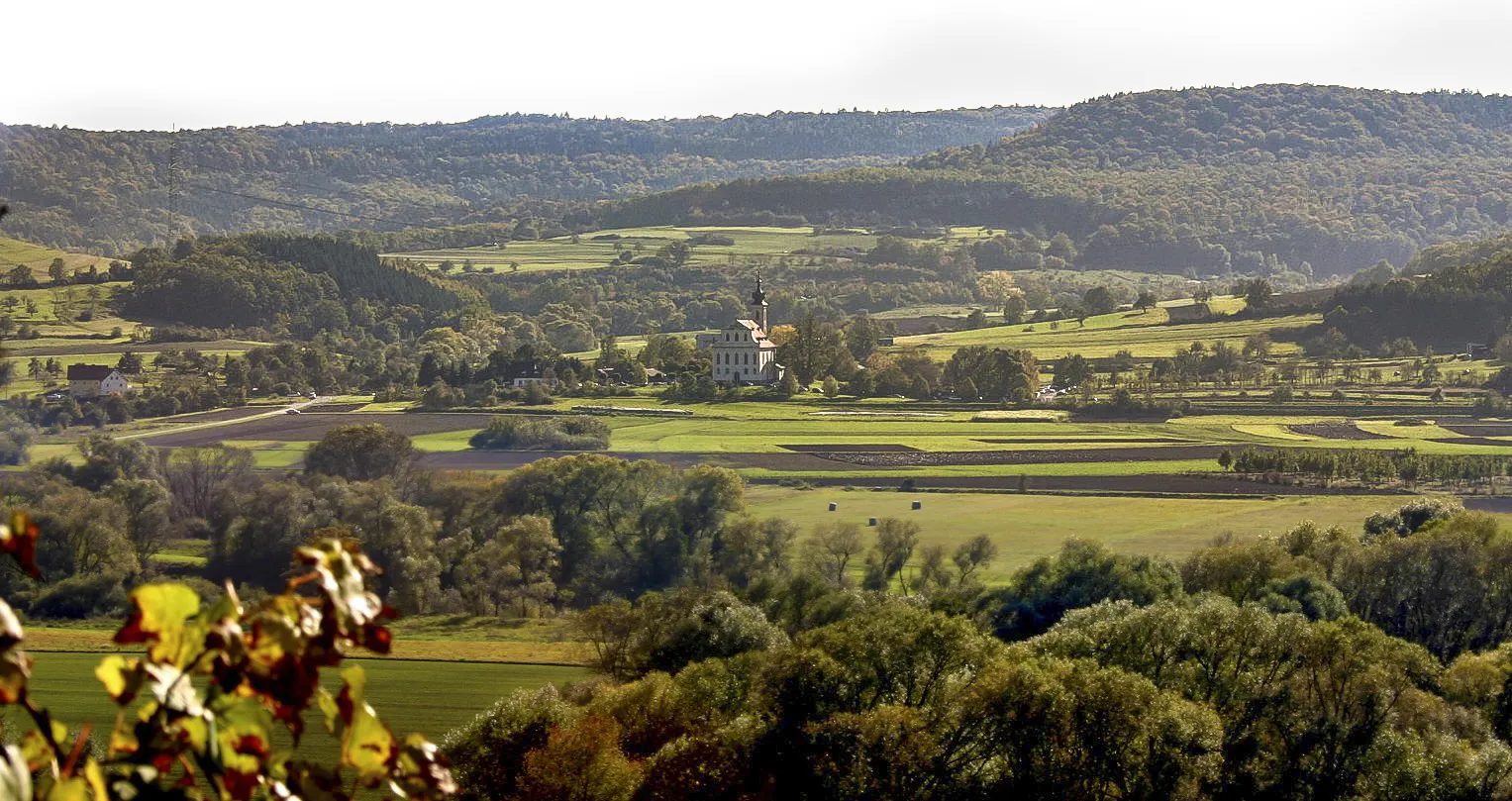
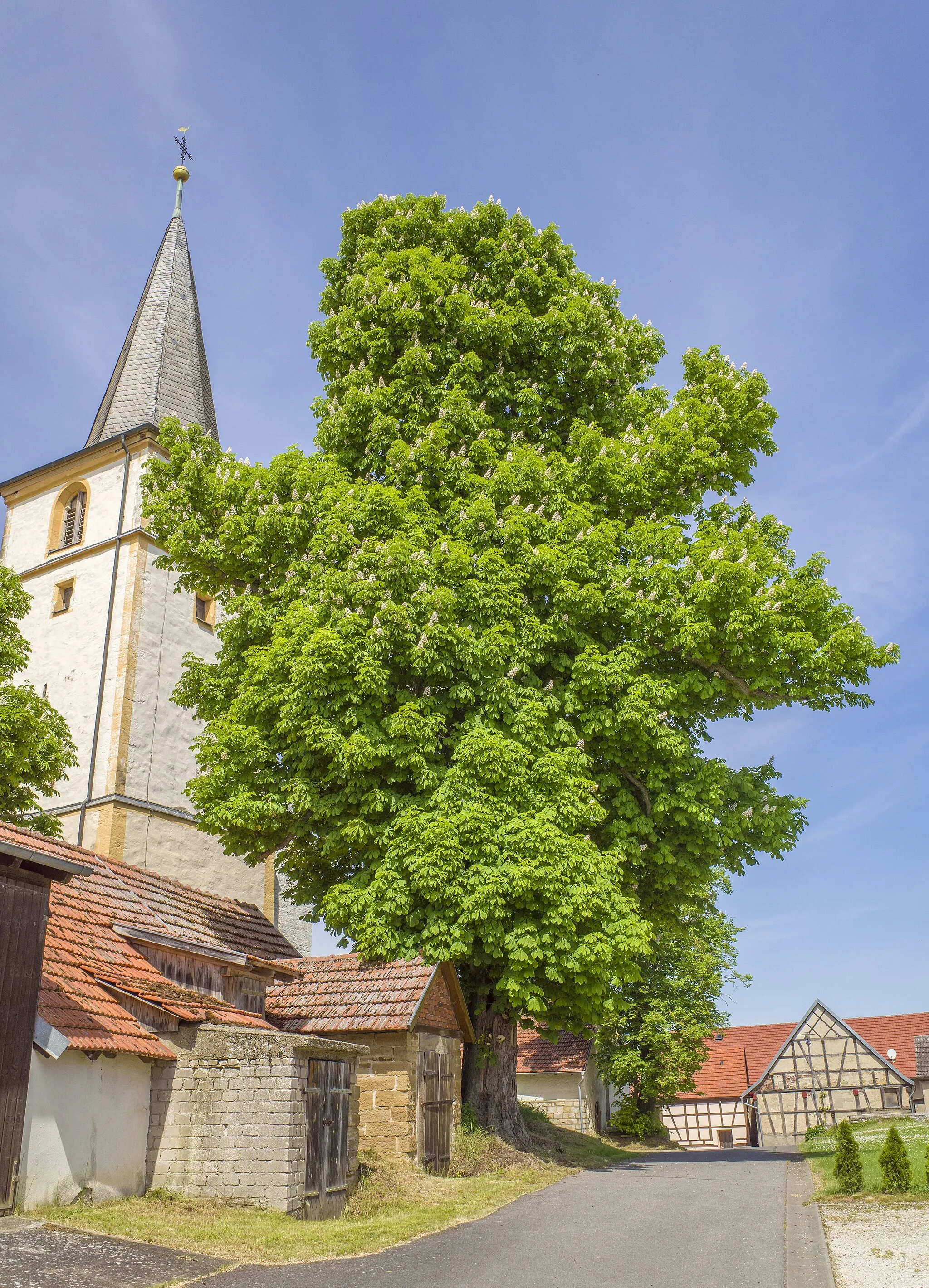
Scenic Landscapes and Historical Charm
Cycling routes from Hassfurt
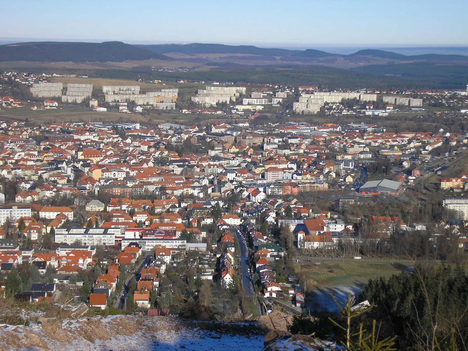
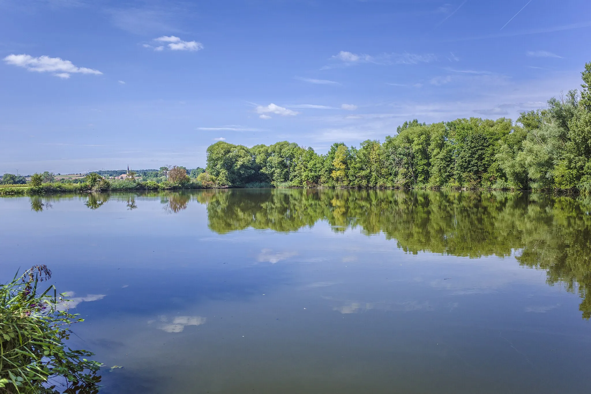
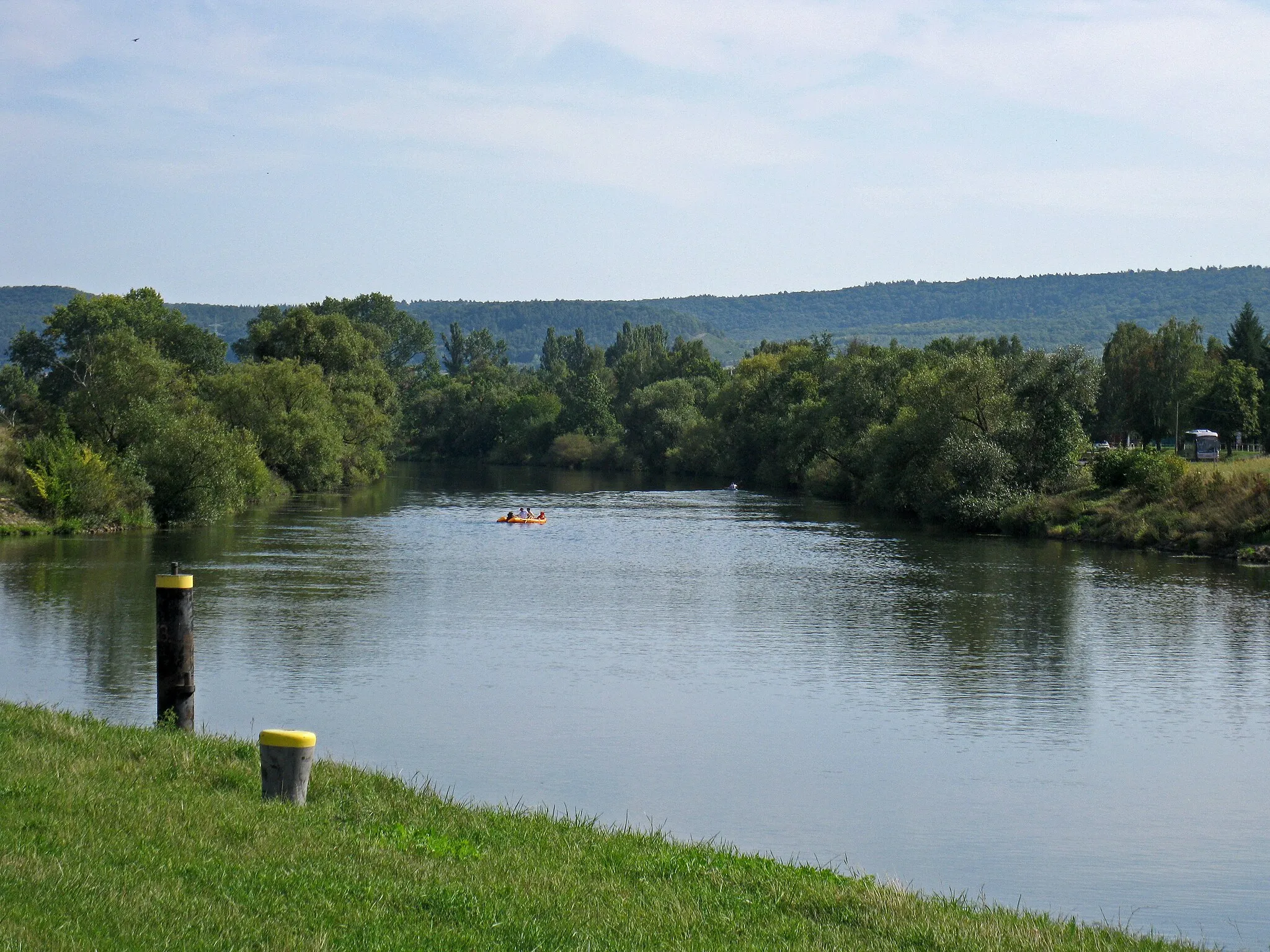
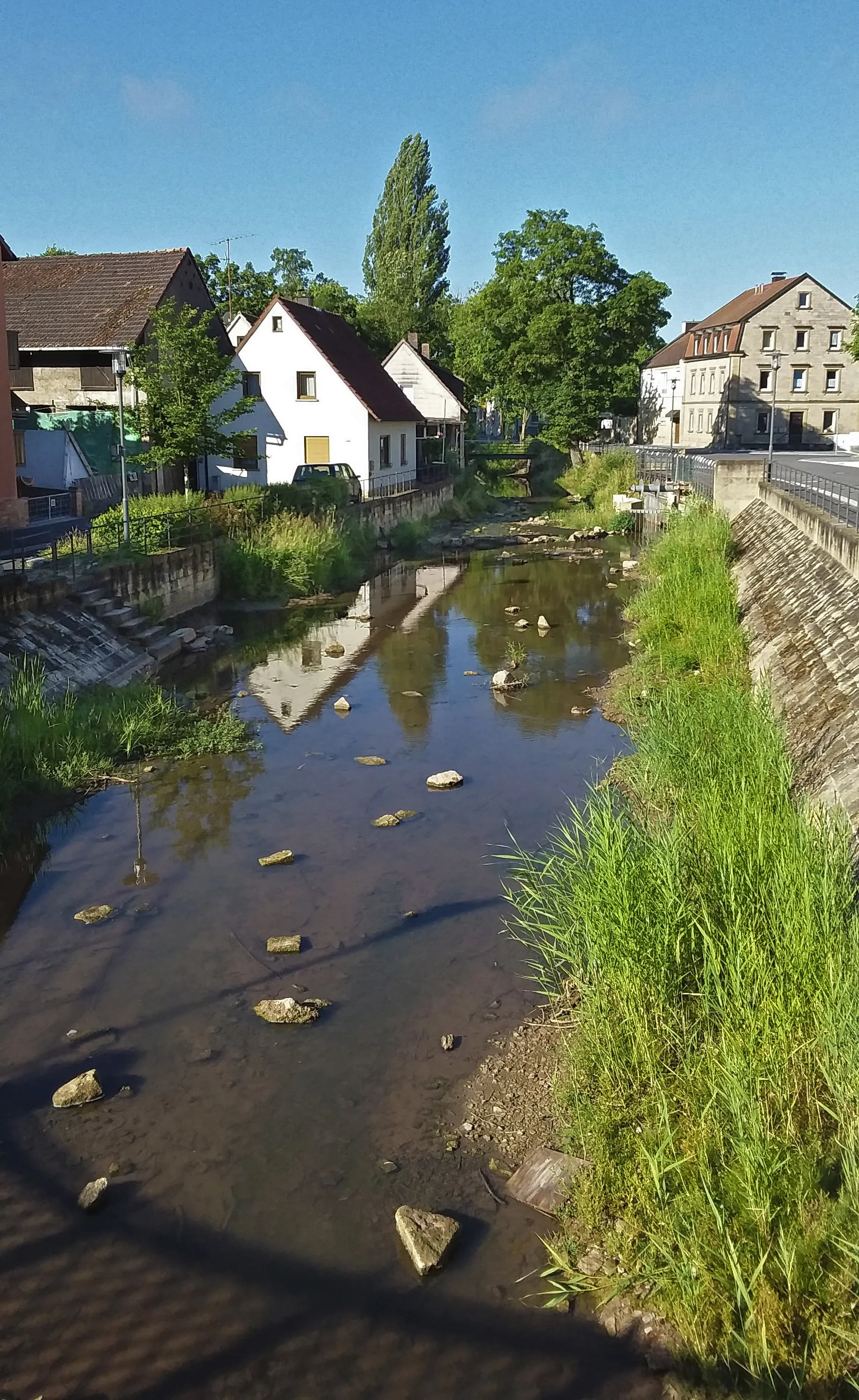
Haßfurt, located in Unterfranken, Germany, is a cyclist-friendly locality offering a range of cycling routes suitable for both road and gravel cyclists. The region boasts a mix of flat stretches and rolling hills, providing a variety of challenges for riders. Cyclists can enjoy picturesque views of vineyards and charming towns as they explore the area. Haßfurt itself is a lively town with historical sites and cozy cafes, making it an ideal base for cycling tourists. Nearby, cyclists can visit attractions such as the Alte Mainbrücke or the Steigerwald Nature Park. With its scenic landscapes and welcoming atmosphere, Haßfurt is a wonderful destination for cyclists seeking diverse cycling terrain.
Embark on an unforgettable journey through the idyllic landscapes and enchanting small towns.
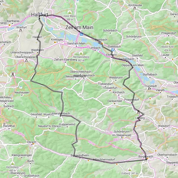
Prepare for the ultimate cycling challenge as you tackle this 83-kilometer road route with a staggering ascent of 736 meters. This route offers a rewarding experience for experienced cyclists seeking epic adventures. Explore highlights such as Zeil am Main, Schmachtenberg, Lisberg, Burgebrach, Burgwindheim, Karbach, Bocksberg, and Hainert.
Winding Road to Wonfurt
Feel the adrenaline as you conquer the challenging Buchner Höhe climb on this road cycling route.
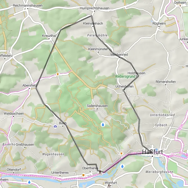
Experience the thrill of conquering challenging climbs and enjoying breathtaking descents on this road cycling route. With a total ascent of 362 meters and a distance of 31 kilometers, this route is perfect for intermediate cyclists seeking an adventure. Notable highlights along the route include Wonfurt, Buchner Höhe 405.8m, and Uchenhofen.
Gravel Adventure
Embark on a thrilling gravel adventure near Haßfurt, exploring scenic terrain.
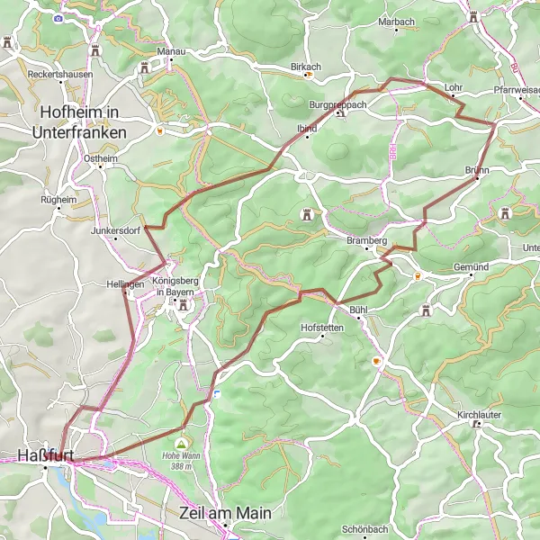
The Gravel Adventure route near Haßfurt offers a thrilling off-road cycling experience with a total distance of 53 kilometers and an ascent of 705 meters. This route takes you through scenic gravel paths and forest trails, providing a unique perspective of the Bavarian countryside. It passes through Sylbach, Huthäuschen, Burgpreppach, Aussichtsturm Baunachaue, Albersdorf, Aussichtsplattform, Altershausen, Hahn, and Kleinaugsfeld. The route is suitable for experienced off-road cyclists and offers a combination of challenging climbs and fast descents.
The Gravel Explorer

Explore the diverse gravel terrain near Haßfurt on this adventurous cycling route.
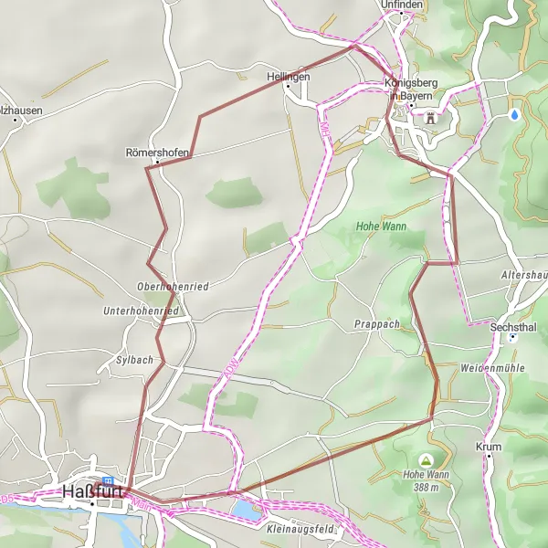
The Gravel Explorer is an adventurous route near Haßfurt that covers a total distance of 69 kilometers with an ascent of 1020 meters. This gravel cycling adventure takes you through a variety of terrains, including gravel paths, forest trails, and open countryside. Highlights along the route include Haßfurt, Hohe Wann, Oberer Hohberg, Weisbrunn, Priesendorf, Halbersdorf, Roßgrundhütte, Silbersattel, Westheim, and Mariaburghausen. Suitable for intermediate-level gravel cyclists, this route offers a mix of fast-paced sections and technical descents. Immerse yourself in the beauty of nature as you explore the diverse and challenging terrain.

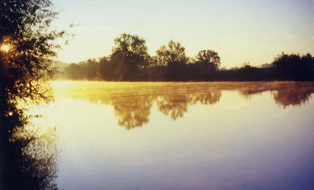
Experience the beauty of the Main River on this road cycling adventure near Haßfurt.
The Tour de Main River is a scenic road cycling route near Haßfurt that covers a distance of 89 kilometers with a total ascent of 797 meters. This route takes you along the picturesque Main River, offering stunning views of the surrounding countryside. It passes through several charming villages including Wonfurt, Gochsheim, Oerlenbach, Rannungen, Volkershausen, Reichmannshausen, and Mechenried. The route is suitable for intermediate-level cyclists and offers a delightful mix of flat sections and rolling hills.
Embark on an epic gravel adventure through breathtaking landscapes and historic villages.
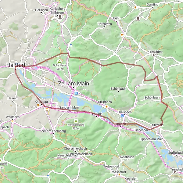
Prepare for an unforgettable gravel adventure as you explore the scenic beauty of Unterfranken. This 46-kilometer route boasts a challenging ascent of 544 meters, offering breathtaking views and thrilling descents. Highlights of the route include Bischofsheim, Mausberg, Stettfeld, Ebelsberg, Spitzberg, and Knetzgau.

Take on the ultimate hill challenge near Haßfurt on this gravel cycling route.
The Hill Challenge is a thrilling gravel cycling route near Haßfurt that spans 97 kilometers with a challenging ascent of 1465 meters. This route is designed for experienced gravel cyclists seeking a test of endurance and skill. Highlights of the route include Haßfurt, Hohe Wann, Oberer Hohberg, Weisbrunn, Burgebrach, Schloss Burgwindheim, Untersteinbach, Silbersattel, and Hainert. Expect grueling climbs, technical descents, and stunning views of the surrounding hills and forests. The Hill Challenge is not for the faint-hearted but promises a memorable and rewarding cycling experience for those up for the challenge.
Countryside Escape

Escape to the serene countryside near Haßfurt on this road cycling route.
The Countryside Escape route near Haßfurt covers a distance of 133 kilometers with a cumulative ascent of 1113 meters. This road cycling adventure takes you through beautiful hamlets and enchanting landscapes. The route passes through Hofheim in Unterfranken, Sulzdorf an der Lederhecke, Bayernturm, Heldburg, Veste Heldburg Richtung Gleichberge, Bad Rodach, Mönchsberg, Scheuerfeld, Itzgrund, Gleusdorf, Sauberg, Gleisenau, Steinberg, and Augsfeld. Suitable for experienced cyclists, this route offers a mix of flat roads and challenging climbs. Enjoy the tranquility of the surrounding countryside as you pedal through picturesque scenery.

Conquer challenging climbs and savor scenic vistas on this epic road cycling route.
Get ready for an epic road cycling adventure amidst the rolling hills of Haßfurt. With a total ascent of 421 meters and a distance of 46 kilometers, this route offers a challenge to seasoned cyclists. Highlights along the way include Prappach, Wart, Knock, Breitbrunn, Ebelsbach, Steinberg, and Augsfeld.
Königsberg Gravel Adventure
Discover the charming village of Königsberg in Bayern on this thrilling gravel route
Embark on a unique gravel adventure through scenic landscapes and picturesque villages. This route offers a moderate challenge with a total ascent of 222 meters and covers a distance of 22 kilometers. Get ready to explore highlights such as Königsberg in Bayern, Wart, Hohe Wann, and Kleinaugsfeld.
Cycling routes nearby:
Nearby regions: