The Gravel Explorer
A gravel cycling route starting from Hassfurt
Explore the diverse gravel terrain near Haßfurt on this adventurous cycling route.
Map

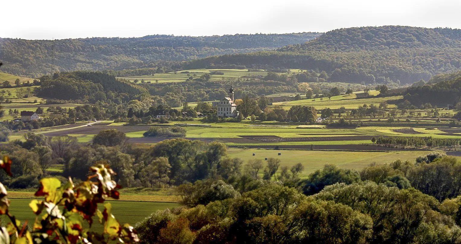
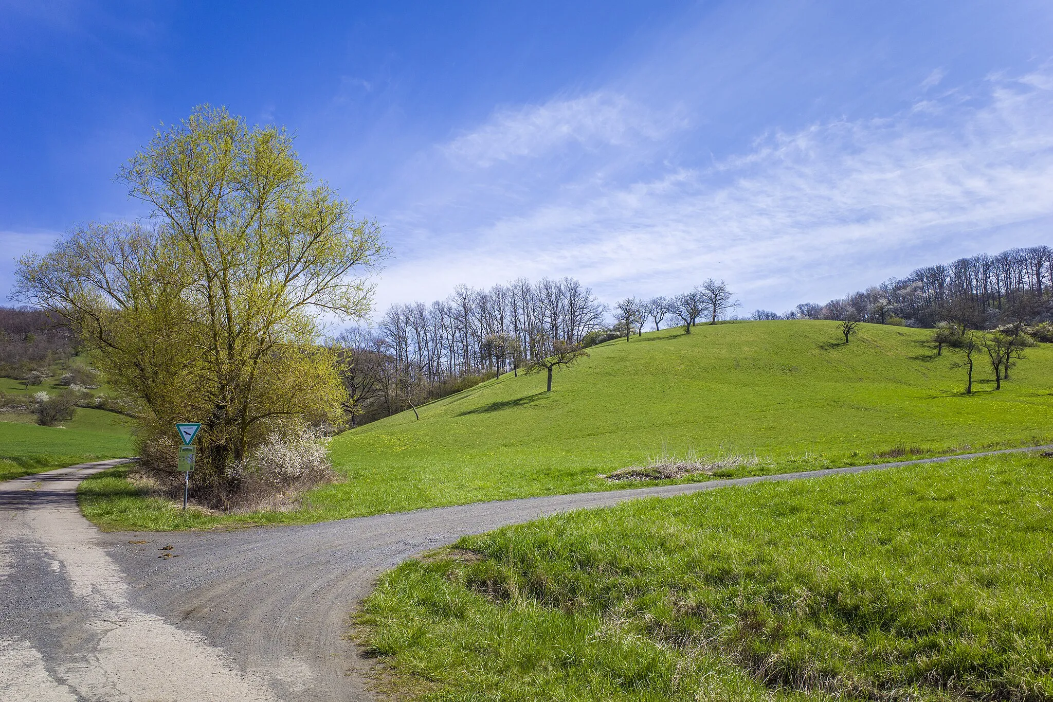
The Gravel Explorer is an adventurous route near Haßfurt that covers a total distance of 69 kilometers with an ascent of 1020 meters. This gravel cycling adventure takes you through a variety of terrains, including gravel paths, forest trails, and open countryside. Highlights along the route include Haßfurt, Hohe Wann, Oberer Hohberg, Weisbrunn, Priesendorf, Halbersdorf, Roßgrundhütte, Silbersattel, Westheim, and Mariaburghausen. Suitable for intermediate-level gravel cyclists, this route offers a mix of fast-paced sections and technical descents. Immerse yourself in the beauty of nature as you explore the diverse and challenging terrain.
gravel
69 km
1020 m
Tough
Route profile
Highlights on the route
0 km
0 km
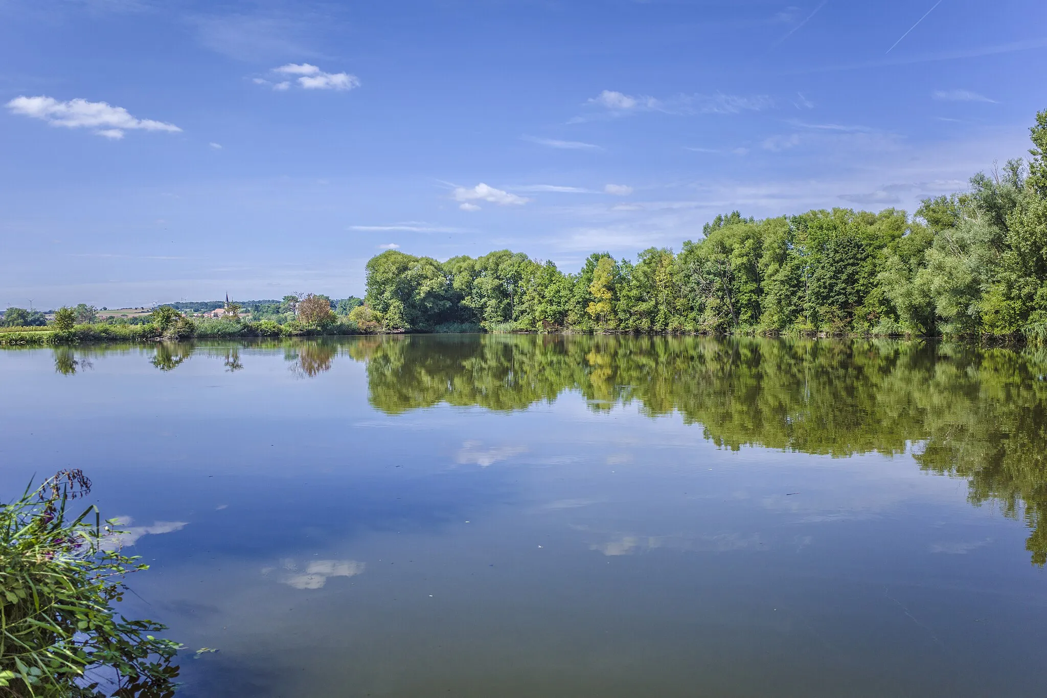
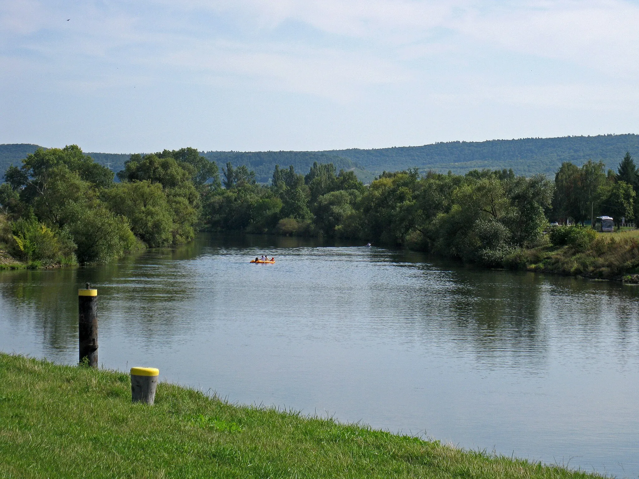
Start: Haßfurt City centerHaßfurt: Scenic Landscapes and Historical Charm
Haßfurt, located in Unterfranken, Germany, is a cyclist-friendly locality offering a range of cycling routes suitable for both road and gravel cyclists. The region boasts a mix of flat stretches and rolling hills, providing a variety of challenges for riders. Cyclists can enjoy picturesque views of vineyards and charming towns as they explore the area. Haßfurt itself is a lively town with historical sites and cozy cafes, making it an ideal base for cycling tourists. Nearby, cyclists can visit attractions such as the Alte Mainbrücke or the Steigerwald Nature Park. With its scenic landscapes and welcoming atmosphere, Haßfurt is a wonderful destination for cyclists seeking diverse cycling terrain.0 km
0 km
HaßfurtTownStart your adventure in Haßfurt and explore the town's historic center and charming streets.
5 km
5 km
Hohe Wann388 mPeakHohe Wann is a challenging climb that offers fantastic views of the surrounding landscape.
13 km
13 km
Oberer Hohberg369 mPeakOberer Hohberg is a peaceful spot with sweeping vistas, perfect for a photo stop.
24 km
24 km
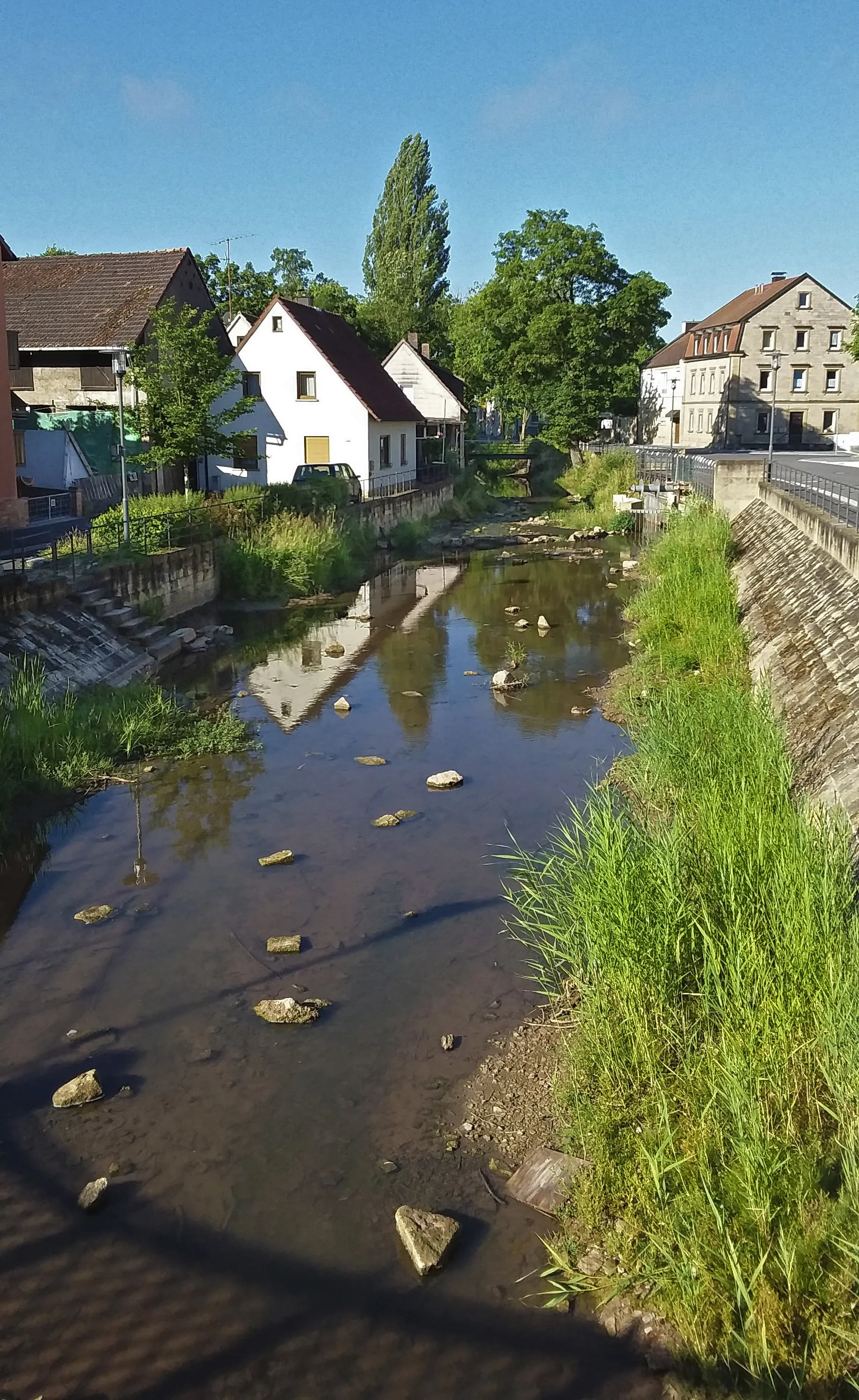
WeisbrunnVillageWeisbrunn is surrounded by idyllic nature, making it an ideal place for a tranquil break.
30 km
30 km
PriesendorfVillagePriesendorf is known for its picturesque countryside and well-maintained gravel paths.
40 km
40 km
HalbersdorfVillageHalbersdorf offers beautiful rural landscapes and a charming village atmosphere.
56 km
56 km
RoßgrundhütteShelterRoßgrundhütte is a rustic hut nestled in the forest, serving traditional local delicacies.
57 km
57 km
Silbersattel420 mMountain PassSilbersattel is a challenging climb that tests your strength and offers sweeping views at the top.
62 km
62 km
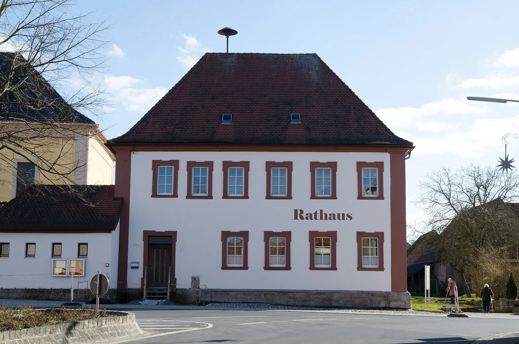
WestheimVillageWestheim is a small village with stunning views of the surrounding farmlands and countryside.
67 km
67 km
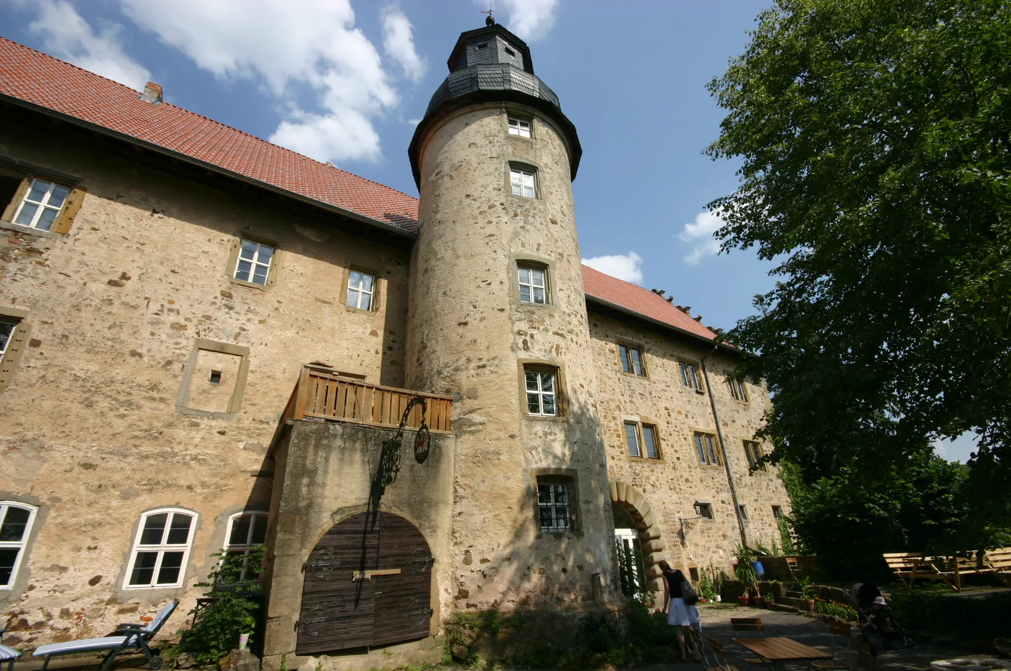
MariaburghausenSub-urbMariaburghausen is home to the breathtaking Mariaburghausen Castle, offering panoramic views of the region.
69 km
69 km
Finish: Haßfurt City centerHaßfurt: Scenic Landscapes and Historical Charm
Cycling routes nearby: