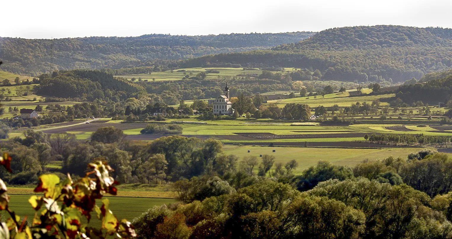
Nature and History in Unterfranken
Cycling routes from Knetzgau
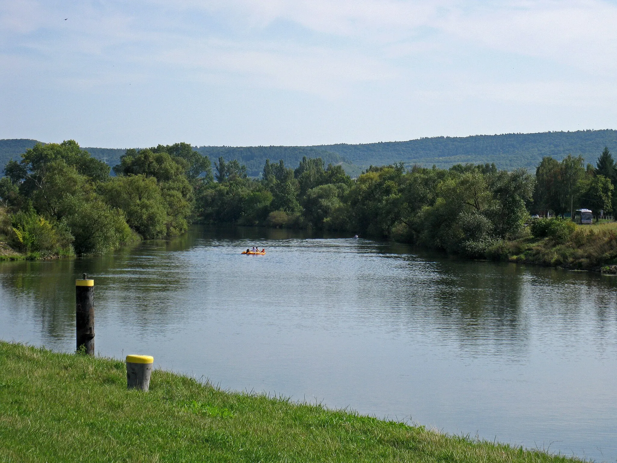
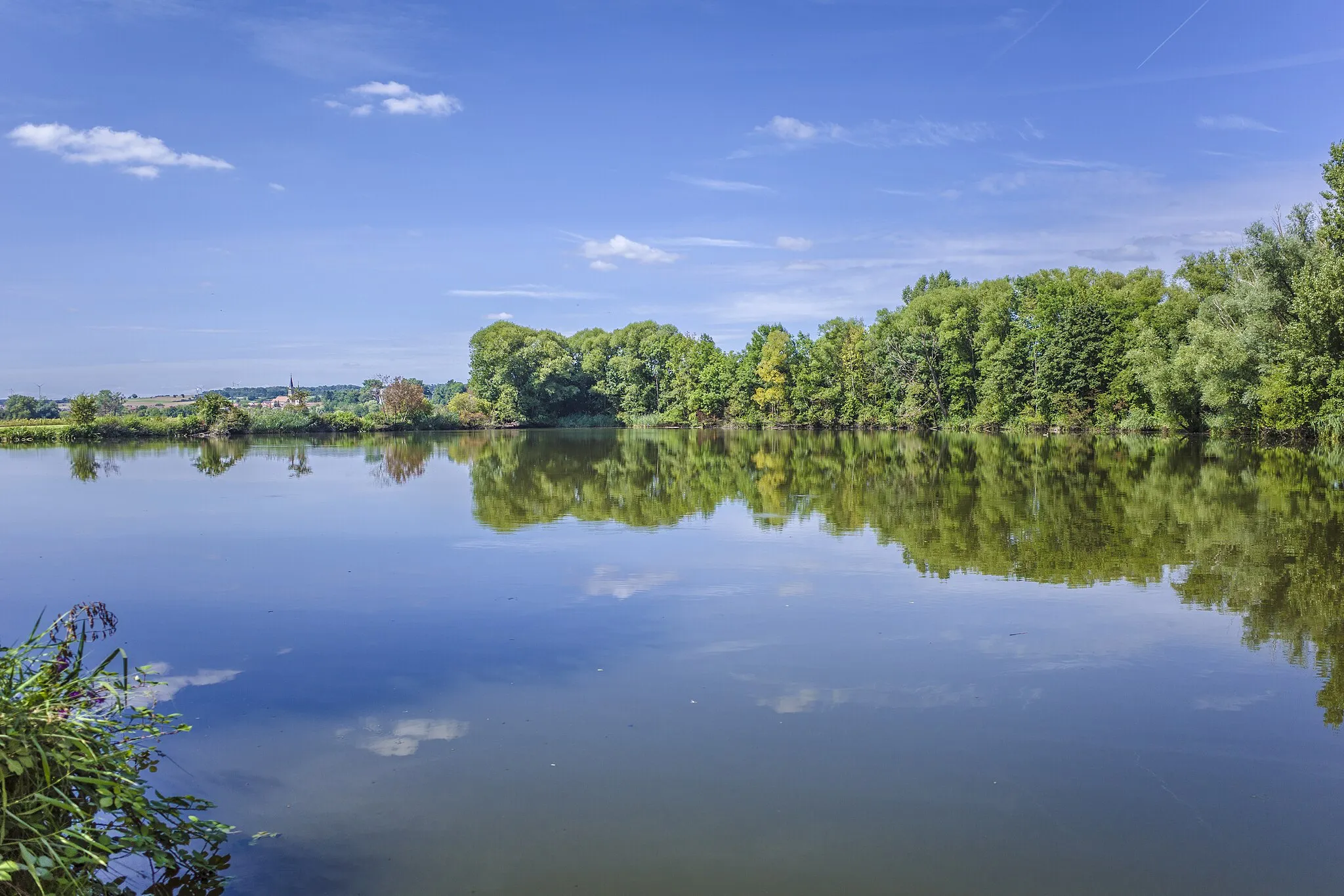
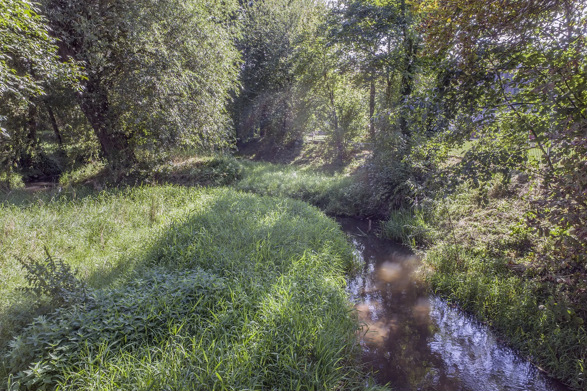
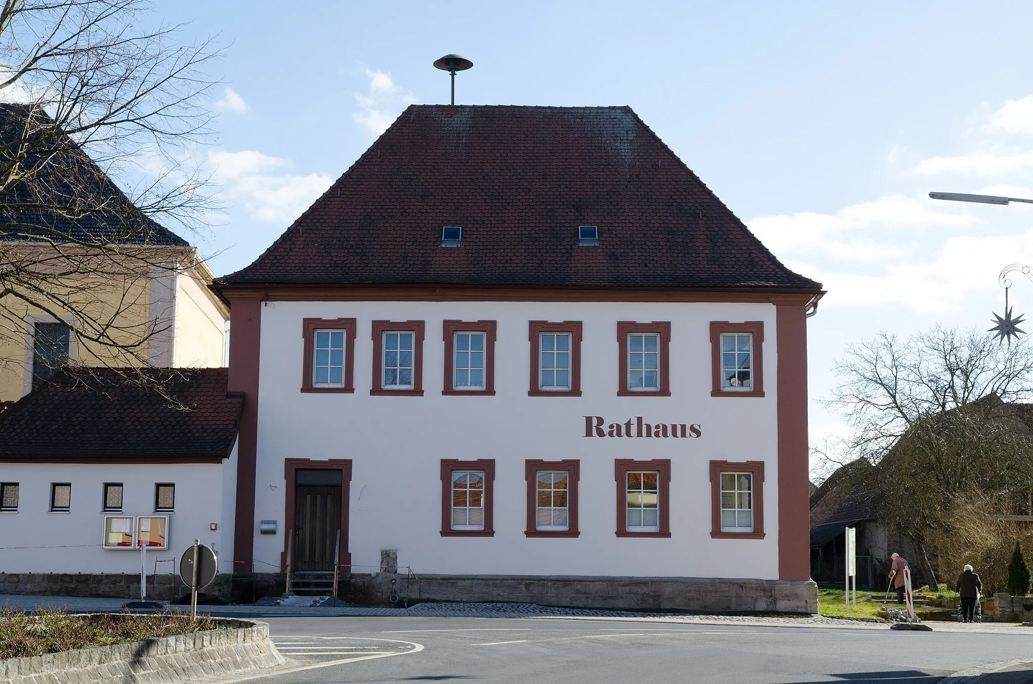
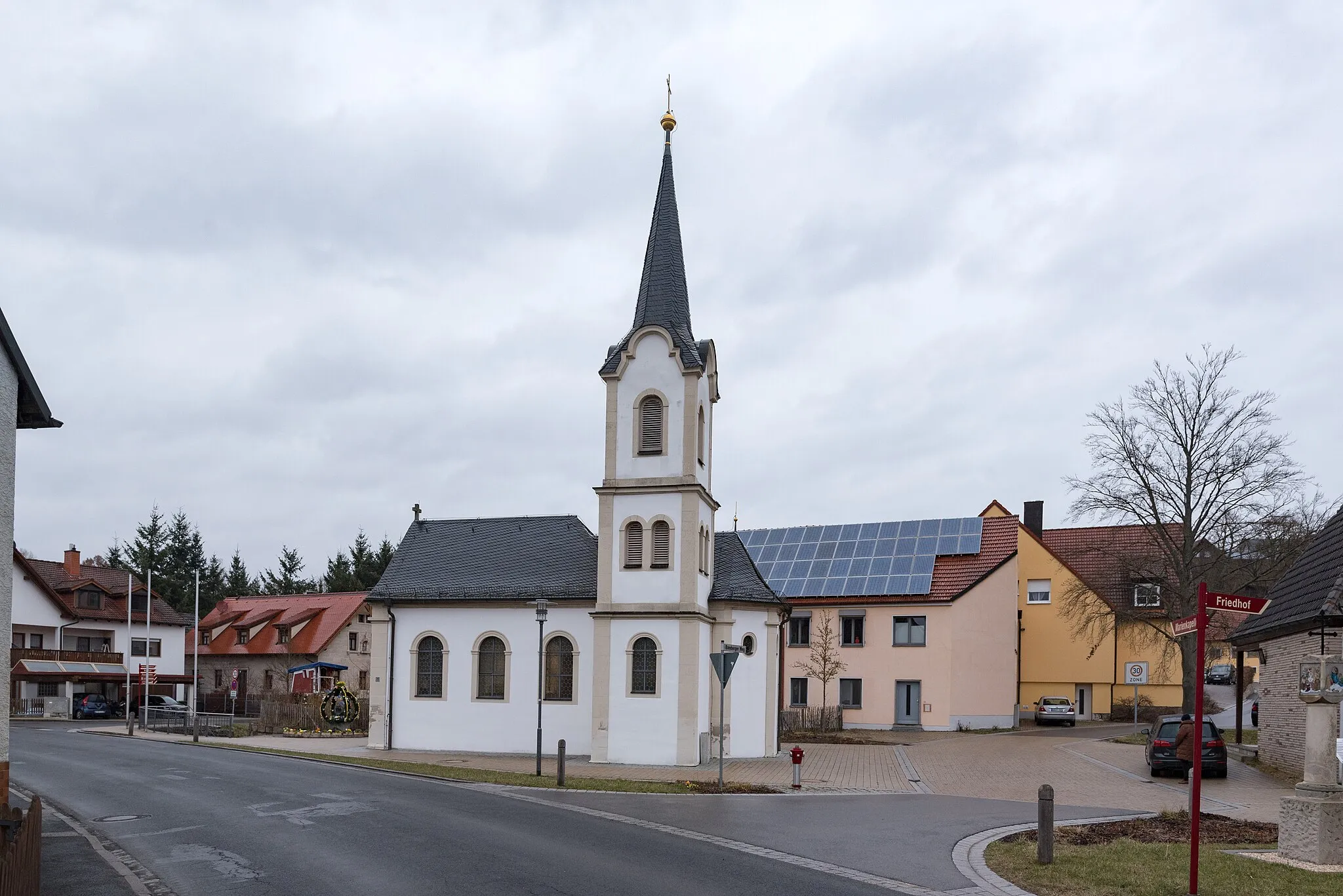
Knetzgau, situated in Unterfranken, Germany, is a charming region for road and gravel cyclists. The locality offers a mix of flat and hilly terrain, making it suitable for both leisurely rides and more challenging workouts. The Main Cycle Path, which passes through Knetzgau, is a popular route that takes cyclists along the beautiful Main River, offering picturesque views of vineyards and historical sites. With its seamless cycling infrastructure and scenic landscapes, Knetzgau provides an enticing destination for cyclists of all levels.
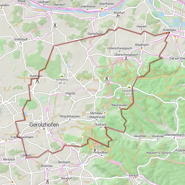
The Big Loop around Unterfranken
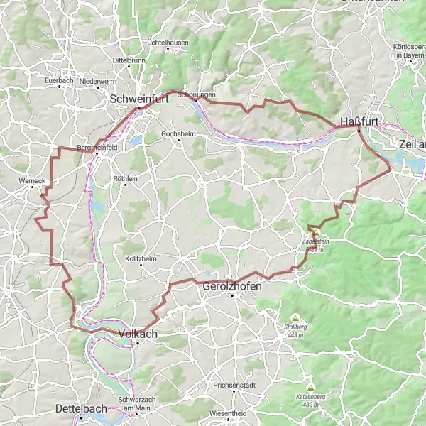
Experience the diverse landscapes of Unterfranken on this challenging gravel route.
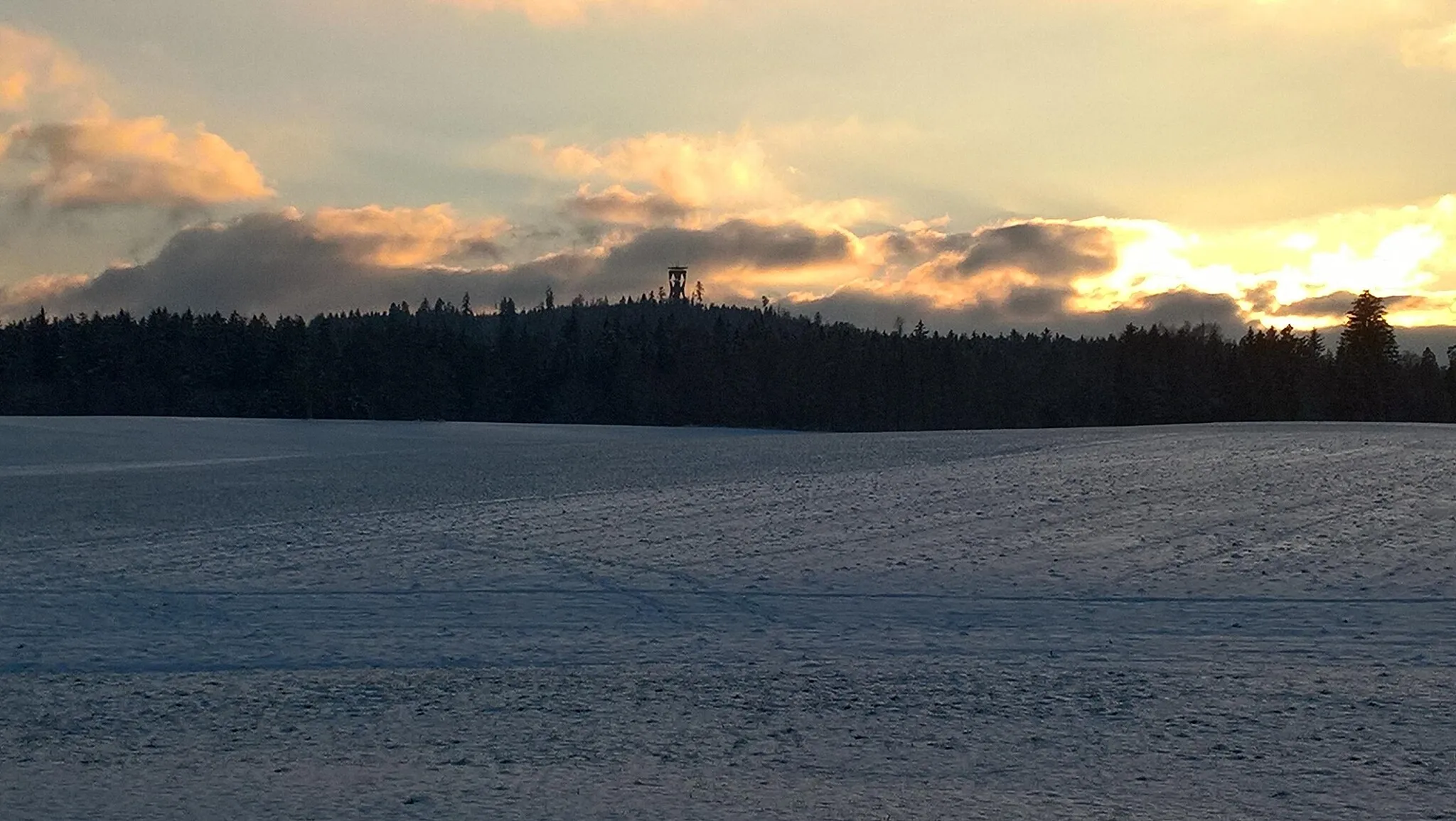
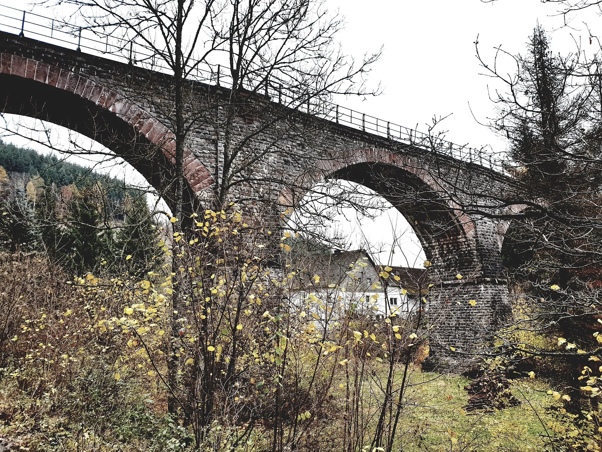
This 105-kilometer gravel route takes you on a round-trip journey through the scenic landscapes of Unterfranken. With an ascent of 938 meters, you'll encounter rolling hills and stunning views along the way. The route starts in Knetzgau and passes through Zabelstein, Michelau i.Steigerwald, Nordheim am Main, Waigolshausen, and Schweinfurt. Don't miss the opportunity to stop at highlights such as Blick auf das Schloss Werneck, a captivating viewpoint overlooking Schloss Werneck, and the Beerhüterturm, an impressive medieval tower offering panoramic views of the surrounding countryside. The Buchner Höhe 405,8m provides a challenging climb with rewarding views at the top. Finish the ride in Knetzgau, where you can relax and admire the beautiful scenery.
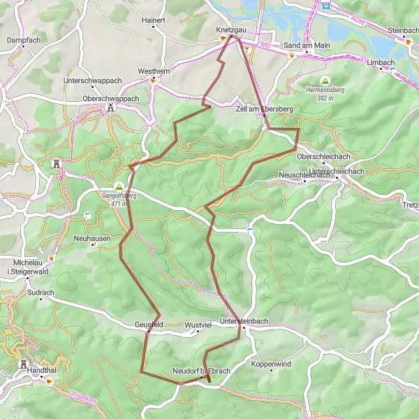
Experience off-road adventure with this gravel cycling route to Bocksberg.
For gravel bike enthusiasts, this 42-kilometer route to Bocksberg is an exciting off-road adventure. With an ascent of 717 meters, this route provides a mix of challenging climbs and rewarding descents. Starting near Knetzgau, you'll ride through scenic countryside, dense forests, and peaceful villages. Bocksberg is a perfect destination for a gravel cycling excursion, offering rugged terrain and beautiful natural surroundings.
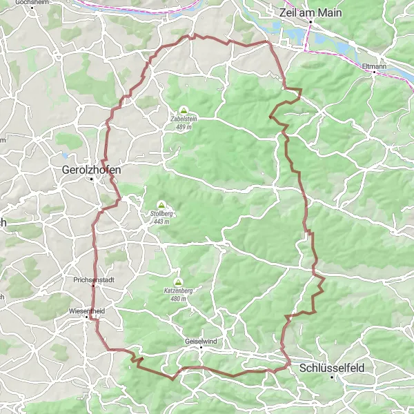
Embark on an exhilarating journey through rugged terrain and serene landscapes
Prepare yourself for a thrilling adventure as you ride through this gravel route from Knetzgau to the captivating town of Wiesentheid. With a challenging ascent of 1217 meters and a distance of 96 kilometers, this route is tailored for experienced cyclists seeking an adrenaline rush. Discover the Beerberg, a renowned cycling spot offering picturesque views, and visit the charming village of Burgwindheim. Appreciate the beauty of Aschbach as you cycle through its serene surroundings. Admire the tranquil Trauberg and immerse yourself in the historical atmosphere of Wiesentheid. Conquer the Krähenhügel, a challenging climb that rewards you with stunning vistas, before reaching the scenic Dampfach.
Experience the beauty of Unterfranken on this scenic road cycling route.
This 65-kilometer road cycling route takes you on a scenic tour through the beautiful landscapes of Unterfranken. With an ascent of 623 meters, this route offers a moderate challenge suitable for all levels of cyclists. The route starts and finishes in Knetzgau and passes through Wonfurt, Waldsachsen, Fuchsstadt, Uchenhofen, and Aussichtsturm am Sichelsee. Enjoy exploring the picturesque village of Wonfurt with its quaint houses and idyllic surroundings. Waldsachsen offers stunning views of rolling hills and lush green landscapes. As you cycle through Fuchsstadt, admire the traditional Franconian architecture and beautiful countryside. The Aussichtsturm am Sichelsee provides panoramic views of the Sichelsee and its surrounding nature. Finish the ride in Knetzgau, where you can relax and immerse yourself in the tranquil atmosphere of this charming town.
Embark on a gravel cycling adventure to Sand am Main.
Ideal for gravel bike enthusiasts, this 47-kilometer route takes you to Sand am Main. With an ascent of 504 meters, this route offers a mix of gravel paths, forest trails, and quiet country roads. Enjoy the solitude of the rural landscape as you make your way to Sand am Main, a picturesque town with a charming historic center.
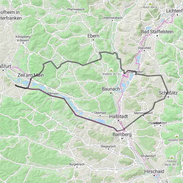
Embark on a scenic road cycling journey to Memmelsdorf.
This road cycling route takes you from Knetzgau to the charming town of Memmelsdorf. With a total distance of 96 kilometers and an ascent of 770 meters, this route is suitable for intermediate cyclists. Along the way, you'll pass through picturesque villages, rolling hills, and picturesque landscapes. Memmelsdorf offers plenty of cultural and historical attractions, making it a great destination for a day trip.
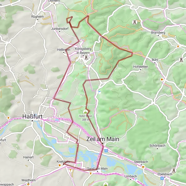
Embark on an adventurous journey through scenic landscapes and picturesque villages
This gravel route takes you through a captivating journey starting from Knetzgau and ending at the enchanting town of Königsberg in Bayern. With a challenging ascent of 655 meters and a distance of 53 kilometers, this route promises to test your cycling skills while providing breathtaking natural beauty along the way. Experience the serenity of Sichelsee from the Aussichtsturm am Sichelsee and explore the historic village of Humprechtshausen. Admire the majestic Wart, a hilltop castle ruin with panoramic views before reaching the final destination of Königsberg in Bayern.
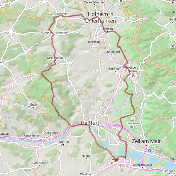
Embark on a picturesque cycling adventure surrounded by unspoiled nature
Experience the beauty of nature on this scenic gravel route starting from Knetzgau and leading you to the enchanting village of Sailershausen. With a moderate ascent of 697 meters and a distance of 64 kilometers, this route provides a refreshing cycling experience suitable for both beginner and experienced cyclists. Discover the tranquil Steinsfeld and enjoy its peaceful atmosphere. Admire the breathtaking Mainblick views and savor the charm of Schonungen. Stop by Reichmannshausen and embrace its idyllic surroundings before reaching Sailershausen, a hidden gem nestled amidst natural beauty.
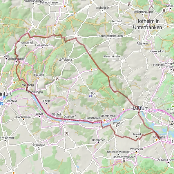
Embark on a gravel adventure through the picturesque landscapes of Unterfranken.
This 66-kilometer gravel route takes you on an adventurous journey through the scenic landscapes of Unterfranken. With an ascent of 748 meters, this route offers a moderate challenge for gravel enthusiasts seeking stunning views and serene nature. The route starts and finishes near Knetzgau and passes through Bocksberg, Neuhausen, Vollberg, Wiebelsberg, Frankenwinheim, Rotenberg, Dürrfeld, and Hainert. Highlights of the route include the Bocksberg, a hill with panoramic views of the surrounding countryside, and the Vollberg, a scenic lookout point offering breathtaking vistas. The Rotenberg provides sweeping views of the vineyards and rolling hills of Unterfranken. Completing the route in Hainert, take a moment to relax and soak up the peaceful ambiance of this charming village.
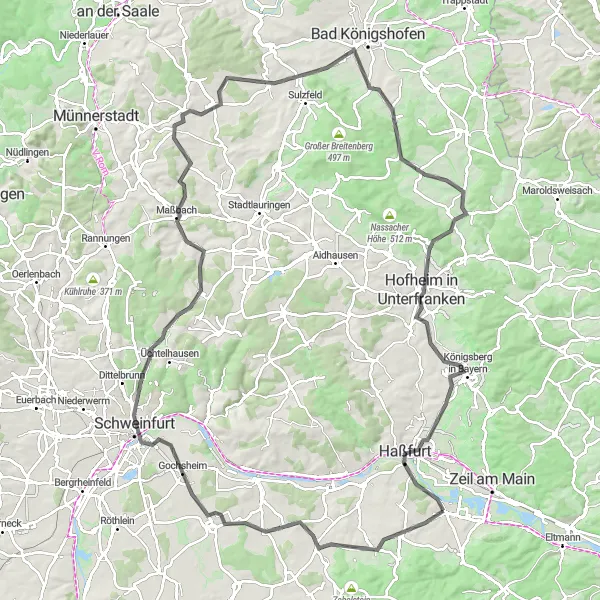
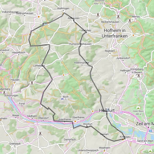
Embark on a road cycling adventure through the scenic Haßberge region.
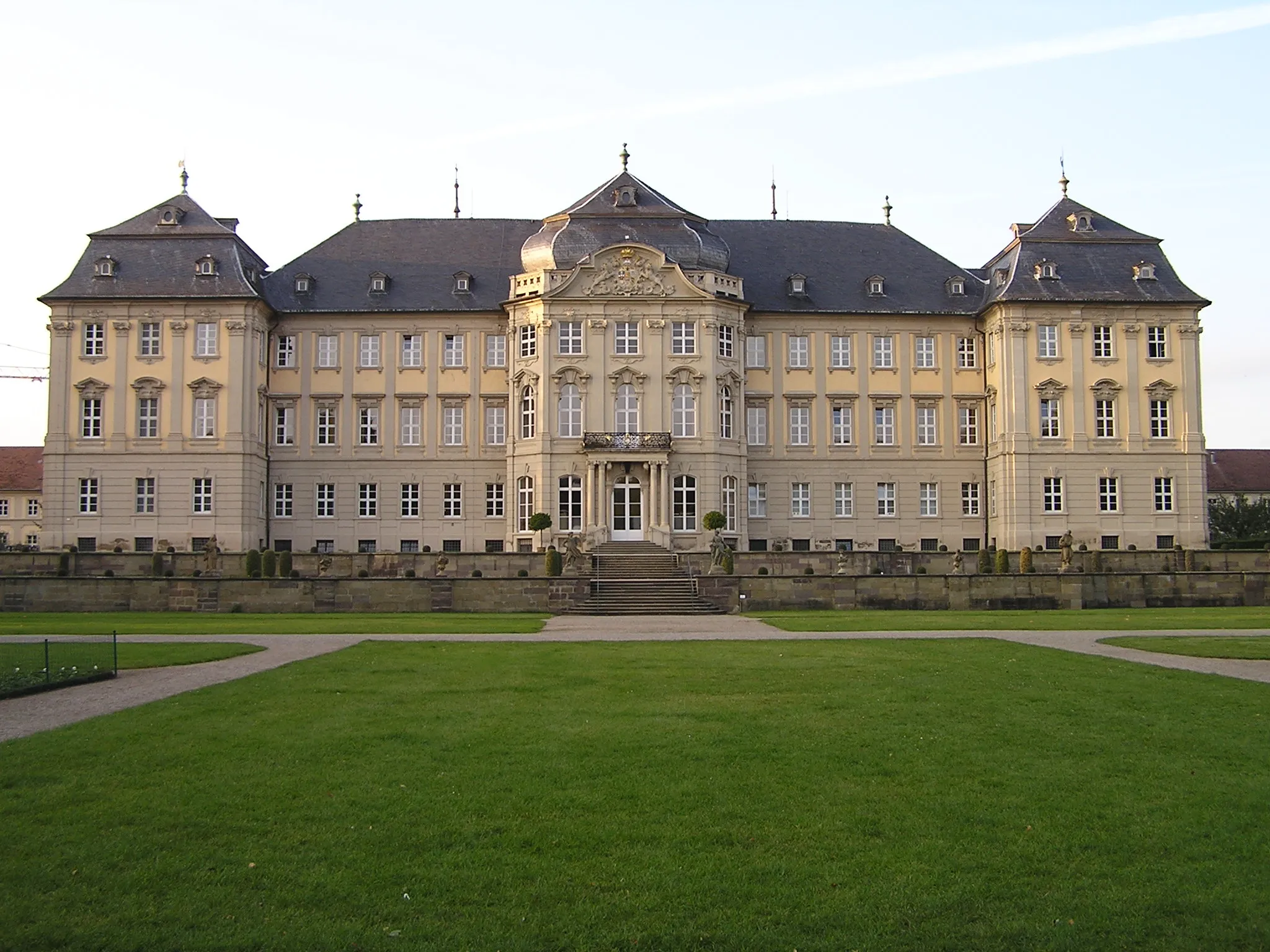
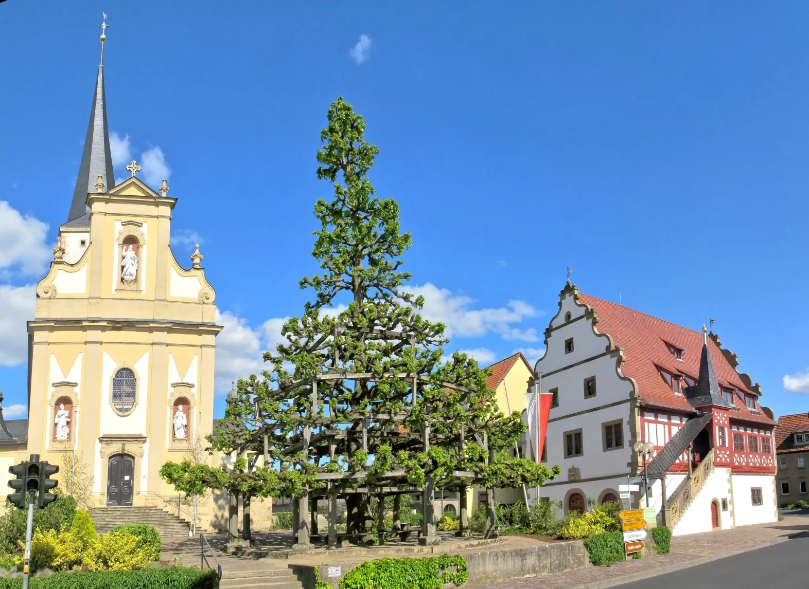
This 119-kilometer road cycling route takes you on a journey through the picturesque Haßberge region in Unterfranken. With an ascent of 1007 meters, you'll encounter challenging climbs and beautiful countryside along the way. The route starts near Knetzgau and passes through Oberschwappach, Grettstadt, Schweinfurt, and Maßbach. Highlights of the route include Oberschwappach, a charming village known for its baroque castle and beautiful landscapes. In Schweinfurt, take a moment to explore the city's historic center and learn about its industrial heritage. Maßbach is home to the German Cartoon Museum, where you can discover the world of cartoons and comics. Enjoy panoramic views of the Haßberge region from the Aussichtsturm am Sichelsee before returning to Knetzgau to complete the route.
Cycling routes nearby:
Nearby regions: