Experience the joy of cycling through Ebelsbach's diverse terrains.
Cycling routes from Ebelsbach
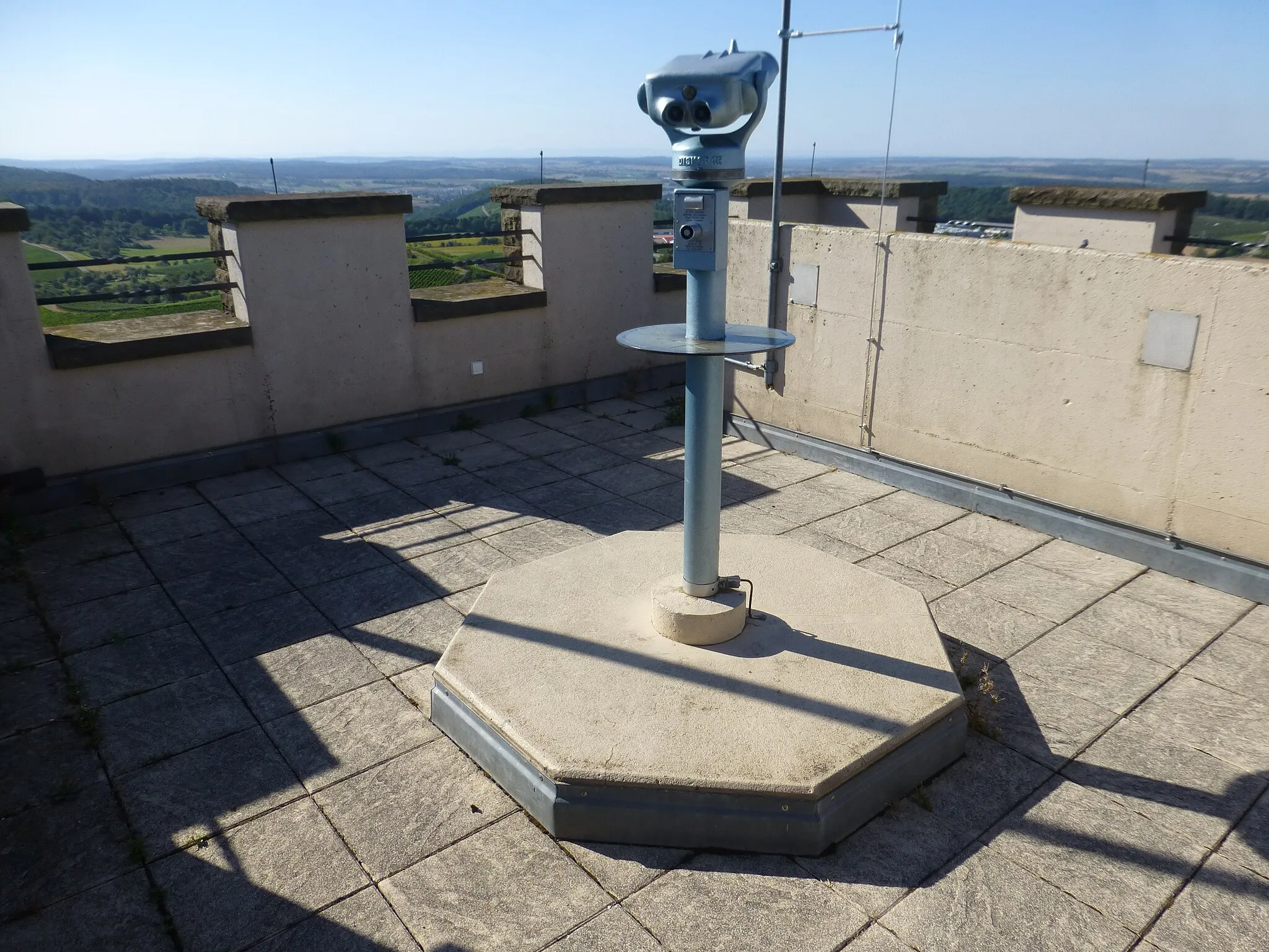
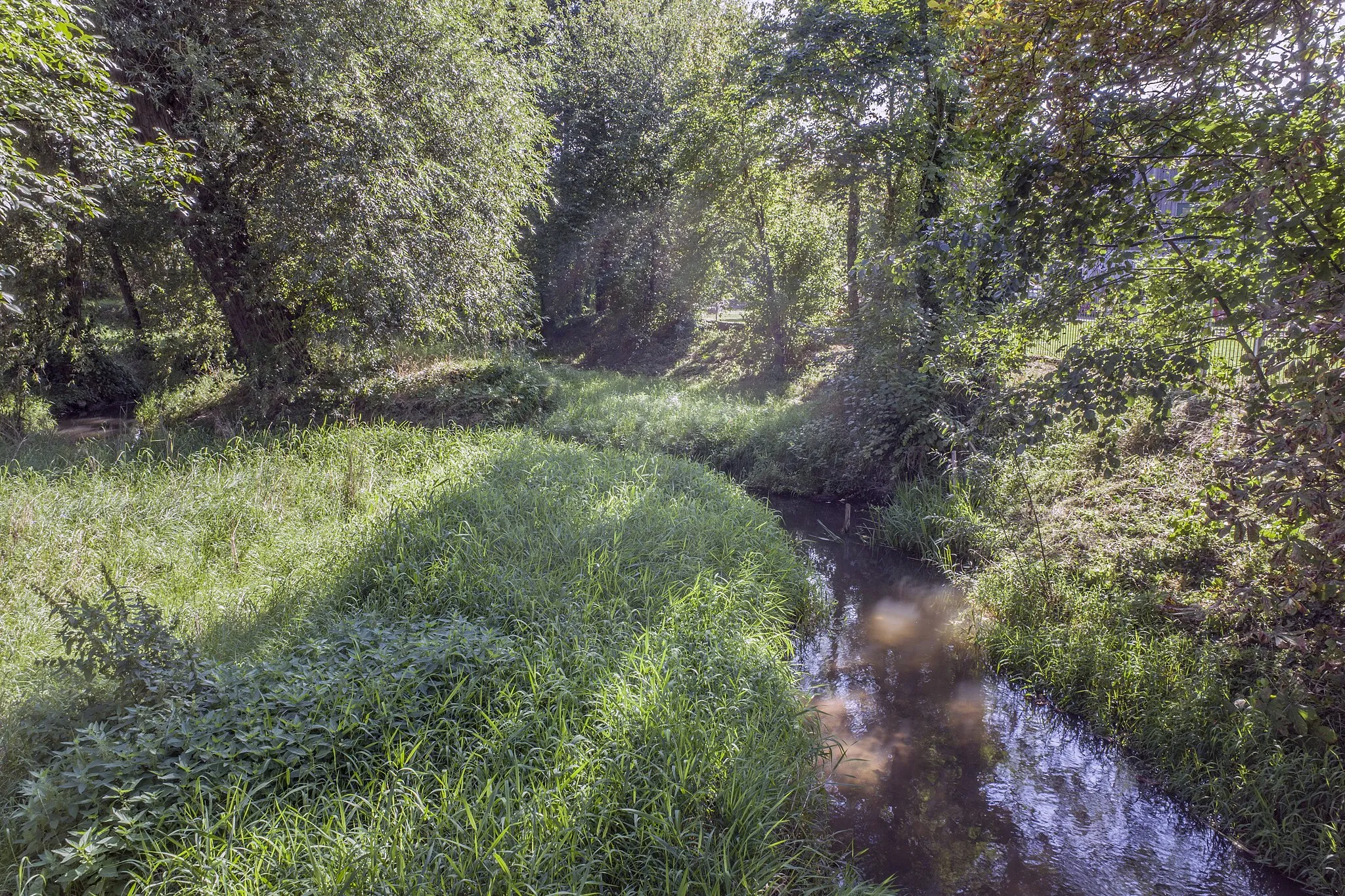
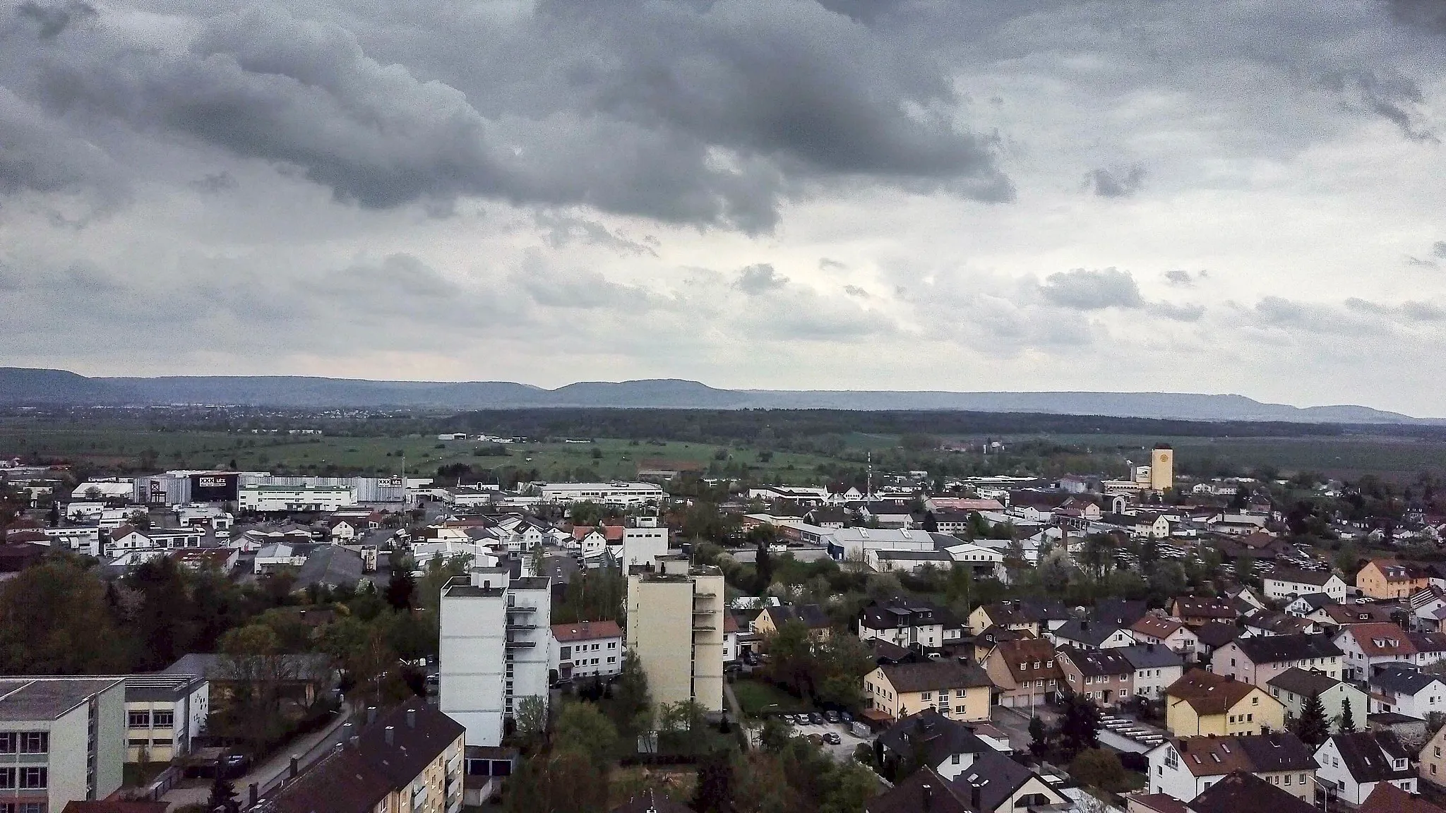
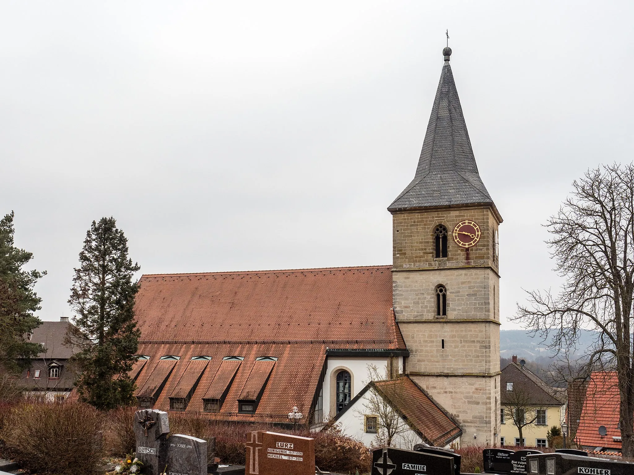
Ebelsbach, situated in Germany's Unterfranken region, provides a pleasant cycling experience. The locality offers well-maintained roads and a mix of different terrains, making it suitable for both road and gravel cyclists. While not known for any famous cycling spots or well-known climbs, Ebelsbach's cycling infrastructure and scenic landscapes make it a great choice for cyclists seeking an enjoyable ride.
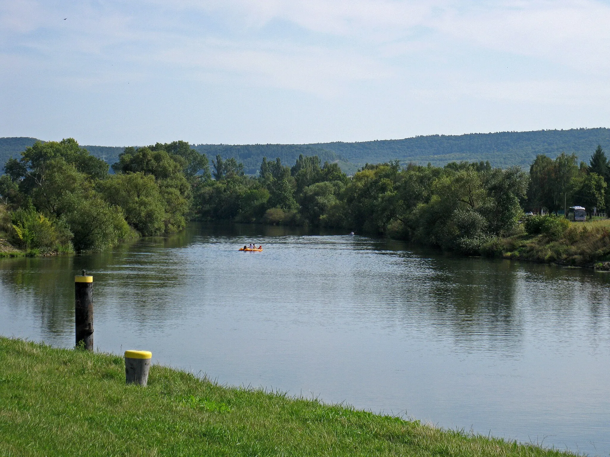
Discover the scenic Hohe Lohe region while cycling through rustic gravel roads near Ebelsbach
This gravel route takes you on a scenic journey through the Hohe Lohe region. Experience picturesque countryside landscapes, charming villages, and get a taste of traditional Franconian culture. With moderate ascents and a distance of 82 kilometers, this route is suitable for well-trained amateur cyclists looking for a challenging adventure.
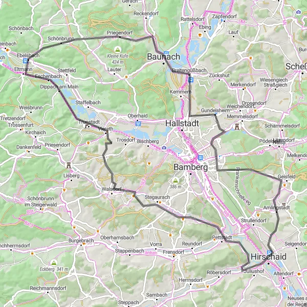
Road to Roßberg
Embark on a scenic road cycling route towards Roßberg with stunning views along the way
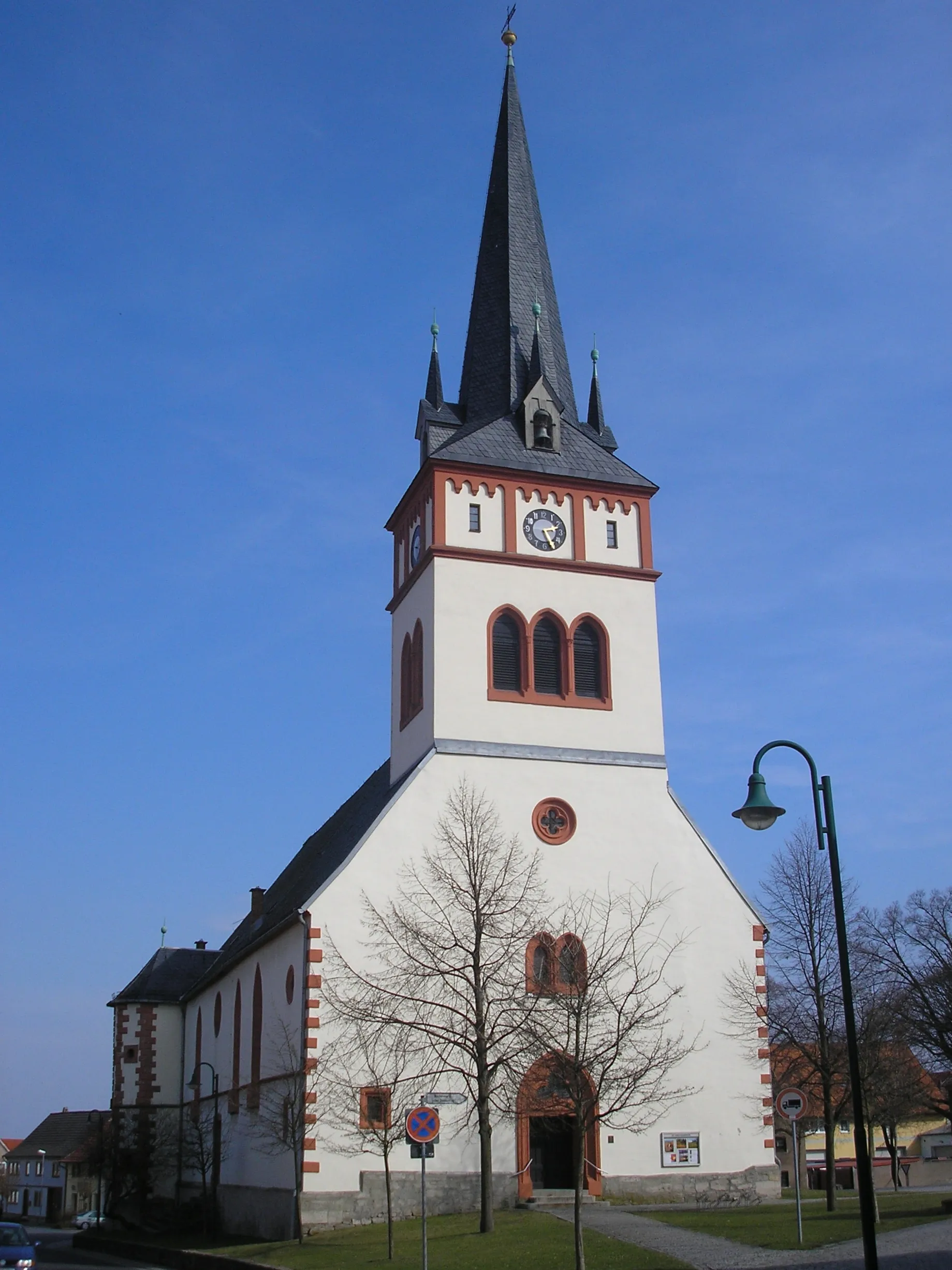
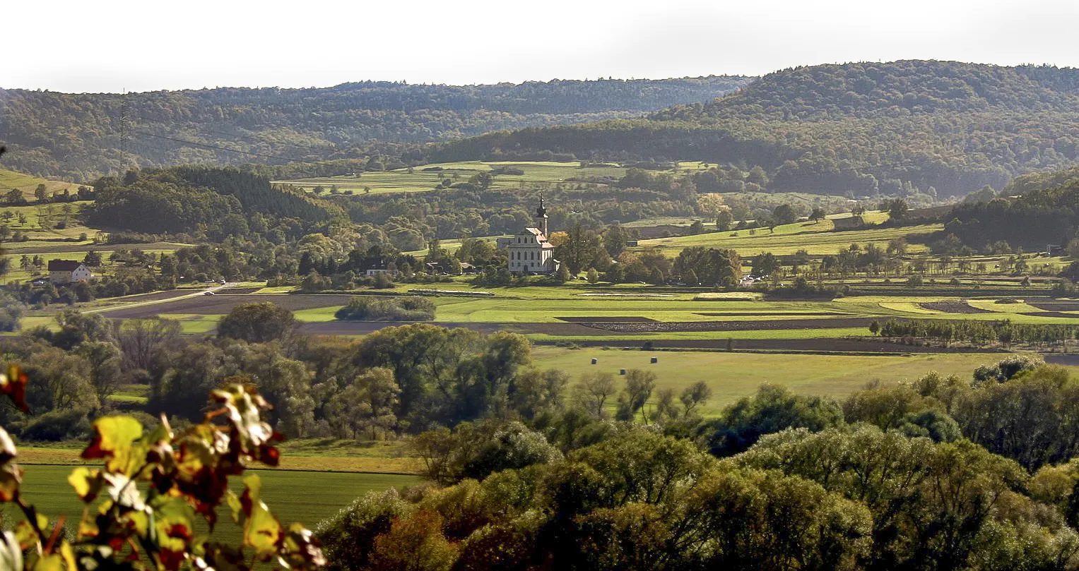
The Road to Roßberg is a 75-kilometer road cycling route starting near Ebelsbach, Unterfranken. With a total ascent of 624 meters, it is suitable for cyclists of all levels. The route takes you through picturesque villages, rolling hills, and serene countryside. One of the highlights along the way is the village of Breitbrunn, offering stunning views of the Main River. Further along the route, you will encounter the charming town of Bad Staffelstein, known for its historic buildings and natural landmarks such as the Kurpark and the Basilica of the Fourteen Holy Helpers. Overall, the Road to Roßberg provides a scenic and enjoyable cycling experience, showcasing the beauty of the Unterfranken region.
Discover the stunning scenery around Gundelsheim on this challenging road cycling route
Enjoy the natural beauty of the Gundelsheim region as you navigate through challenging road sections on this 87-kilometer route. With picturesque landscapes, quaint villages, and captivating viewpoints along the way, this road cycling experience embodies the allure of Unterfranken. Suitable for experienced amateur cyclists, this route includes moderate ascents and thrilling descents that will satisfy your craving for adventure.
Ebelsberg Adventure
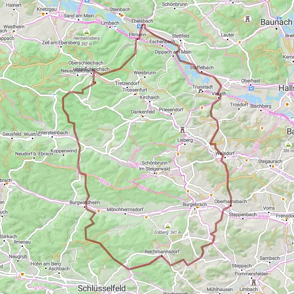
Embark on an adventurous gravel cycling route through the scenic landscapes near Ebelsbach
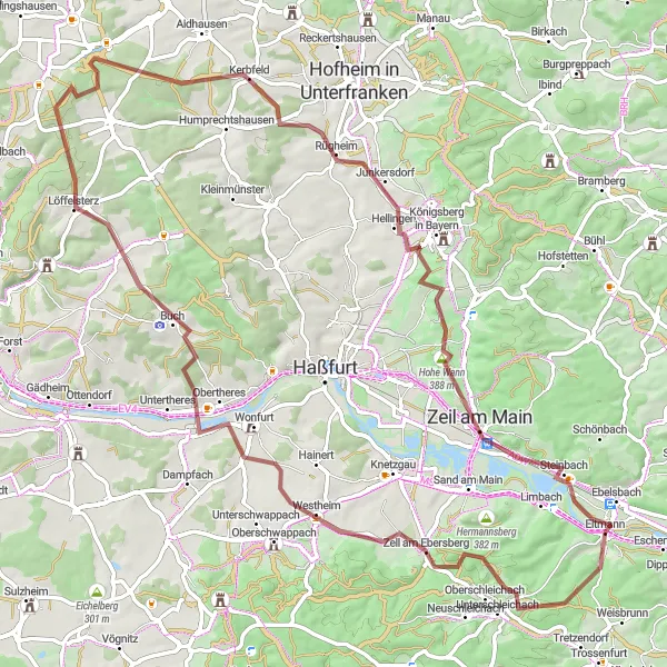
The Ebelsberg Adventure is a 77-kilometer gravel cycling route starting near Ebelsbach, Unterfranken. With a total ascent of 1040 meters, it is suitable for experienced gravel bikers looking for a challenge. This route takes you through diverse terrain, including forest trails, open fields, and small rural villages. Along the way, you will encounter the picturesque village of Walsdorf, known for its traditional half-timbered houses and charming countryside views. The highlight of the route is the climb up Burgwindheim, offering panoramic views of the surrounding Franconian countryside. Overall, the Ebelsberg Adventure provides an exciting and thrilling cycling experience, showcasing the natural beauty of the Unterfranken region.
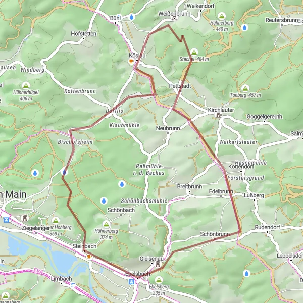
Ebelsbach Discovery

Experience the highlights of Ebelsbach and neighboring treasures on this thrilling road cycling route
Embark on an adventurous 69-kilometer road cycling journey through Ebelsbach and the surrounding areas. This exciting route combines breathtaking scenery with challenging ascents and rewarding descents. Suitable for experienced amateur cyclists, this tour allows you to explore the dynamic landscapes of Unterfranken while indulging in the rich cultural heritage of the region.
Eltmann Route
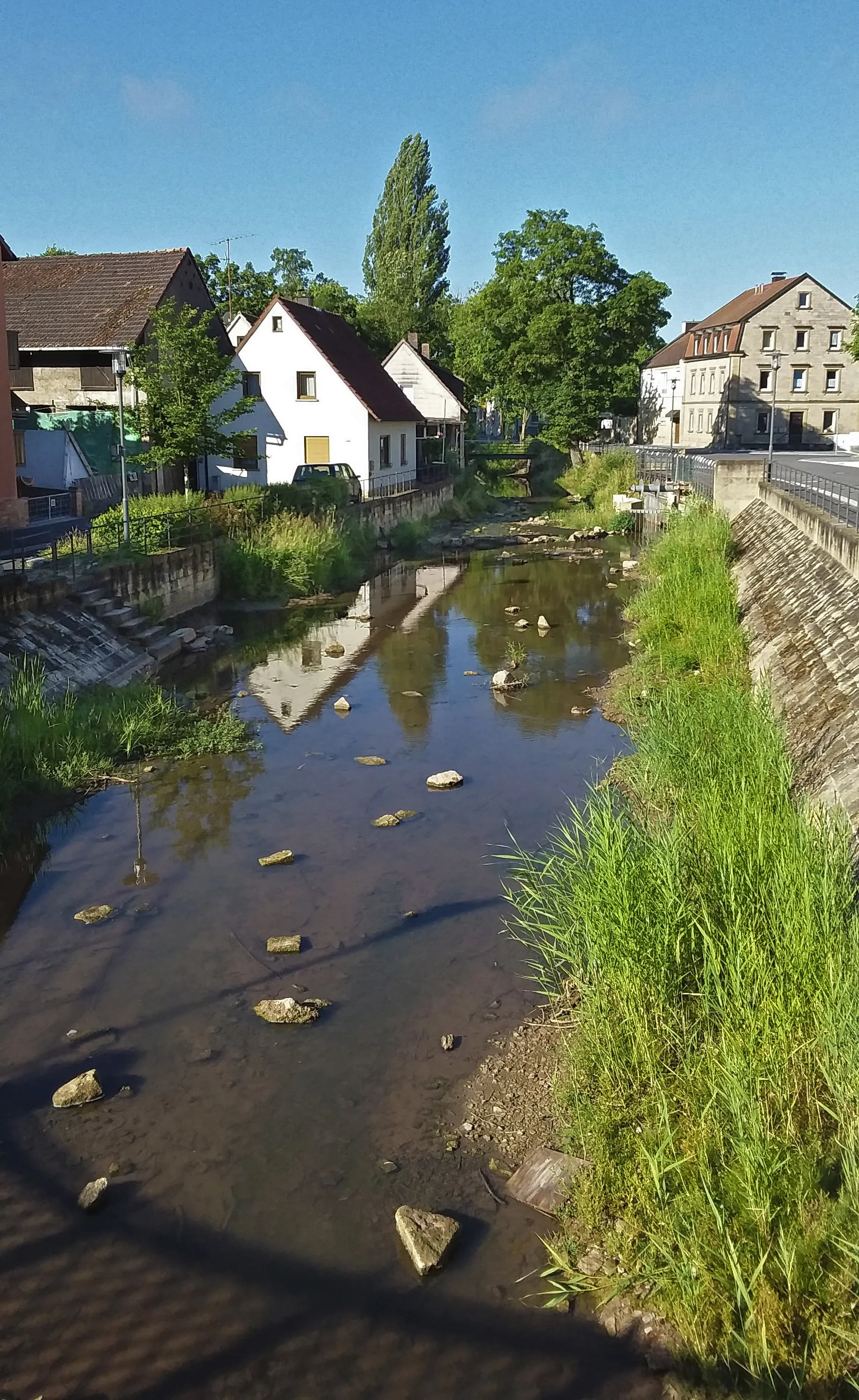
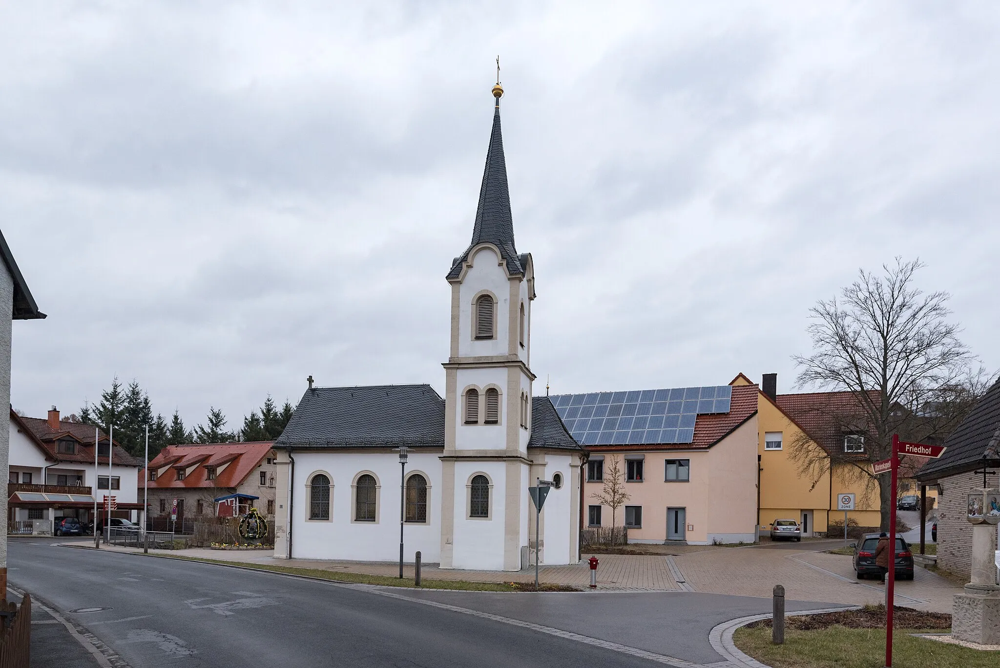
Cycle through the picturesque town of Eltmann in Unterfranken
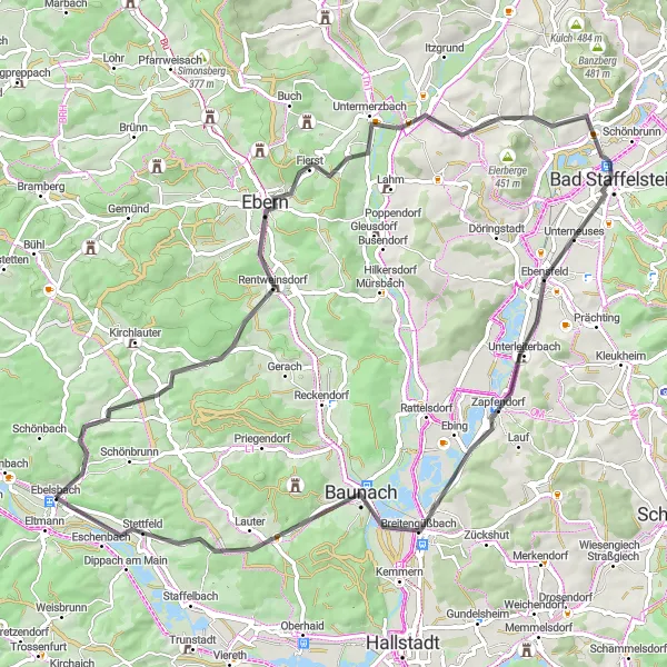
The Eltmann Route is a 50-kilometer gravel cycling route near Ebelsbach, Unterfranken. With a total ascent of 686 meters, it offers both a challenging and rewarding experience. Cycling along this route will take you through Eltmann, known for its charming architecture and historical landmarks. The diverse terrain provides a mix of rolling hills and scenic landscapes, making it an ideal choice for gravel biking enthusiasts. Overall, the Eltmann Route combines a blend of natural beauty and cultural heritage, offering a unique cycling experience in the heart of Germany.
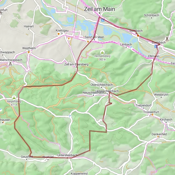
The Steinberg Circuit
Experience the beauty of Steinberg and surrounding areas on this gravel cycling route
Embark on a cycling adventure through Steinberg, as well as other breathtaking areas nearby. This 32-kilometer long gravel route offers stunning views of the region's natural beauty and showcases the tranquility of the Franconian countryside. Suitable for well-trained amateur cyclists, the route includes moderate ascents and rewarding descents for a memorable cycling experience.
Ebelsbach Road Cycling Loop
Experience the scenic beauty of Unterfranken on this challenging road cycling route
This road cycling route near Ebelsbach offers a challenging ride through the picturesque landscapes of Unterfranken. With a total ascent of 647 meters and a distance of 77 kilometers, it is suitable for well-trained amateur cyclists looking for a rewarding challenge. Along the way, you'll encounter several highlights that add to the charm of the route. The difficulty level of this route is 4 out of 5, making it ideal for experienced cyclists. The epicness of the route is rated 3 out of 5, as it offers stunning views of the surrounding countryside.
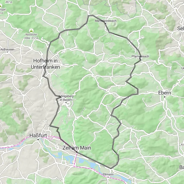
Coburg Challenge

Embark on a challenging road cycling route to Coburg known for its historical landmarks
The Coburg Challenge is a 115-kilometer road cycling route starting near Ebelsbach, Unterfranken. With a total ascent of 1278 meters, it is a challenging ride suitable for experienced cyclists. This route takes you through diverse landscapes, including rolling hills, dense forests, and open fields. One of the highlights along the way is the climb up to Hafenpreppach, offering panoramic views of the surrounding countryside. As you approach Coburg, you will be greeted by the majestic Coburg Castle, a prominent historical landmark. Overall, the Coburg Challenge provides a rewarding and memorable cycling experience, combining physical exertion with cultural exploration.
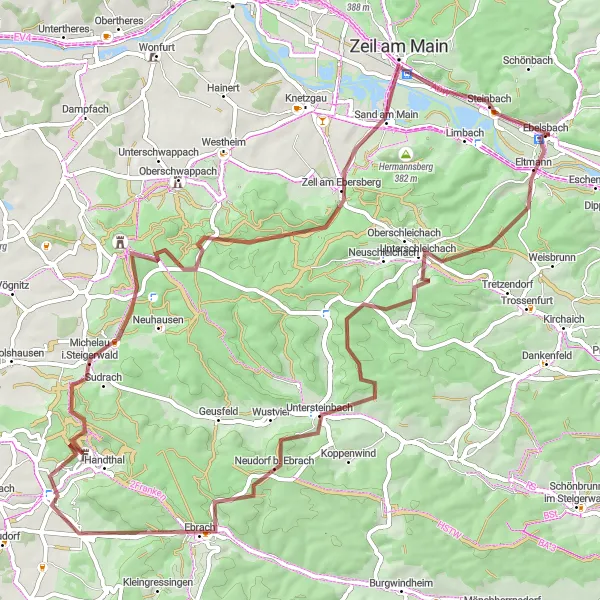
Embark on an epic gravel adventure through the serene Steigerwald region
Immerse yourself in the tranquil splendor of Steigerwald as you navigate through challenging gravel roads on this 73-kilometer route. Suitable for well-trained amateur cyclists seeking a vigorous outing, this route features steep ascents and thrilling descents. Marvel at the unspoiled beauty of Unterfranken and take in stunning panoramic views along the way.
Cycling routes nearby:


Nearby regions: