Road to Roßberg
A road cycling route starting from Ebelsbach
Embark on a scenic road cycling route towards Roßberg with stunning views along the way
Map
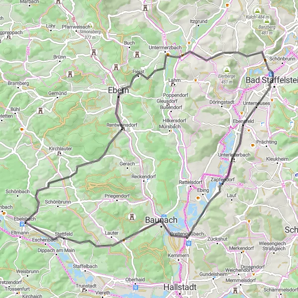
The Road to Roßberg is a 75-kilometer road cycling route starting near Ebelsbach, Unterfranken. With a total ascent of 624 meters, it is suitable for cyclists of all levels. The route takes you through picturesque villages, rolling hills, and serene countryside. One of the highlights along the way is the village of Breitbrunn, offering stunning views of the Main River. Further along the route, you will encounter the charming town of Bad Staffelstein, known for its historic buildings and natural landmarks such as the Kurpark and the Basilica of the Fourteen Holy Helpers. Overall, the Road to Roßberg provides a scenic and enjoyable cycling experience, showcasing the beauty of the Unterfranken region.
road
75 km
624 m
Chill
Route profile
Highlights on the route
0 km
0 km
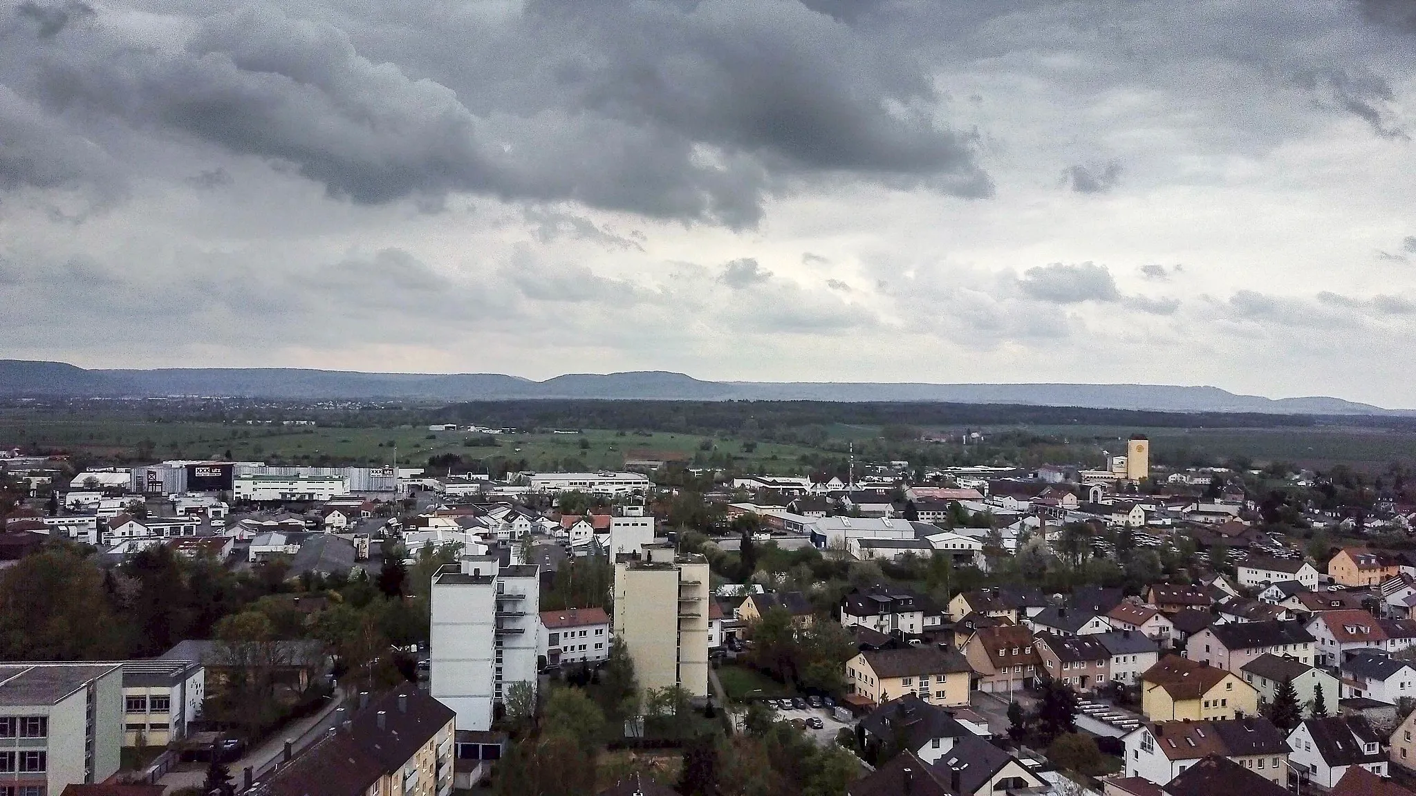
Start: Ebelsbach Village centerEbelsbach: Experience the joy of cycling through Ebelsbach's diverse terrains.
Ebelsbach, situated in Germany's Unterfranken region, provides a pleasant cycling experience. The locality offers well-maintained roads and a mix of different terrains, making it suitable for both road and gravel cyclists. While not known for any famous cycling spots or well-known climbs, Ebelsbach's cycling infrastructure and scenic landscapes make it a great choice for cyclists seeking an enjoyable ride.3 km
3 km
Roßberg310 mPeakRoßberg offers panoramic views of the surrounding countryside. Take a moment to rest and enjoy the breathtaking scenery before continuing your ride.
5 km
5 km
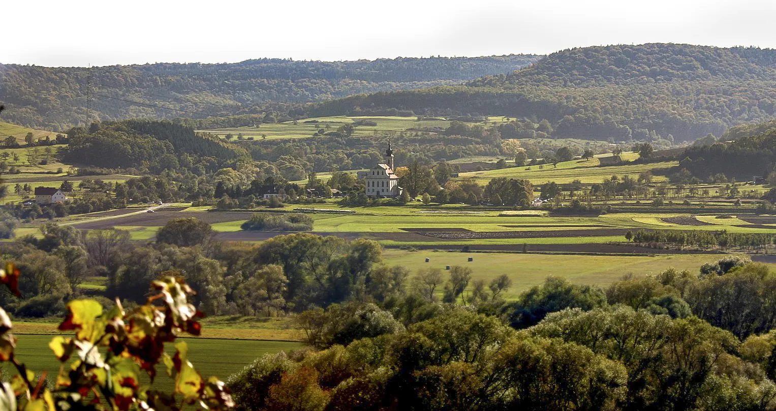
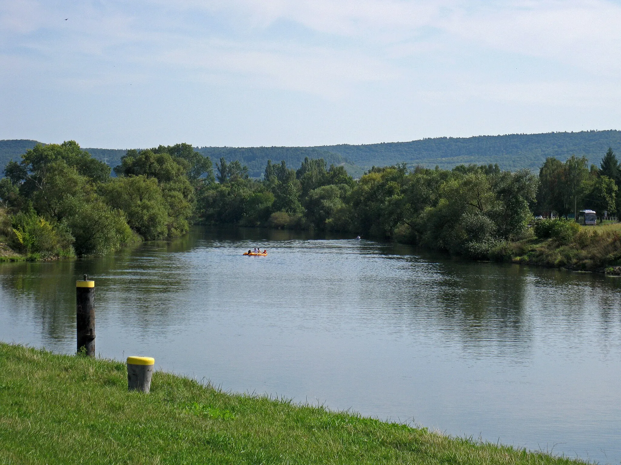
BreitbrunnVillageBreitbrunn is known for its stunning viewpoint overlooking the Main River. Stop for a moment to take in the beautiful landscape and capture some memorable photos.
15 km
15 km
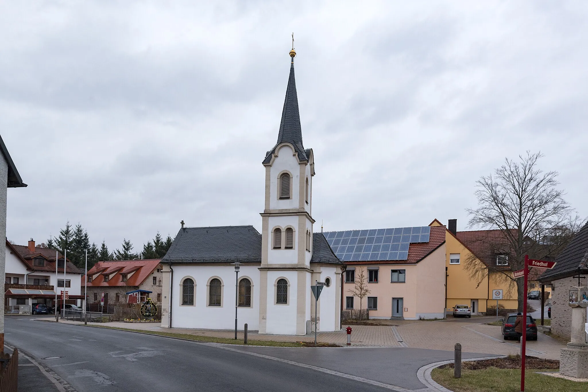
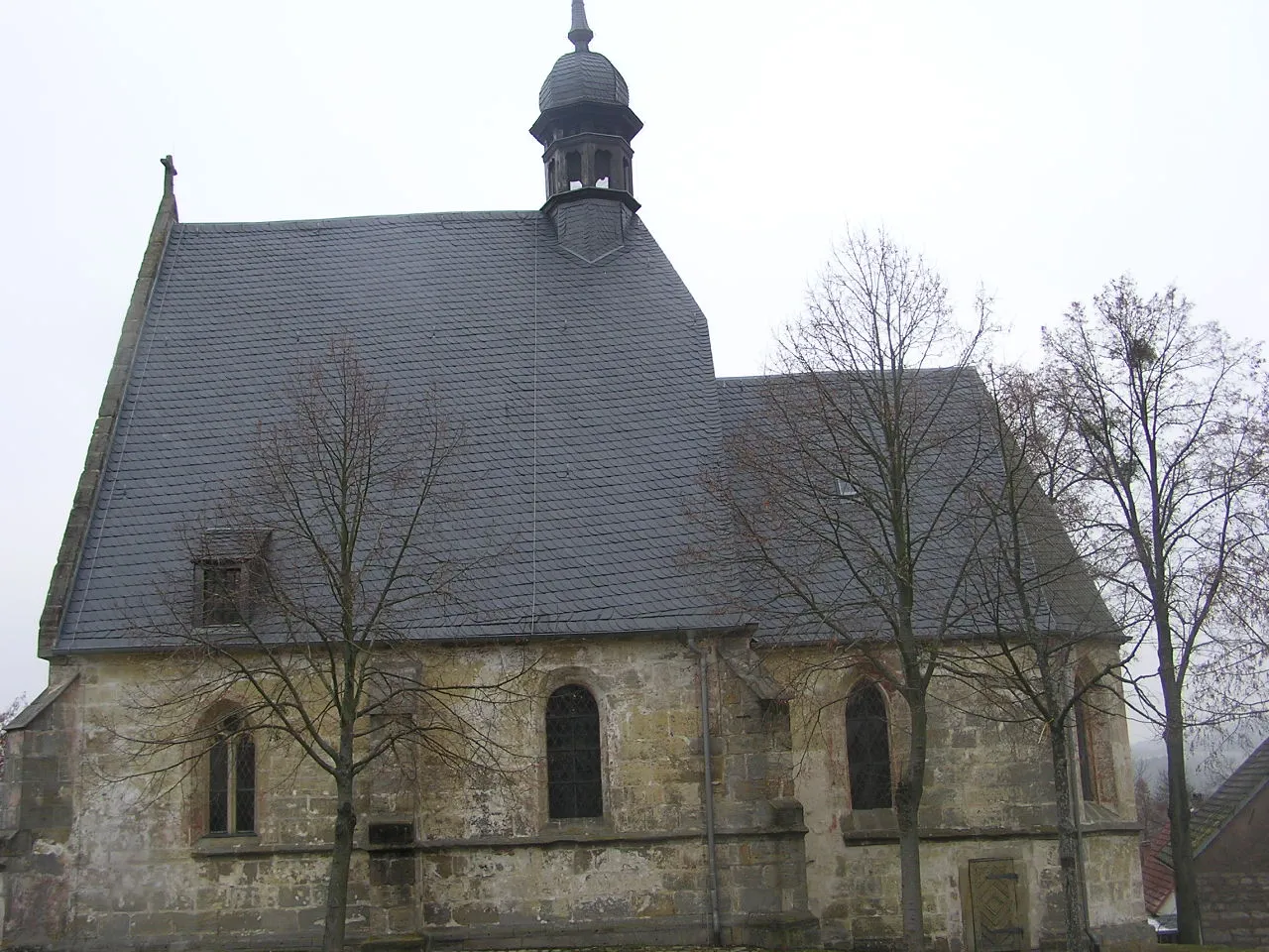
RentweinsdorfVillageRentweinsdorf, a small village along the route, has preserved its traditional Franconian character. Cycle through the village and admire the well-preserved architecture.
23 km
23 km
Unterer BergViewpointUnterer Berg is a scenic location with panoramic views of the surrounding hills and meadows. Take a moment to appreciate the natural beauty of the area.
36 km
36 km
MaintalblickViewpointMaintalblick offers stunning views of the Main Valley. Visit the observation deck and take in the breathtaking scenery.
39 km
39 km
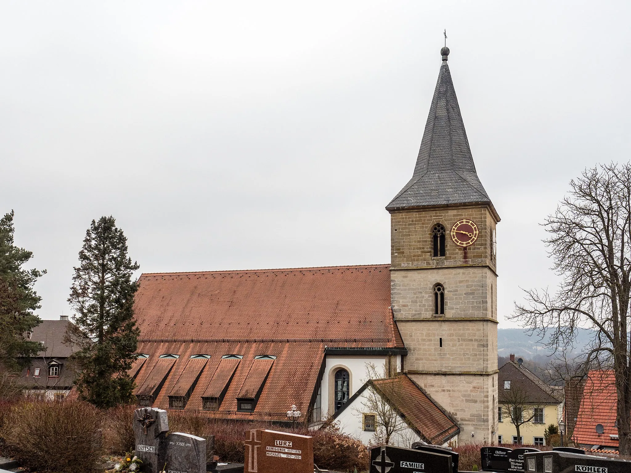
Bad StaffelsteinTownBad Staffelstein is a popular tourist destination known for its natural beauty and historic landmarks. Explore the Kurpark, visit the Basilica of the Fourteen Holy Helpers, and enjoy the charming atmosphere of the town.
57 km
57 km
BreitengüßbachVillageBreitengüßbach is a picturesque village located along the route. Stop by the local bakery and try some traditional Franconian pastries.
71 km
71 km
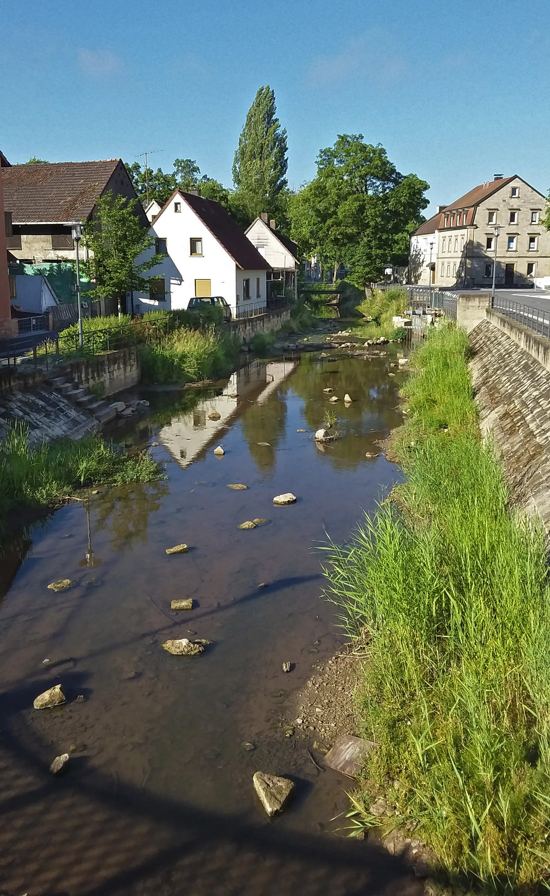
StettfeldVillageStettfeld, a small village with a rich history, offers an opportunity to immerse yourself in the local culture. Visit the town museum and learn about the village's past.
75 km
75 km
Ebelsberg335 mPeakEbelsberg, the starting point of the route, is known for its scenic beauty and charming streets. Take a moment to explore the town center and admire its traditional Franconian architecture.
75 km
75 km
Finish: Ebelsbach Village centerEbelsbach: Experience the joy of cycling through Ebelsbach's diverse terrains.
Cycling routes nearby: