Gravel Cycling Adventure to Sand am Main
A gravel cycling route starting from Knetzgau
Embark on a gravel cycling adventure to Sand am Main.
Map
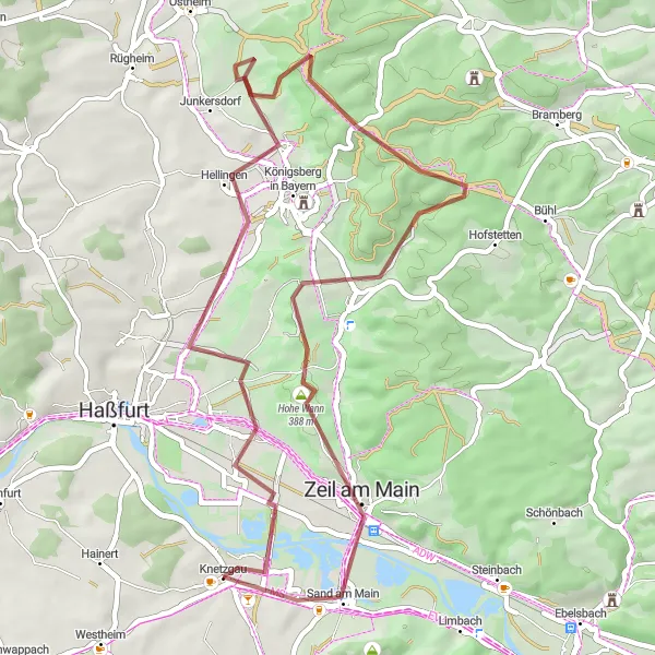
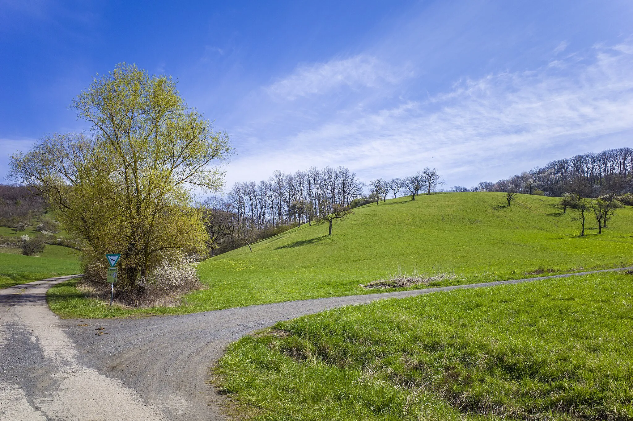
Ideal for gravel bike enthusiasts, this 47-kilometer route takes you to Sand am Main. With an ascent of 504 meters, this route offers a mix of gravel paths, forest trails, and quiet country roads. Enjoy the solitude of the rural landscape as you make your way to Sand am Main, a picturesque town with a charming historic center.
gravel
47 km
504 m
Chill
Route profile
Highlights on the route
0 km
0 km
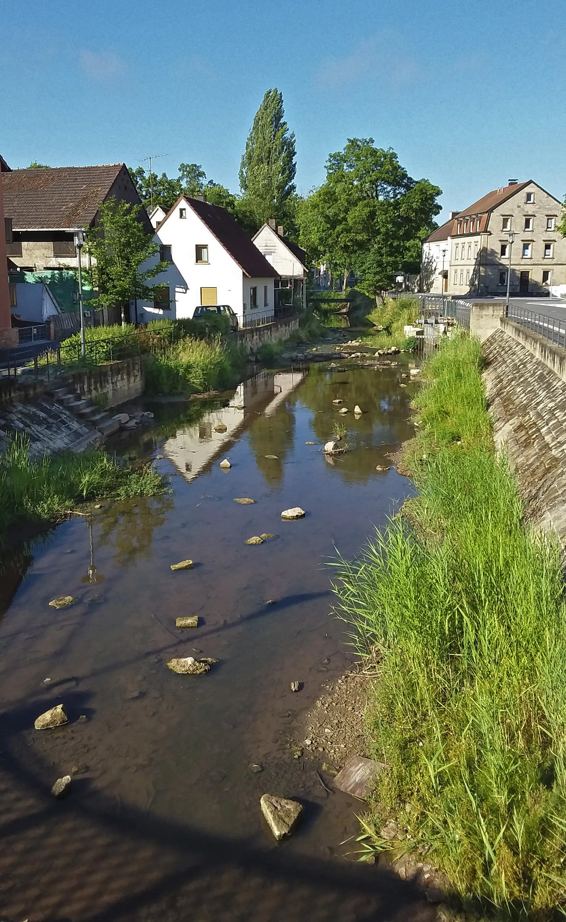
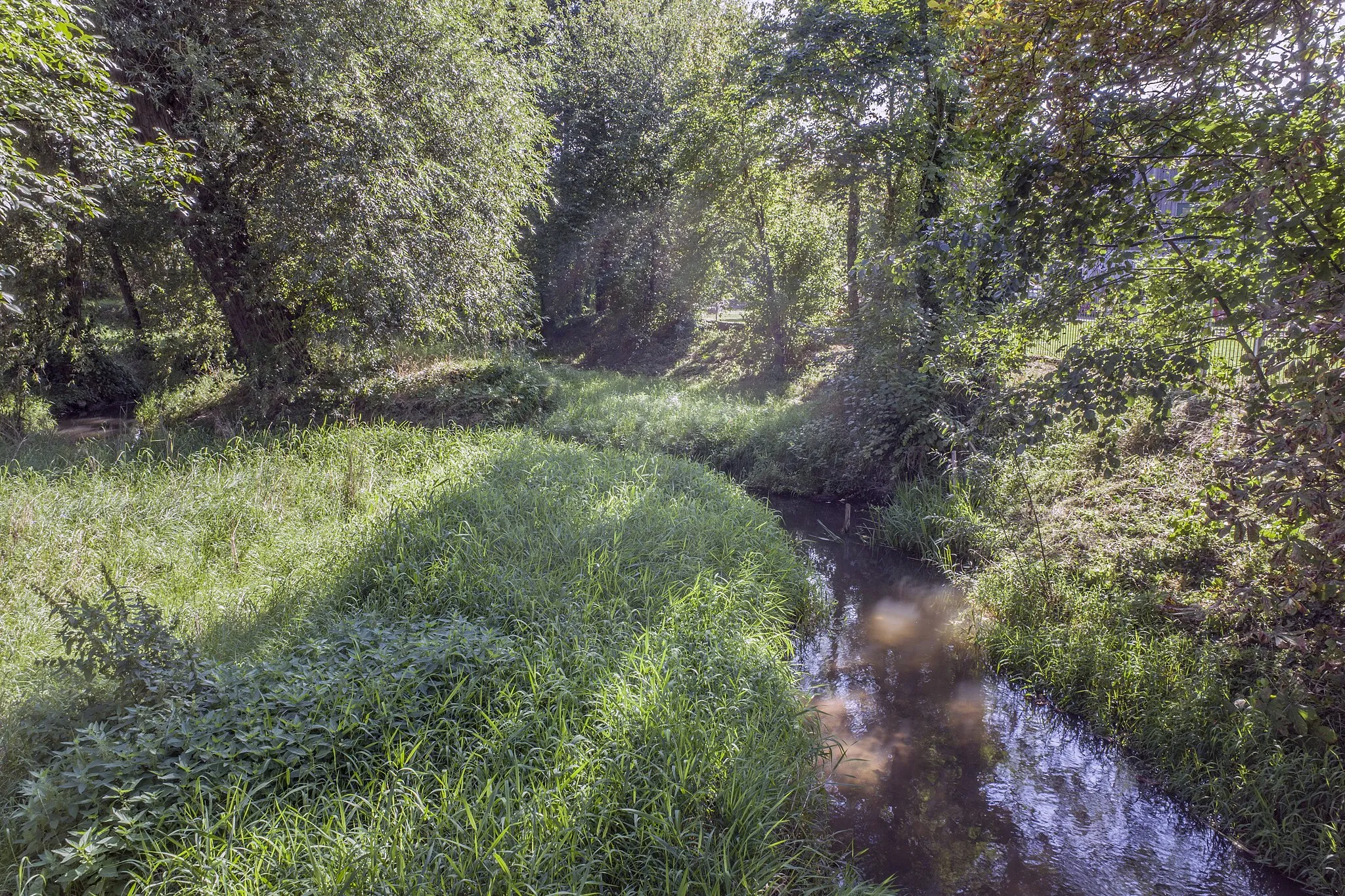
Start: Knetzgau Village centerKnetzgau: Nature and History in Unterfranken
Knetzgau, situated in Unterfranken, Germany, is a charming region for road and gravel cyclists. The locality offers a mix of flat and hilly terrain, making it suitable for both leisurely rides and more challenging workouts. The Main Cycle Path, which passes through Knetzgau, is a popular route that takes cyclists along the beautiful Main River, offering picturesque views of vineyards and historical sites. With its seamless cycling infrastructure and scenic landscapes, Knetzgau provides an enticing destination for cyclists of all levels.0 km
0 km
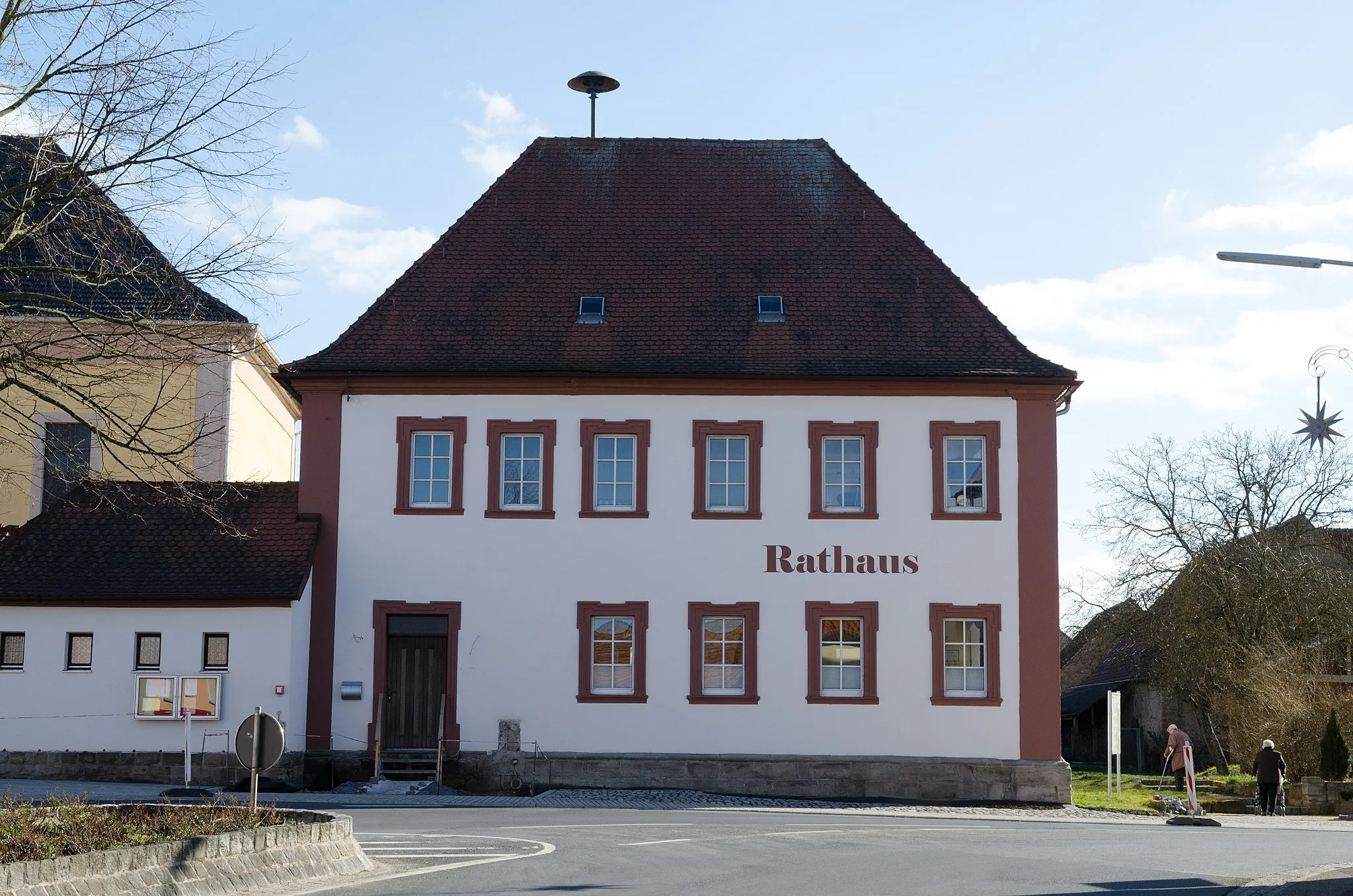
KnetzgauVillageKnetzgau is a small town with a rich history and charming architecture.
16 km
16 km
HuthäuschenViewpointHuthäuschen is a traditional Franconian hamlet known for its peaceful atmosphere and rural charm.
16 km
16 km
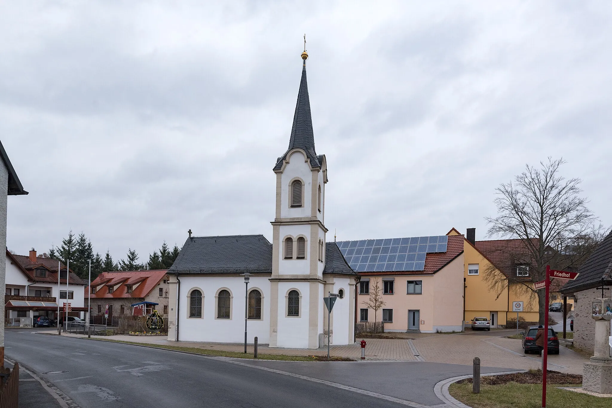
UnfindenVillageUnfinden is a historic village with beautiful architecture and a tranquil ambiance.
32 km
32 km
Hahn383 mPeakHahn is a tranquil village surrounded by forests and farmland, perfect for a peaceful cycling break.
32 km
32 km
AltershausenHamletAltershausen is a small village with historic buildings and picturesque surroundings.
37 km
37 km
Hohe Wann388 mPeakHohe Wann is a scenic hill with panoramic views of the Franconian countryside.
43 km
43 km
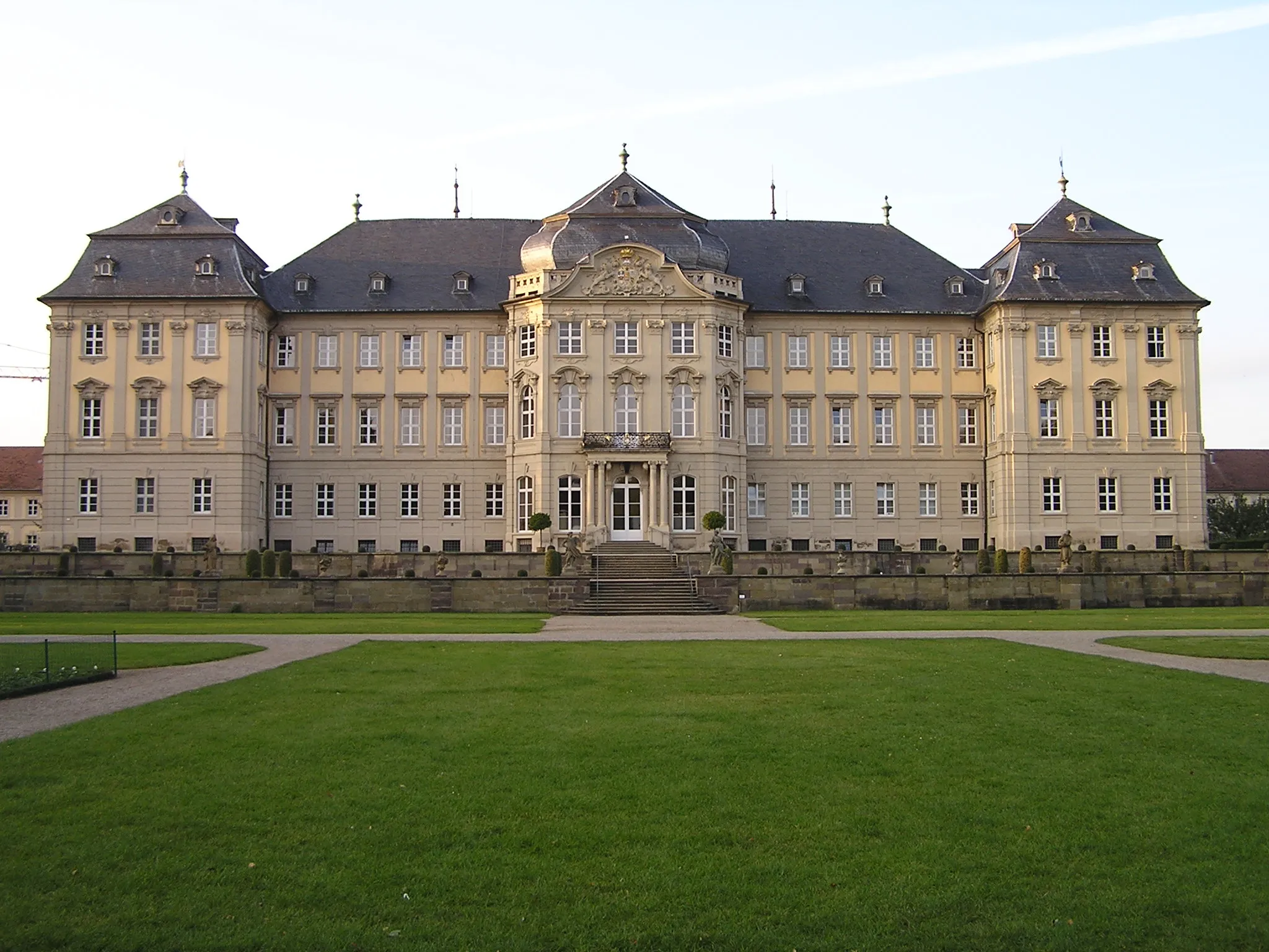
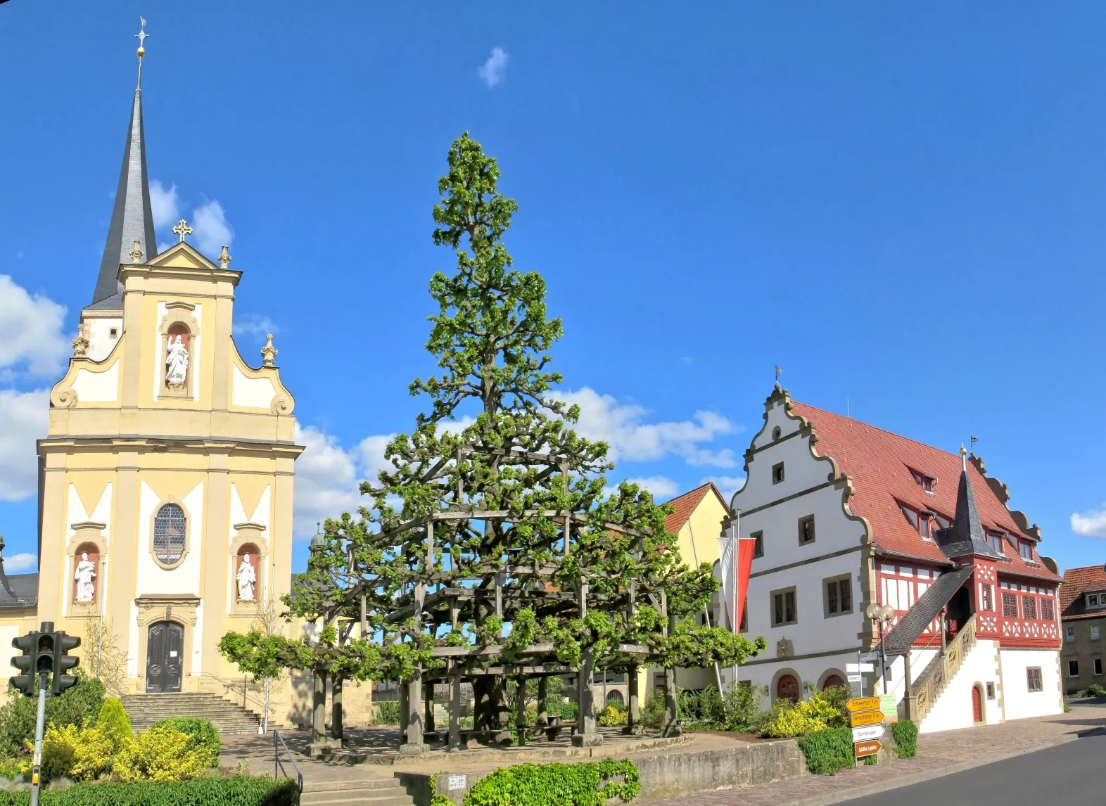
Sand am MainVillageSand am Main is a picturesque town with a charming historic center and beautiful riverside views.
47 km
47 km
Finish: Knetzgau Village centerKnetzgau: Nature and History in Unterfranken
Cycling routes from Knetzgau:
Gravel Cycling Route to Bocksberg Gravel Cycling Expedition to Kloster Ebrach Gravel Cycling Adventure to Sand am Main The Gravel Adventure The Big Loop around Unterfranken Exploring the Heart of Unterfranken Road Cycling Route Through Unterfranken Scenic Road Cycling Route to Memmelsdorf Discovery Tour of Landkreis Haßberge Charming Tour through Unterfranken Discover the Magnificent Gravel Route to Königsberg in Bayern Challenge Yourself on the Epic Gravel Route to Wiesentheid Explore the Scenic Gravel Route to Sailershausen
Cycling routes nearby: