The Hill Challenge
A gravel cycling route starting from Hassfurt
Take on the ultimate hill challenge near Haßfurt on this gravel cycling route.
Map

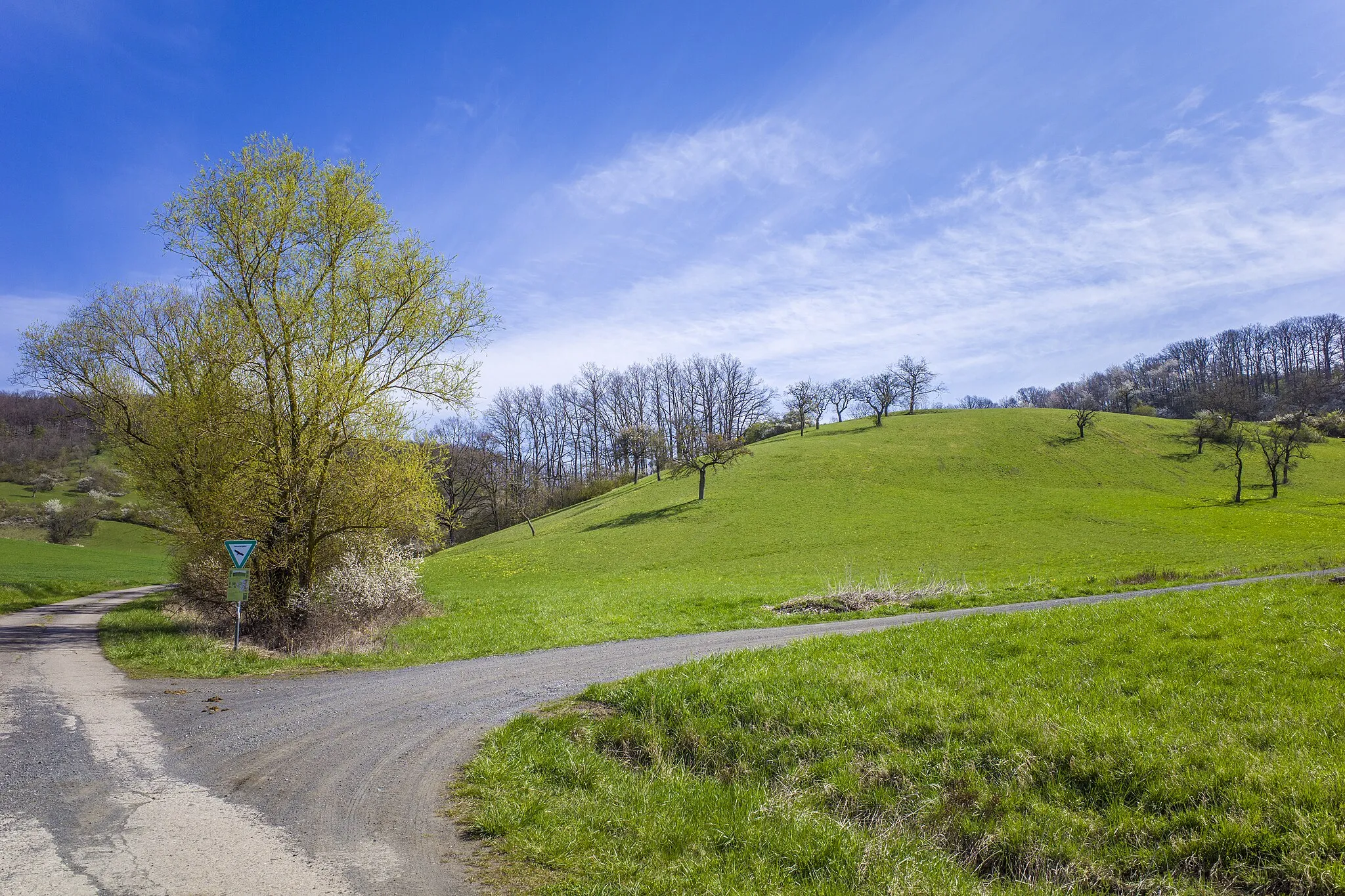
The Hill Challenge is a thrilling gravel cycling route near Haßfurt that spans 97 kilometers with a challenging ascent of 1465 meters. This route is designed for experienced gravel cyclists seeking a test of endurance and skill. Highlights of the route include Haßfurt, Hohe Wann, Oberer Hohberg, Weisbrunn, Burgebrach, Schloss Burgwindheim, Untersteinbach, Silbersattel, and Hainert. Expect grueling climbs, technical descents, and stunning views of the surrounding hills and forests. The Hill Challenge is not for the faint-hearted but promises a memorable and rewarding cycling experience for those up for the challenge.
gravel
97 km
1465 m
Savage
Route profile
Highlights on the route
0 km
0 km
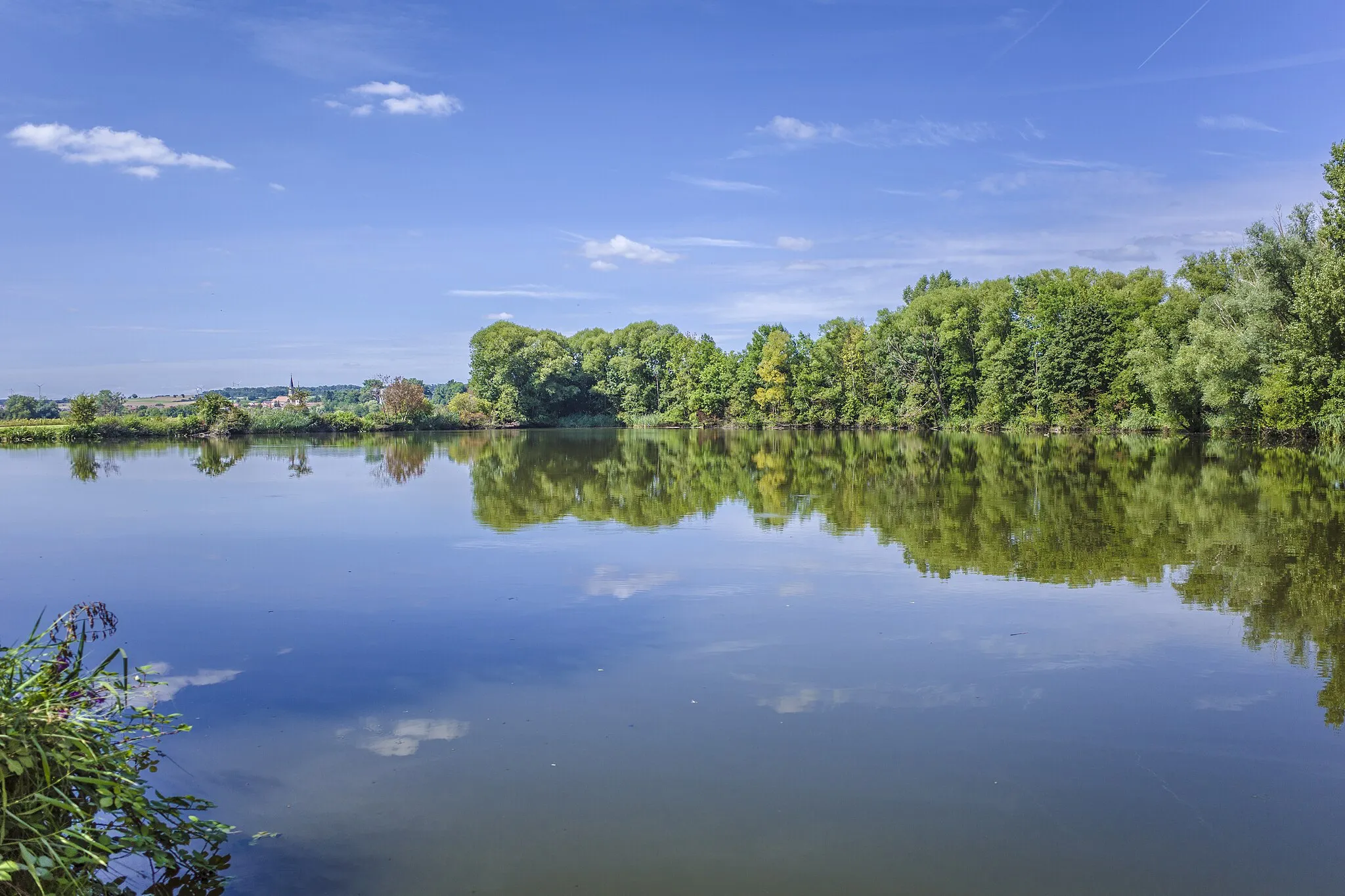
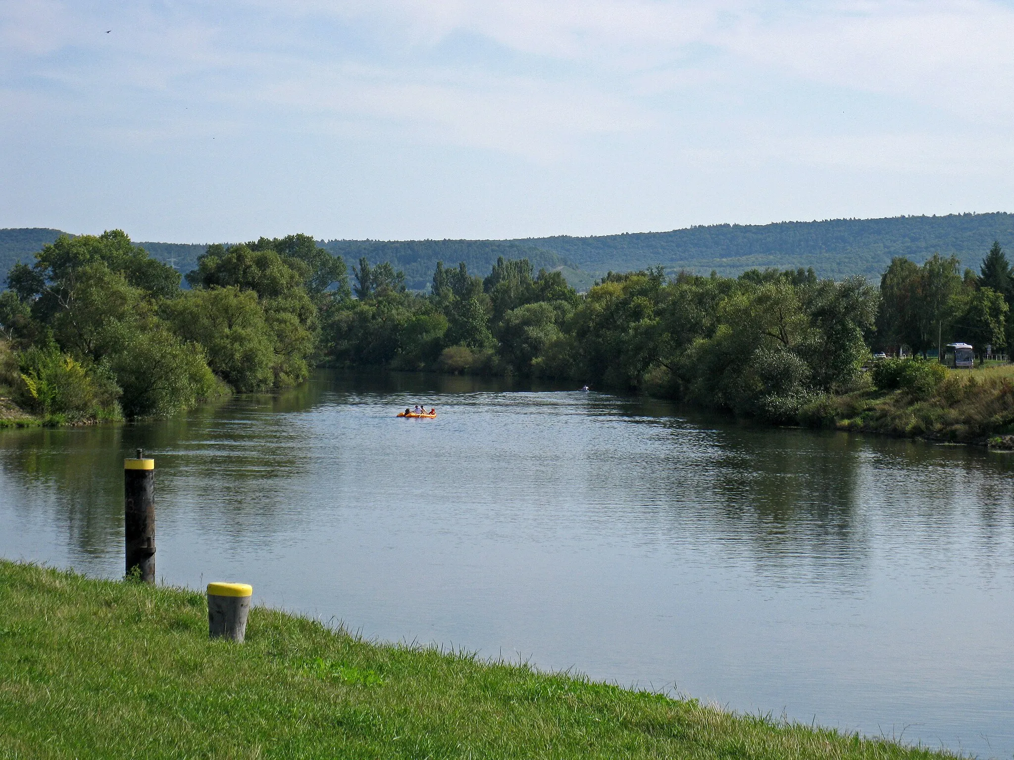
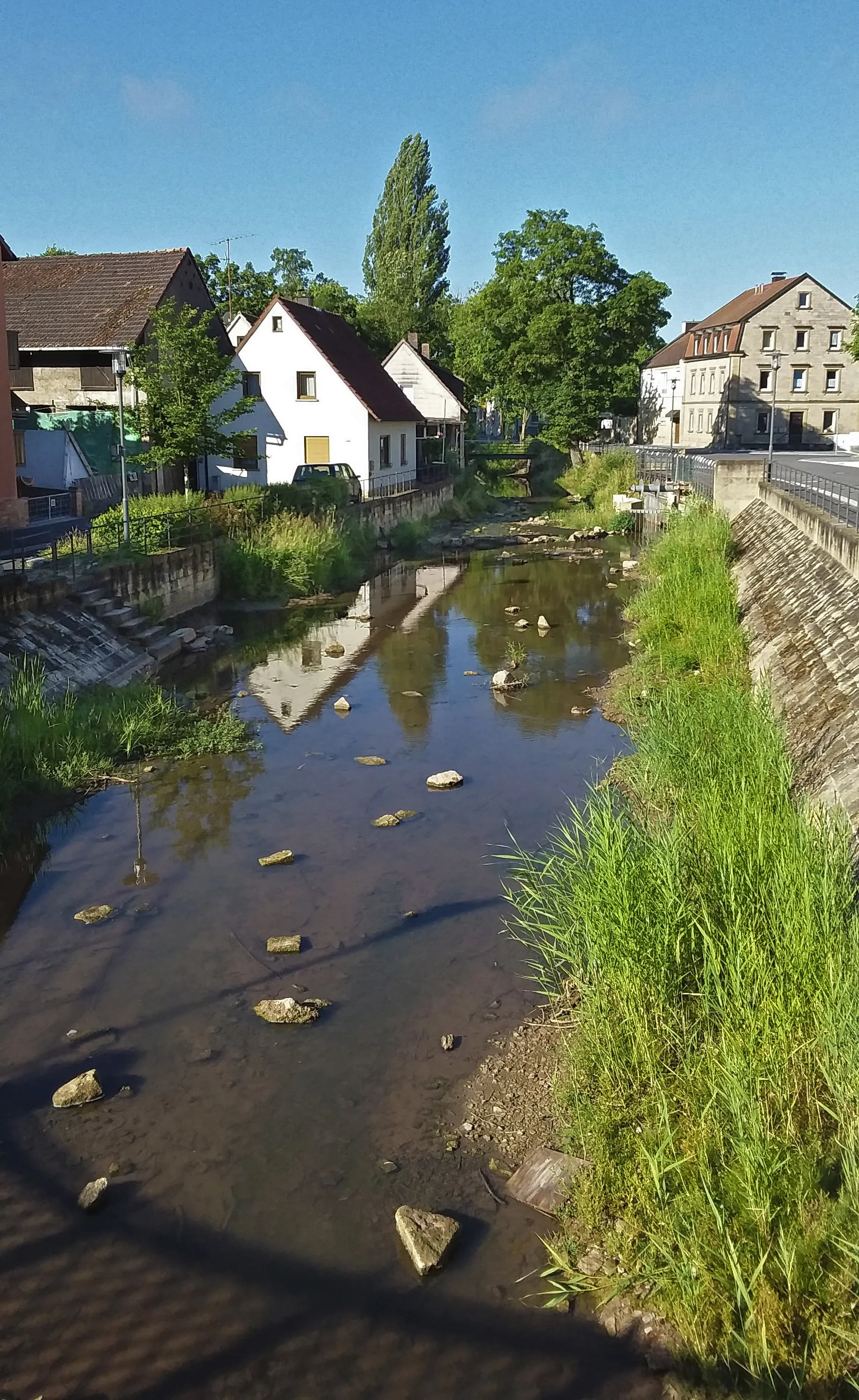
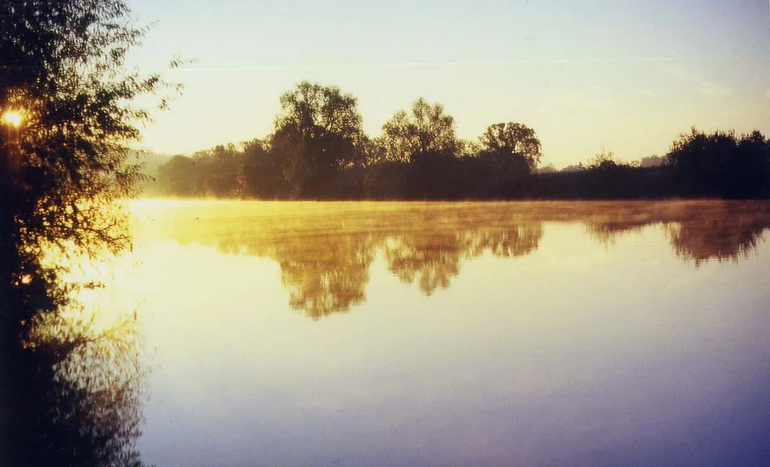
Start: Haßfurt City centerHaßfurt: Scenic Landscapes and Historical Charm
Haßfurt, located in Unterfranken, Germany, is a cyclist-friendly locality offering a range of cycling routes suitable for both road and gravel cyclists. The region boasts a mix of flat stretches and rolling hills, providing a variety of challenges for riders. Cyclists can enjoy picturesque views of vineyards and charming towns as they explore the area. Haßfurt itself is a lively town with historical sites and cozy cafes, making it an ideal base for cycling tourists. Nearby, cyclists can visit attractions such as the Alte Mainbrücke or the Steigerwald Nature Park. With its scenic landscapes and welcoming atmosphere, Haßfurt is a wonderful destination for cyclists seeking diverse cycling terrain.0 km
0 km
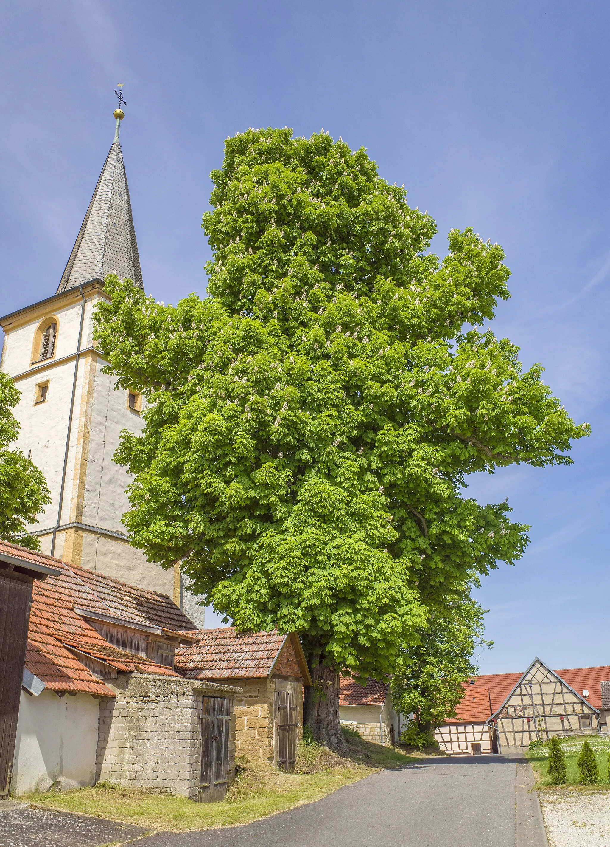
HaßfurtTownBegin your journey in Haßfurt and marvel at the historic buildings and charming atmosphere of this quaint town.
5 km
5 km
Hohe Wann388 mPeakHohe Wann is a challenging climb that rewards cyclists with breathtaking views at the summit.
13 km
13 km
Oberer Hohberg369 mPeakOberer Hohberg is a hidden gem, offering peaceful surroundings and stunning vistas.
24 km
24 km
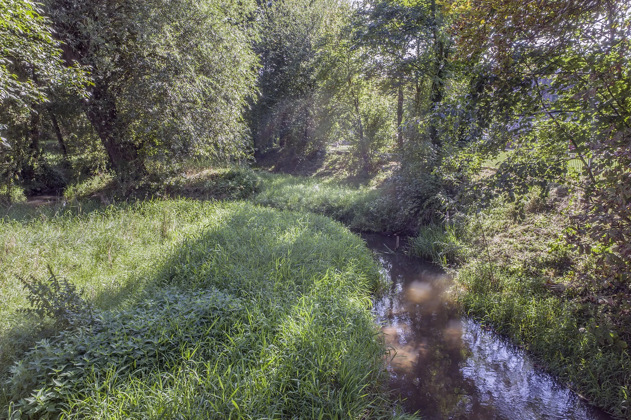
WeisbrunnVillageWeisbrunn is home to a picturesque lake, perfect for a refreshing swim or picnic.
42 km
42 km
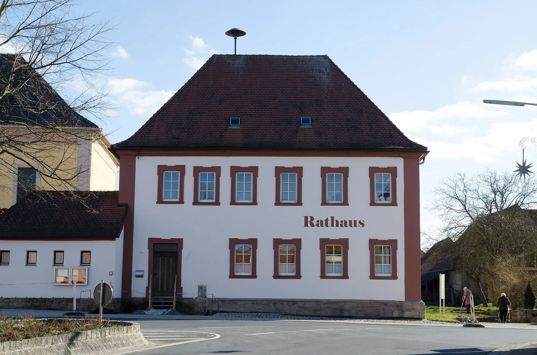
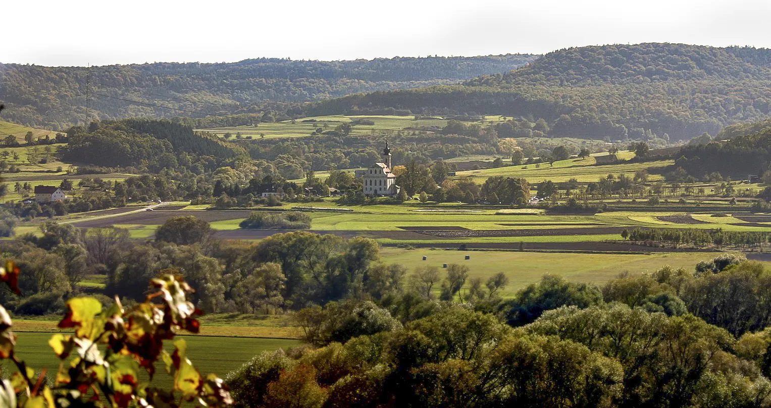
BurgebrachVillageBurgebrach is known for its historic town center and charming half-timbered houses.
64 km
64 km
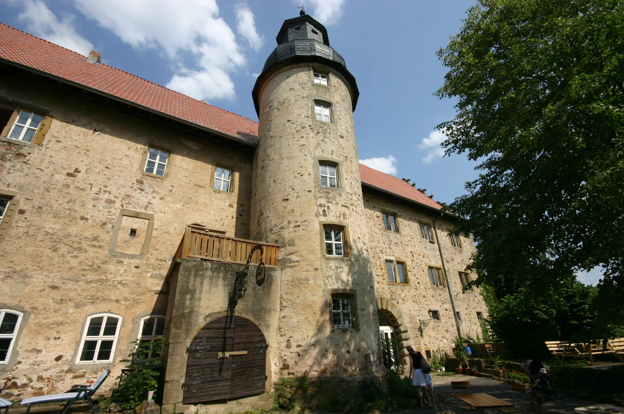
Schloss BurgwindheimCastleSchloss Burgwindheim is a fairytale-like castle surrounded by beautiful gardens.
74 km
74 km
UntersteinbachVillageUntersteinbach is a peaceful village nestled amidst rolling hills and farmland.
85 km
85 km
Silbersattel420 mMountain PassSilbersattel is a legendary climb known for its steep gradients and breathtaking views from the top.
92 km
92 km
HainertVillageHainert offers a challenging gravel ascent that rewards cyclists with panoramic vistas of the surrounding countryside.
97 km
97 km
Finish: Haßfurt City centerHaßfurt: Scenic Landscapes and Historical Charm
Cycling routes nearby: