Quaint cycling routes amidst picturesque landscapes
Cycling routes from Schonungen
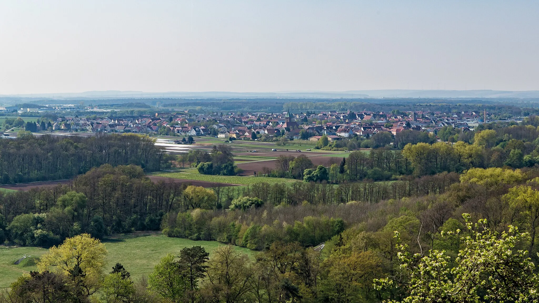
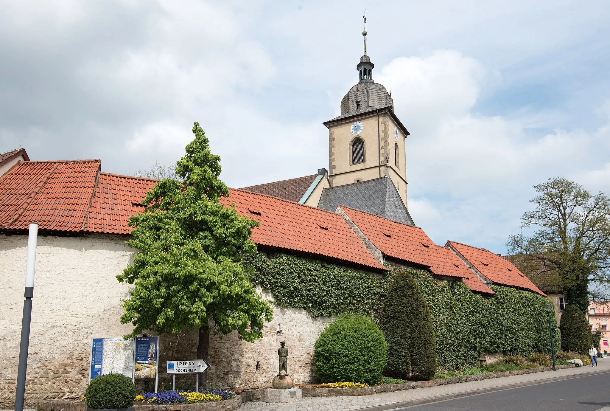
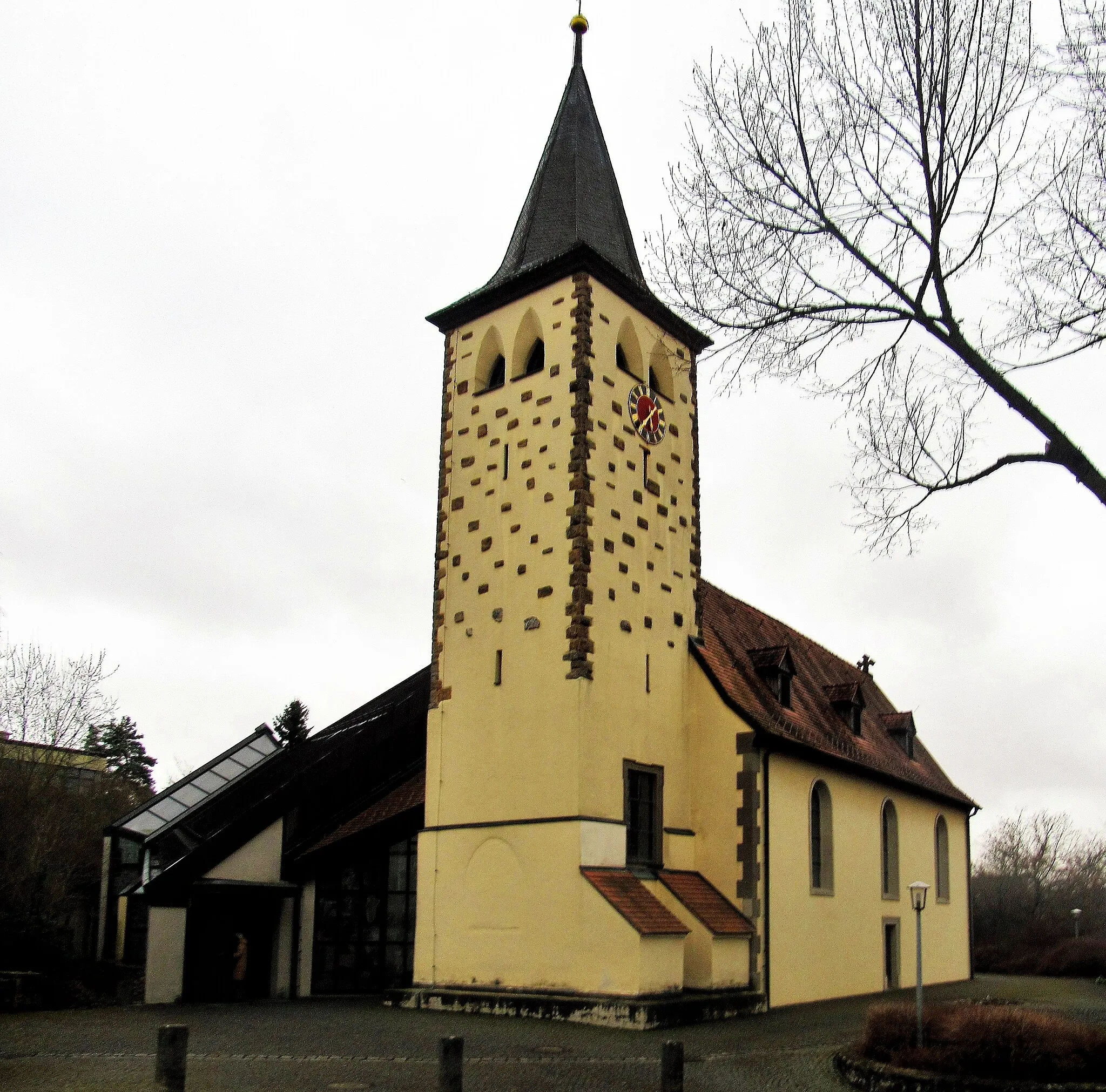
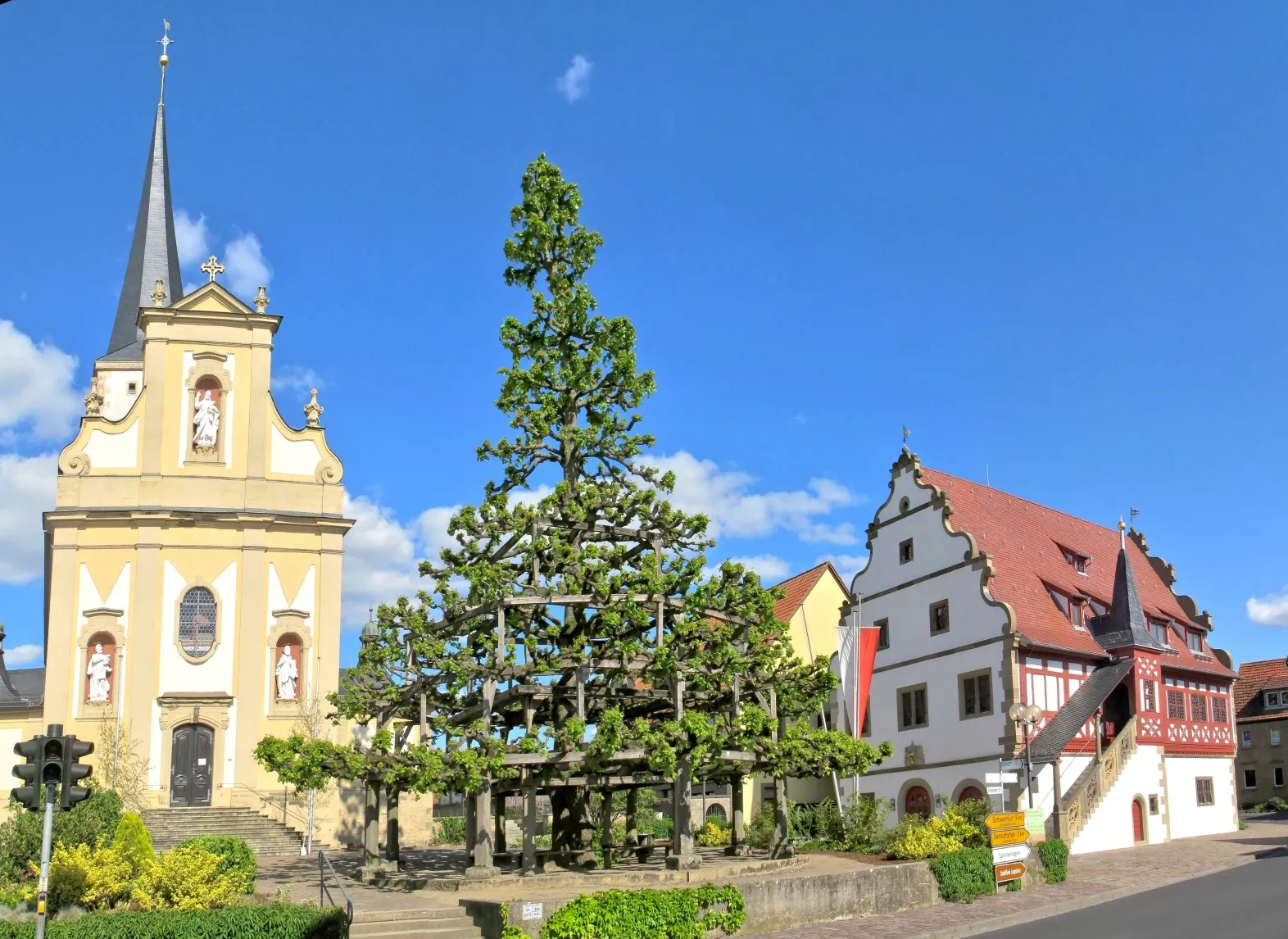
Schonungen is a beautiful locality located in the Unterfranken region of Germany. As a road and gravel cyclist, Schonungen offers a variety of cycling routes amidst picturesque landscapes. The region is known for its quaint villages and rolling hills, providing both enjoyable rides for leisurely cyclists and challenging ascents for the more adventurous. One well-known cycling spot nearby is Alte Liebe climbing area, which attracts climbers and cyclists alike with its challenging routes. With its scenic beauty and cyclist-friendly routes, Schonungen is a great destination for exploring the German countryside on two wheels.
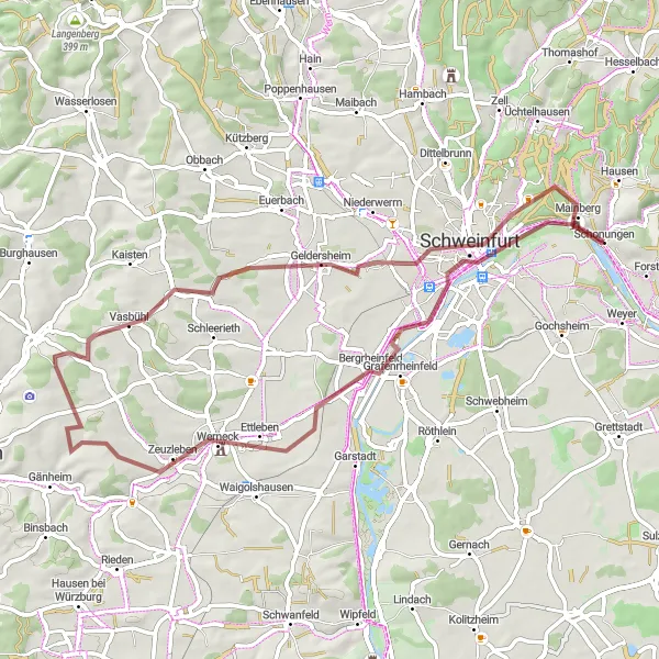
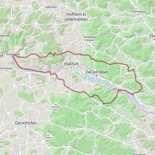
Discover idyllic landscapes and charming villages on a 59-km gravel adventure
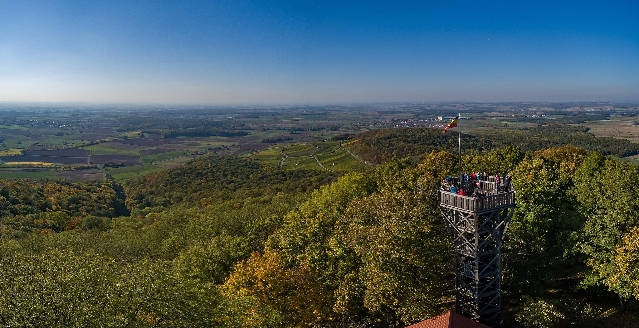
Embark on a 59-km gravel adventure starting in Schonungen. This route takes you through idyllic landscapes and charming villages, with highlights including the Beerhüterturm and Schindturm. With a moderate ascent of 479 meters, this route is suitable for gravel riders of all levels. The overall difficulty of this route is rated as a 2 out of 5, making it accessible to amateur cyclists. The epicness of this route is also rated as a 2 out of 5, thanks to its picturesque scenery and cultural highlights. Some notable highlights along the route include Grafenrheinfeld, Vasbühl, and Werneck, each offering unique attractions. The highlights are all recommended, with a score of 3-4 out of 5.
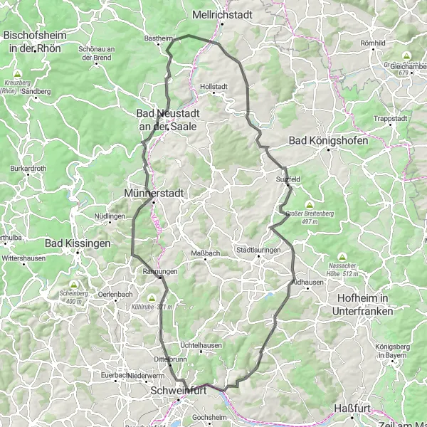
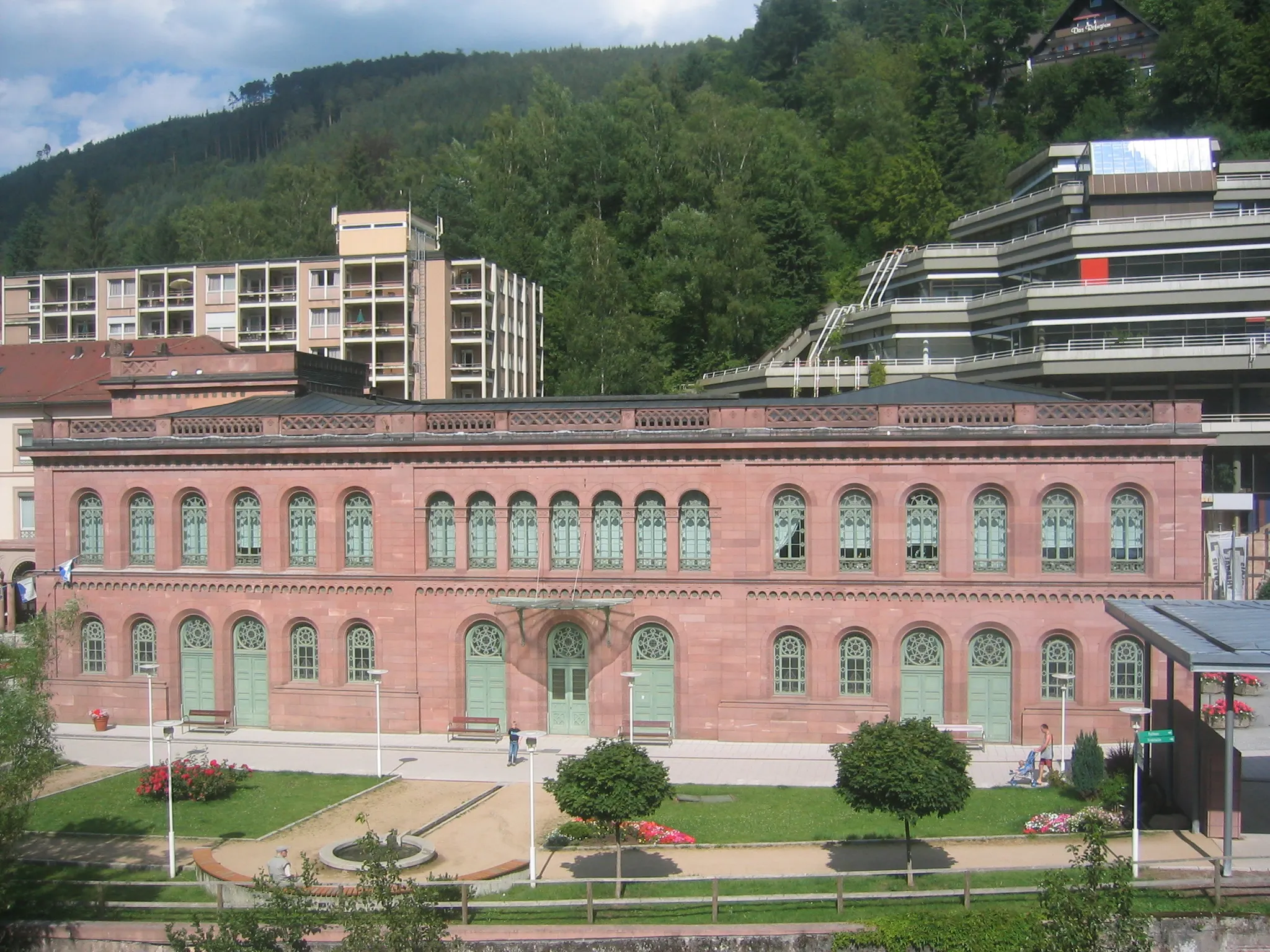
Explore the natural beauty of Rehberg and the historic town of Bad Neustadt an der Saale on this road route.
This road route takes you through the picturesque landscapes of Rehberg and Bad Neustadt an der Saale. Admire the stunning views of rolling hills, serene forests, and sparkling rivers. The route has a challenging difficulty level, with a total ascent of 1169m and a distance of 110km. It is suitable for experienced cyclists looking for a challenging ride. Epicness: 4/5
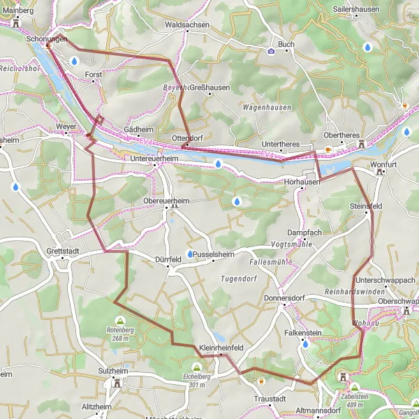
Explore the picturesque villages of Untertheres and Zabelstein on this gravel route.
This gravel route takes you through the charming villages of Untertheres and Zabelstein. Enjoy the scenic views of the surrounding countryside as you ride along the route. The route has moderate difficulty, making it suitable for well-trained amateur cyclists. With a total ascent of 430m and a distance of 46km, it offers a challenging yet rewarding cycling experience. Epicness: 3/5
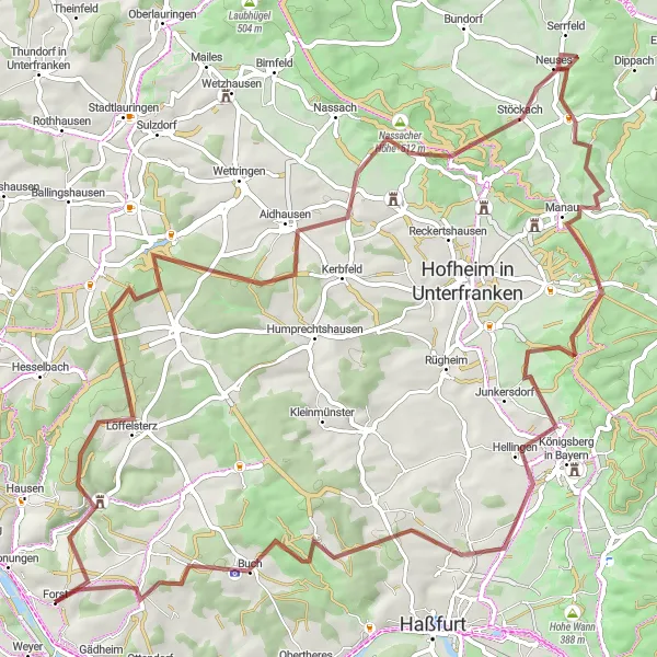
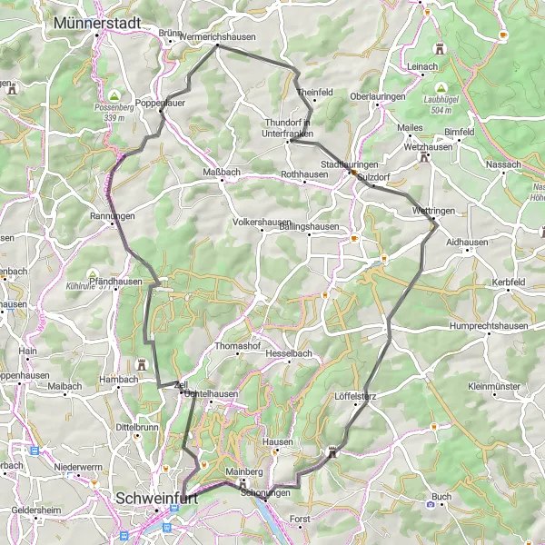
Take on an epic 81-km gravel cycling challenge through stunning landscapes
Prepare for an epic 81-km gravel cycling challenge starting near Schonungen. This route takes you through stunning landscapes, with challenging sections and highlights including Löffelsterz and Schweinshaupten. With a demanding ascent of 1266 meters, this route is suitable for experienced gravel riders. The overall difficulty of this route is rated as a 4 out of 5, making it perfect for very well-trained amateur cyclists. The epicness of this route is rated as a 4 out of 5, thanks to its remote beauty and challenging terrain. Some notable highlights along the route include Nassacher Höhe, Sylbach, and Buchner Höhe, each offering unique natural beauty and cultural attractions. The highlights are all highly recommended, scoring a 4-5 out of 5.
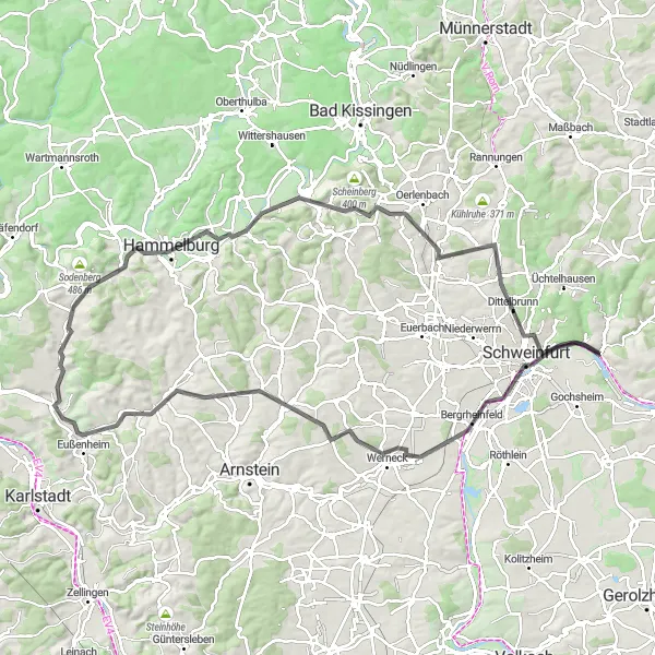
Enjoy a scenic road cycling tour through the picturesque landscapes of Unterfranken
Embark on a 106-km road cycling tour through the beautiful landscapes of Unterfranken. Starting in Schonungen, this route takes you on a scenic journey with highlights including Schweinfurt and the historic Rotes Schloss. With a moderate ascent of 961 meters, this route is suitable for experienced road cyclists. The overall difficulty of this route is rated as a 3 out of 5, making it accessible to well-trained amateur cyclists. The epicness of this route is rated as a 3 out of 5, thanks to its picturesque landscapes and cultural highlights. Some notable highlights along the route include Werneck, Altbessingen, and Hambach, each offering unique attractions. The highlights are all recommended, scoring a 3-4 out of 5.
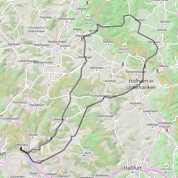
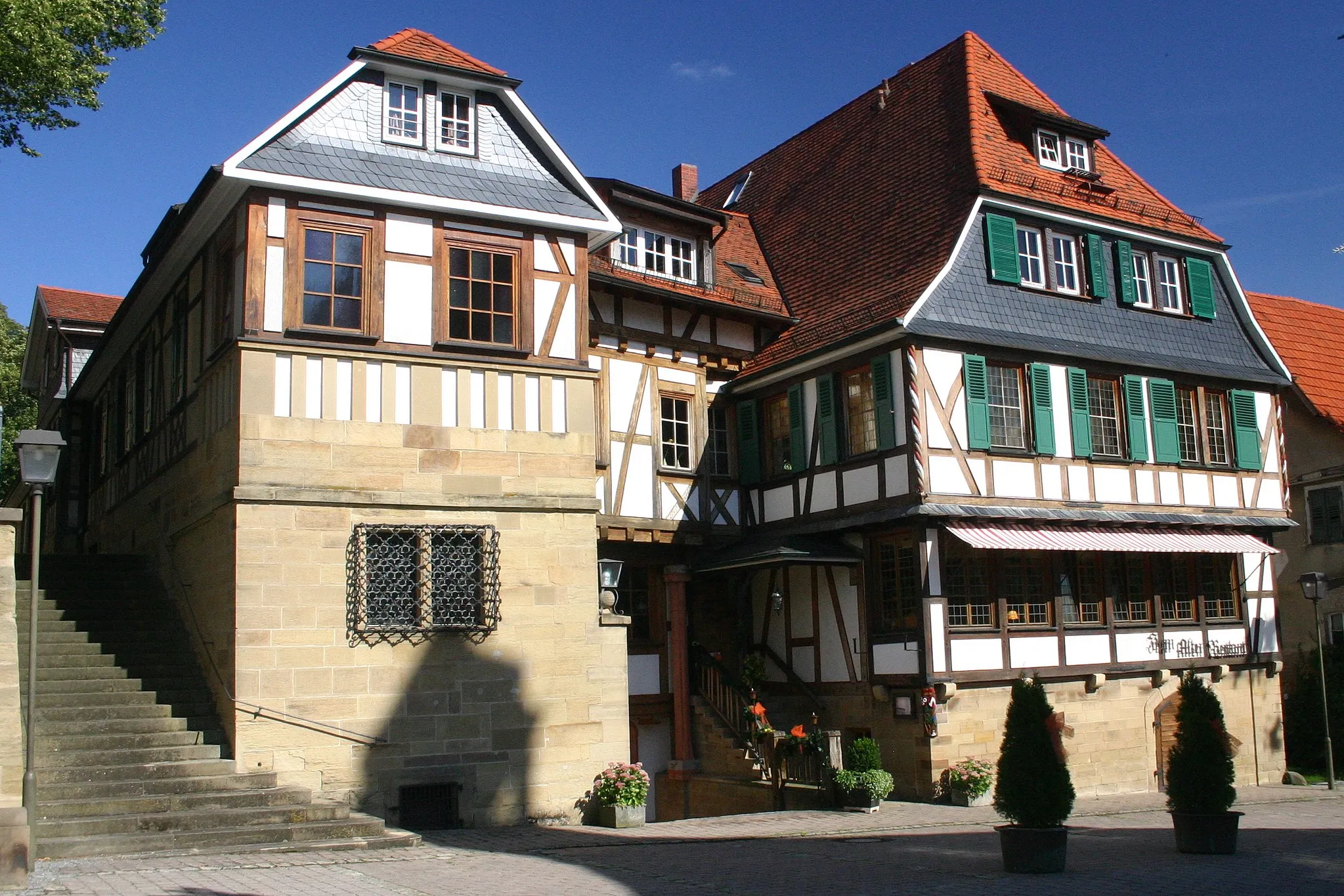
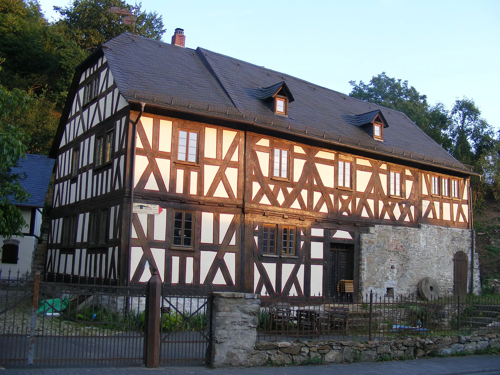
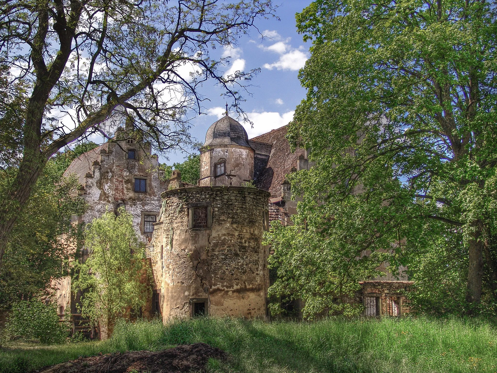
Discover the beauty of Mainberg Castle and the charming village of Hofheim in Unterfranken on this road route.
This road route takes you to Mainberg Castle, a well-preserved medieval castle with beautiful gardens and panoramic views. Continuing to Hofheim in Unterfranken, you'll explore an enchanting village known for its traditional half-timbered houses and friendly atmosphere. The route has a moderate difficulty level, with a total ascent of 893m and a distance of 70km. It is suitable for experienced amateur cyclists. Epicness: 3/5
Embark on a thrilling 79-km gravel adventure with stunning views along the way
Get ready for a thrilling 79-km gravel adventure starting in Schonungen. This route offers stunning views and challenging terrain, with highlights including Großer Knetzberg and Rotenberg. With a moderate ascent of 787 meters, this route is suitable for experienced gravel riders. The overall difficulty of this route is rated as a 3 out of 5, making it accessible to well-trained amateur cyclists. The epicness of this route is also rated as a 3 out of 5, thanks to its scenic beauty and adrenaline-inducing sections. Some notable highlights along the route include Steinsfeld, Dingolshausen, and Weyer, each offering unique attractions and breathtaking views. The highlights are all highly recommended, scoring a 4 out of 5.
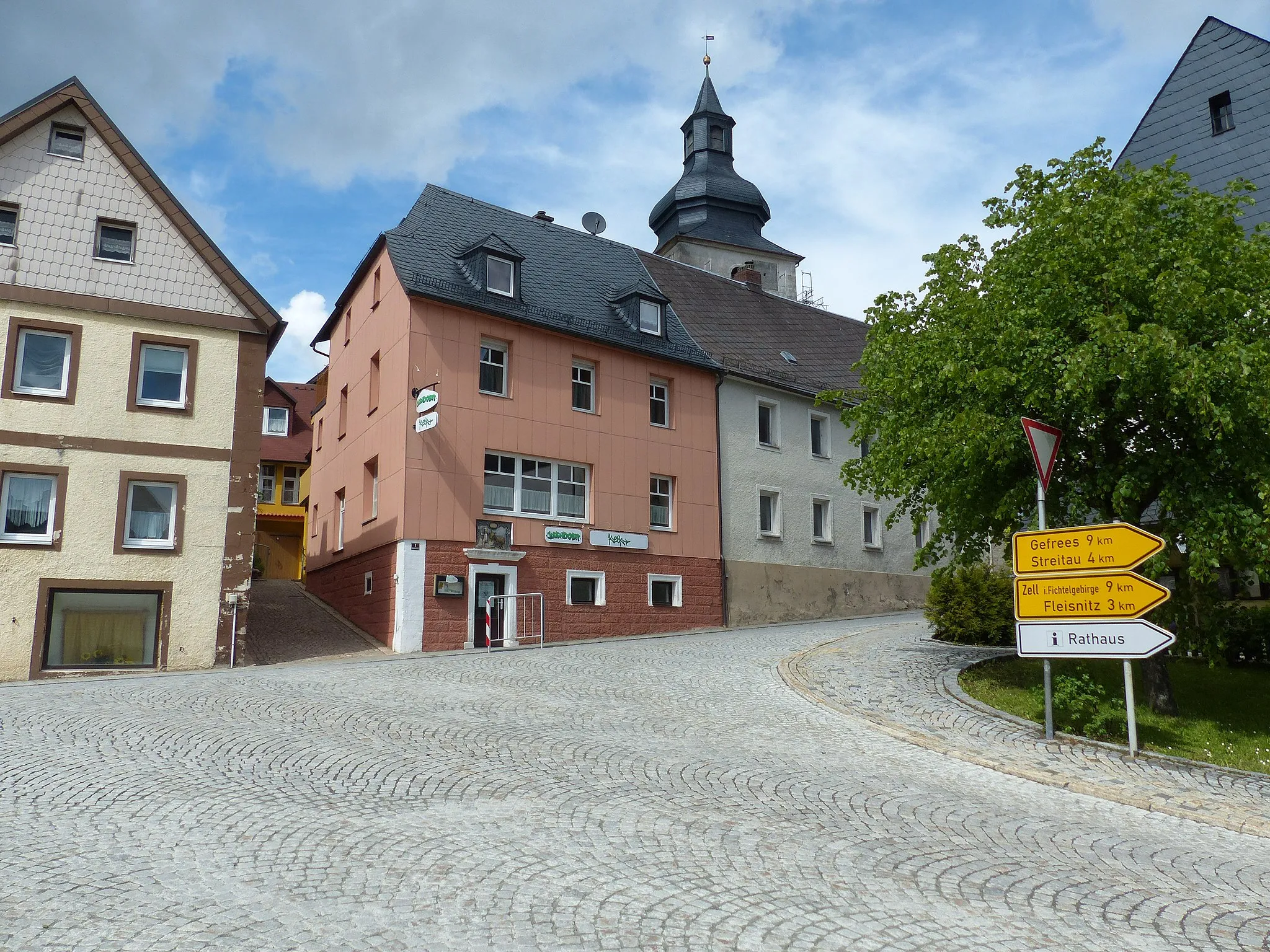
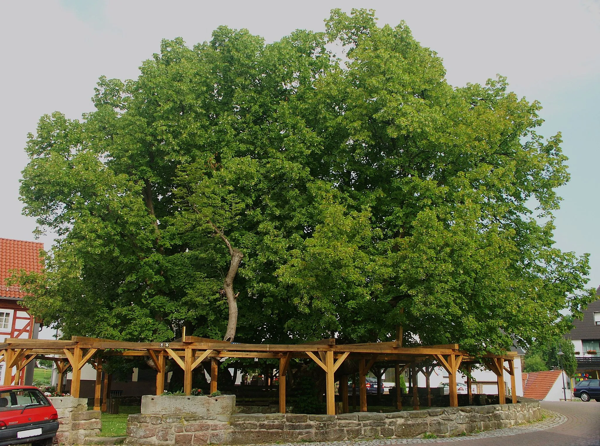
Marktsteinach Road Route
Ride through the scenic landscapes of Marktsteinach on this road route.
This road route takes you through the beautiful countryside of Marktsteinach. Enjoy the scenic views of rolling hills and charming villages as you ride along the route. The route has moderate difficulty, with a total ascent of 789m and a distance of 66km. It is suitable for well-trained amateur cyclists looking for a challenging ride. Epicness: 3/5
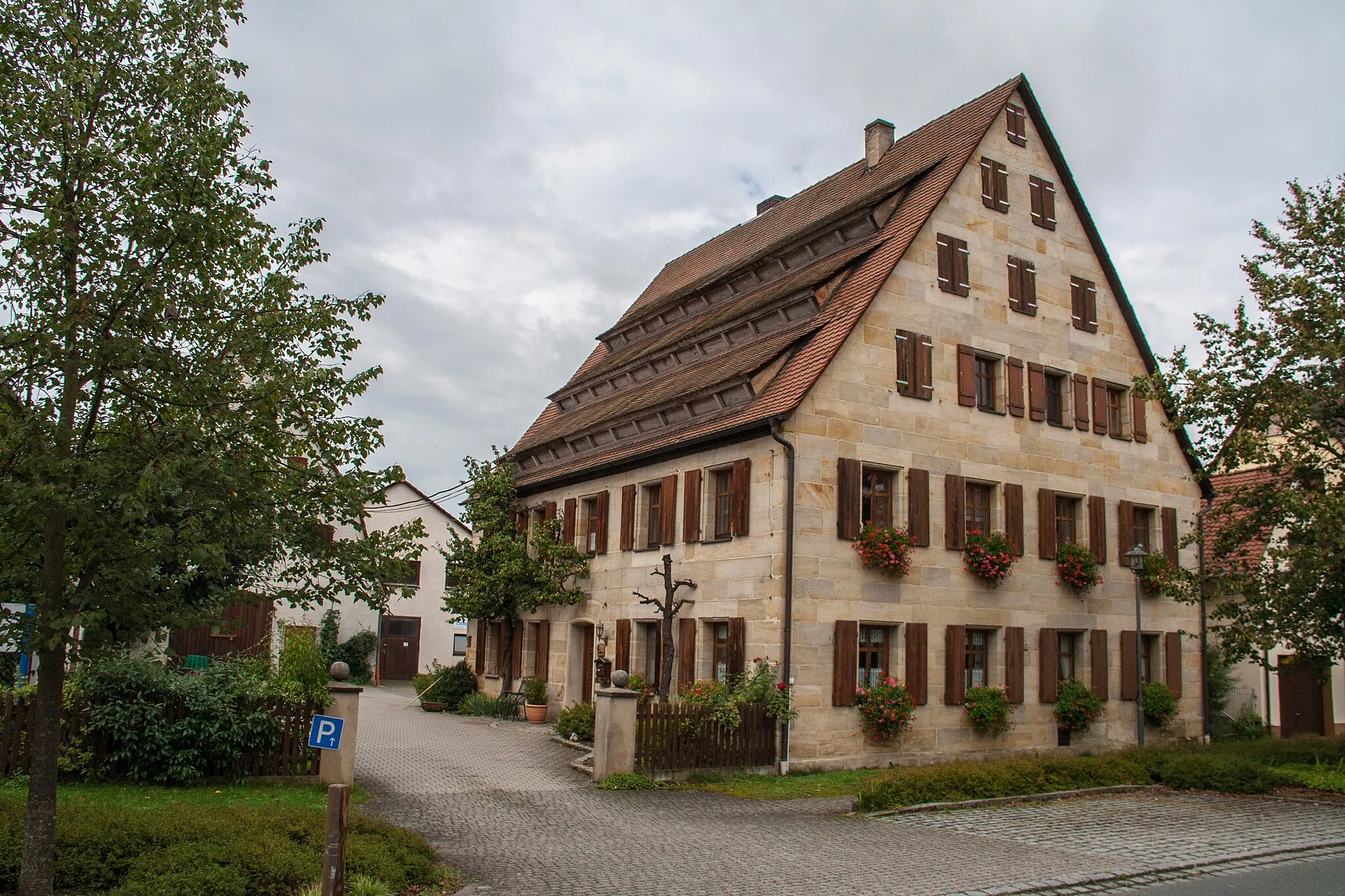
Embark on a scenic road route through the villages of Gössenheim and Pfaffenberg.
This road route takes you through the charming villages of Gössenheim and Pfaffenberg. Enjoy the picturesque countryside and rolling vineyards along the way. The route has a moderate difficulty level, with a total ascent of 1027m and a distance of 120km. It is suitable for experienced amateur cyclists looking for a challenging ride. Epicness: 4/5
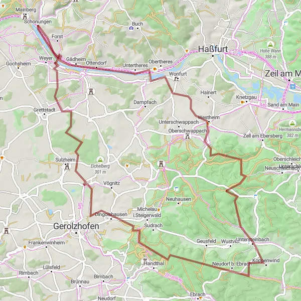
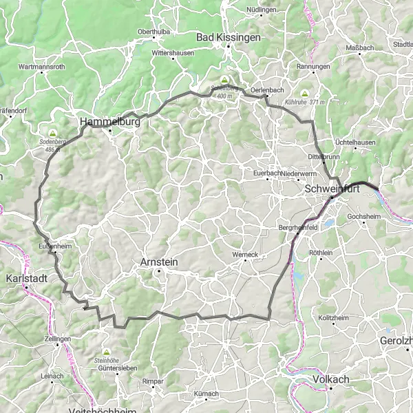
Explore picturesque landscapes and challenging gravel roads near Schonungen
Embark on a 90-km gravel adventure starting in Schonungen. This route takes you through stunning landscapes, with highlights including Buchner Höhe and the charming village of Buch. With a challenging ascent of 1243 meters, this route is perfect for experienced gravel riders. The overall difficulty of this route is rated as a 4 out of 5, making it suitable for very well-trained amateur cyclists. The epicness of this route is also rated as a 4 out of 5, thanks to its scenic beauty and challenging terrain. Some notable highlights along the route include Prappach, Mausberg, and Hohe Lohe, each offering unique scenery. The highlights are all highly recommended and score a 4-5 out of 5.
Cycling routes nearby:

Nearby regions: