Untertheres and Zabelstein Gravel Route
A gravel cycling route starting from Schonungen
Explore the picturesque villages of Untertheres and Zabelstein on this gravel route.
Map
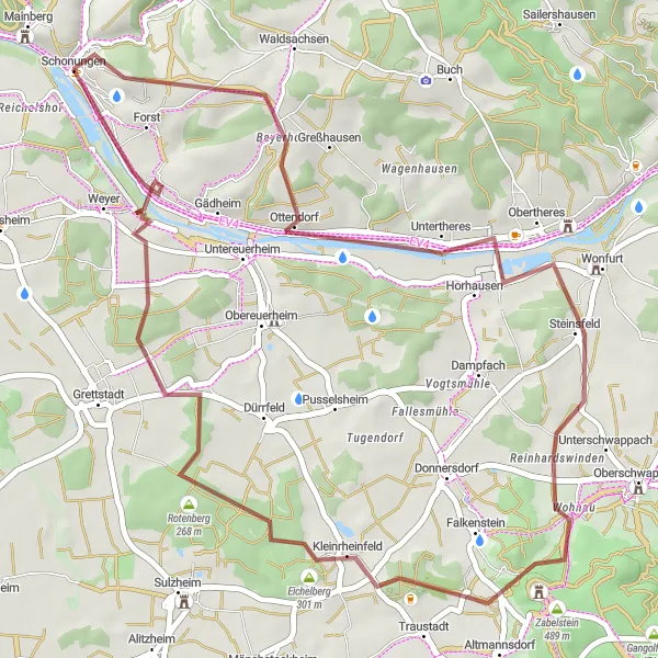
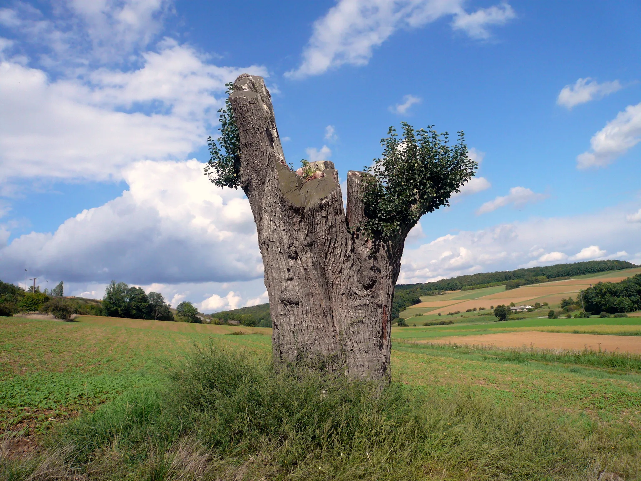
This gravel route takes you through the charming villages of Untertheres and Zabelstein. Enjoy the scenic views of the surrounding countryside as you ride along the route. The route has moderate difficulty, making it suitable for well-trained amateur cyclists. With a total ascent of 430m and a distance of 46km, it offers a challenging yet rewarding cycling experience. Epicness: 3/5
gravel
46 km
430 m
Tough
Route profile
Highlights on the route
0 km
0 km
Start: Schonungen Village centerSchonungen: Quaint cycling routes amidst picturesque landscapes
Schonungen is a beautiful locality located in the Unterfranken region of Germany. As a road and gravel cyclist, Schonungen offers a variety of cycling routes amidst picturesque landscapes. The region is known for its quaint villages and rolling hills, providing both enjoyable rides for leisurely cyclists and challenging ascents for the more adventurous. One well-known cycling spot nearby is Alte Liebe climbing area, which attracts climbers and cyclists alike with its challenging routes. With its scenic beauty and cyclist-friendly routes, Schonungen is a great destination for exploring the German countryside on two wheels.12 km
12 km
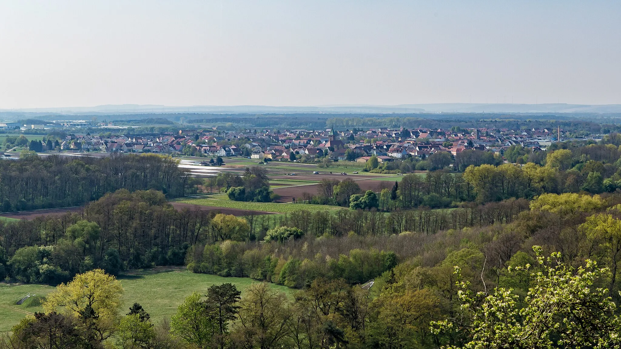
UntertheresVillageUntertheres is known for its charming architecture and picturesque landscapes.
17 km
17 km
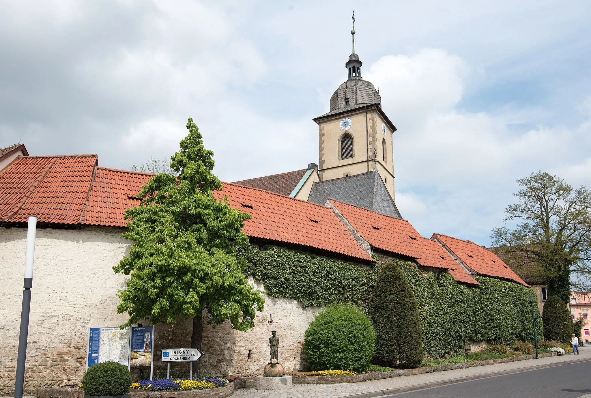
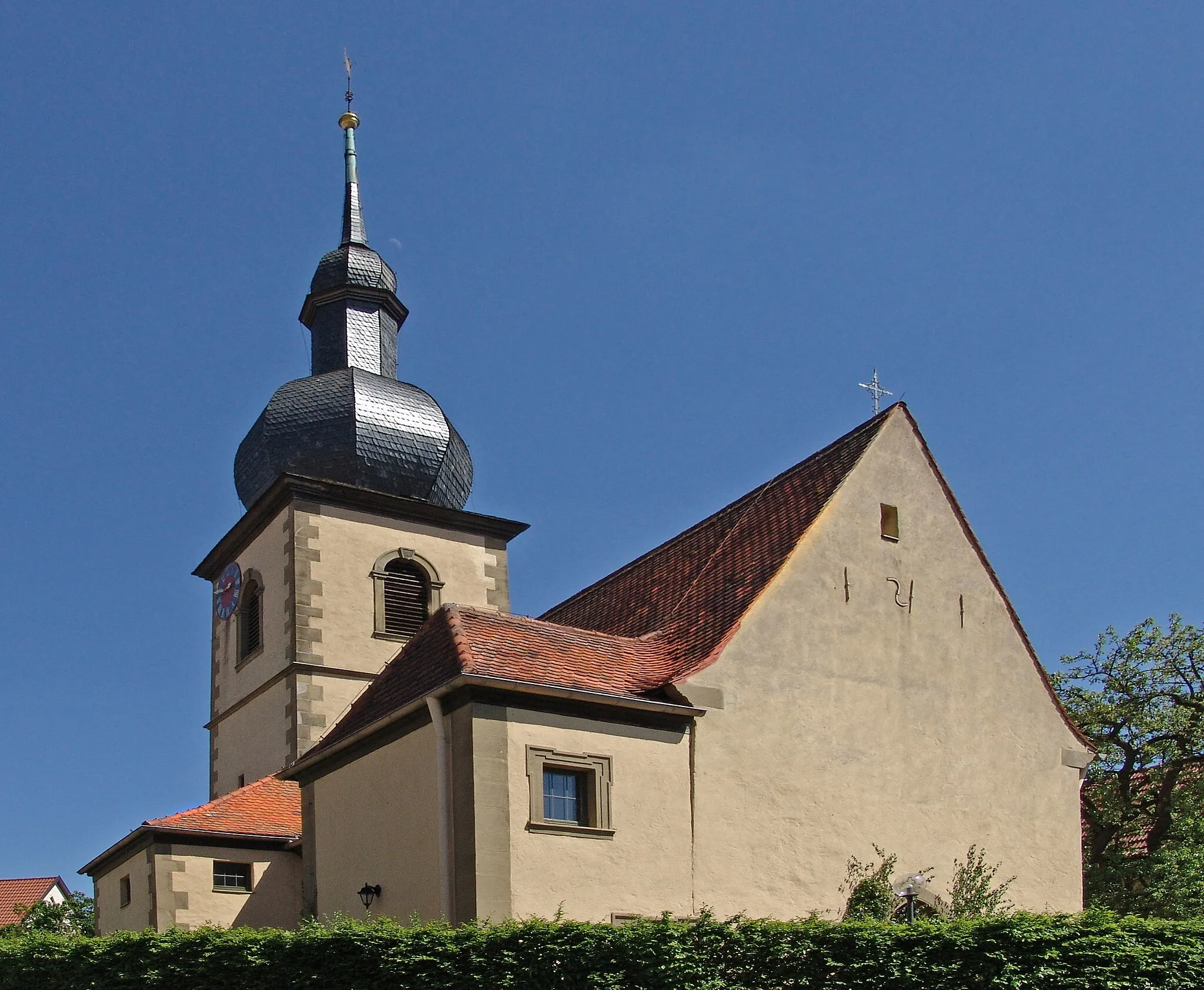
SteinsfeldVillageSteinsfeld is a peaceful village with beautiful traditional houses.
23 km
23 km
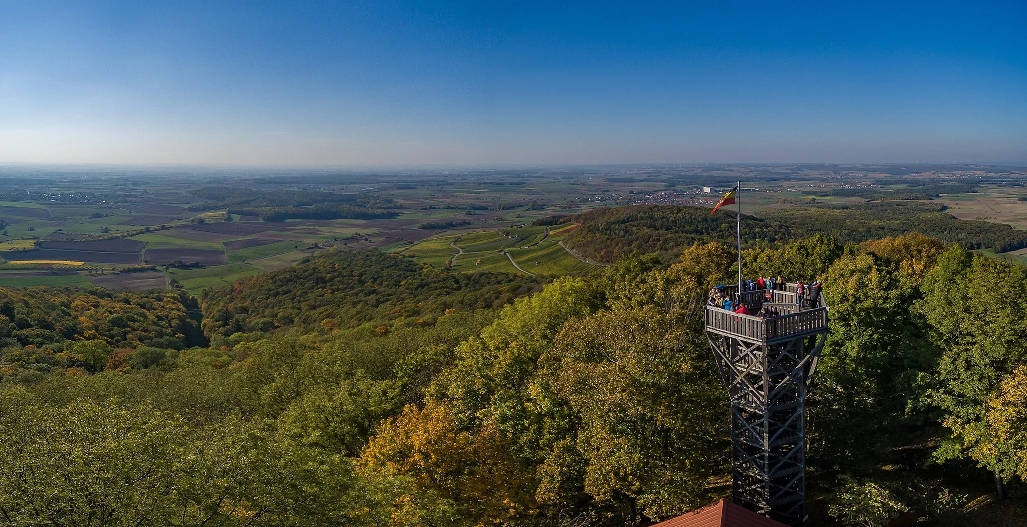
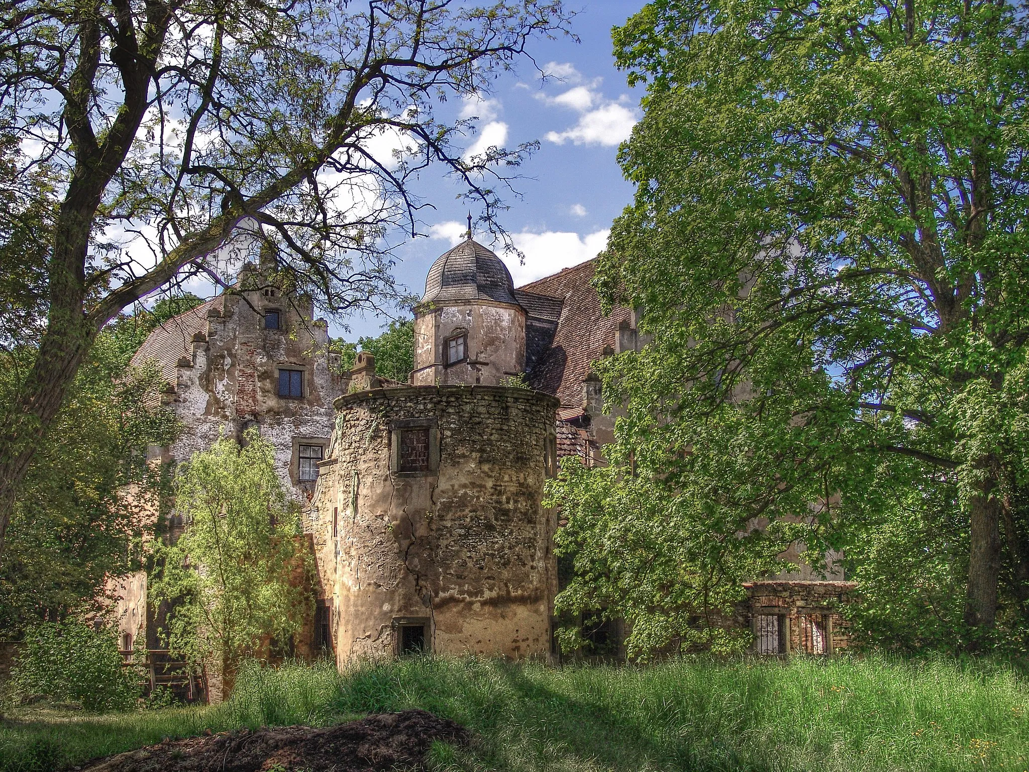
Zabelstein489 mPeakZabelstein is home to an ancient castle ruins that offer stunning panoramic views.
33 km
33 km
Rotenberg268 mPeakRotenberg is a historic town with well-preserved medieval buildings.
41 km
41 km
WeyerVillageWeyer is a small village surrounded by lush green fields.
46 km
46 km
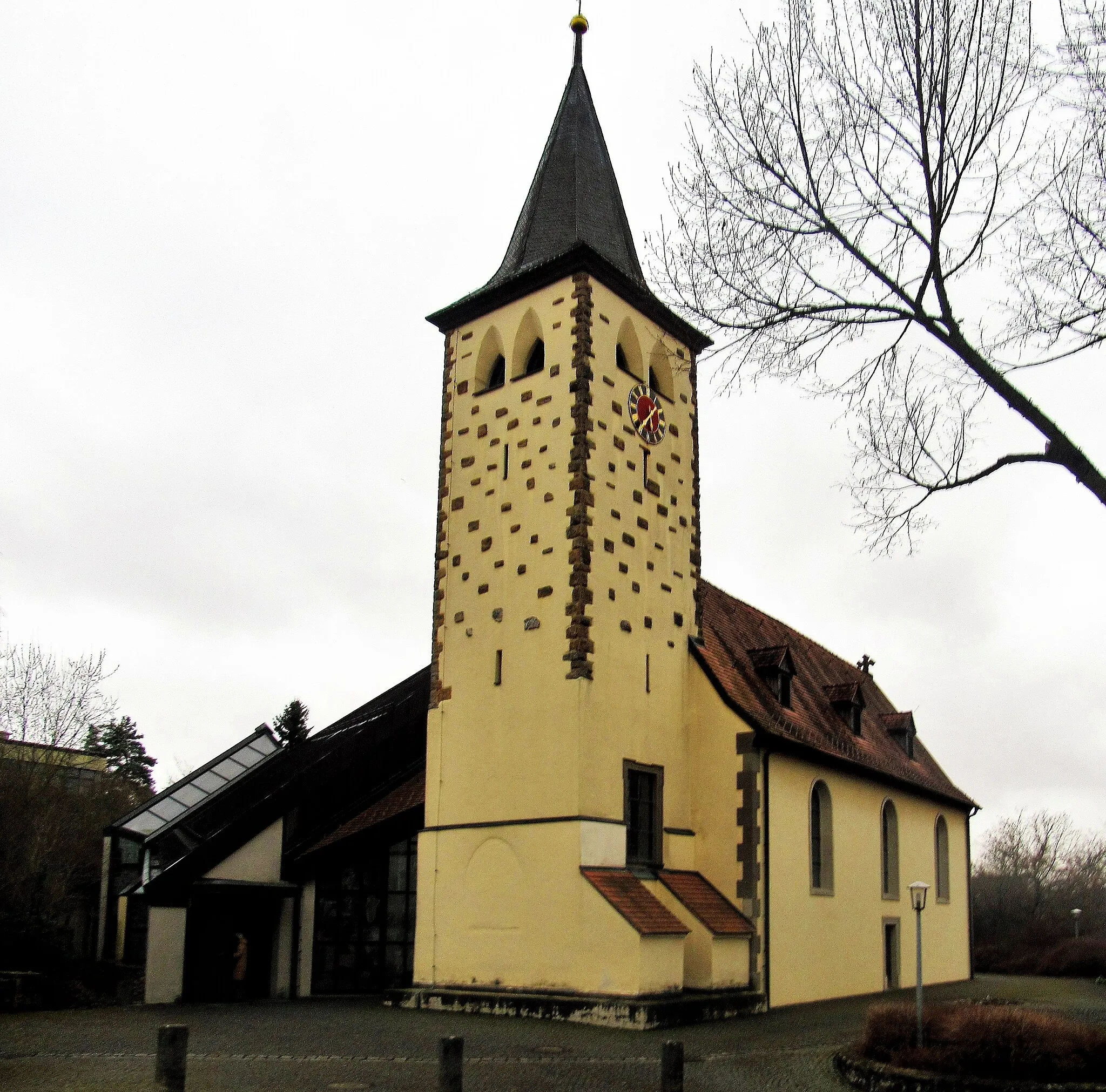
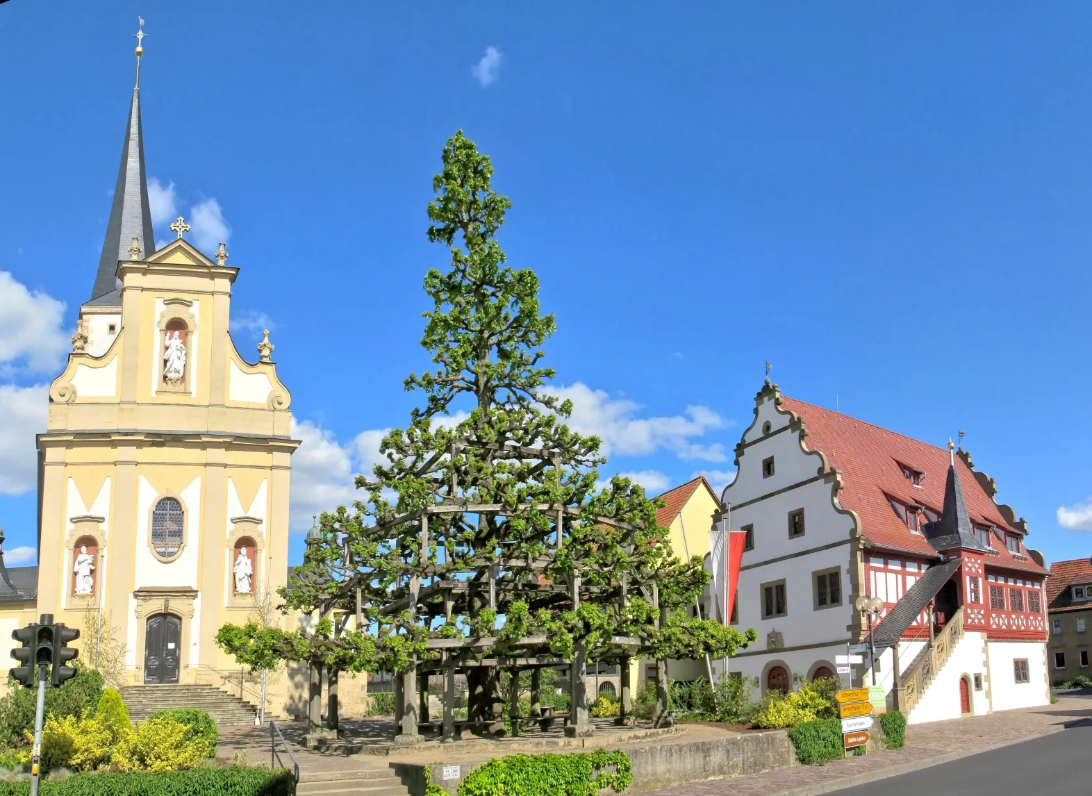
SchonungenVillageSchonungen is a vibrant town with a rich cultural heritage.
46 km
46 km
Finish: Schonungen Village centerSchonungen: Quaint cycling routes amidst picturesque landscapes
Cycling routes from Schonungen:
Untertheres and Zabelstein Gravel Route Marktsteinach Road Route Gössenheim and Pfaffenberg Road Route Mainberg Castle and Hofheim in Unterfranken Road Route Rehberg and Bad Neustadt an der Saale Road Route The 90-km Gravel Adventure The 106-km Scenic Road Cycling Tour The 59-km Gravel Adventure The 79-km Thrilling Gravel Adventure The 81-km Epic Gravel Cycling Challenge
Cycling routes nearby: