The 90-km Gravel Adventure
A gravel cycling route starting from Schonungen
Explore picturesque landscapes and challenging gravel roads near Schonungen
Map
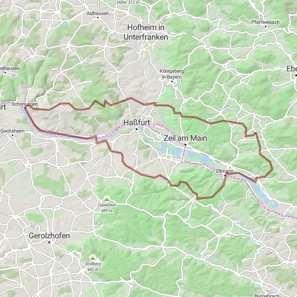
Embark on a 90-km gravel adventure starting in Schonungen. This route takes you through stunning landscapes, with highlights including Buchner Höhe and the charming village of Buch. With a challenging ascent of 1243 meters, this route is perfect for experienced gravel riders. The overall difficulty of this route is rated as a 4 out of 5, making it suitable for very well-trained amateur cyclists. The epicness of this route is also rated as a 4 out of 5, thanks to its scenic beauty and challenging terrain. Some notable highlights along the route include Prappach, Mausberg, and Hohe Lohe, each offering unique scenery. The highlights are all highly recommended and score a 4-5 out of 5.
gravel
90 km
1243 m
Tough
Route profile
Highlights on the route
0 km
0 km
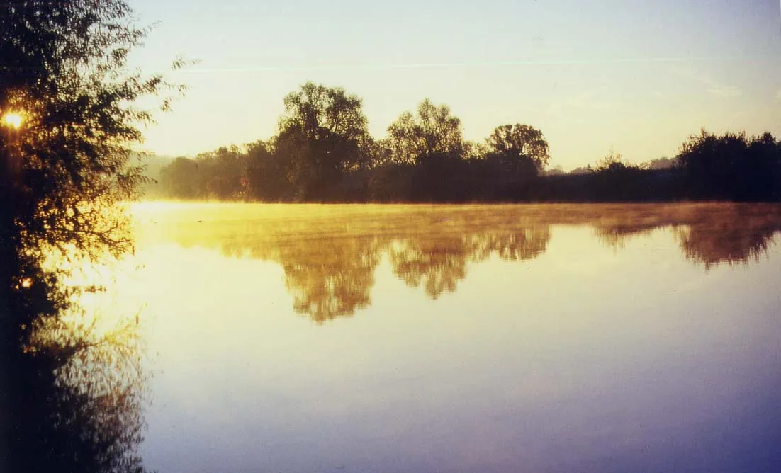
Start: Schonungen Village centerSchonungen: Quaint cycling routes amidst picturesque landscapes
Schonungen is a beautiful locality located in the Unterfranken region of Germany. As a road and gravel cyclist, Schonungen offers a variety of cycling routes amidst picturesque landscapes. The region is known for its quaint villages and rolling hills, providing both enjoyable rides for leisurely cyclists and challenging ascents for the more adventurous. One well-known cycling spot nearby is Alte Liebe climbing area, which attracts climbers and cyclists alike with its challenging routes. With its scenic beauty and cyclist-friendly routes, Schonungen is a great destination for exploring the German countryside on two wheels.9 km
9 km
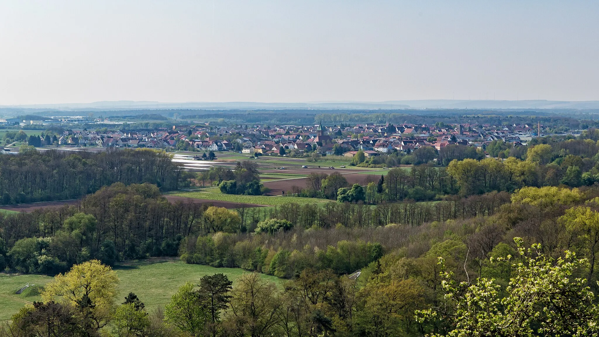
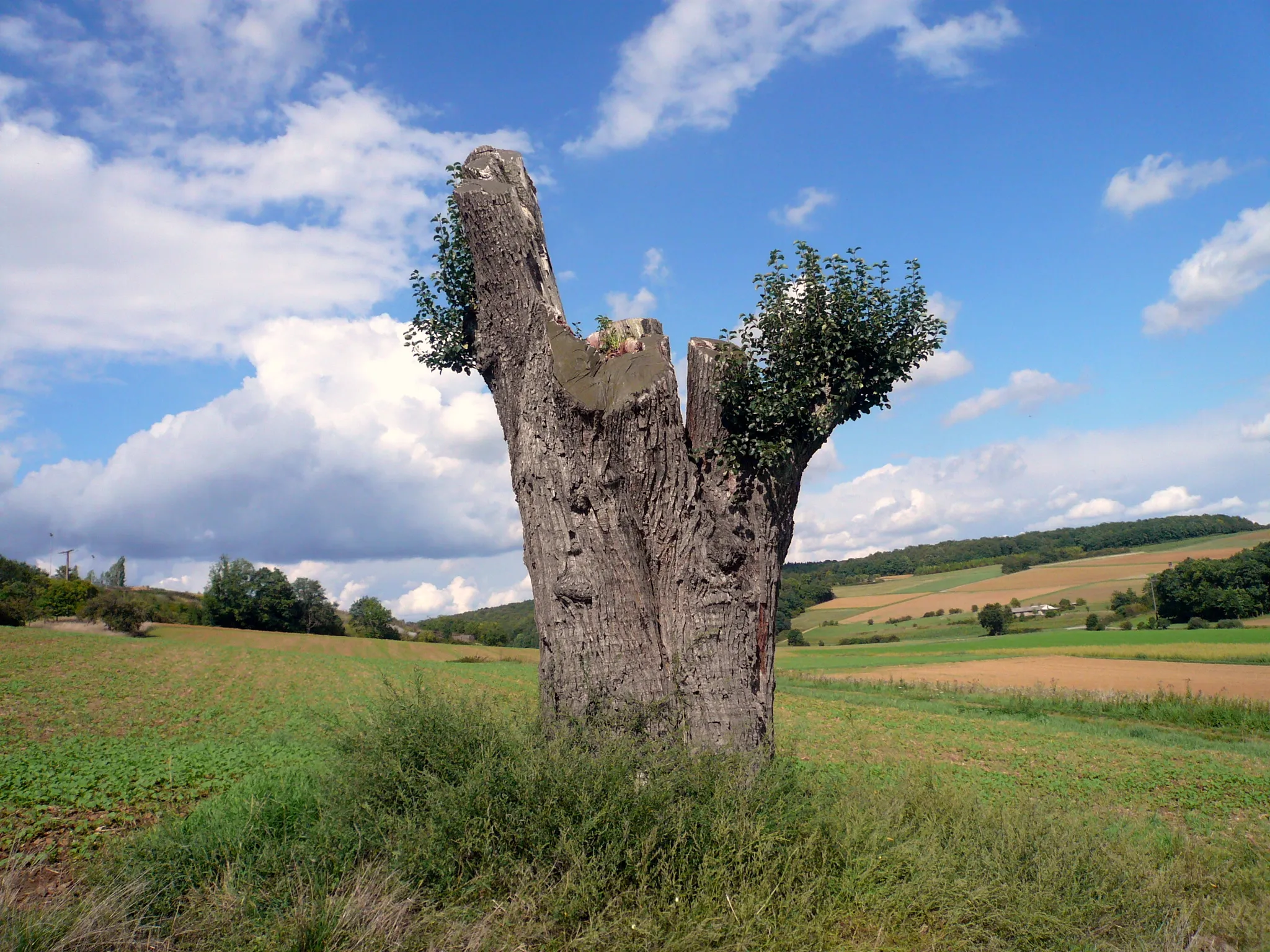
Buchner Höhe 405,8mViewpointLocated at 405.8 meters, Buchner Höhe offers breathtaking panoramic views of the surrounding countryside.
9 km
9 km
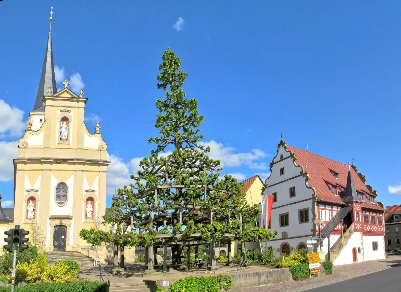
BuchVillageExplore the charming village of Buch, with its traditional architecture and vibrant atmosphere.
23 km
23 km
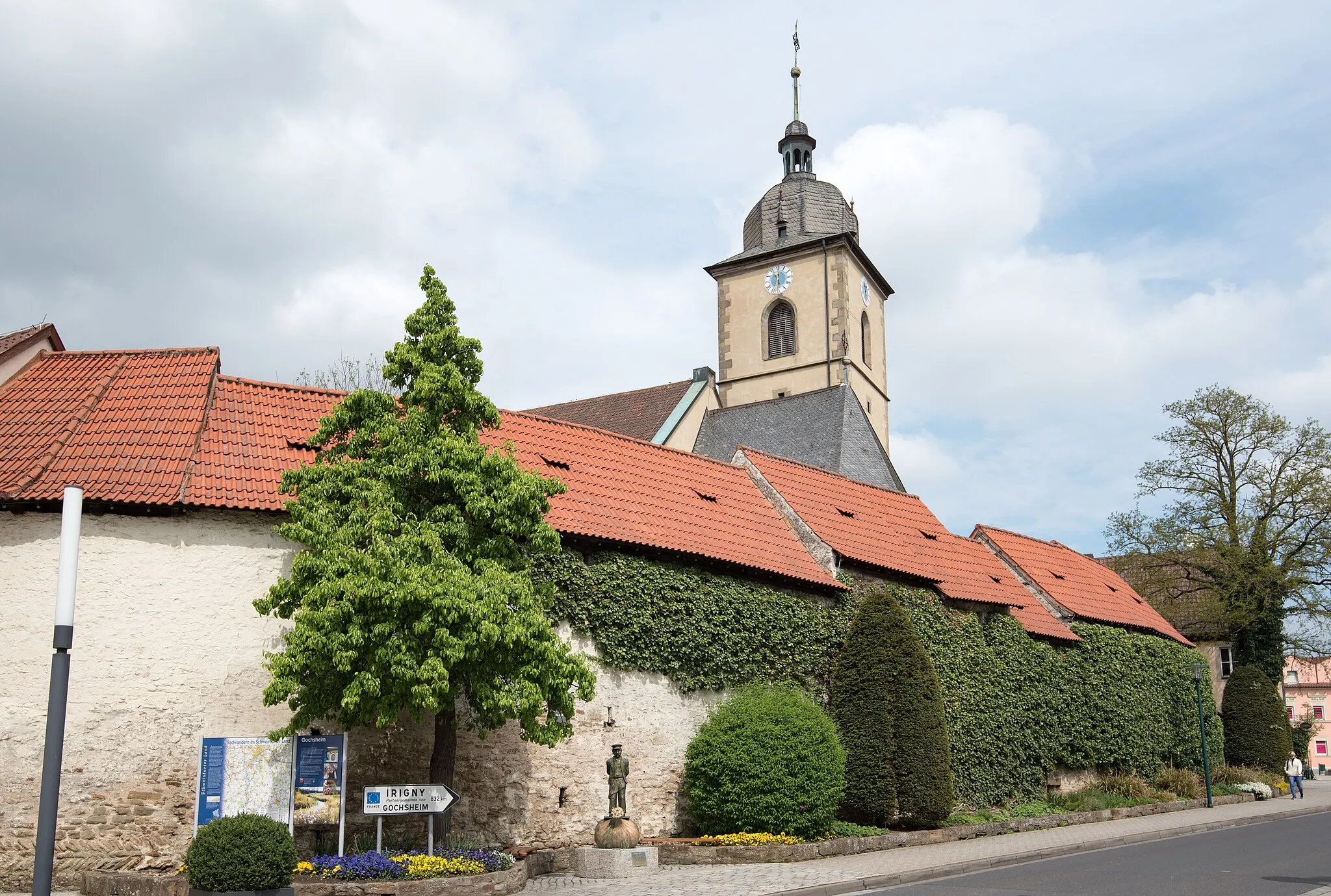
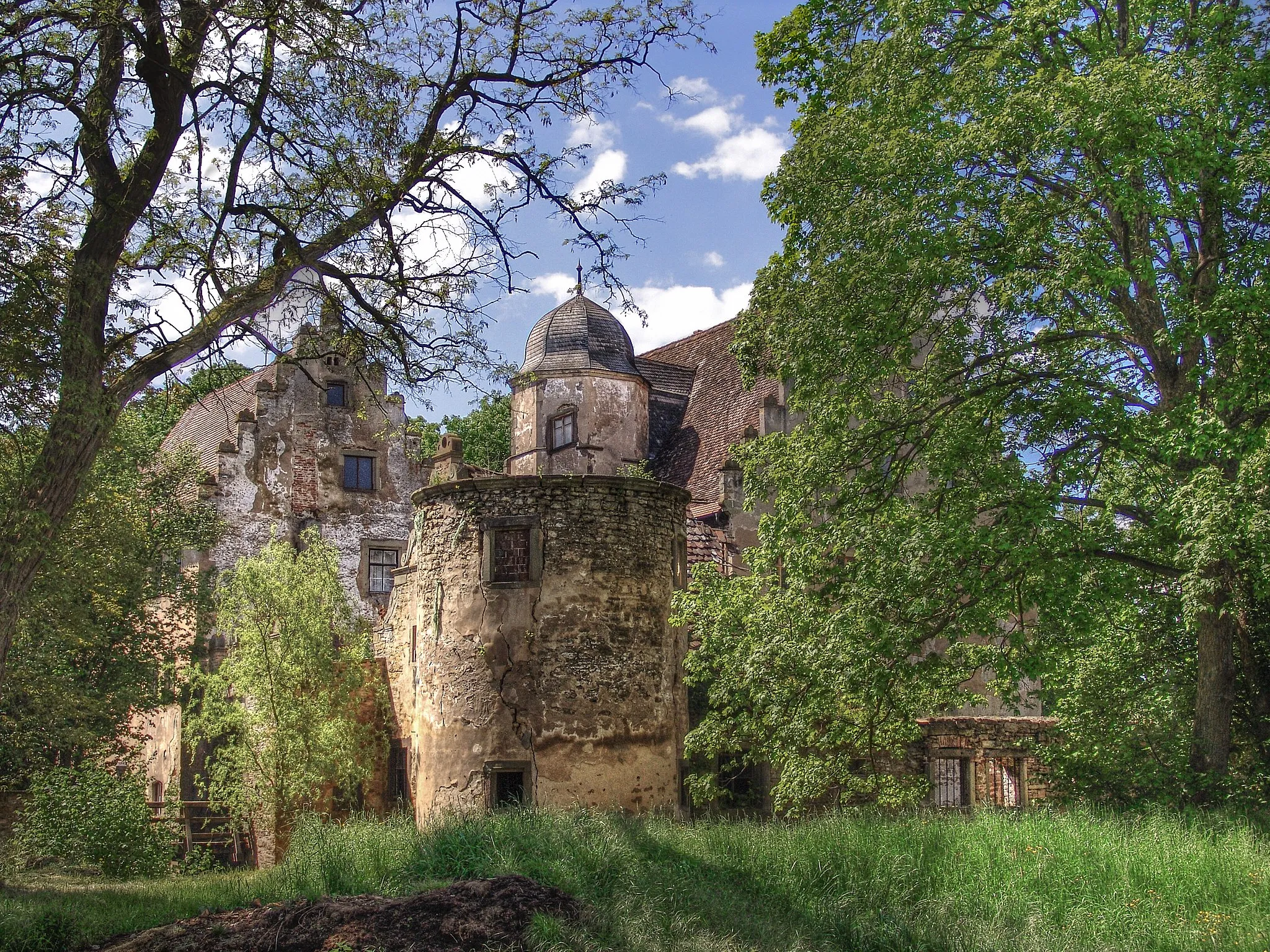
PrappachSub-urbVisit the picturesque village of Prappach, with its historic buildings and beautiful scenery.
31 km
31 km
Mausberg378 mPeakClimb Mausberg, a challenging ascent that rewards you with stunning views at the top.
47 km
47 km
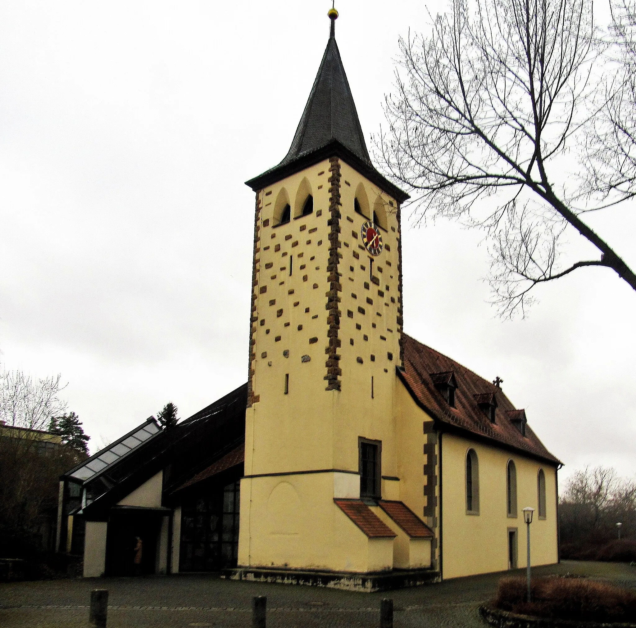
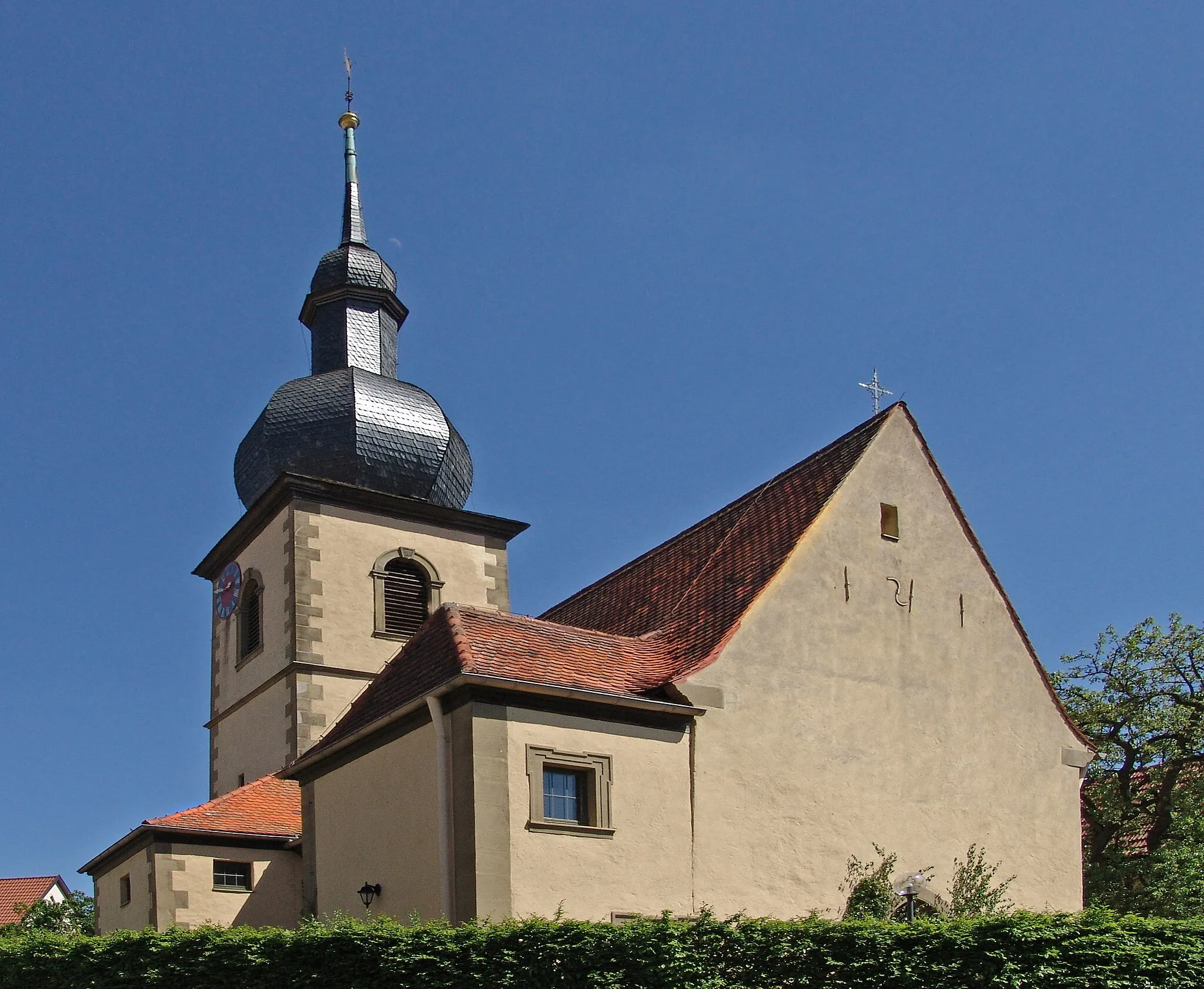
StettfeldVillagePass through the scenic village of Stettfeld, known for its tranquil atmosphere and picturesque landscapes.
51 km
51 km
Ebelsberg335 mPeakExperience the beauty of Ebelsberg, a hidden gem tucked away in the rolling hills of Unterfranken.
64 km
64 km
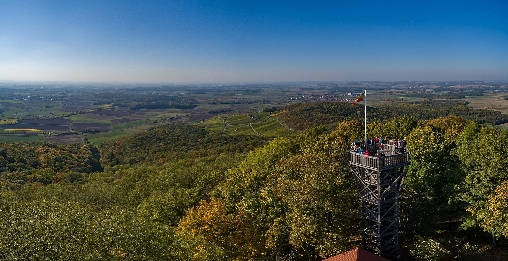
Hohe LoheViewpointDiscover Hohe Lohe, a serene hilltop with panoramic views that stretch for miles.
75 km
75 km
SteinsfeldVillageStop by Steinsfeld, a charming village surrounded by lush green fields and idyllic scenery.
90 km
90 km
SchonungenVillageStart and end your journey in Schonungen, a quaint town with a rich history and vibrant culture.
90 km
90 km
Finish: Schonungen Village centerSchonungen: Quaint cycling routes amidst picturesque landscapes
Cycling routes from Schonungen:
Untertheres and Zabelstein Gravel Route Marktsteinach Road Route Gössenheim and Pfaffenberg Road Route Mainberg Castle and Hofheim in Unterfranken Road Route Rehberg and Bad Neustadt an der Saale Road Route The 90-km Gravel Adventure The 106-km Scenic Road Cycling Tour The 59-km Gravel Adventure The 79-km Thrilling Gravel Adventure The 81-km Epic Gravel Cycling Challenge
Cycling routes nearby: