Rehberg and Bad Neustadt an der Saale Road Route
A road cycling route starting from Schonungen
Explore the natural beauty of Rehberg and the historic town of Bad Neustadt an der Saale on this road route.
Map
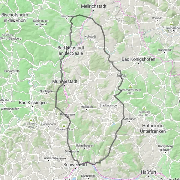
This road route takes you through the picturesque landscapes of Rehberg and Bad Neustadt an der Saale. Admire the stunning views of rolling hills, serene forests, and sparkling rivers. The route has a challenging difficulty level, with a total ascent of 1169m and a distance of 110km. It is suitable for experienced cyclists looking for a challenging ride. Epicness: 4/5
road
110 km
1169 m
Tough
Route profile
Highlights on the route
0 km
0 km
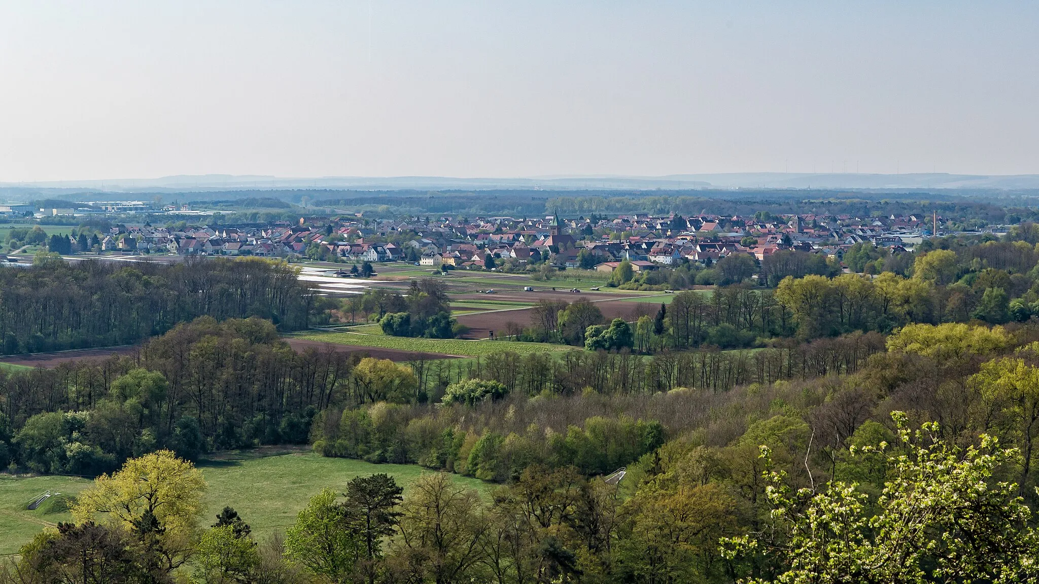
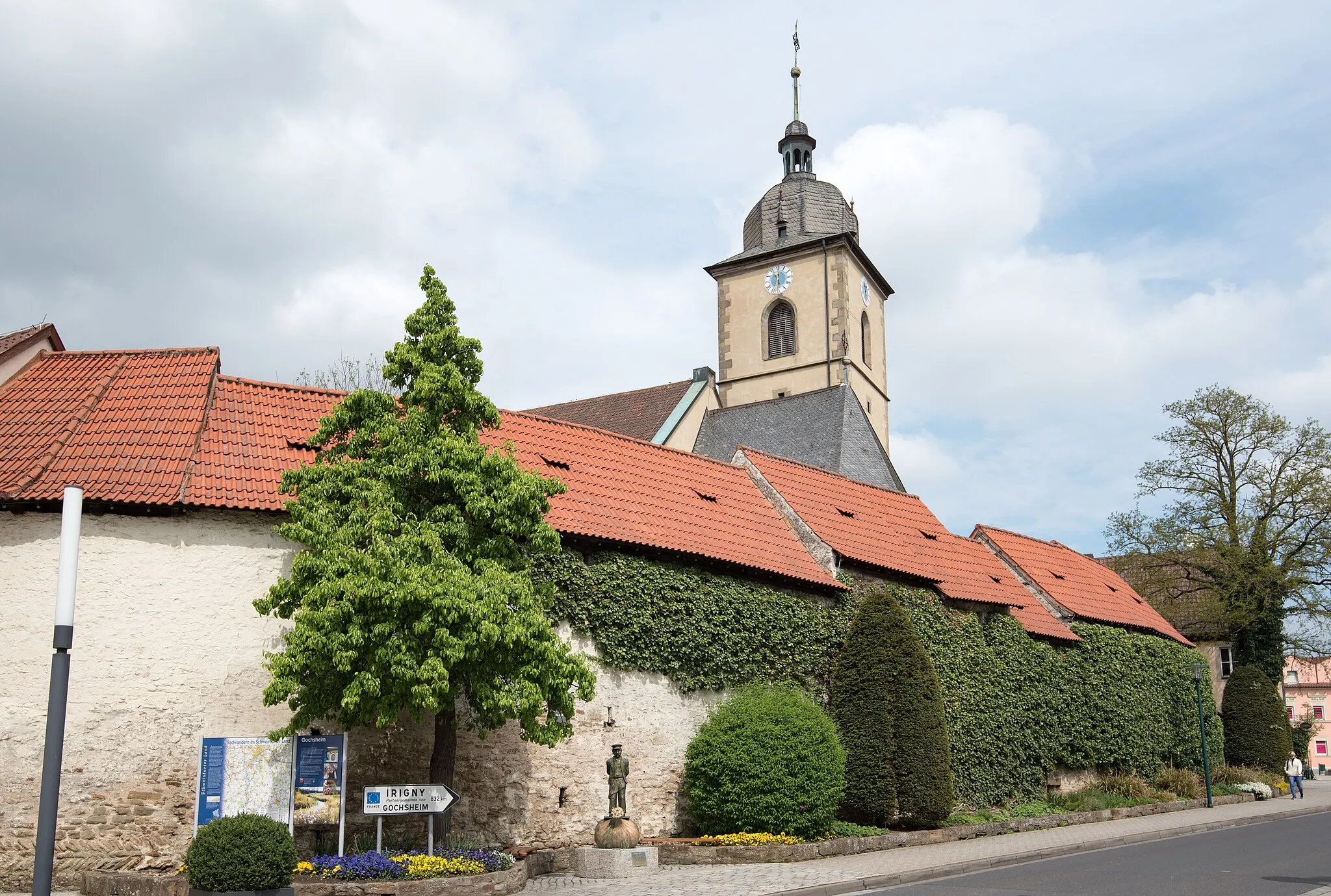
Start: Schonungen Village centerSchonungen: Quaint cycling routes amidst picturesque landscapes
Schonungen is a beautiful locality located in the Unterfranken region of Germany. As a road and gravel cyclist, Schonungen offers a variety of cycling routes amidst picturesque landscapes. The region is known for its quaint villages and rolling hills, providing both enjoyable rides for leisurely cyclists and challenging ascents for the more adventurous. One well-known cycling spot nearby is Alte Liebe climbing area, which attracts climbers and cyclists alike with its challenging routes. With its scenic beauty and cyclist-friendly routes, Schonungen is a great destination for exploring the German countryside on two wheels.0 km
0 km
SchonungenVillageSchonungen is a vibrant town with a rich history and cultural events throughout the year.
3 km
3 km
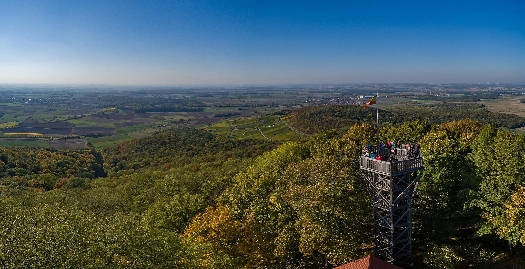
BeerhüterturmViewpointBeerhüterturm offers a stunning panoramic view of the surrounding countryside.
19 km
19 km
RannungenVillageRannungen is a charming village nestled amidst rolling hills and beautiful meadows.
27 km
27 km
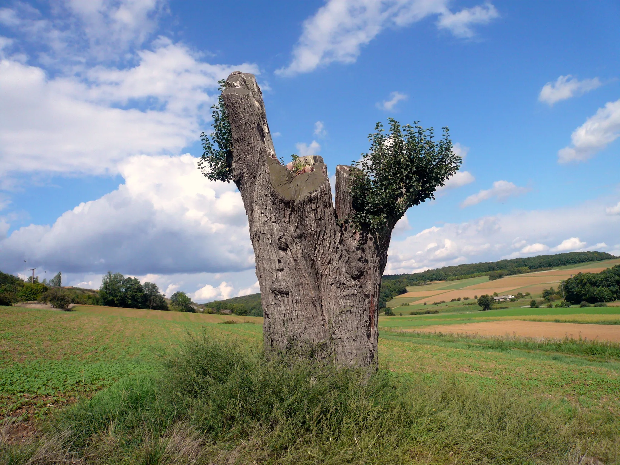
Katzenberg382 mPeakKatzenberg is a hill with an impressive viewpoint overlooking the surrounding landscapes.
42 km
42 km
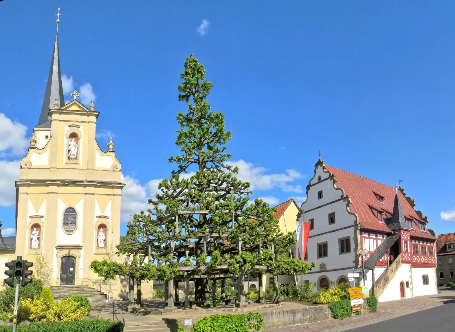
Bad Neustadt an der SaaleTownBad Neustadt an der Saale is a historic town, known for its well-preserved medieval buildings and charming atmosphere.
51 km
51 km
Rehberg392 mPeakRehberg is a lush nature reserve perfect for hiking and cycling enthusiasts.
64 km
64 km
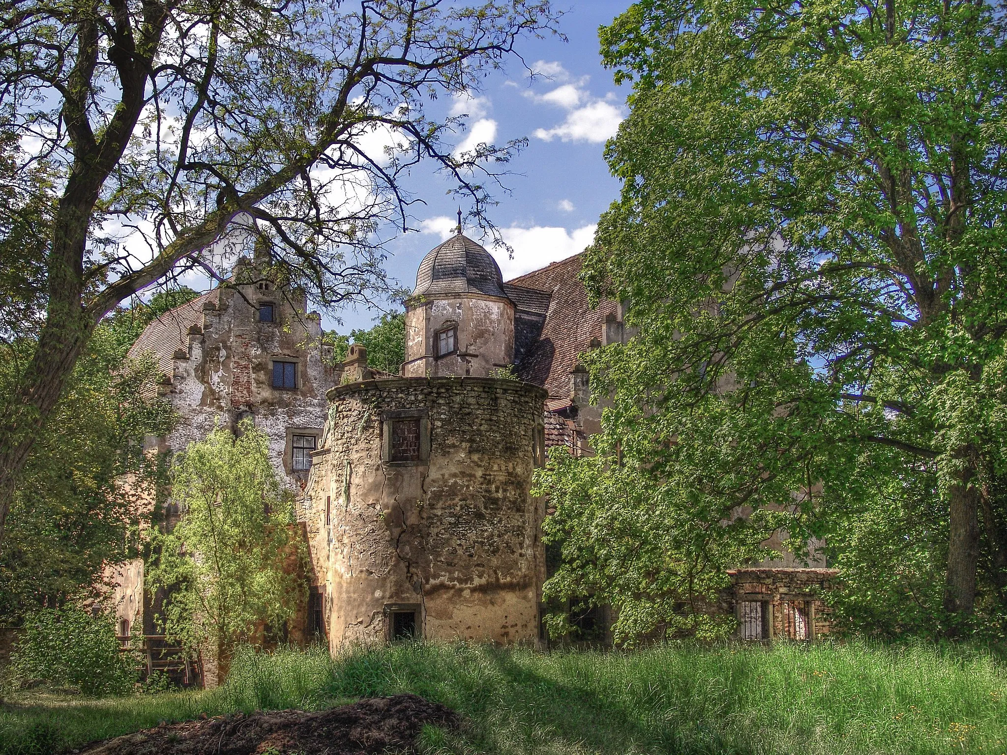
JunkershausenVillageJunkershausen is a tranquil village surrounded by idyllic vineyards and blooming orchards.
75 km
75 km
Hart329 mPeakHart is a small village with picturesque scenery, offering breathtaking views of the Main river.
99 km
99 km
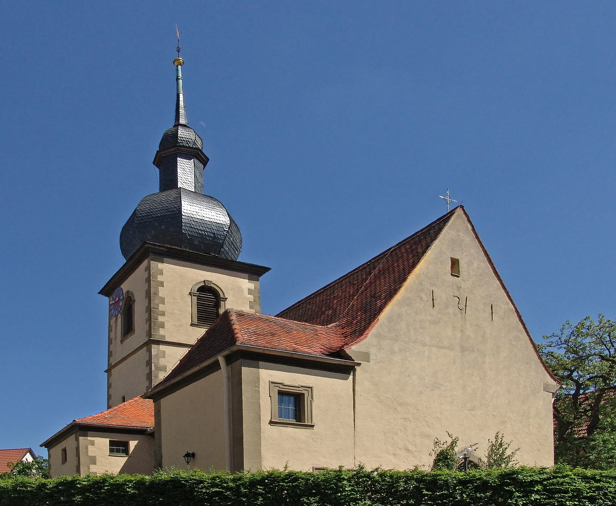
ReichmannshausenVillageReichmannshausen is a historic village with traditional half-timbered houses and a rich cultural heritage.
106 km
106 km
MarktsteinachVillageMarktsteinach is a charming town with a medieval market square and a pleasant, relaxed atmosphere.
110 km
110 km
Finish: Schonungen Village centerSchonungen: Quaint cycling routes amidst picturesque landscapes
Cycling routes from Schonungen:
Untertheres and Zabelstein Gravel Route Marktsteinach Road Route Gössenheim and Pfaffenberg Road Route Mainberg Castle and Hofheim in Unterfranken Road Route Rehberg and Bad Neustadt an der Saale Road Route The 90-km Gravel Adventure The 106-km Scenic Road Cycling Tour The 59-km Gravel Adventure The 79-km Thrilling Gravel Adventure The 81-km Epic Gravel Cycling Challenge
Cycling routes nearby: