Schwedenschanze and Aussichtsplattform
A road cycling route starting from Aidhausen
Discover the scenic views and historical landmarks along this road cycling route.
Map
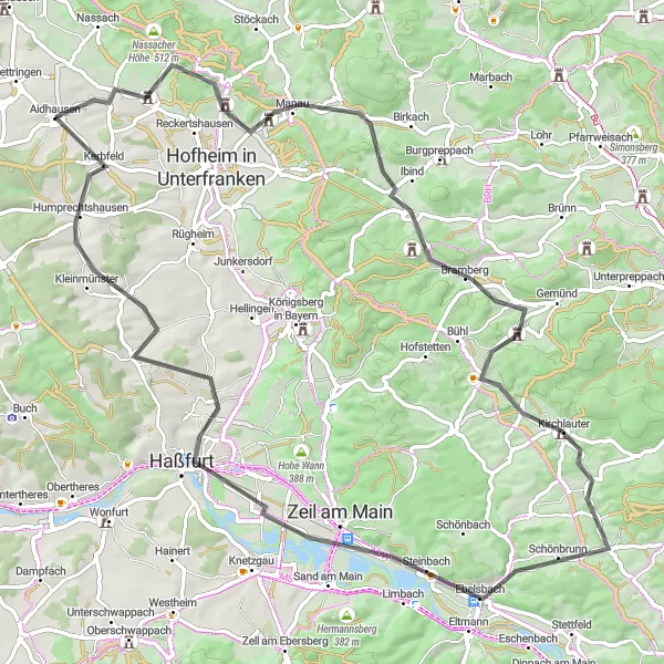
This road cycling route near Aidhausen takes you through picturesque landscapes and past notable highlights. Be prepared for a challenging ride with a total ascent of 827 meters over a distance of 81 kilometers. Along the way, you will encounter the Schwedenschanze, a historic fortification, and the Aussichtsplattform, a viewpoint offering stunning panoramic views. The route also passes through charming villages like Erlsdorf, Kirchlauter, and Humprechtshausen.
road
81 km
827 m
Tough
Route profile
Highlights on the route
0 km
0 km
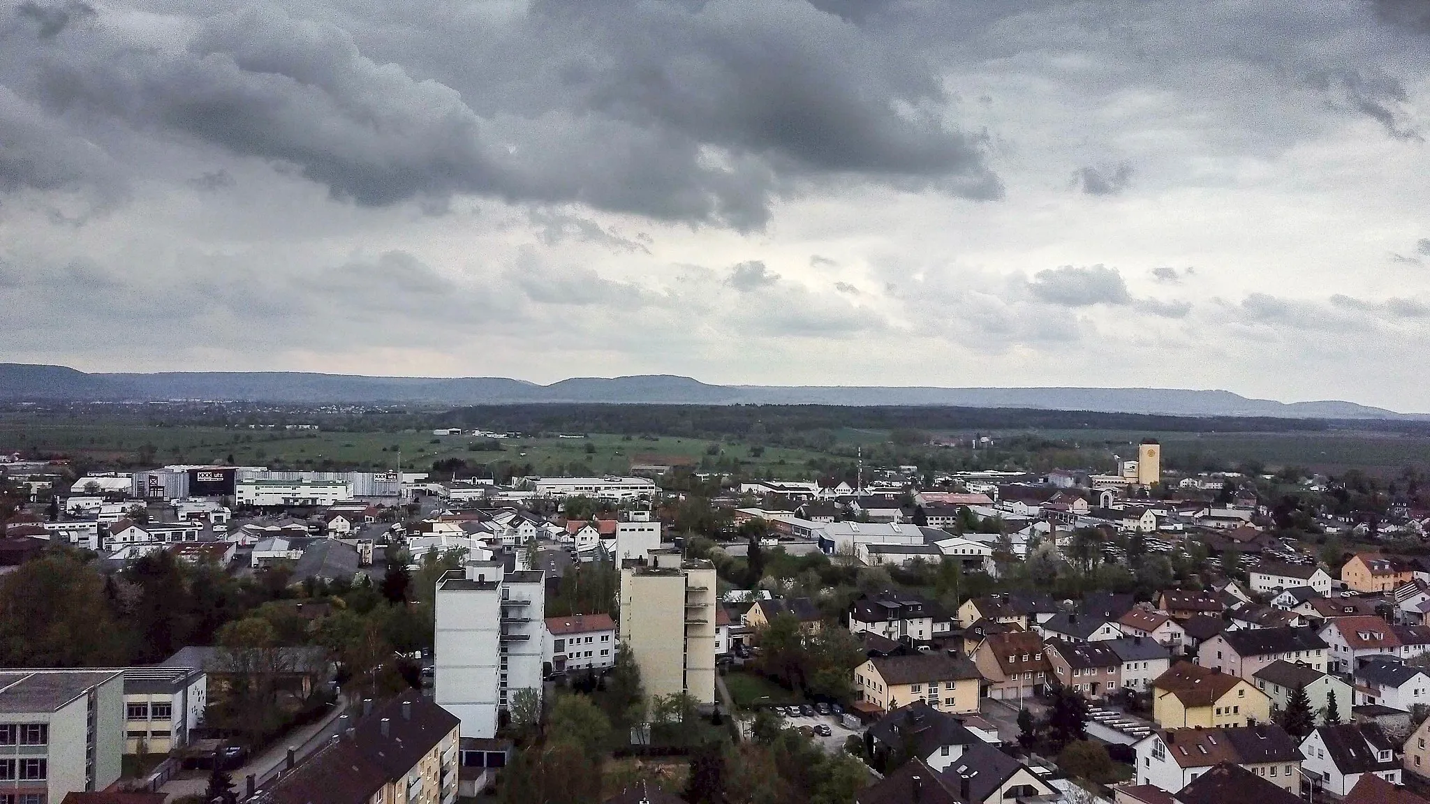
Start: Aidhausen Village centerAidhausen: Picturesque rides in a serene setting.
Aidhausen is a town located in Unterfranken, Germany. For road and gravel cyclists, Aidhausen offers enjoyable riding experiences through charming countryside landscapes. While not home to must-visit cycling destinations or famous climbs, the region provides picturesque views and quiet roads perfect for peaceful explorations. Cyclists looking for pleasant rides in a tranquil environment will find Aidhausen to be a suitable choice.7 km
7 km
SchwedenschanzeViewpointThe Schwedenschanze is an impressive historical site dating back to the 17th century, built as a defense against Swedish forces during the Thirty Years' War. Explore the walls of the fortification and learn about its fascinating history.
15 km
15 km
ErlsdorfVillageErlsdorf is a charming village known for its well-preserved half-timbered houses. Take a moment to admire the traditional architecture and immerse yourself in the rural atmosphere.
26 km
26 km
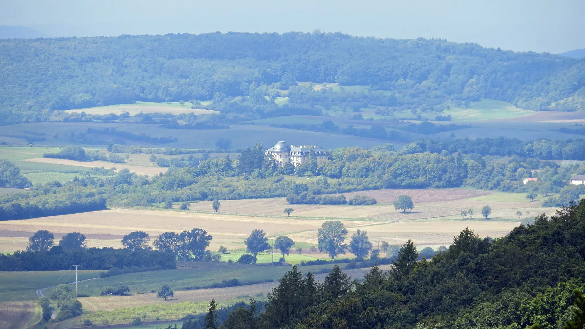
AussichtsplattformViewpointThe Aussichtsplattform offers breathtaking views of the surrounding countryside. Marvel at the rolling hills and green meadows that stretch as far as the eye can see.
35 km
35 km
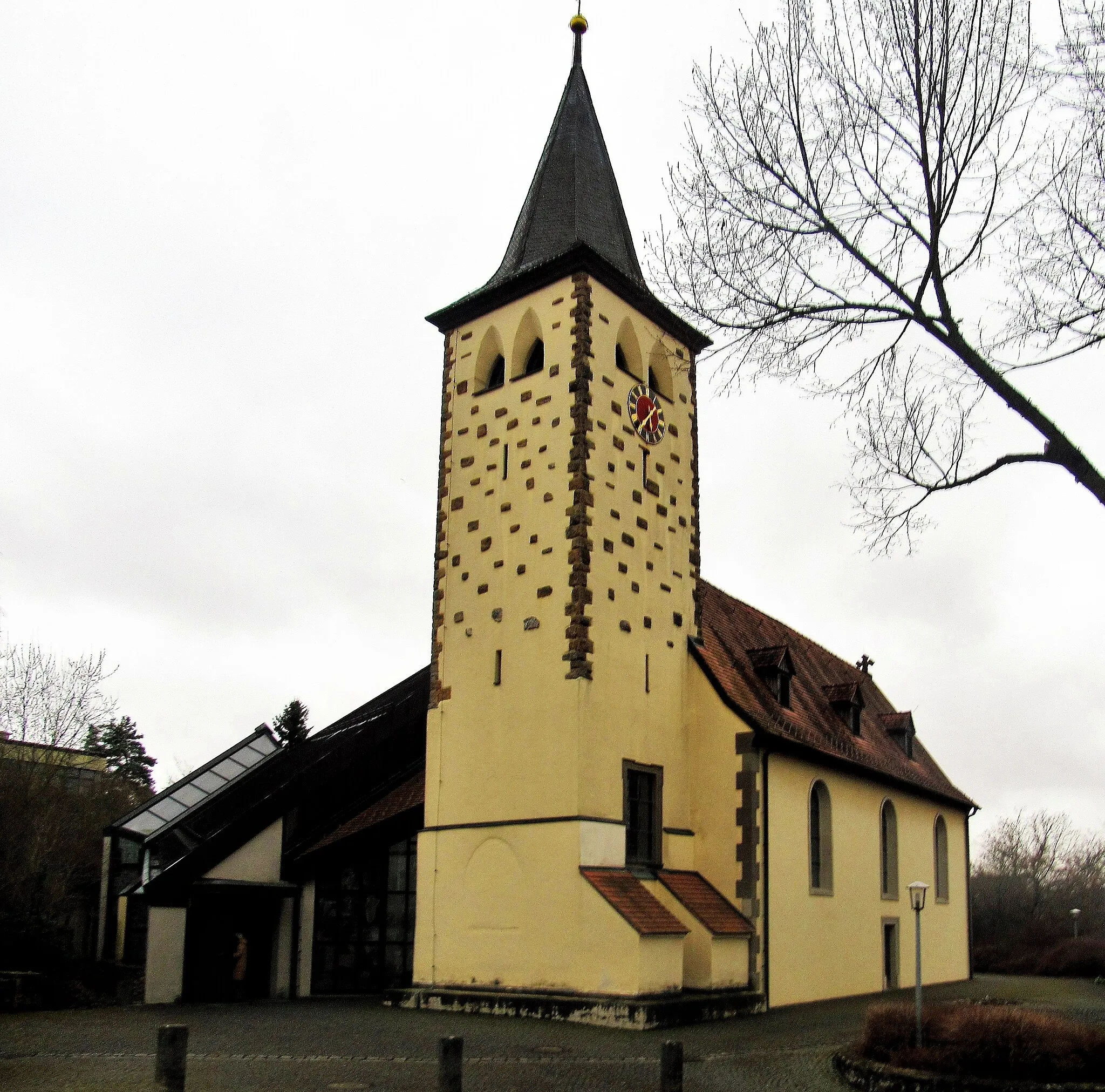
KirchlauterVillageKirchlauter is a quaint village with a rich cultural heritage. Explore its charming streets and visit the local church, which dates back to the 13th century.
49 km
49 km
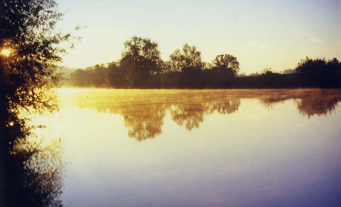
Steinberg352 mPeakSteinberg is a picturesque village situated amidst beautiful nature. Enjoy the peaceful ambiance and take a moment to relax by the tranquil pond.
50 km
50 km
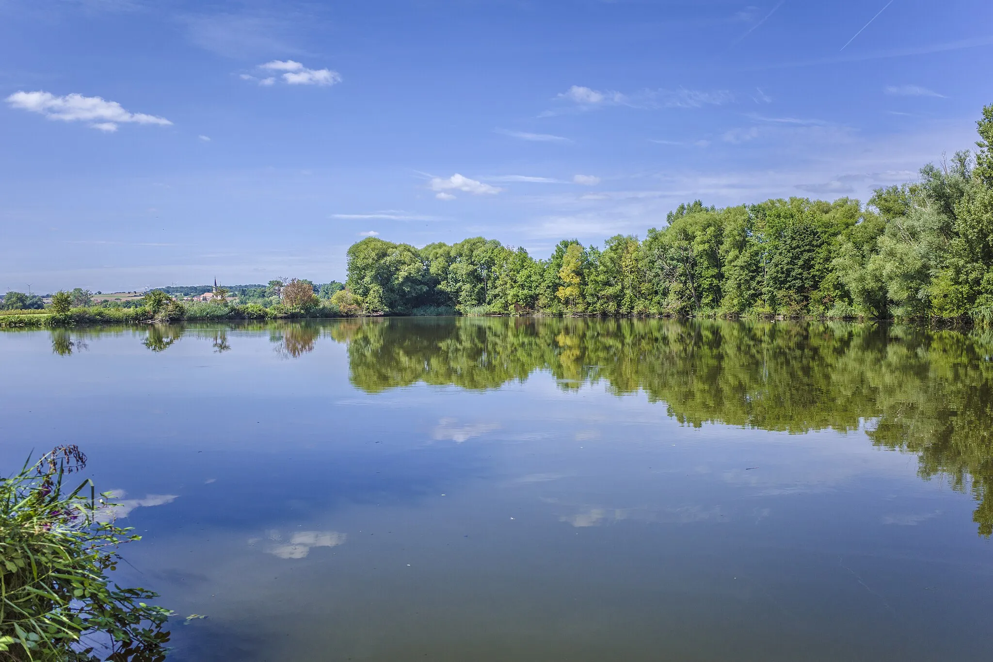
SteinbachVillageSteinbach is known for its idyllic location and scenic surroundings. Take a leisurely stroll through the village and admire the traditional Franconian architecture.
62 km
62 km
SylbachSub-urbSylbach is a charming hamlet nestled amidst rolling hills. Enjoy the serenity of the countryside and take in the beauty of the surrounding landscapes.
75 km
75 km
HumprechtshausenVillageHumprechtshausen is a small village with a welcoming atmosphere. Visit the local church, which features unique architectural elements, and explore the tranquil surroundings.
81 km
81 km
Finish: Aidhausen Village centerAidhausen: Picturesque rides in a serene setting.
Cycling routes from Aidhausen:
Cycling routes nearby: