Gravel Trails through Rhön
A gravel cycling route starting from Bischofsheim in der Rhoen
Embark on an adventure on gravel trails and discover the natural beauty of the Rhön region.
Map
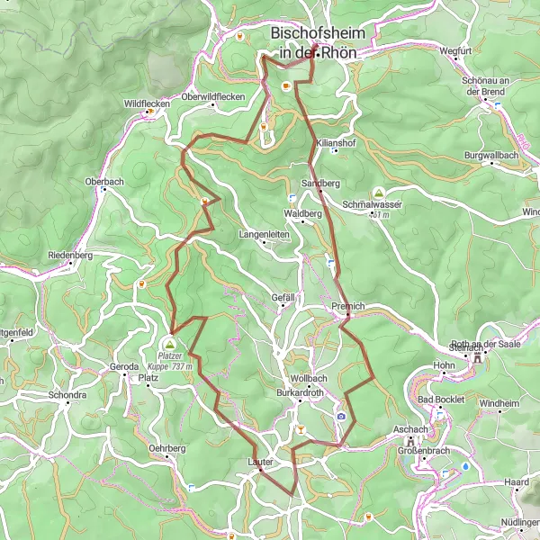
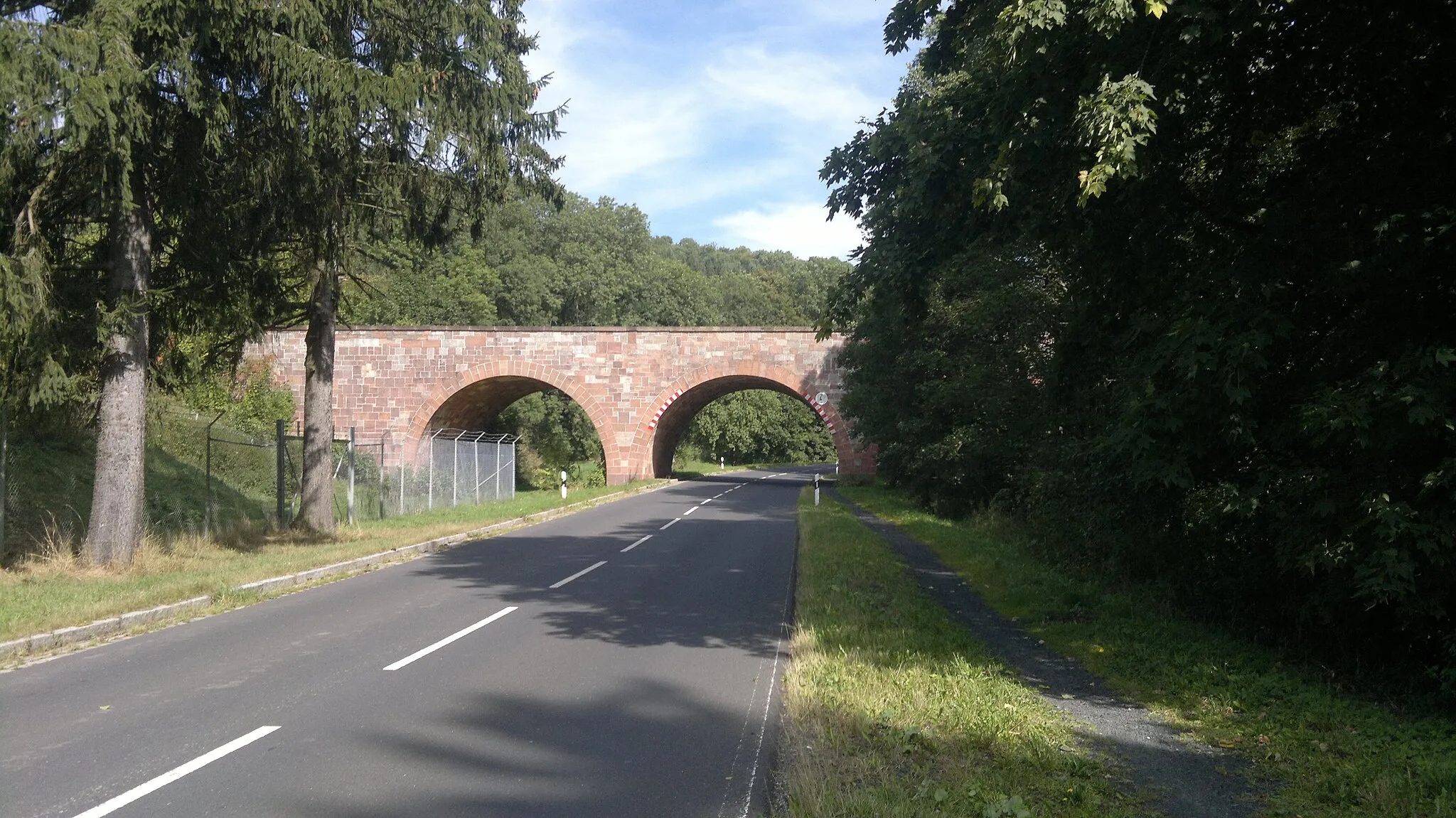
Experience the thrill of cycling off-road on this 56-kilometer gravel route through the stunning Rhön region. With a challenging ascent of 1479 meters, this route is best suited for experienced gravel cyclists. Immerse yourself in nature as you explore the diverse terrain and enjoy breathtaking views throughout your journey.
gravel
56 km
1479 m
Tough
Route profile
Highlights on the route
0 km
0 km
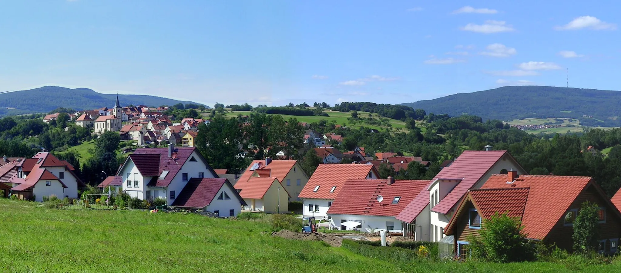
Start: Bischofsheim in der Rhön City centerBischofsheim in der Rhön: Scenic landscapes and exciting terrains for gravel and mountain biking in Bischofsheim in der Rhön.
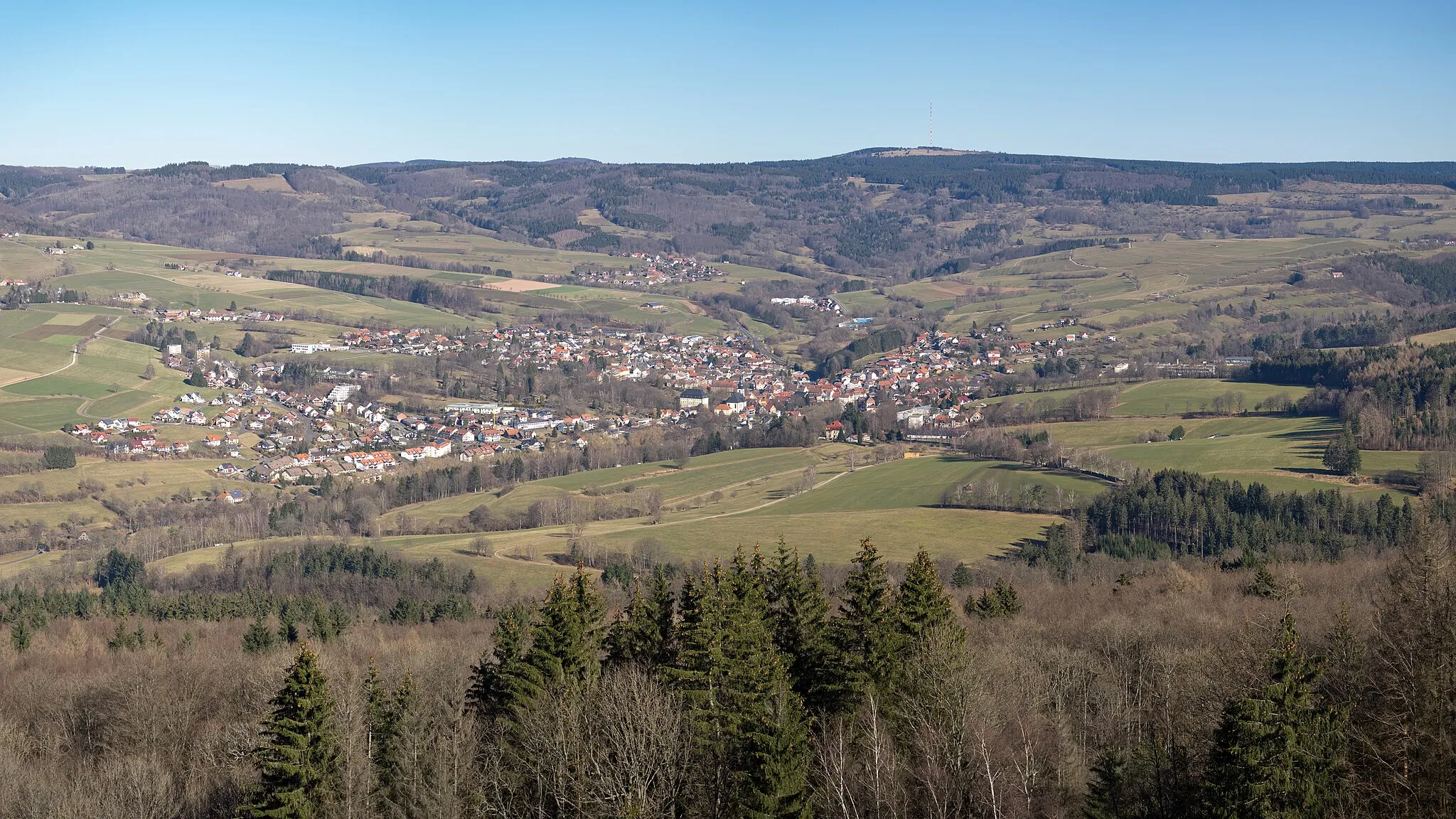
Bischofsheim in der Rhön is a town located in Unterfranken, Germany. From a cyclist's perspective, Bischofsheim in der Rhön offers scenic landscapes and a variety of cycling routes. The town is surrounded by hills and forests, providing excellent opportunities for gravel and mountain biking. There are several well-known climbs in the surrounding area, such as Kreuzberg and Wasserkuppe, which offer challenging ascents and stunning views. Overall, Bischofsheim in der Rhön is a great destination for cyclists looking for exciting terrains and beautiful natural surroundings.0 km
0 km
Finkelberg523 mPeakMake a stop at Finkelberg and enjoy panoramic views of the surrounding natural landscapes.
12 km
12 km
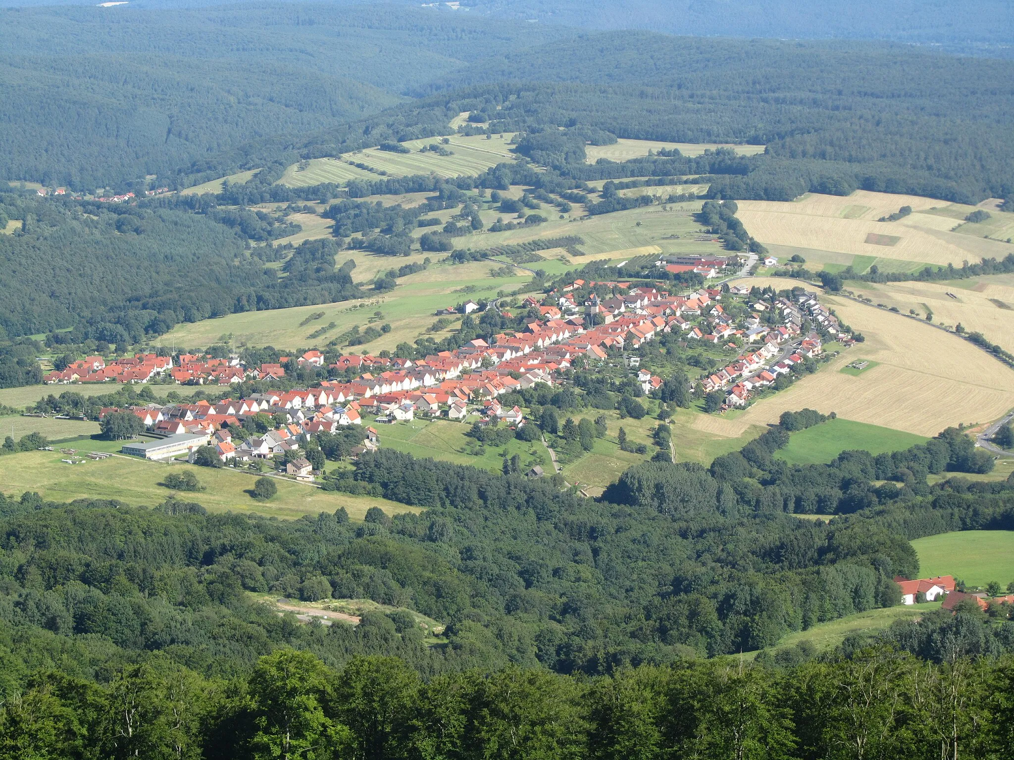
PremichVillageDiscover Premich, a quaint village surrounded by lush forests and rolling hills.
28 km
28 km
WaldfensterVillagePedal through Waldfenster, a charming rural hamlet with picturesque landscapes.
39 km
39 km
Totnansberg839 mPeakPass by Totnansberg and admire the rugged beauty of the Rhön region.
50 km
50 km
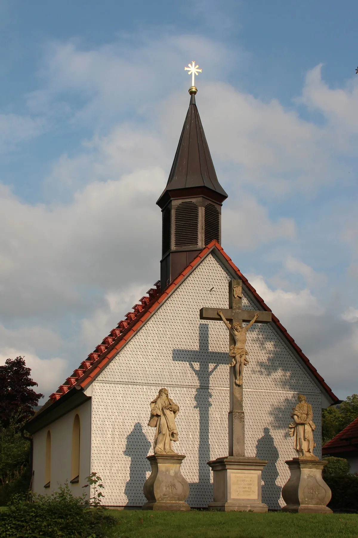
Kreuzberg (Rhön)928 mPeakStop at Kreuzberg (Rhön), a famous pilgrimage site featuring a monastery and stunning views.
55 km
55 km
Haselbach in der RhönSub-urbExplore Haselbach in der Rhön, a peaceful village nestled among rolling hills.
56 km
56 km
Finish: Bischofsheim in der Rhön City centerBischofsheim in der Rhön: Scenic landscapes and exciting terrains for gravel and mountain biking in Bischofsheim in der Rhön.
Cycling routes from Bischofsheim in der Rhoen:
Gravel Serenity: Exploring Rhön's Tranquil Landscapes Gravel Adventure to Kilianskopf Cycling in the Land of Castles Road Cycling Odyssey: Discovering the Wonders of Rhön Rolling Hills around Simmelsberg Gravel Trails through Rhön Gravel Adventure: Exploring Rhön's Beauty Thrilling Gravel Challenge: Conquering Rhön's Heights Rhön Challenge: Climbs and Views Bischofsheim and the Mesmerizing Rhön Rhön Road Cycling Adventure
Cycling routes nearby: