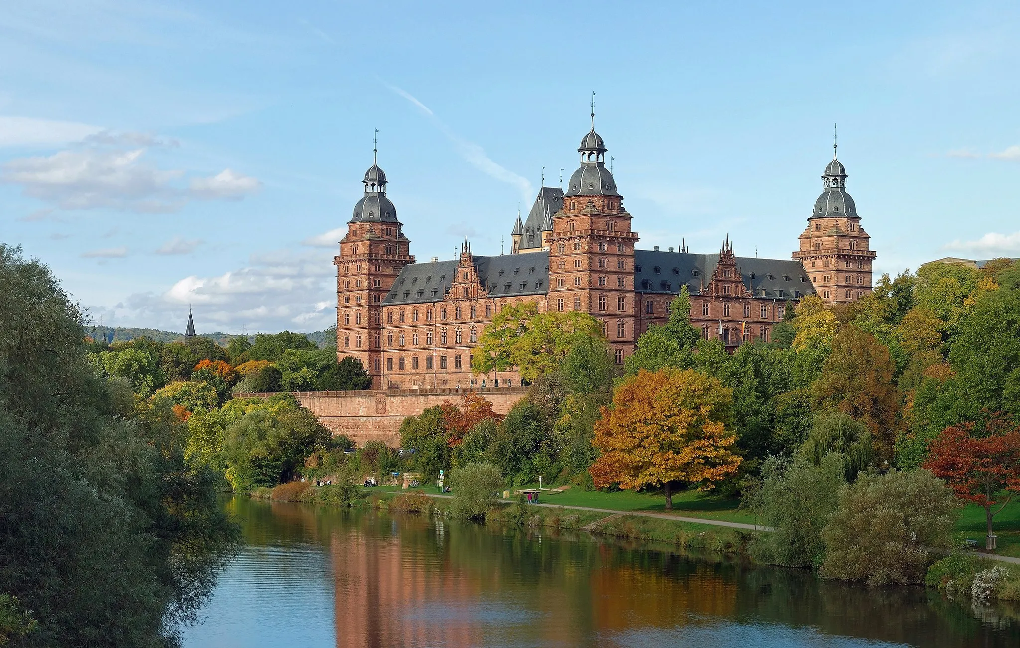
Quiet roads and charming landscapes in the Unterfranken region of Germany.
Cycling routes from Mainaschaff
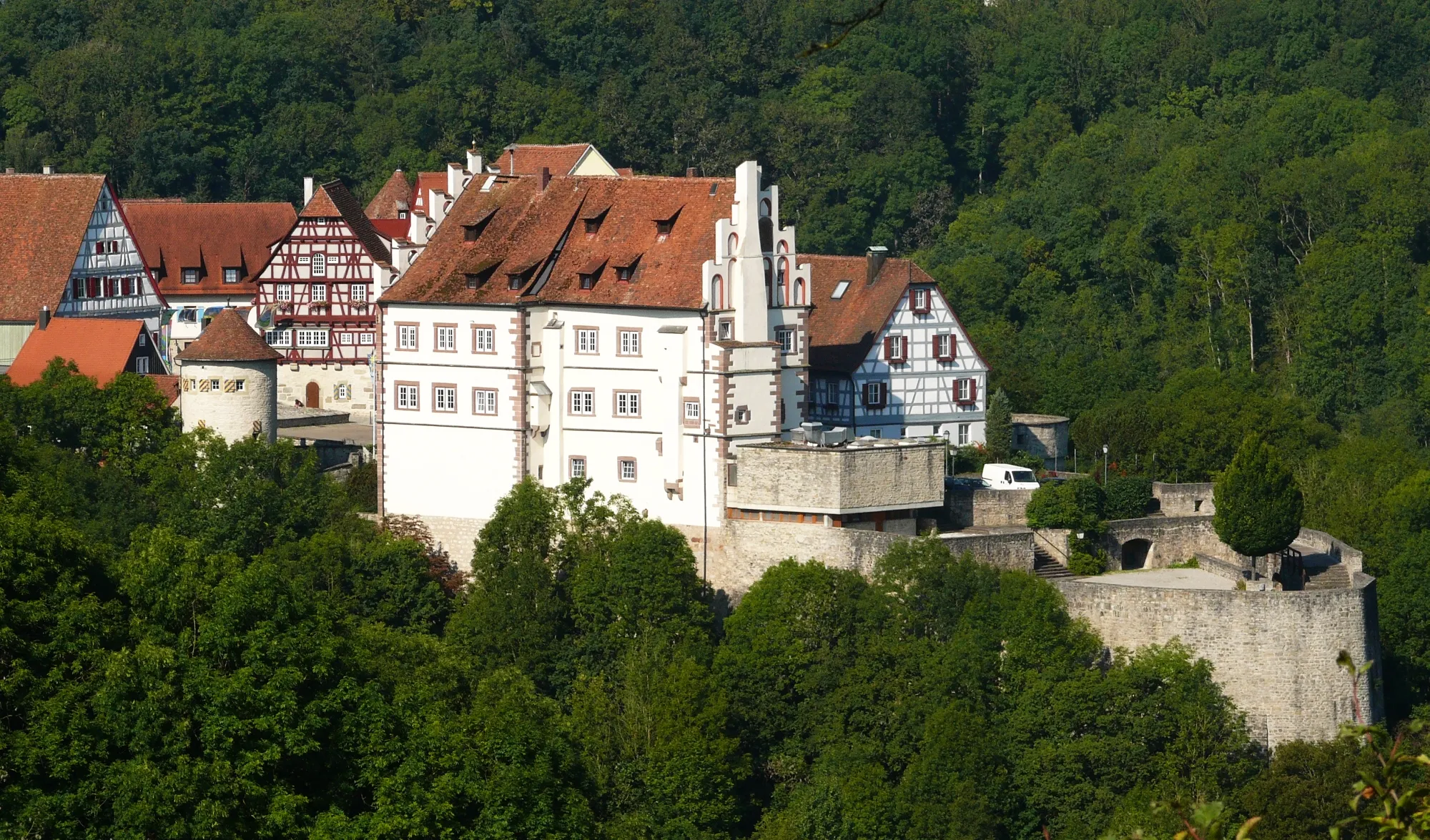
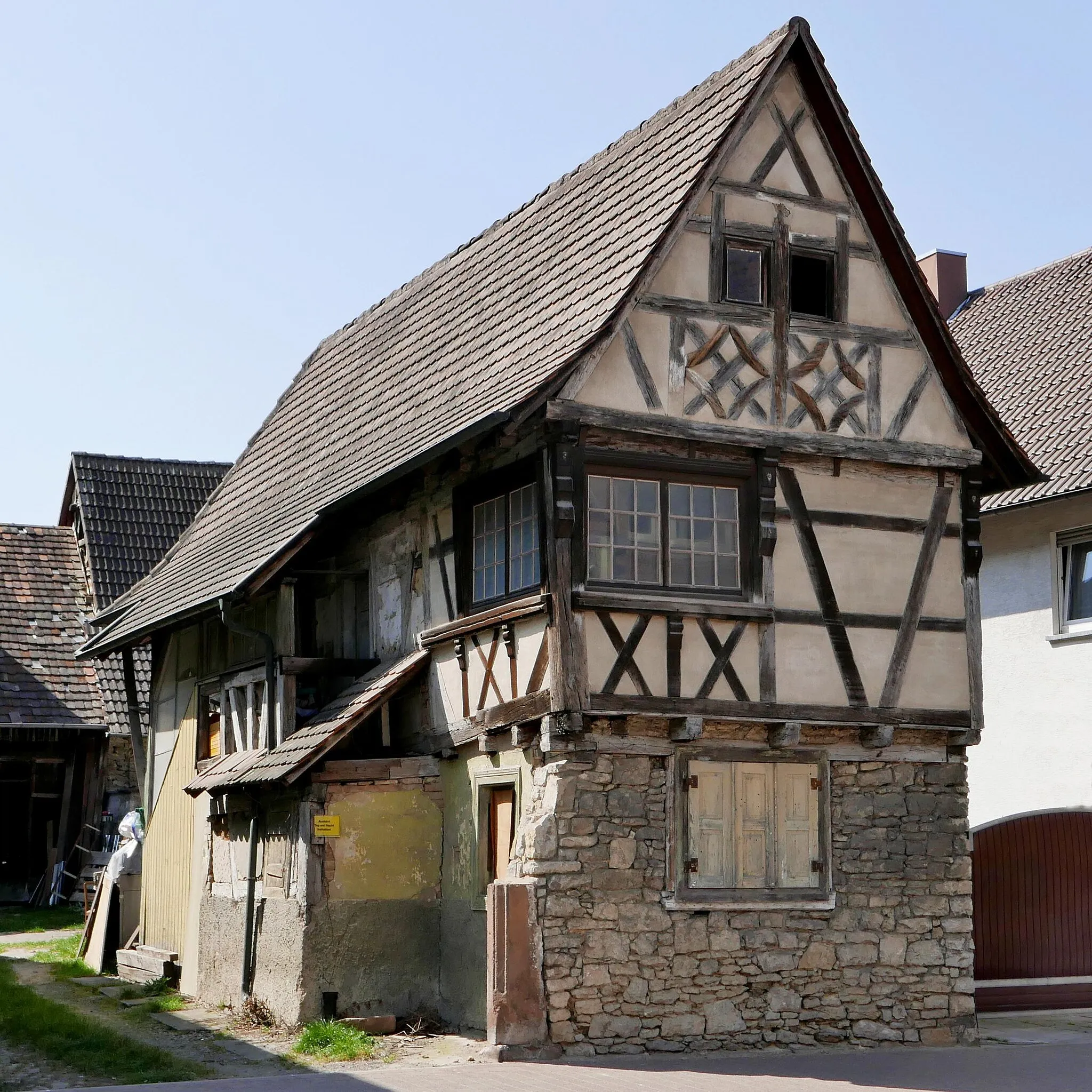
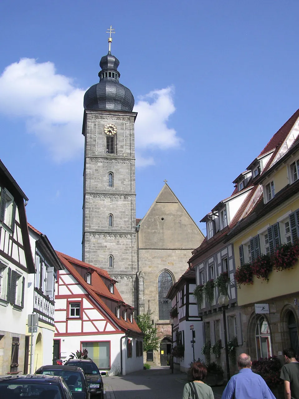
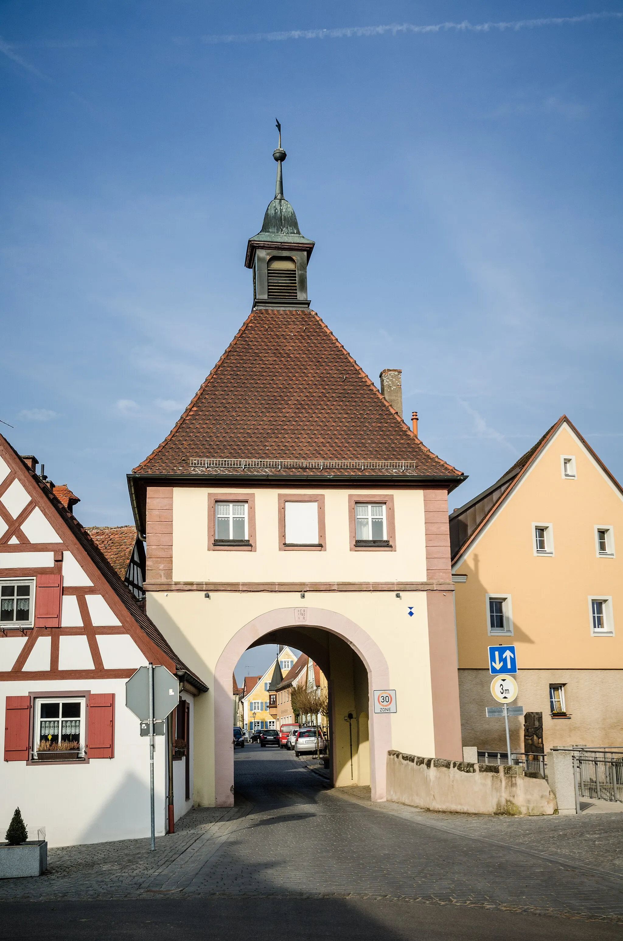
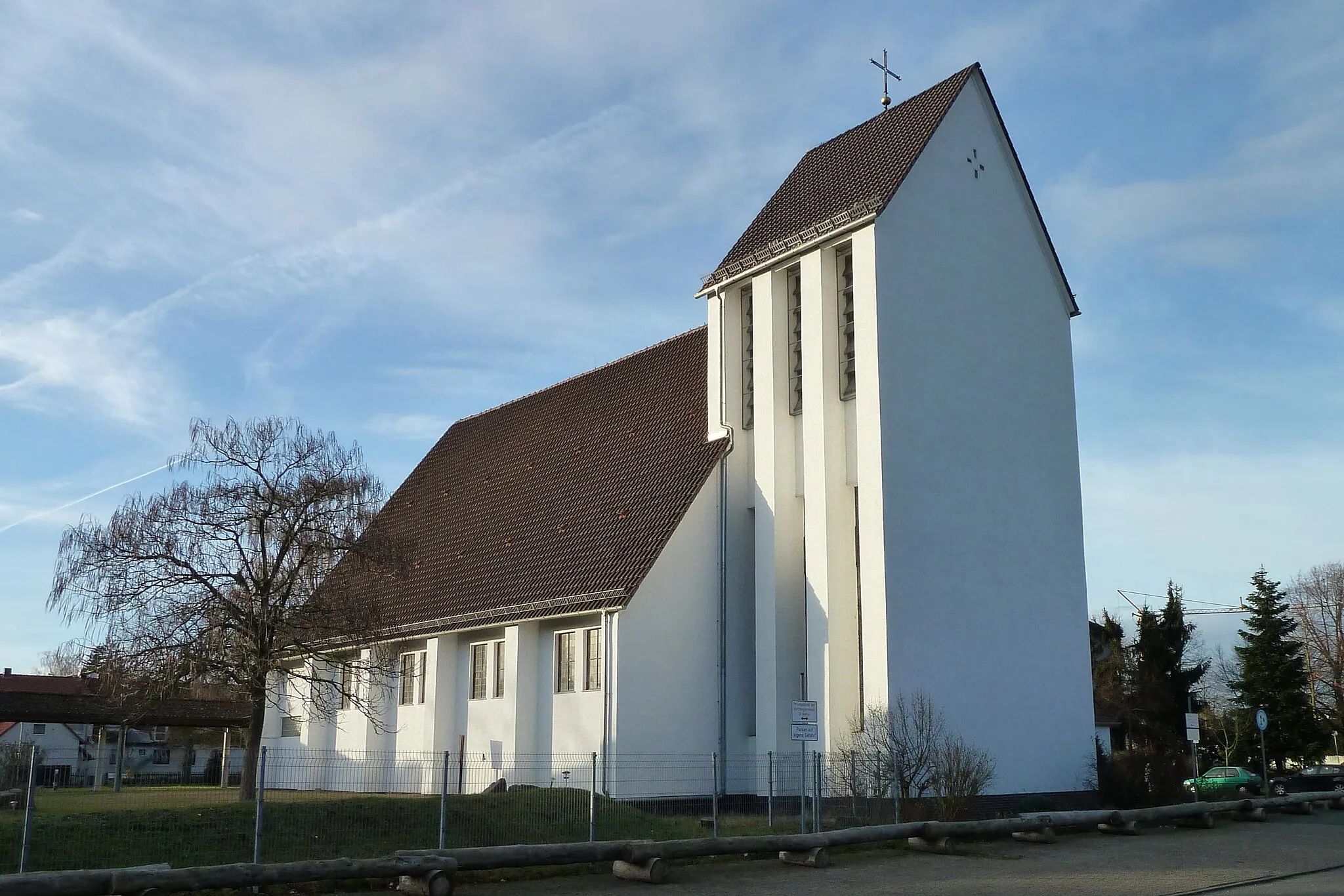
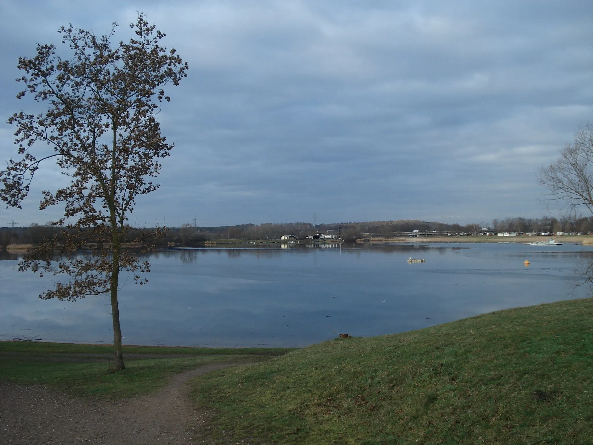
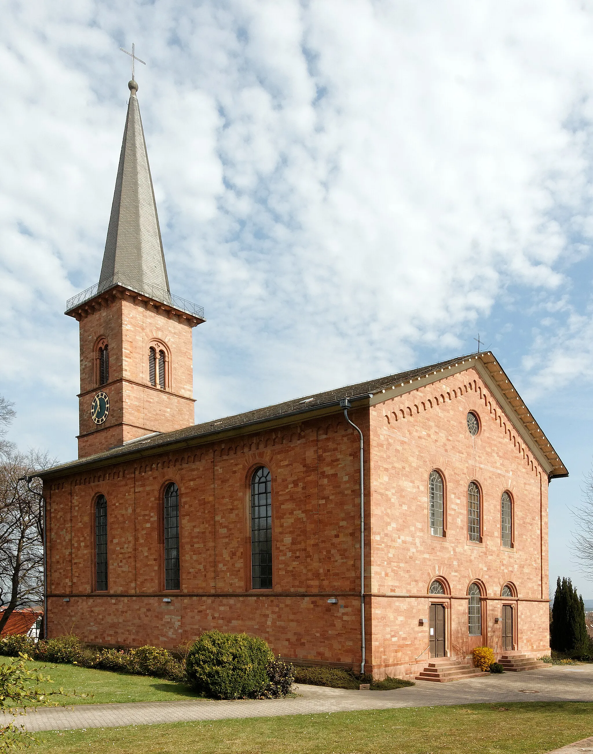
Mainaschaff is a delightful locality located in the Unterfranken region of Germany. From a cyclist's perspective, Mainaschaff offers a mix of quiet roads and charming landscapes, suitable for road and gravel biking. The town is surrounded by rolling hills and idyllic countryside, providing a serene setting for cyclists to enjoy. There are also various cycling routes and paths in the vicinity, offering recreational options for riders of different abilities. Additionally, Mainaschaff provides easy access to the Spessart mountain range, which is known for its scenic routes and challenging climbs. Overall, Mainaschaff is a cyclist-friendly locality with options for riders seeking both leisurely rides and more adventurous routes.
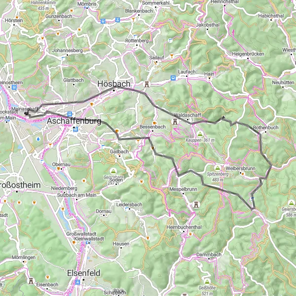
Embark on an exhilarating road cycling adventure through the beautiful landscapes of Unterfranken.
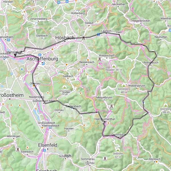
This road cycling route starting near Mainaschaff offers a challenging yet rewarding experience for well-trained amateur cyclists. With a total ascent of 913 meters and a distance of 79 kilometers, this route takes you through idyllic villages, picturesque forests, and captivating viewpoints. Highlights along the route include the charming town of Laufach, the majestic Herrleshöhe viewpoint, and the peaceful village of Heimbuchenthal. Conclude your journey by exploring the historic city of Aschaffenburg before returning to Mainaschaff.
Mainaschaff to Klinger Loop
From Mainaschaff to Klinger, experience the beautiful scenery and challenging climbs of Unterfranken.
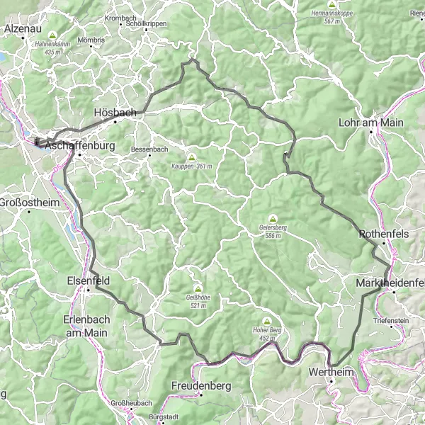
This distinctive cycling route takes you through picturesque landscapes and historic towns of Unterfranken. Starting in Mainaschaff, you'll embark on a challenging journey that includes breathtaking ascents, with a total ascent of 1419 meters. Along the 133-kilometer route, you'll encounter highlights such as the quaint village of Sailauf, known for its charming streets lined with traditional Franconian architecture. Another highlight is Büttenberg, a small hill with stunning views over the surrounding countryside. As you pedal further, you'll pass through Heigenbrücken, where you can take a break and admire the scenic beauty of the area. Continuing onwards, you'll reach Buchhöhe, a picturesque spot known for its peaceful atmosphere. A notable highlight on this route is Einsiedel, a historic pilgrimage site with an enchanting chapel nestled amidst lush greenery. The route also takes you to Hafenlohr, a charming village located on the banks of the Main River, offering tranquil picnic spots and views of passing barges. One of the final highlights is Rainberg, a small hill that rewards you with panoramic vistas of the Main River valley. Conclude this captivating journey in Mainaschaff, completing a round-trip full of memorable experiences.
Embark on a scenic road cycling adventure from Mainaschaff to Kleinostheim
Discover the beauty of the region with this 67 km road cycling route from Mainaschaff to Kleinostheim. With a total ascent of 170 meters, this route offers a relatively easy ride suitable for all skill levels. Experience the charming towns and serene countryside as you pedal along.
Embark on an adventurous and scenic road cycling route through spectacular landscapes of Unterfranken.
This road cycling route starting near Mainaschaff is a true adventure that takes you through enchanting towns and breathtaking landscapes. With a total ascent of 811 meters and a distance of 63 kilometers, this route offers a challenging ride for well-trained amateur cyclists. Along the way, you will encounter various highlights including the picturesque town of Rothenbuch, the stunning Herrleshöhe viewpoint, and the historic city of Aschaffenburg. This route combines natural beauty with cultural and historical points of interest, making it a truly memorable experience.
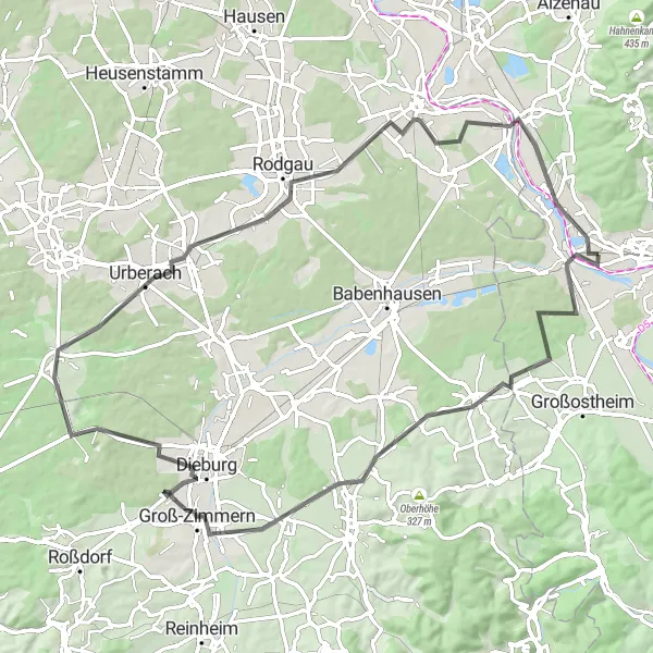
Explore the diverse landscapes of Unterfranken and enjoy the challenging climbs on this road cycling route.
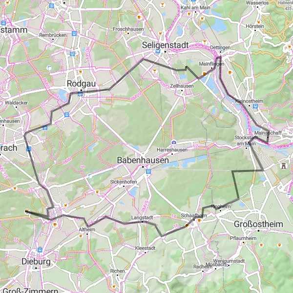
This round-trip cycling route starting near Mainaschaff takes you through the picturesque towns of Schaafheim, Dieburg, and Rodgau. Along the way, you will encounter various highlights including the scenic Messeler Höhe and the charming town of Rodgau. With a total ascent of 377 meters and a distance of 80 kilometers, this route offers a moderate challenge for well-trained amateur cyclists. The route provides a great opportunity to explore the natural beauty and cultural heritage of Unterfranken.
Discover the scenic and adventurous route from Mainaschaff to Bischberg
Embark on an exciting gravel cycling journey from Mainaschaff to Bischberg. This 80 km route includes breathtaking ascents and a total ascent of 996 meters. Experience the beautiful landscapes and charming towns along the way.
Explore the scenic countryside of Unterfranken on this challenging gravel route
This gravel route near Mainaschaff offers a challenging and rewarding cycling experience. You'll encounter beautiful hills and forests along the way, making it a perfect route for nature lovers. The route includes a total ascent of 1,181 meters over a distance of 60 kilometers, providing a good workout for well-trained amateur cyclists. With its picturesque landscapes and varied terrain, this route is sure to impress both experienced cyclists and nature enthusiasts alike.
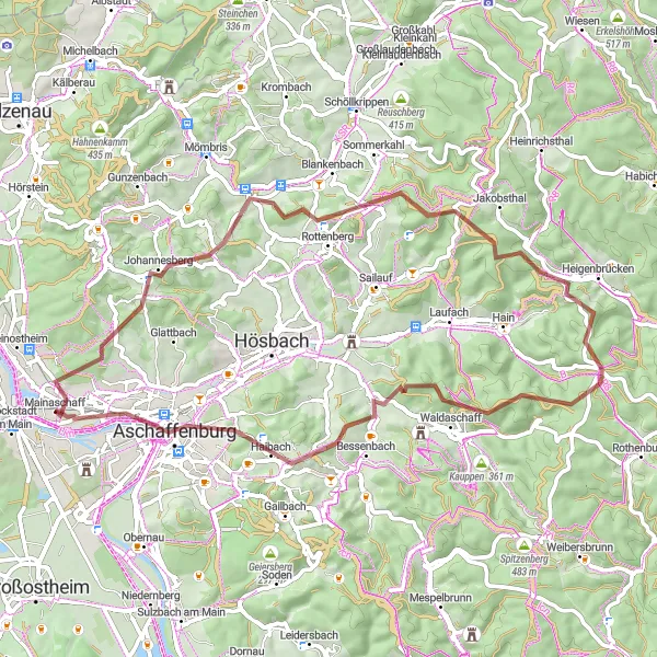
Embark on an epic cycling adventure through the stunning landscapes of Unterfranken
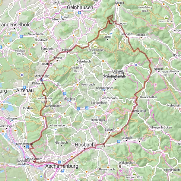
This challenging gravel route near Mainaschaff offers cyclists an epic adventure through the stunning landscapes of Unterfranken. With a total ascent of 1,513 meters and a distance of 86 kilometers, this route is suitable for well-trained amateur cyclists seeking a thrilling challenge. Along the way, you'll pass through quaint villages, climb scenic hills, and enjoy magnificent views of the surrounding countryside. Whether it's the breathtaking Steigkoppe, the panoramic vistas from Roßbach, or the natural beauty of Sailauf, this route has plenty to offer for adrenaline-seeking cyclists. Don't miss the chance to explore the natural wonders and cultural treasures of Unterfranken on this unforgettable cycling journey.
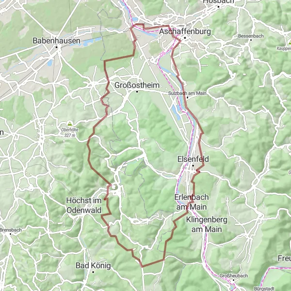
Discover the stunning landscapes and picturesque towns of Unterfranken on this challenging road cycling route.
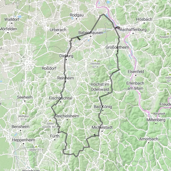
This road cycling route starting near Mainaschaff is a true test of endurance and showcases some of the most picturesque landscapes in Unterfranken. With a total ascent of 1,606 meters and a distance of 147 kilometers, this route offers a thrilling adventure for well-trained amateur cyclists. Highlights along the route include the charming town of Bad König, the scenic Hüttenthal valley, the challenging climbs of Hammelbach and Raupenstein, and the historic Schloß Babenhausen. Conclude your journey by retracing your path back to Mainaschaff, mesmerized by the natural beauty and rich cultural heritage explored along the way.
Discover the beauty of Unterfranken on this gravel cycling route from Mainaschaff to Babenhausen.
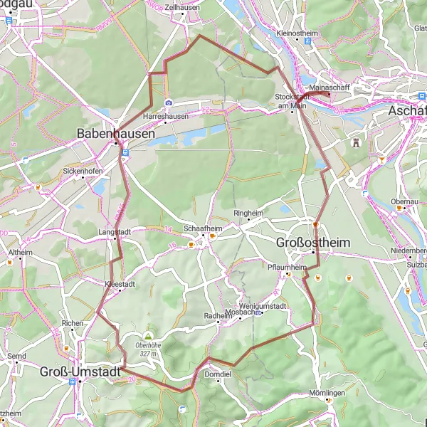
This gravel route showcases the scenic beauty and hidden gems of Unterfranken. Starting in Mainaschaff, you'll follow a 52-kilometer path that passes through diverse landscapes and charming villages. With an ascent of 444 meters, this route offers a moderate challenge suitable for gravel biking enthusiasts. Along the way, you'll encounter Großostheim, a delightful town that is home to a variety of historic buildings and charming streets. One of the highlights of this route is the Frankfurter Blick, offering breathtaking views over the Frankfurt skyline in the distance. As you continue pedaling, you'll reach Raibach, a tranquil village known for its picturesque surroundings and idyllic, old-world charm. Another notable highlight is Langstadt, where you can take in the beauty of the quaint village and its traditional half-timbered houses. The route wraps up in Babenhausen, a town famous for its well-preserved medieval fortifications and charming town square. Conclude this gravel adventure in Mainaschaff, having experienced the captivating landscapes and hidden treasures of Unterfranken.
Cycling routes nearby:


Nearby regions: