Cycling Serenity in Unterfranken
Cycling routes from Goldbach
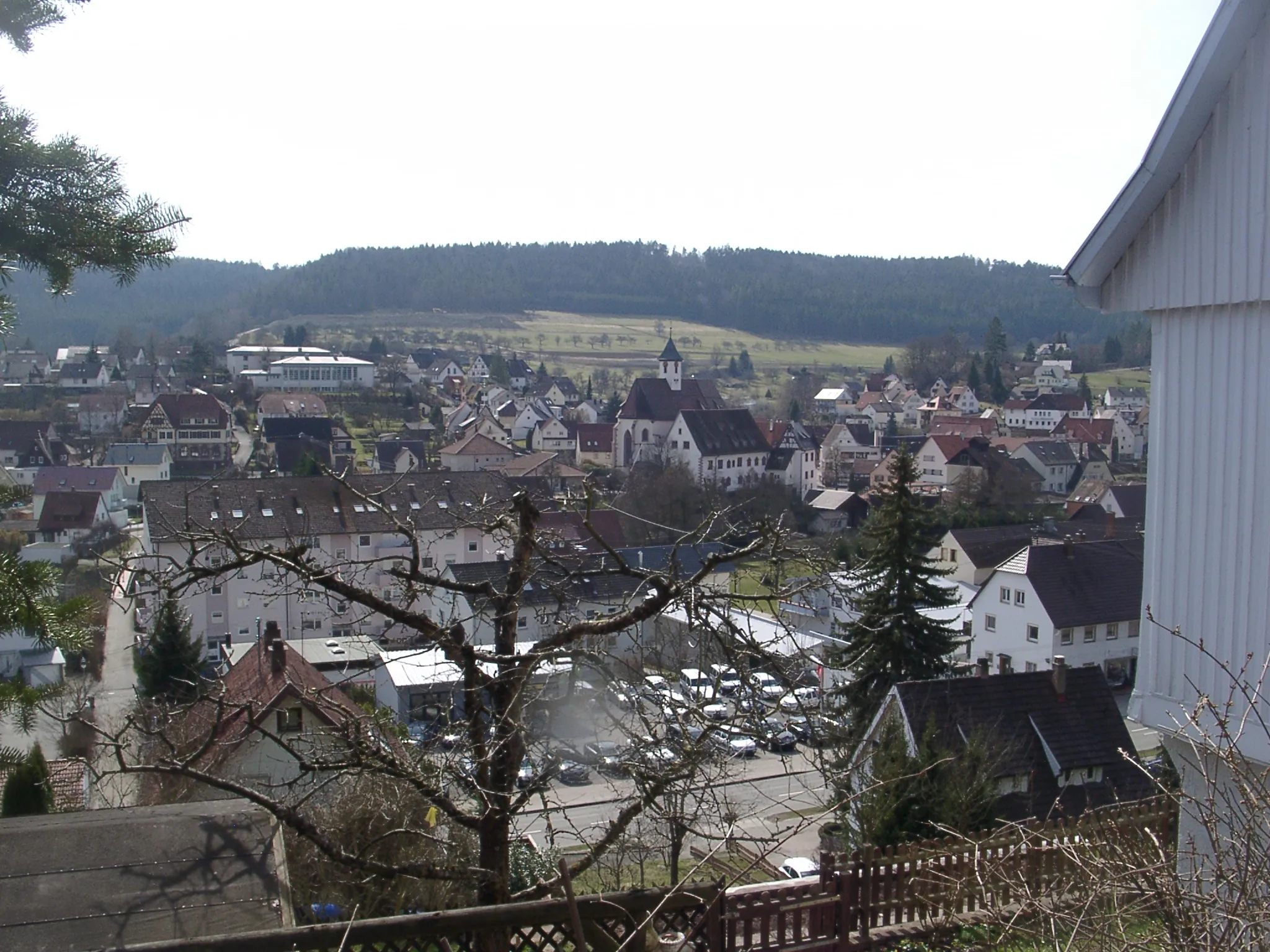
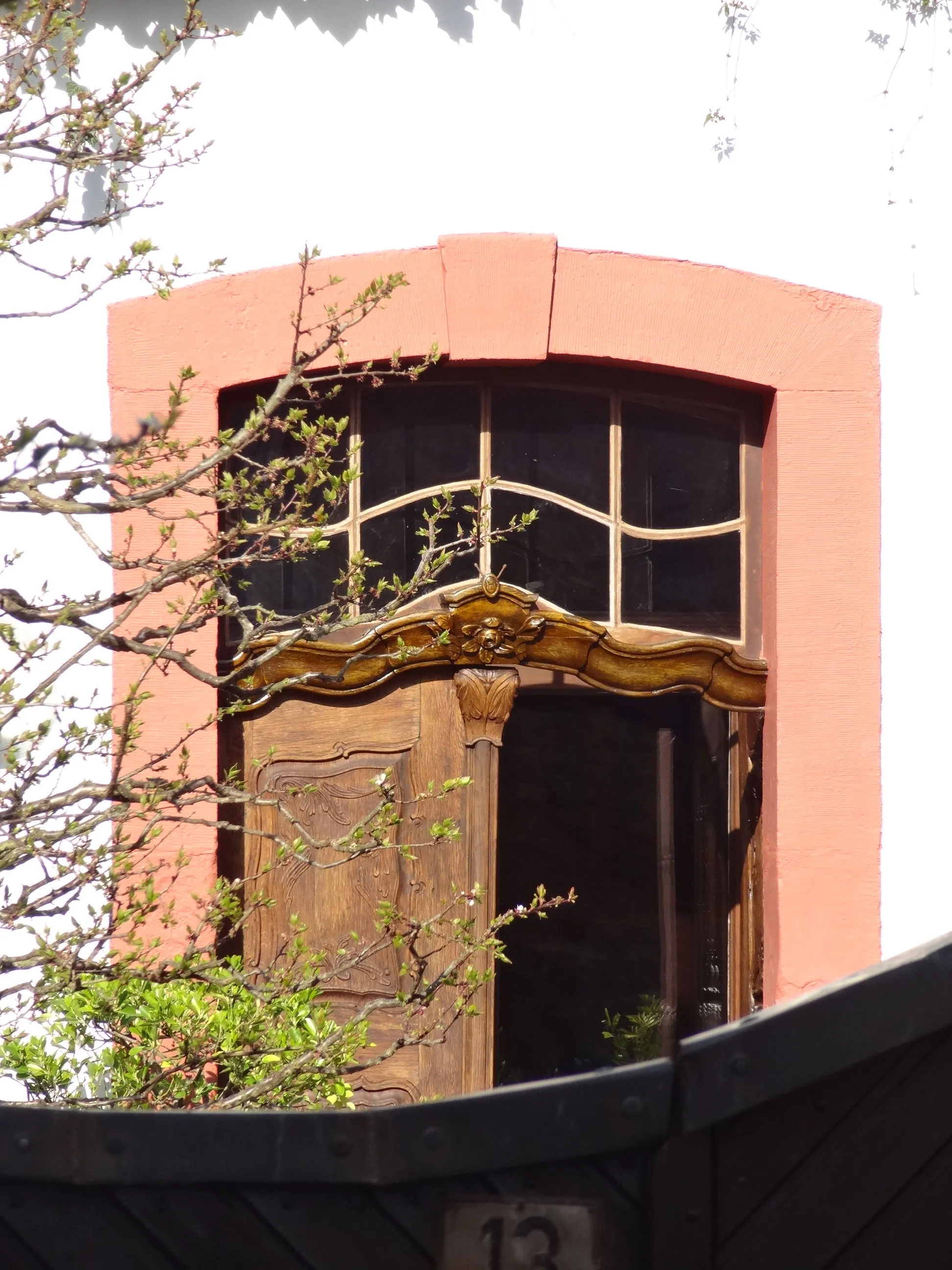
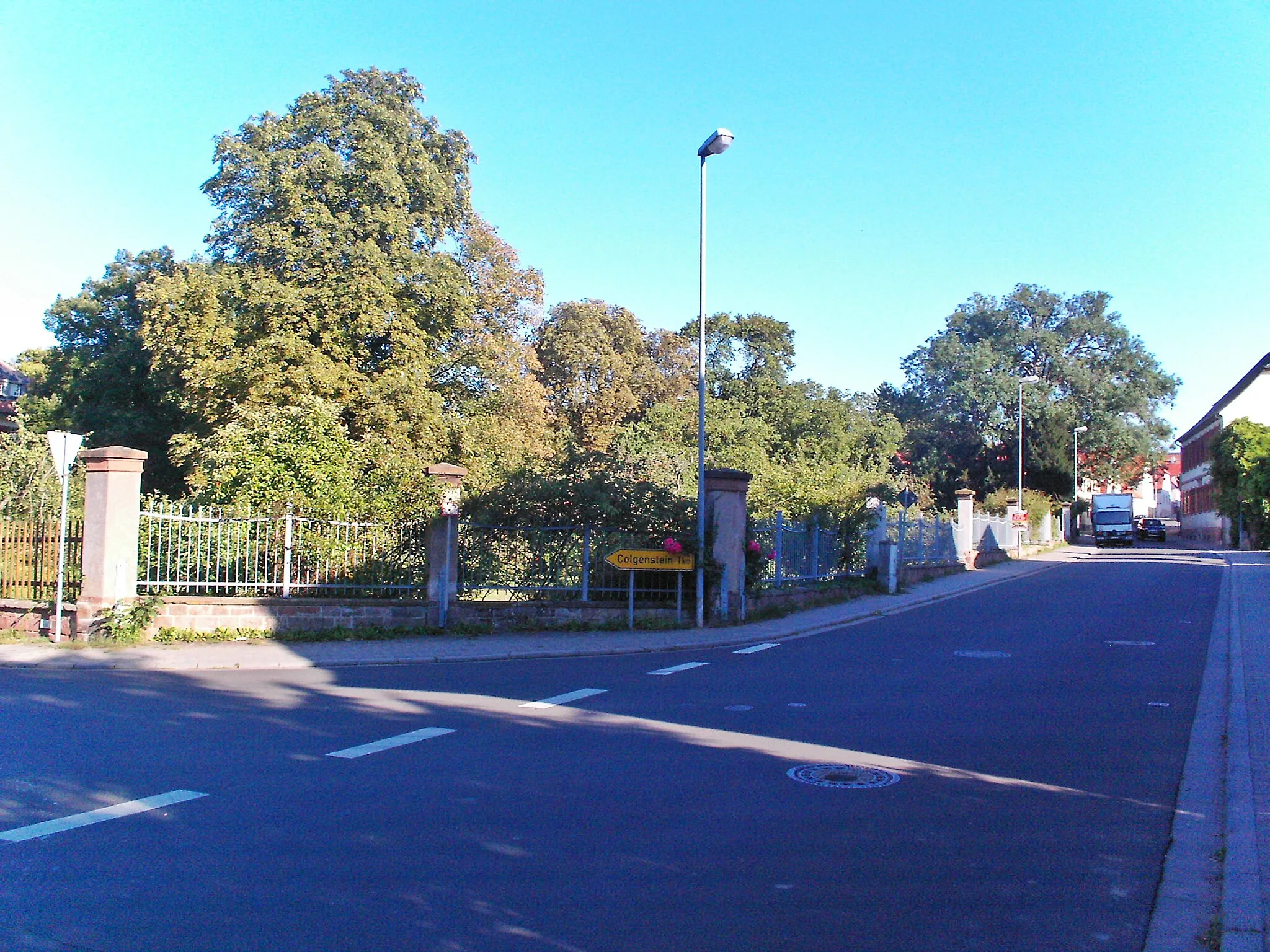
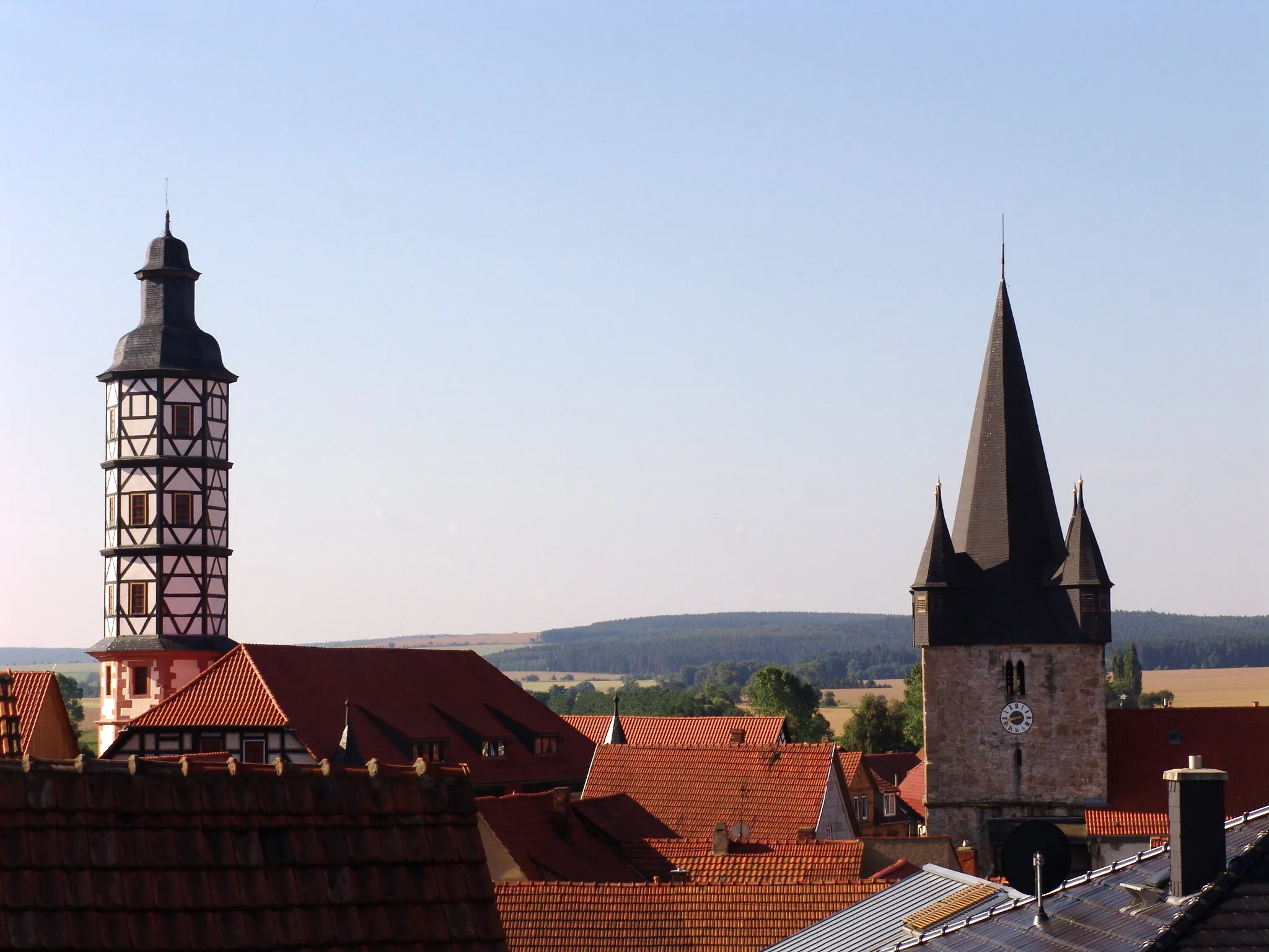
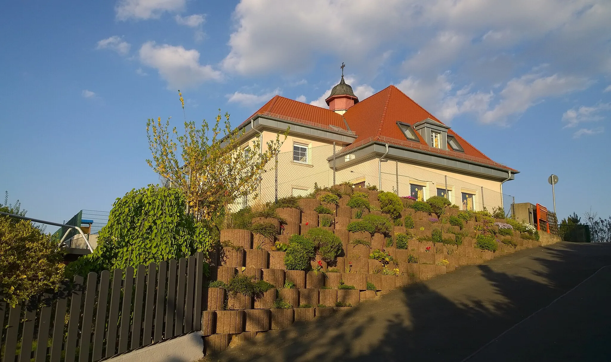
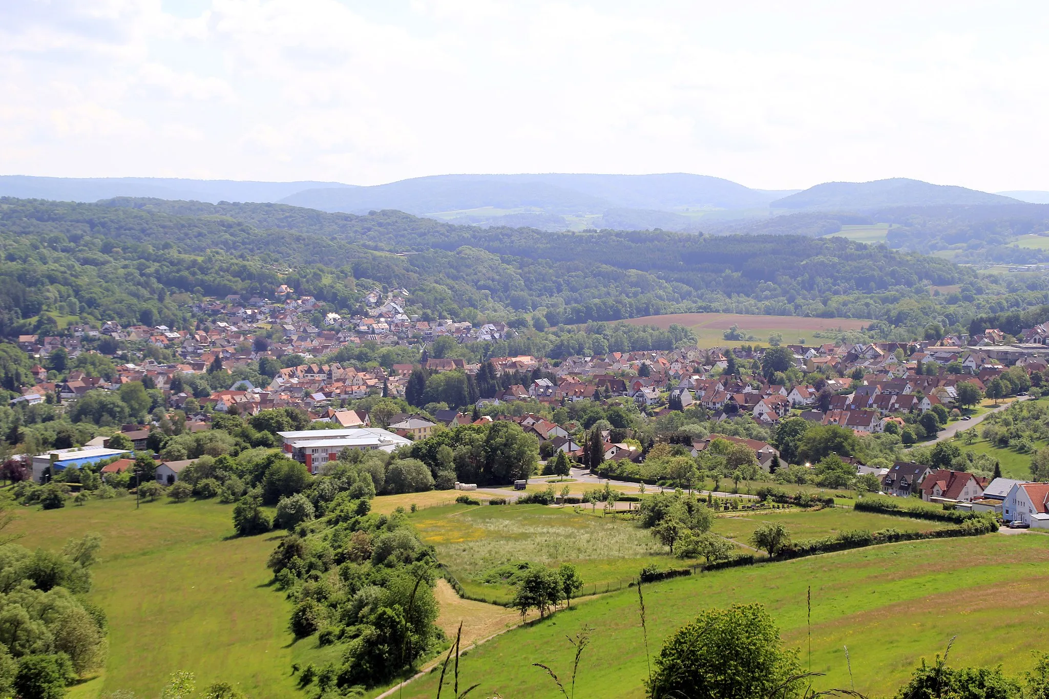
Goldbach is a charming locality located in the Unterfranken region of Germany. From a cyclist's perspective, Goldbach offers a mix of flat and hilly terrain, providing a variety of cycling routes to choose from. The locality is surrounded by beautiful landscapes, including vineyards and orchards, making it a visually appealing area for cycling. Hautanlage is a well-known climb nearby, offering a challenging ascent for stronger riders. Overall, Goldbach is a good cycling-friendly area with pleasant scenery and enjoyable routes.
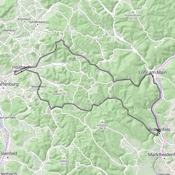
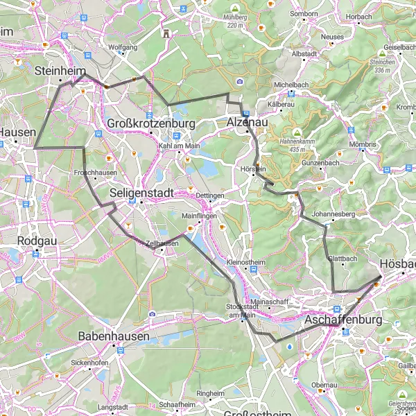
Embark on a journey through Unterfranken's hilltops and stunning landscapes.
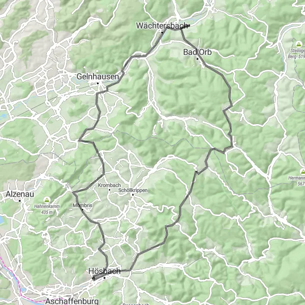
This route takes cyclists on a journey through the enchanting hilltops and landscapes of Unterfranken. With a moderate difficulty level, it is recommended for experienced cyclists. The route covers a distance of 101 kilometers, with a total ascent of 1330 meters.
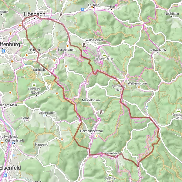
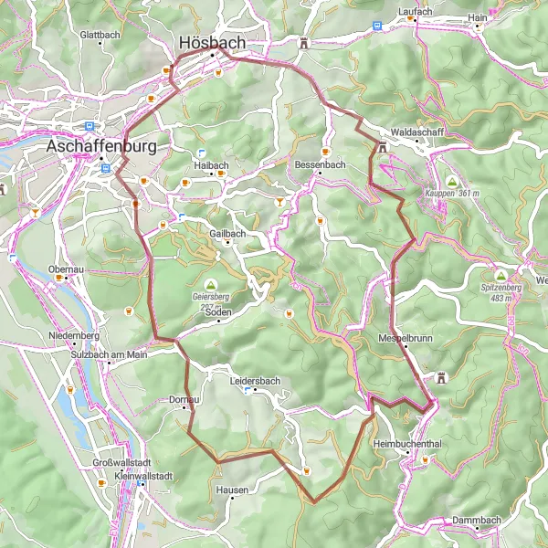
An adventurous gravel ride through the Hösbach region
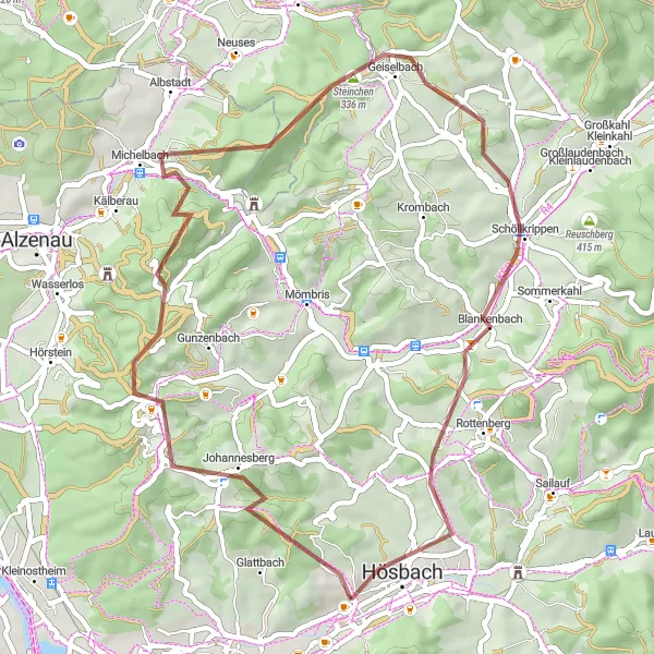
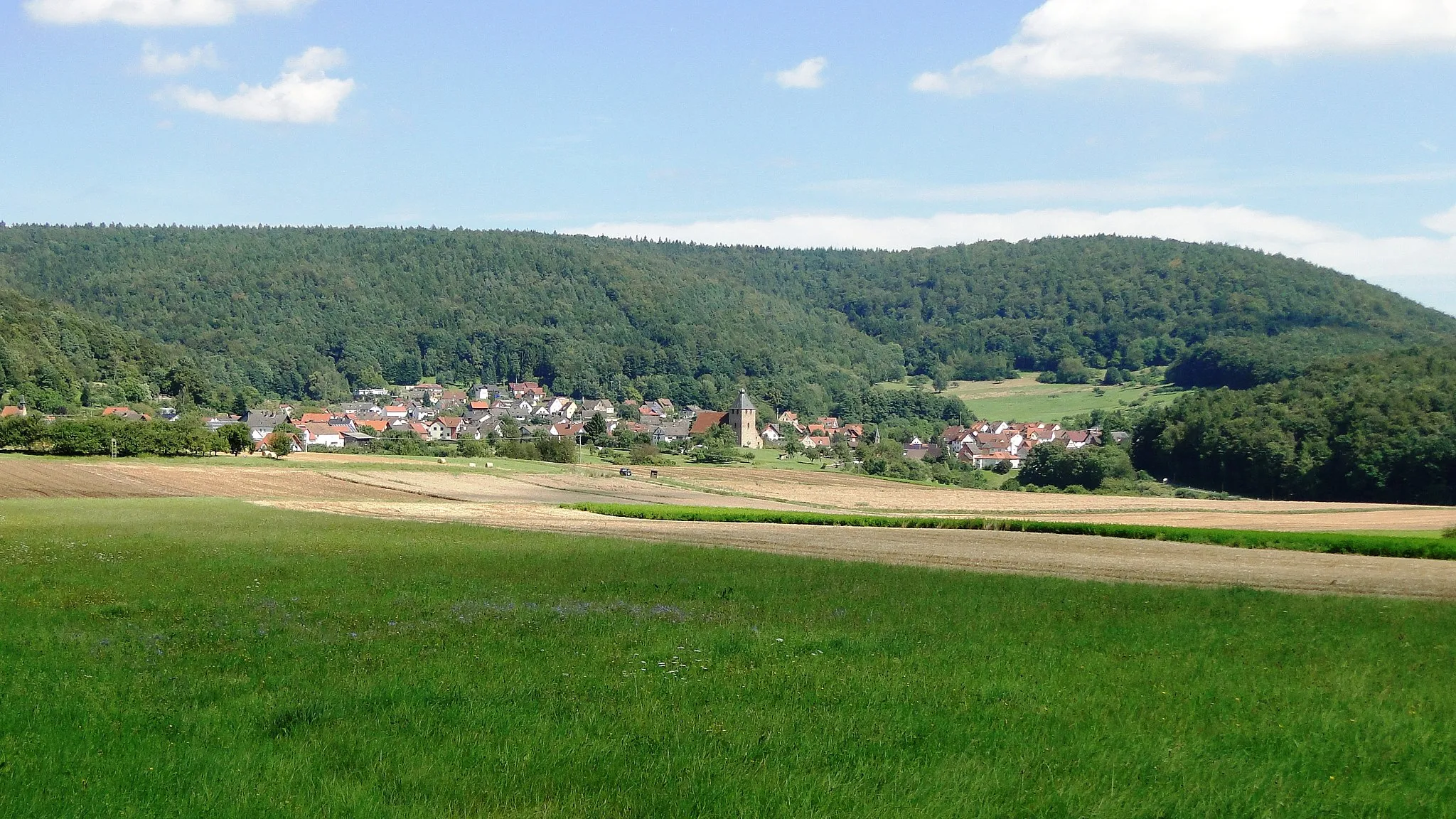
The Hösbach Exploration is an adventurous gravel route that takes you through the scenic landscapes of Hösbach. With a distance of 61 kilometers and an ascent of 1025 meters, this ride is suitable for experienced gravel riders. The highlights along the way include Hösbach, Klinger, Burgstall Wahlmich, Steinberg, Rohrbrunn, Schwarzkopf, Volkersbrunn, Große Solhöhe, Grünmorsbach, and Mittelberg. Each of these highlights offers unique features, from historical sites to stunning natural scenery.
Schanzenkopf Adventure
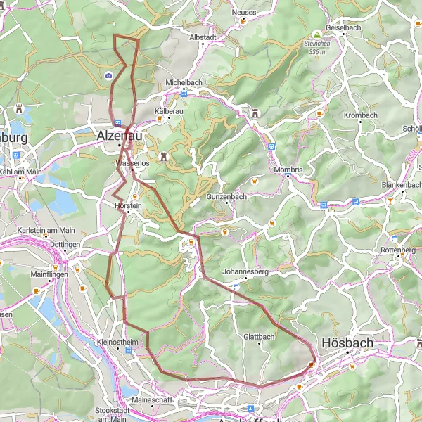
A thrilling gravel ride to Schanzenkopf and beyond
The Schanzenkopf Adventure is a thrilling gravel route that takes you to the summit of Schanzenkopf and showcases the natural beauty of the surrounding area. With a distance of 46 kilometers and an ascent of 718 meters, this ride is suitable for intermediate gravel riders. The highlights along the way include Johannesberg, Schanzenkopf, Altenmarkskopf, Alzenau, and the Quercus petraea. Each of these highlights offers unique features, from challenging climbs to stunning viewpoints.
Explore the scenic landscapes of Unterfranken on this panoramic cycling route.
This route takes cyclists through the stunning landscapes of Unterfranken, offering panoramic views of the region. With a moderate difficulty level, it is suitable for well-trained amateurs. The route covers a distance of 94 kilometers, with a total ascent of 571 meters.
Enjoy a scenic riverside serenade along the Main River in Unterfranken.
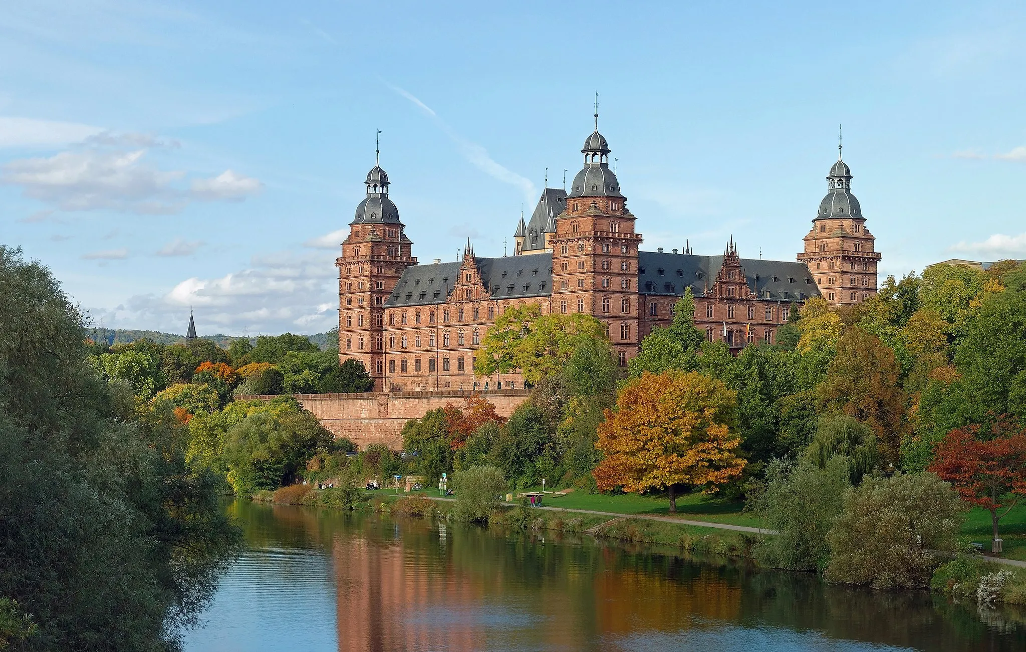
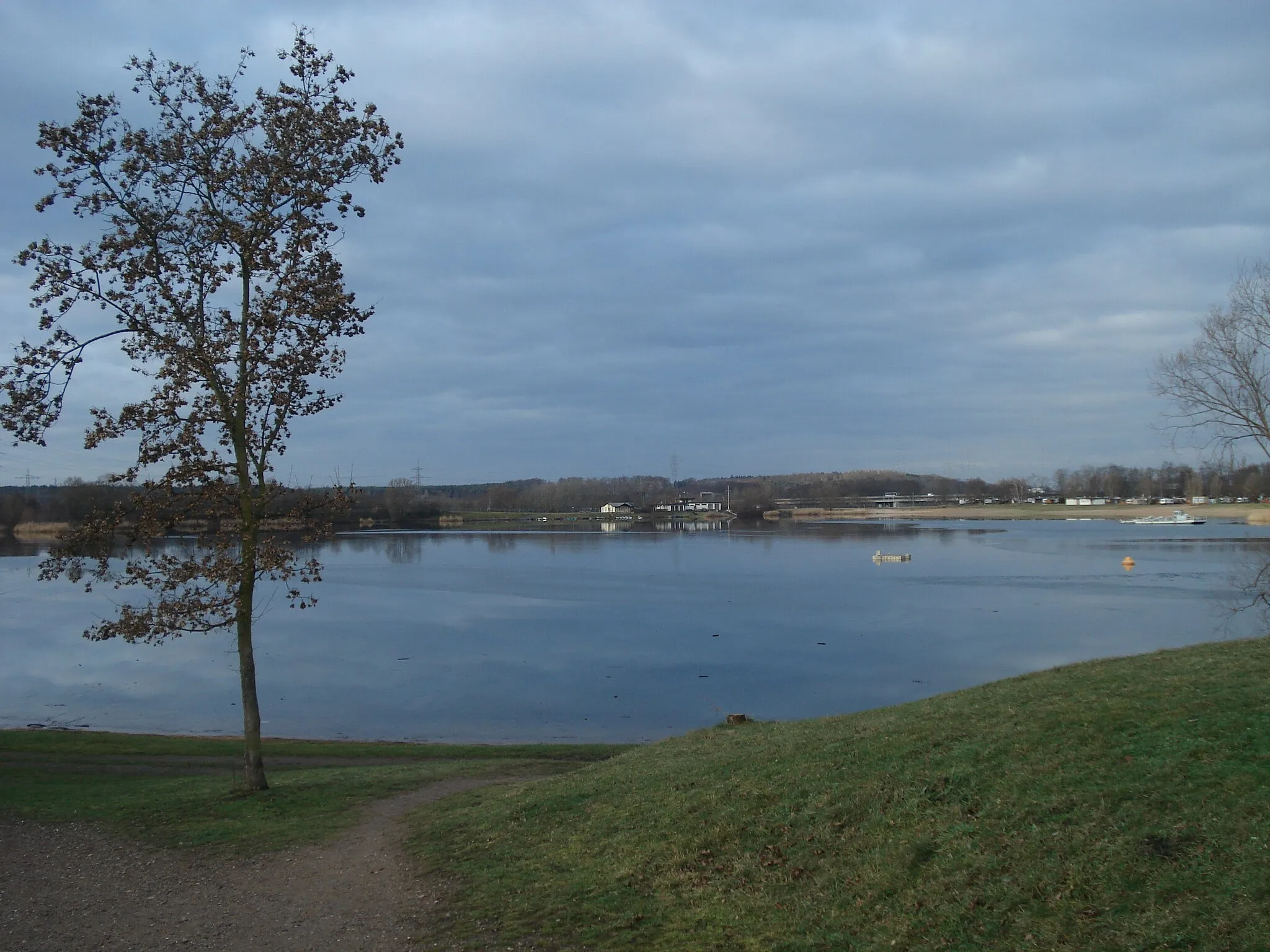
This route offers a delightful riverside cycling experience along the picturesque Main River in Unterfranken. With a moderate difficulty level, it is suitable for recreational cyclists. The route covers a distance of 72 kilometers, with a total ascent of 497 meters.
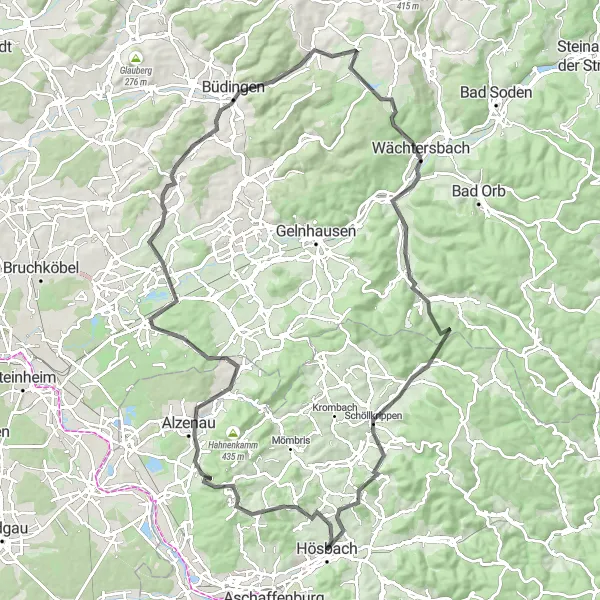
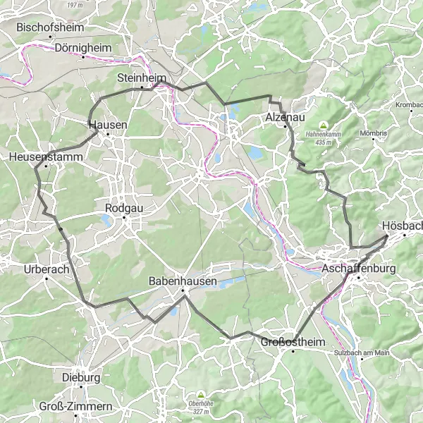
A challenging road ride exploring the historic town of Johannesberg
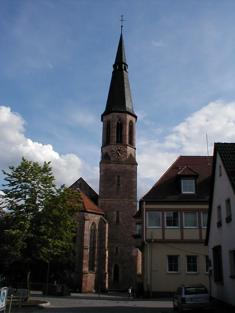
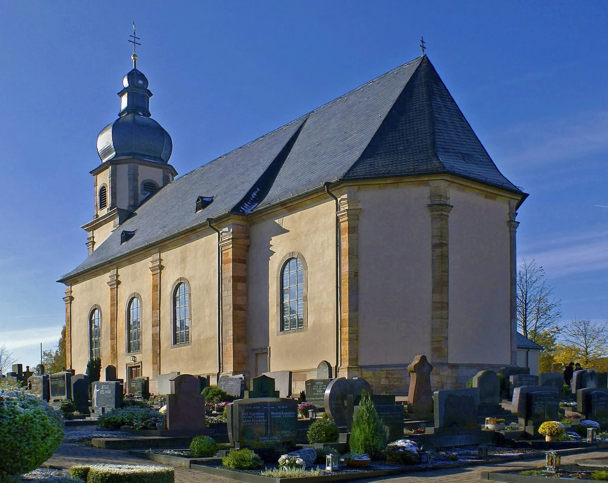
The Historic Route to Johannesberg is a challenging road ride that takes you through the picturesque landscapes surrounding the historic town of Johannesberg. With a total distance of 112 kilometers and an ascent of 1538 meters, this route is recommended for experienced road cyclists. The highlights along the way include Johannesberg, Haag, Alzenau, Buchbergturm, Büdingen, Wilder Stein, Köhlersberg, Wächtersbach, Erkberg, Kleinkahl, Gräfenberg, and Hösbach. Each of these highlights offers historical landmarks, beautiful viewpoints, and cultural attractions.
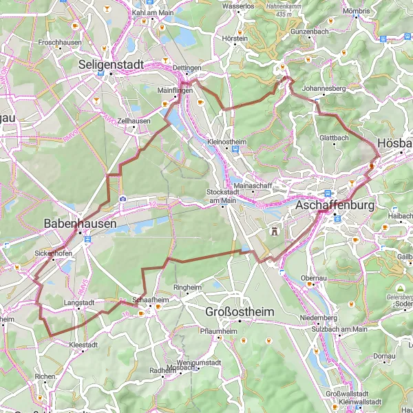
Uncover the hidden gems of Goldbach on this exciting gravel adventure
Embark on a thrilling gravel ride starting in Goldbach, Unterfranken, and explore the scenic landscapes and charming villages along the way. With a total distance of 62 kilometers and an elevation gain of 469 meters, this route offers a challenging yet rewarding experience for cyclists of all levels. Get ready to discover picturesque highlights such as Landschaftsfenster, Schaafheim, Hergershausen, Mainwanderweg Raststätte 2000, Königsstein, and Johannesberg. Prepare for an epic cycling adventure filled with stunning views and cultural insights.
Embark on an off-road adventure through the diverse landscapes of Unterfranken.
This off-road gravel route takes cyclists through the diverse landscapes of Unterfranken, offering a thrilling adventure for gravel enthusiasts. With a moderate difficulty level, it is suitable for experienced cyclists. The route covers a distance of 48 kilometers, with a total ascent of 731 meters.
Embark on an adventure and explore the untouched landscapes of Unterfranken.
This route takes cyclists on a thrilling adventure through the untouched landscapes of Unterfranken. With a challenging difficulty level, it is recommended for experienced cyclists. The route covers a distance of 92 kilometers, with a total ascent of 1172 meters.
Goldbach Adventure
A thrilling gravel route exploring the Goldbach region
The Goldbach Adventure is an exciting gravel route that takes you through the scenic Goldbach region. With a total distance of 46 kilometers and an ascent of 1043 meters, this ride is suitable for intermediate gravel riders. The highlights along the way include Goldbach, Stempelhöhe, Heidkopf, Geiselbach, Münchberg, and Hösbach. Each of these highlights offers unique features and showcases the natural beauty of the Goldbach area.
Cycling routes nearby:


Nearby regions: