Tranquil Road Cycling Exploration
Cycling routes from Glattbach
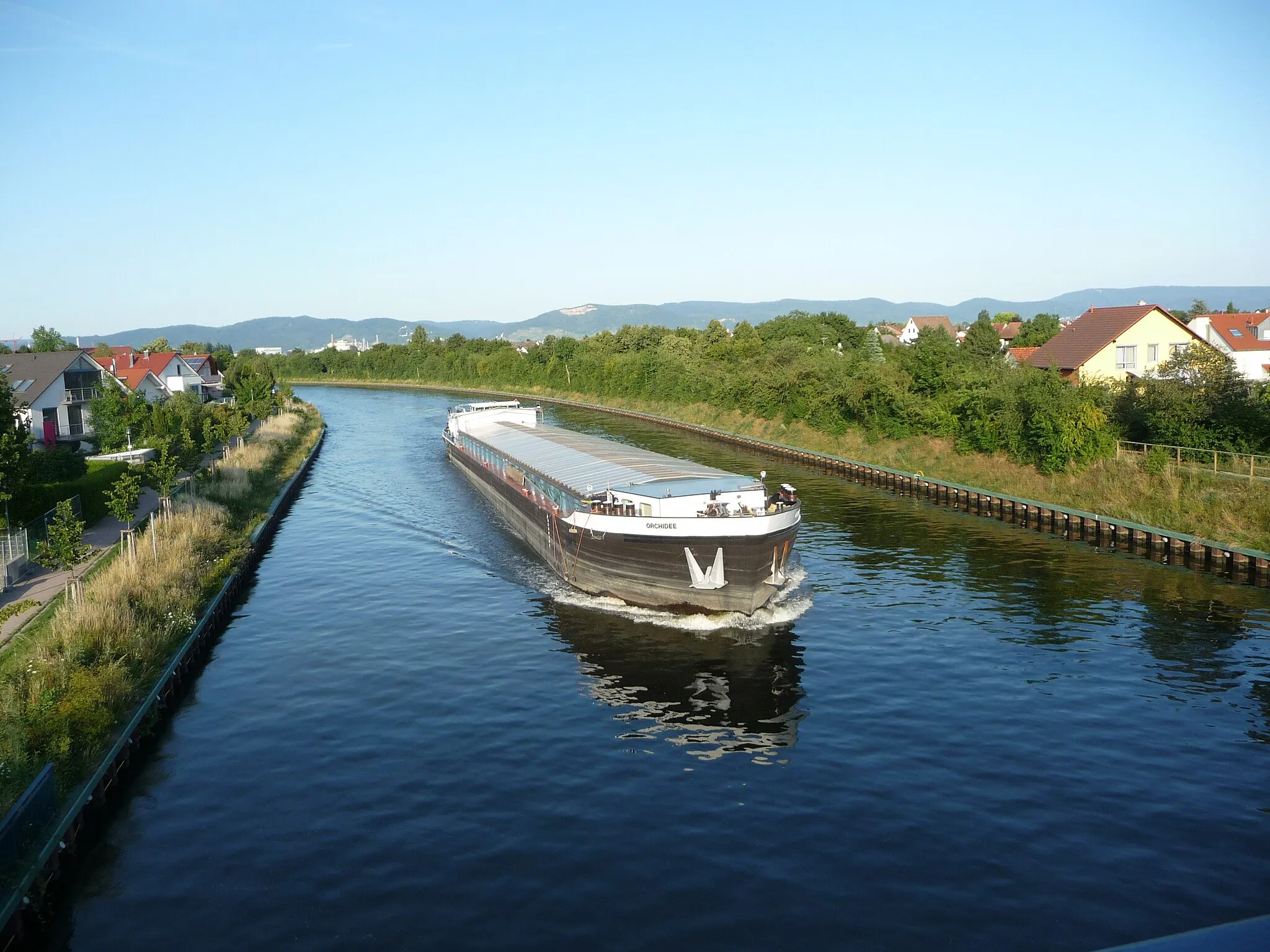
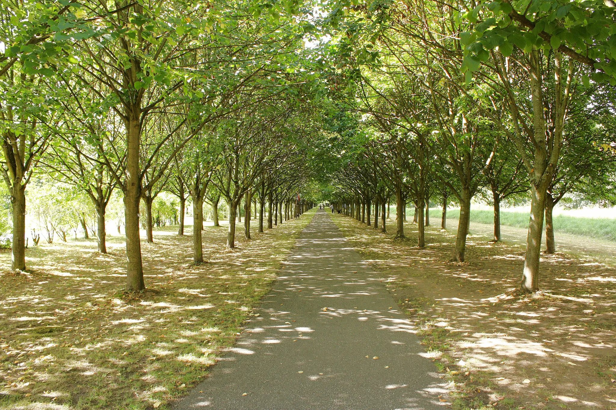
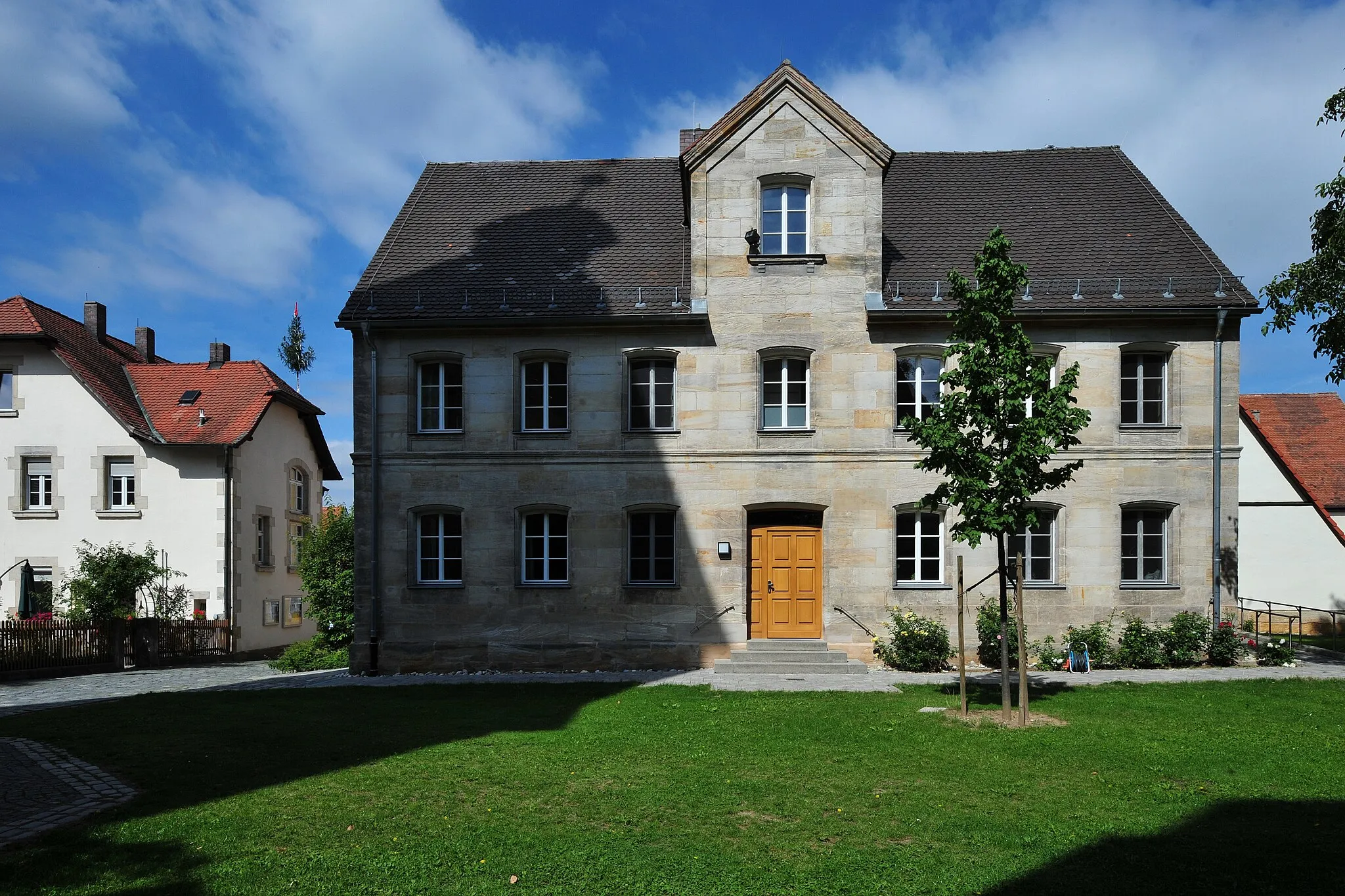
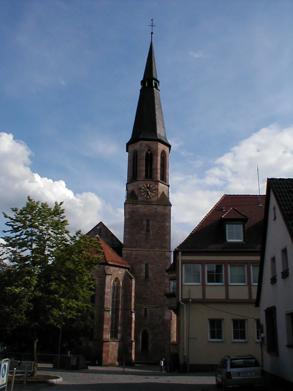
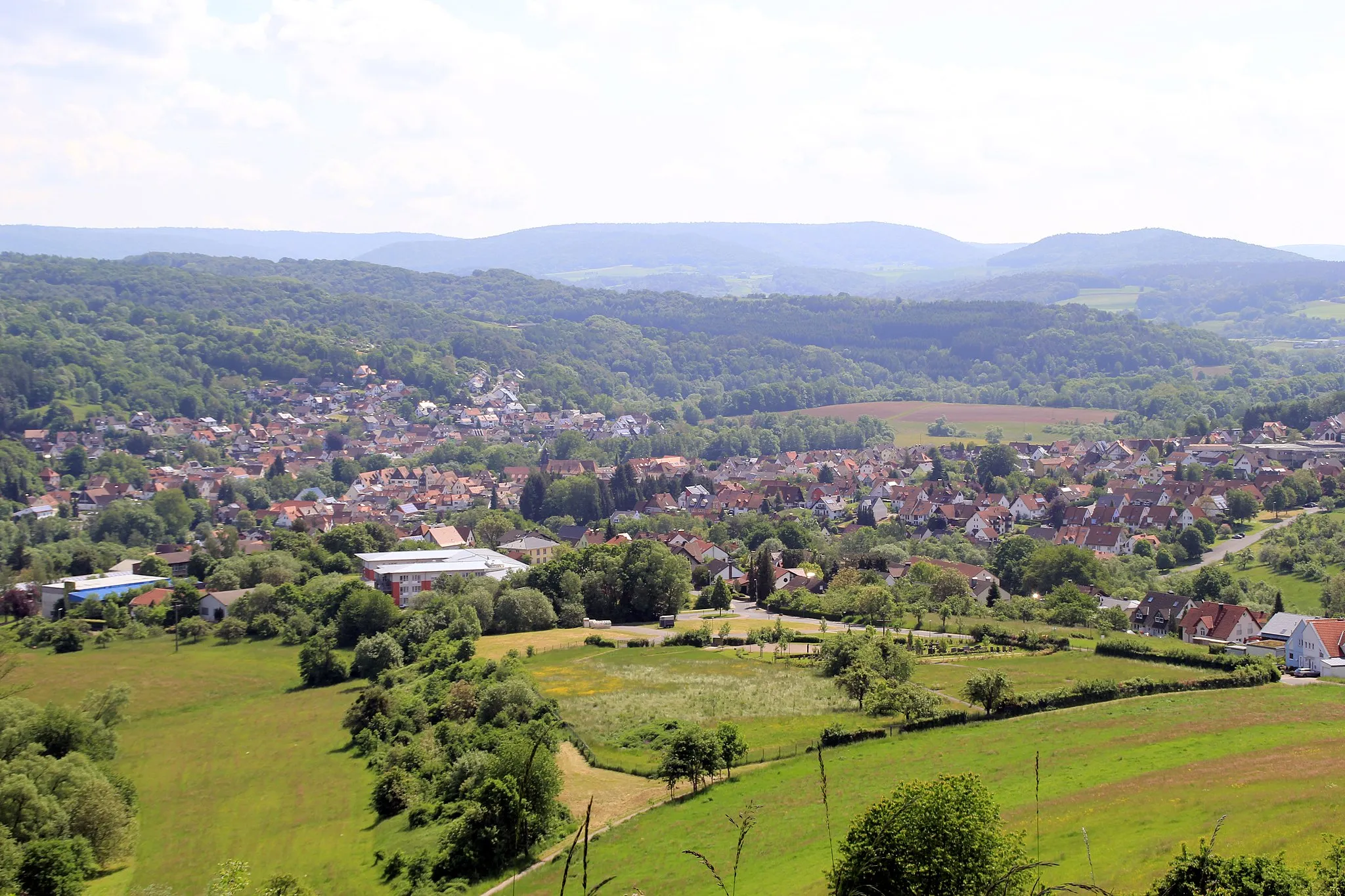
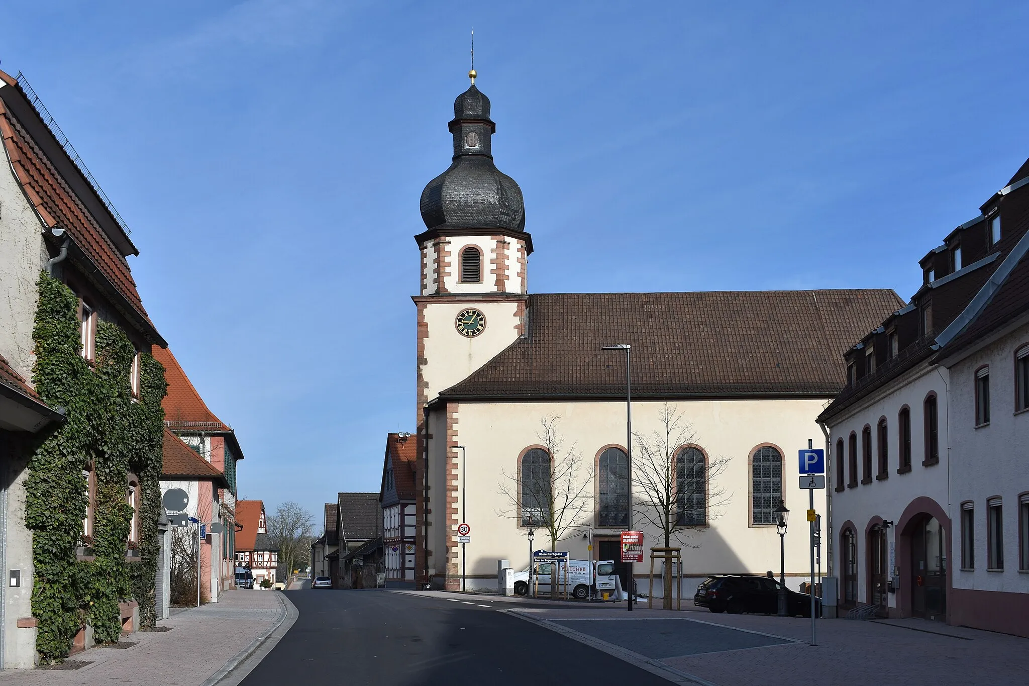
Glattbach is a small locality located in Unterfranken, Germany. As a road cyclist, you will have the opportunity to explore the picturesque landscapes and charming villages surrounding Glattbach. The region offers a mix of flat and rolling terrain, catering to riders of all skill levels. Nearby, you will find the Spessart Mountains, famous for their scenic routes and well-maintained roads. Glattbach itself is a tranquil village, offering a peaceful atmosphere for road cycling enthusiasts.
Wind through forests and countryside on this scenic gravel route
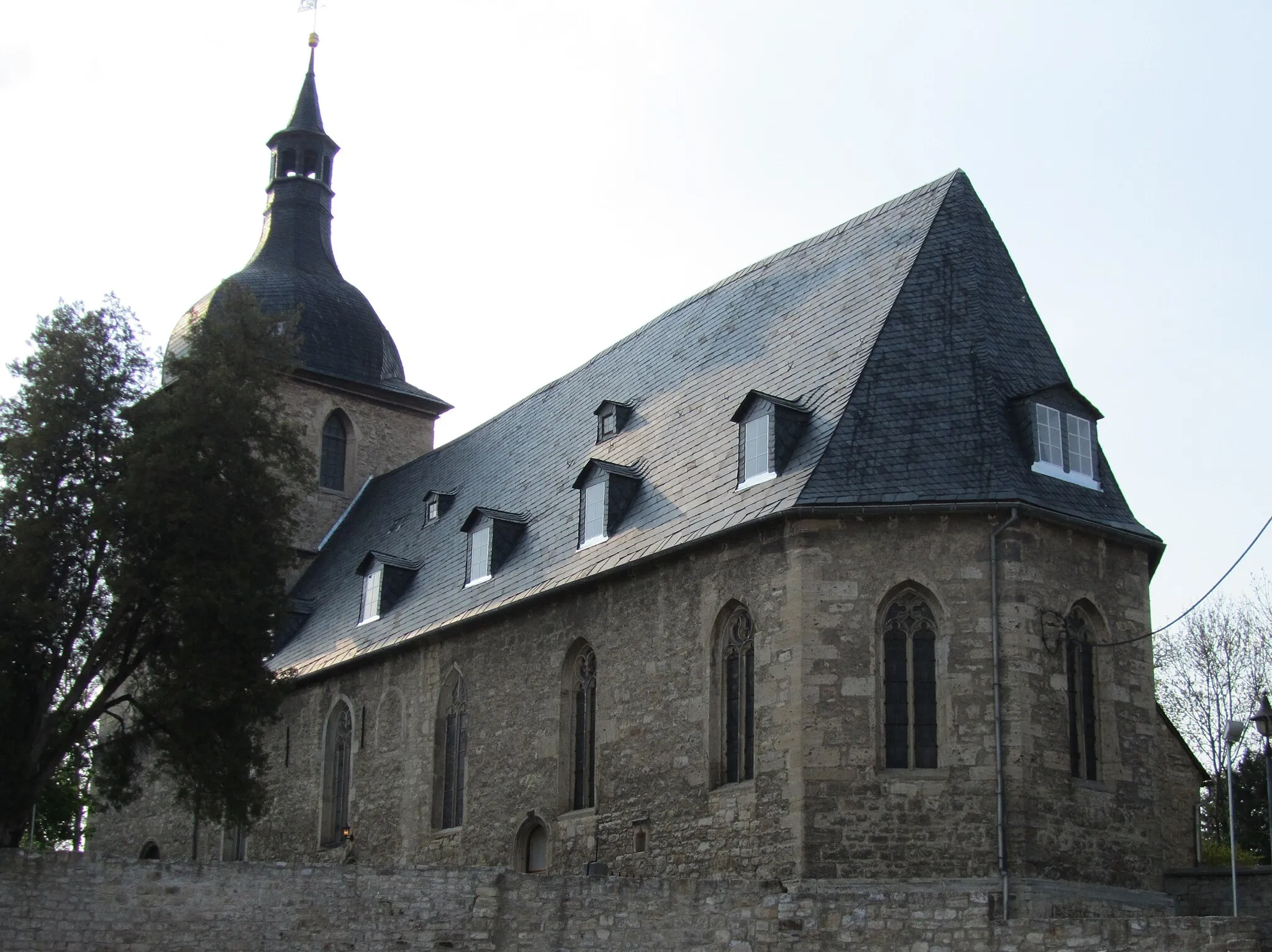
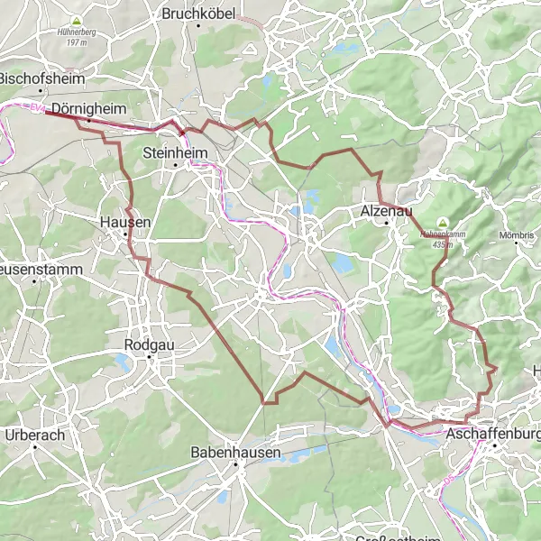
This 83-kilometer gravel cycling route takes you from Glattbach to Johannesberg, passing through picturesque landscapes and charming villages. With 682 meters of ascent, this route offers a challenging but rewarding experience for gravel enthusiasts. The route starts in Glattbach, a small town known for its scenic surroundings. One of the highlights along the way is the Pompejanumfelsen, where you can admire ancient Roman architectural remains. As you continue, you will pass through Weiskirchen with its impressive church and historic buildings. The route takes you further to Hanau, birthplace of the Brothers Grimm, known for its fairy tale heritage. Alzenau is another highlight, featuring a medieval castle and charming old town. The Schanzenkopf offers panoramic views of the surrounding countryside.
Explore scenic landscapes and iconic landmarks on this road cycling route
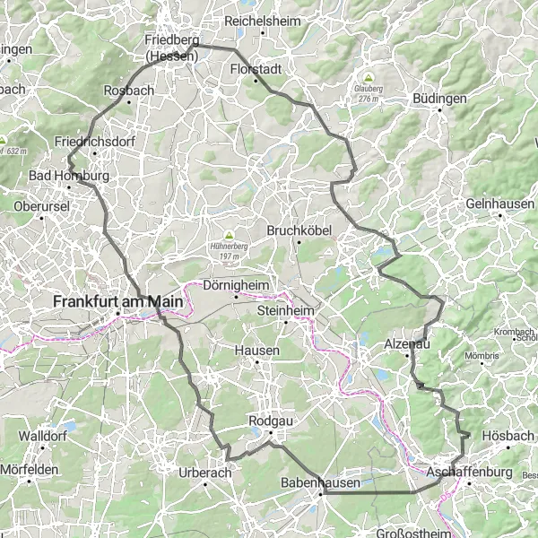
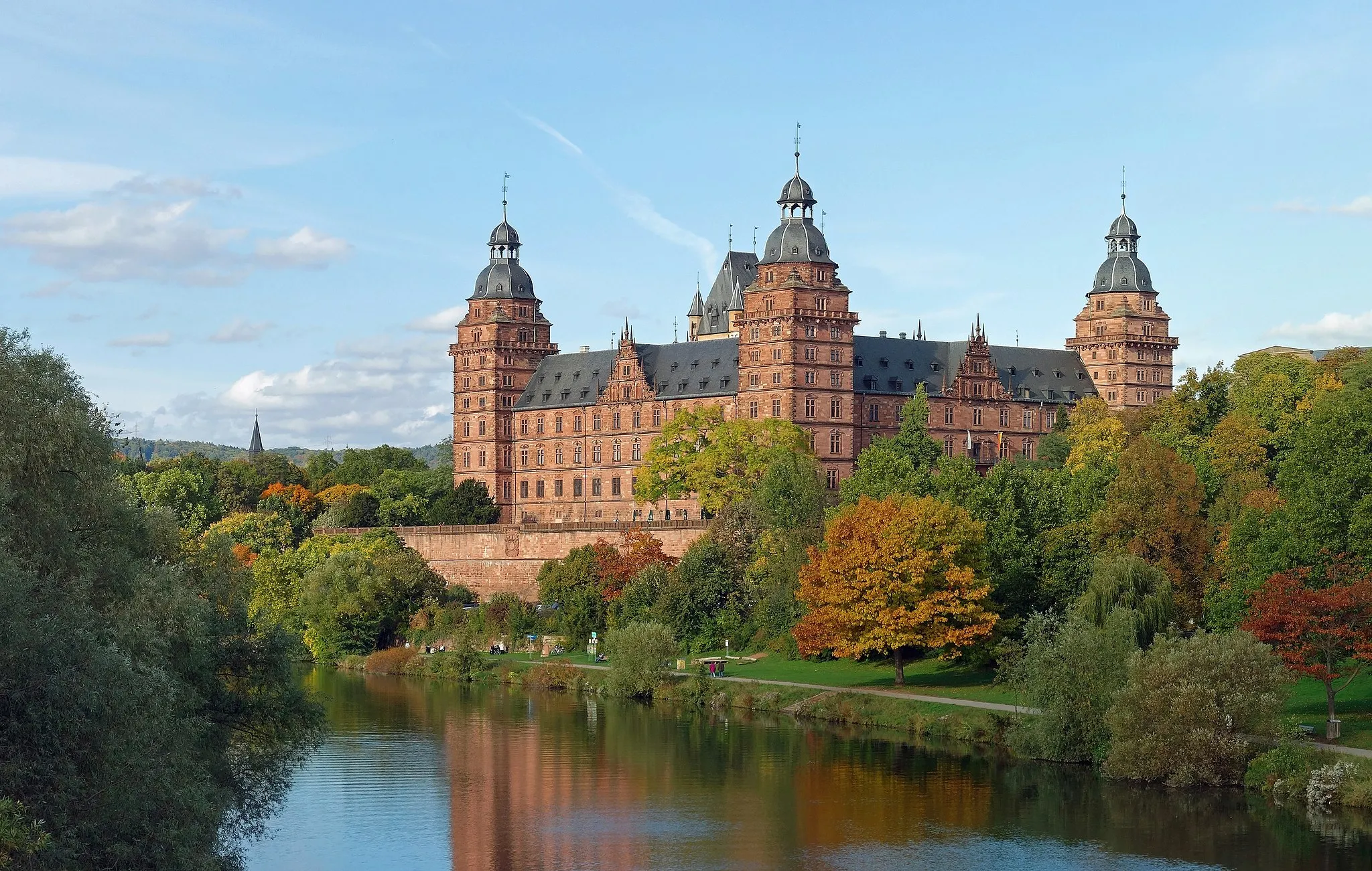
Embark on a 153-kilometer road cycling adventure from Glattbach to Bad Homburg. With 1325 meters of ascent, this route is suitable for experienced cyclists looking for a challenging ride. The journey begins in Glattbach and takes you through diverse landscapes and historic towns. Start by admiring the panoramic views from the Aussichtsturm Schönbusch in the city of Aschaffenburg. Continue your road adventure to Schloß Babenhausen, a majestic castle with a rich history. Pass through Hofgut Patershausen, known for its picturesque countryside and historic estate. The Steinberg provides another scenic viewpoint along the route, offering breathtaking vistas of the surrounding area. Your cycling journey ends in Bad Homburg, where you can visit the enchanting Bad Homburg Palace and its beautiful gardens.
Embark on an epic gravel adventure through the scenic Spessart region
This gravel cycling route near Glattbach takes you through the stunning Spessart forest. With a distance of 91 km and an ascent of 1645 m, this route is challenging and offers a thrilling off-road adventure. Suitable for experienced riders, the route includes highlights like Feldkahl, known for its quaint village center and peaceful countryside. The Flörsbacher Höhe offers panoramic views of the Spessart Mountains, while Frammersbach is a picturesque town with charming half-timbered houses. Wiesthal, nestled in a valley, provides a tranquil rest stop. This route promises an epic gravel adventure for cycling enthusiasts.
From Hösbach to Aschaffenburg, immerse yourself in history and beautiful landscapes
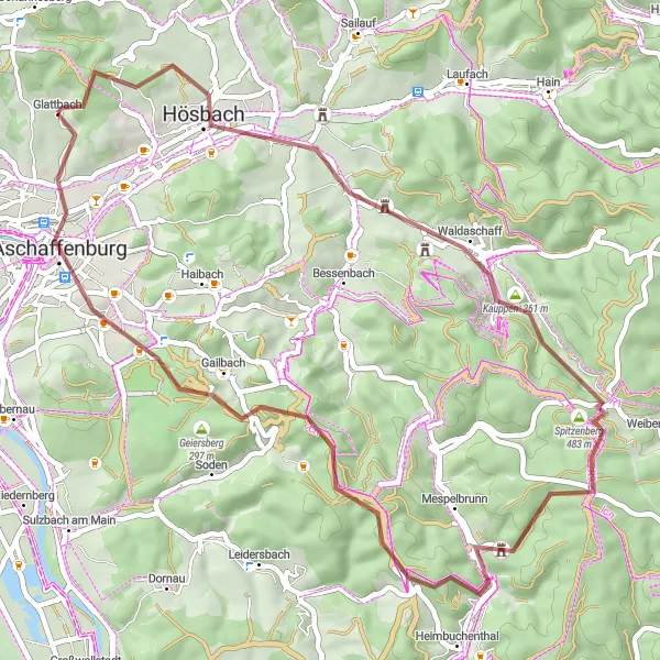
Experience a mix of natural beauty and historical sites on this 50-kilometer gravel cycling route from Hösbach to Schloss Johannisburg. With 930 meters of ascent, this route offers a moderate challenge for gravel enthusiasts. The route starts in Hösbach and takes you through picturesque countryside and charming villages. One of the highlights along the way is the Kauppen, a hill with stunning views of the surrounding landscape. Schloss Mespelbrunn, a medieval castle located in a picturesque valley, is another must-visit highlight. As you continue, you will reach the Große Solhöhe, where you can enjoy panoramic views of the region. The route ends at Schloss Johannisburg, a magnificent Renaissance palace in Aschaffenburg.
Conquer steep hills and explore historic towns on this challenging road cycling route
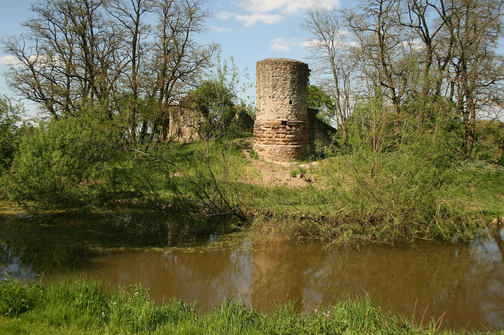
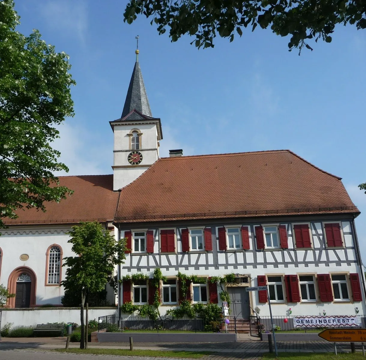
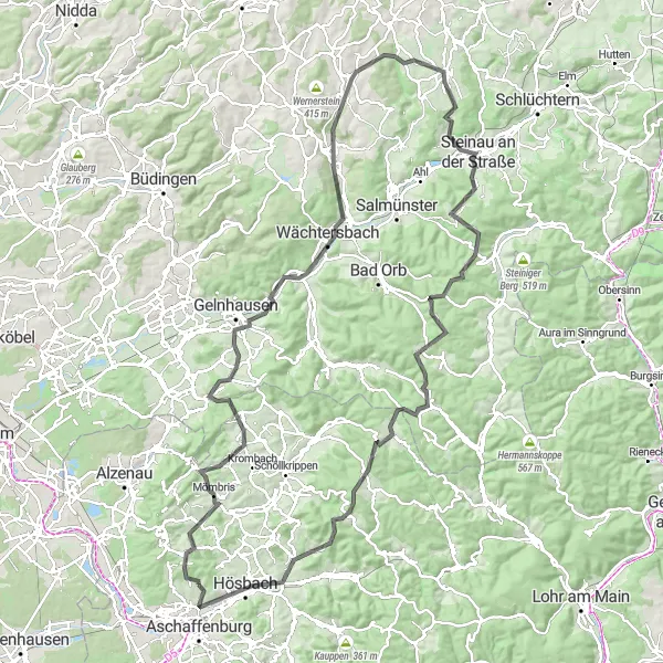
This road cycling route near Glattbach offers a challenging ride with steep hills and historical towns along the way. Covering a distance of 133 km with an ascent of 1799 m, this route is suitable for well-trained amateurs looking for a demanding ride. Highlights of this route include the historic town of Glasberg, known for its impressive castle ruins and breathtaking views. Mömbris is another notable stop with its charming streets and idyllic countryside. The scenic town of Wächtersbach offers a mix of history and natural beauty, while Birstein impresses with its magnificent palace. Schwadelsberg provides stunning panoramic views and the town of Steinau an der Straße boasts charming half-timbered houses.
The Hills of Glattbach
Experience the rolling hills and beautiful landscapes near Glattbach
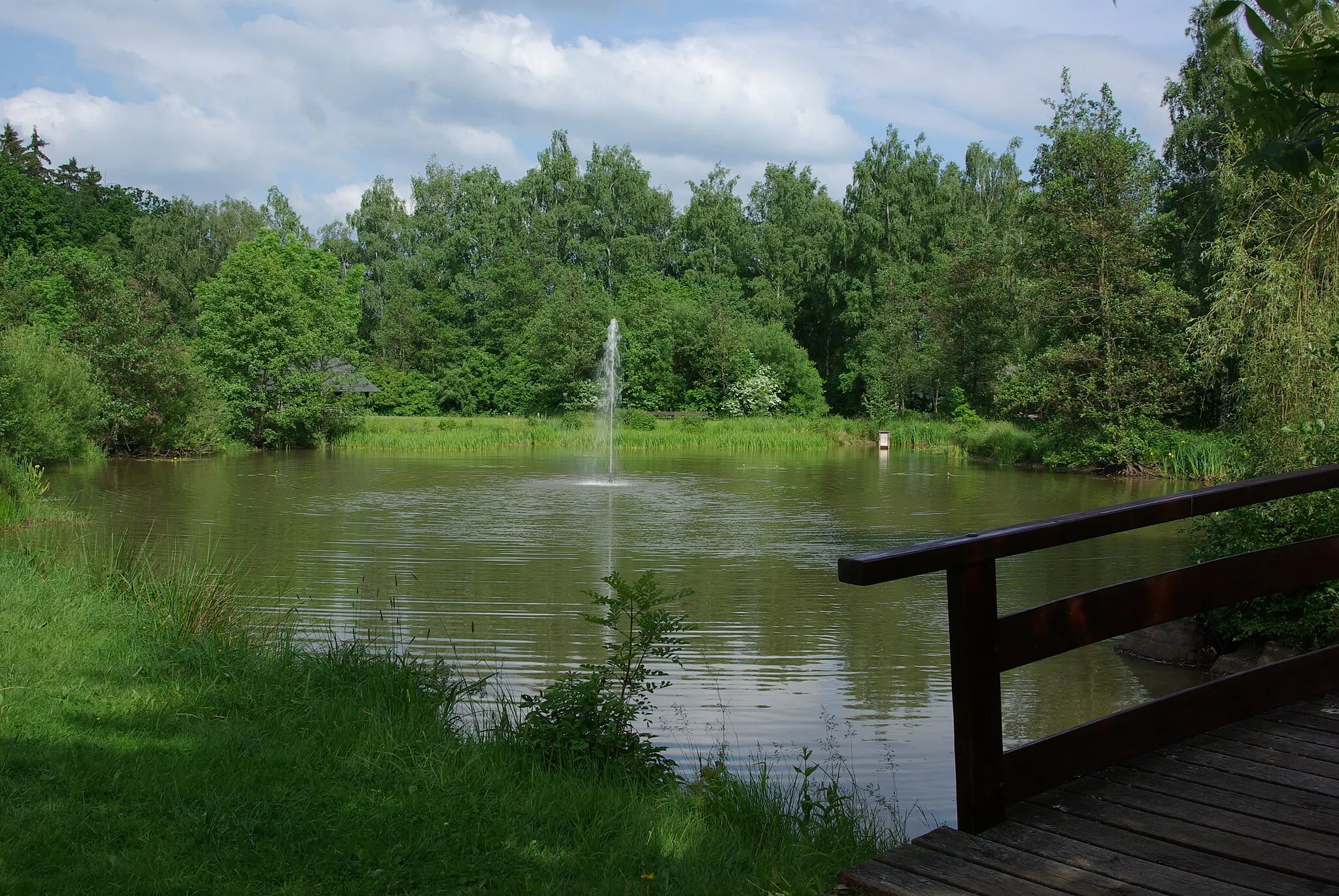
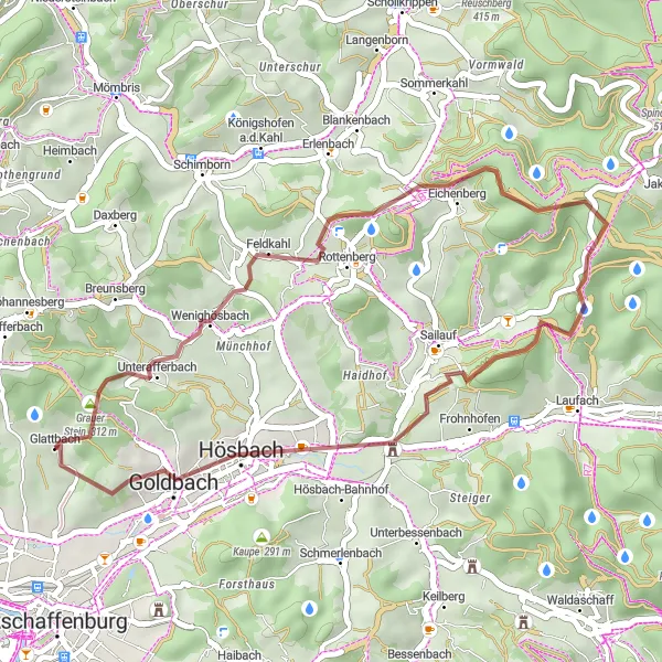
The round-trip cycling route starting near Glattbach takes you through picturesque landscapes and provides a challenging ride. With a total ascent of 739 meters over a distance of 32 kilometers, this route is suitable for well-trained amateur cyclists. The gravel terrain adds an extra level of excitement to the ride. Explore highlights along the route, such as Wenighösbach, which offers stunning panoramic views and a peaceful atmosphere. Leitersberg is another highlight that provides a refreshing break with its lush greenery and charming village setting. Sailauf is known for its historical architecture and traditional Bavarian charm. The difficulty of this route is rated as a 4 out of 5, making it challenging yet achievable for experienced cyclists. The epicness rating is a 3 out of 5, indicating an exciting ride through beautiful countryside. Highlights along the route include Wenighösbach, which scores a 5 out of 5. It is a must-visit spot with its breathtaking views and serene surroundings. Leitersberg scores a 4 out of 5 due to its tranquil atmosphere and natural beauty. Sailauf receives a score of 3 out of 5 for its historical significance and architectural charm. The highlight at Klinger receives a 2 out of 5 due to its scenic location and pleasant surroundings. Overall, this round-trip cycling route near Glattbach offers a challenging and rewarding experience with beautiful landscapes and interesting highlights along the way.
Experience the beauty of the Bavarian countryside on this road cycling route
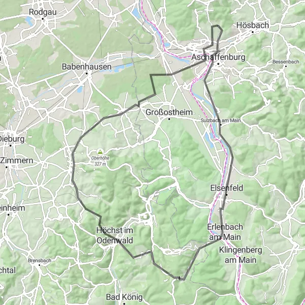
This road cycling route near Glattbach covers a distance of 82 km with a 803 m ascent. The scenic route takes you through picturesque villages like Aschaffenburg, Bischberg, and Burzelberg. The difficulty level is manageable for well-trained amateurs. The highlights of this route include Aschaffenburg, a historic city on the Main River with impressive architecture and a lively atmosphere. The village of Wörth am Main is known for its picturesque setting and charming old town. Hochst im Odenwald impresses with its stunning hilltop location and panoramic views. The route offers a great mix of cultural, historical, and natural highlights.
Schönbusch Tower Gravel Loop
Ride through beautiful landscapes and visit the iconic Schönbusch Tower
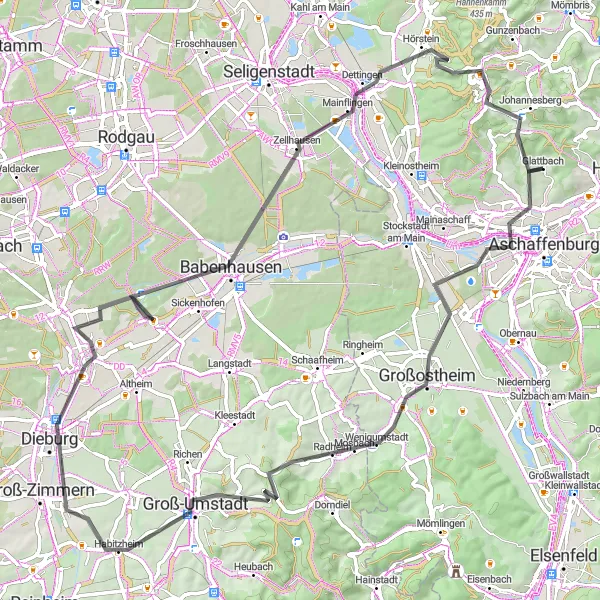
This road cycling route starts near Glattbach and takes you through scenic villages, including Pflaumheim, Raibach, and Herrnberg. The route covers a distance of 84 km with a 765 m ascent. The difficulty level is moderate, suitable for well-trained amateurs. It offers a great mix of challenging sections and enjoyable countryside scenery. The highlights of this route include the Aussichtsturm Schönbusch, where you can enjoy panoramic views, and the quaint town of Johannesberg, known for its charm and historical buildings.
Embark on a challenging gravel adventure through the rugged landscapes of the Spessart
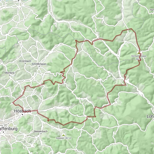
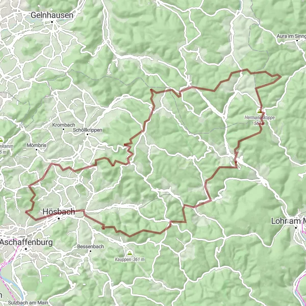
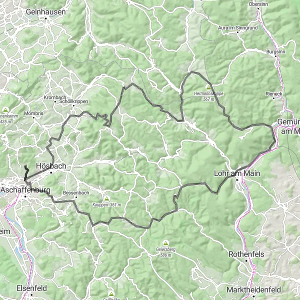
This gravel cycling route near Glattbach takes you on a challenging adventure through the rugged landscapes of the Spessart region. The route covers a distance of 104 km with an ascent of 2115 m. Designed for experienced gravel riders, this route offers a thrilling off-road experience. Highlights of this route include Eichenberg, known for its stunning views and challenging terrain. The Spindelberg offers panoramic vistas of the Spessart forest, while Hermannskoppe awaits with an exhilarating climb. The route also includes the picturesque towns of Wiesthal and Goldbach, offering relaxing rest stops amidst beautiful natural surroundings.
From Klinger to Godelsberg, discover hidden gems and stunning landscapes
Take on the challenge of this 129-kilometer road cycling route from Klinger to Godelsberg. With 1969 meters of ascent, this route is suitable for experienced cyclists seeking a demanding ride through beautiful landscapes and historical towns. Start your journey in Klinger, surrounded by idyllic countryside. As you pedal through Hösbach, admire the scenic beauty and charming architecture. The route takes you through Blankenbach, known for its historic buildings and captivating atmosphere. Spindelberg offers impressive views of the surrounding area, followed by Sauberg and its tranquil landscapes. Frammersbach boasts a rich history and beautiful surroundings worth exploring. Make sure to visit Lohrhaupten and its panoramic viewpoints before reaching Hermannskoppe, offering breathtaking landscapes. Your cycling adventure ends in Godelsberg, where you can find peace and serenity in its natural surroundings.
Cycling routes nearby:

Nearby regions: