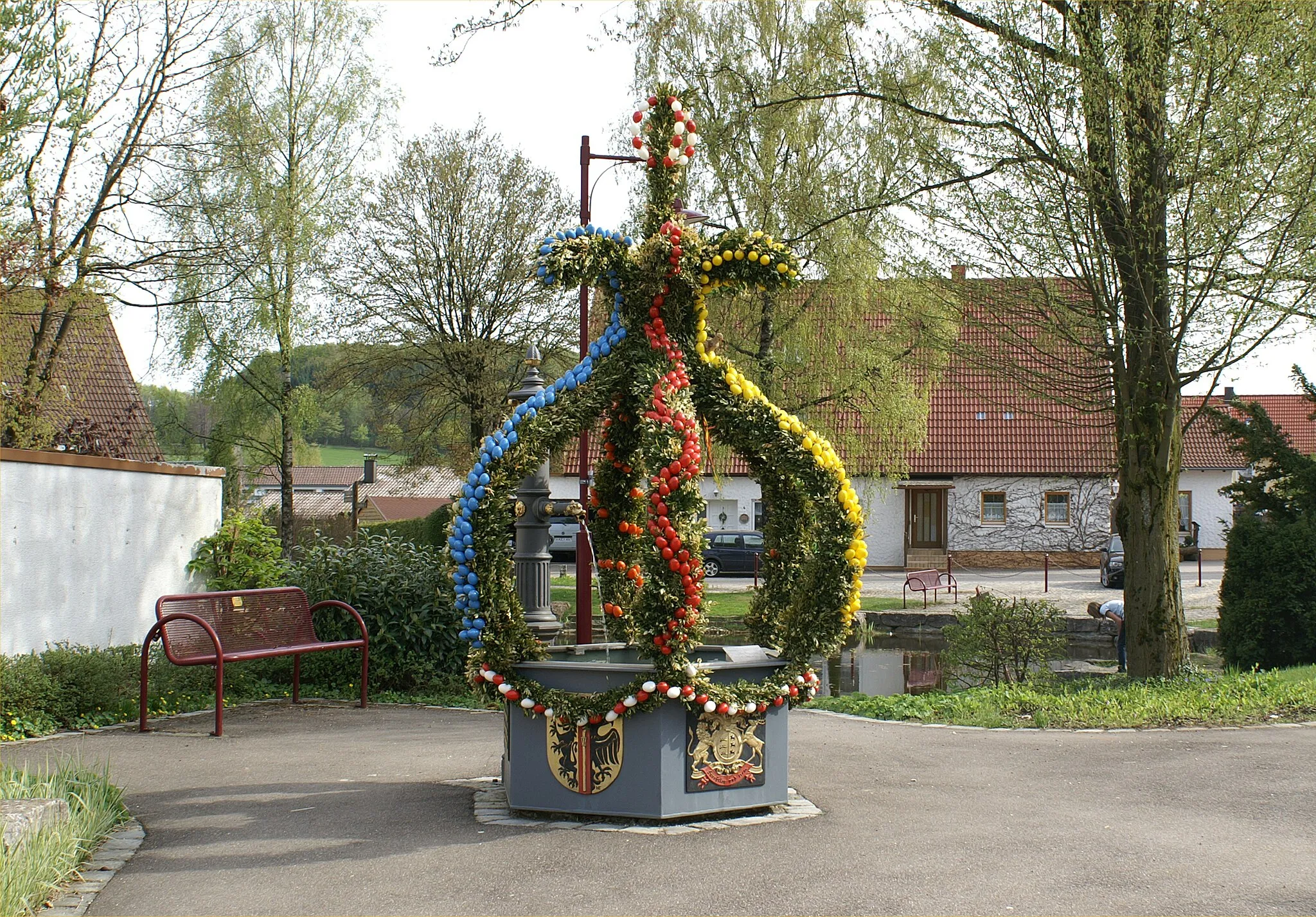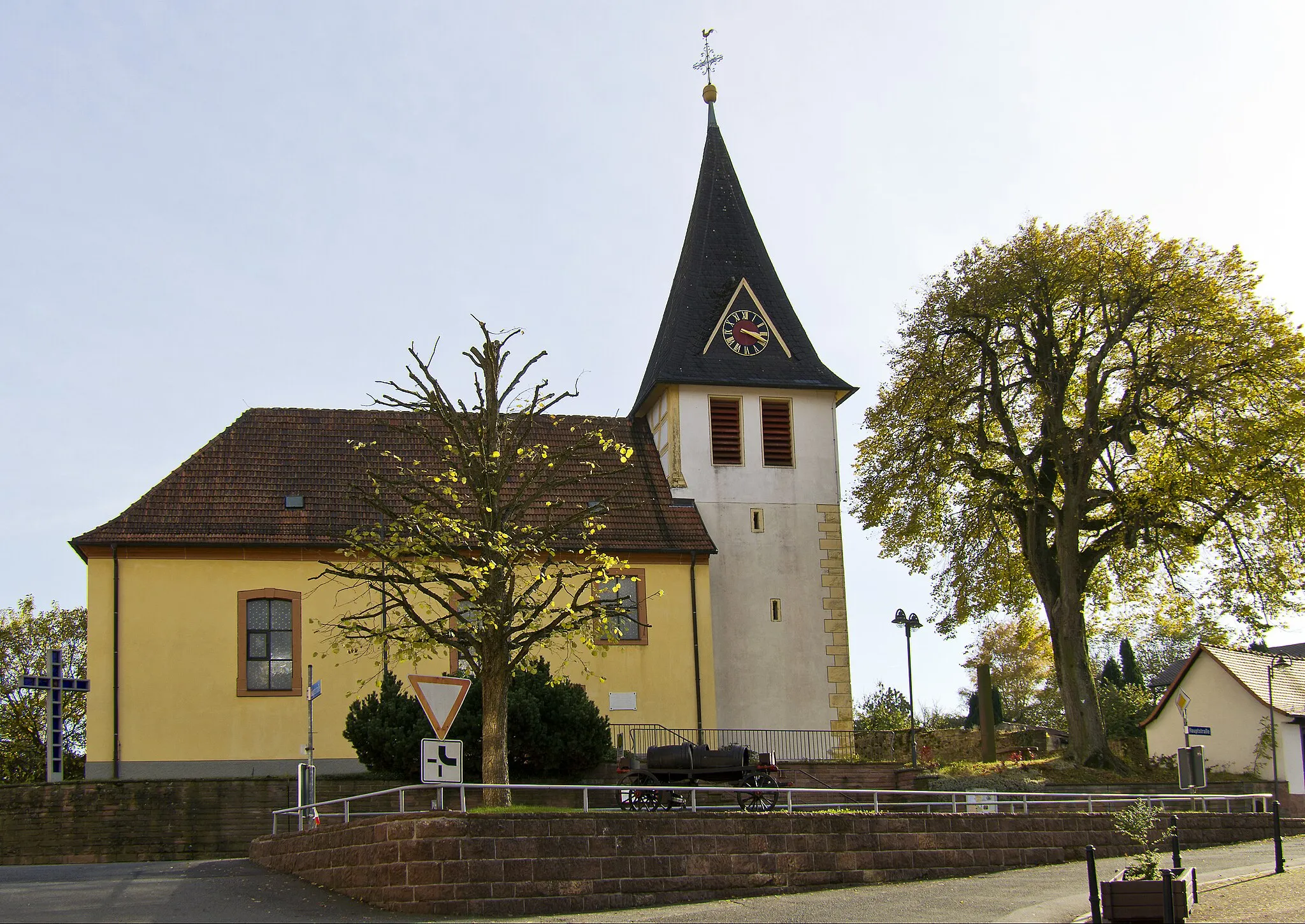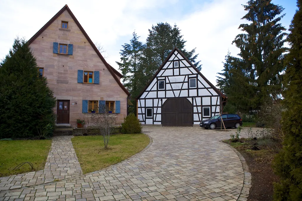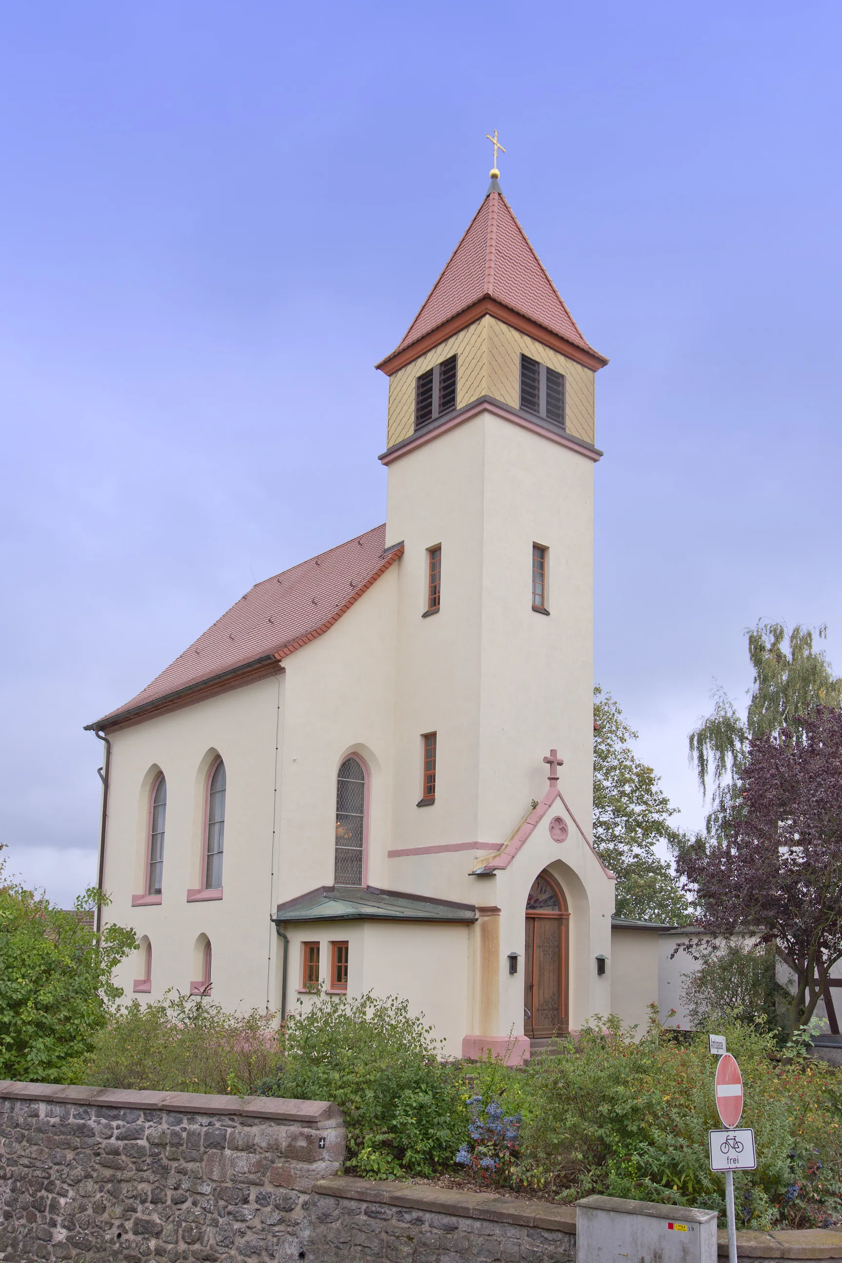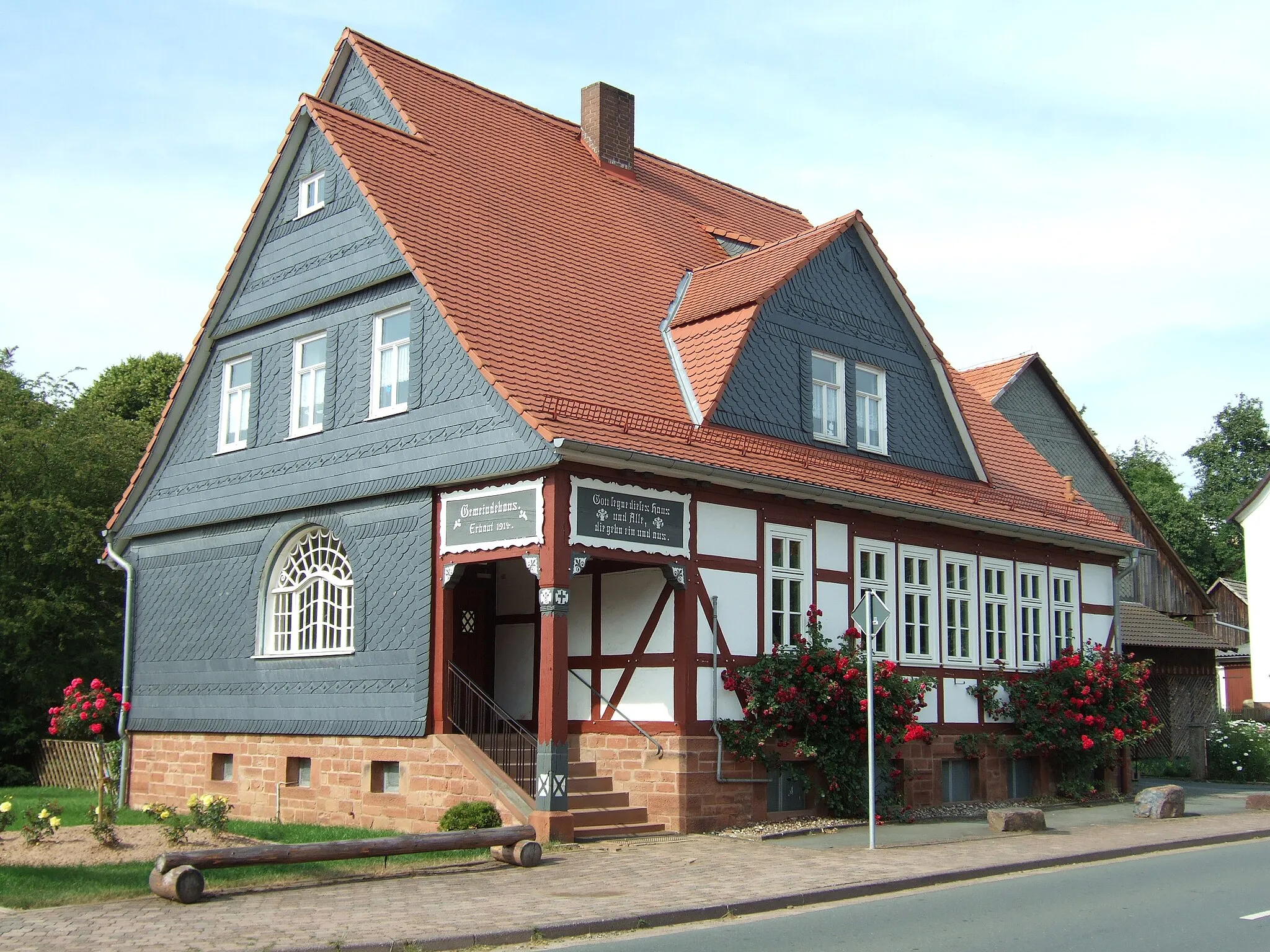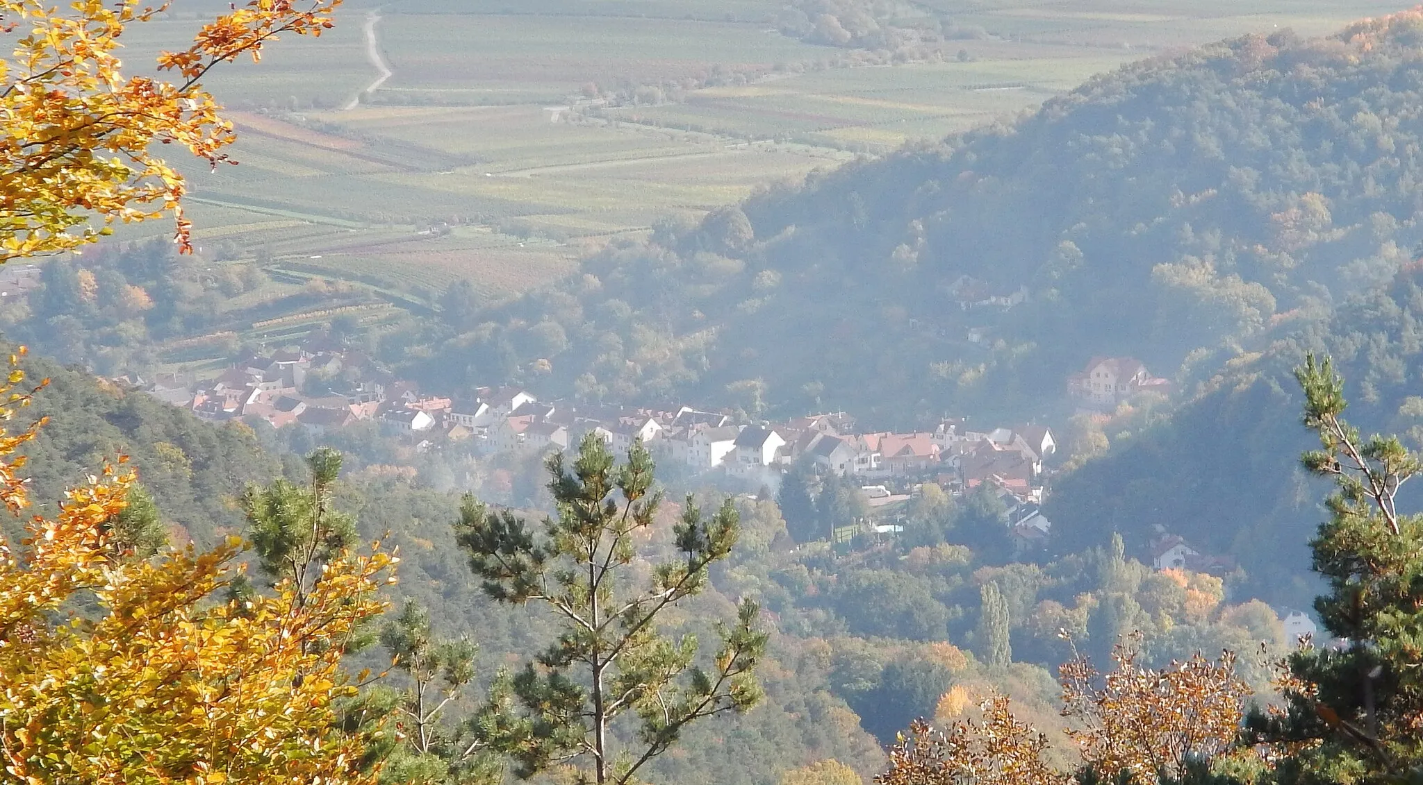
Cycling diversity in Unterfranken
Cycling routes from Aschaffenburg
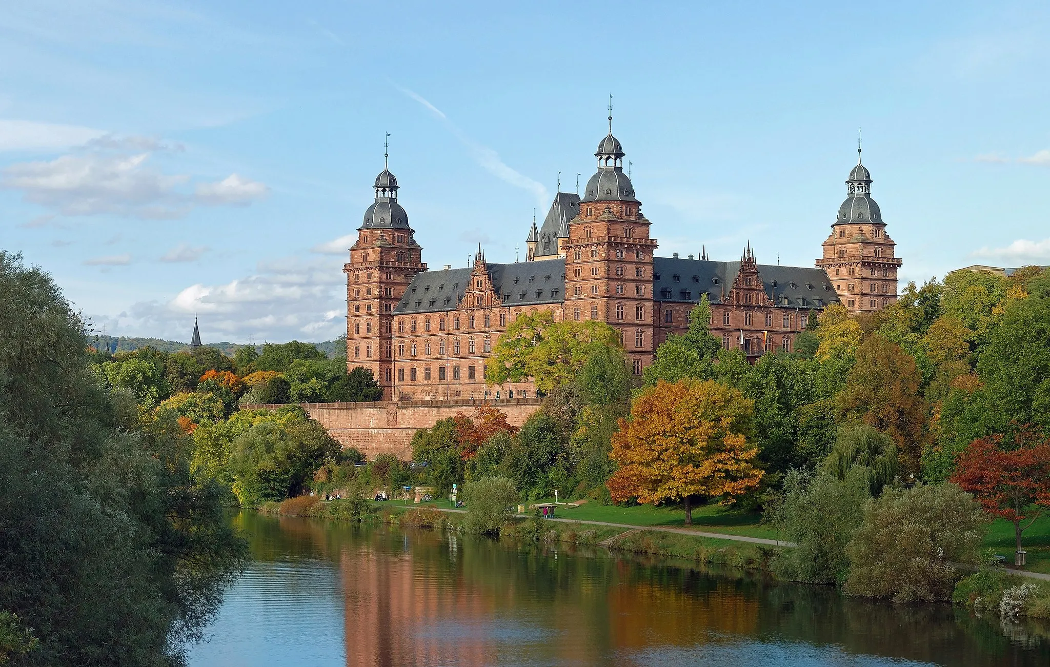
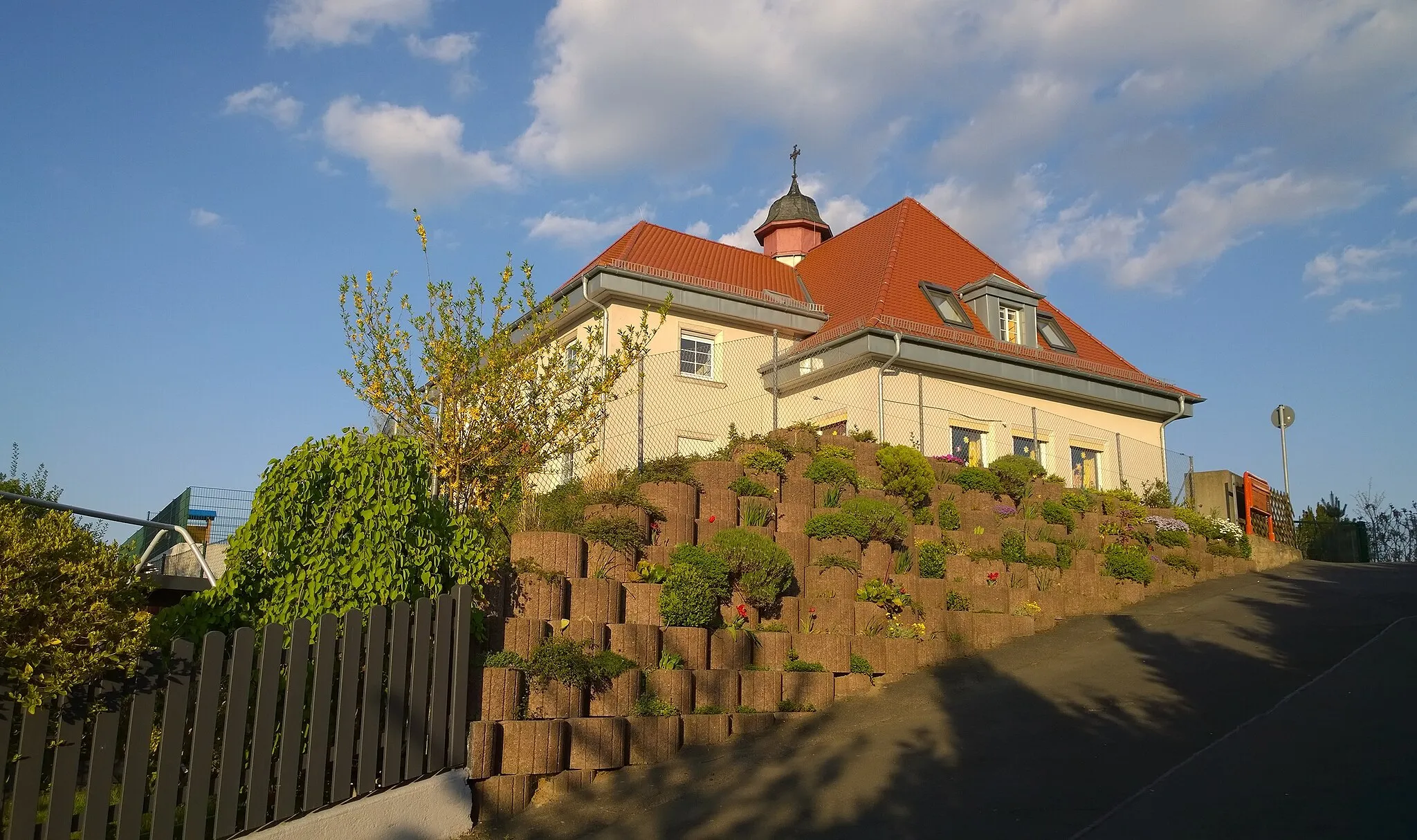
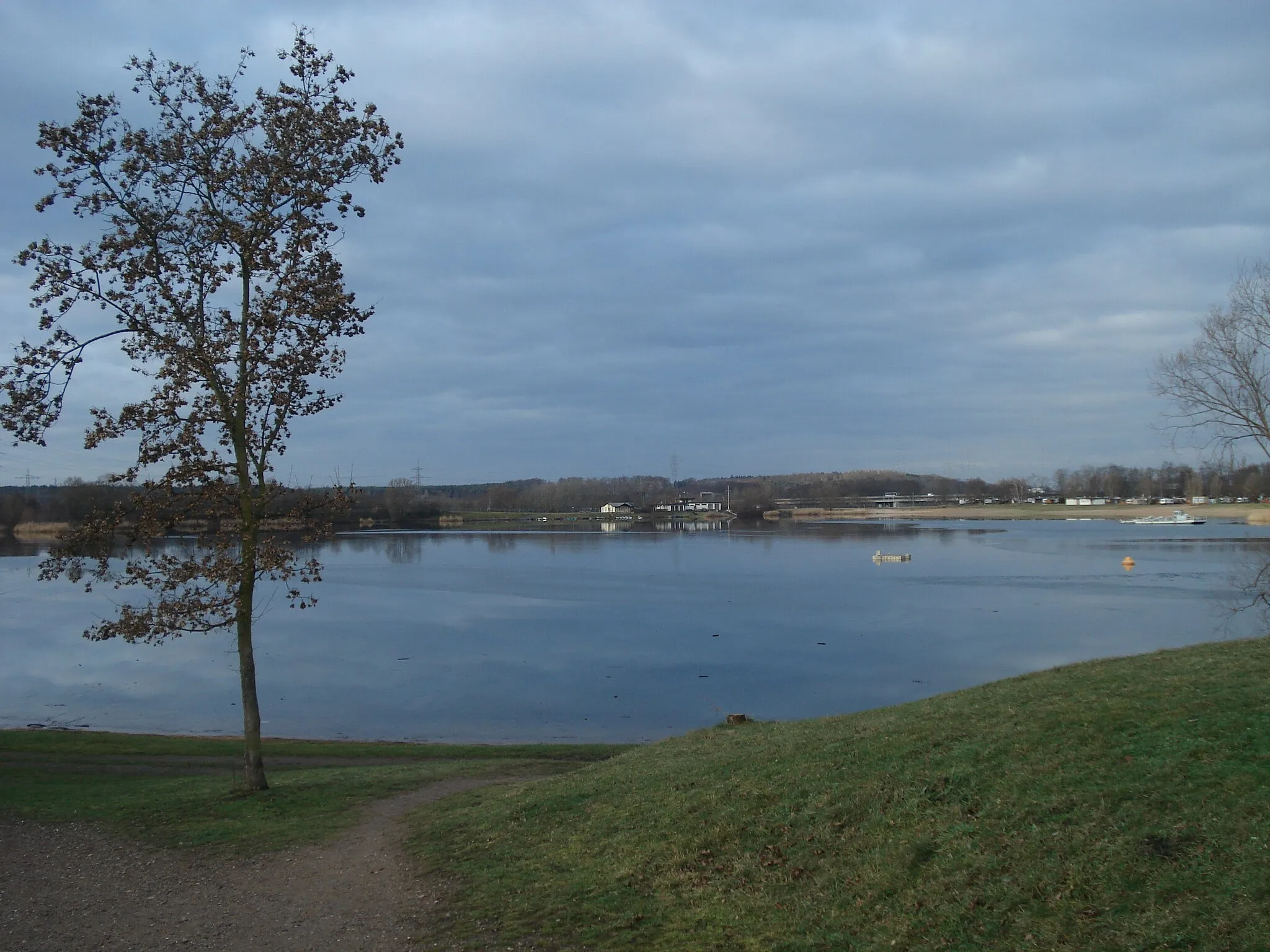
Aschaffenburg, located in the Unterfranken region of Germany, provides a varied cycling experience for road and gravel cyclists. The locality offers diverse routes ranging from flat terrains to hilly landscapes, making it suitable for riders with different preferences. The Bavarian Spessart nature park is nearby, providing scenic routes and well-maintained cycling paths. Aschaffenburg is a delightful destination for both cycling enthusiasts and tourists looking for outdoor adventures.
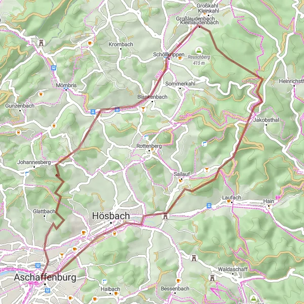
Gravel Adventure in Unterfranken
An off-road cycling adventure through picturesque landscapes and charming villages
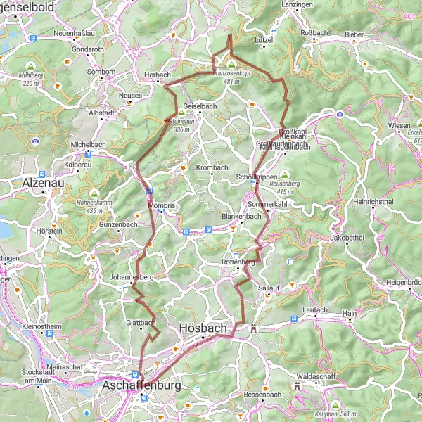
This gravel cycling route in Unterfranken, Germany offers a challenging yet rewarding experience. With a total ascent of 1311 meters and a distance of 64 kilometers, you'll have ample opportunities to test your skills. The route takes you through beautiful countryside, passing by scenic highlights such as Glattbach, where you can take in the charming atmosphere. As you cycle further, you'll encounter the scenic Glasberg and the stunning Heidkopf, offering breathtaking panoramic views. For a refreshing stop, the Kneippanlage Horbach provides a cool oasis for relaxation. The Herzberg and Großlaudenbach offer glimpses into the region's rich history, adding cultural depth to your journey. As you approach Hösbach and Klinger, you'll have the chance to appreciate the serene nature surrounding you.
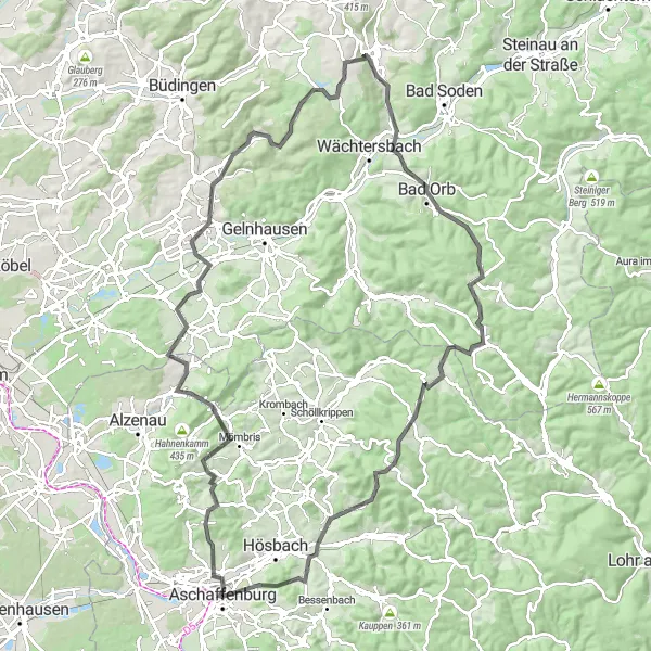
Embark on a challenging gravel expedition through scenic surroundings
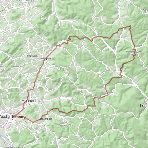
The Challenging Gravel Expedition is a demanding 97-kilometer route starting near Aschaffenburg. With an ascent of 1,773 meters, this route is suitable for experienced cyclists looking for a tough challenge. Highlights along the route include Erkelshöhe, Hermannskoppe, and Frammersbach, offering breathtaking views and unique landscapes. The difficulty rating for this route is 5 out of 5, making it challenging even for well-trained amateurs. The epicness rating is 4 out of 5, as the route presents epic landscapes and challenging terrains.
Gravel Adventure to Breuberg
Embark on a gravel adventure to the scenic Breuberg
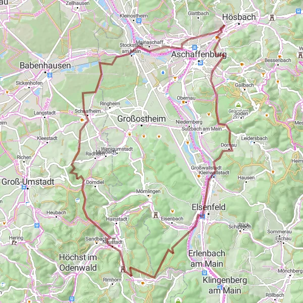
The Gravel Adventure to Breuberg is a 78-kilometer route that starts near Aschaffenburg and takes you through picturesque landscapes and charming towns. With an ascent of 963 meters, this route provides a moderate challenge suitable for amateur cyclists. Highlights include Kippenburg, Godelsberg, and Karlshöhe, offering beautiful views and interesting attractions. The difficulty rating for this route is 2 out of 5, making it accessible for most riders. The epicness rating is 3 out of 5, as the route presents scenic beauty and enjoyable points of interest.
Discover the hidden gems of the Aschaffenburg region on this road cycling tour
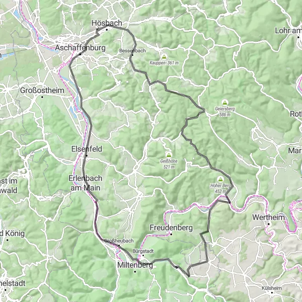
The Hidden Gems Road Cycling Tour is a 112-kilometer route that starts near Aschaffenburg and takes you through various hidden attractions and scenic landscapes. With an ascent of 1,115 meters, this route provides a moderate challenge suitable for well-trained amateur cyclists. Highlights include Königshöhe, Stadtprozelten, and Holzturm, each offering unique sights and a touch of the region's history. The difficulty of this route is rated as 3 out of 5, as it combines both challenging sections and scenic roads. The epicness rating is 4 out of 5, as the tour showcases the hidden beauty of the area.
Godelsberg Loop
A scenic gravel route through picturesque landscapes
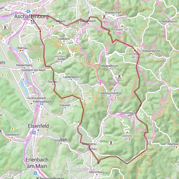
The Godelsberg Loop is a beautiful gravel route that takes you through picturesque landscapes near Aschaffenburg. With a distance of 68 km and an ascent of 1178 m, this route offers a challenging but rewarding experience. The route passes through several highlights including Godelsberg, Bessenbach, Steinberg, Echterspfahl, Unterschnorrhof, Spitzenstein, Wasserschloss Sommerau, Dörnetshöhe, Sulzberg, and Schweinheim. Whether you're looking for a thrilling gravel adventure or simply want to enjoy the stunning scenery, the Godelsberg Loop is a must-try for any cycling enthusiast. It is suitable for well-trained amateurs, with a difficulty level of 3 and an epicness score of 4.
A delightful road route with scenic viewpoints
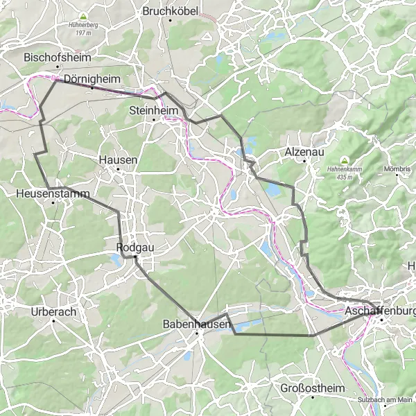
The Schönbusch Panorama is a delightful road route that takes you through scenic landscapes and offers stunning viewpoints. With a distance of 83 km and a moderate ascent of 195 m, this route is suitable for cyclists of all levels. The route passes through several highlights including Aussichtsturm Schönbusch, Harreshausen, Rodgau, Mühlheim am Main, Uferpromenade "Leinpfad", Kahl am Main, Mainaschaff, and Pompejanumfelsen. Whether you want to enjoy beautiful views, explore charming towns, or simply have a peaceful ride, the Schönbusch Panorama has something for everyone. It is suitable for all cyclists, with a difficulty level of 2 and an epicness score of 4.
Glasberg Circuit
Explore the challenging Glasberg Circuit with stunning views along the way
The Glasberg Circuit is a road cycling route starting near Aschaffenburg that offers a mix of challenging climbs and beautiful scenery. With a distance of 82 kilometers and an elevation gain of 1,331 meters, this route provides a great challenge for well-trained amateur cyclists. Enjoy highlights such as the Mömbris and Geiselbach, which offer picturesque landscapes and interesting attractions. The difficulty rating for this route is 4 out of 5, making it suitable for experienced riders looking for a tough cycling adventure. The epicness rating is 3 out of 5, as the route provides beautiful views and highlights but may not be considered legendary in the cycling world.
Glattbach Adventure
A thrilling gravel route with historical highlights
The Glattbach Adventure is a thrilling gravel route that combines challenging terrain with historical highlights. With a distance of 46 km and an ascent of 813 m, this route offers a great workout for experienced cyclists. The route passes through several highlights including Glattbach, Grauer Stein, Hasselberg, Blankenbach, Kleinkahl, Steigkoppe, Hösbach, and Klinger. Whether you're looking for an adrenaline-fueled adventure or an opportunity to explore historical sites, the Glattbach Adventure has something to offer. It is suitable for experienced cyclists, with a difficulty level of 4 and an epicness score of 3.
A challenging road route with epic climbs and historical highlights
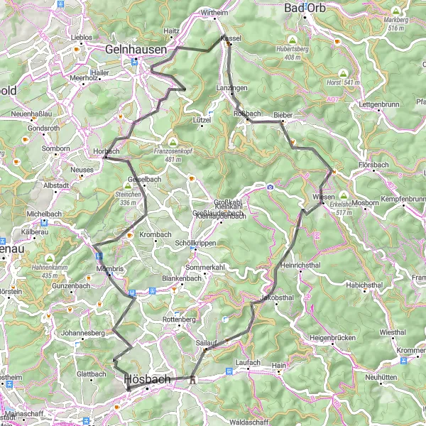
The Mömbris Adventure is a challenging road route that combines epic climbs with historical highlights. With a distance of 116 km and an ascent of 1672 m, this route is suitable for experienced cyclists looking for an exhilarating challenge. The route passes through several highlights including Pompejanumfelsen, Mömbris, Niedermittlau, Hain-Gründau, Eichelkopf, Aussichtsplattform, Bad Orb, Villbach, Eselshöhe, Steigkoppe, Sailauf, Mittelberg, and Ruine der Kirche zum hl. Grab. Whether you're a climbing enthusiast or a history buff, the Mömbris Adventure has something to offer. It is suitable for experienced cyclists, with a difficulty level of 5 and an epicness score of 4.
The Gravel Adventure
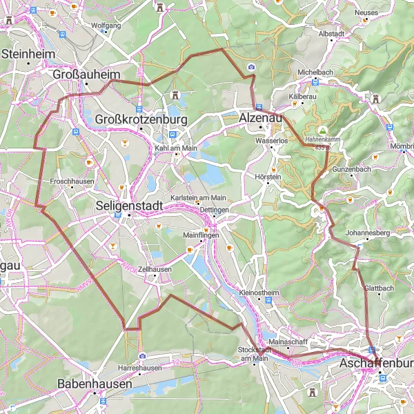
A thrilling gravel adventure through Unterfranken
Embark on a thrilling gravel adventure in Unterfranken with this round-trip cycling route starting near Aschaffenburg. Explore the diverse landscapes of the region, from rolling hills to picturesque villages, as you tackle the challenging terrain. Along the way, discover highlights such as the Pompejanumfelsen, an impressive rock formation that resembles the famous canyons of Pompeii. Visit Stockstadt am Main, known for its charming Main River waterfront and historic architecture. Cycle through Klein-Auheim and enjoy the scenic views of the surrounding countryside. Take a break at the Uferpromenade "Leinpfad" and admire the peaceful atmosphere by the river. Continue your journey to Alzenau, a town surrounded by nature and home to the magnificent Alzenau Castle. Climb the Schanzenkopf, a hill offering breathtaking panoramic views of the region. Ride through Haag, a traditional farming village, and marvel at the well-preserved half-timbered houses. Explore Johannesberg, famous for its vineyards and winemaking tradition. Conclude your adventure at the ruins of the Kirche zum hl. Grab, a historic church that offers a glimpse into the past.
Cycling routes nearby:


Nearby regions: