Ebern Tour
A road cycling route starting from Rentweinsdorf
Explore the picturesque countryside of Ebern on this scenic road route.
Map
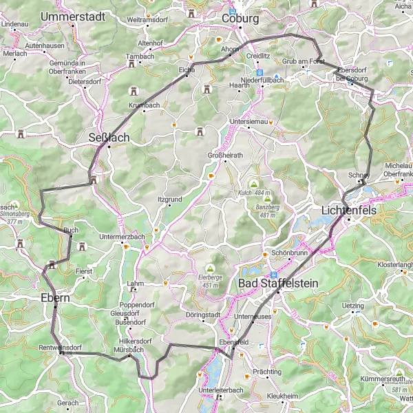
The Ebern Tour is a scenic road cycling route that covers a distance of 82 kilometers and has an ascent of 913 meters. This route takes you through the charming village of Ebern and offers stunning views of the surrounding countryside. Highlights of the ride include the stops at Panoramablick, Hahn, Seßlach, and Lichtenfels. With a difficulty rating of 3 and an epicness rating of 3, the Ebern Tour is suitable for intermediate riders who want to enjoy both beautiful landscapes and cultural landmarks. Overall, this route provides a mix of rolling hills, stunning vistas, and a glimpse into the history of the region.
road
82 km
913 m
Tough
Route profile
Highlights on the route
0 km
0 km
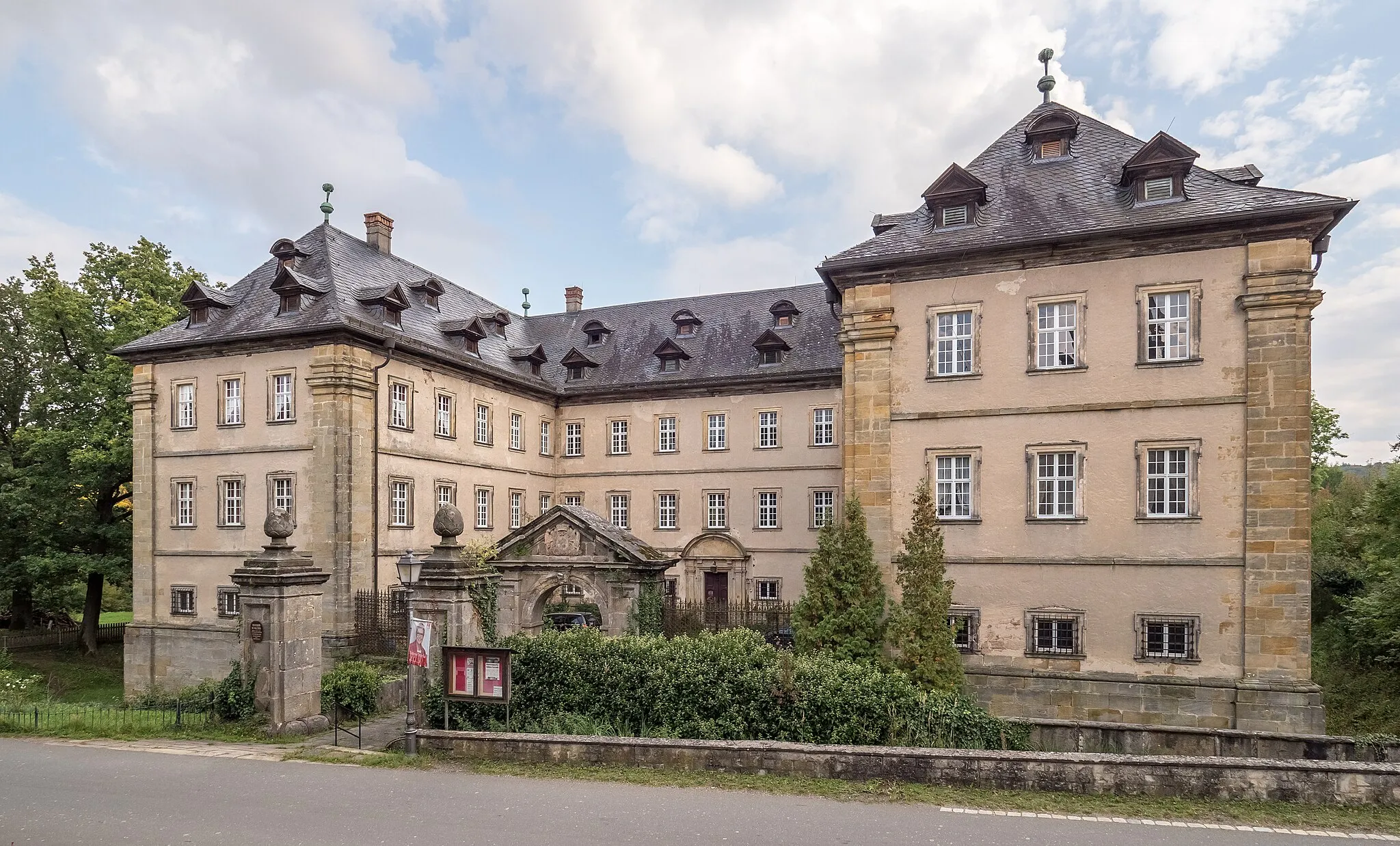
Start: Rentweinsdorf Village centerRentweinsdorf: Discover the charm of Unterfranken's countryside on your bike.
Rentweinsdorf is a locality located in Unterfranken, Germany. It offers peaceful and picturesque cycling routes, surrounded by charming countryside. The roads in the area are well-maintained, providing a smooth riding experience for cyclists. Although Rentweinsdorf does not have any famous cycling-related spots or well-known climbs nearby, it is a great destination for leisurely rides and exploring the scenic beauty of Unterfranken. Cyclists can enjoy the tranquility of the countryside and indulge in some local cuisine at the quaint villages along the way.3 km
3 km
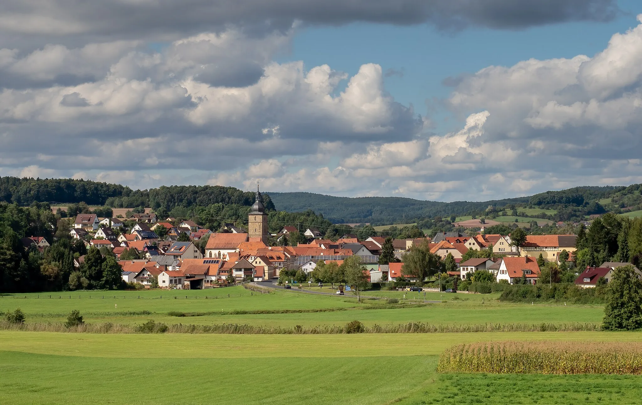
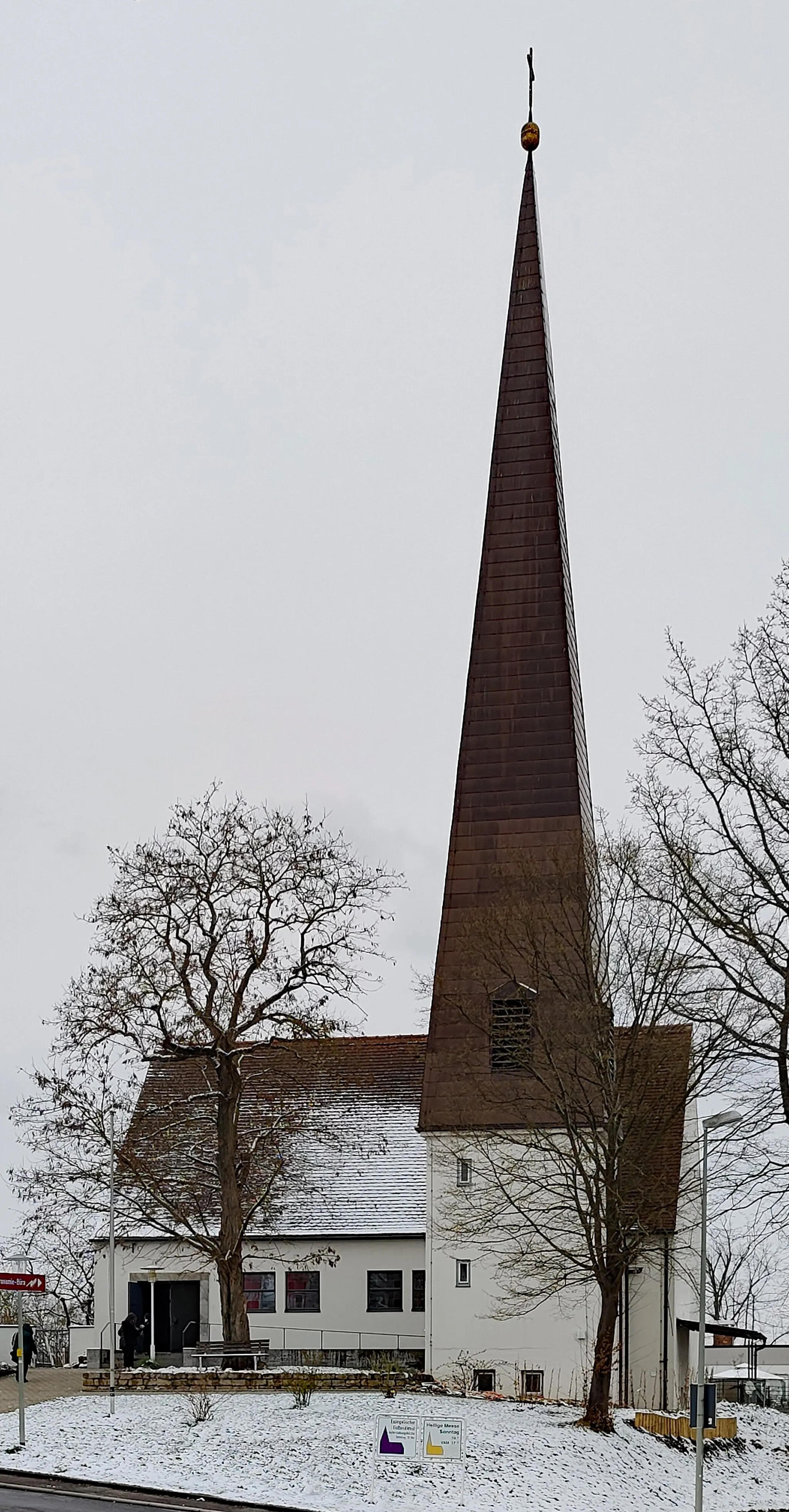
EbernTownEbern is a starting point for this route but doesn't offer specific highlights.
9 km
9 km
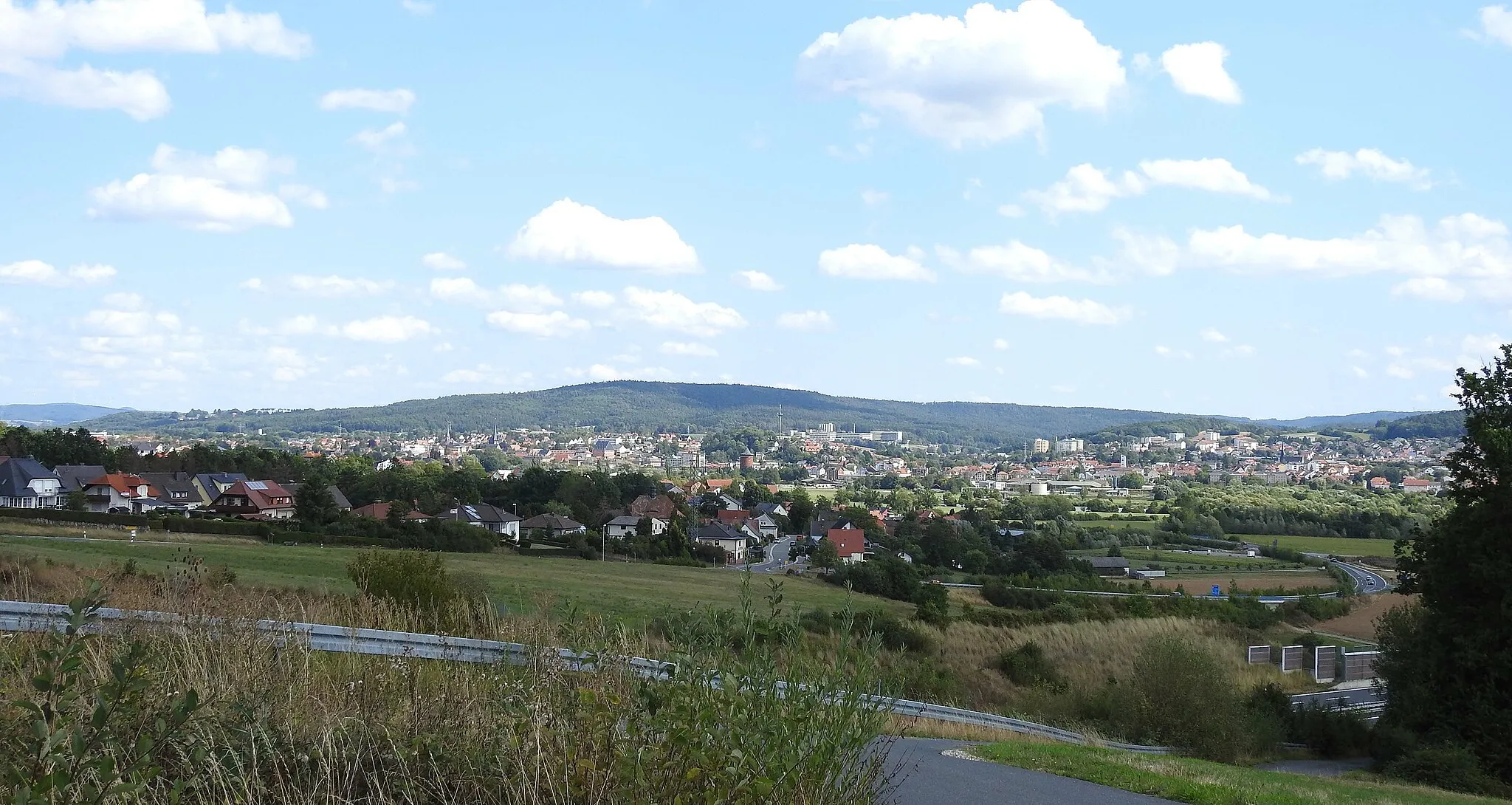
PanoramablickViewpointPanoramablick offers panoramic views of the countryside and is perfect for a photo stop.
19 km
19 km
Hahn307 mPeakHahn is a small village with a tranquil atmosphere and traditional German architecture.
21 km
21 km
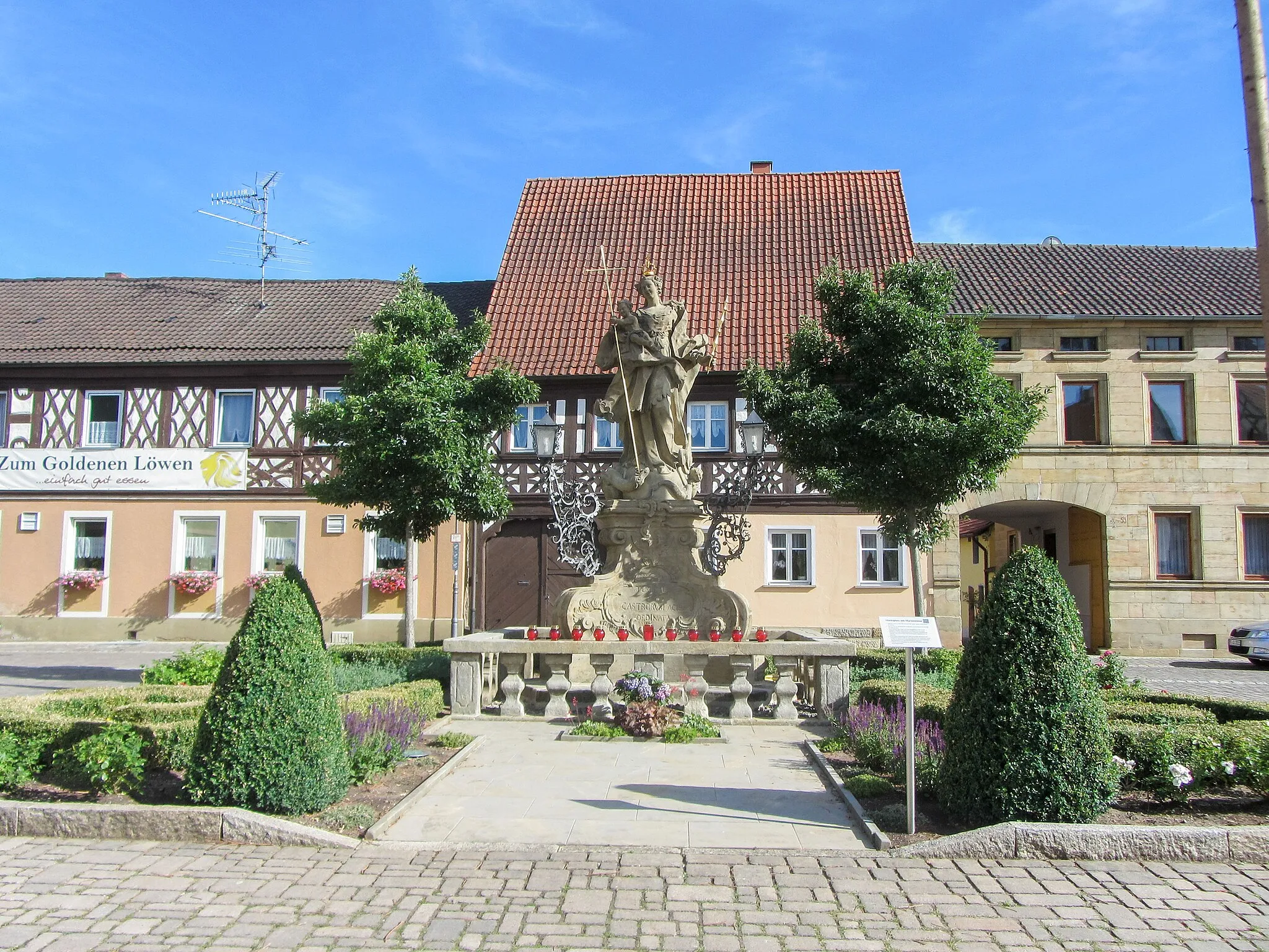
SeßlachTownSeßlach is a medieval town with well-preserved fortifications and half-timbered houses.
31 km
31 km
AhornVillageAhorn is a quaint village with charming streets and beautiful rural surroundings.
39 km
39 km
Spitz348 mPeakSpitz is a small village with limited highlights.
48 km
48 km
Eichenbühl340 mPeakEichenbühl is a picturesque village known for its orchards and scenic landscapes.
54 km
54 km
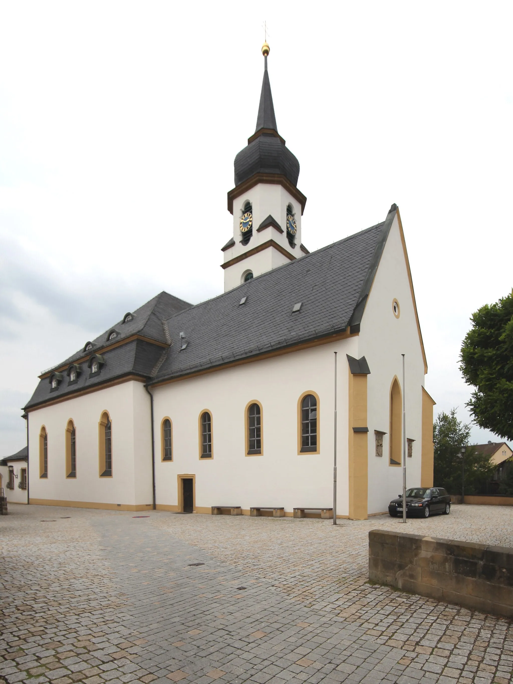
LichtenfelsTownLichtenfels is a historic town with a charming old town center and a rich brewing tradition.
61 km
61 km
Bad StaffelsteinTownBad Staffelstein is famous for its beautiful basilica and the nearby Staffelberg mountain.
77 km
77 km
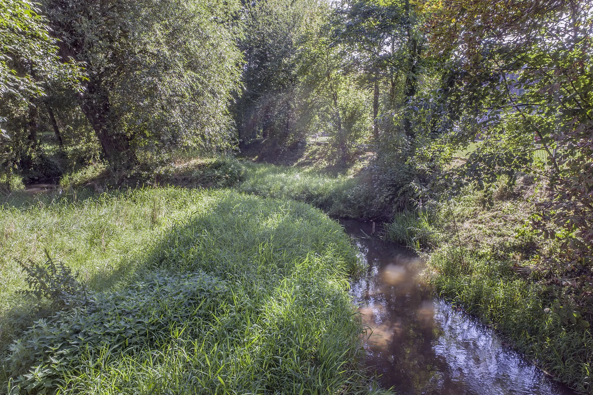
Itzgrund-BlickViewpointItzgrund-Blick offers stunning views of the Itz River valley and the surrounding hills.
82 km
82 km
Finish: Rentweinsdorf Village centerRentweinsdorf: Discover the charm of Unterfranken's countryside on your bike.
Cycling routes from Rentweinsdorf:
Cycling routes nearby: