Gravel cycling around Szentlőrinc
A gravel cycling route starting from Szentlorinc
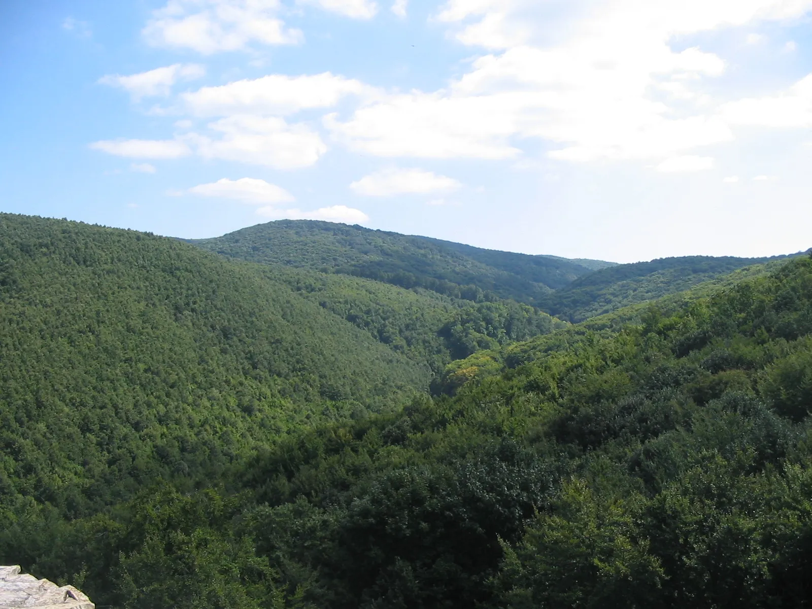
A thrilling gravel adventure through the countryside
Map
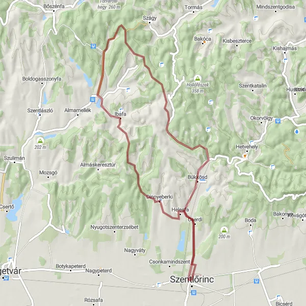
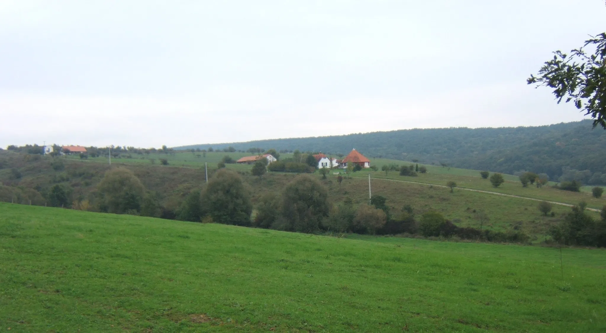
Cycle through the picturesque countryside near Szentlőrinc on this 52 km gravel route. With a total ascent of 618 meters, you will face some challenging climbs but will be rewarded with breathtaking views and beautiful landscapes. The route takes you through the charming villages of Dinnyeberki, Ibafa, and Bükkösd, offering a glimpse into the traditional rural life of Hungary. Explore dirt roads and enjoy the tranquility of the countryside on this exciting cycling journey.
gravel
52 km
618 m
Tough
Route profile
Highlights on the route
0 km
0 km
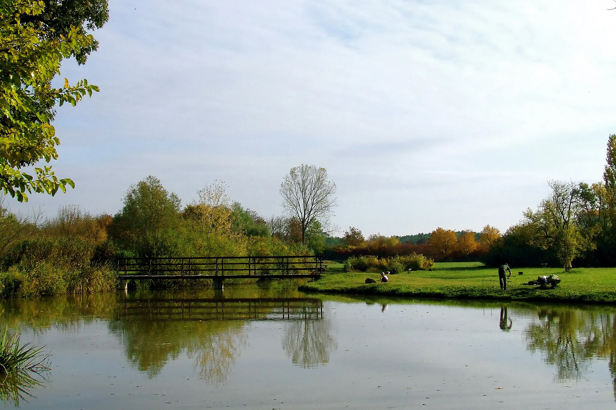
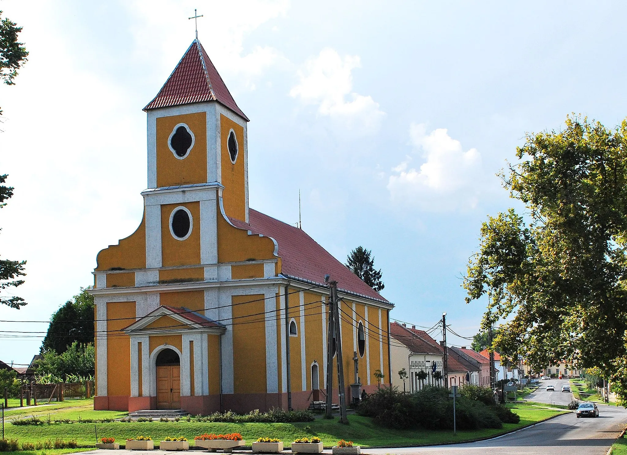
Start: Szentlőrinc City centerSzentlőrinc: Rolling hills and picturesque landscapes
Szentlőrinc is a town located in the Dél-Dunántúl region of Hungary. From the perspective of a road and gravel cyclist, Szentlőrinc offers enjoyable cycling options. The surrounding area features rolling hills and picturesque landscapes, providing opportunities for scenic rides. While Szentlőrinc itself may not be home to any famous cycling-related spots or well-known climbs, it serves as a convenient base for exploring the cycling routes in the Dél-Dunántúl region. Overall, Szentlőrinc ranks as a 3 in terms of cycling from a cyclist's perspective.9 km
9 km
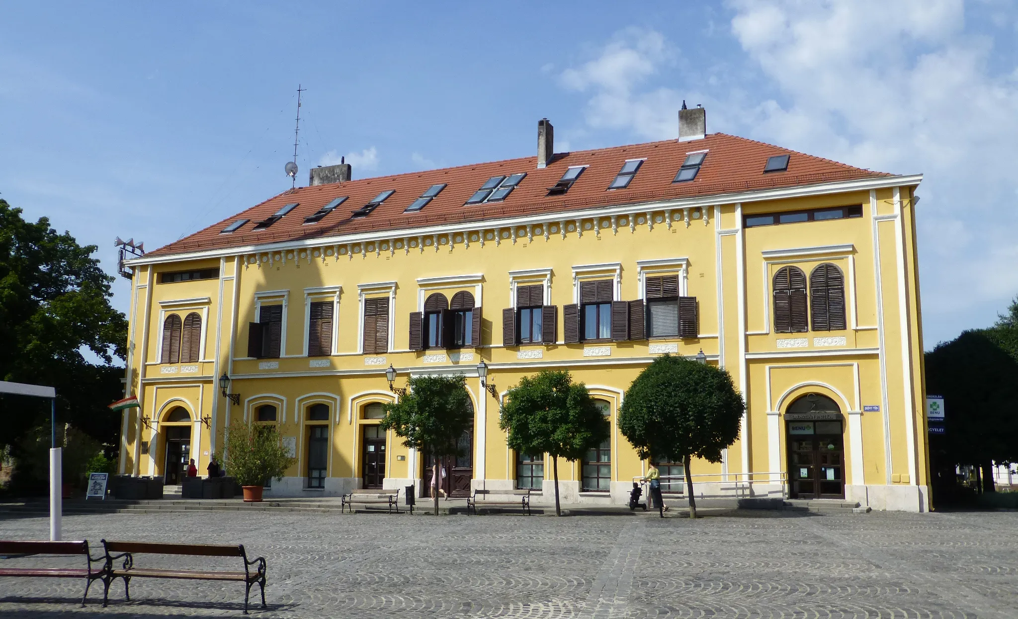
DinnyeberkiVillageLocated 9 km from the route, Dinnyeberki offers a delightful stopover with its historic architecture and cozy local eateries.
18 km
18 km
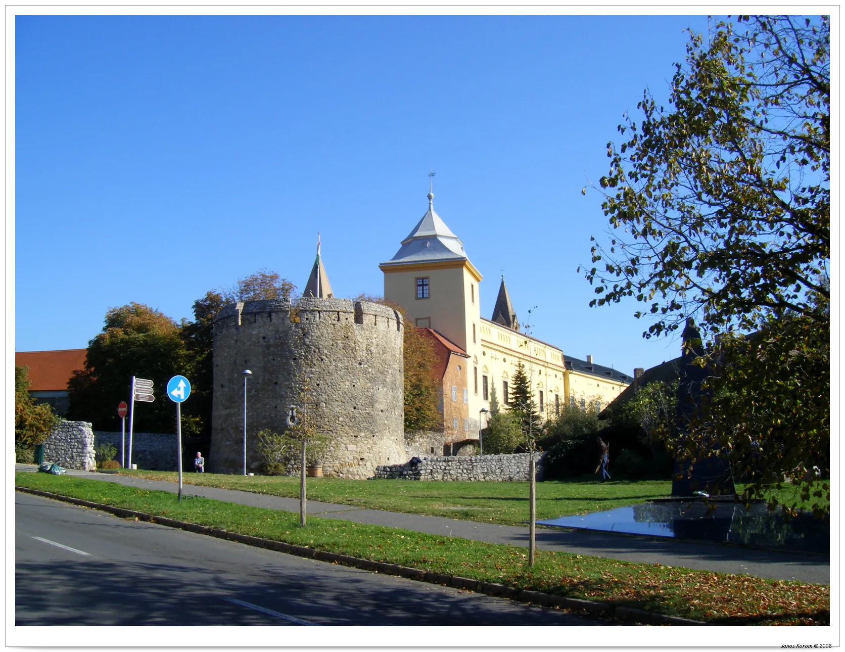
IbafaVillageIbafa, situated 18 km away from the route, is known for its traditional craftmanship and folklore festivals. Take a break and experience the authentic rural atmosphere.
43 km
43 km
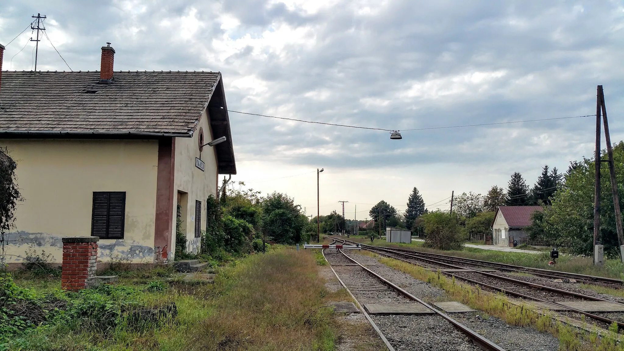
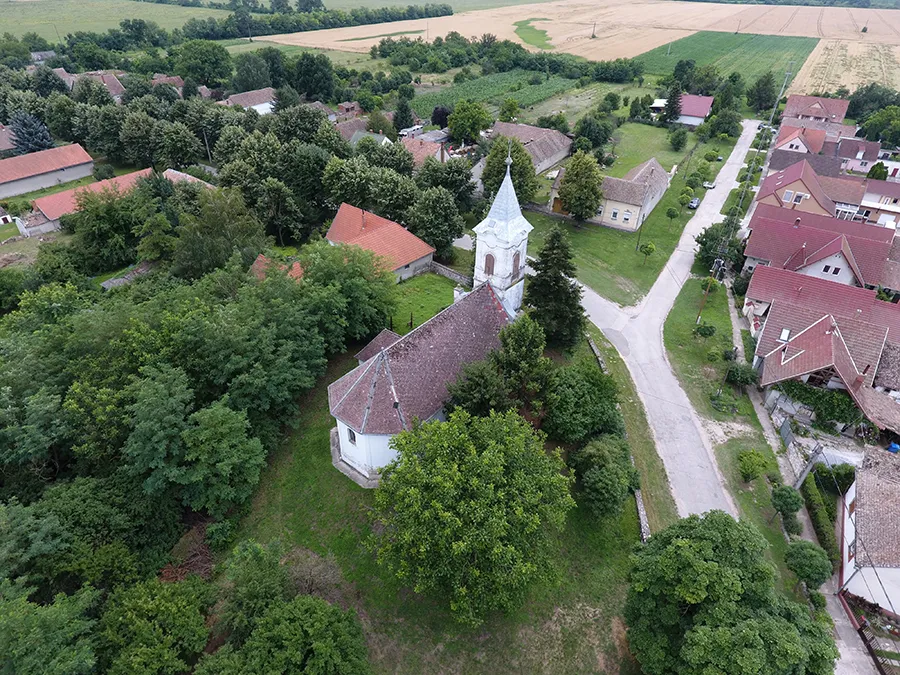
BükkösdVillageBükkösd is a charming village located 43 km from the route. Visit the local church and enjoy the peacefulness of the countryside surroundings.
52 km
52 km
Finish: Szentlőrinc City centerSzentlőrinc: Rolling hills and picturesque landscapes
Cycling routes nearby: