Cycling in the Countryside
A road cycling route starting from Szentlorinc
Explore the countryside and charming villages of Hungary
Map

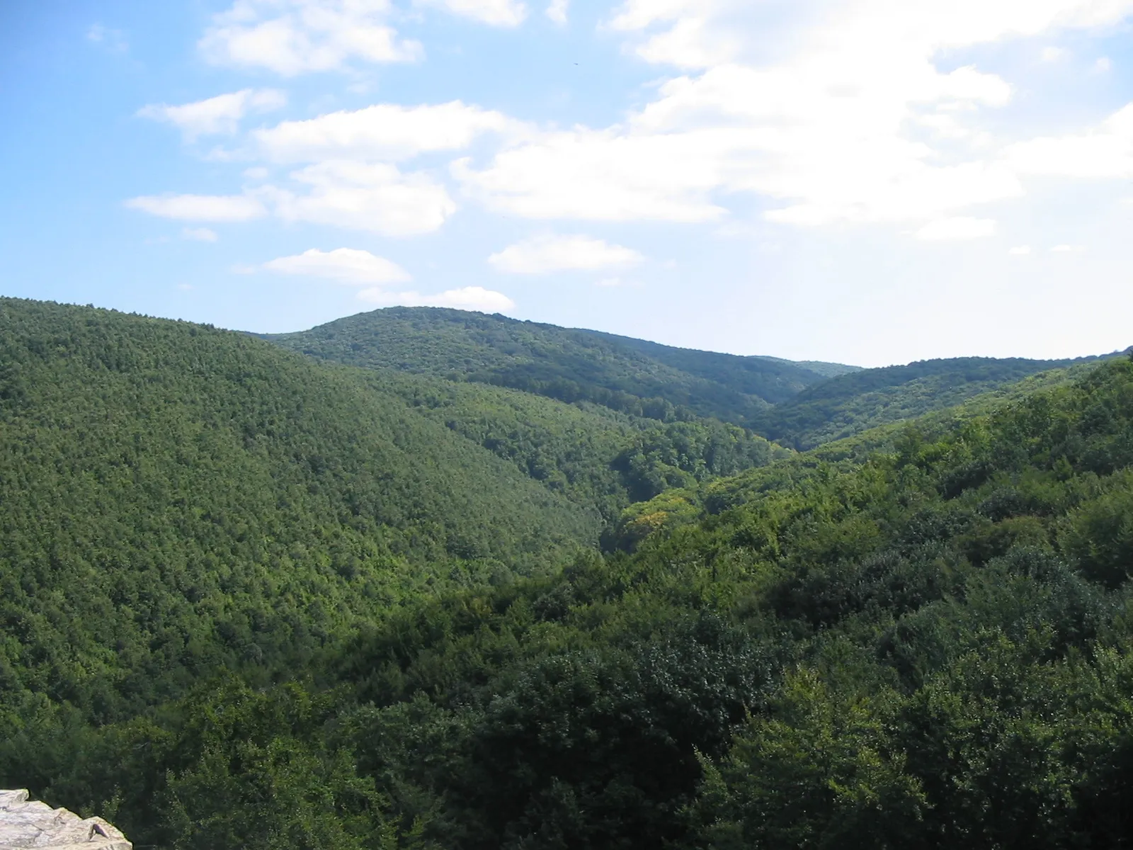
Embark on this 94 km road route to explore the beautiful countryside and charming villages of Hungary. With a total ascent of 81 meters, this route offers a relatively easy ride suitable for beginners and well-trained amateurs alike. Rated 2 out of 5 for epicness, this ride provides a perfect opportunity to enjoy the tranquility of rural Hungary and immerse yourself in the local culture.
road
94 km
81 m
Chill
Route profile
Highlights on the route
0 km
0 km
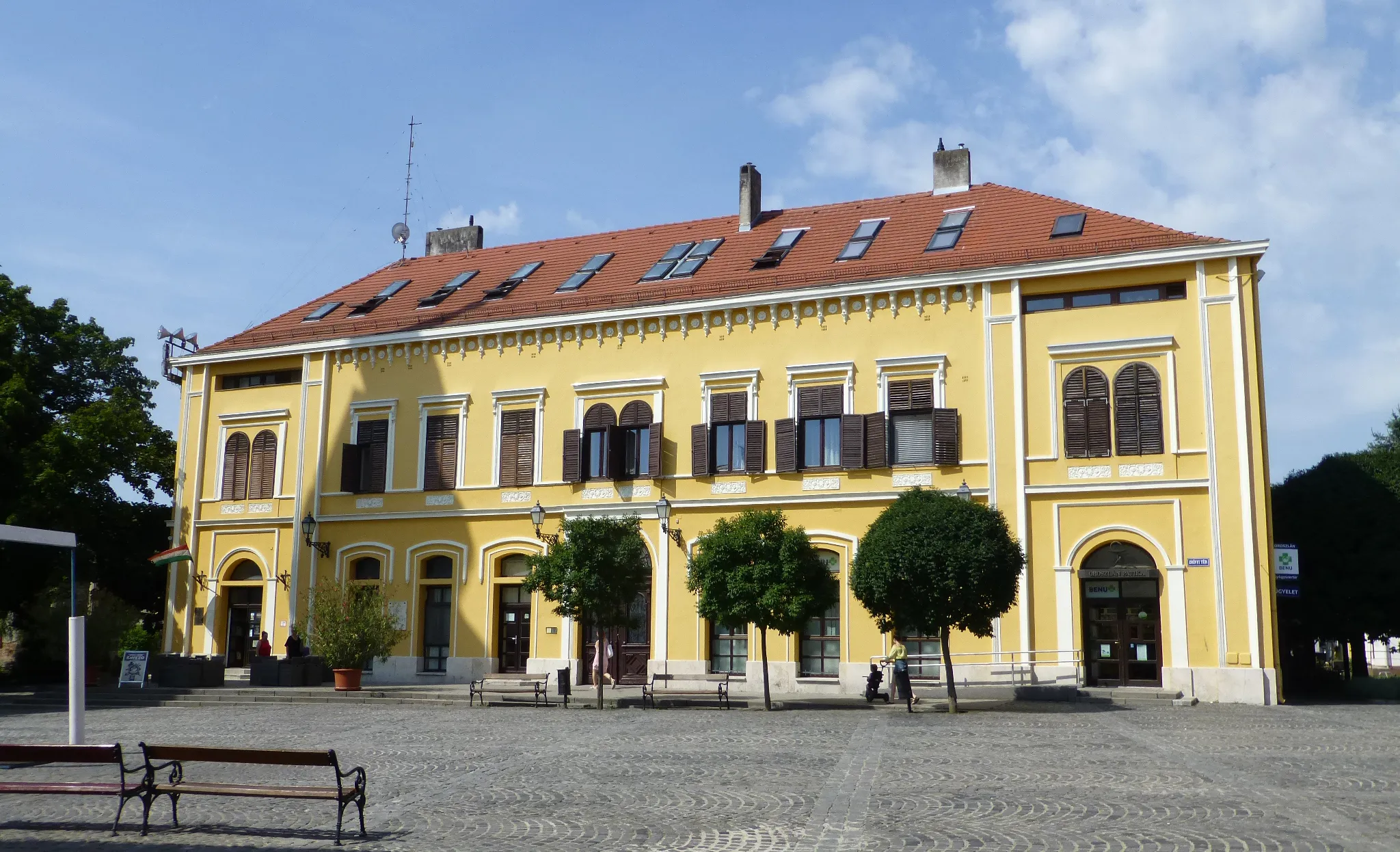
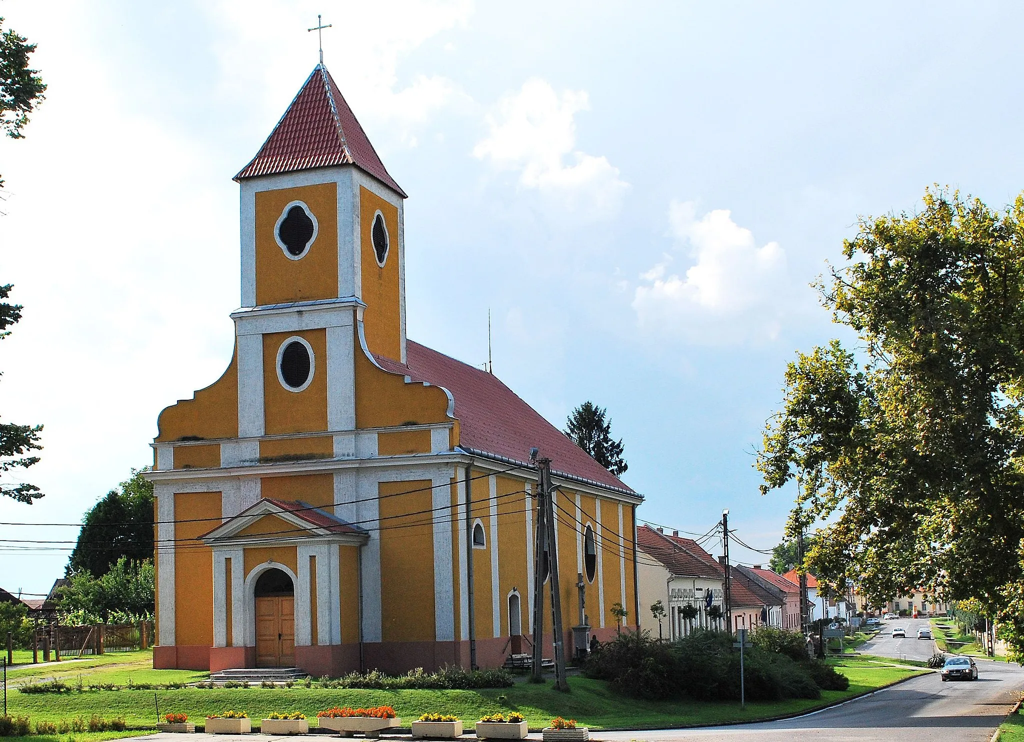
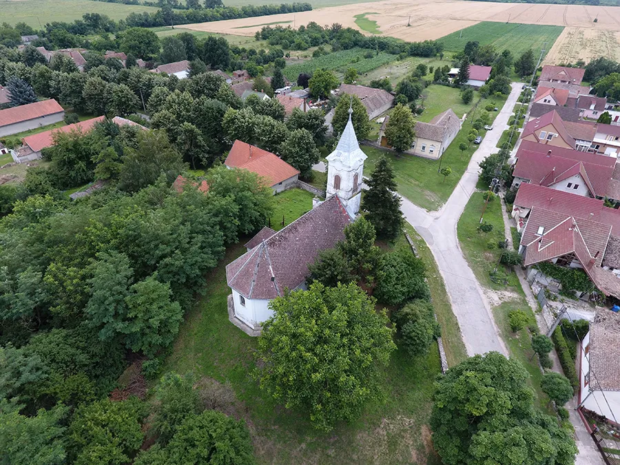
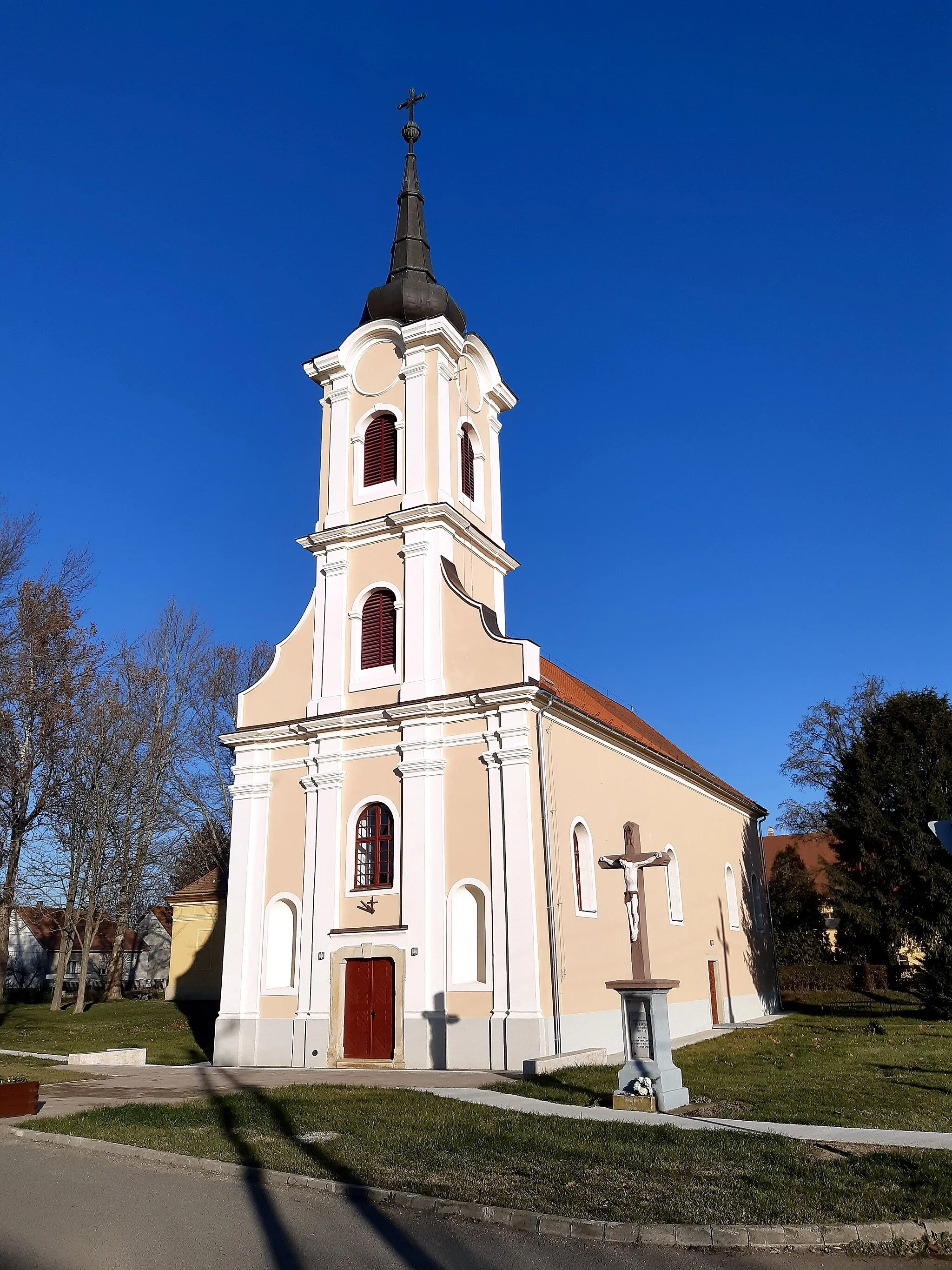
Start: Szentlőrinc City centerSzentlőrinc: Rolling hills and picturesque landscapes
Szentlőrinc is a town located in the Dél-Dunántúl region of Hungary. From the perspective of a road and gravel cyclist, Szentlőrinc offers enjoyable cycling options. The surrounding area features rolling hills and picturesque landscapes, providing opportunities for scenic rides. While Szentlőrinc itself may not be home to any famous cycling-related spots or well-known climbs, it serves as a convenient base for exploring the cycling routes in the Dél-Dunántúl region. Overall, Szentlőrinc ranks as a 3 in terms of cycling from a cyclist's perspective.0 km
0 km
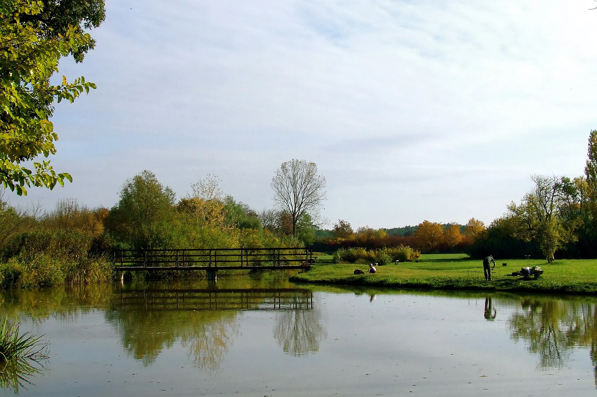
St. LawrenceTownSt. Lawrence: Enjoy a peaceful break by the river and marvel at the stunning sunset.
41 km
41 km
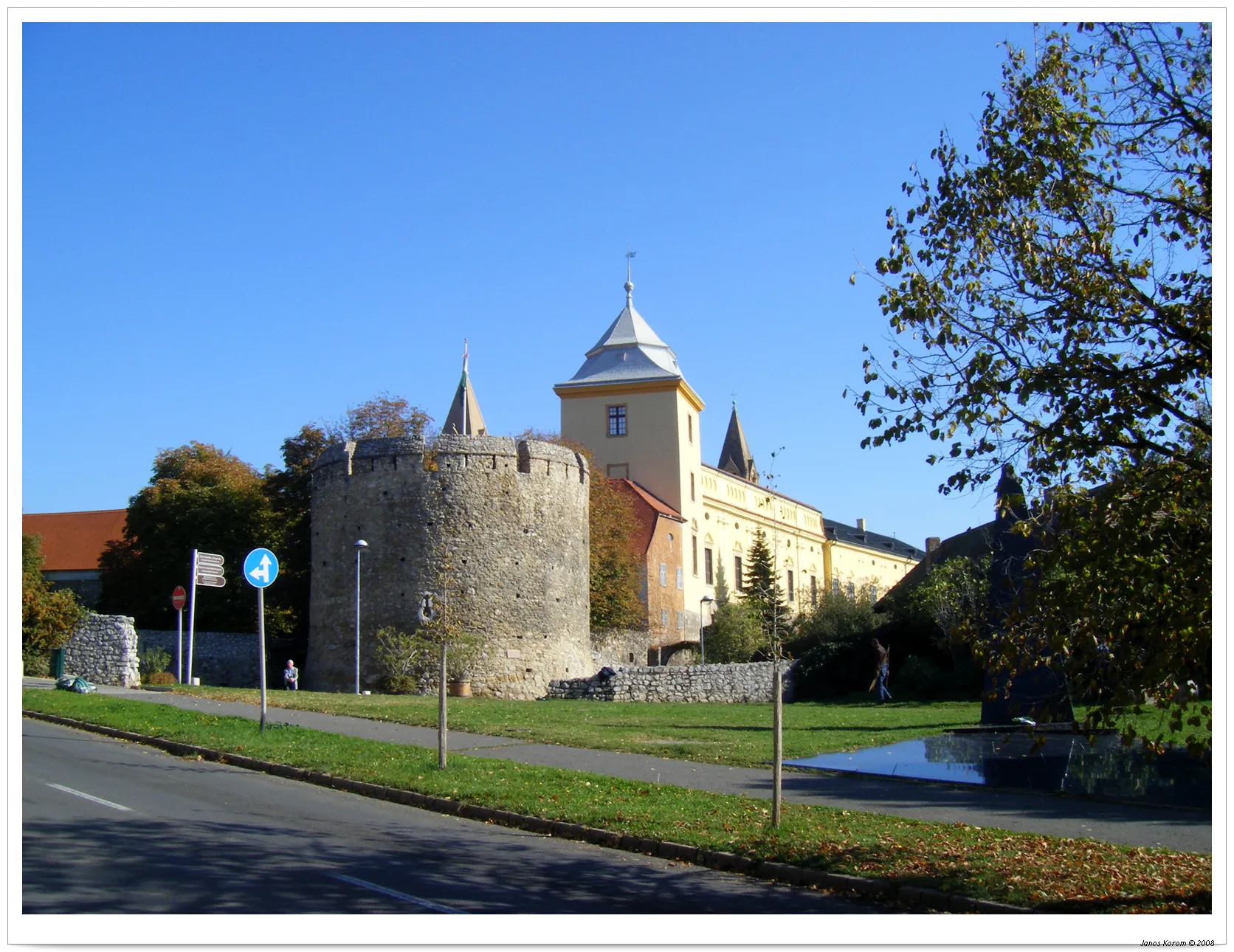
FelsőszentmártonVillageFelsőszentmárton: Explore the charming streets and historical sites of this quaint village.
51 km
51 km
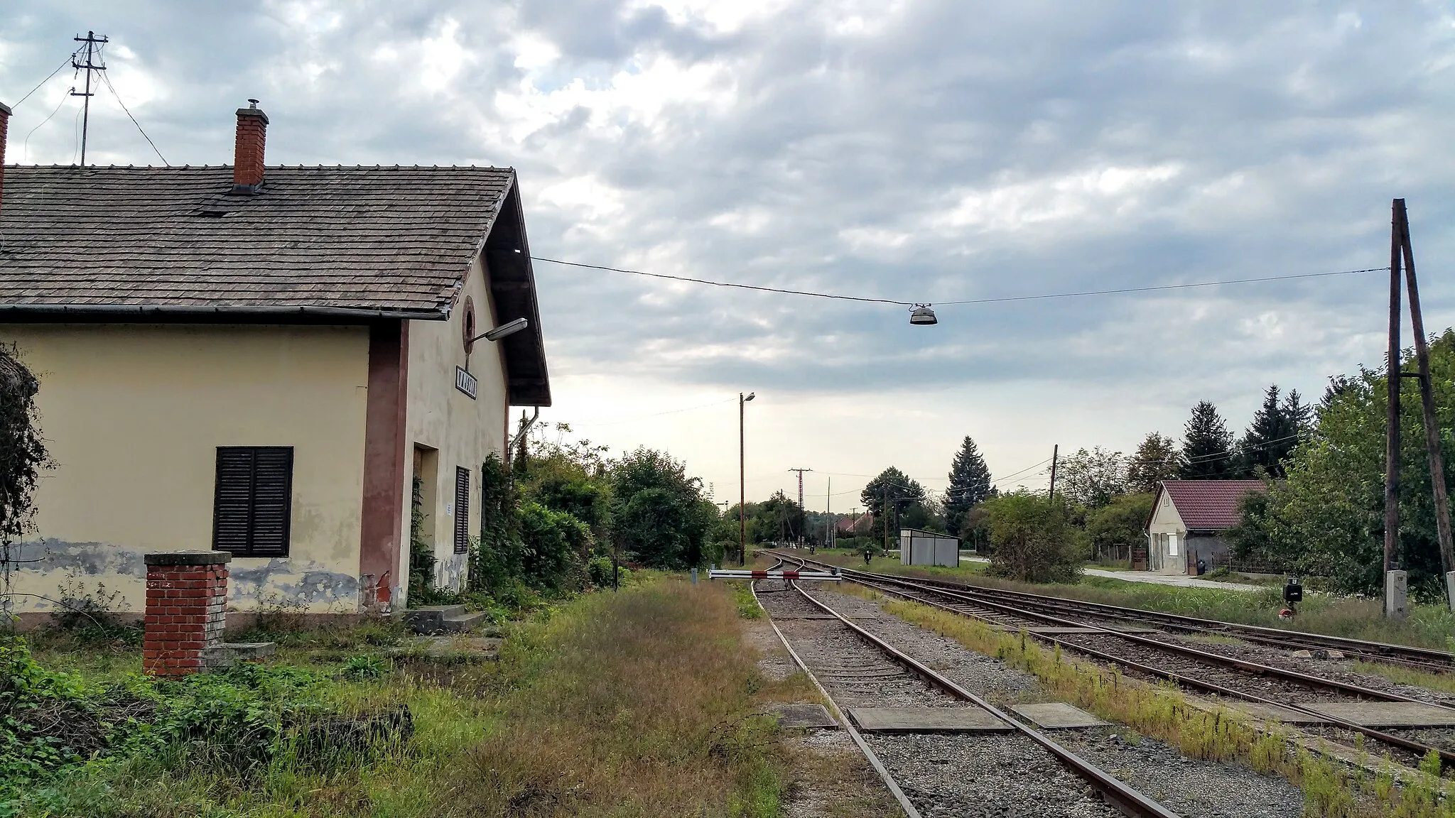
TótújfaluVillageTótújfalu: Cycle along the scenic trails and admire the beautiful landscapes.
91 km
91 km
KacsótaVillageKacsóta: Take a break at the local cafe and try the delicious traditional pastries.
94 km
94 km
Finish: Szentlőrinc City centerSzentlőrinc: Rolling hills and picturesque landscapes
Cycling routes nearby: