Around Bükkösd
A road cycling route starting from Szentlorinc
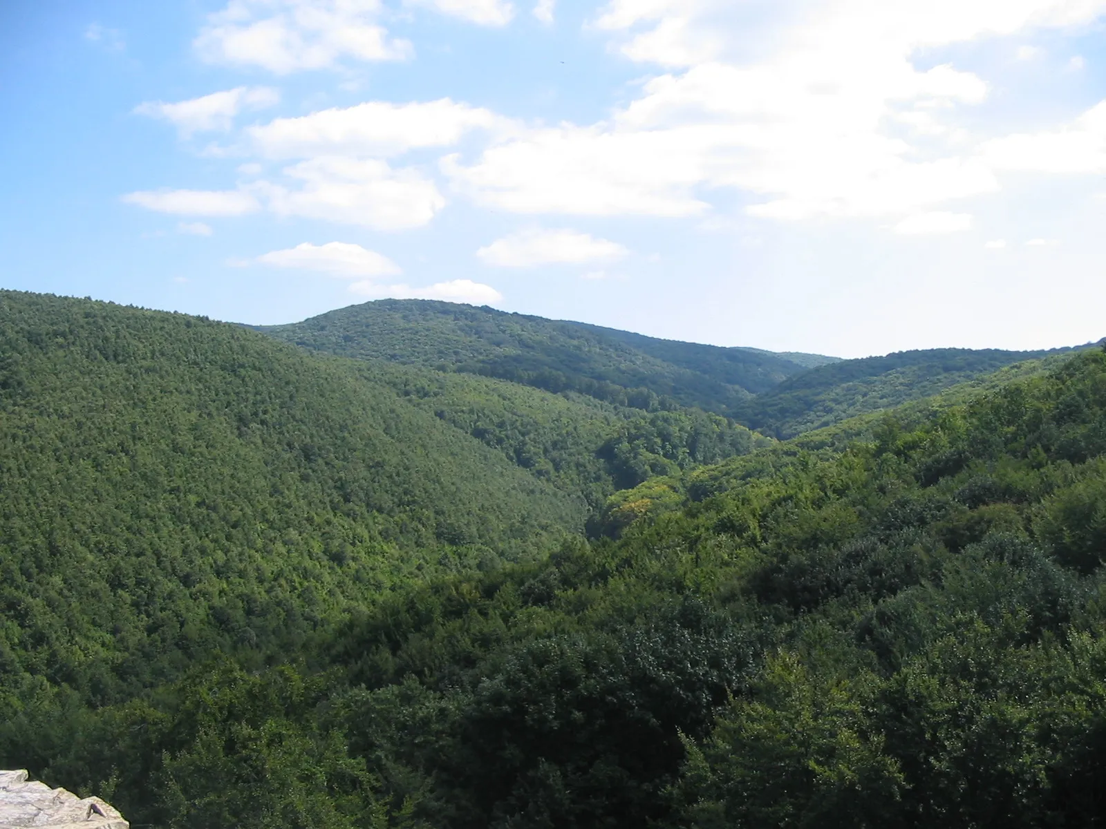
Discover the charming countryside around Bükkösd
Map

Embark on a cycling adventure to discover the charming countryside around Bükkösd. This 86 km road route offers a moderate difficulty level with a total ascent of 708 meters. Suitable for experienced amateurs, this ride takes you through rolling hills, picturesque villages, and scenic landscapes. Rated 3 out of 5 for epicness, this route offers a perfect balance between challenging terrain and beautiful surroundings.
road
86 km
708 m
Tough
Route profile
Highlights on the route
0 km
0 km
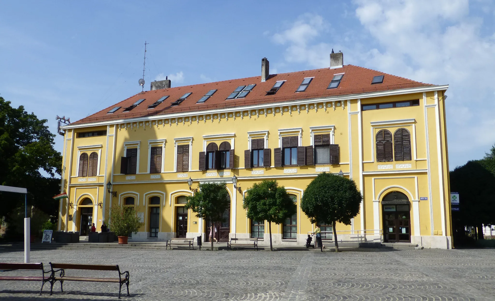
Start: Szentlőrinc City centerSzentlőrinc: Rolling hills and picturesque landscapes
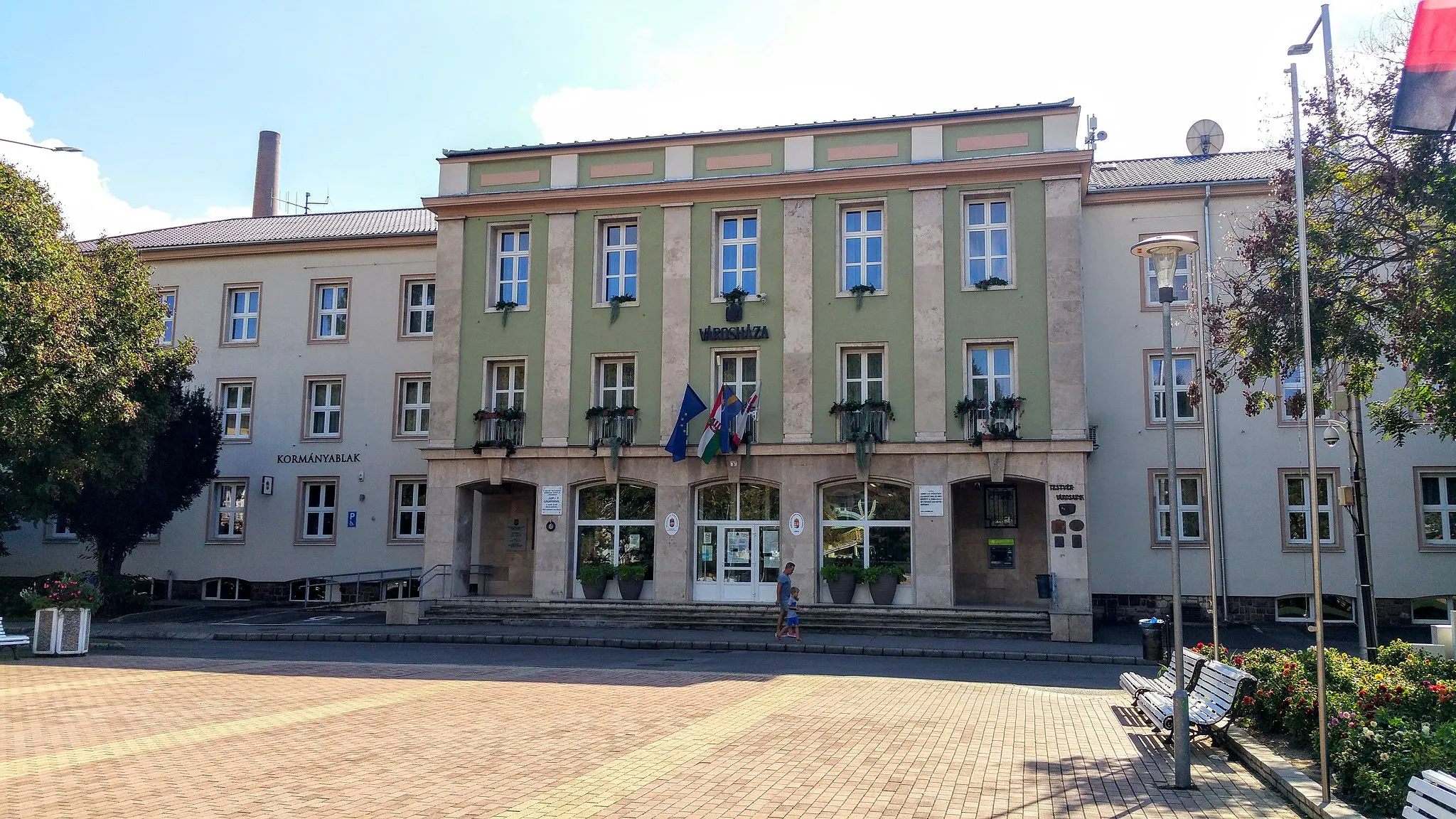
Szentlőrinc is a town located in the Dél-Dunántúl region of Hungary. From the perspective of a road and gravel cyclist, Szentlőrinc offers enjoyable cycling options. The surrounding area features rolling hills and picturesque landscapes, providing opportunities for scenic rides. While Szentlőrinc itself may not be home to any famous cycling-related spots or well-known climbs, it serves as a convenient base for exploring the cycling routes in the Dél-Dunántúl region. Overall, Szentlőrinc ranks as a 3 in terms of cycling from a cyclist's perspective.8 km
8 km
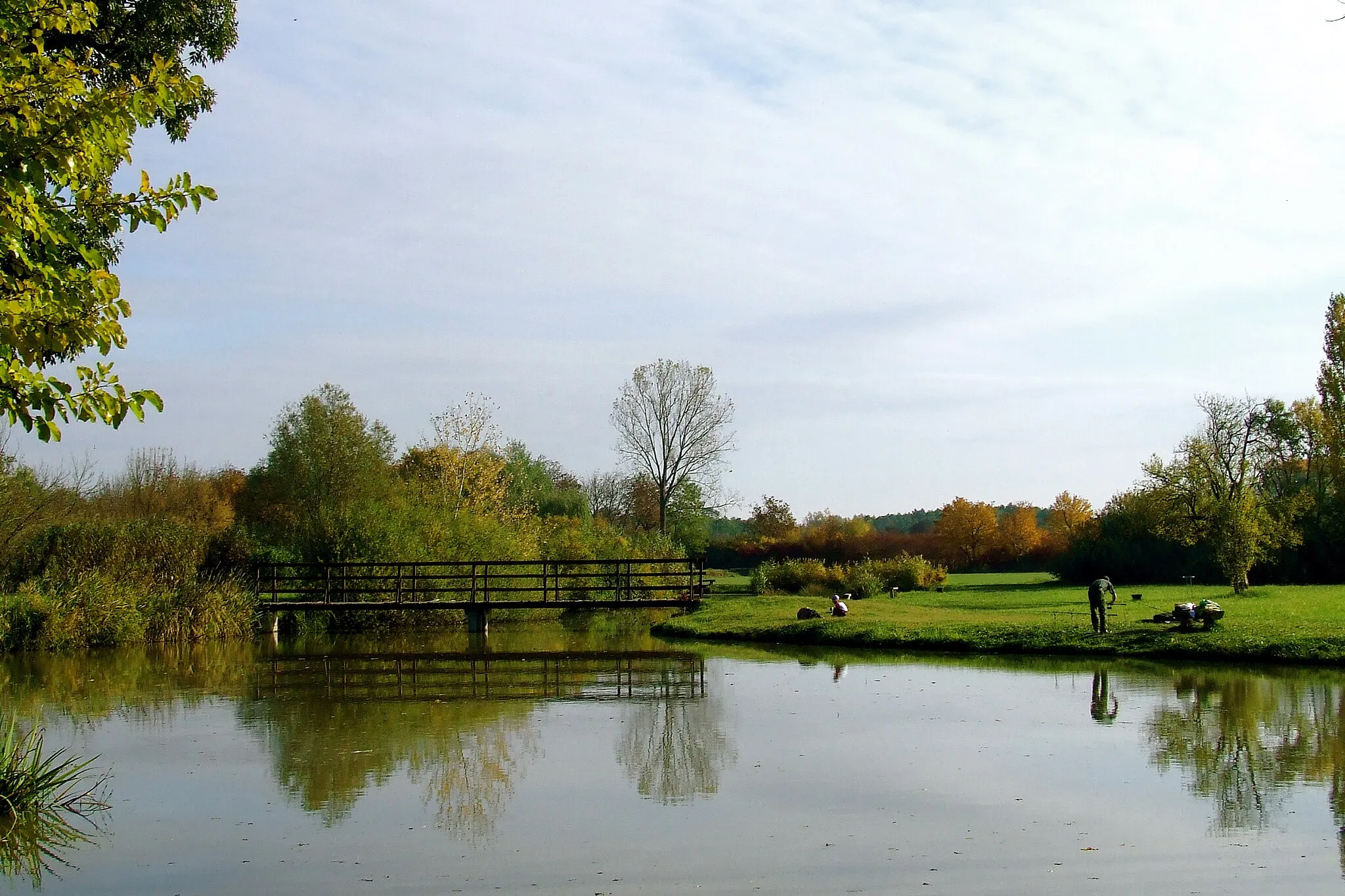
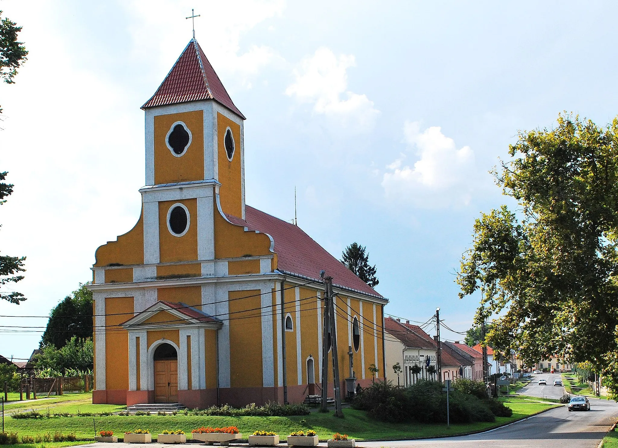
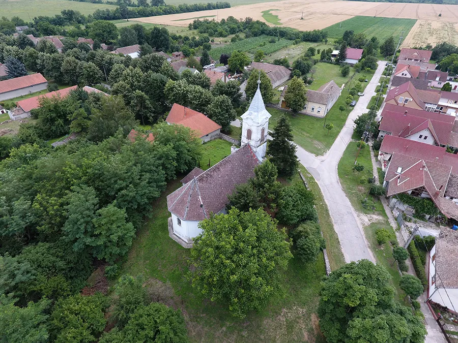
BükkösdVillageBükkösd: Explore the town's historical sites, including the Roman Catholic Church and the Kistűzködés Exhibition House.
27 km
27 km
TormásVillageTormás: Admire the beautiful landscapes and the breathtaking views from the Tormás hill.
48 km
48 km
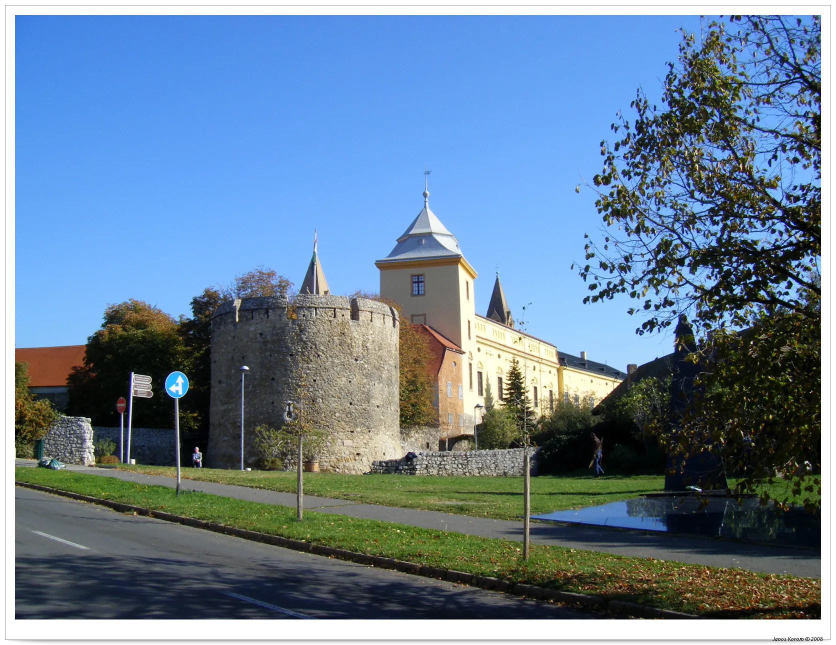
KishajmásVillageKishajmás: Visit the beautiful Kishajmás Castle and enjoy a picnic in the nearby park.
59 km
59 km
HetvehelyVillageHetvehely: Cycle through the vineyards and discover the flavors of local wines.
71 km
71 km
Halom-hegy339 mPeakHalom-hegy: Enjoy the peaceful surroundings and panoramic views from the Halom-hegy hill.
86 km
86 km
Finish: Szentlőrinc City centerSzentlőrinc: Rolling hills and picturesque landscapes
Cycling routes nearby: