Mountain Challenge
A gravel cycling route starting from Raheny
Conquer the mountains on this challenging gravel route
Map
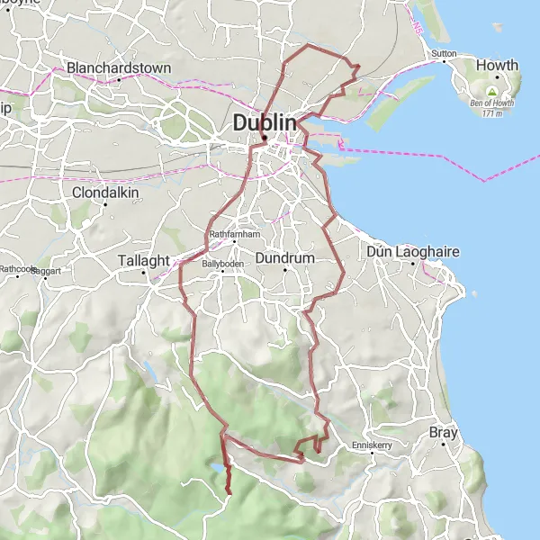
Take on the ultimate mountain challenge on this gravel road cycling route near Raheny. With a total ascent of 1086 meters and a distance of 78 kilometers, it offers a grueling climb and an unforgettable experience. Highlights include Sandymount, Glencullen, and Montpelier Hill. This route is suitable for experienced cyclists looking for an epic adventure in the Dublin mountains.
gravel
78 km
1086 m
Savage
Route profile
Highlights on the route
0 km
0 km
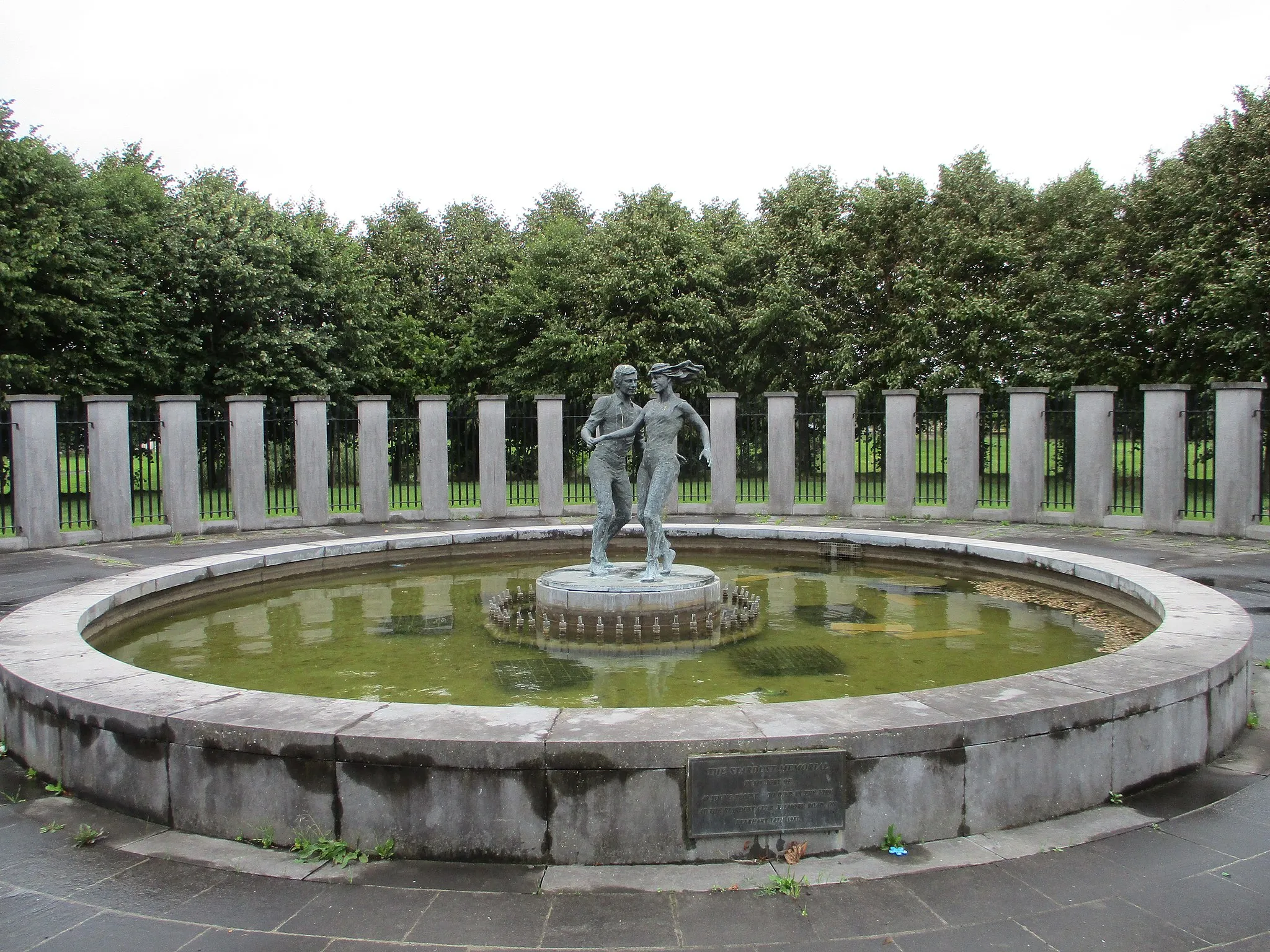
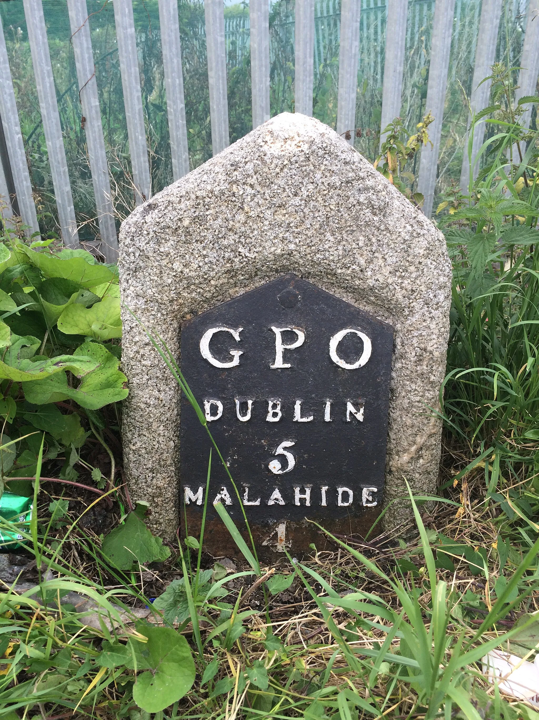
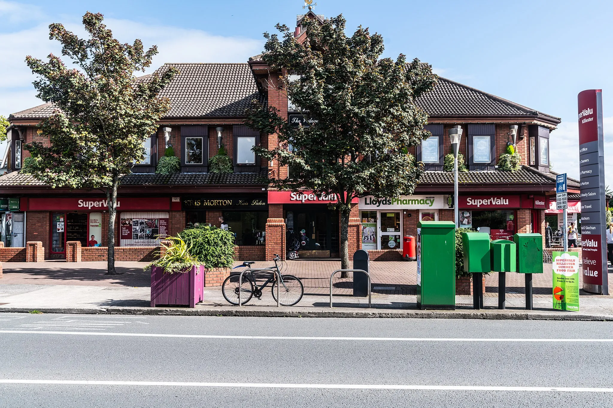
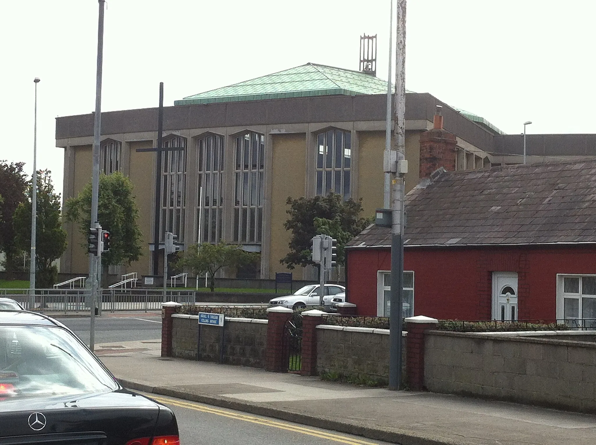
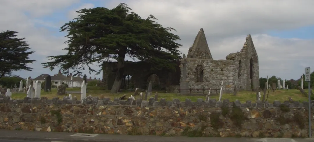
Start: Locality centerRaheny: Discover Raheny's urban and natural attractions on two wheels.
Raheny is a locality located in the Eastern and Midland region of Ireland. Cyclists will find a mix of urban and suburban roads in this area, offering a decent cycling experience. While not particularly known for cycling-related landmarks or climbs, Raheny provides accessibility to nearby attractions such as St. Anne's Park and Bull Island. These locations can be explored by bike, adding variety to the cycling routes. Overall, Raheny is a satisfactory location for cyclists seeking a combination of urban and natural environments for their rides.10 km
10 km
SandymountSub-urbDiscover the scenic area of Sandymount, renowned for its beautiful coastal views.
26 km
26 km
GlencullenVillageTake on the challenging climb of Glencullen, known for its steep gradients and stunning vistas.
32 km
32 km
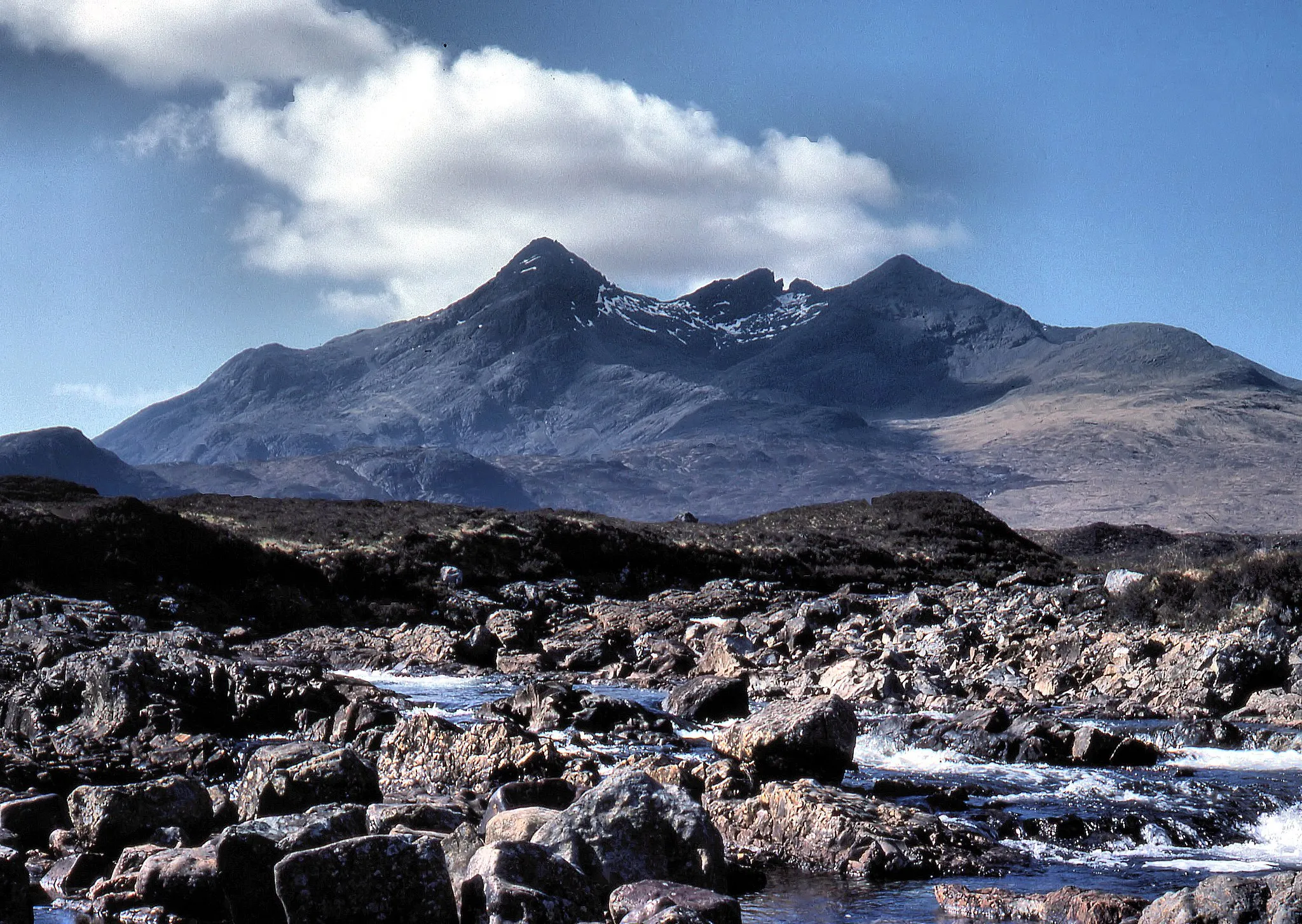
Prince William's Seat553 mPeakReach the summit of Prince William's Seat, offering breathtaking panoramic views of the surrounding mountains.
54 km
54 km
Montpelier Hill383 mPeakConquer the famous Montpelier Hill, also known as the Hellfire Club, and enjoy awe-inspiring views from the top.
68 km
68 km
DublinCityCycle through Dublin, experiencing the bustling city streets and vibrant atmosphere.
70 km
70 km
Ericsson SkylineViewpointExperience the iconic Ericsson Skyline, offering panoramic views of Dublin's cityscape, on this challenging mountain route.
77 km
77 km
CoolockSub-urbExplore Coolock, a serene neighborhood with beautiful parks and recreational areas along the way.
78 km
78 km
Finish: Locality centerRaheny: Discover Raheny's urban and natural attractions on two wheels.
Cycling routes from Raheny:
Cycling routes nearby: