Bardonecchia - Colle dell'Échelle
A road cycling route starting from Bardonecchia
A road route with a challenging climb up to Colle dell'Échelle.
Map
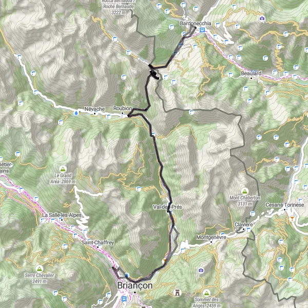
This road cycling route starting from Bardonecchia features a total ascent of 1487 meters over a distance of 69 kilometers. The highlight of this route is the challenging climb up to Colle dell'Échelle, which reaches an altitude of 1762 meters. The difficulty level of this route is rated as 3 out of 5, making it suitable for well-trained cyclists. The epicness rating is 3 out of 5, as the route offers scenic landscapes but is not considered a legendary climb.
road
69 km
1487 m
Tough
Route profile
Highlights on the route
0 km
0 km
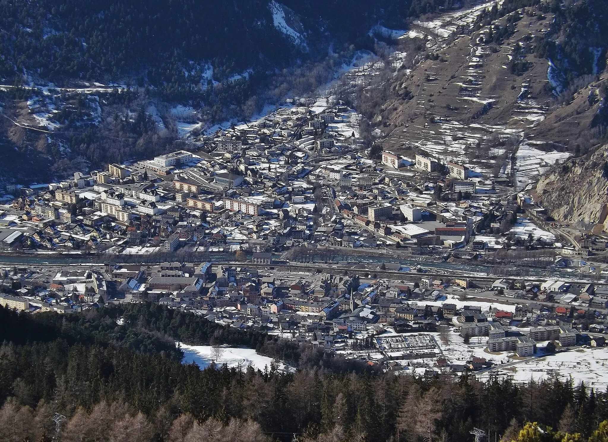
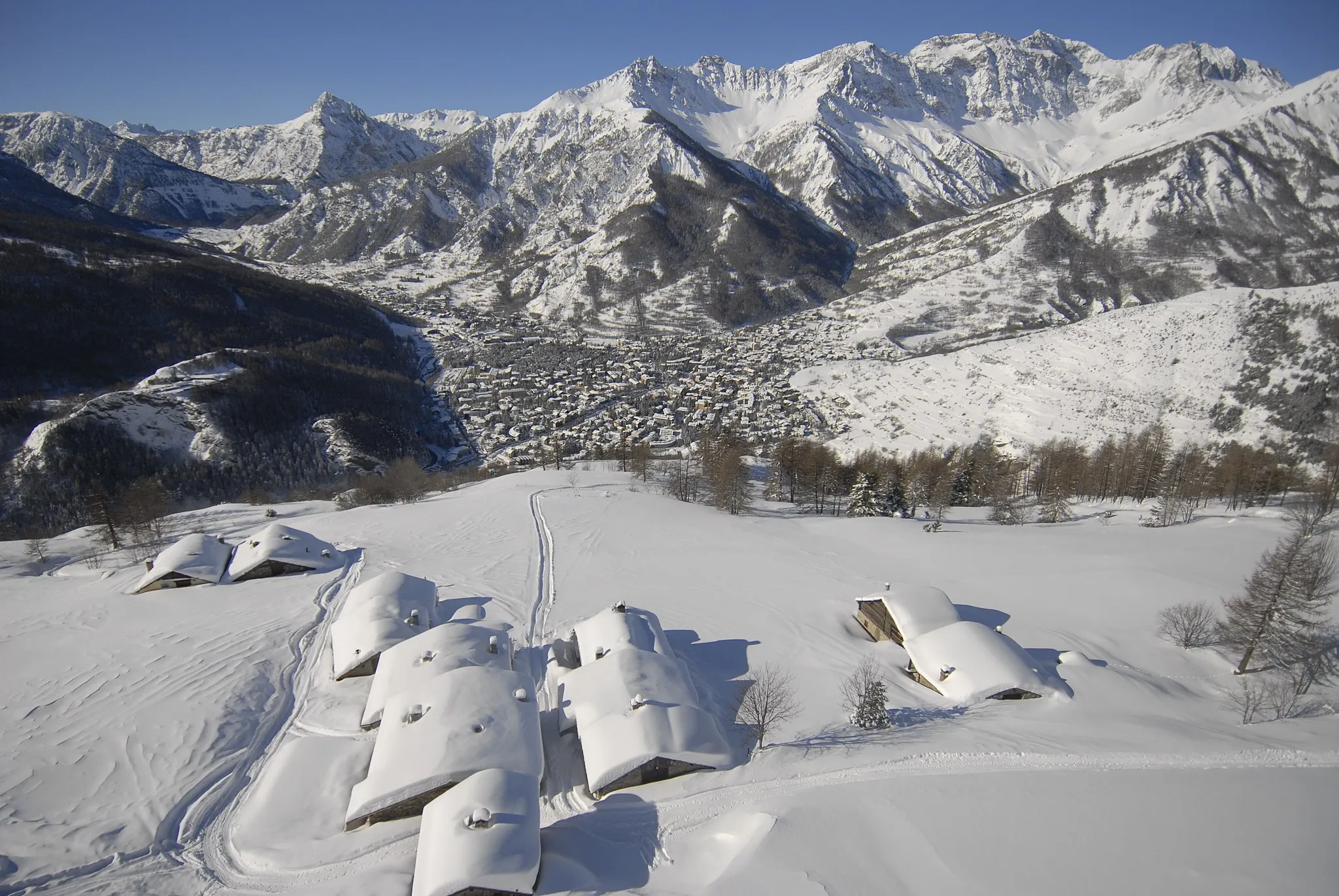
Start: Bardonecchia Village centerBardonecchia: Thrilling cycling experience in the mountainous surroundings of Bardonecchia.
Located in the Piemonte region of Italy, Bardonecchia is a popular destination for road and gravel cyclists. The town is surrounded by picturesque mountains, offering breathtaking views and challenging climbs. Cyclists visiting Bardonecchia can explore the famous climb of Col du Mont Cenis, which has been featured in several professional cycling races. Furthermore, Bardonecchia has cycling-friendly infrastructure, including bike rental shops, repair facilities, and dedicated cycling trails. With its stunning scenery and cycling opportunities, Bardonecchia is a must-visit destination for cyclists of all levels.0 km
0 km
BardonecchiaVillageBardonecchia, the starting point of the route, is a beautiful town in the Piedmont region of Italy.
9 km
9 km
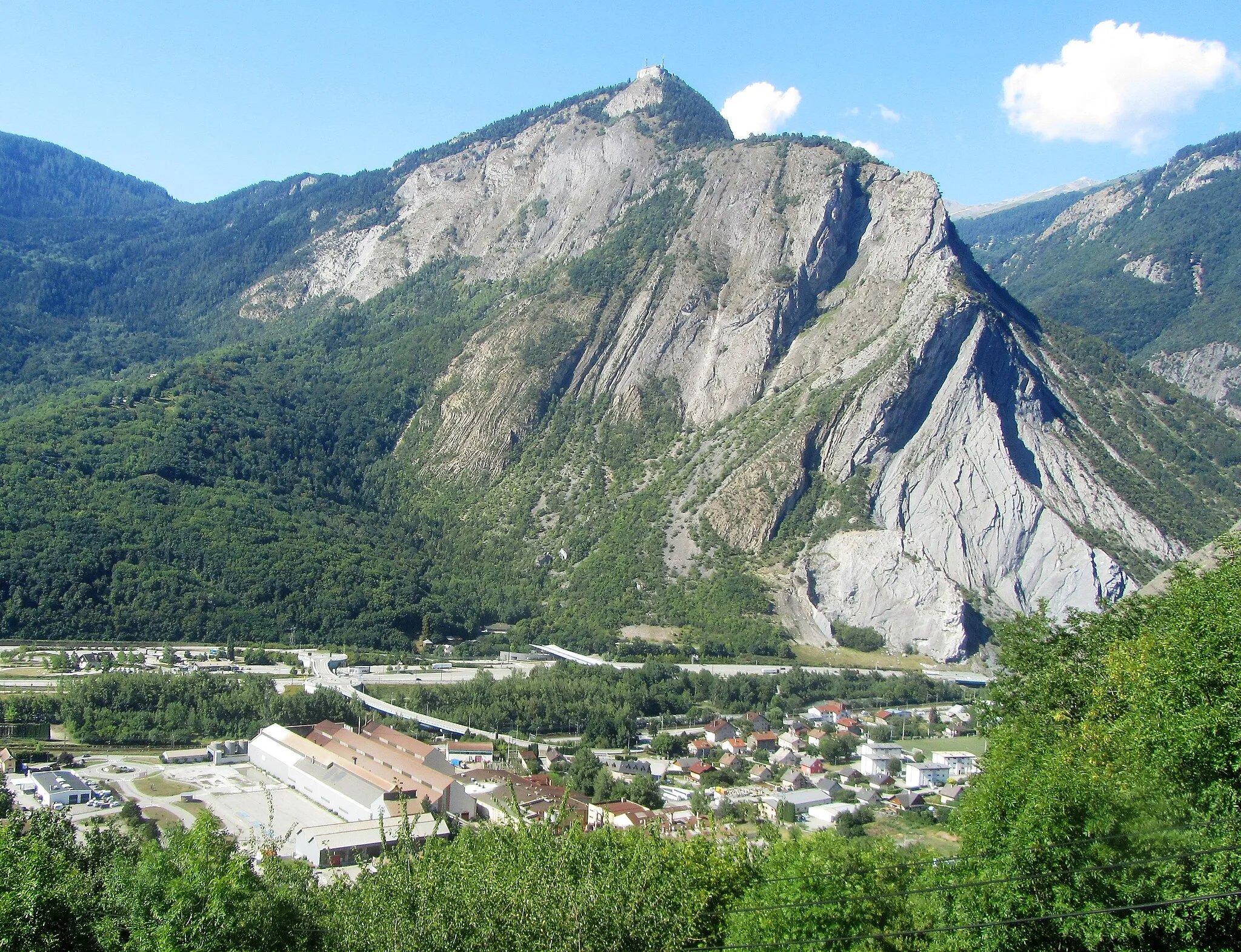
Le Mauvais Pas1779 mMountain PassLe Mauvais Pas is a rocky section of the route that adds an element of excitement and challenge for cyclists.
17 km
17 km
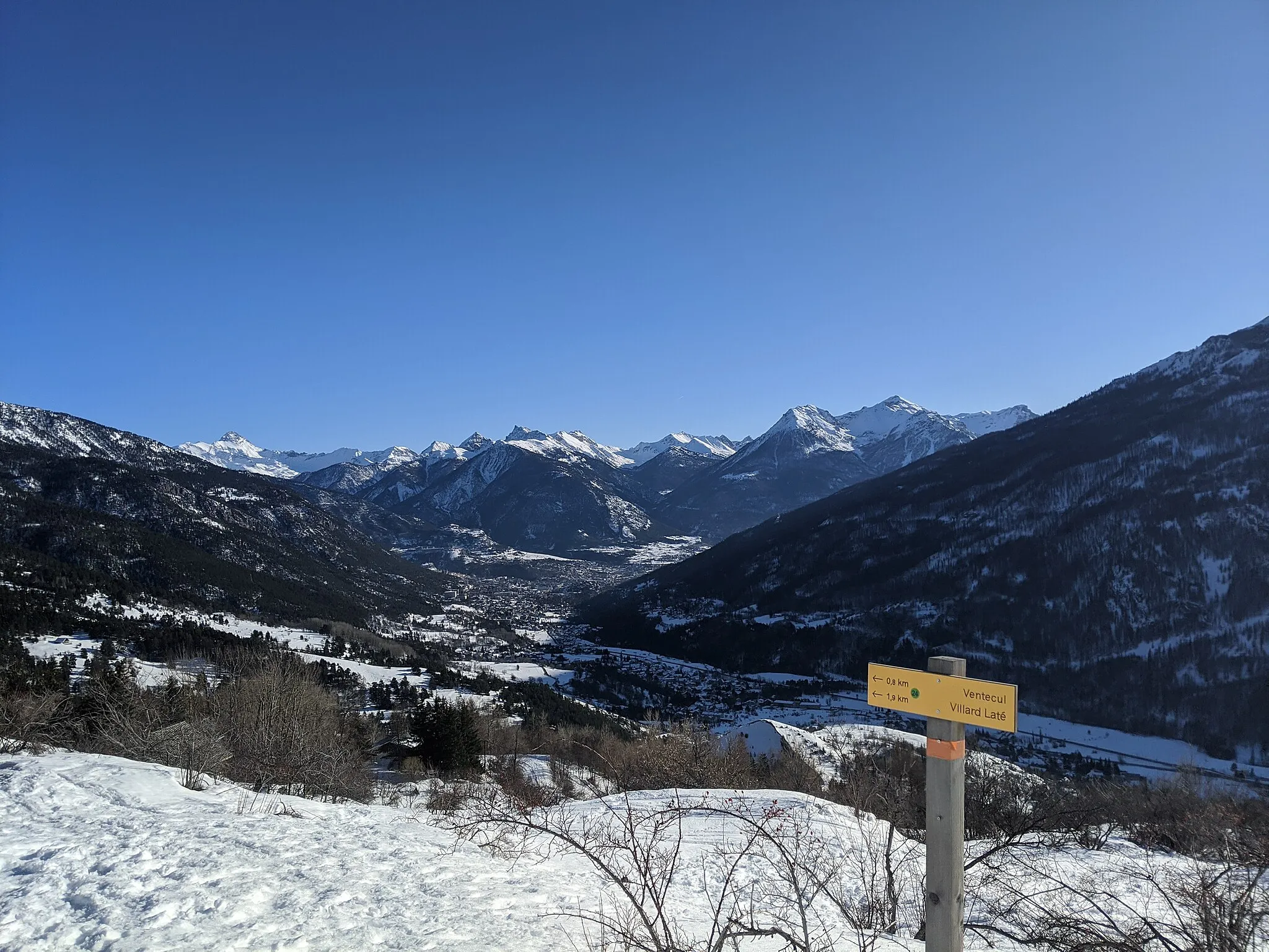
PlampinetHamletPlampinet is a small village that offers a tranquil setting and scenic views of the surrounding mountains.
37 km
37 km
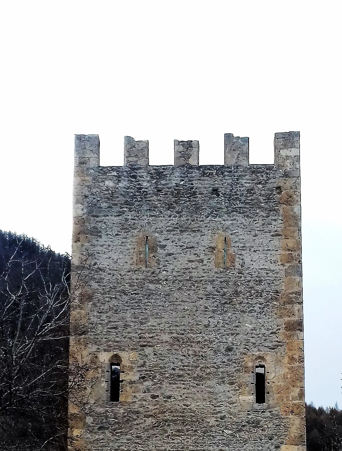
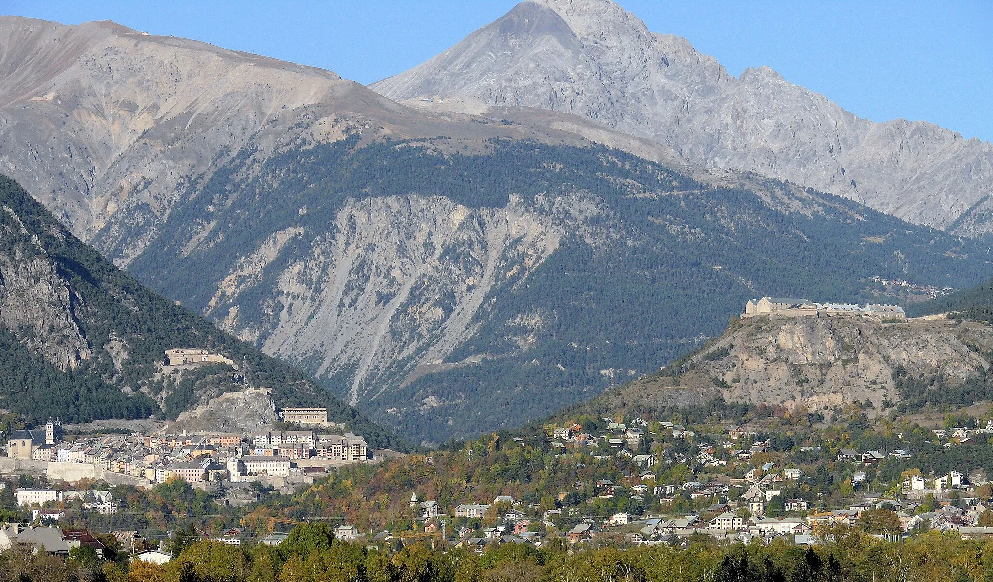
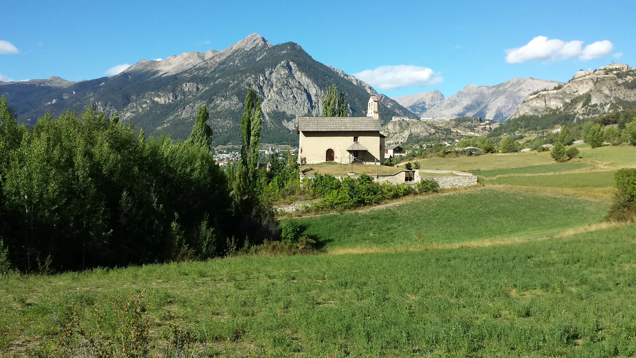
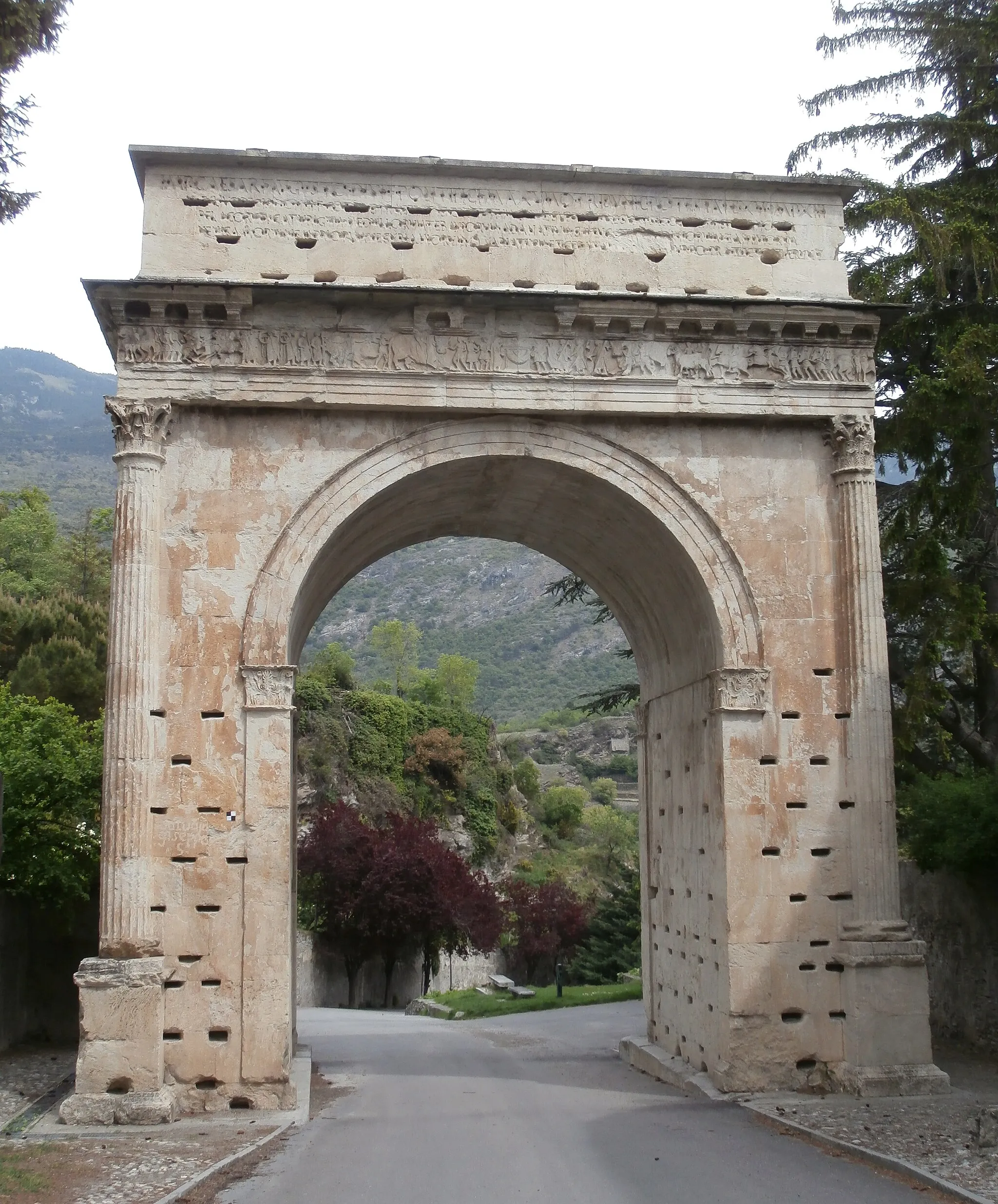
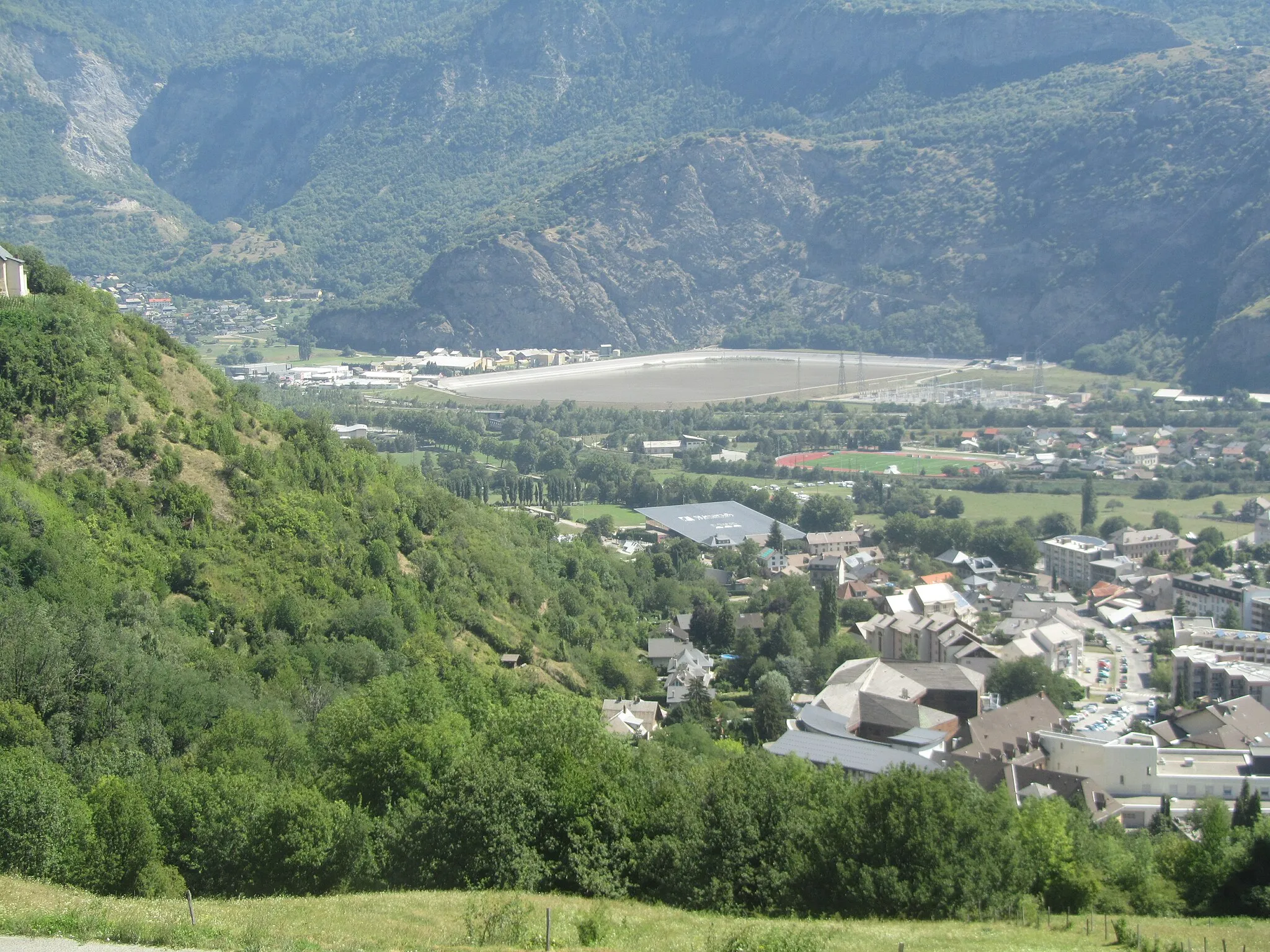
BriançonTownBriançon is a famous fortified town with a rich history and stunning architecture.
45 km
45 km
Val-des-PrésVillageVal-des-Prés is a charming village with traditional mountain houses and beautiful alpine landscapes.
51 km
51 km
Pompe incendie 1890Shelter57 km
57 km
Col de l'Échelle1762 mMountain PassCol de l'Échelle is a mountain pass located on the French-Italian border, offering breathtaking views of the surrounding peaks.
66 km
66 km
MelezetHamletMelezet is a small mountain village with traditional mountain houses and a peaceful atmosphere.
69 km
69 km
Colle della Forca1346 mMountain PassColle della Forca is a mountain pass that provides a challenging climb and rewards cyclists with stunning panoramic views.
69 km
69 km
Finish: Bardonecchia Village centerBardonecchia: Thrilling cycling experience in the mountainous surroundings of Bardonecchia.
Cycling routes from Bardonecchia:
Ultimate Road Challenge: Conquering Colle delle Finestre Gravel Escapade: Cascata del Rio Barracan Gravel Adventure: From Bardonecchia to Monte Crouzore Gravel Adventure: Rochemolles and Bardonecchia Bardonecchia - Colle della Bramata Road Cycling Delight: Bardonecchia and Colle della Forca Bardonecchia - Val-des-Prés Gravel Route Bardonecchia - Colle delle Finestre Gravel Epic Piemonte Road Ride Bardonecchia - Colle dell'Échelle Bardonecchia and the Alpine Chateaux
Cycling routes nearby: