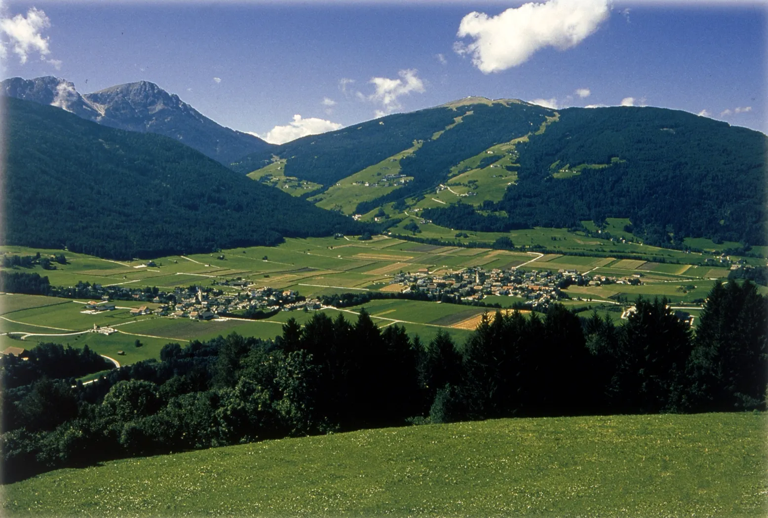
Gravel Adventure from Gais
A gravel cycling route starting from Gais
A thrilling gravel ride in nature's paradise
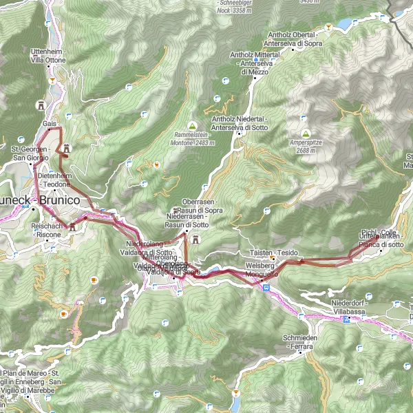
Map
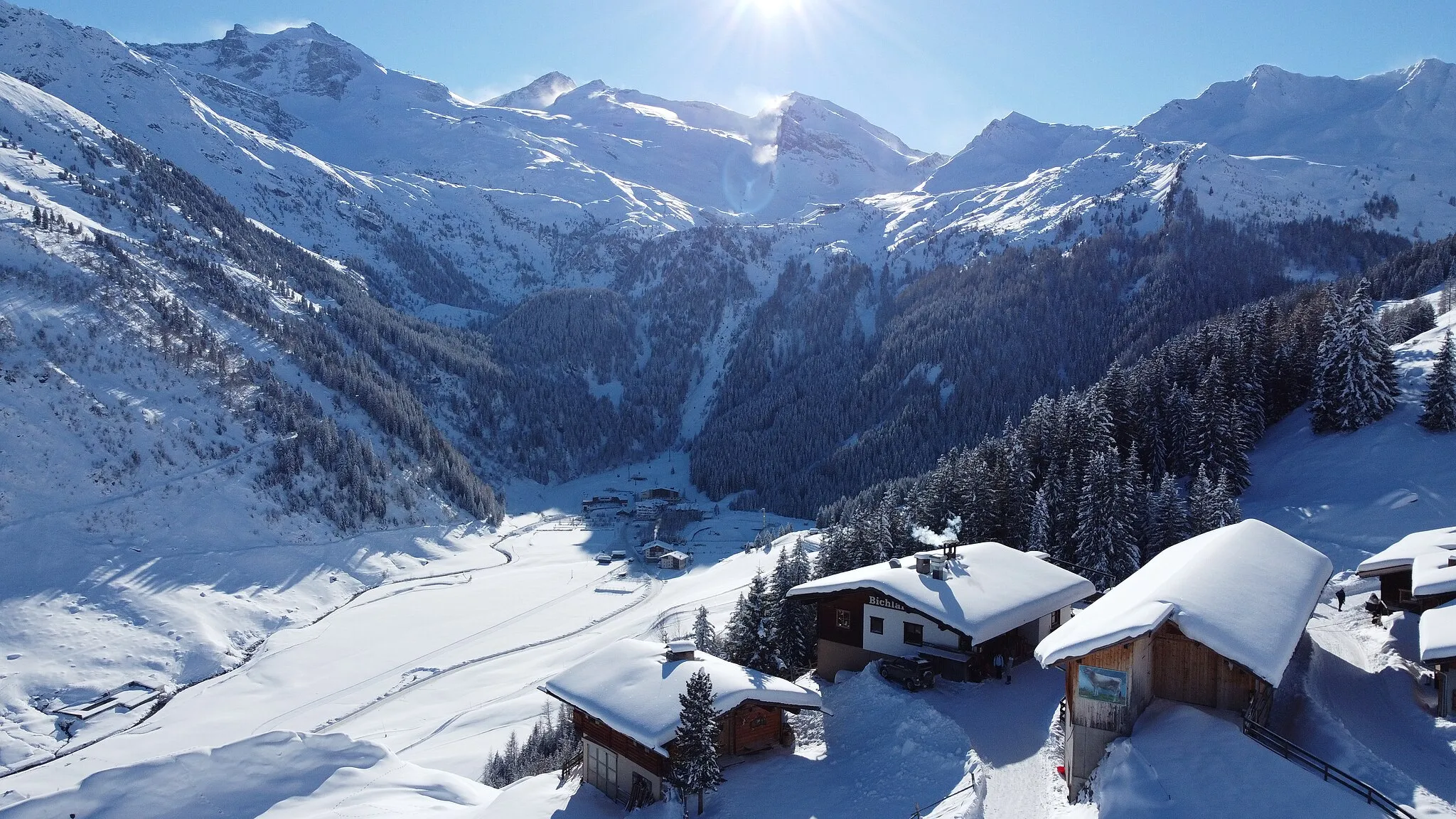
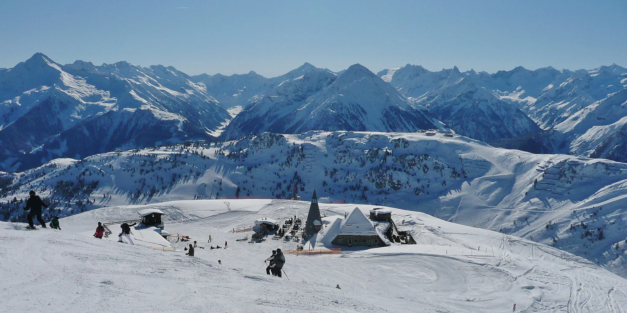
Embark on a gravel adventure starting from Gais that encompasses 1351 meters of ascent over a distance of 59 kilometers. This route takes you through breathtaking landscapes and charming villages, providing an unforgettable experience for gravel enthusiasts. With a moderate difficulty level, it is ideal for well-trained amateur cyclists. The epicness of this route is rated as 4, making it truly memorable.
gravel
59 km
1351 m
Tough
Route profile
Highlights on the route
0 km
0 km
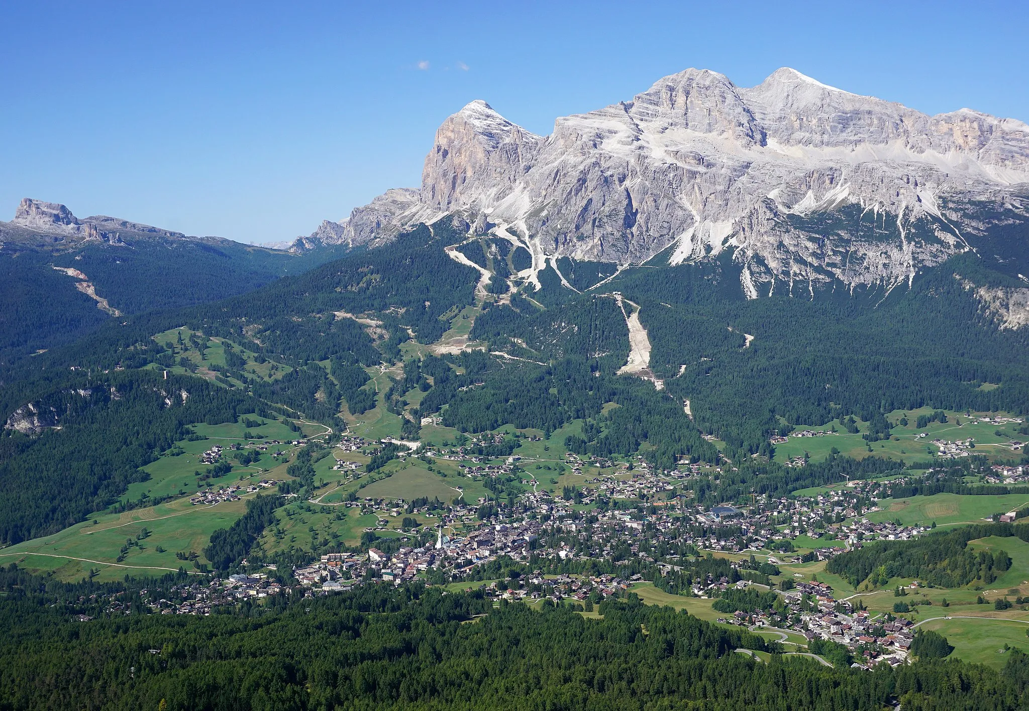
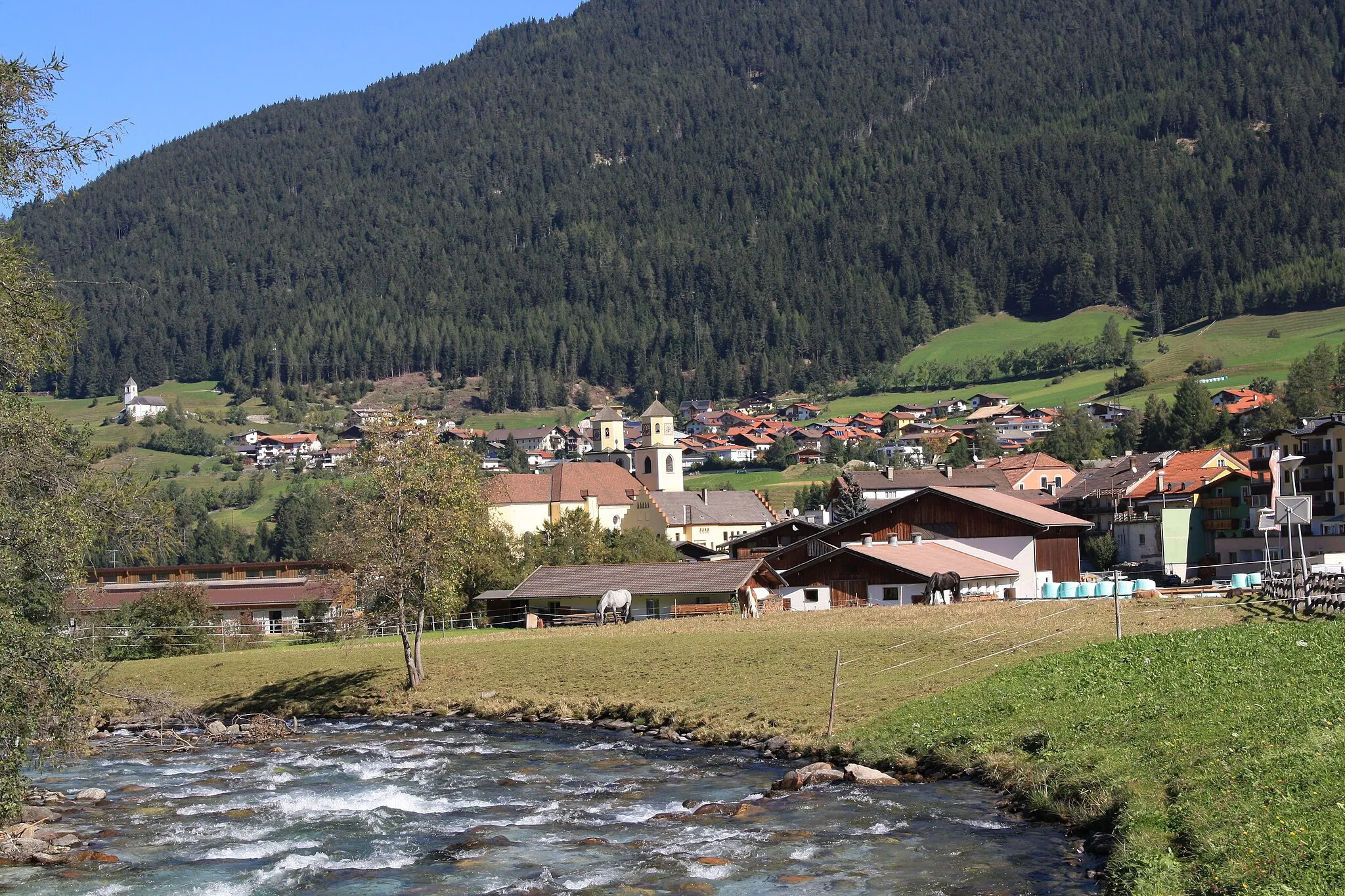
Start: Gais Village centerGais: Gais: Discover the Cycling Delights of Provincia Autonoma di Bolzano/Bozen
Gais, situated in Provincia Autonoma di Bolzano/Bozen, Italy, is a wonderful locality for cyclists seeking a unique riding experience. The region boasts well-maintained roads with gentle inclines, making it perfect for leisurely rides and gravel adventures. Additionally, Gais is close to Brunico, a popular cycling destination known for its challenging climbs and spectacular landscapes. Cyclists visiting Gais can look forward to exploring these amazing routes and immersing themselves in the beauty of Provincia Autonoma di Bolzano/Bozen.14 km
14 km
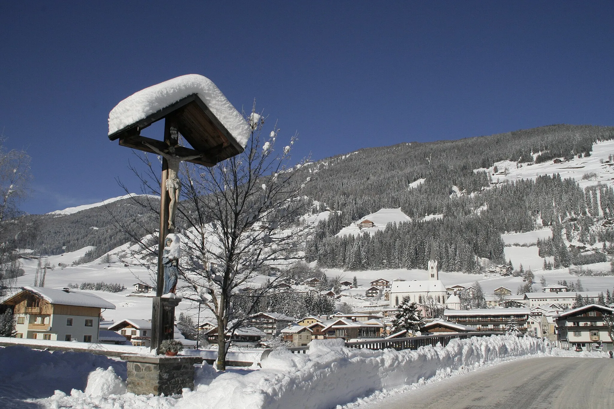
Niederrasen - Rasun di SottoVillageExperience the picturesque village of Niederrasen - Rasun di Sotto after covering 14 kilometers on the route.
23 km
23 km
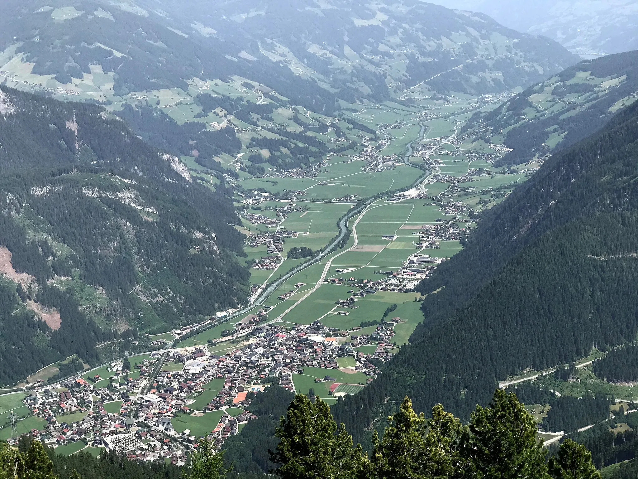
Taisten - TesidoVillageDelight in the beauty of Taisten - Tesido after 23 kilometers of invigorating cycling.
37 km
37 km
Castello Monguelfo - Schloss WelsbergCastleVisit the historic castle of Castello Monguelfo - Schloss Welsberg at the 37-kilometer mark.
46 km
46 km
Niederolang - Valdaora di SottoVillagePass through the scenic Niederolang - Valdaora di Sotto after cycling 46 kilometers.
55 km
55 km
Kühbergl - Monte Spalliera1013 mPeakTake a break near Kühbergl - Monte Spalliera after covering 55 kilometers of idyllic countryside.
59 km
59 km
Finish: Gais Village centerGais: Gais: Discover the Cycling Delights of Provincia Autonoma di Bolzano/Bozen
Cycling routes from Gais:
Cycling routes nearby: