Ultimate Gravel Challenge
A gravel cycling route starting from Al
Experience the ultimate gravel adventure near Ål
Map

For those seeking an ultimate gravel adventure, this 113 km route near Ål offers a variety of challenging terrain and stunning landscapes. With an ascent of 2006 meters, cyclists will encounter the iconic Ulshagenatten, Røgjin, Geiteberget, and Sundreberget highlights along the way. Discover the beauty of Ål and push your limits on this ultimate gravel challenge.
gravel
113 km
2006 m
Tough
Route profile
Highlights on the route
0 km
0 km
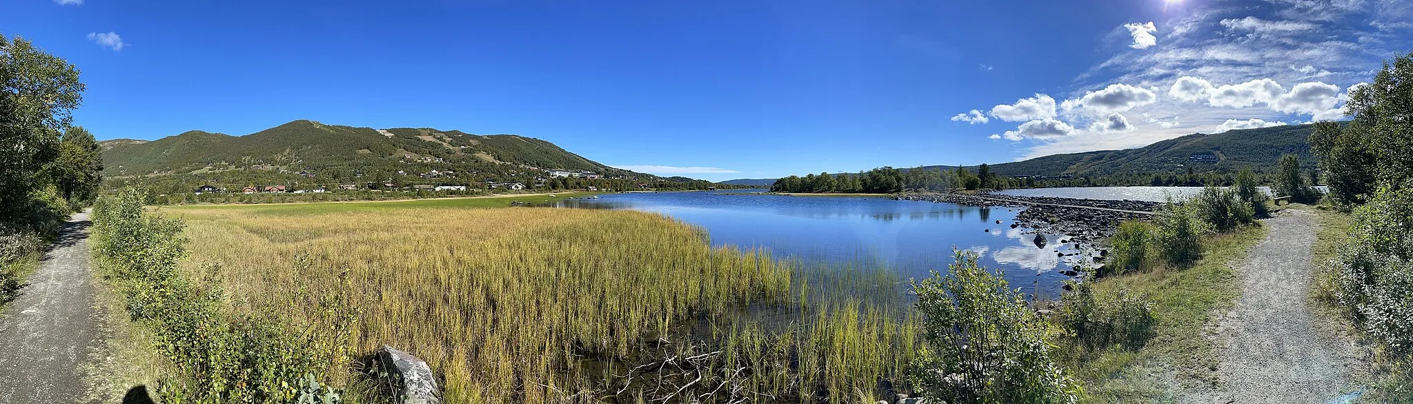
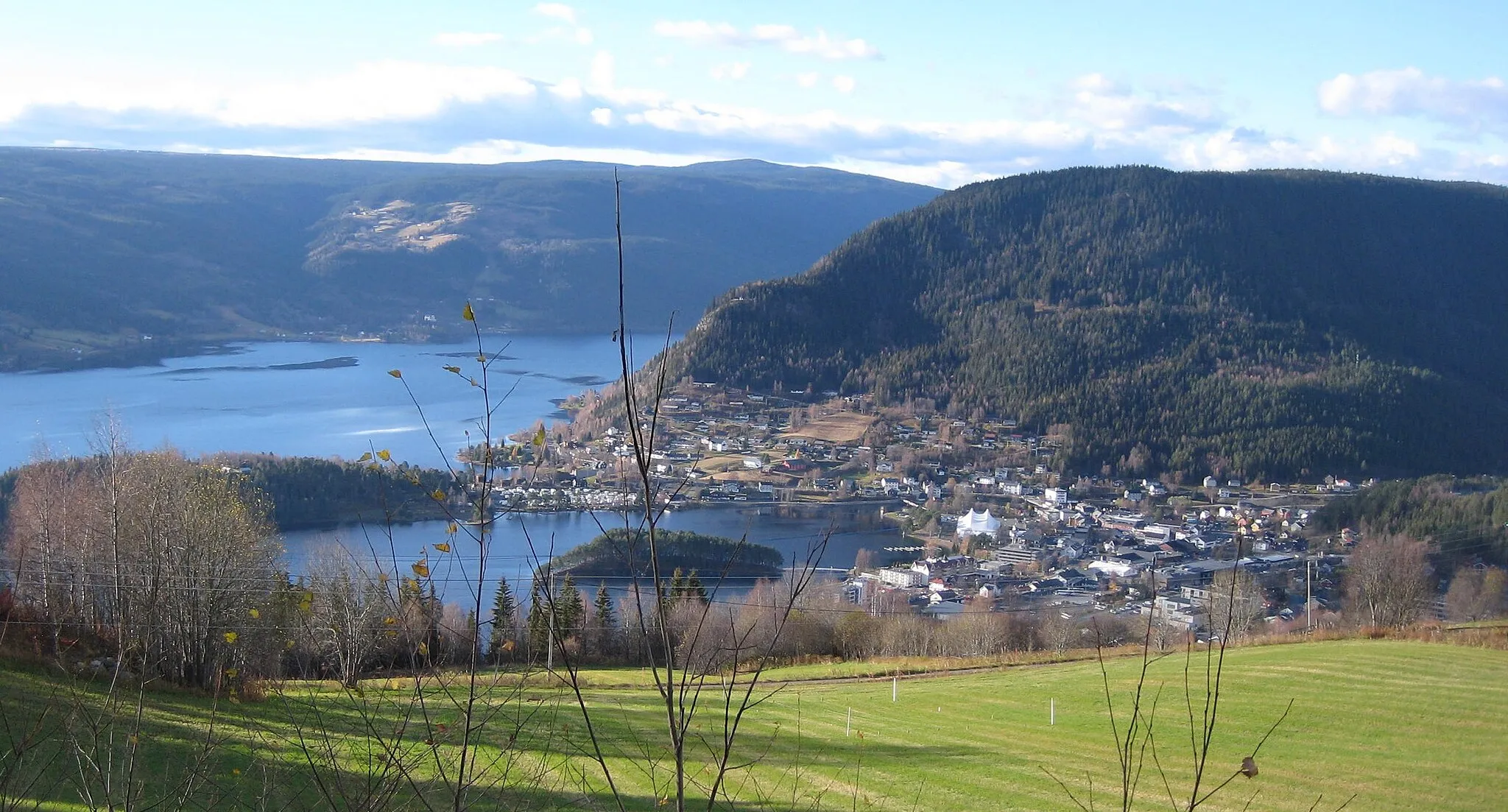
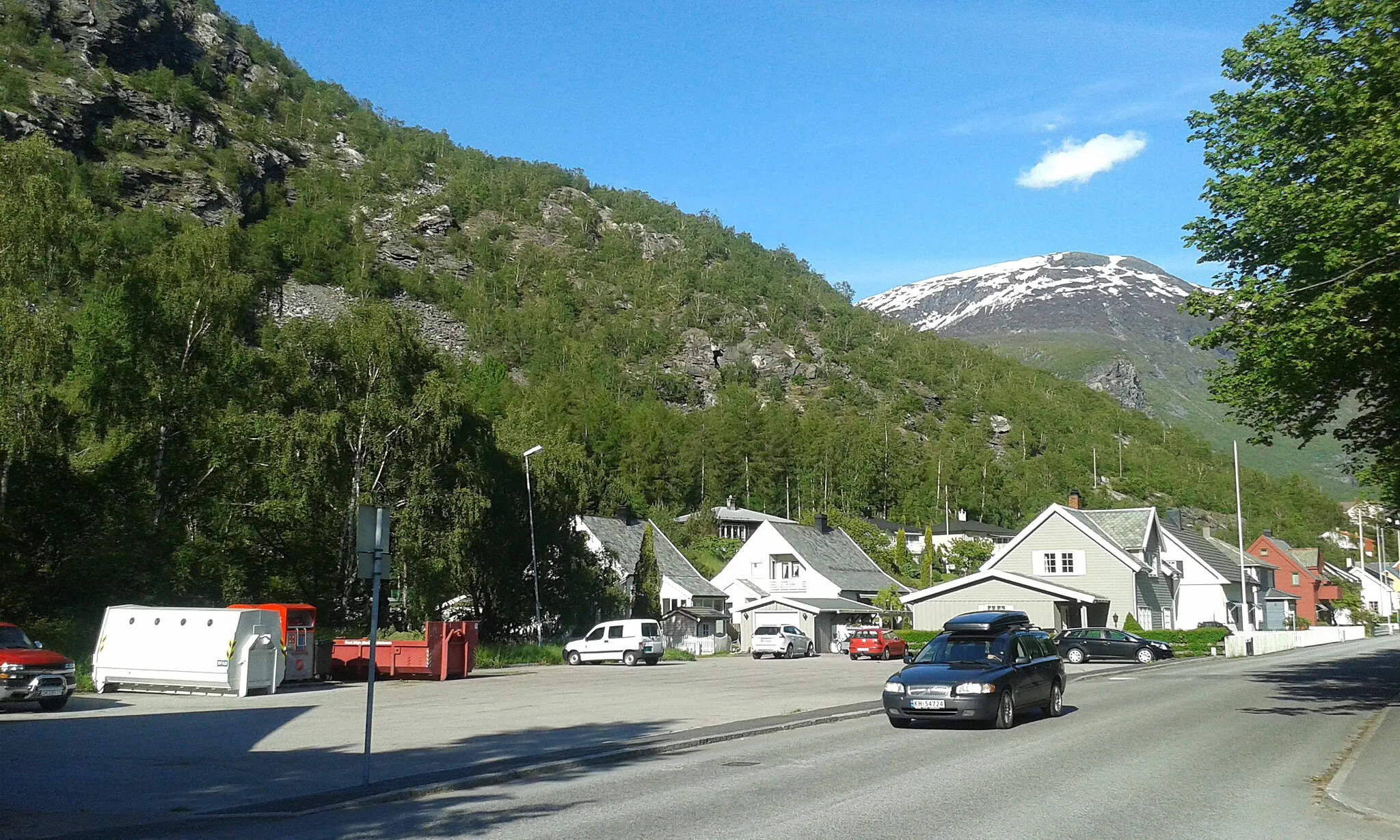
Start: Ål Village centerÅl: Discover the scenic beauty and challenging climbs of Ål, including the iconic Hallingnatten ascent.
Ål is a small locality situated in the Oslo og Viken region of Norway. From the perspective of a cyclist, Ål offers an array of road and gravel cycling routes. The roads in this area are generally well-maintained, offering smooth riding surfaces and stunning views of the surrounding countryside. There are also numerous gravel paths and trails that traverse the Norwegian landscape, providing riders with an off-road cycling experience. One famous cycling spot nearby is the climb to Hallingnatten, a challenging ascent known for its stunning vistas at the summit.5 km
5 km
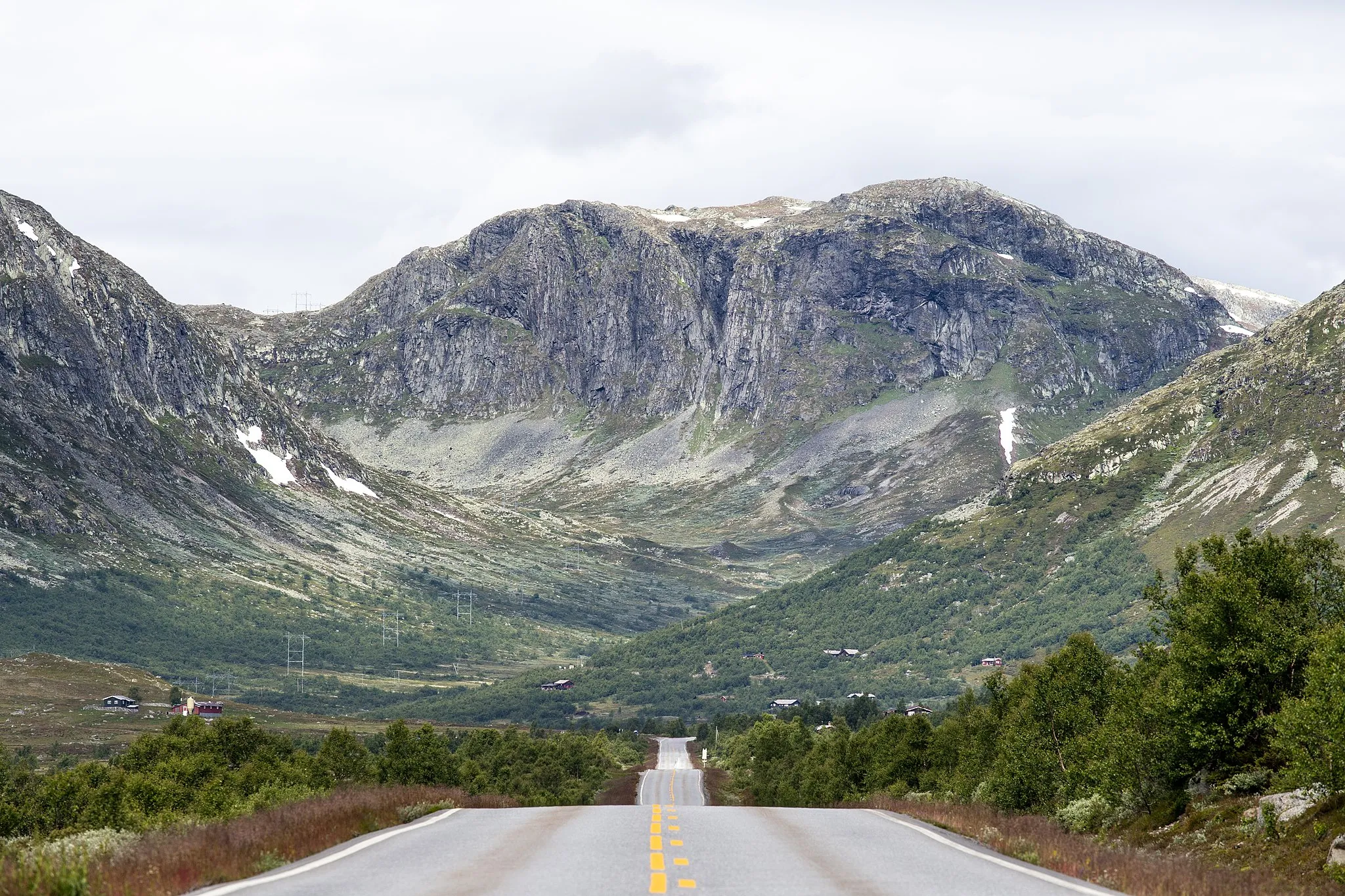
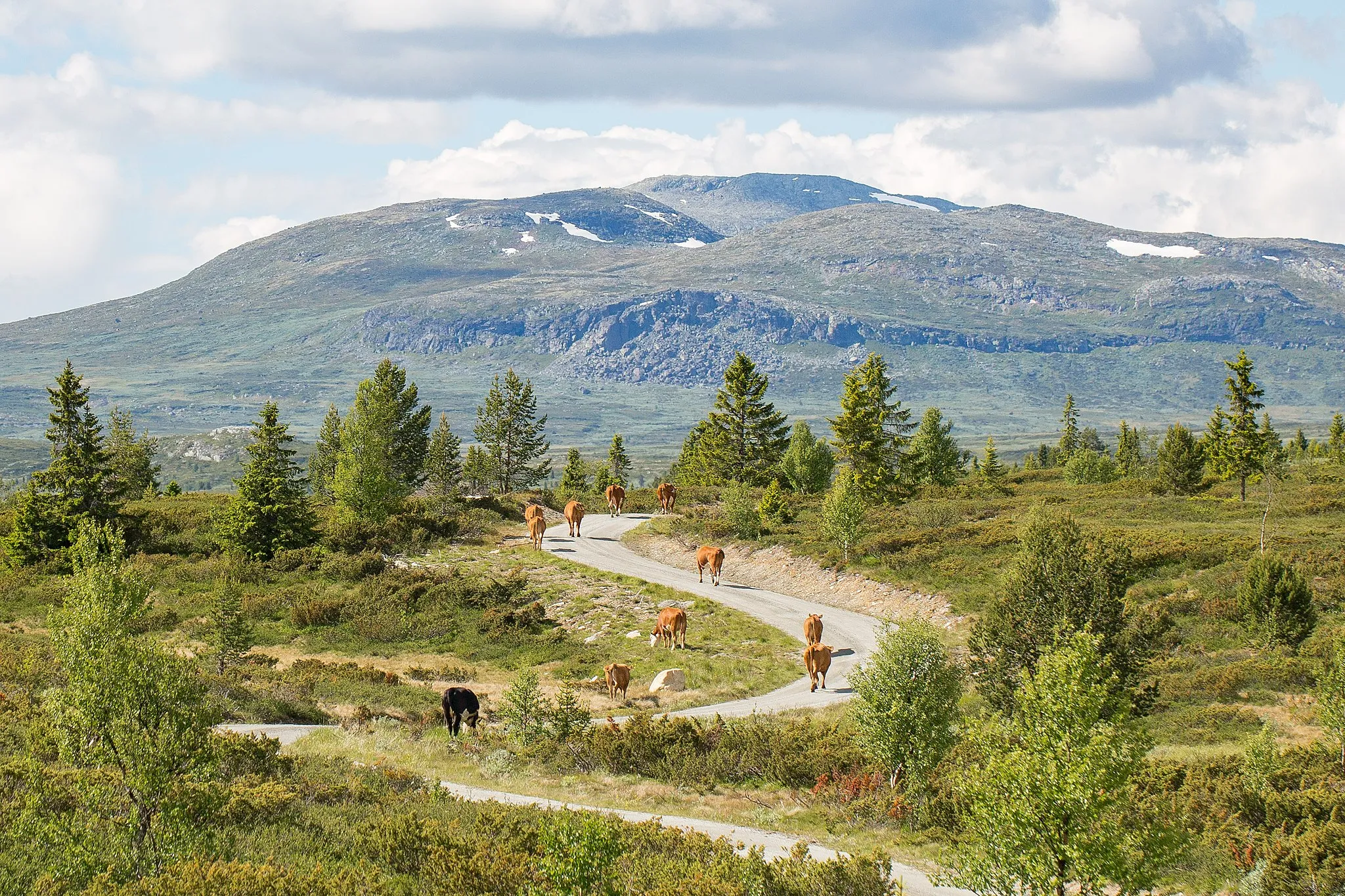
Ulshagenatten673 mPeakReach the summit of Ulshagenatten for breathtaking panoramic views
40 km
40 km
Røgjin1367 mPeakExperience the thrill of Røgjin and its challenging terrain
50 km
50 km
Geiteberget826 mPeakConquer the demanding Geiteberget with its stunning vistas
101 km
101 km
Rikansrudkamben677 mPeakChallenge yourself on the significant climb of Rikansrudkamben
102 km
102 km
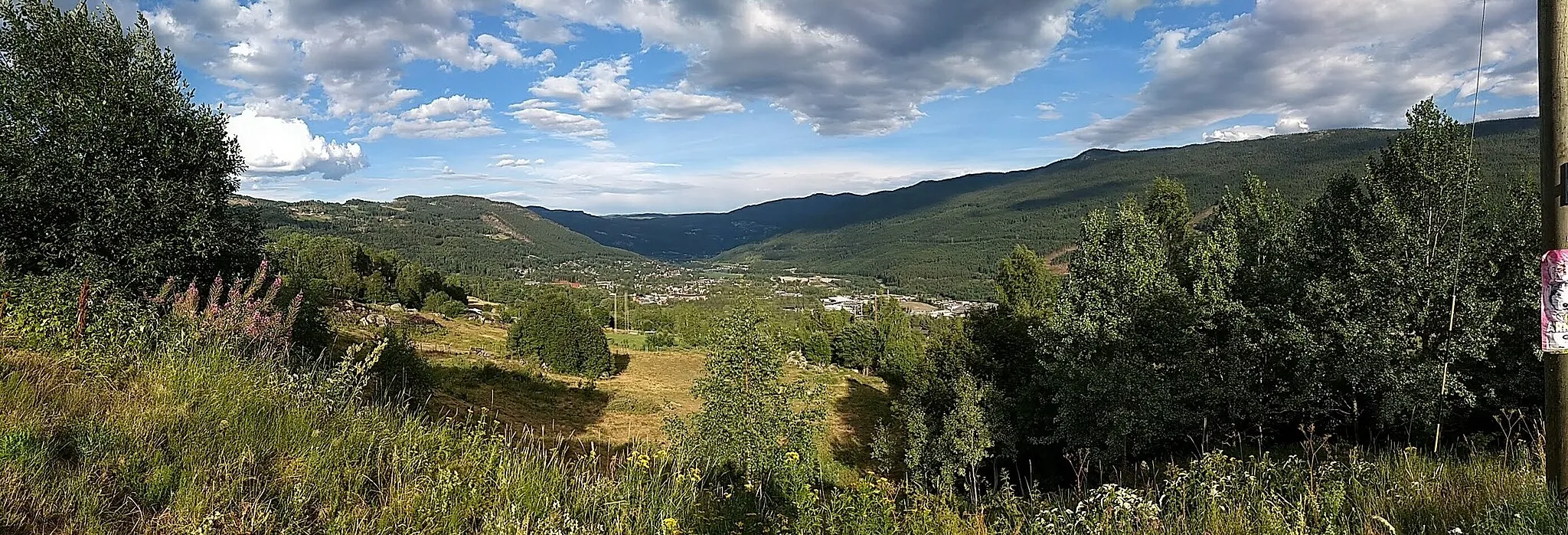
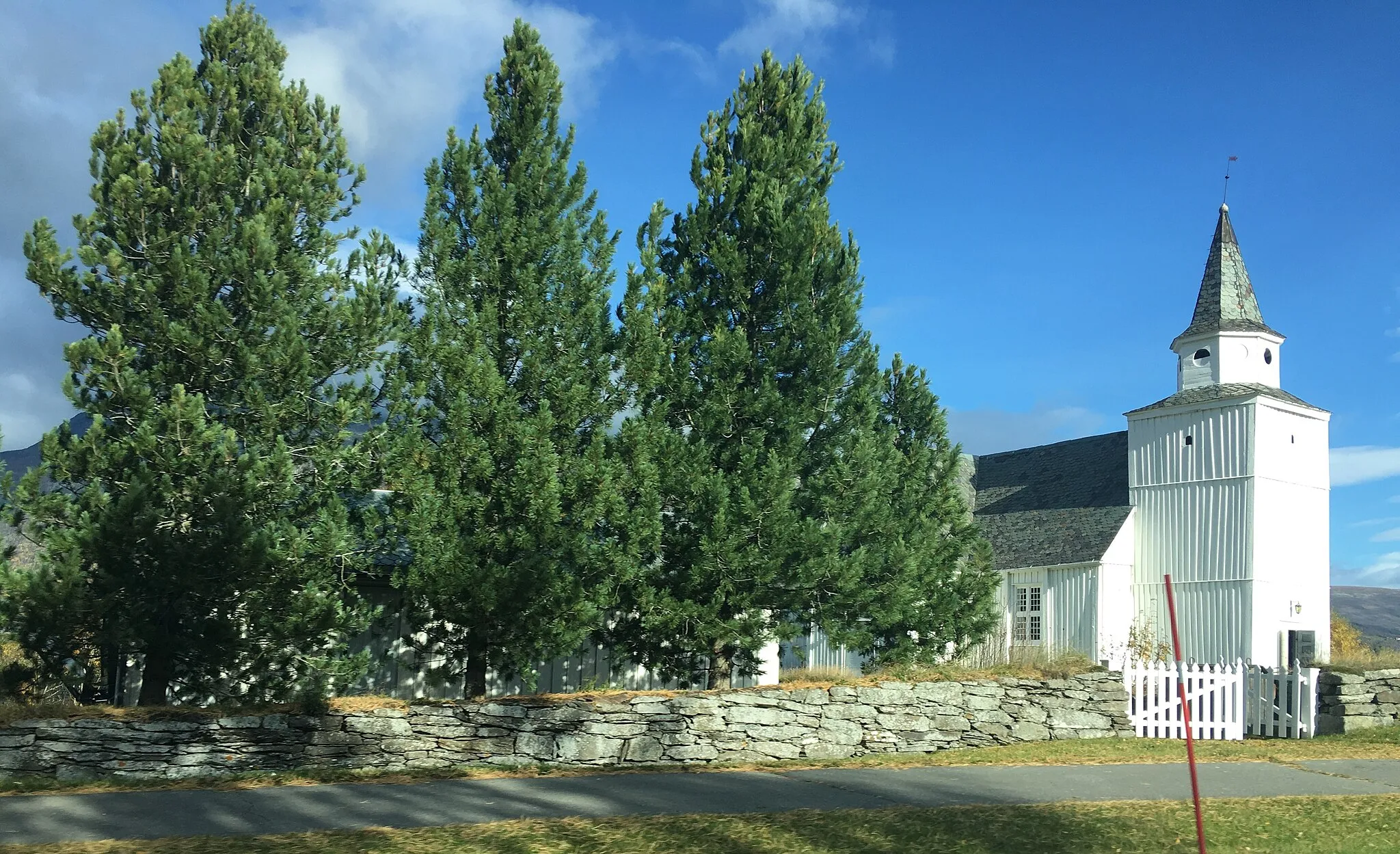
TorpoVillagePass through the historic village of Torpo with its charming wooden buildings
113 km
113 km
Sundreberget713 mPeakReach the epic summit of Sundreberget
114 km
114 km
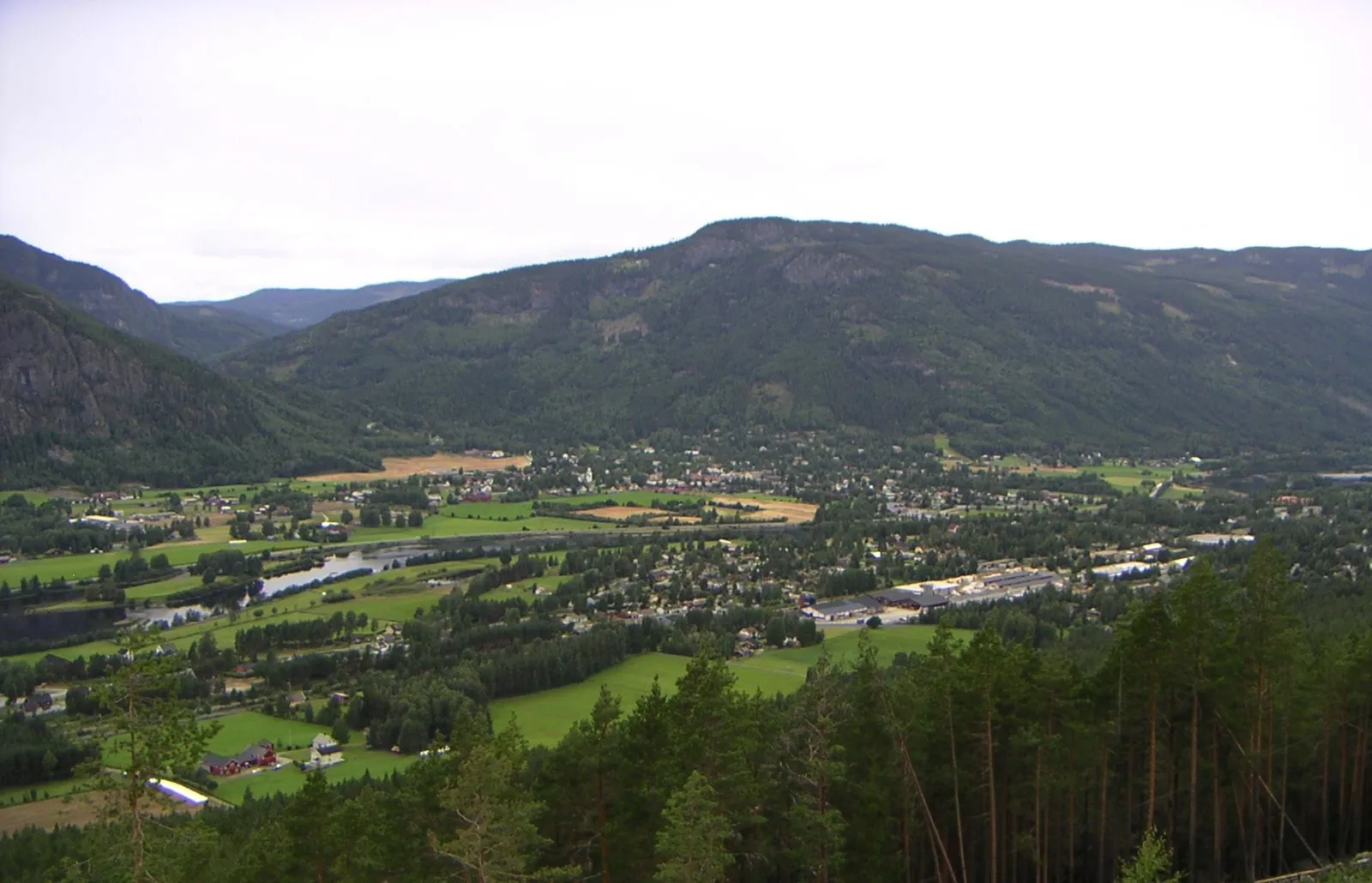
ÅlVillageExplore the charming village of Ål and its picturesque scenery
113 km
113 km
Finish: Ål Village centerÅl: Discover the scenic beauty and challenging climbs of Ål, including the iconic Hallingnatten ascent.
Cycling routes nearby: