Ulshagenatten Loop
A road cycling route starting from Al
Enjoy scenic road cycling around Ulshagenatten
Map
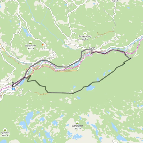
This 34 km road cycling loop near Ål offers a scenic ride around Ulshagenatten. With a moderate ascent of 635 meters, this route is suitable for cyclists of all levels. Highlights of the route include the summit of Ulshagenatten and the historic village of Torpo. Cyclists can also explore Trolltjørnhovda, a hidden gem with stunning views. Enjoy the beauty of Ulshagenatten on this charming road cycling loop.
road
34 km
635 m
Chill
Route profile
Highlights on the route
0 km
0 km
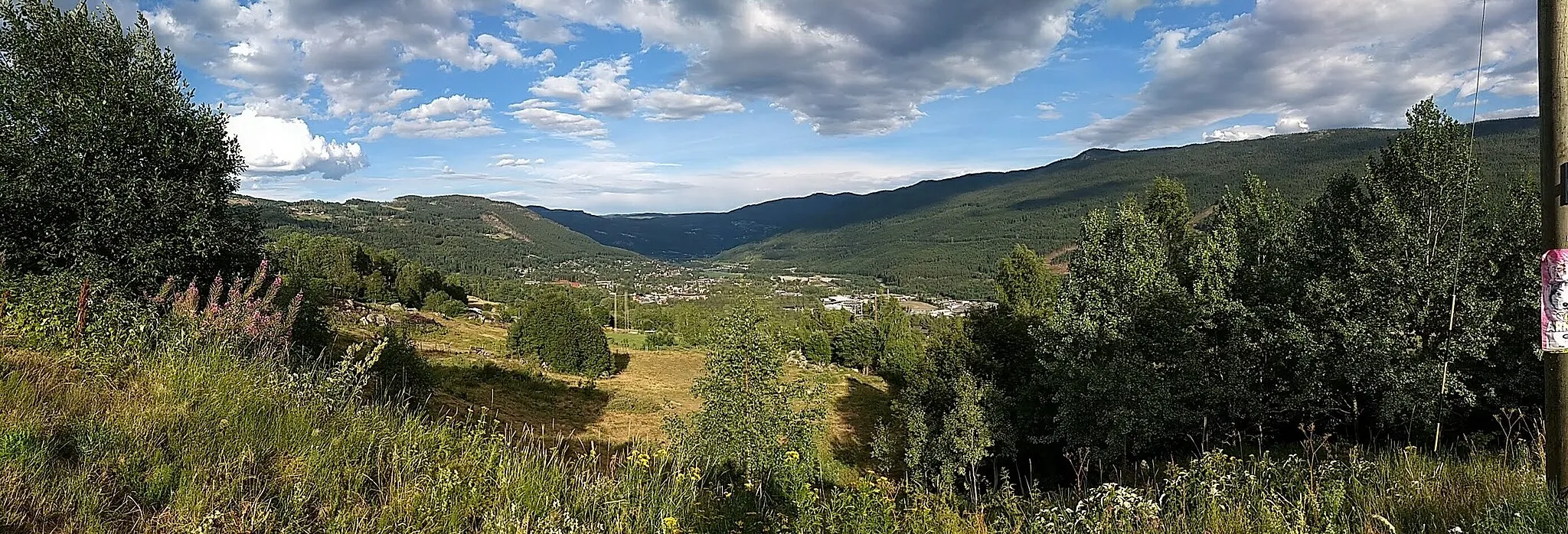
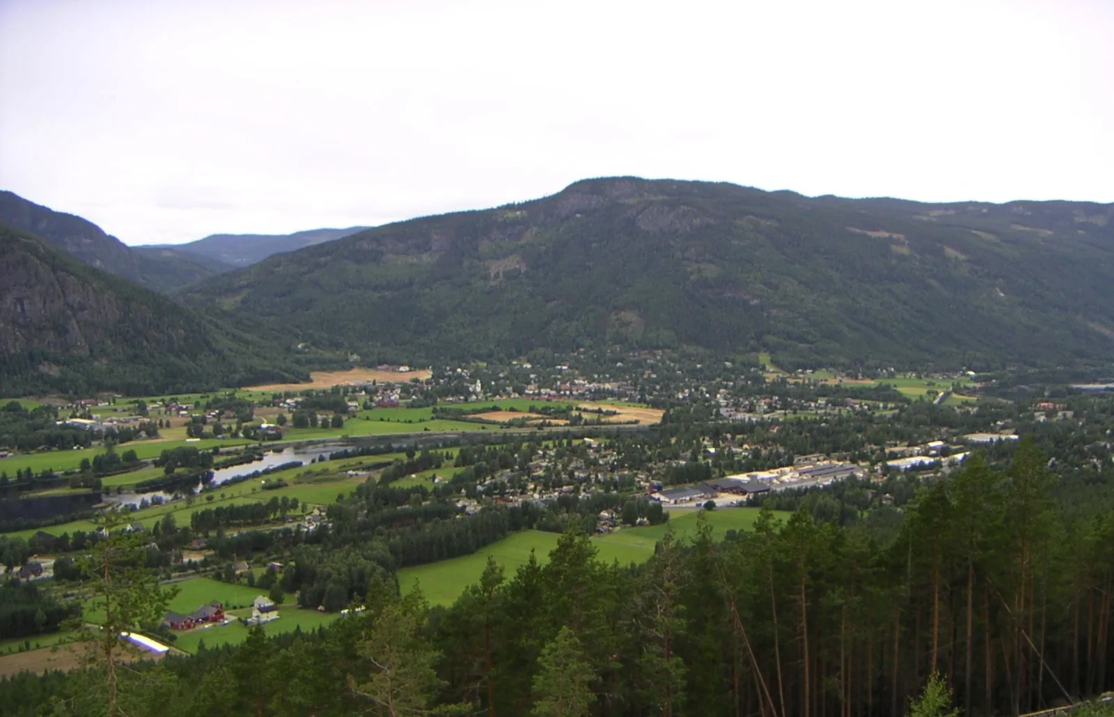
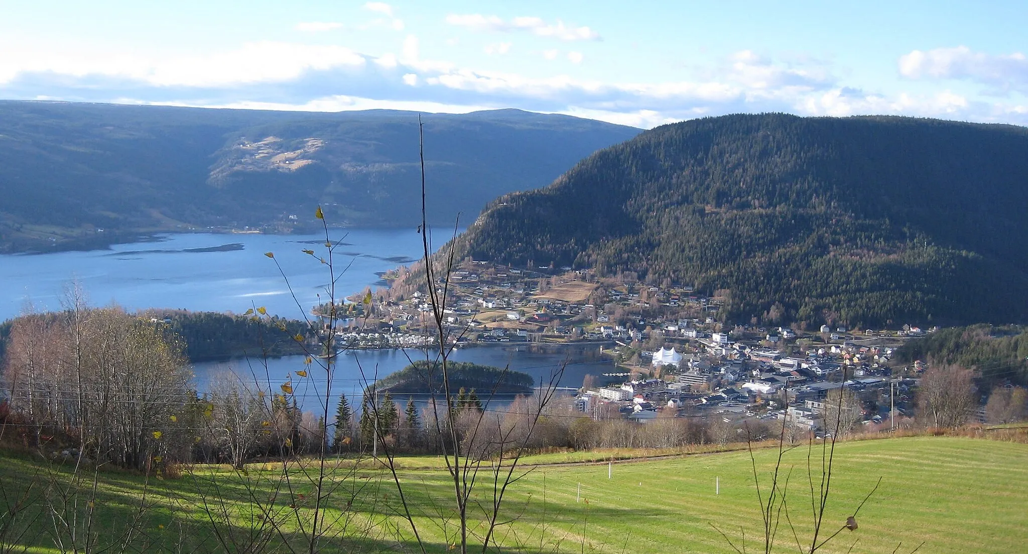
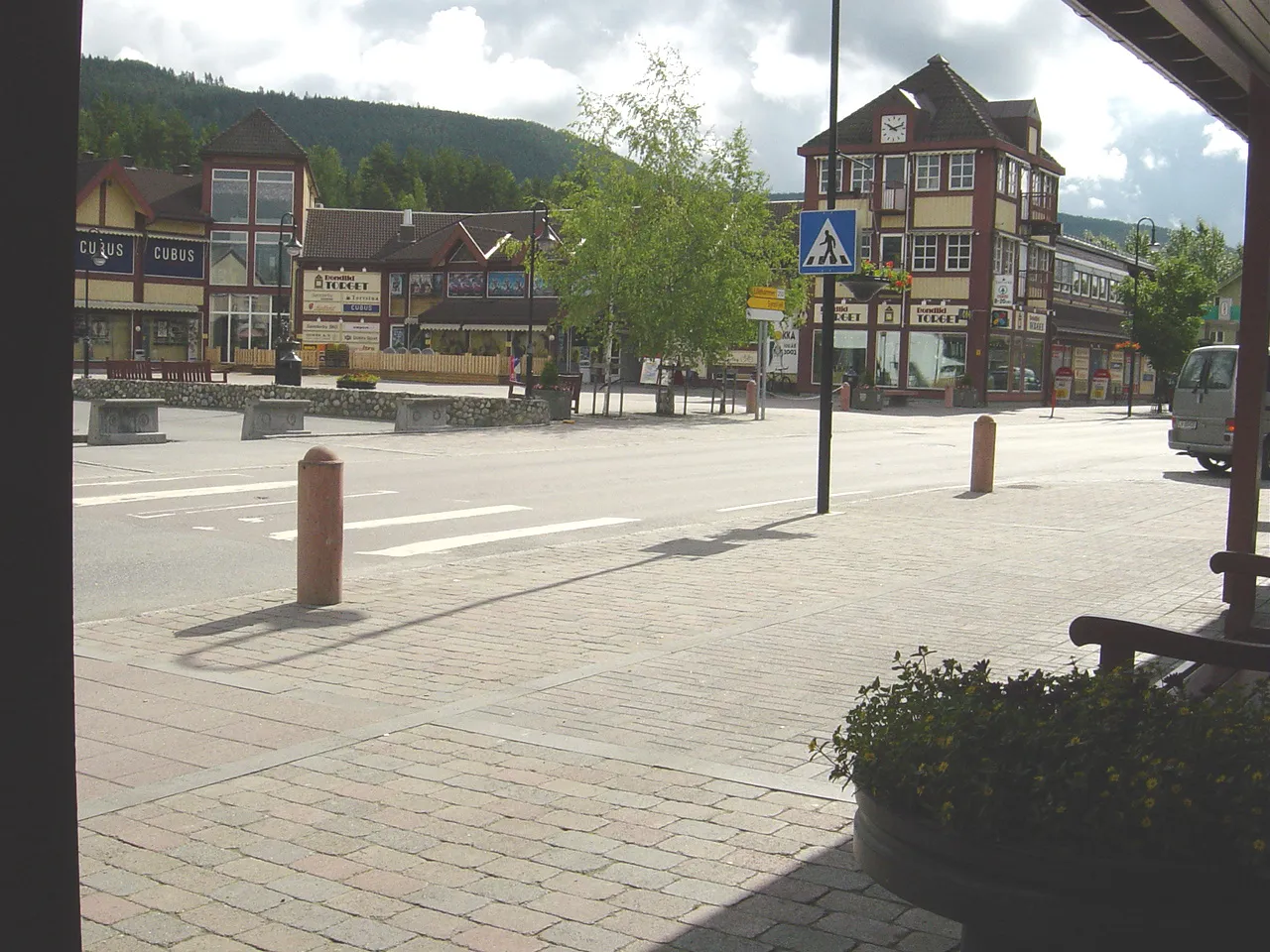
Start: Ål Village centerÅl: Discover the scenic beauty and challenging climbs of Ål, including the iconic Hallingnatten ascent.
Ål is a small locality situated in the Oslo og Viken region of Norway. From the perspective of a cyclist, Ål offers an array of road and gravel cycling routes. The roads in this area are generally well-maintained, offering smooth riding surfaces and stunning views of the surrounding countryside. There are also numerous gravel paths and trails that traverse the Norwegian landscape, providing riders with an off-road cycling experience. One famous cycling spot nearby is the climb to Hallingnatten, a challenging ascent known for its stunning vistas at the summit.2 km
2 km
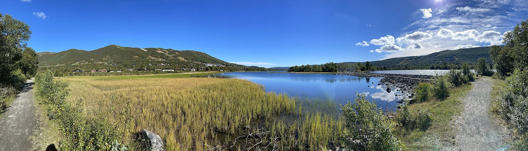
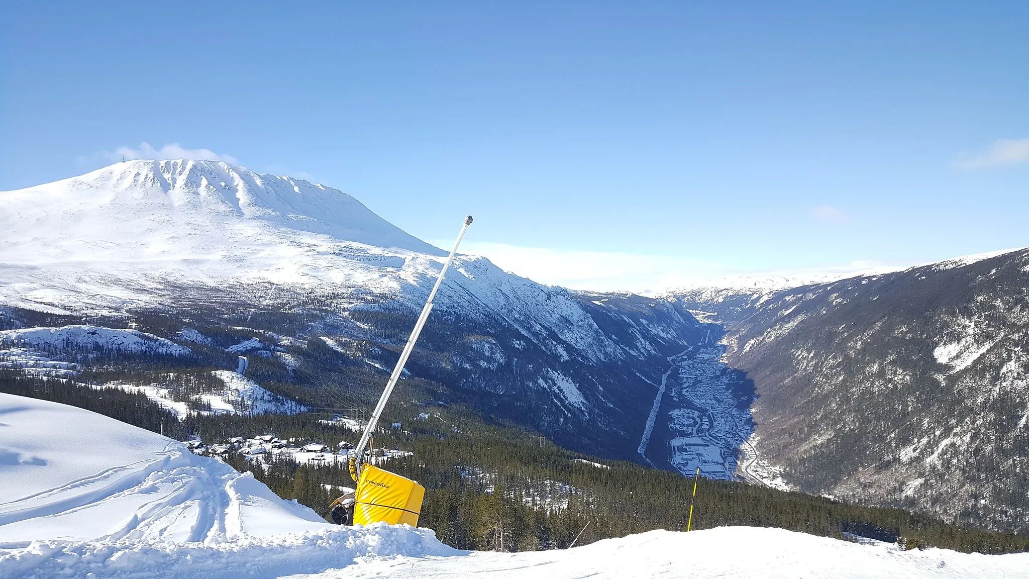
Ulshagenatten673 mPeakReach the summit of Ulshagenatten for panoramic views
11 km
11 km
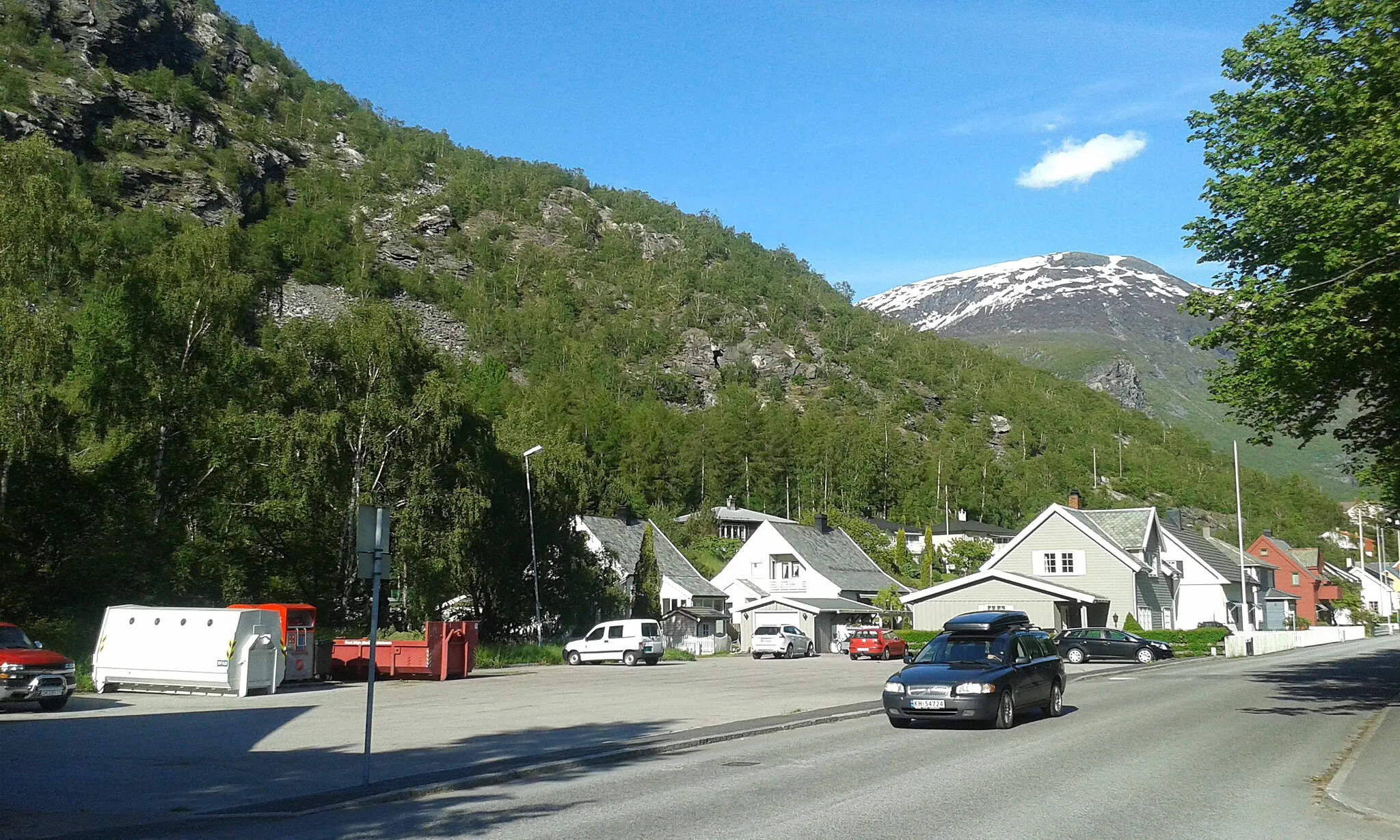
TorpoVillagePass through the historic village of Torpo with its charming wooden buildings
25 km
25 km
Trolltjørnhovda909 mPeakDiscover Trolltjørnhovda and its stunning views
34 km
34 km
Finish: Ål Village centerÅl: Discover the scenic beauty and challenging climbs of Ål, including the iconic Hallingnatten ascent.
Cycling routes nearby: