Golocelo Loop
A road cycling route starting from Draginje
Thrilling ride through the picturesque countryside with hidden gems along the route
Map
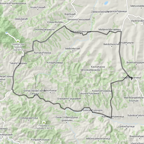
Explore the charming villages and beautiful landscapes of Šumadije i Zapadne Srbije region on this scenic cycling journey. With a moderate difficulty level, this 67 km road route takes you through Golocelo, Gornja Sipulja, Tekeris, Nakucani, Matijevac, and finally back to Draginje. Be prepared for stunning views and challenging climbs as you pedal your way through this memorable adventure.
road
67 km
699 m
Tough
Route profile
Highlights on the route
0 km
0 km
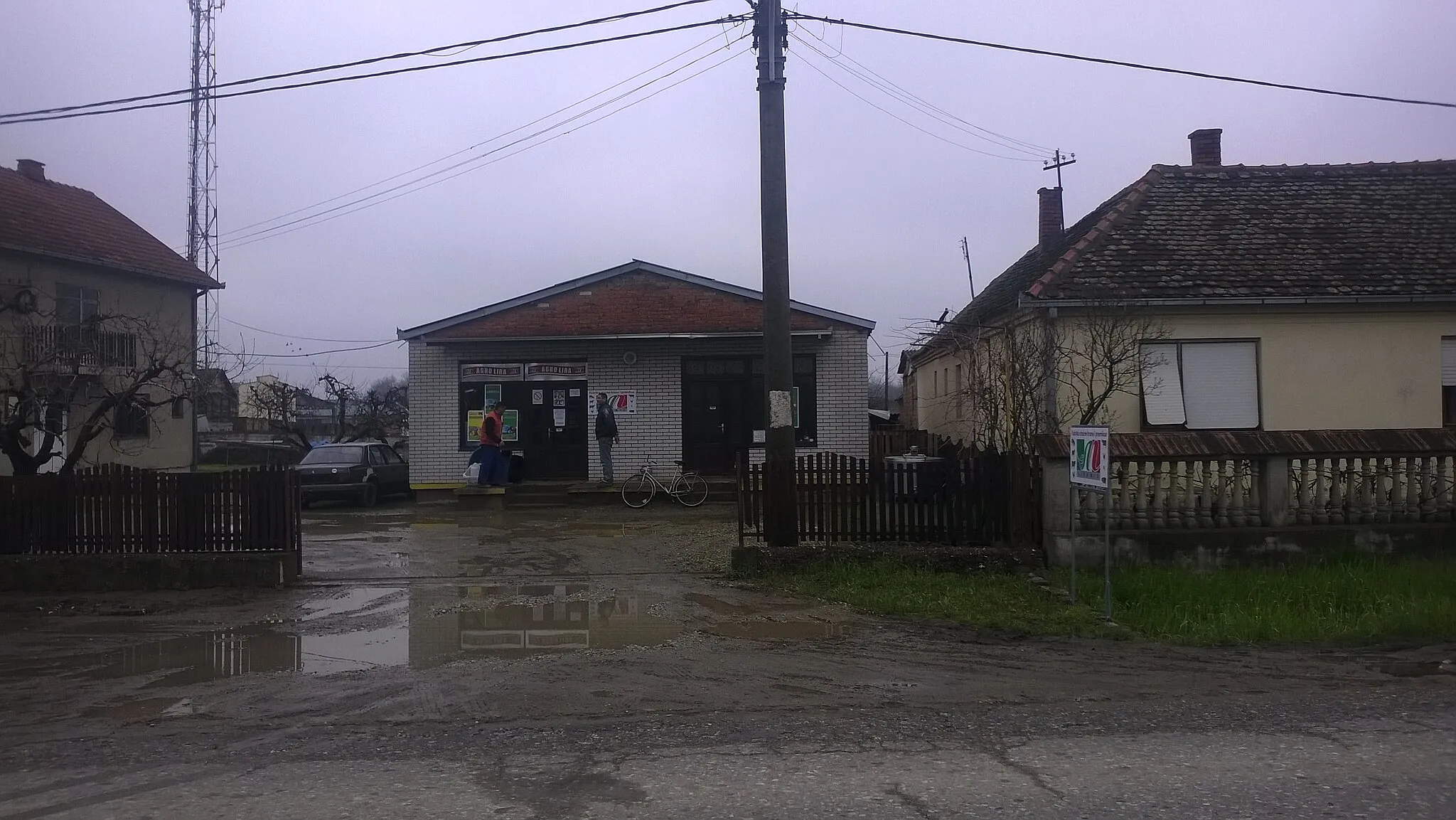
Start: Драгиње Village centerDraginje: Draginje: Serene Cycling Haven in Serbia's Šumadije i Zapadne Srbije Region
Located in the Šumadije i Zapadne Srbije region of Serbia, Draganje is a fantastic locality for road and gravel cyclists. Surrounded by scenic landscapes and rolling hills, cyclists can enjoy the tranquility and natural beauty of the region while exploring its cycling routes. Draginje is also known for its proximity to the famous climb, making it a popular destination among cycling enthusiasts. With its cyclist-friendly infrastructure and picturesque surroundings, Draginje is a great choice for cyclists seeking an adventurous and fulfilling experience.13 km
13 km
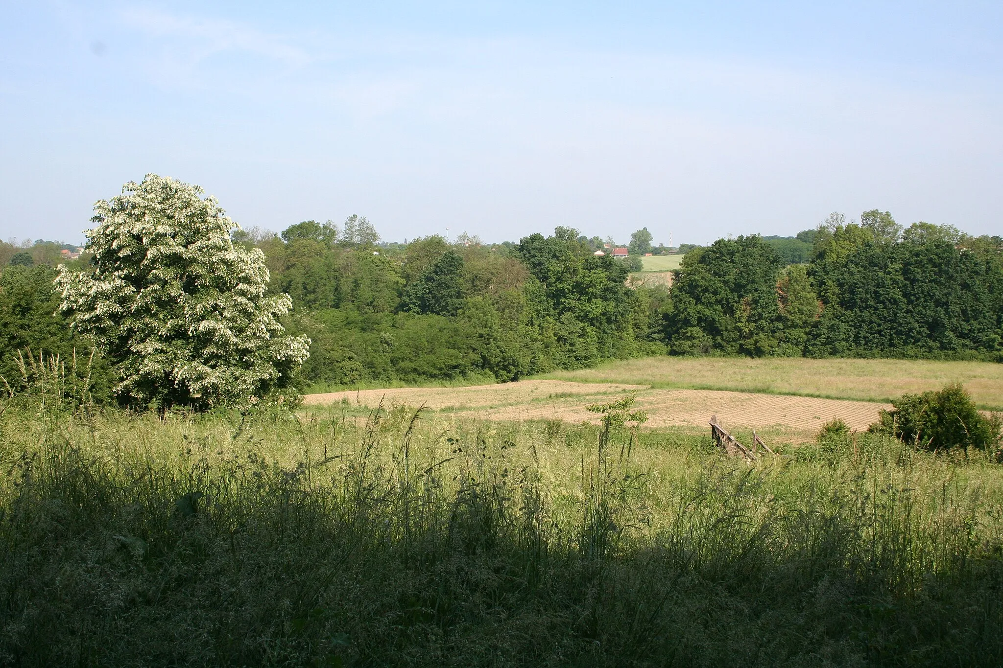
GoloceloVillageMake a stop at Golocelo, a rustic rural village known for its traditional architecture and peaceful atmosphere.
26 km
26 km
Gornja SipuljaVillageExperience the untouched natural beauty of Gornja Sipulja with its rolling hills and idyllic countryside.
35 km
35 km
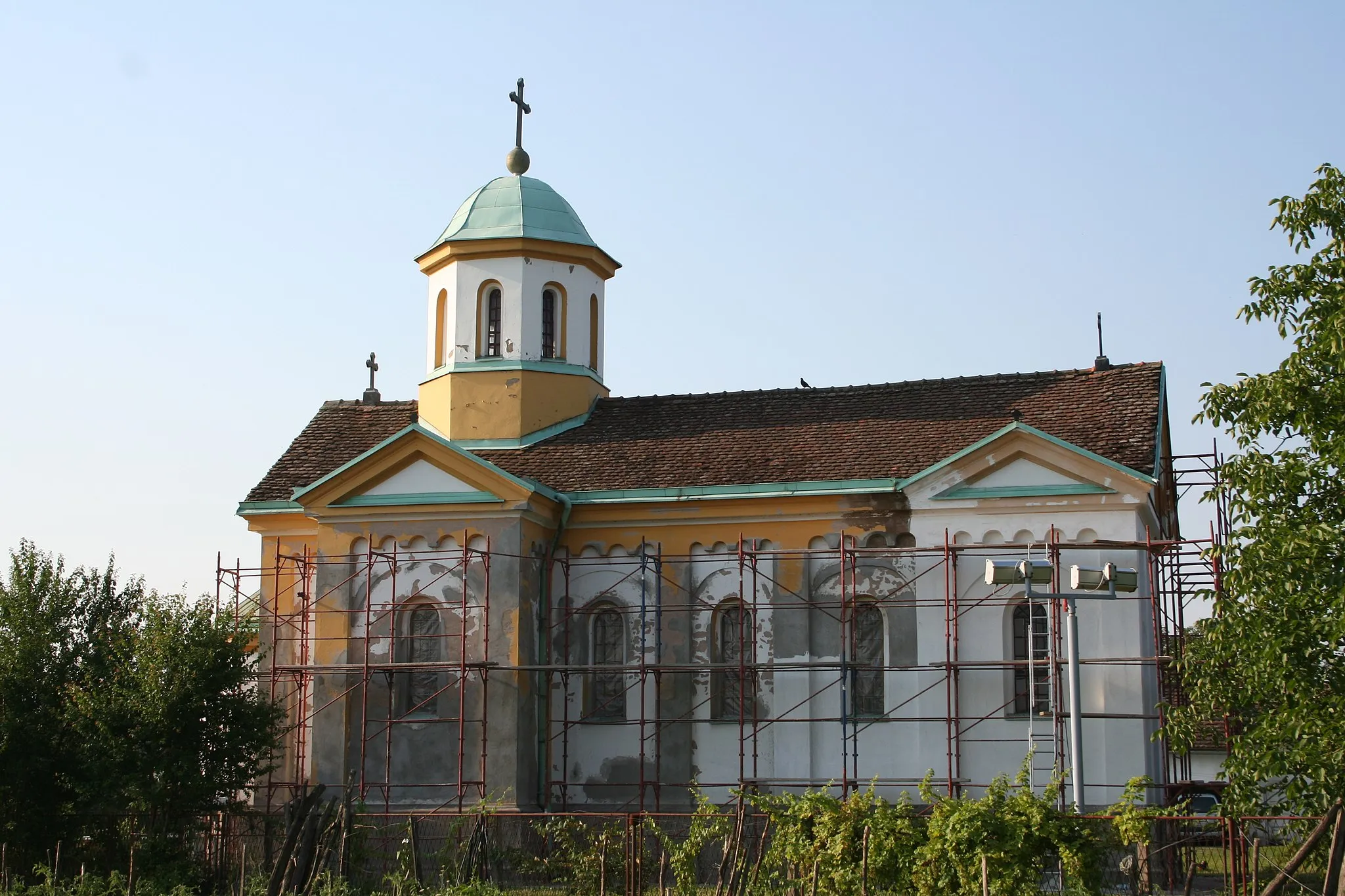
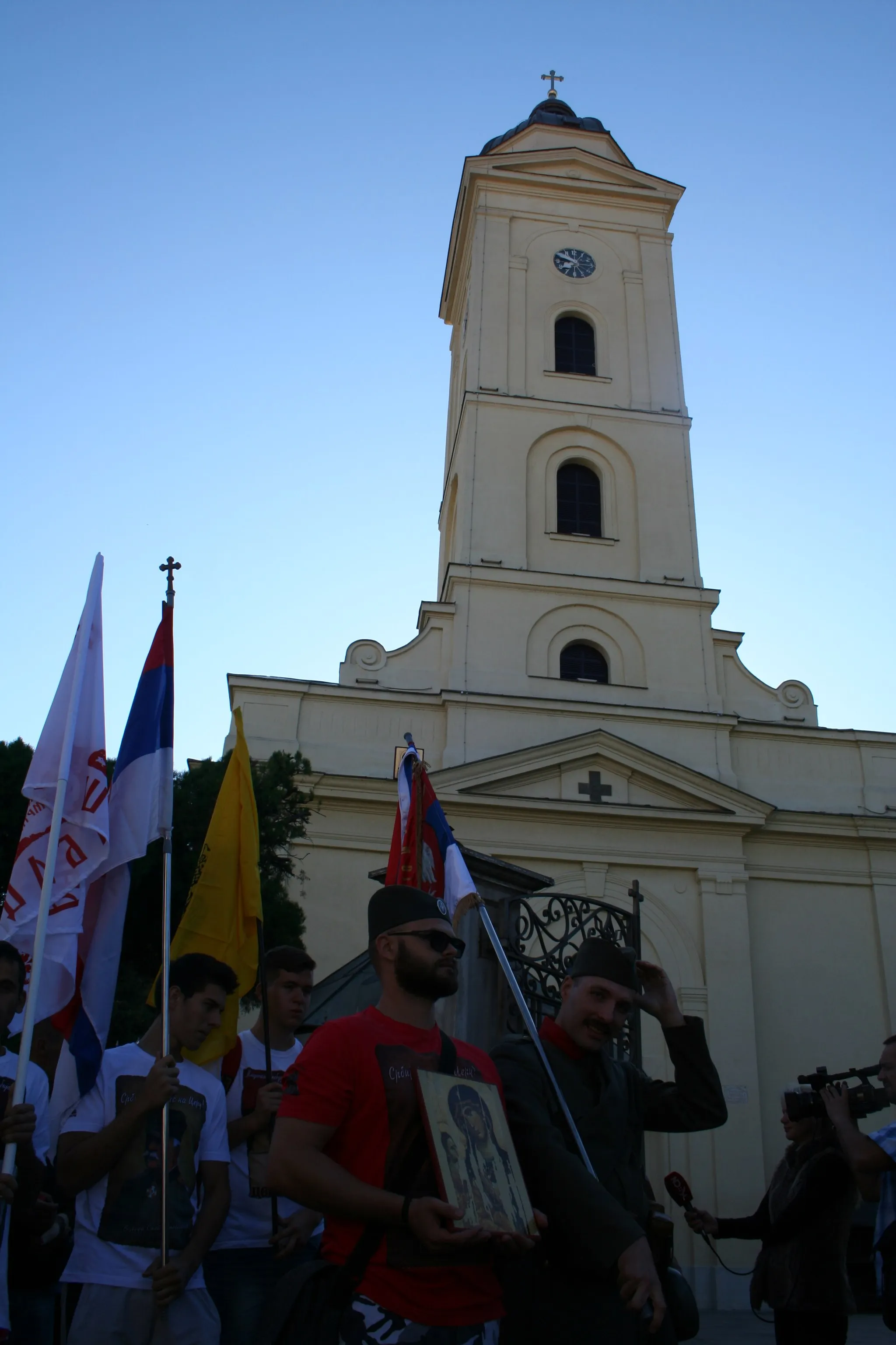
TekerisVillageDiscover Tekeris, a small village renowned for its rich cultural heritage and friendly locals.
50 km
50 km
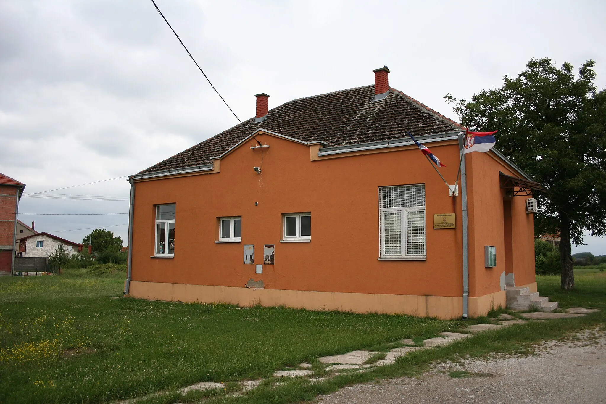
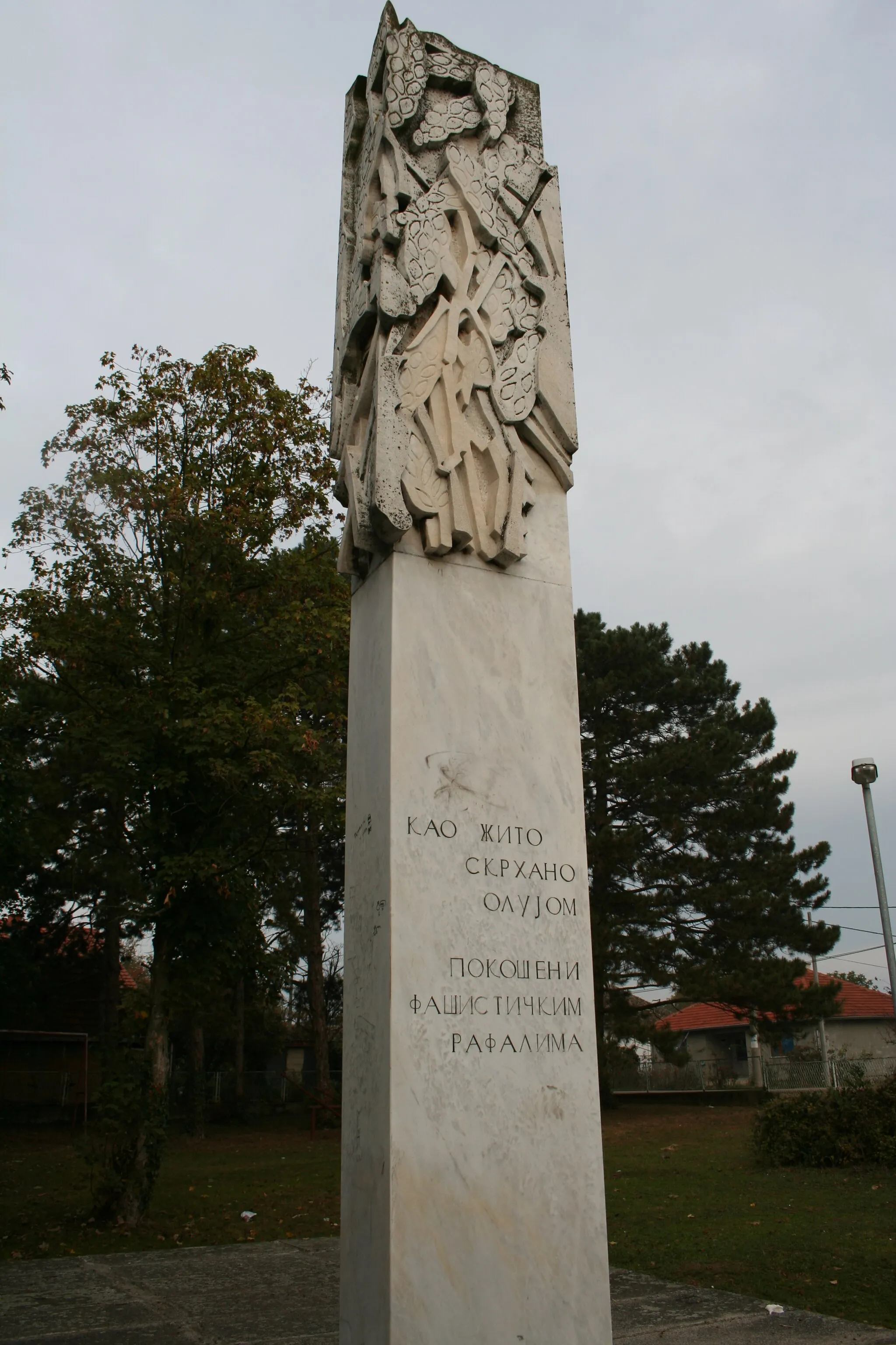
NakucaniVillageTake a break at Nakucani and enjoy the breathtaking views of the surrounding mountains and valleys.
56 km
56 km
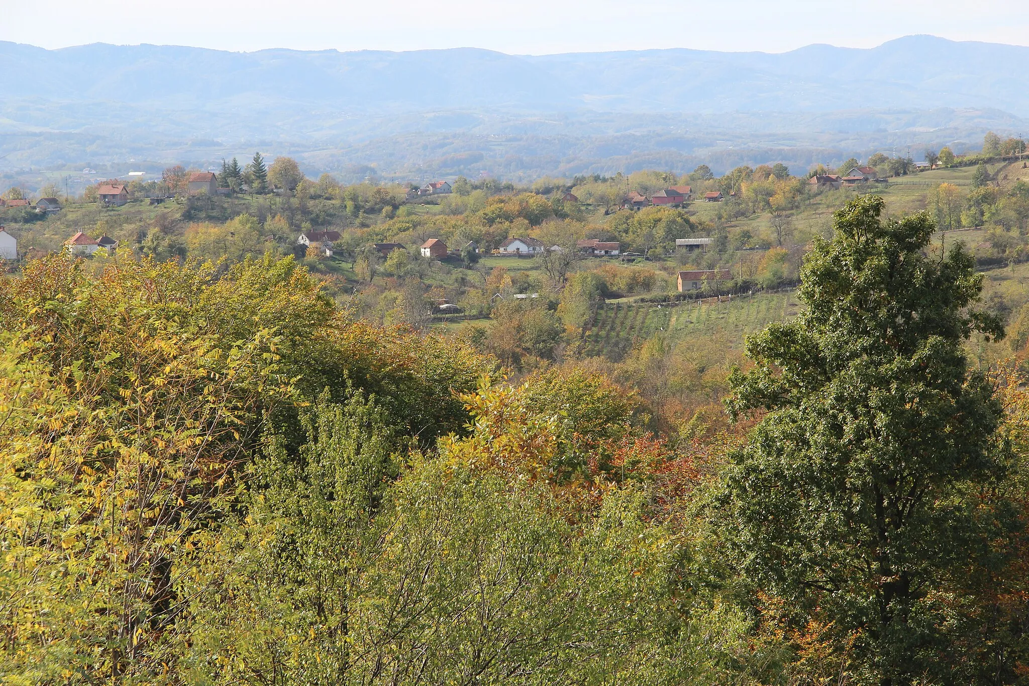
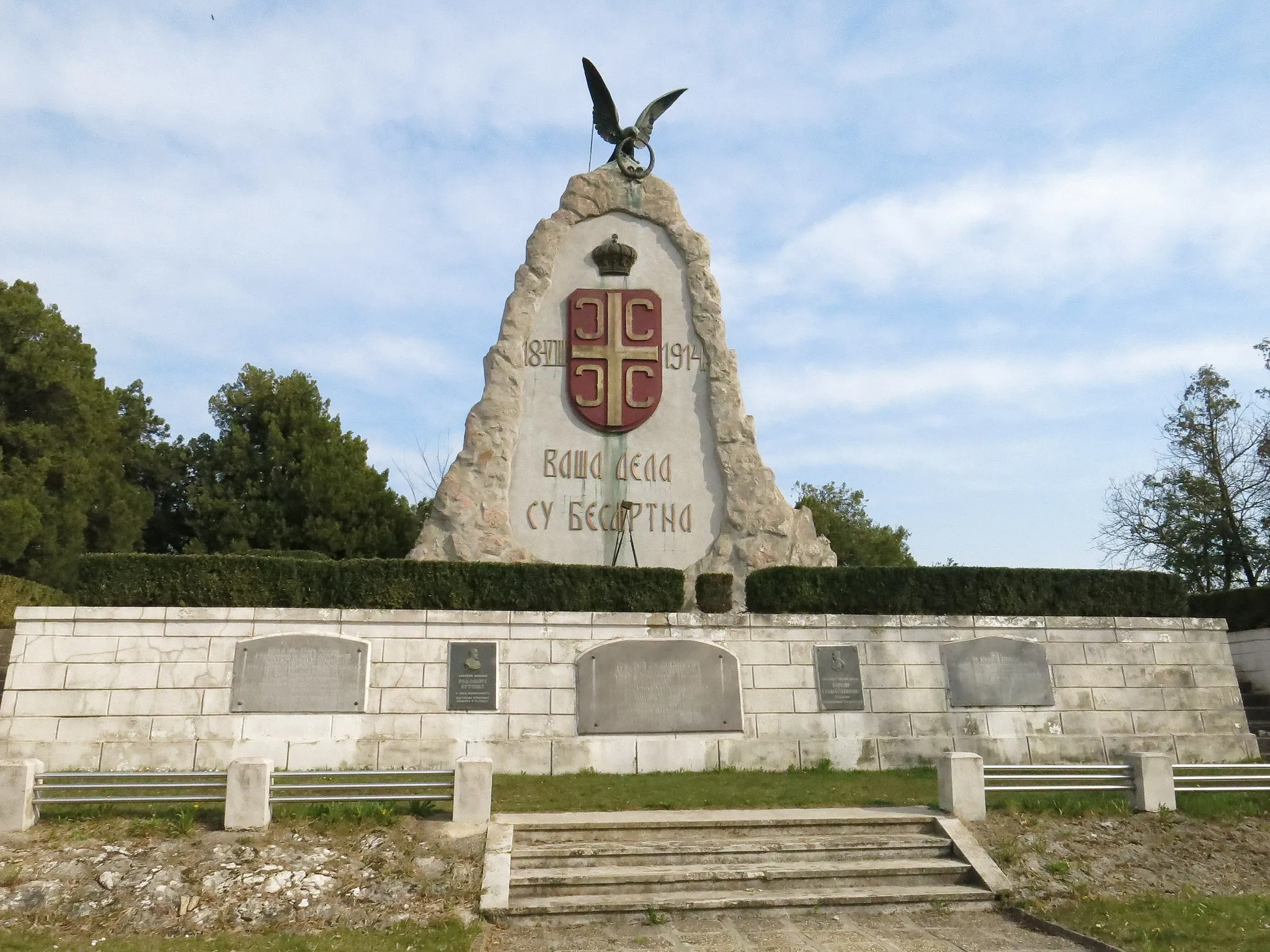
MatijevacVillageExplore Matijevac, a charming village known for its traditional Serbian cuisine and warm hospitality.
67 km
67 km
DraginjeVillageStart and finish your journey in Draginje, a quaint village surrounded by lush greenery and serene landscapes.
67 km
67 km
Finish: Драгиње Village centerDraginje: Draginje: Serene Cycling Haven in Serbia's Šumadije i Zapadne Srbije Region
Cycling routes nearby: