Prislonica Loop
A road cycling route starting from Prislonica
Cycling through the scenic Šumadije i Zapadne Srbije region
Map
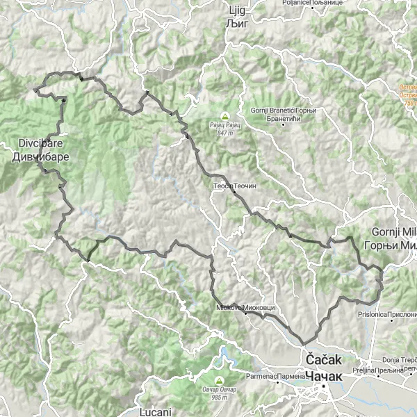
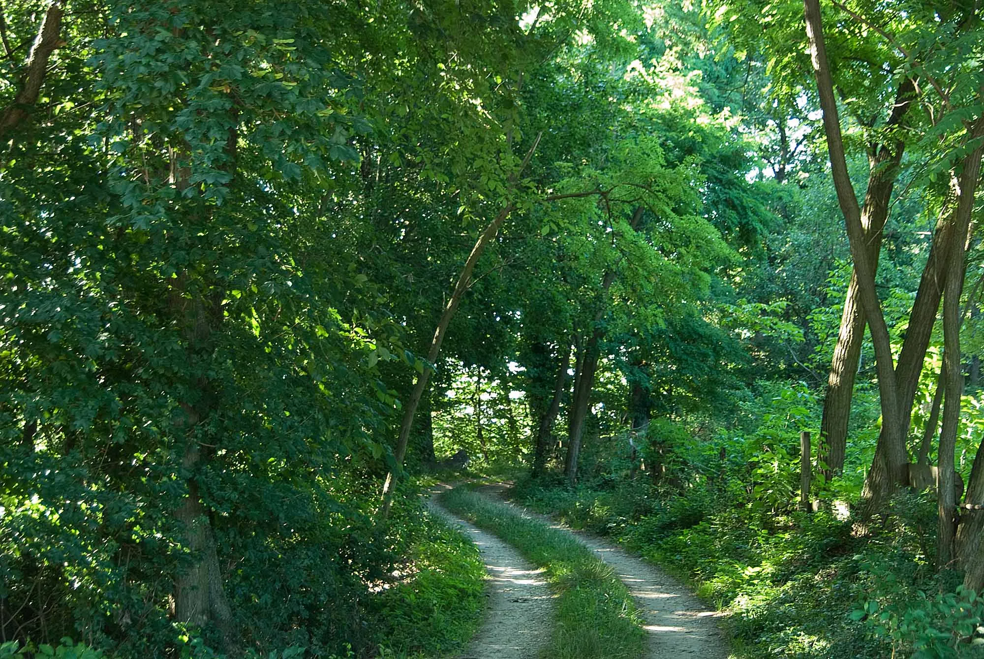
Experience the beauty of Šumadije i Zapadne Srbije on this round-trip cycling route starting near Prislonica. With a total ascent of 2844 meters and a distance of 140 kilometers, this challenging route is perfect for well-trained cyclists seeking an adventure. Along the way, you'll encounter breathtaking highlights such as Gornja Gorevnica, Bogdanica, and Divcibare. The Prislonica Loop offers a mix of challenging terrain and picturesque landscapes, making it a must-do cycling experience in Serbia.
road
140 km
2844 m
Tough
Route profile
Highlights on the route
0 km
0 km
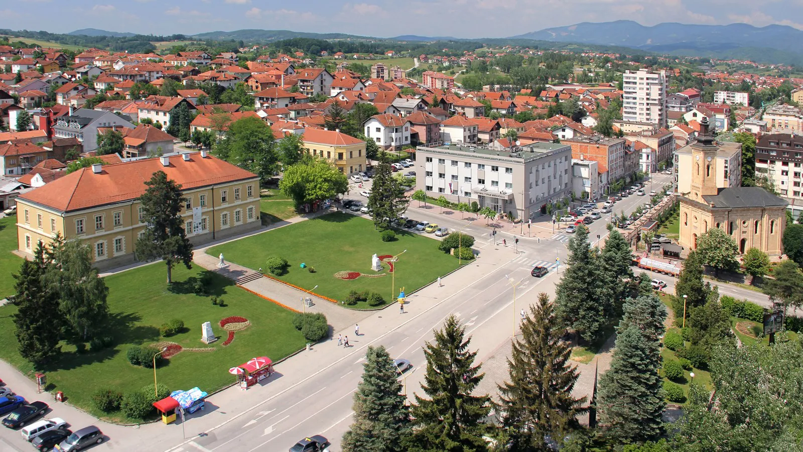
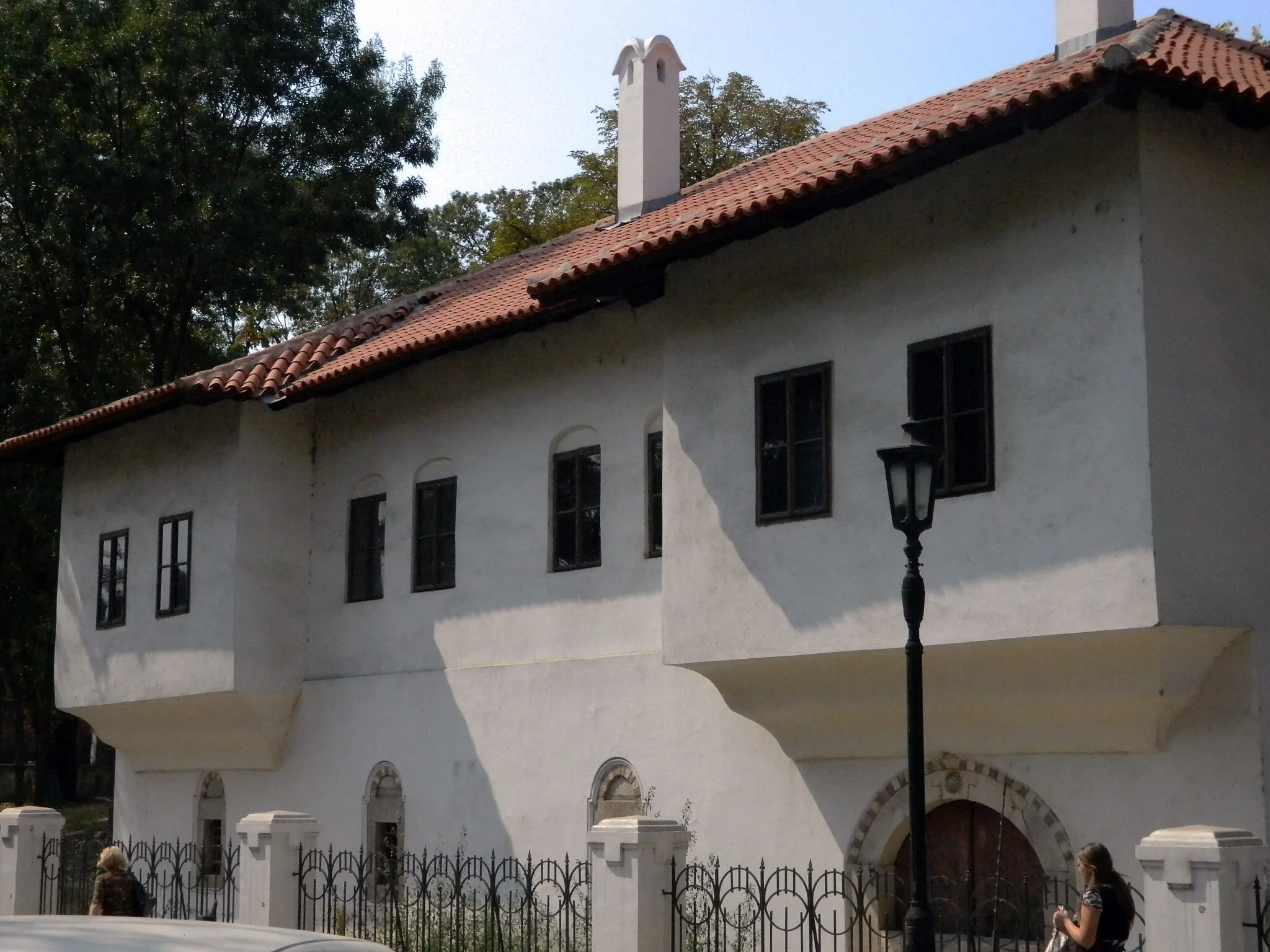
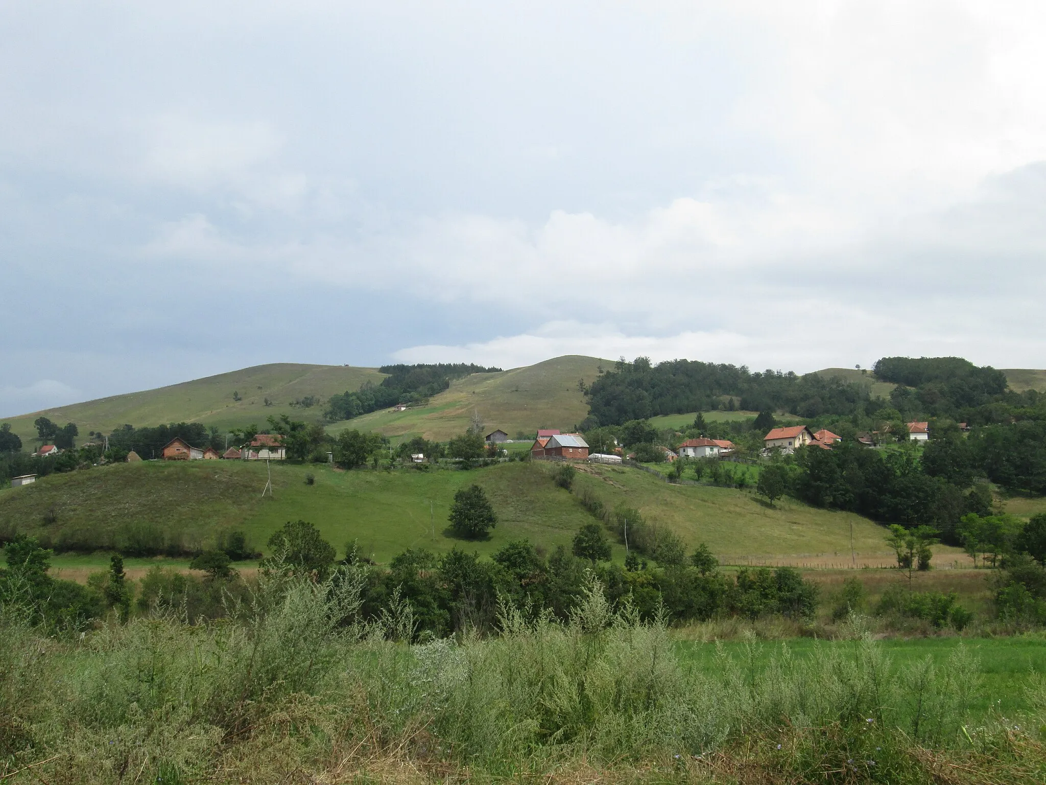
Start: Брђани Village centerPrislonica: Discover Serbia's natural beauty while cycling in Prislonica.
Prislonica is a locality in the Šumadija and Western Serbia region of Serbia. As a road and gravel cyclist, you'll find diverse routes with varying terrain in Prislonica. The area features rolling hills and winding roads, offering both challenging climbs and scenic descents. Cyclists can also explore nearby natural landmarks, including the Drina River and Mt. Miroč. Prislonica is lovely for cyclists looking to experience Serbian countryside and history. It is worthy of a rank 3 on the cycling-friendly scale.15 km
15 km
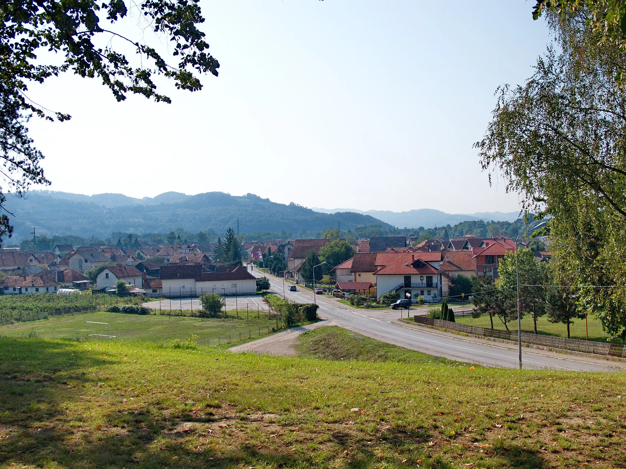
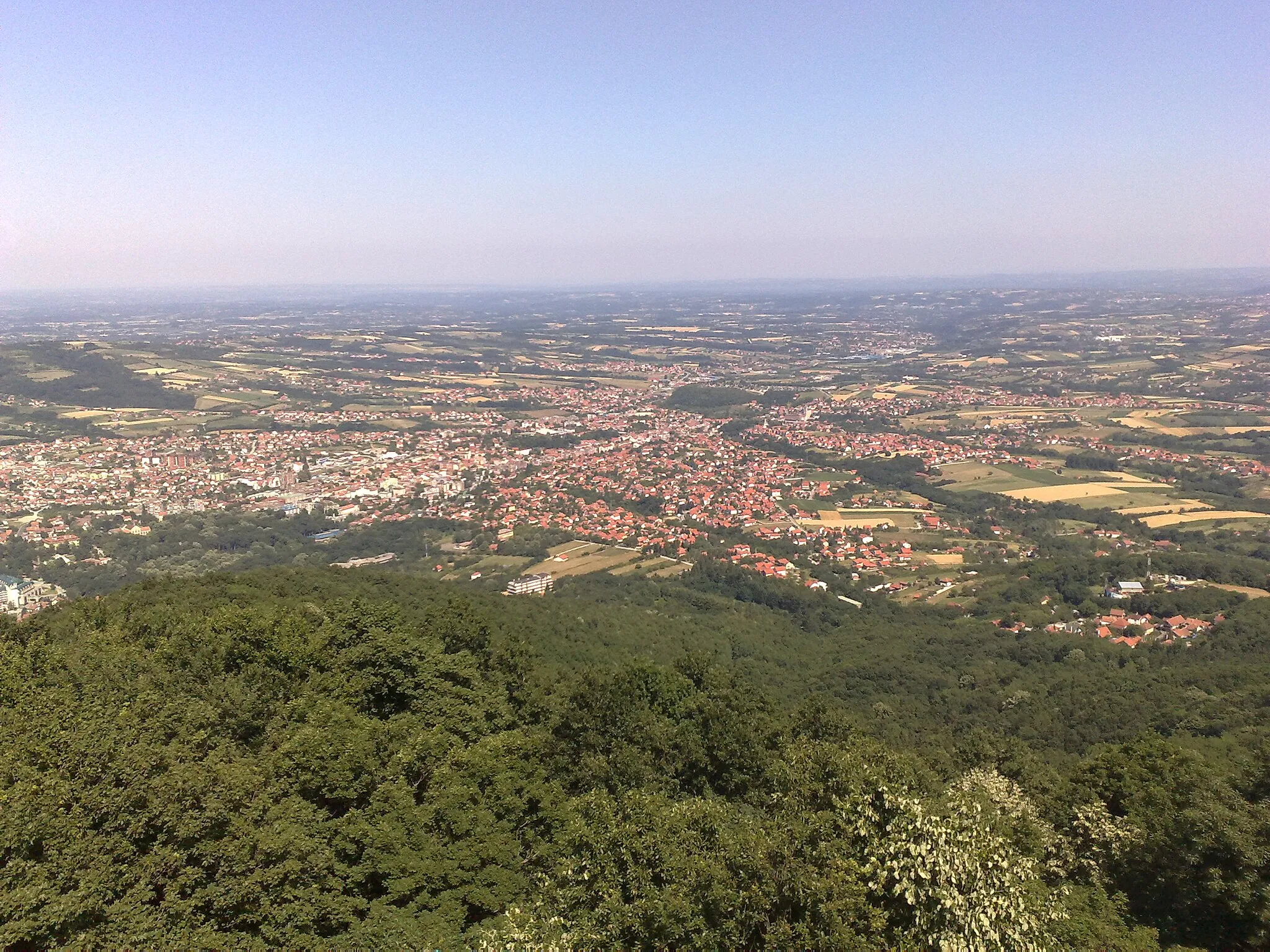
Gornja GorevnicaVillageGornja Gorevnica offers stunning views of the surrounding countryside and is a great spot to take a break and admire the scenery.
39 km
39 km
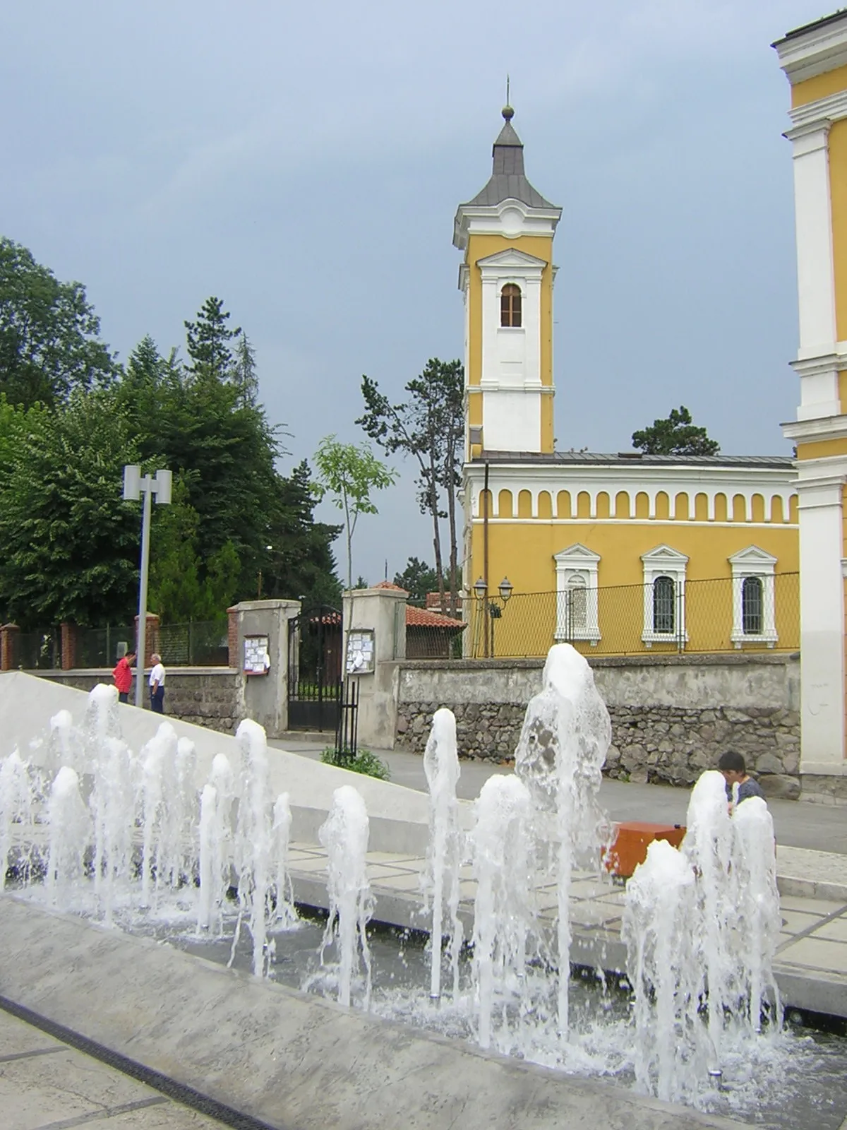
BogdanicaVillageBogdanica is a charming village with traditional architecture and friendly locals. Make sure to stop by a local cafe and taste some delicious Serbian cuisine.
62 km
62 km
Црни врх1096 mPeak ViewpointЦрни врх is the highest point on the route, offering panoramic views of the surrounding mountains and valleys. It's worth the climb.
64 km
64 km
DivcibareTownDivcibare is a popular tourist destination known for its beautiful landscapes and fresh mountain air. Don't forget to try the local specialty, smoked ham.
71 km
71 km
Орловац862 mPeakОрловац is a picturesque village with traditional wooden houses and stunning views. Take a break and immerse yourself in the beauty of the countryside.
104 km
104 km
Сувобор866 mPeakСувобор is a historic town with a rich cultural heritage. Visit the local museum and learn about the region's history and traditions.
120 km
120 km
Галич689 mPeakГалич is a medieval fortress perched on a hilltop, offering breathtaking views of the surrounding countryside. Explore the ancient ruins and imagine the history that unfolded here.
128 km
128 km
SaraniVillageSarani is a charming village with traditional Serbian houses and friendly locals. Make sure to stop by a local bakery and taste some freshly baked pastries.
140 km
140 km
BrdjaniVillageBrdjani is a picturesque village surrounded by lush greenery and peaceful countryside. Take a moment to relax and enjoy the tranquility of this charming spot.
140 km
140 km
Finish: Брђани Village centerPrislonica: Discover Serbia's natural beauty while cycling in Prislonica.
Cycling routes from Prislonica:
Gravel Expedition to Cultural Marvels Scenic Gravel Ride through Šumadije i Zapadne Srbije Gravel Adventure through Šumadije i Zapadne Srbije Road Cycling Adventure in Šumadije i Zapadne Srbije Road Cycling Adventure in Šumadije i Zapadne Srbije Prislonica Loop Explore the Scenic Beauty of Šumadije i Zapadne Srbije on Two Wheels Cycling Tour Through Gornji Milanovac Nature's Delights in the Prislonica Area Šumadije i Zapadne Srbije Adventure
Cycling routes nearby: