The Hradište Loop
A gravel cycling route starting from Trebisov
An exciting gravel cycling route that takes you through ancient ruins and offers panoramic views over the Zemplínske vrchy mountains.
Map
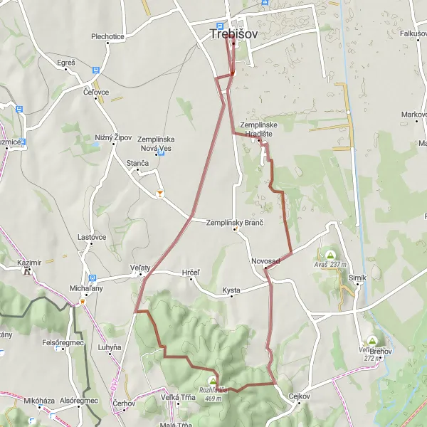
The Hradište Loop is a 46 km long gravel cycling route starting near Trebišov in Eastern Slovakia. It takes you through the Zemplínske vrchy mountains, providing stunning views and a sense of adventure. With a total ascent of 460 meters, this route is suited for experienced gravel cyclists.
gravel
46 km
460 m
Tough
Route profile
Highlights on the route
0 km
0 km
Start: Trebišov City centerTrebišov: Trebišov - Relaxing rides in peaceful countryside
Trebišov is a town situated in the Eastern region of Slovakia. From a cyclist's perspective, Trebišov offers relatively flat terrain, suitable for easy rides and family outings. The town itself provides pleasant countryside scenery for cyclists to explore, with the opportunity to visit nearby natural attractions such as the Vinianske Jazero reservoir. While not known for famous cycling-related spots or challenging climbs, Trebišov is nevertheless a peaceful area for leisurely cycling. Additionally, the town is located within reach of larger cities like Košice, which offer more extensive cycling resources and experiences.0 km
0 km
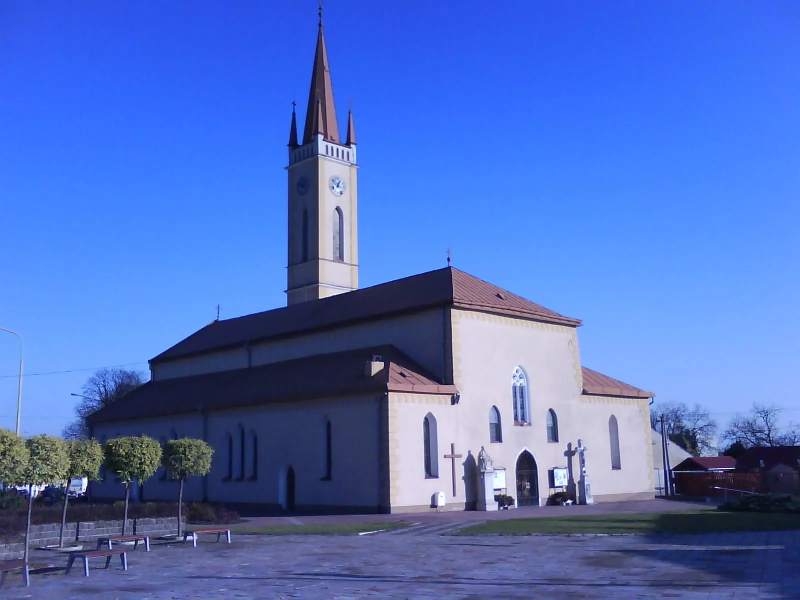
TrebišovTownTrebišov is a town with a rich history and stunning architectural heritage, including a Renaissance castle.
6 km
6 km
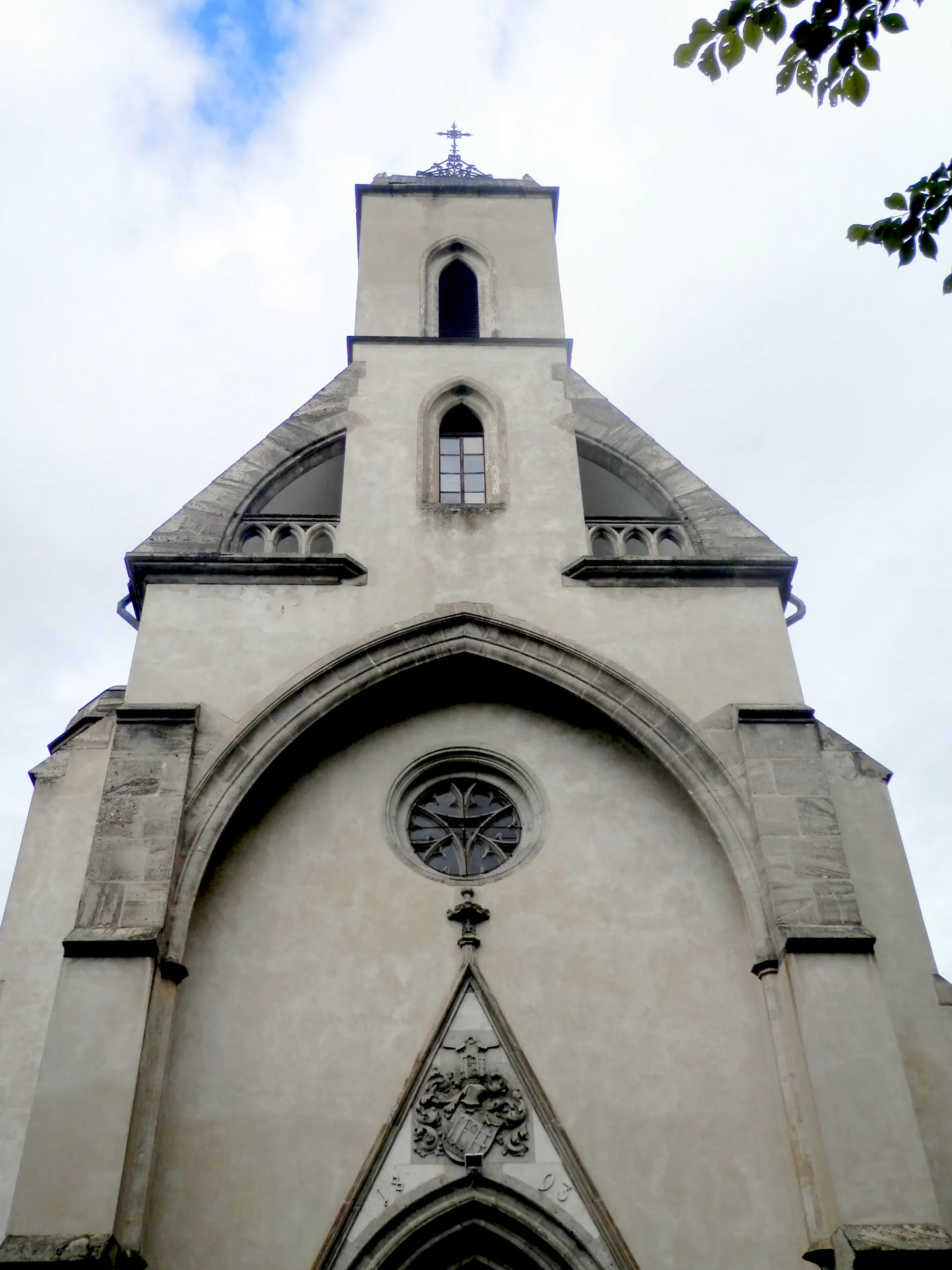
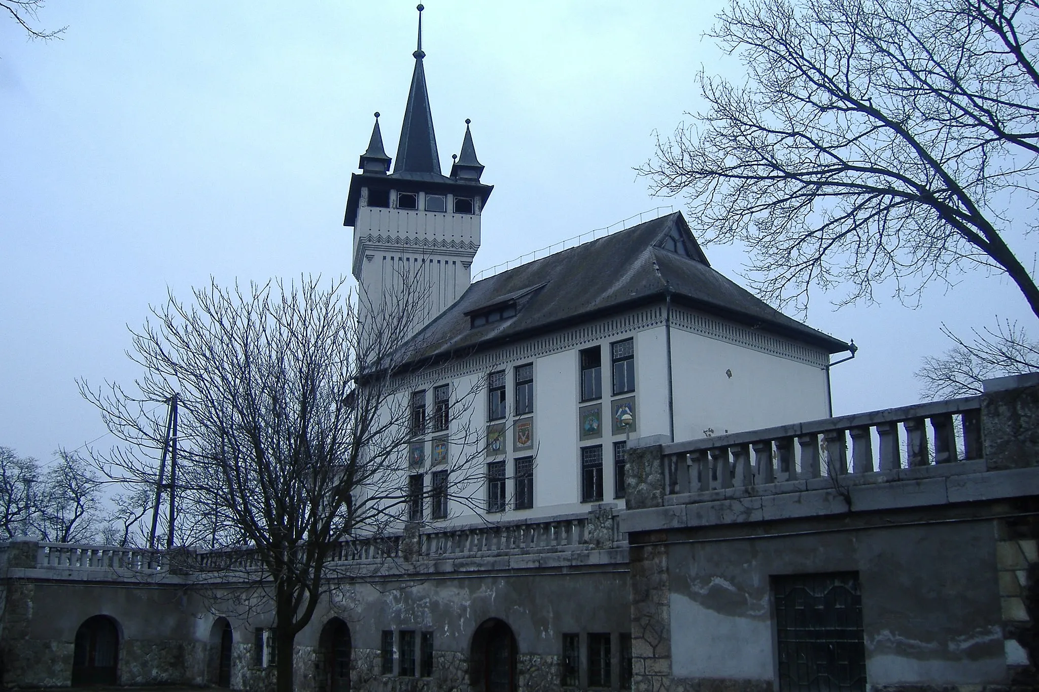
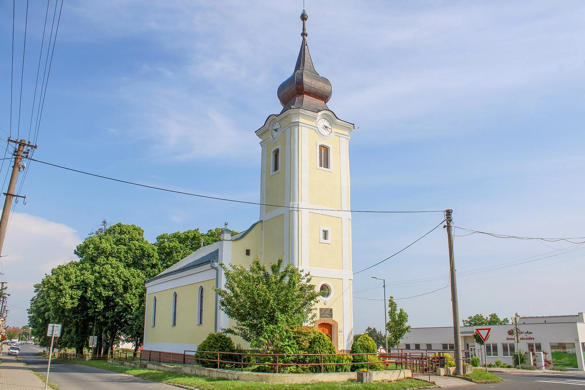
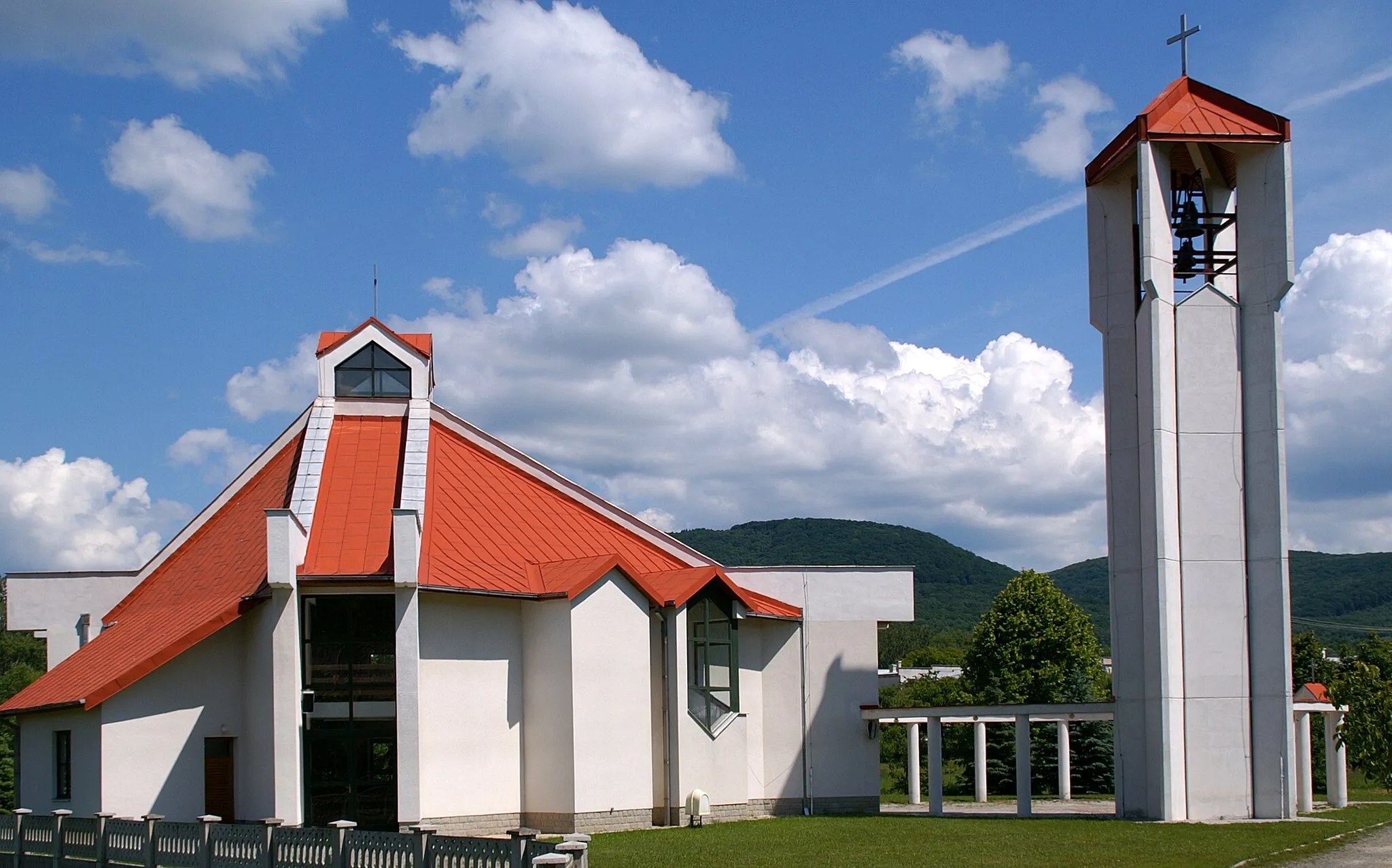
Zemplínske HradišteVillageZemplínske Hradište is an ancient fortress ruin offering a majestic view over the surrounding countryside.
19 km
19 km
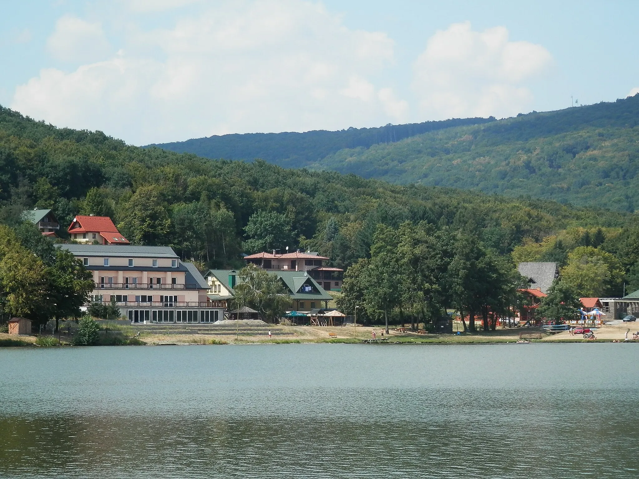
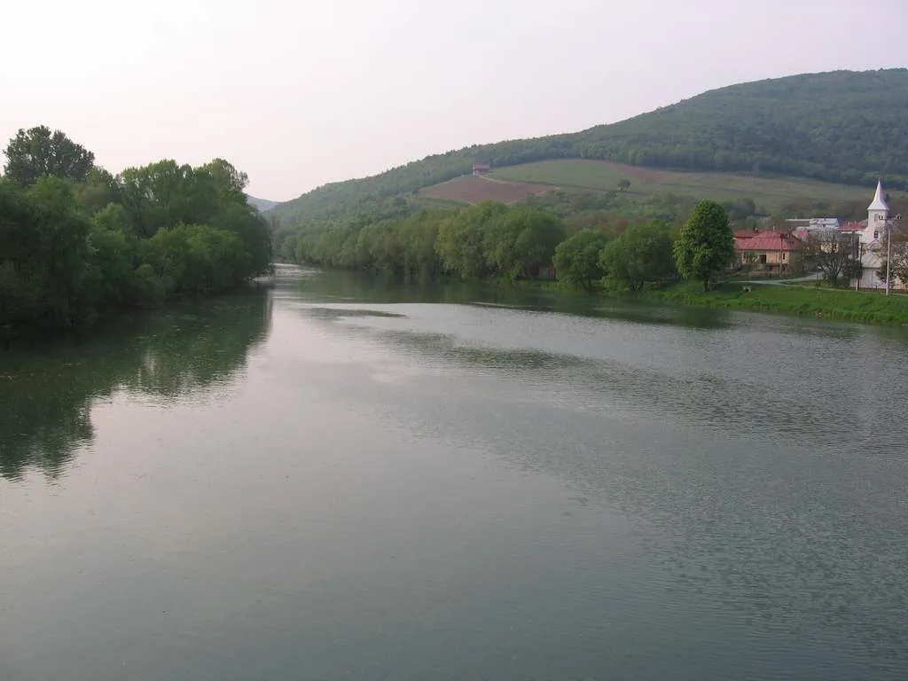
Kaca203 mPeakKaca is a small village located in a beautiful valley, offering great views and a sense of tranquility.
24 km
24 km
Vysoký vrch434 mPeakVysoký vrch is a hill that offers panoramic views over the vast plains of Eastern Slovakia.
32 km
32 km
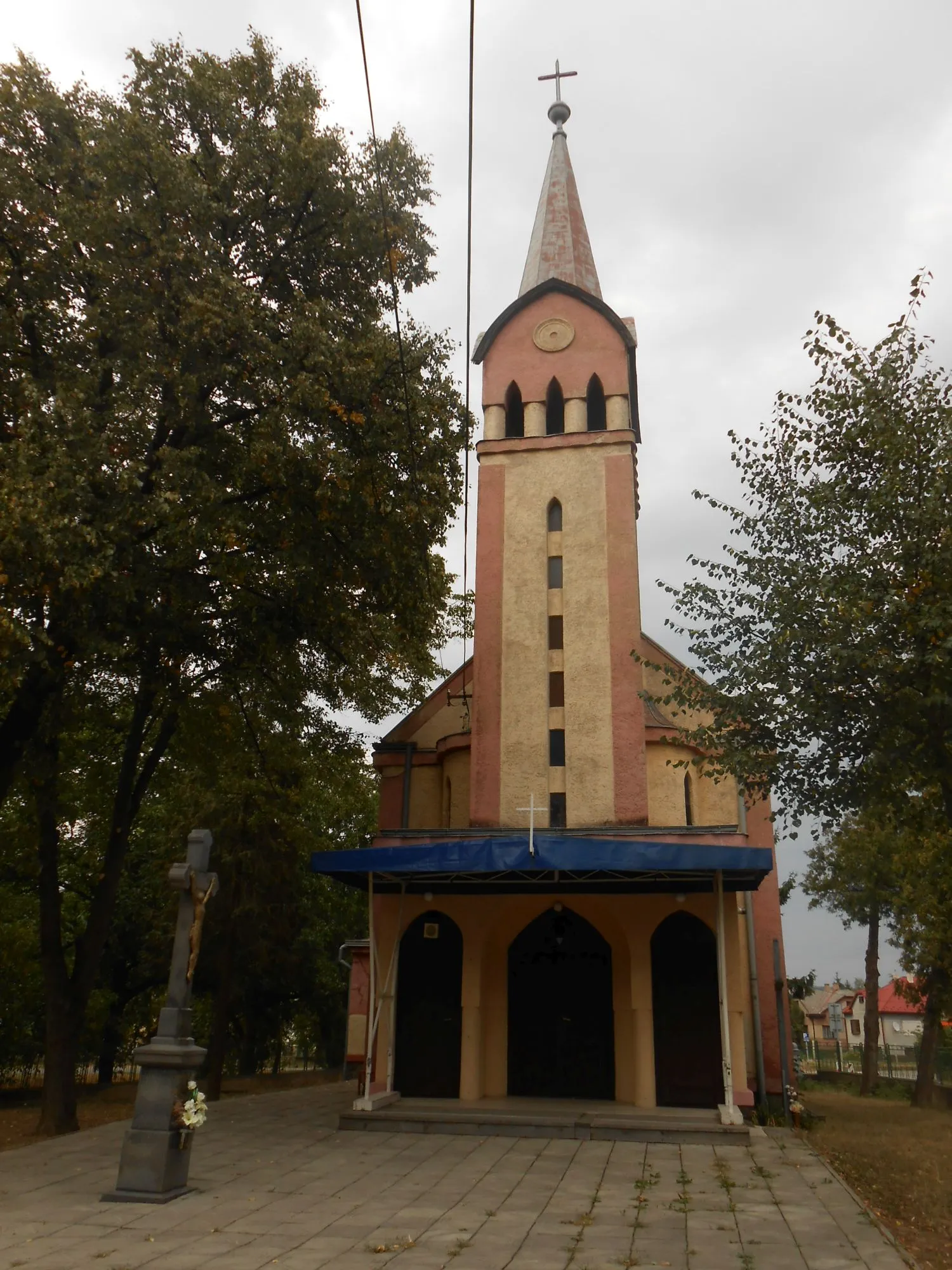
VeľatyVillageVeľaty is a charming village with traditional wooden houses, surrounded by vineyards and rolling hills.
46 km
46 km
Finish: Trebišov City centerTrebišov: Trebišov - Relaxing rides in peaceful countryside
Cycling routes from Trebisov:
The Scenic Road Adventure Through Bohdanovce and Nový Ruskov The Ondava Loop The Hradište Loop The Grazing Gravel The Long Road Journey Through Klokočiny and Trhovište The Jastrabie Challenge The Michalovce Adventure The Hilly Gravel Ride Through Villages and Hills The Challenging Gravel Exploration of Herľany and Nový Ruskov The Epic Road Ride Through Alsóregmec and Abaújvár The Gravel Adventure
Cycling routes nearby: