Exploring the Beauty of Strážske on Two Wheels
Cycling routes from Strazske
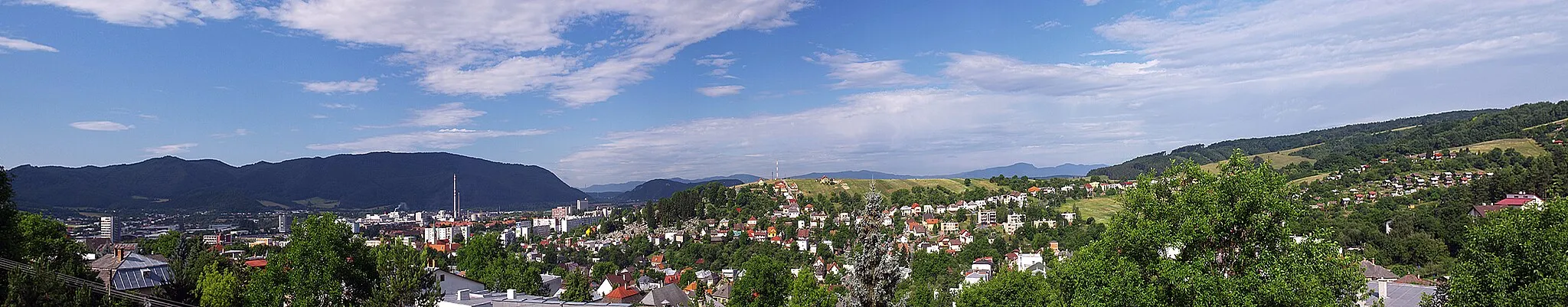
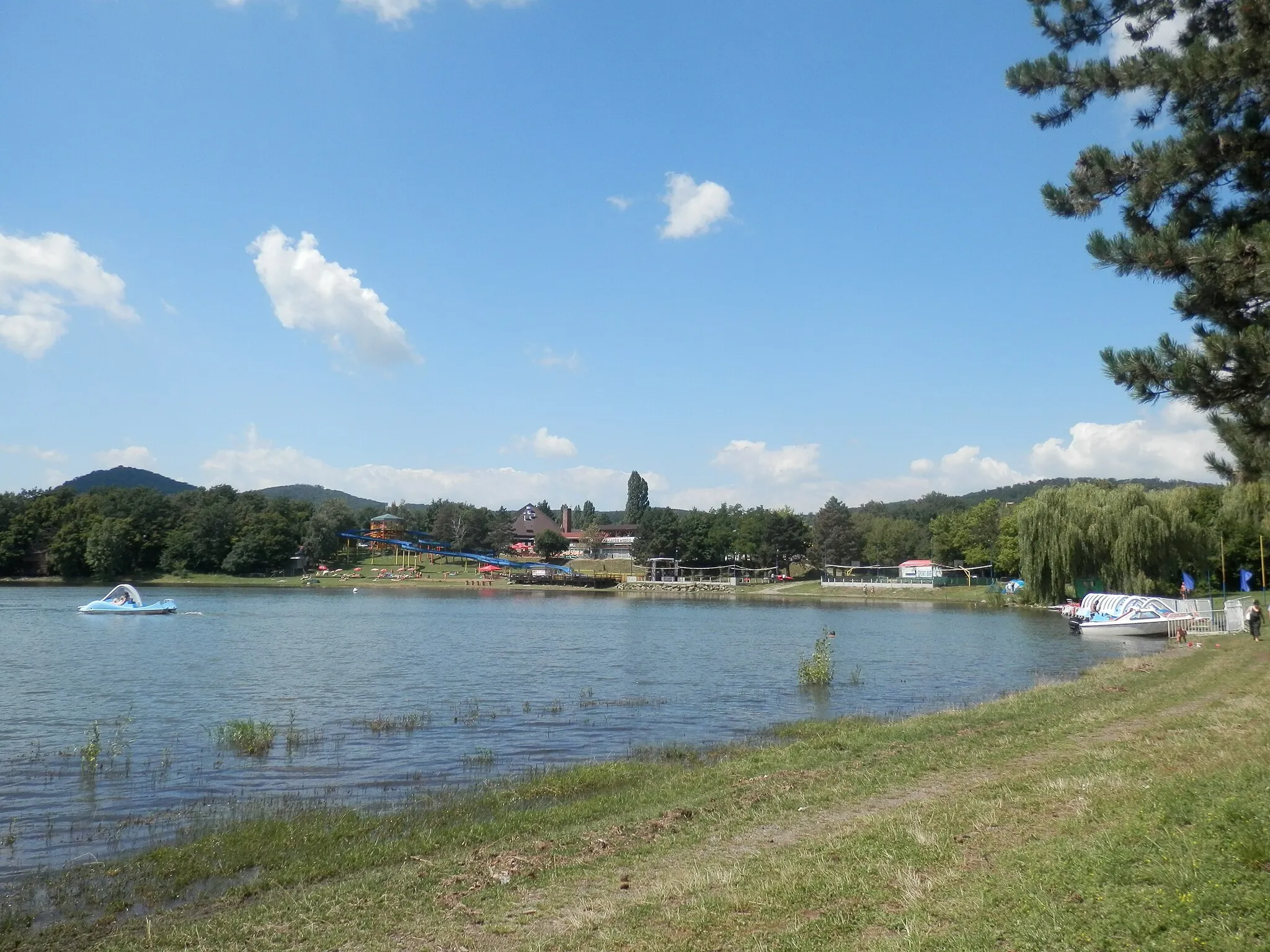
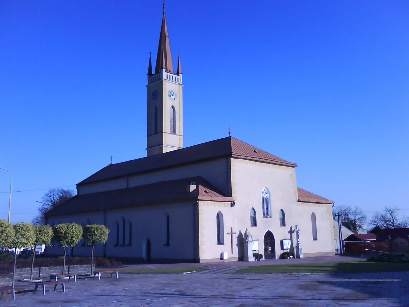
Strážske is a small town located in the Východné Slovensko region of Slovakia. It offers moderate cycling opportunities for both road and gravel cyclists. The terrain around Strážske is a mix of flat and hilly areas, providing a good balance for riders of different skill levels. There are several cycling routes in the area that take cyclists through scenic countryside, allowing them to appreciate the natural beauty of the region. While Strážske may not have any well-known cycling spots or major climbs nearby, it is a pleasant destination for cyclists who enjoy exploring lesser-known areas.
Gravel Journey to Čierna hora

Embark on a gravel journey to Čierna hora and immerse yourself in nature's beauty
The Gravel Journey to Čierna hora is a 73 km route that promises an immersive cycling experience in the natural splendor of Eastern Slovakia. With a total ascent of 673 meters, this route is suitable for adventurous cyclists. Starting near Strážske, you will cycle past highlights like Čierna hora, a mountain offering breathtaking beauty and scenic trails. Other notable spots include Udavské, known for its tranquil atmosphere, the picturesque village of Hubková surrounded by idyllic nature, Jasenov with its peaceful ambiance, and the Výhľad na juh (View to the South) lookout point for capturing awe-inspiring panoramas.

Embark on a thrilling gravel adventure through the picturesque landscapes of eastern Slovakia
Discover the hidden gems of eastern Slovakia as you tackle this gravel challenge. With an ascend of 821 meters and a distance of 71 kilometers, this route offers a unique opportunity to explore the region's diverse terrain and stunning scenery. Experience the rustic charm of Dielnica, the tranquil beauty of Nižný Hrabovec, and the historical significance of Húšťavy. Challenge yourself as you conquer the demanding Kunova hora and take in breathtaking panoramas from the top. Visit Detrík, a quaint village with captivating traditions, and pedal up to Na horu for a rewarding viewpoint. Finally, enjoy the serenity of Malá Domaša, a small town surrounded by pristine nature.

Embark on a gravel adventure to the Hôrka hill and enjoy panoramic views
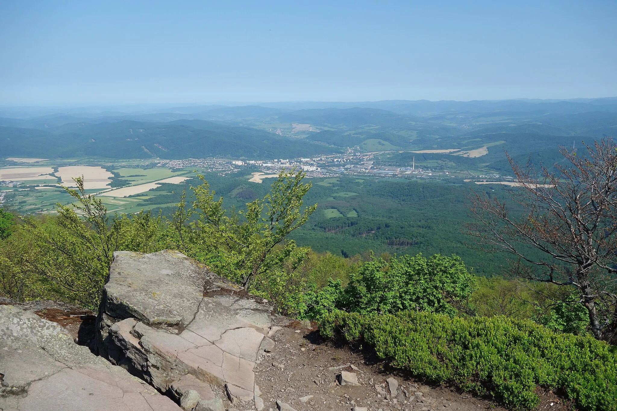
The Gravel Adventure to Hôrka is an 82 km route that takes you through diverse terrain and offers a thrilling cycling experience. With a total ascent of 1167 meters, this route is suitable for well-trained amateurs. Starting near Strážske, the gravel path leads you to highlights such as Hôrka, a prominent hill known for its captivating views of the surrounding countryside. Other notable spots include Vinné, a charming village bordered by vineyards, Kusín with its unique rural landscapes, Lomok with its picturesque canyon, and Jasenov with its serene atmosphere and beautiful nature. The highlight of this route is the stunning panoramic view you'll enjoy from the Výhľad na juh (View to the South) lookout point.

Embark on an epic off-road cycling adventure through the gravel roads of Východné Slovensko.
The Gravel Adventure route is a challenging off-road cycling experience that takes you through the scenic gravel roads of Východné Slovensko. With a total ascent of 1366 meters and a distance of 101 kilometers, this route is perfect for well-trained amateur cyclists seeking an adrenaline-packed adventure. Along the way, you'll encounter highlights such as Hrebovka, an enchanting spot surrounded by lush greenery and pristine nature, and Humenné, a vibrant town with a rich cultural heritage. This route offers a mix of thrilling descents and challenging climbs, promising an unforgettable gravel cycling experience.
Explore scenic routes and historic castles in Eastern Slovakia
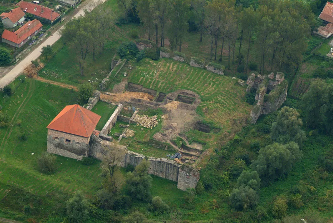
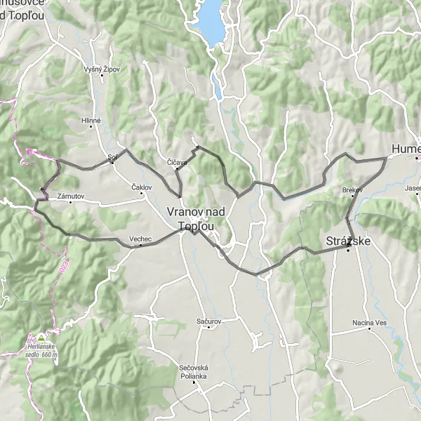
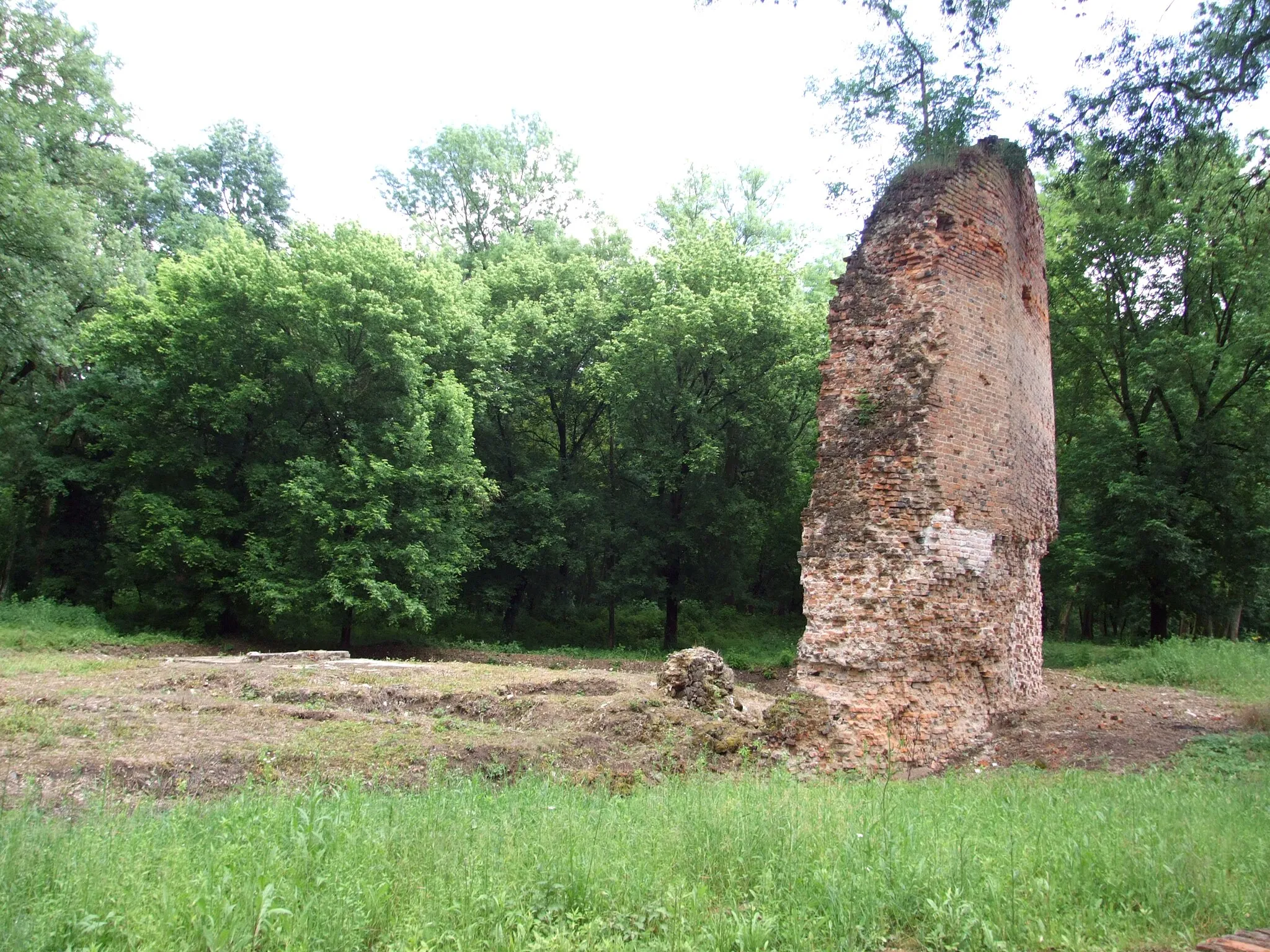
The Eastern Castle Loop is a 75 km cycling route that takes you through the picturesque landscapes of Eastern Slovakia, passing by several historic castles. This road route features a total ascent of 632 meters, offering a good challenge for amateur cyclists. Starting near Strážske, you will ride past notable highlights such as Červený kameň, a charming red castle, and Nižný Hrabovec, a scenic village surrounded by beautiful nature. The route also includes visits to Vechec, Drina, Hlavačka, Lysá hora, Tovarné, Hora, Brekov, and Klokočiny. Each highlight has its own unique qualities, making this route an epic cycling adventure.
Escape to the serenity of rural countryside on the Strážske tour and experience the hidden gems of Východné Slovensko.
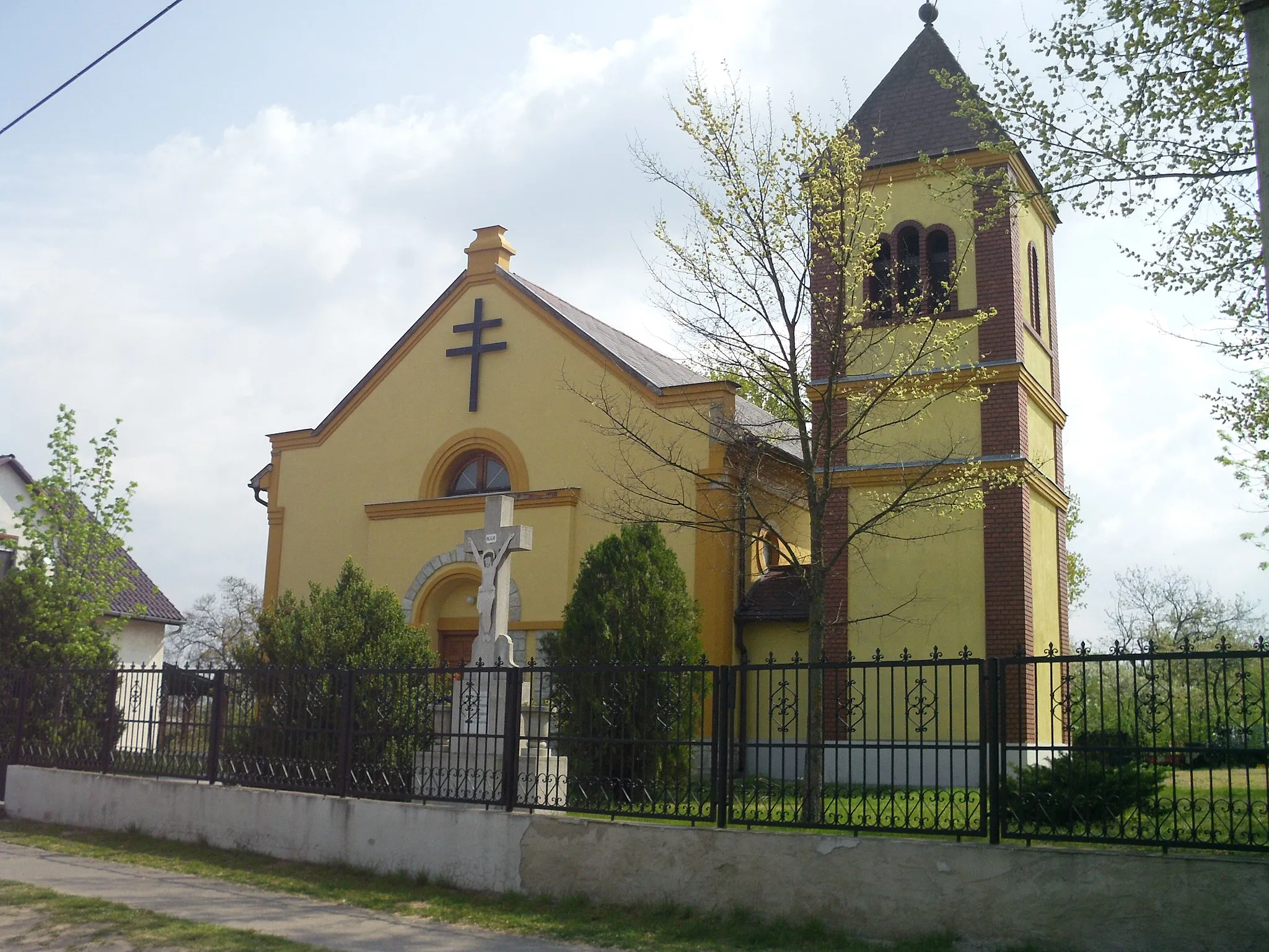
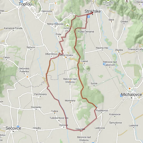
The Rural Escape route is a peaceful gravel cycling journey that takes you through the idyllic rural countryside surrounding Strážske. With a total ascent of 367 meters and a distance of 56 kilometers, this route is ideal for cyclists of all levels seeking a relaxed and picturesque ride. Along the way, you'll encounter highlights such as Dlhé Klčovo, a quaint village with its charming architecture and quiet streets, and Trhovište, a lively market town known for its bustling atmosphere. This route offers a mix of smooth gravel roads and gentle slopes, allowing you to soak in the tranquil beauty of Východné Slovensko.
The Eastern Explorer

Embark on a unforgettable adventure exploring diverse landscapes of Eastern Slovakia
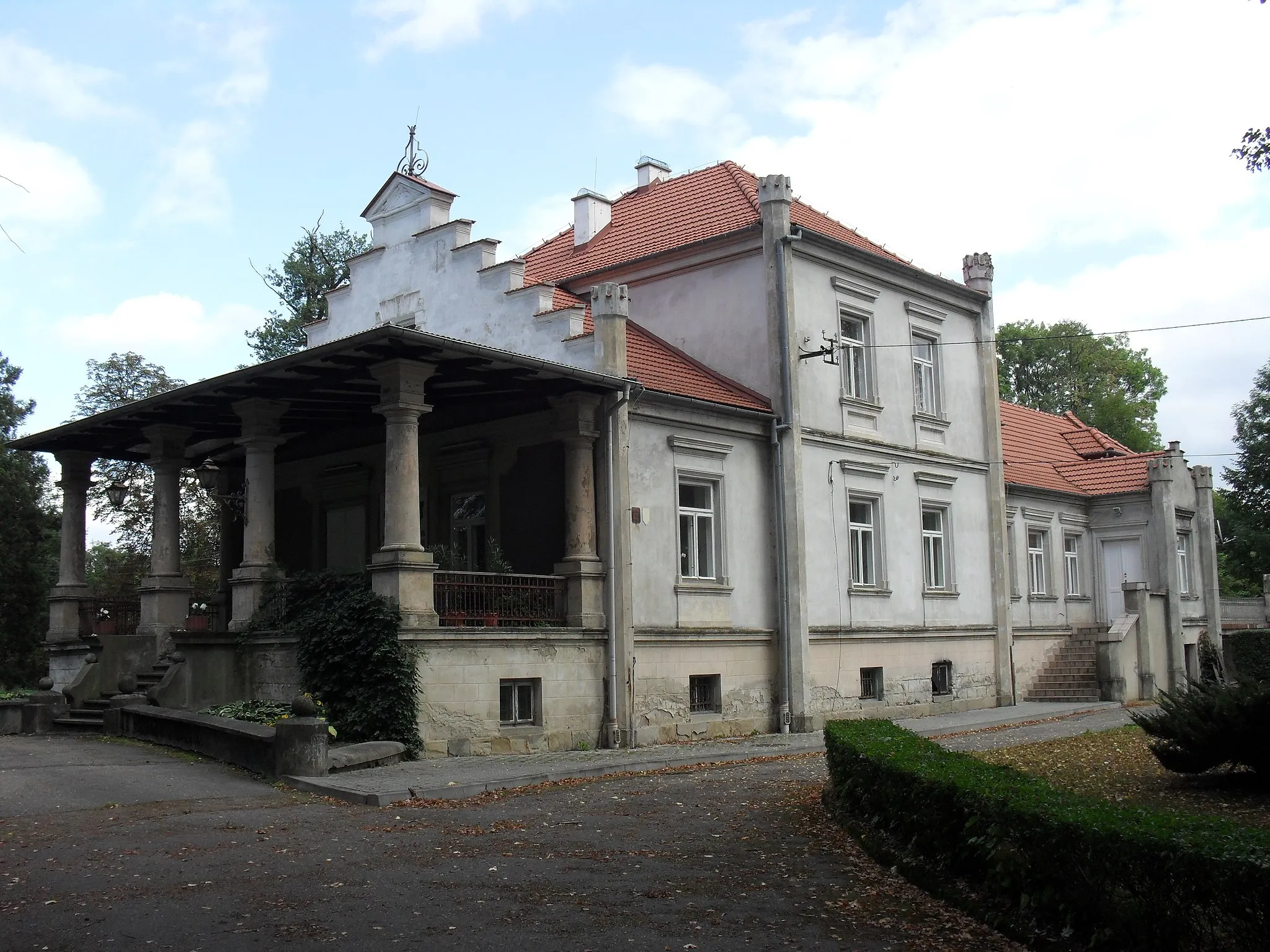
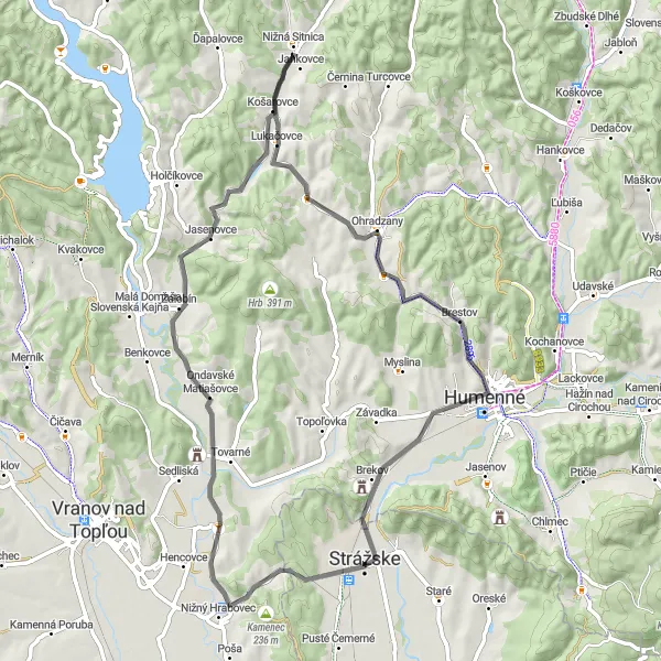
The Eastern Explorer is a 115 km road route that takes you through diverse landscapes and historic sites in Eastern Slovakia. With a total ascent of 1484 meters, this route provides a challenging experience for cyclists with intermediate or advanced skills. Starting near Strážske, you will ride past highlights such as Červený kameň, a historic castle known for its red facade, Nižný Hrabovec, a scenic village embraced by nature, Čaklov, offering panoramic views along the way, Bartáková featuring charming traditional architecture, Osada Dubník with its distinctive community, Dubník with its captivating landscapes, Lysá providing mesmerizing views from its peak, Poloma showcasing rural charm, Matiaška surrounded by tranquility, Na horu for a panoramic journey, Hora with its rich history, and Brekov with its medieval fortress overlooking the surroundings.
Road Tour to Nižný Hrabovec
Discover the charming village of Nižný Hrabovec on this scenic road tour
The Road Tour to Nižný Hrabovec is a 64 km cycling route that allows you to immerse yourself in the beauty of Eastern Slovakia. With a total ascent of 341 meters, this route is ideal for beginners or those who prefer a more relaxed ride. Starting near Strážske, you will pass through highlights such as Nižný Hrabovec, a picturesque village surrounded by stunning nature. Other notable spots include Červený kameň, a red castle known for its distinctive appearance, Kyprica with its peaceful atmosphere, Potoky offering scenic views of rolling hills, Brekov and its medieval fortress, and Klokočiny with its captivating castle ruins.
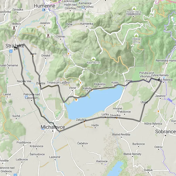
Embark on a scenic road cycling journey through the rolling hills of Východné Slovensko, starting from Strážske.
The Rolling Remety route promises a delightful road cycling experience through the picturesque rolling hills of Východné Slovensko. With a total ascent of 324 meters and a distance of 76 kilometers, this route is suitable for cyclists of all levels seeking a scenic and moderately challenging ride. Along the way, you'll encounter highlights such as Vinné, a charming village known for its vineyards and stunning landscapes, and Michalovce, a vibrant town with a rich history and cultural heritage. This route offers a mix of gentle climbs and rolling descents, providing a perfect balance of challenge and enjoyment.
The Hilly Humenné
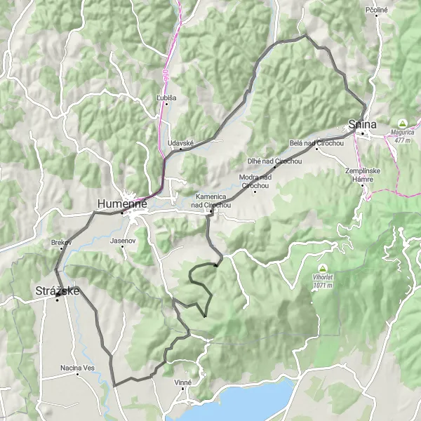
Explore the hilly terrain of Humenné and experience the beauty of Východné Slovensko.
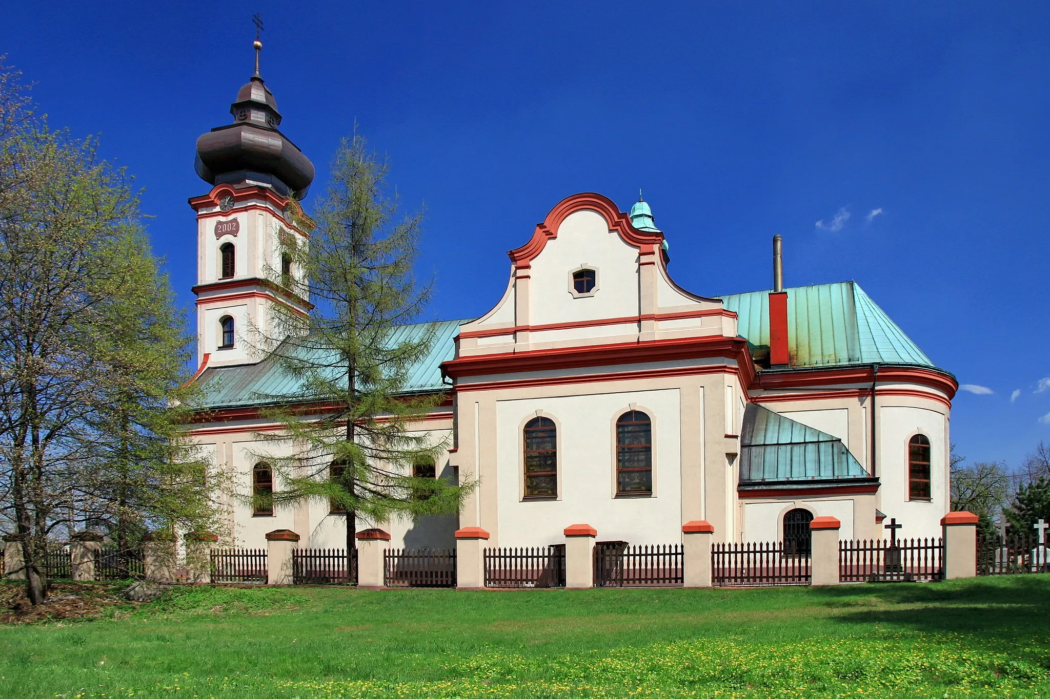
The Hilly Humenné route is a challenging road cycling experience that takes you through the breathtaking landscape of Východné Slovensko. With a total ascent of 976 meters and a distance of 93 kilometers, this route is perfect for well-trained amateur cyclists looking for a thrilling adventure. Along the way, you'll encounter highlights such as Humenné, known for its historical architecture and vibrant atmosphere, and Trnava pri Laborci, a picturesque village with stunning views. This route offers a mix of steep climbs and thrilling descents, promising an unforgettable cycling experience.
Cycling routes nearby:
Nearby regions: