Trebišov - Relaxing rides in peaceful countryside
Cycling routes from Trebisov
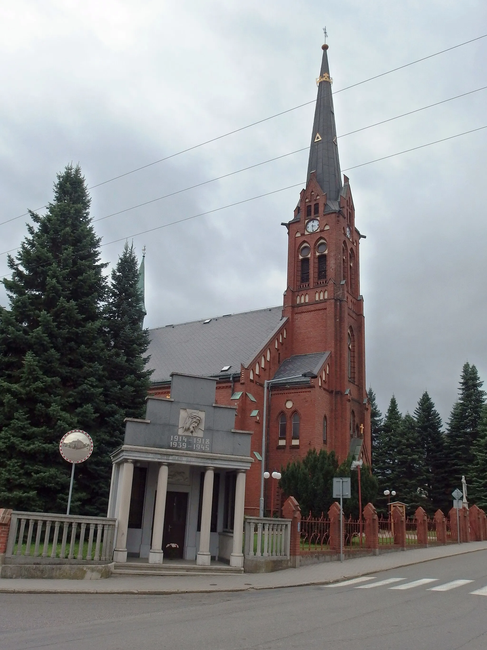
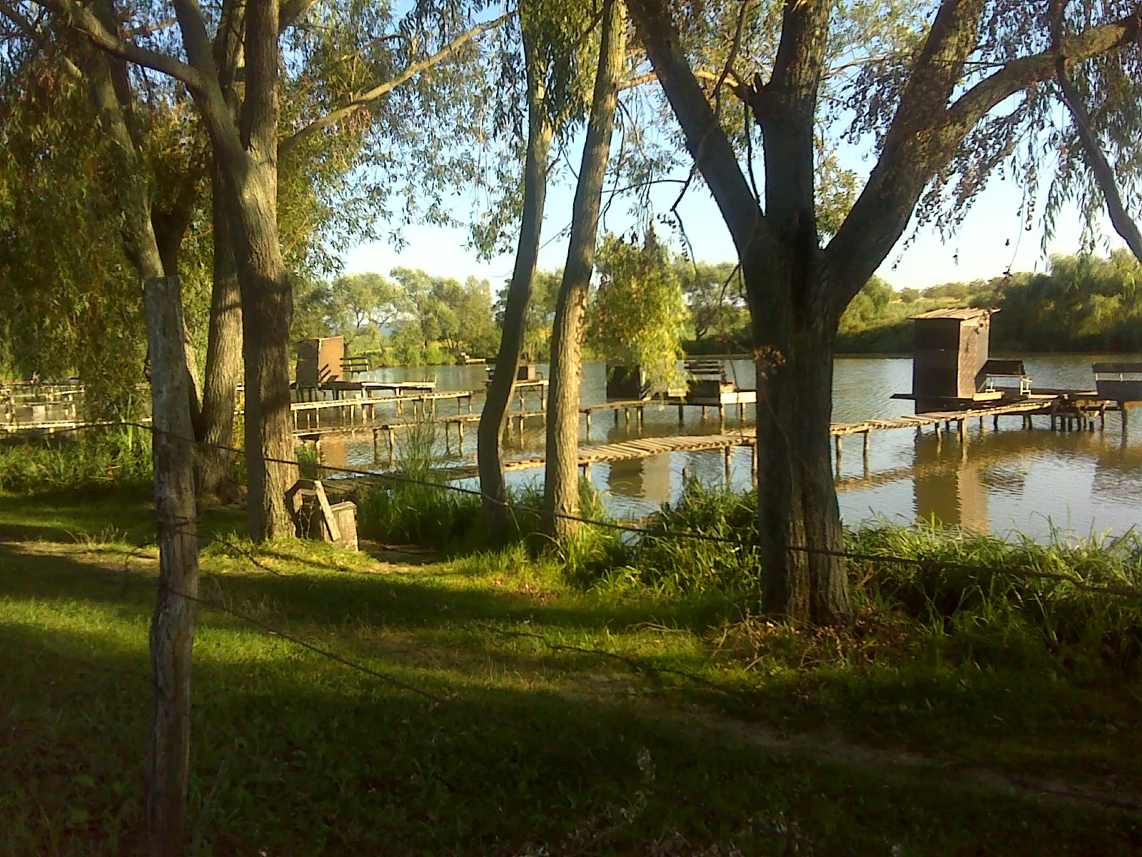
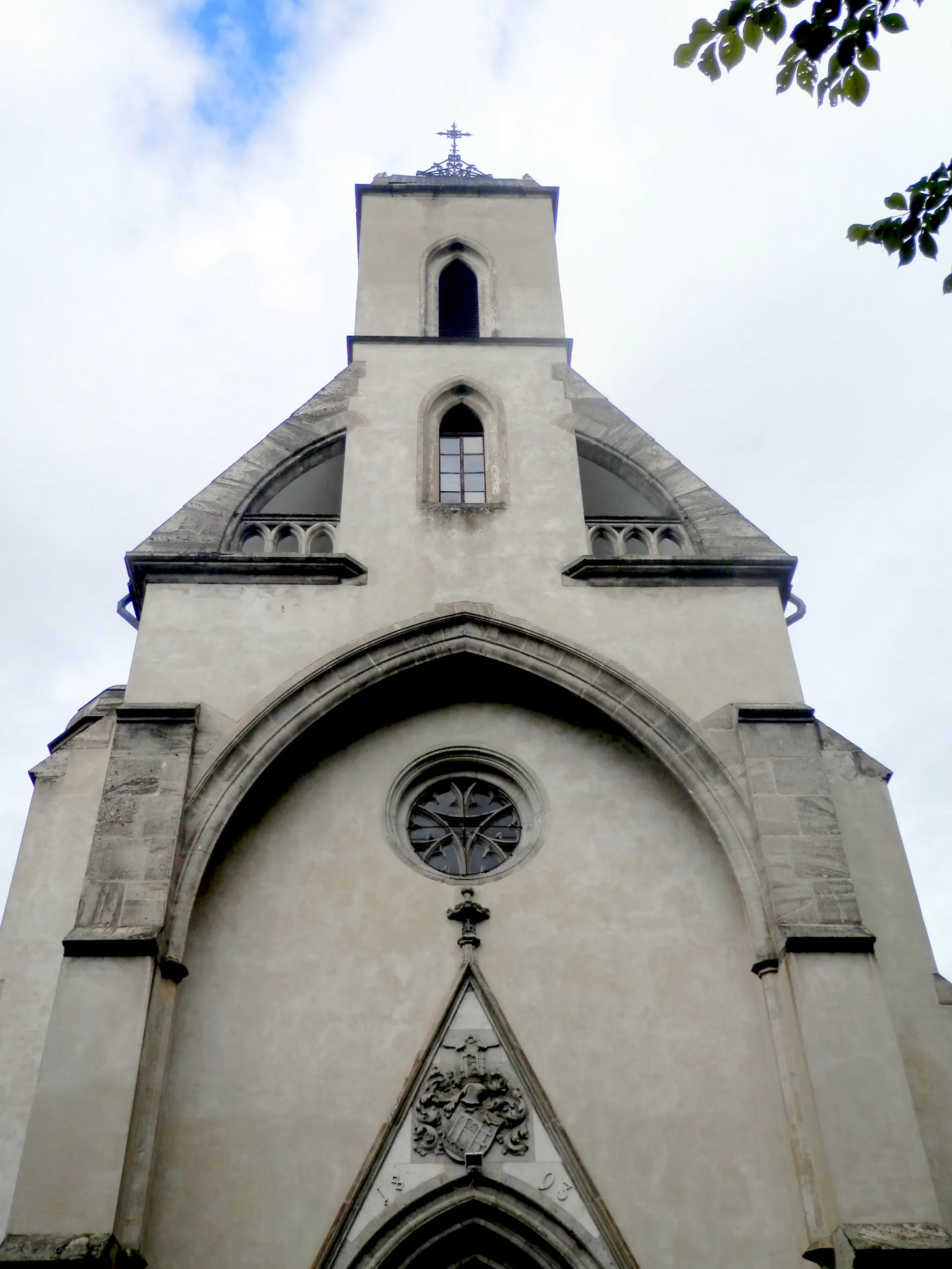
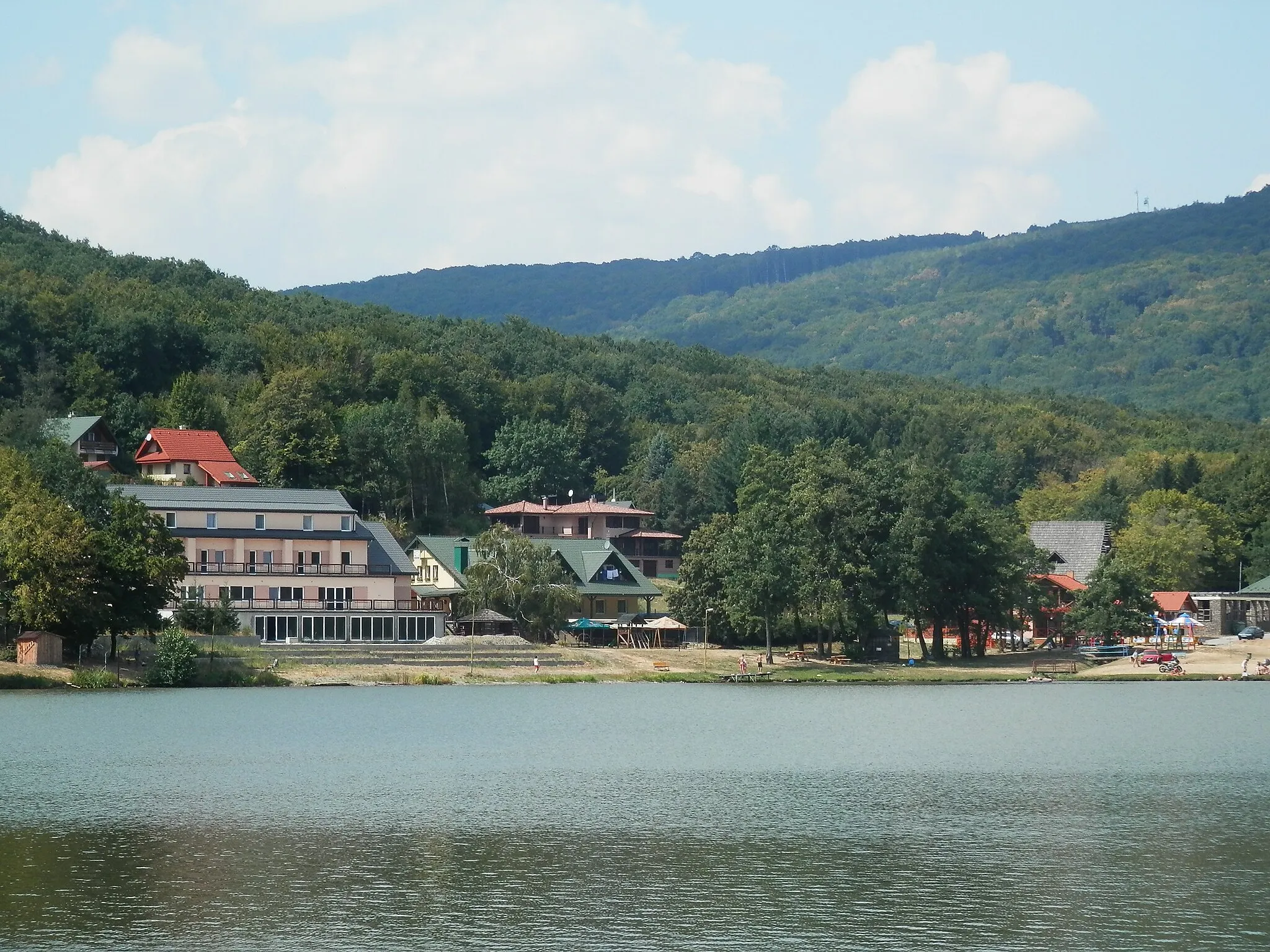
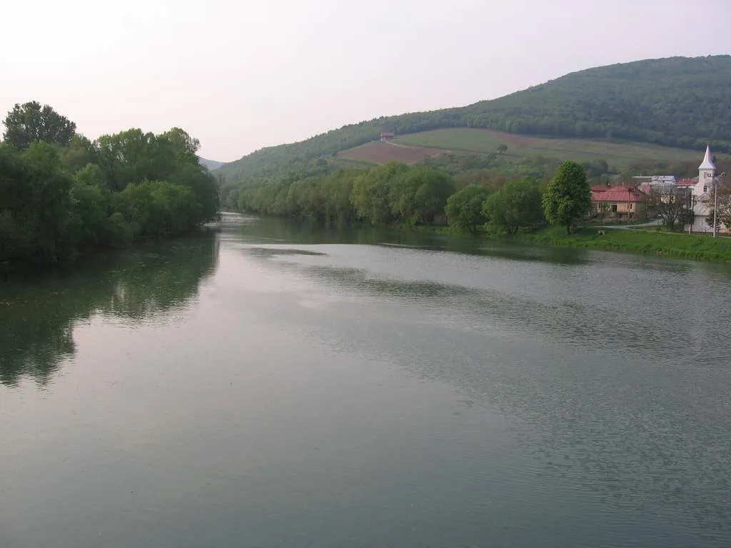
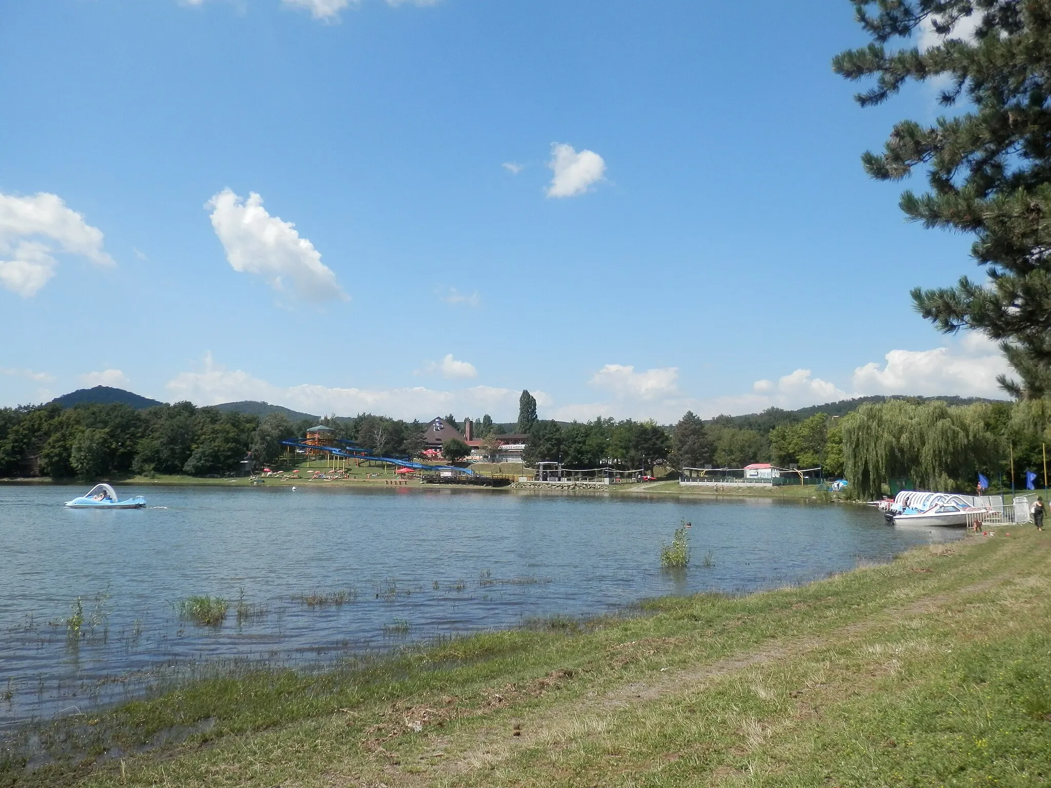
Trebišov is a town situated in the Eastern region of Slovakia. From a cyclist's perspective, Trebišov offers relatively flat terrain, suitable for easy rides and family outings. The town itself provides pleasant countryside scenery for cyclists to explore, with the opportunity to visit nearby natural attractions such as the Vinianske Jazero reservoir. While not known for famous cycling-related spots or challenging climbs, Trebišov is nevertheless a peaceful area for leisurely cycling. Additionally, the town is located within reach of larger cities like Košice, which offer more extensive cycling resources and experiences.
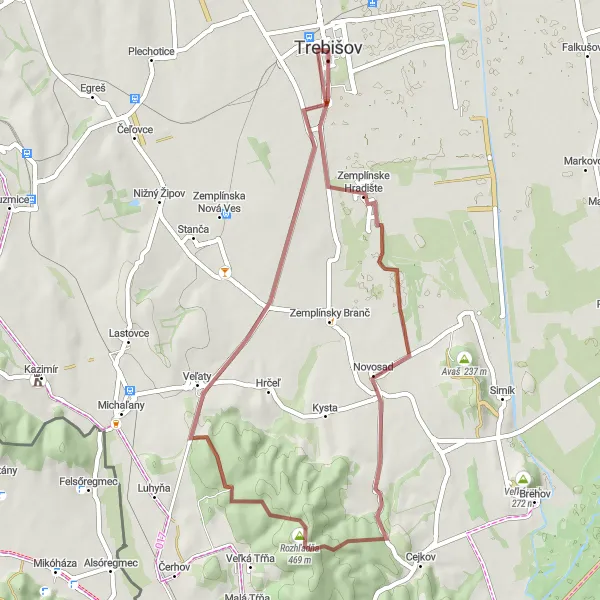
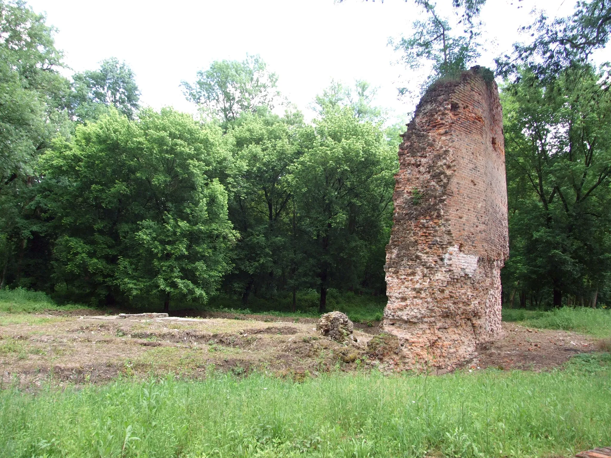
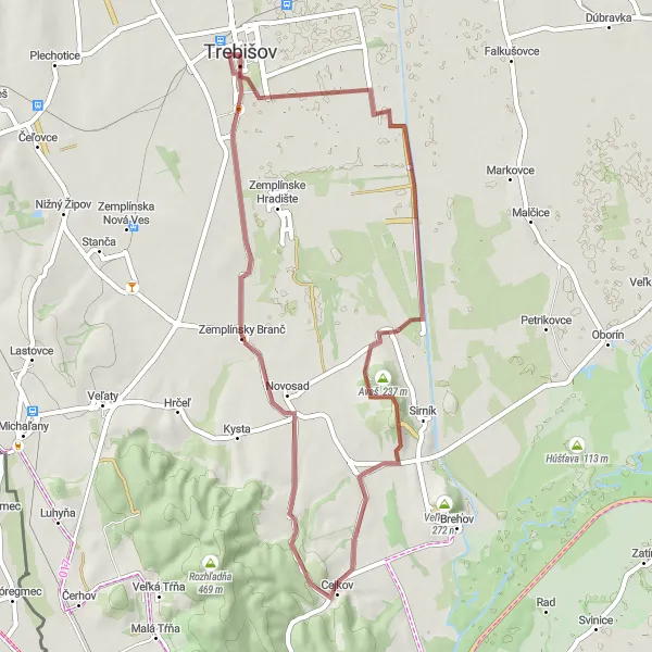
An exciting gravel cycling route that takes you through ancient ruins and offers panoramic views over the Zemplínske vrchy mountains.
The Hradište Loop is a 46 km long gravel cycling route starting near Trebišov in Eastern Slovakia. It takes you through the Zemplínske vrchy mountains, providing stunning views and a sense of adventure. With a total ascent of 460 meters, this route is suited for experienced gravel cyclists.
The Grazing Gravel
An adventurous gravel cycling route that takes you through scenic countryside with plenty of opportunities for wildlife spotting.
The Grazing Gravel is a 48 km long gravel cycling route starting near Trebišov in Eastern Slovakia. It offers a mix of off-road trails and quiet country roads, providing an amazing opportunity to explore the region's natural beauty. With a total ascent of 270 meters, this route is suitable for intermediate cyclists.

A challenging gravel cycling route that takes you through dense forests and takes you to a lookout tower with breathtaking views.
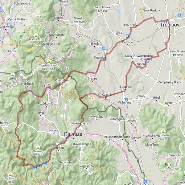
The Jastrabie Challenge is a 52 km long gravel cycling route starting near Trebišov in Eastern Slovakia. It takes you through the thick forests of the Zemplínske vrchy mountains, providing an exhilarating off-road experience. With a total ascent of 587 meters, this route is recommended for experienced gravel cyclists.
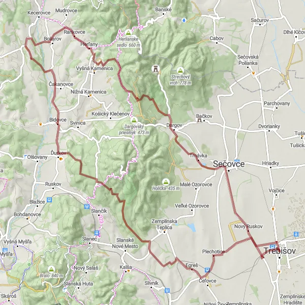
A challenging gravel route that explores the beauty of Herľany and Nový Ruskov
Explore the beauty of Herľany and Nový Ruskov on this challenging gravel route near Trebišov. With a total ascent of 1222m and a distance of 89km, this route is ideal for experienced cyclists who crave a thrilling adventure. Highlights include Herľany, Životy, Dargov, and Nový Ruskov, each offering unique attractions and stunning natural vistas. As you navigate the gravel paths and conquer the challenging climbs, you'll be rewarded with breathtaking views and a sense of accomplishment. This route is not for the faint of heart, but it promises an unforgettable journey through the picturesque Slovakian countryside.
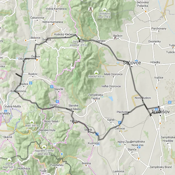
A scenic road adventure taking you through picturesque towns and challenging sections
Embark on a scenic road adventure near Trebišov that will take you through the picturesque towns of Bohdanovce and Nový Ruskov. With a total ascent of 861m and a distance of 78km, this route offers a challenging yet enjoyable ride. Highlights along the way include Bohdanovce, Olšovany, Dargovský priesmyk, and Nový Ruskov, each offering a unique experience and stunning views. As you pedal through the countryside, you'll be captivated by the charm of the towns and the natural beauty of the surrounding landscapes. Whether you're an experienced cyclist or a beginner looking for new adventures, this route has something for everyone.
The Gravel Adventure
Explore the gravel roads near Trebišov and discover the hidden gems of Východné Slovensko.
Embark on a unique cycling journey through the picturesque landscapes of Východné Slovensko. This gravel route near Trebišov offers both adventure and tranquility, showcasing the beauty of rural Slovakia. With a moderate ascent of 671 meters over a distance of 56 kilometers, this route is suitable for well-trained amateur cyclists. Experience the thrill of off-road cycling while exploring charming villages, historical landmarks, and breathtaking natural sights.
A gravel ride that takes you through quaint villages and challenging hilly sections
This hilly gravel route near Trebišov is perfect for those looking for a challenging ride through peaceful villages and scenic hills. With a total ascent of 1477m and a distance of 96km, it offers a good workout for riders of all levels. The route passes by several highlights, including Korom-tetö, Kishuta, Kis-Szarvas kő, Pál hegy, and Füzér, allowing you to explore interesting points along the way. As you cycle through the beautiful countryside, you'll be treated to stunning views and a peaceful atmosphere that makes this route truly special.
The Ondava Loop
A scenic road cycling route that takes you through picturesque villages and offers stunning views over the river Ondava.
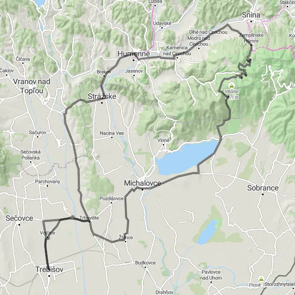
The Ondava Loop is a 151 km long road cycling route starting near Trebišov in Eastern Slovakia. It takes you through historic towns and beautiful countryside, offering an authentic experience of the region. With a total ascent of 937 meters, this route provides a moderate challenge for cyclists.
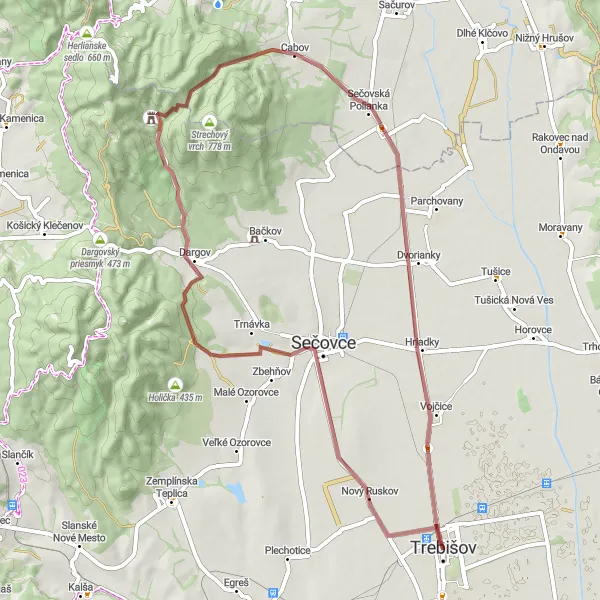
The Michalovce Adventure

A scenic road cycling route that takes you through beautiful countryside and offers a glimpse into local life.
The Michalovce Adventure is a 111 km long road cycling route starting near Trebišov in Eastern Slovakia. It takes you through picturesque towns and villages, providing an authentic experience of the region. With a total ascent of 137 meters, this route is suitable for all types of cyclists.
An epic road ride exploring the beauty of Alsóregmec and Abaújvár
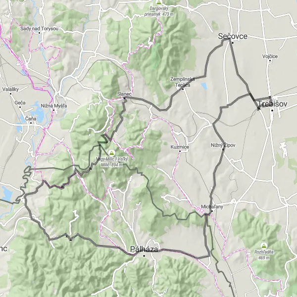
Embark on an epic road ride through the beautiful towns of Alsóregmec and Abaújvár near Trebišov. With a total ascent of 1385m and a distance of 114km, this route is recommended for experienced cyclists who seek a thrilling challenge. As you pedal through the picturesque countryside, you'll encounter highlights such as Alsóregmec, Pálháza, Nyereg, Abaújvár, Rabócsik, and Nový Ruskov. Each highlight offers its own unique charm and breathtaking views of the surrounding landscapes. This route promises an unforgettable journey filled with stunning sights and a sense of adventure.
Cycling routes nearby:
Nearby regions: